Beinn Chaorach(818m)
Saturday 28th September 2024
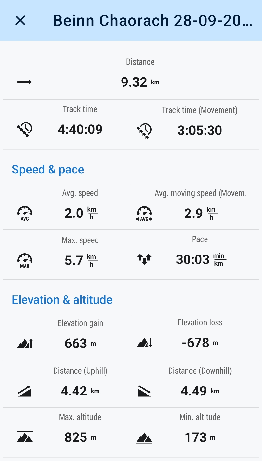
10kms
4hrs 45mins
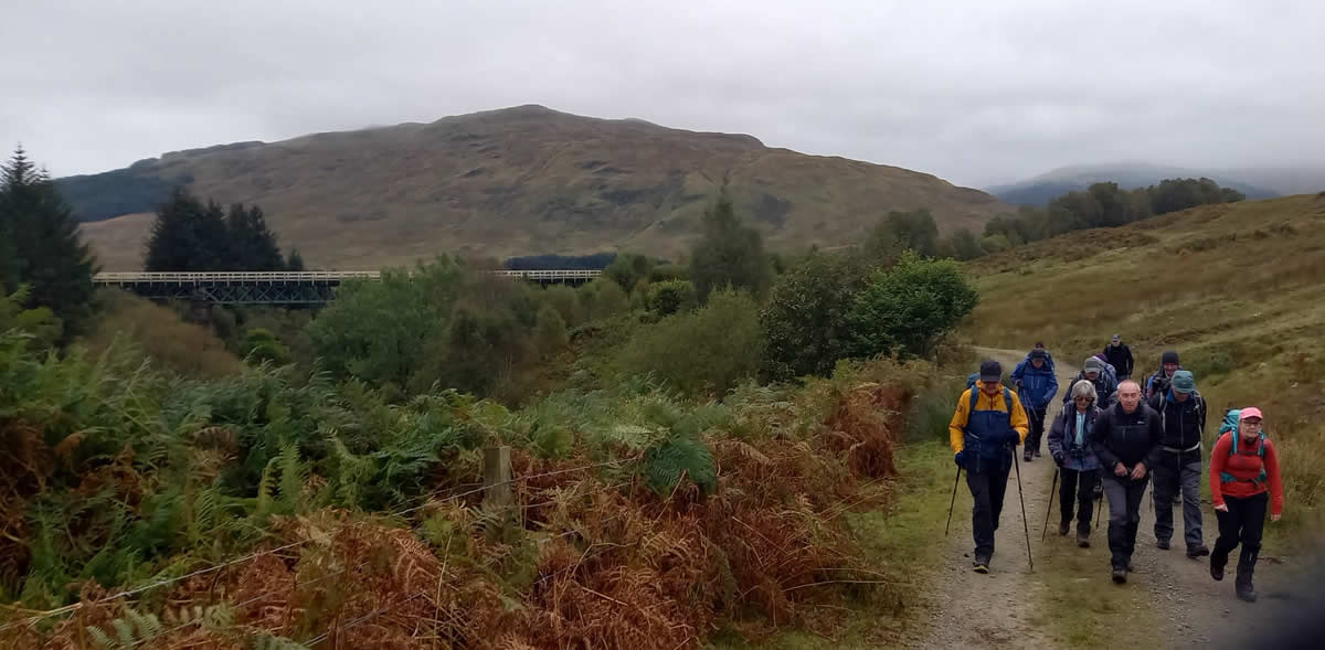
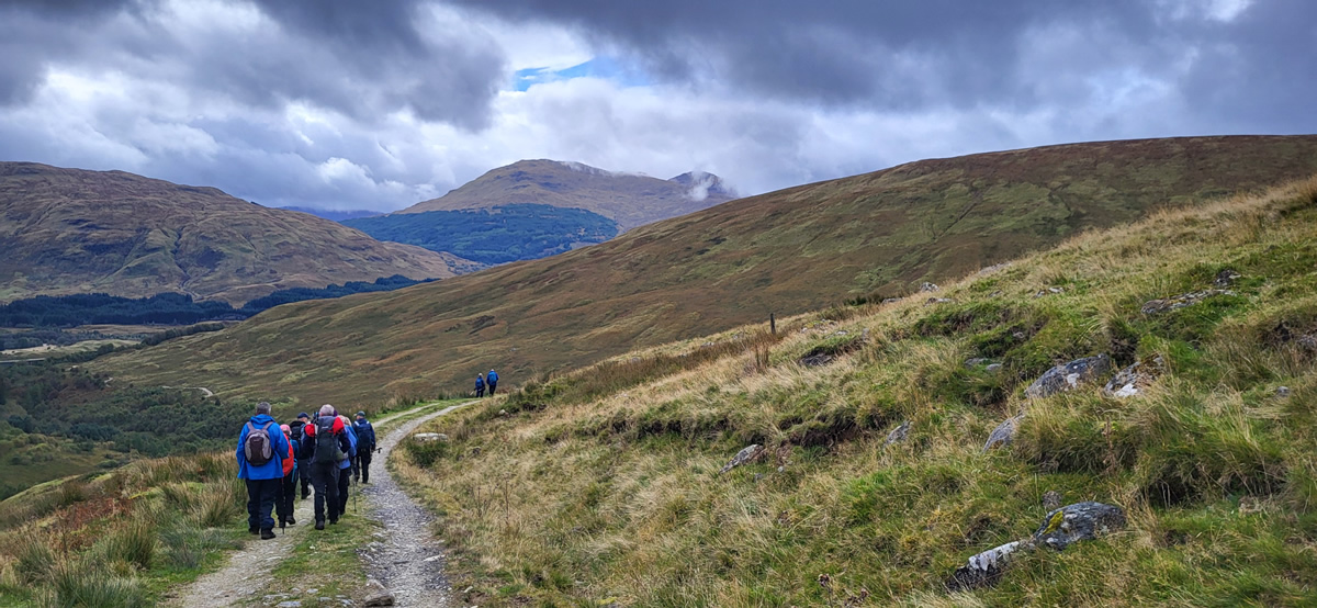
The mid-week weather forecast for the area of Beinn Chaorach was for a rather showery and dull day on Saturday. However, by Saturday morning the outlook was more reasonable, with just a chance of a shower, although the visibility was still forecast to be poor, with low cloud and mist hanging over the hillsides for most of the day; and so it was as we departed Auchtertyre, dry, misty, and a little breezy.
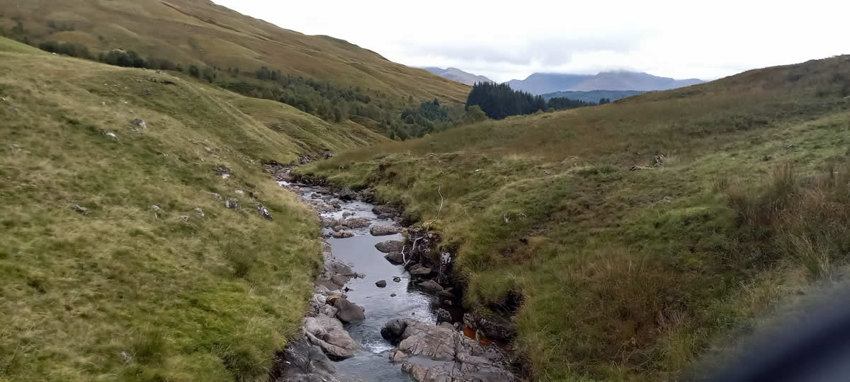
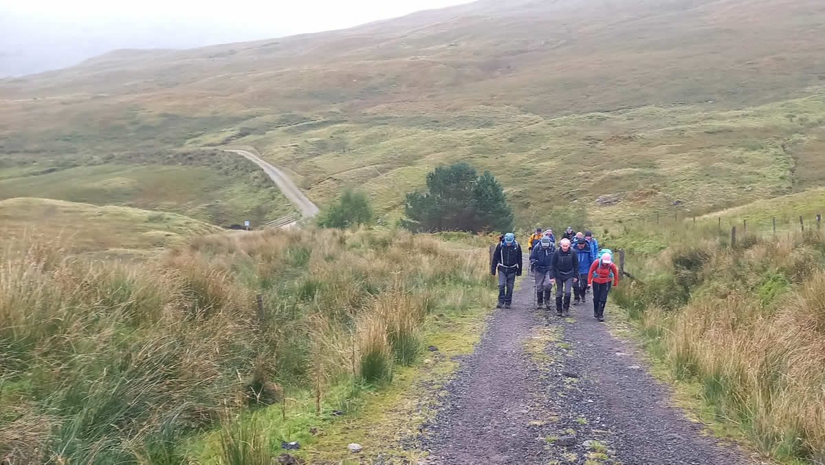
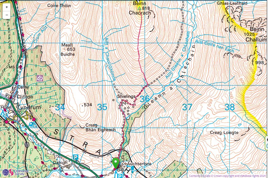
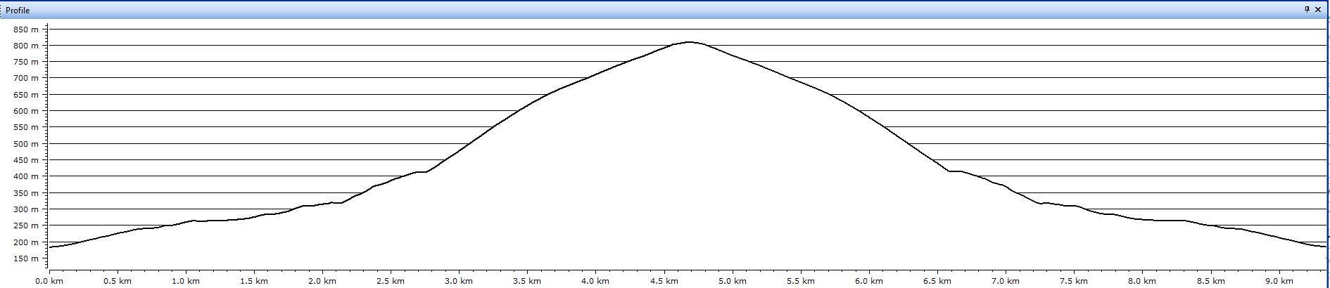
Taking the fine estate track leading north from Auchtertyre we climbed slowly uphill, passing under the viaduct which carries the Glasgow to Mallaig railway line and then dropping downhill a little to cross the bridge over the Allt a’ Chaol Ghlinne. The bridge is located where Caol Ghleann and Gleann a’ Chlachain merge, and, where the south ridge of Beinn Chaorach begins. The track also splits at this point, left into Caol Ghleann and right, the way we would go, into Gleann a’ Chlachain.
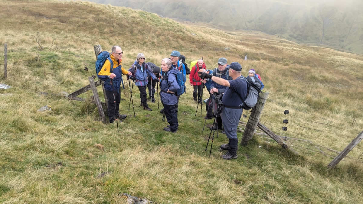
Rather than climb directly up the south ridge we continued on the estate track as it began to climb more steeply winding up and around the east side of the ridge until we reached a height of about 400 metres. At this point it was time for a short break, the weather was holding as forecast, dry, but with quite a chilly breeze, but thankfully no showers as yet.
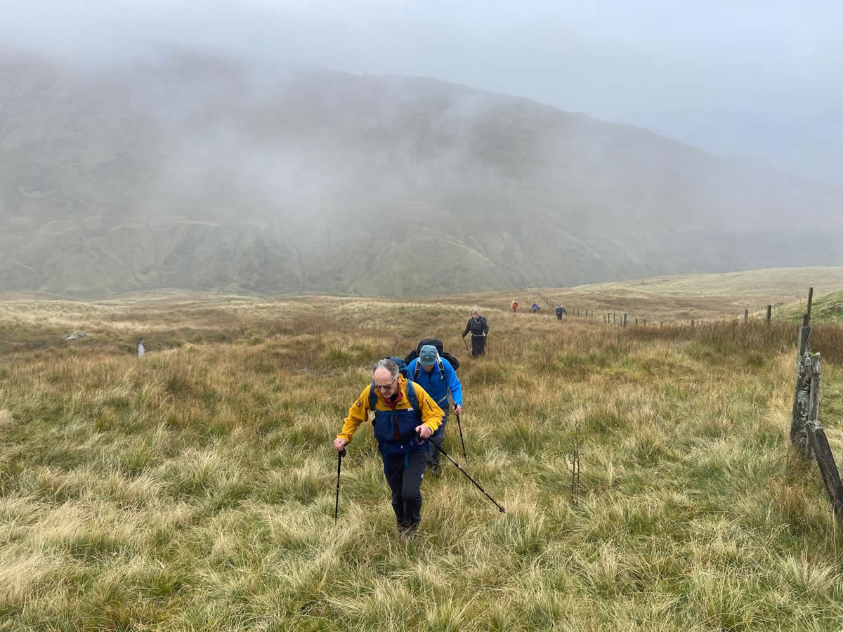
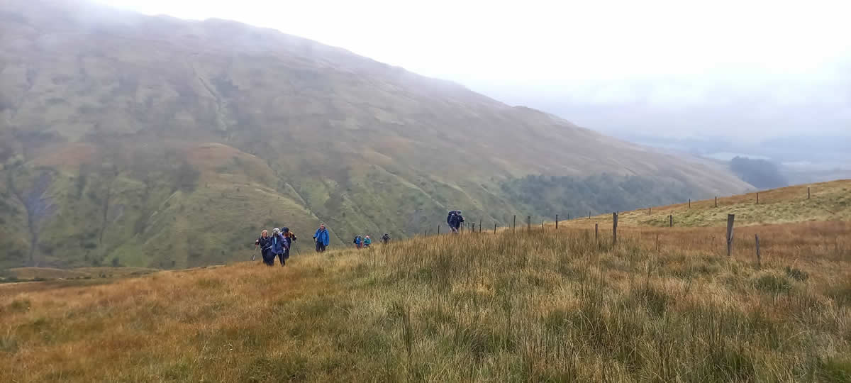
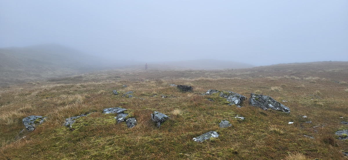
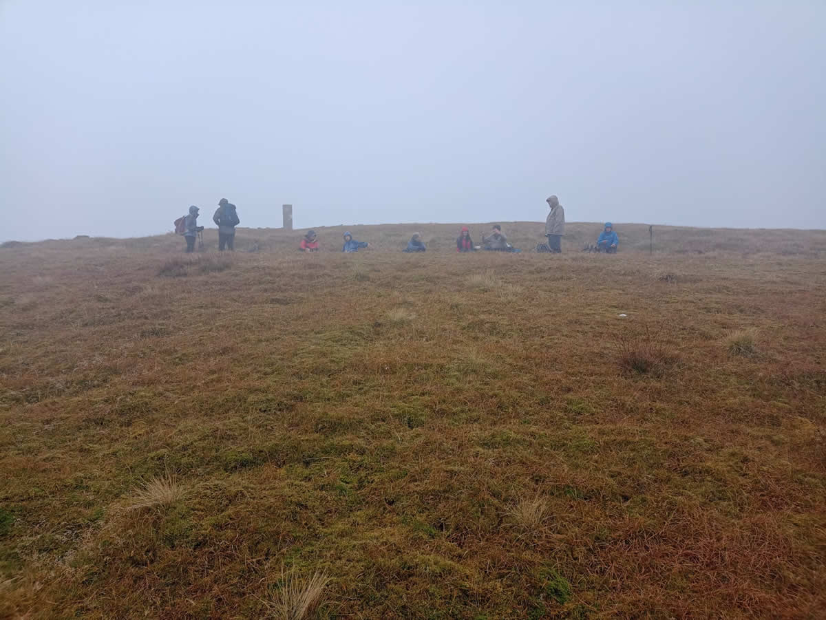
Mike’s chosen route to Beinn Chaorach was a route of two stages . The initial stage being the fine estate track we had used to bring us to a height of about 400 metres. The second stage, upon which we were about to embark was over rough grassy hillside. Not entirely pathless, as a faint ATV track runs alongside a series of very low, double posts leading directly to the summit with it’s Trig Point, some useful features for navigation, especially with the low visibility we were soon to encounter.
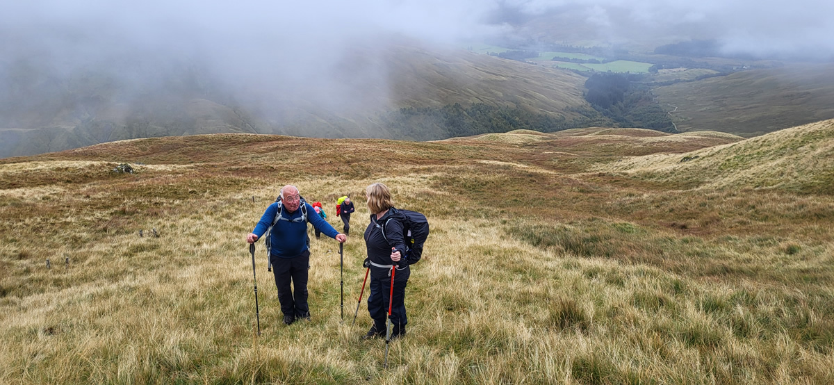
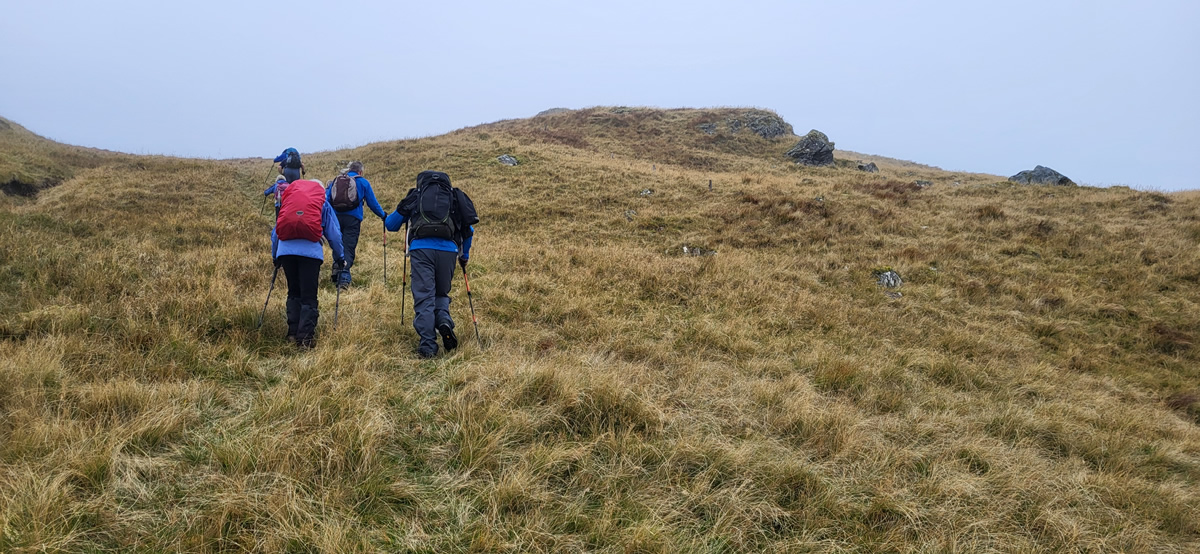
Break over, we left the estate track behind and started uphill, initially over some rough reed and tufted grass for about 300 metres until we picked up the faint ATV track and mini fenceposts at which point the grass and reeds underfoot became no more than short tufts of grass. Underfoot was getting easier, but head level was getting cooler as we climbed, mainly because the breeze had picked up a little, the mist was closing in and it had started to rain; it was time to don the waterproof tops, hats and hoods.
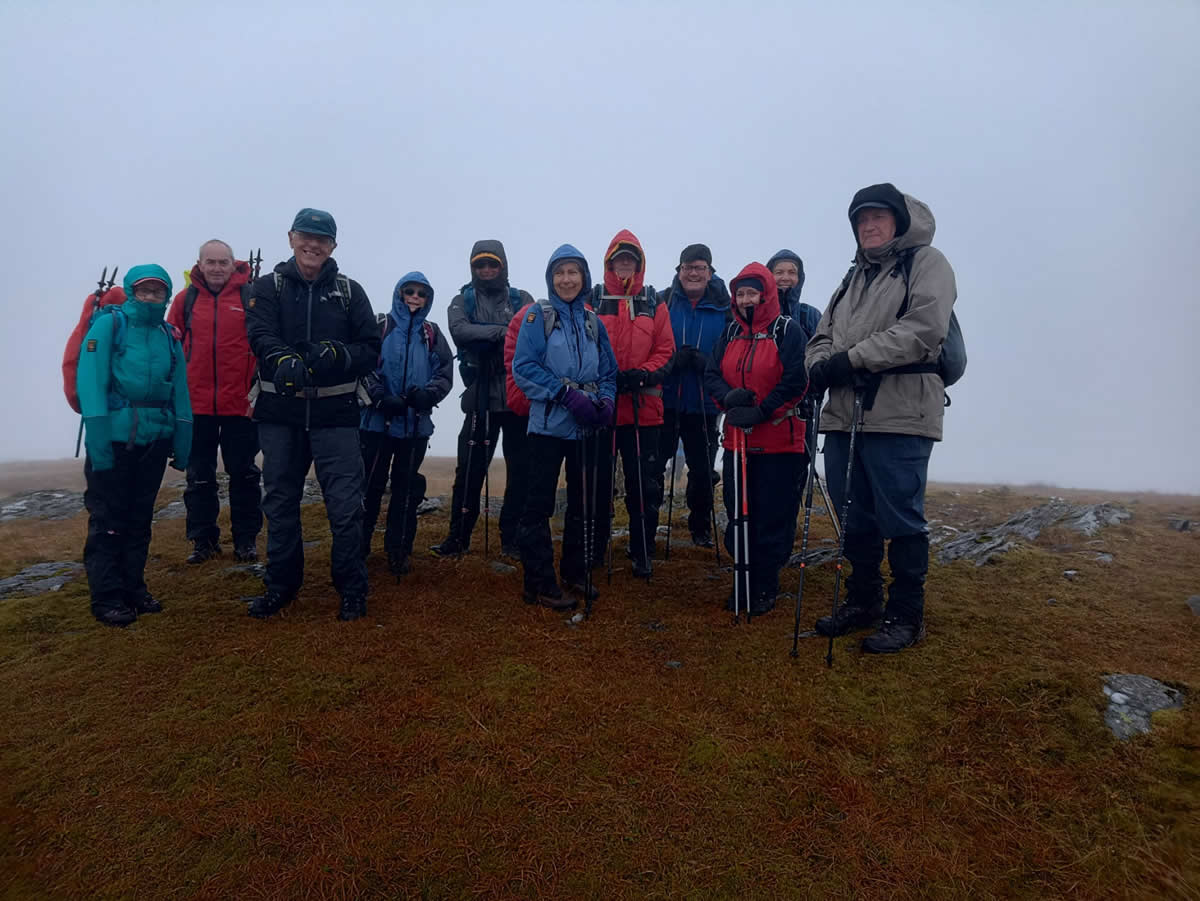
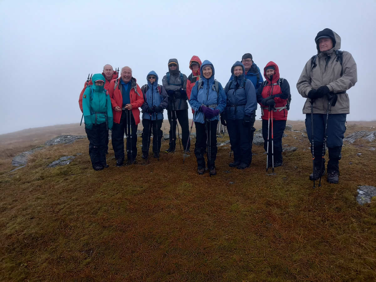
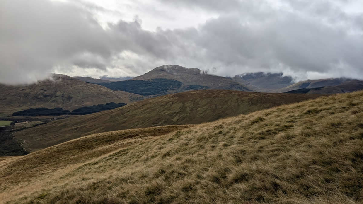
A nice steady climb and sure enough, there was the Trig Point appearing out of the drizzle and mist, A welcome spot, even on such a poor weather day, which was a shame, as this 818 metre summit offers some fantastic views of the surrounding mightier Munros, from those around Crianlarich, Strath Fillan and the mighty Ben Lui, a disappointment for those for whom this was their first time on Beinn Chaorach; however, it does mean that we can return to this great little mountain on another, brighter day.
After settling down for a lunch break, and the obligatory summit photo, we simply retraced our outward route back to Auchtertyre to end yet another enjoyable day in the hills.
Thanks Mike, and everyone for your company. John
Photo Gallery
Click the buttons to select photo size.