The Brack from Coilessan Glen(787m)
Saturday 21st September 2024
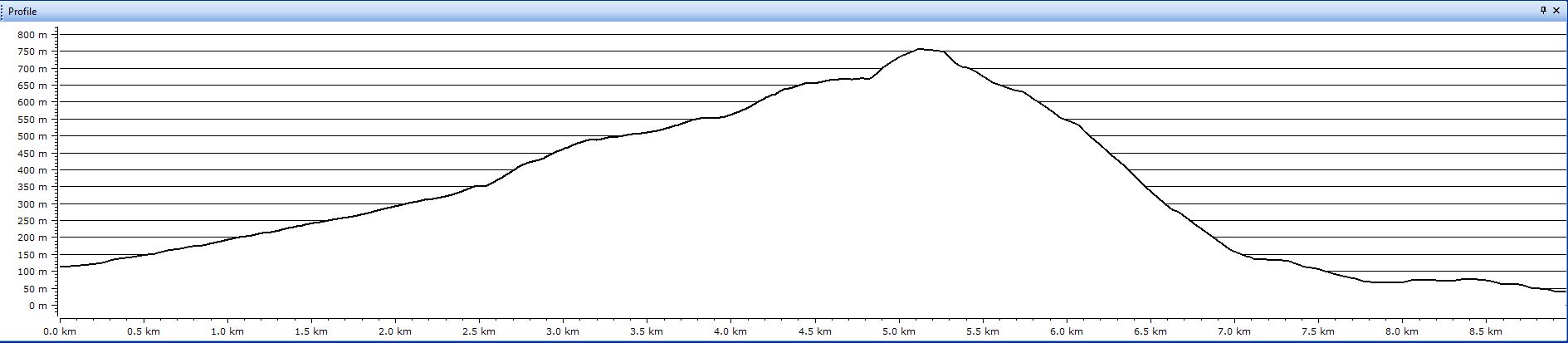
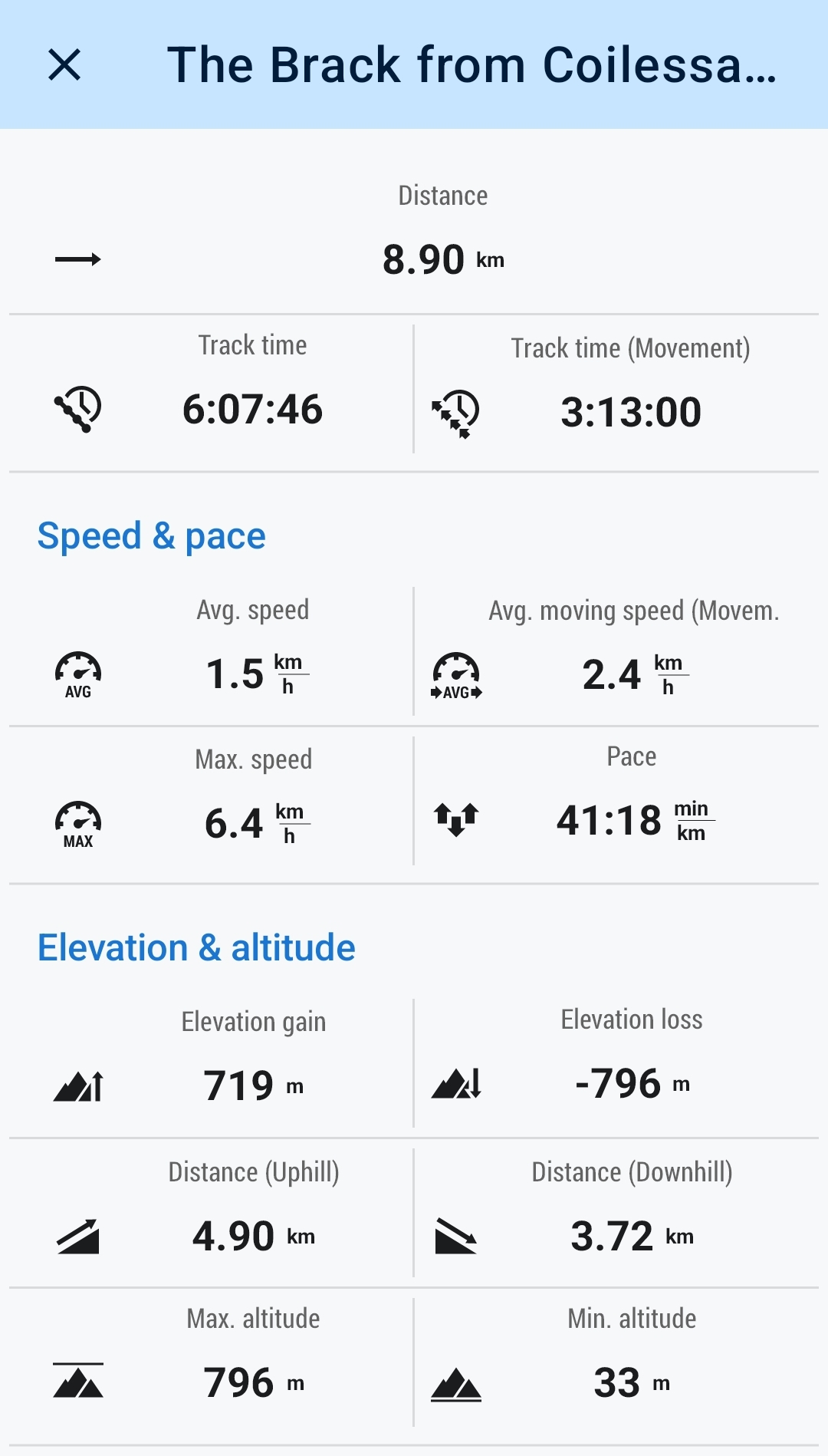
9kms
6hrs
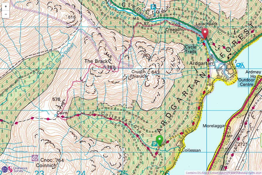
The Brack came up as a possibility for this weekend, but, with a twist to the usual Ardgartan round. We decided to drop a car at Ardgartan and take a second car along to the end of the tarmaced forest road to the car park at the head of Coilessan Glen and approach The Brack via the rugged south-southwest ridge.
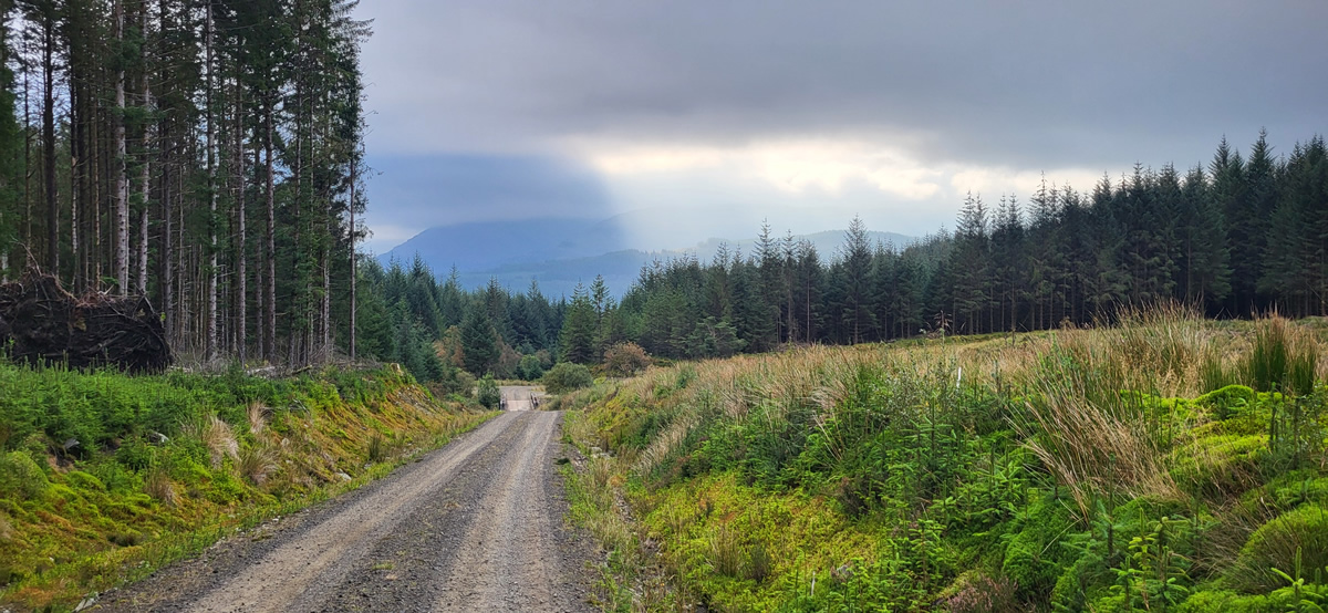
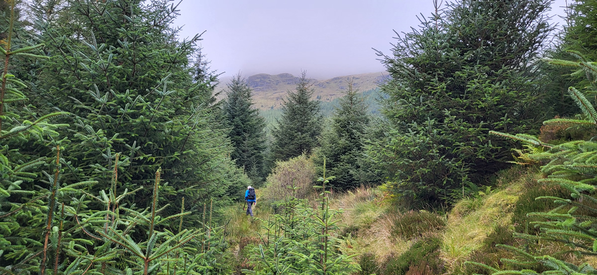
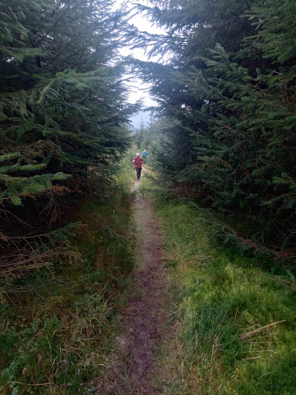
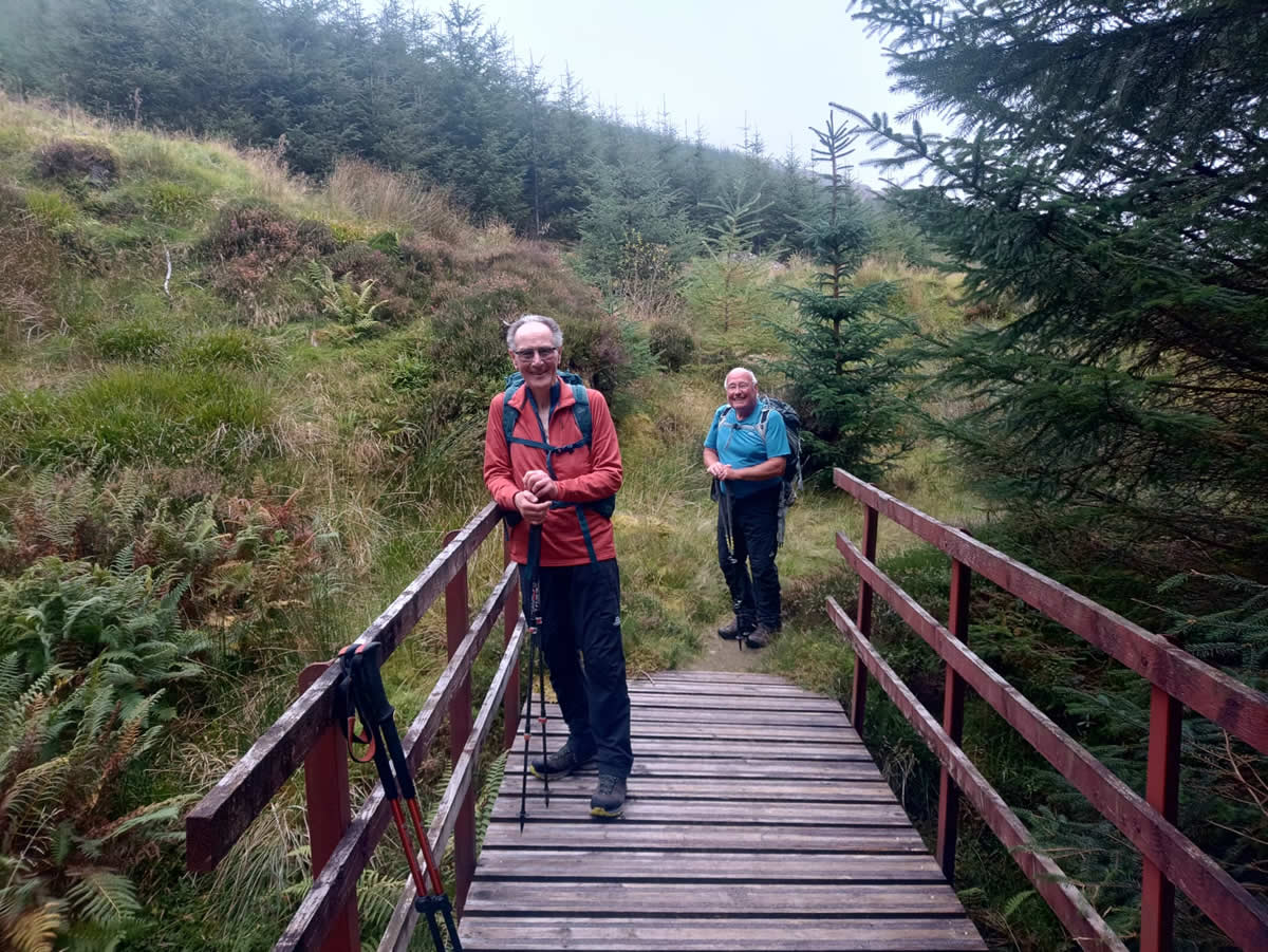
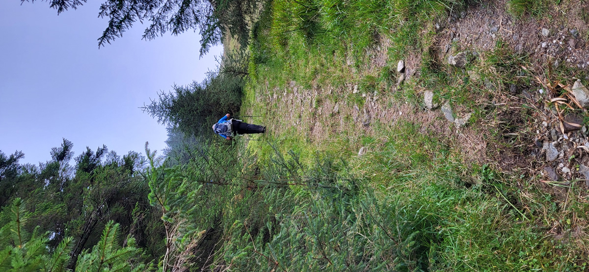
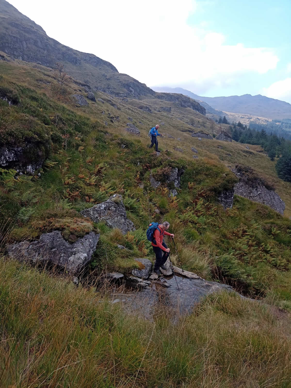
Departing the car park, we joined the route of the Cowal Way and followed the wide forest road on the south side of the Coilessan Burn before crossing the burn and continuing until we reached the cut-off point at around the 200 metre height where you leave the main forest track and dive into the thick forest and onto a narrow path pushing through the pines, a complete change of outlook as you are now engulfed by the forest. Shortly we crossed a small footbridge, beyond which the gradient steepens somewhat on the final climb to the gate at the forest boundary and onto the open hillside.
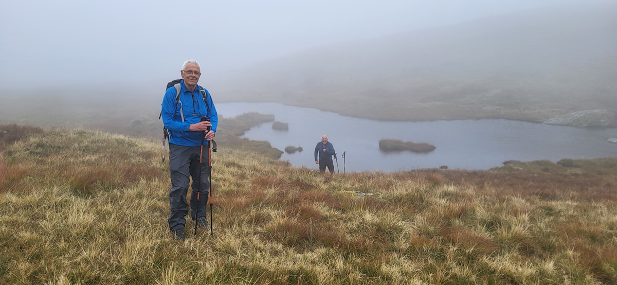
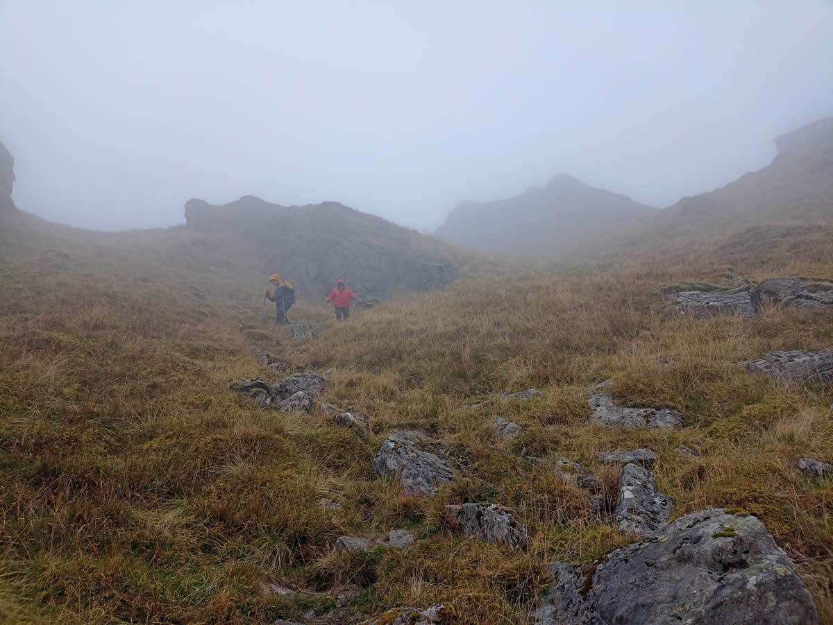
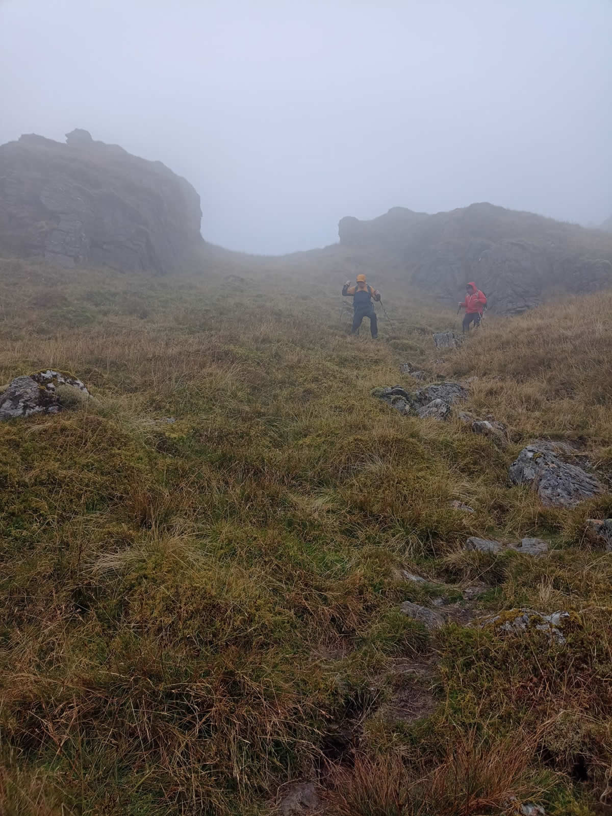
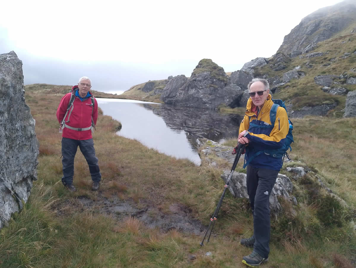
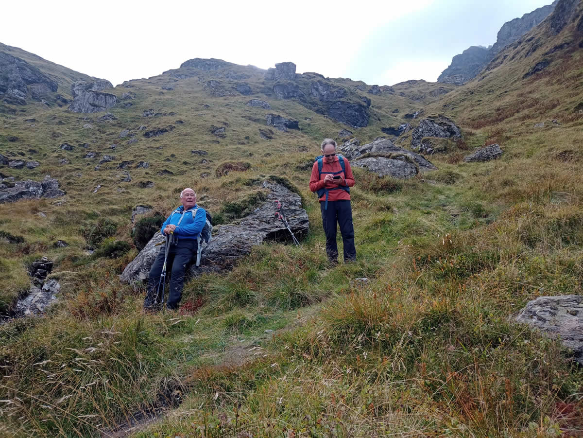
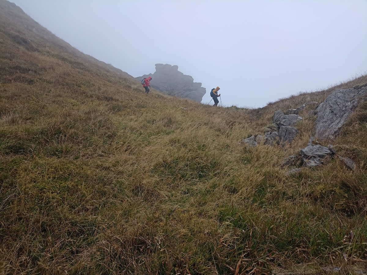
It was quite a surprise as we emerged from the forest to find just how misty it was out in the open hillside, not clear blue skies as forecast, just mist and a very cool breeze We climbed away from the forest for a short distance until we arrived at the cairn along the Cowal Way which would mark our departure from the LDP and walked the few metres across the grassy tufts to the small lochan which sits at the base of the south-southwest ridge of The Brack. It was here that we settled down for our first break of the day, and our first discussion as to route choice from this point onwards. We could skirt around to the left of the lochan and aim to climb up the western side of the ridge to the 578 metre southern top, or we could go right from the lochan and skirt below the eastern crags and climb up to the lochan below the south top. Decisions, decisions! However, two facts pointed towards the latter option. Firstly, Ian was fairly certain he had come across a path on the east side of the ridge on a previous descent from the summit to the Cowal Way, and secondly, although there are no tracks shown on the OS maps, a quick look at the freebie maps on Locus Maps shows a path running below the east crags and running, via the upper lochan to just below the summit. Decision taken, we would go right, east, around the base of the crags. According to the track shown on Locus Maps it was barely 100 metres from the lochan, and so we headed across to intercept it on a diagonal, and sure enough, there it was, a trodden path through the grass, not glaringly obvious, but clear enough if you were looking for it.
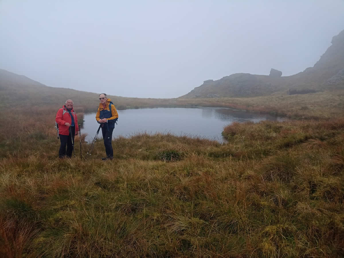
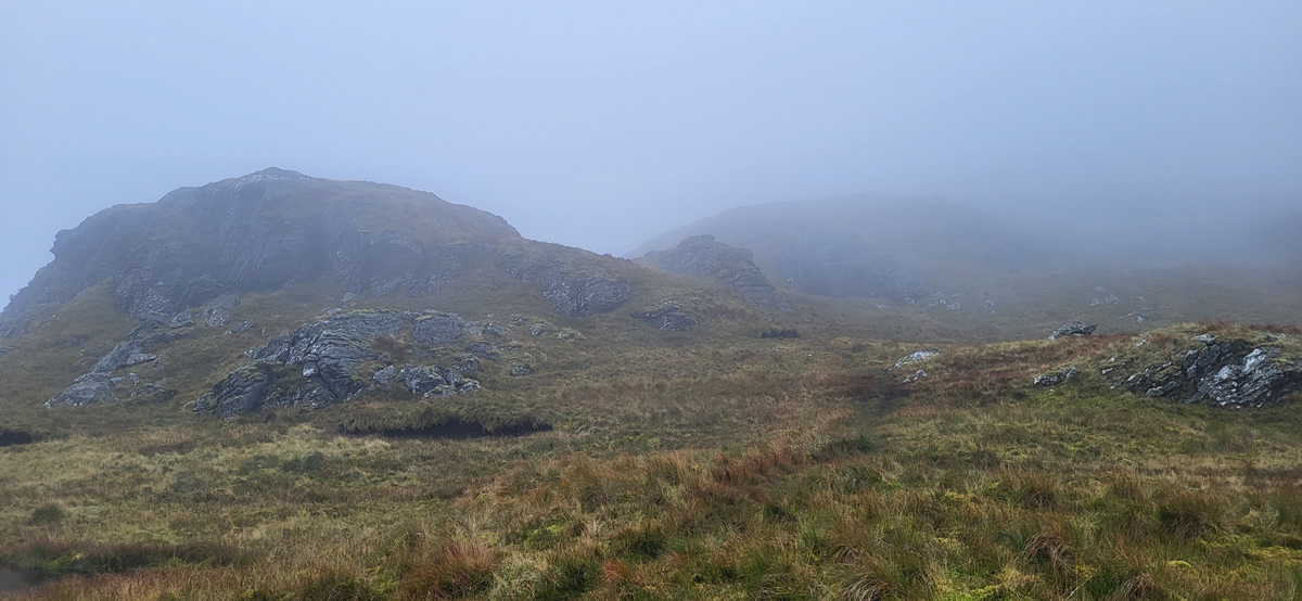
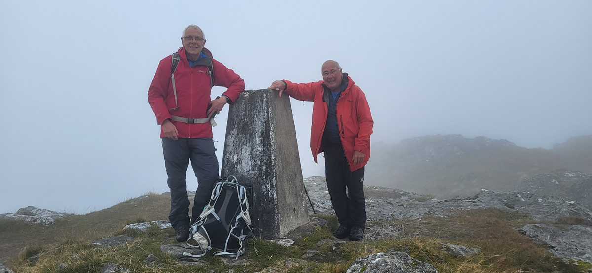
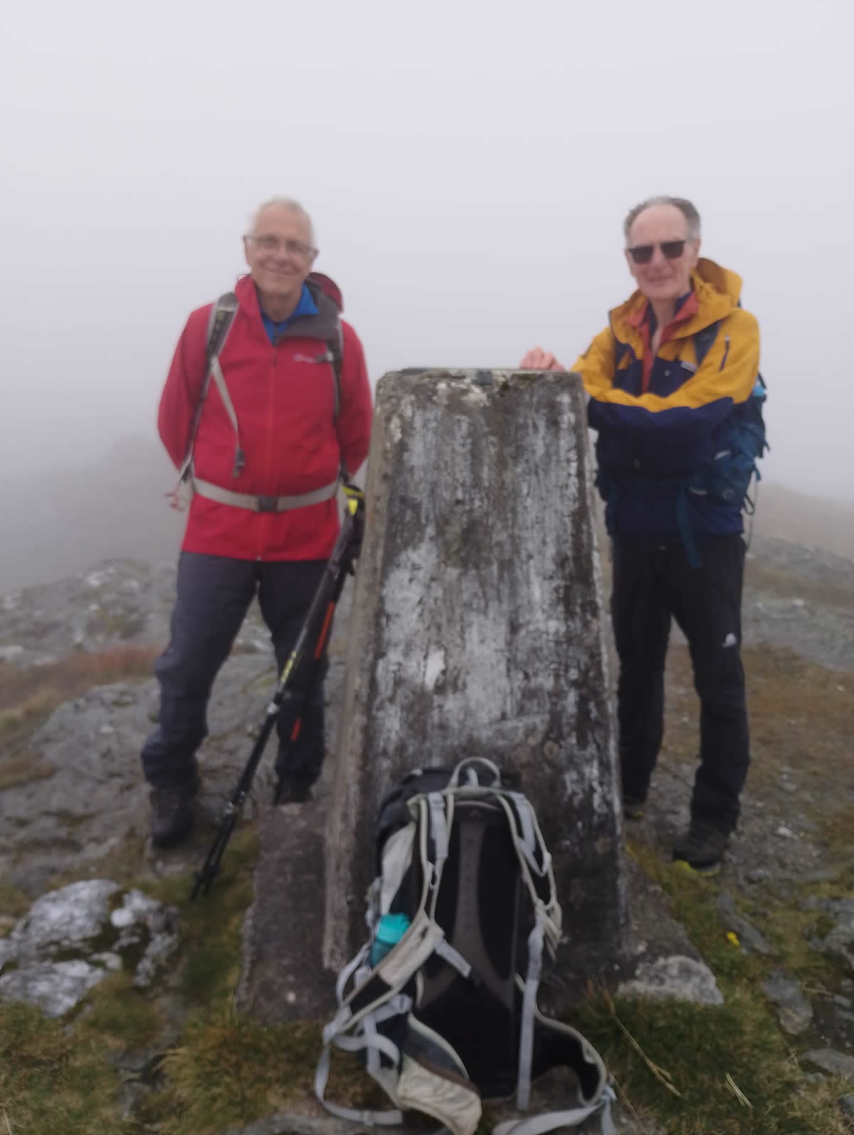
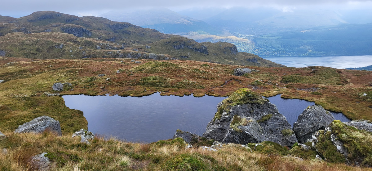
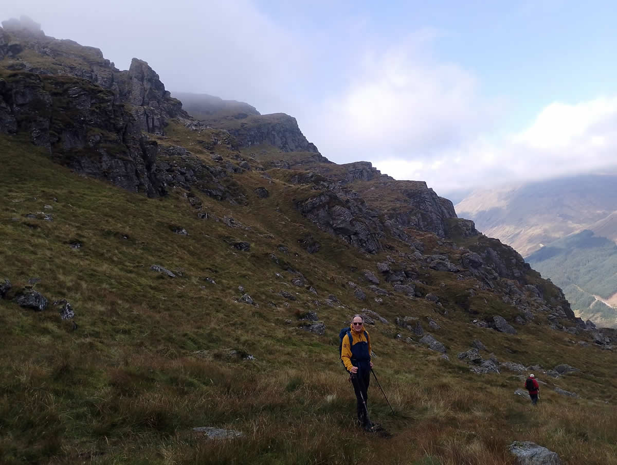
A great little path it proved to be, rising steadly upwards, skirting any craggy outcrop and passing directly by our second lochan of the day, slightly smaller than the previous and sitting among the crags in a dip below the 577 metre top it appeared out of the mist on our approach. Beyond the lochan, we continued our steady climb, all the time following this grassy track as it twisted around or up the numerous crags and rocky outcrops that are so prominent on this ridge. The grassy track finally merged into the grassy hillside a few hundred metres from the summit, leaving us with a fairly steep ascent on rough ground for the final approach to the summit trig point. The obligatory summit photos were taken and we quickly sought some shelter in the lee of the strong breeze to sit and take on some very welcome refreshments. We had not really discussed whether we would make the usual descent down the grassy north west ridge and join the forest track below Ben Donich, and the long walk back to Ardgartan or take the unusual step in making our descent down what has invariably been the standard ascent route. In the conversation the phrase “three lochans” came up, the two we had already visited, so why not make it three, which sealed the deal, we would make our descent down the east crags to the lochan to complete the trio, and then onwards to the forest boundary and onto the Ardgartan forest track, the complete reverse of our usual ascent route. Back on the Ardgarten track I think the general consensus was, this first descent of the east ridge was far harder than any of the multiple ascents we had made up the ridge. Whichever, it did not detract from a brilliant day on The Brack.
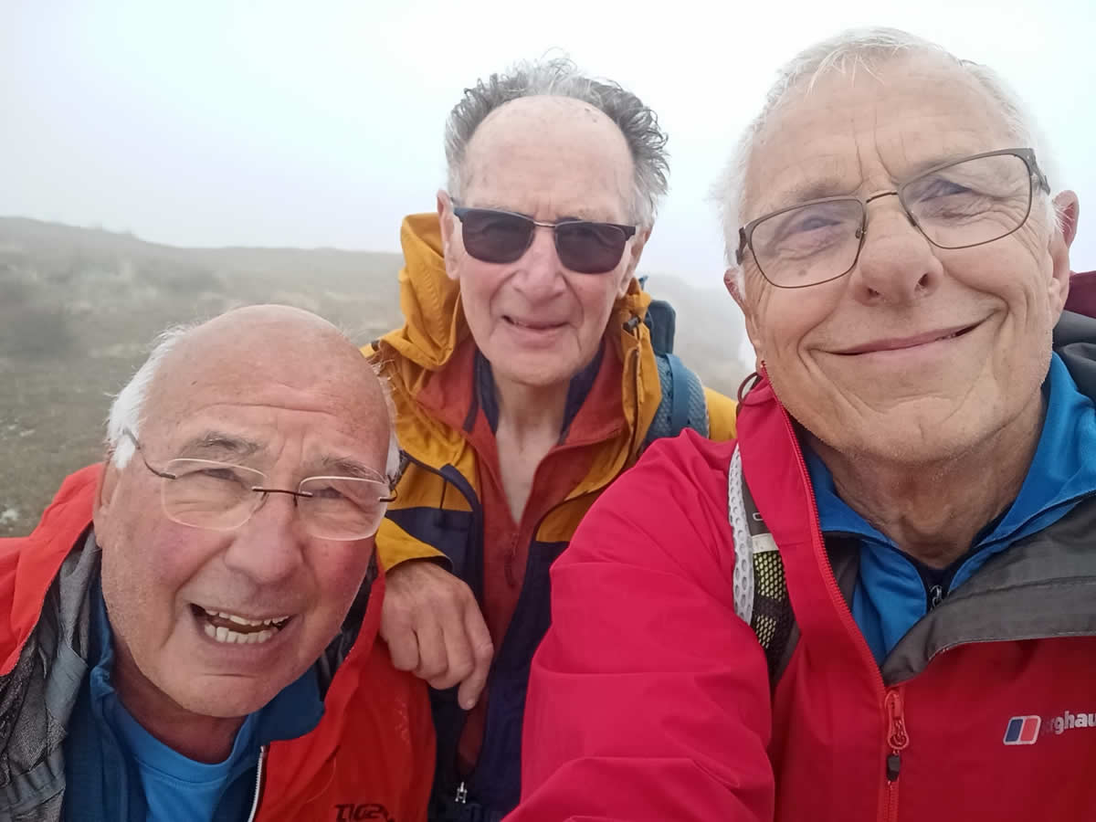
Thanks for your company Mike and Ian, great day.
Photo Gallery
Click the buttons to select photo size.