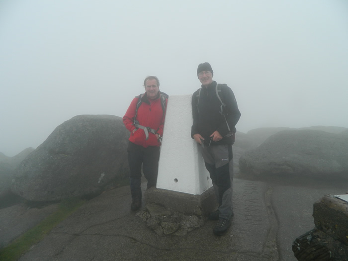
Goatfell(874m)
Sunday 9th September 2012
11kms
5hrs 30mins
Goatfell can be approached from a number of routes, and we opted for a good circular one, from the village of Corrie, via Meall Breac and returning over North Goatfell and down Coire Lan.
We left the village on a good tarmac track which heads uphill to a disused quarry and underground water storage/pumping facilities. Just as the track starts to descend to the Corrie Burn, we turned off onto a narrow path which heads through a lightly wooded area between two heavily forested areas, and climbs uphill on a well maintained stony path, before passing through a gate and onto open hillside.
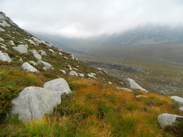
The path, a little wider now, continues to climb on the north side of the Corrie Burn before it levels slightly, at which point the path splits. Ahead, it continued into Corrie Lan, which would be our return route, and to the south, it dips down to cross the Corrie Burn.
We turned south, crossed the burn and climb the lower slopes before turning west as the path rose more steeply onto the ridge and the summit of Meall Breac. At this point, we were starting to become engulfed in a heavy, misty rain, which reduced visibility considerably, just as it had on yesterdays walk.
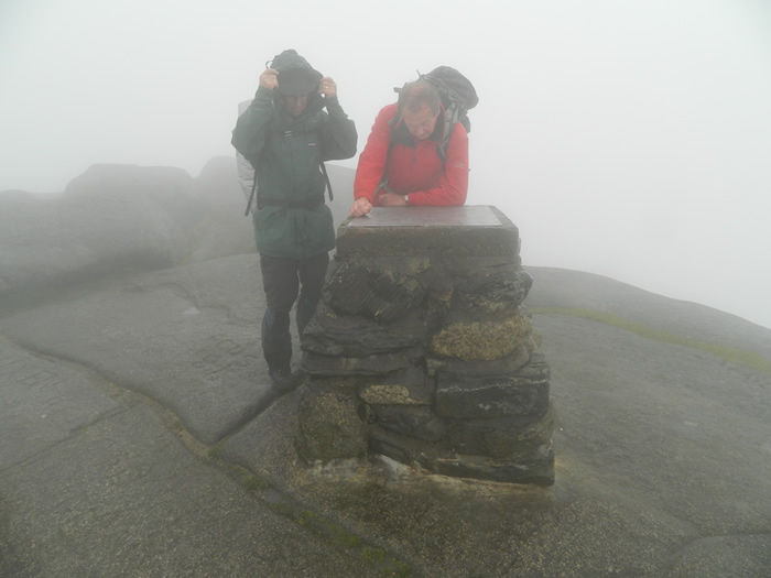
Around the 650m height, the Meall Breac path joins up with the "tourist" path from Cladach, although I must admit, I didn't notice the junction, possibly because I was concentrating more on picking my way around some fairly large rocks and boulders around which the path twists and turns as it makes it relentless climb to the summit, which in the limited visibility, we did not see until we literally stepped onto the slabs and there was the trig point and viewing plaque directly in front of us.
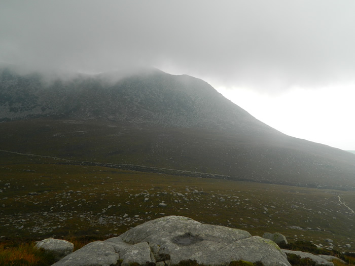
We stayed on the summit only long enough to have a quick snack, as the wind was beginning to pick up and we wanted to move on quickly. A quick check of the map and it was due north over some very large boulders which required a great deal of care in negotiating over, round and down. North of the summit of Goatfell lies the Stacach, four pillars of large rock boulders, which in good weather present an enjoyable scramble, but in today's rain, strong wind, and extremely poor visibility we decided to bypass using the lower, narrow, and at times exposed paths around the base of each stack.
We were heading for the path junction to the north of North Goatfell, where the path splits, heading northwest to the saddle, and northeast to our drop-off point into Coire Lan. We by-passed the top of North Goatfell to the east and continued to contour around the 760m contour on the path towards Mullach Buidhe. We continued along the path, until suddenly stopping, realising that we were starting to climb again, not what we should be doing if we were to find our drop-off point. A quick check of maps and GPS confirmed that we had indeed gone some 400 metres beyond our drop-off point.
Maps checked, new compass bearing set, and it was counting steps as we re-traced our steps back, and sure enough, 350 steps later, there is the cairn and our drop-off point, missed entirely as we passed it earlier in thick mist and a distractingly strong wind. We dropped-off still on compass bearings aiming to hit the path we knew run high up into Coire Lan, but did not quite reach the bealach from which we were departing.
The descent was without difficulty, over grassy slopes, and we soon picked up the path, just at the head water of Corrie Burn, and were soon on the broad, maintained path leading back down Coire Lan towards the point where we had earlier crossed the Corrie Burn on our outbound leg.
There was no reason to stroll along this path, the cloud base was even lower than it had been earlier in the day, and the rain was threatening to catch up with us, so it was a fairly steady pace back to Corrie village and the car.
A quick change into something more suitable for our ferry trip, and it was back to Lochranza to pick up Lindsay, then Brodick and the ferry back to the mainland. A great weekend, despite the weather, and I certainly think a return visit to the rocks of Goatfell would be well worth it, given good weather, if that is possible!
Goatfell - Photo Gallery
Click any photo to activate large screen photo gallery