Beinn Tarsuinn(826m)
Saturday 8th September 2012
16kms
8hrs
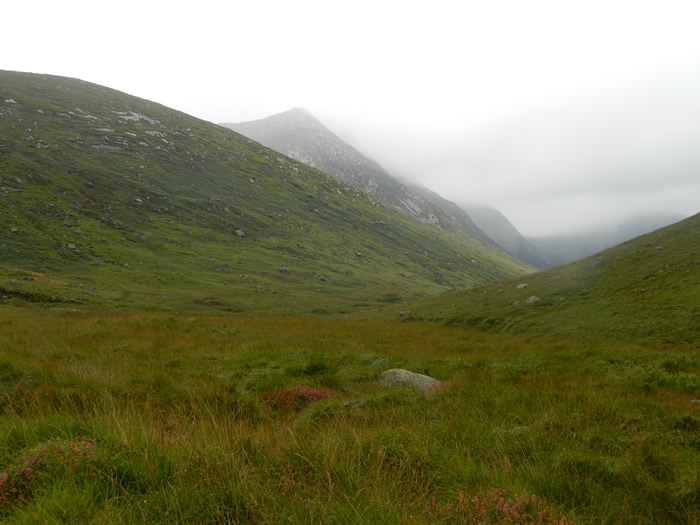
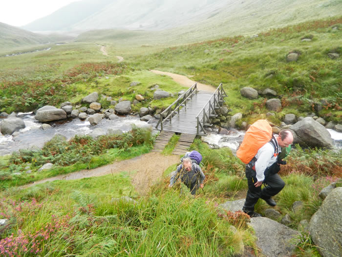
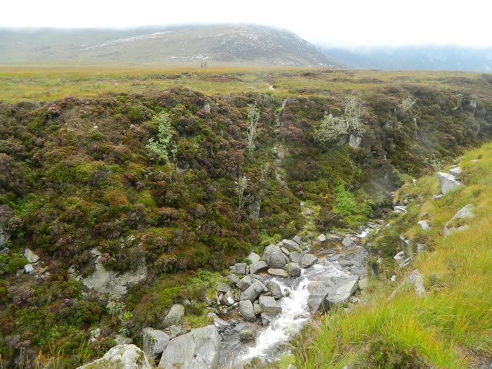
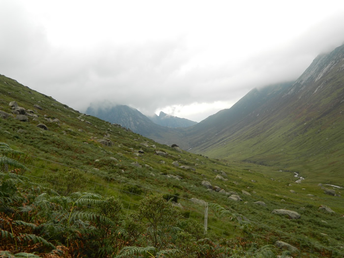
We parked up at the Glen Rosa campsite and met up with Jim who had pitched his tent on the site, and set off along the good track heading further along the glen towards the footbridge which crossed the Garbh Allt at the point where it joins Glenrosa Water. Immediately after crossing the bridge, we left the main track to take the narrow, rocky and very boggy track which climbs steeply uphill alongside the Garbh Allt, passing through two gates until eventually emerging on the open hillside south of Cnoc Breac.
This area was a virtual bog of grass tufts and moss which we picked our way across, heading in the general direction of the small top of Cnoc Breac where we eventually left the boggy ground behind - or so we thought. Cnoc Breac, aaahhh, we shouldn't be here, we were on the wrong ridge, as we had intended going via Beinn Nuis, the next ridge over. Never mind, easily rectified, head due west, drop down and cross the very boggy upper stretches of the Garbh Allt, ford the river, and regain the lost height and the correct path on the correct ridge south of Beinn Nuis. Done!
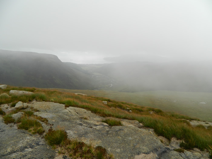
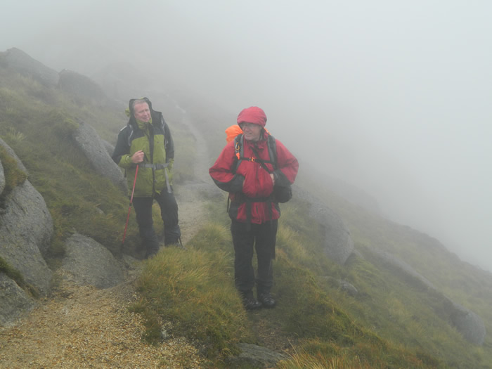
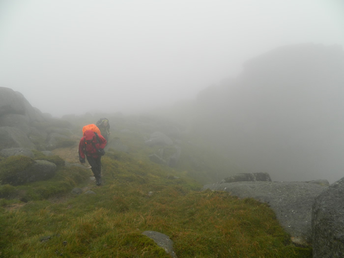
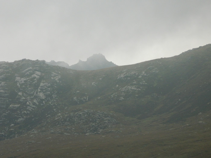
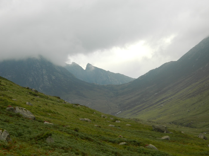
Back on track, and now heading into the murky, misty cloud base we climbed steadily up and over Beinn Nuis and onwards to the summit of Beinn Tarsuinn. The route was a mixture of large areas of rock and rock slabs, and narrow grassy paths but nothing which presented any problems, even in the limited visibility we were encountering.
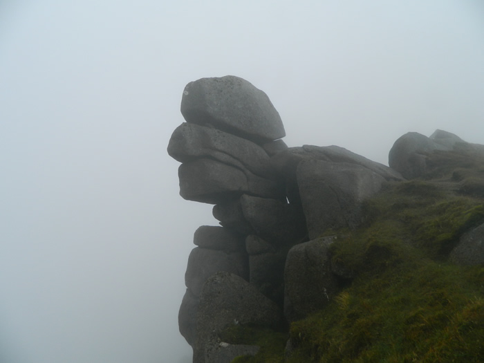
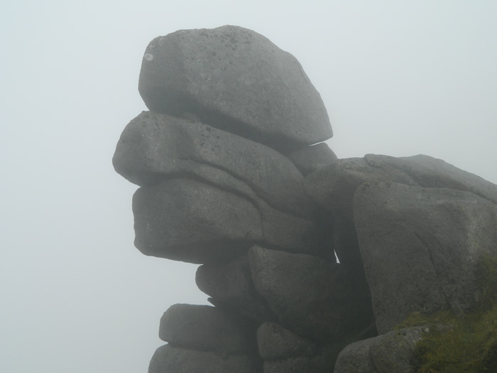
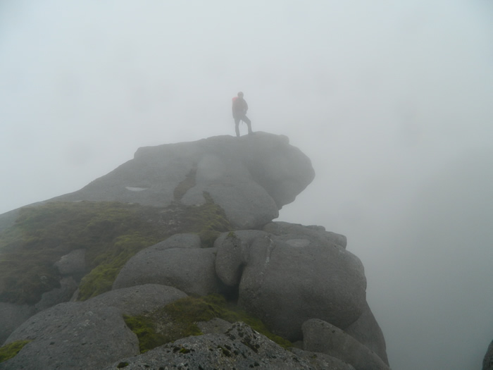
The summit of Beinn Tarsuinn is pretty non-de script, at least as far as we could see, maybe in clear weather it may look somewhat different. About the only point we could see was a large hanging rock which Jim quickly scaled and posed for the obligatory picture, I guess on a clear day this spot may require a good head for heights as even in the mist it looked a long way down of the edge!
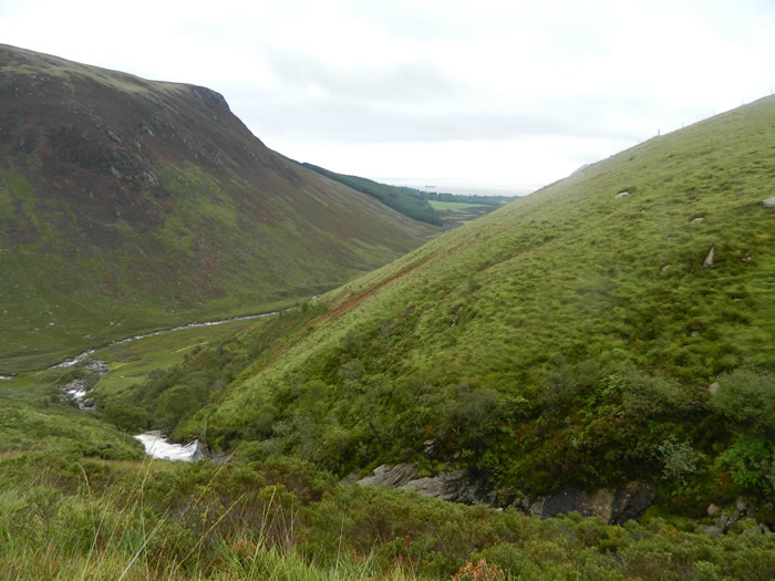
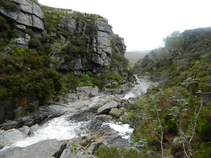
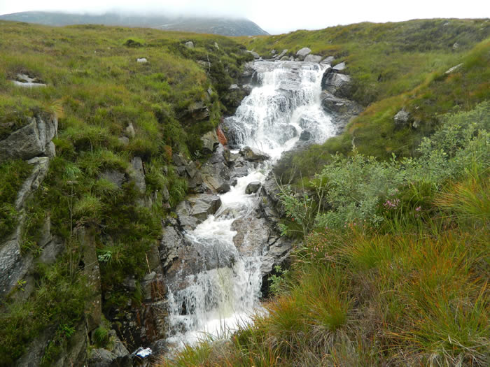
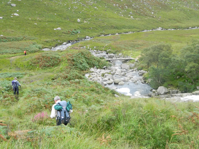
We found a reasonably sheltered spot under Jim's rock for lunch before setting off to retrace our steps back over Beinn Nuis, and this time sticking to the correct ridge and over the lower slopes towards to the steep gully down which we would need to scramble to cross the Garbh Allt before scrambling steeply up out of the gully to regain the track above the large waterfall that sits below the gully. (We had of course missed this gully on our uphill leg due to our unintended detour via Cnoc Breac.)
Shortly afterwards, we regained our outward route to descent alongside the Garbh Allt and back to the footbridge, at which point we met up with 3 other members who were returning from their walk along Glen Rosa, for the final leg back to the campsite at Glen Rosa.
Beinn Tarsuinn - Photo Gallery
Click any photo to activate large screen photo gallery