Beinn Eunaich(989m) & Meall Copagach(810m)
Saturday 15th September 2012
14kms
6hrs
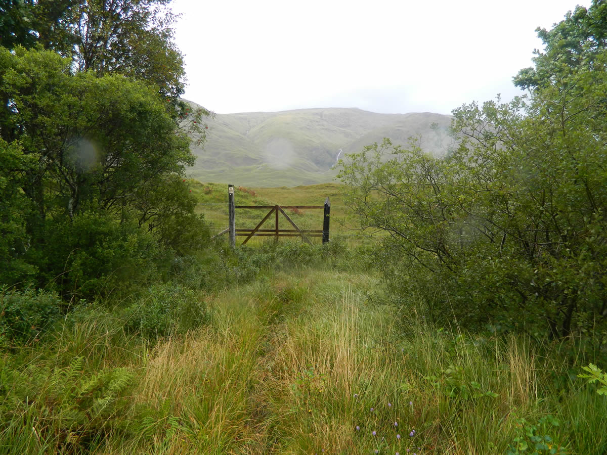
Shortly after entering Dalmally we turned right off the A85 and onto the Old Military Road (the B8077) and once over the bridge across the River Strae we turned right off the road and over the cattle grid to park in the grass parking area at the start of the estate track leading up into Glen Strae.
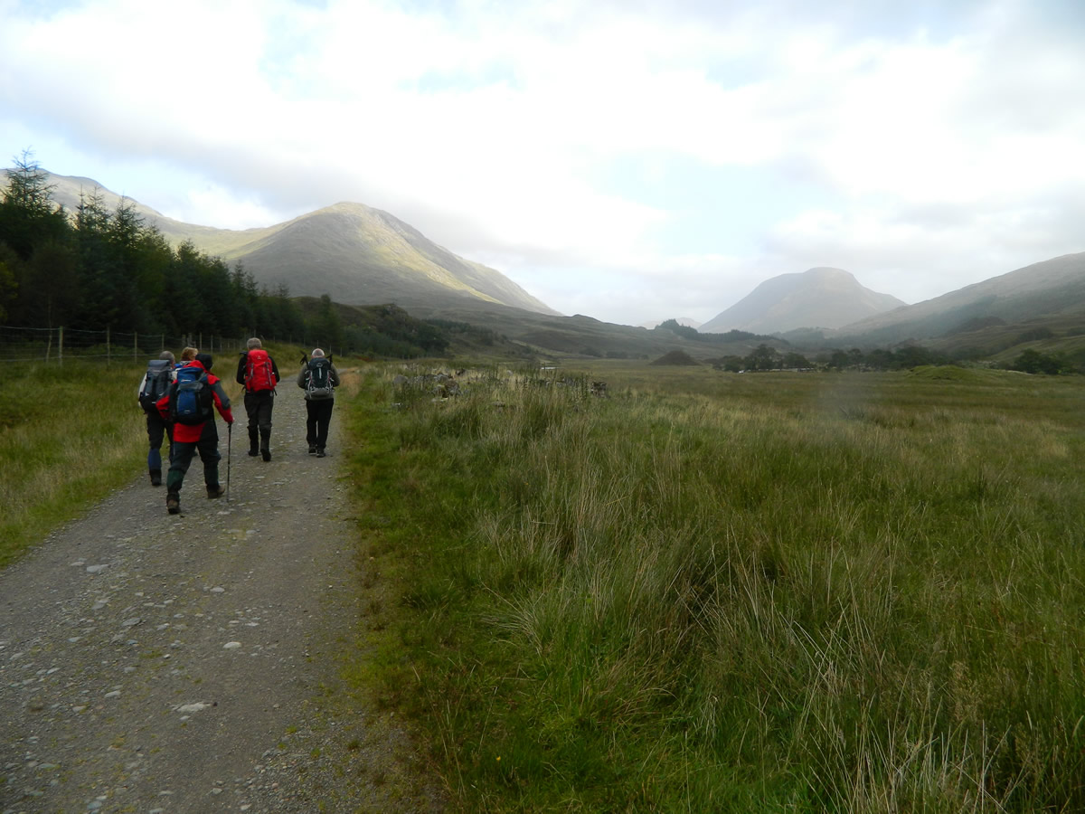
The initial section of our walk took us north-northeast from the car park along the estate track heading into Glen Strae which is flanked by enclosed woodlands on the left and the River Strae a short distance away to the right. Over this stretch, there were a scattering of small ponds containing a variety of ducks all of which seemed to voice their annoyance at us disturbing their peace as we passed by.
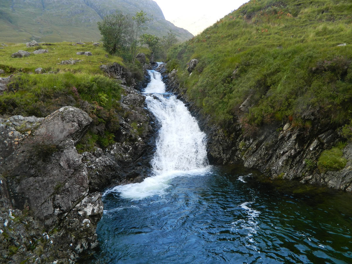
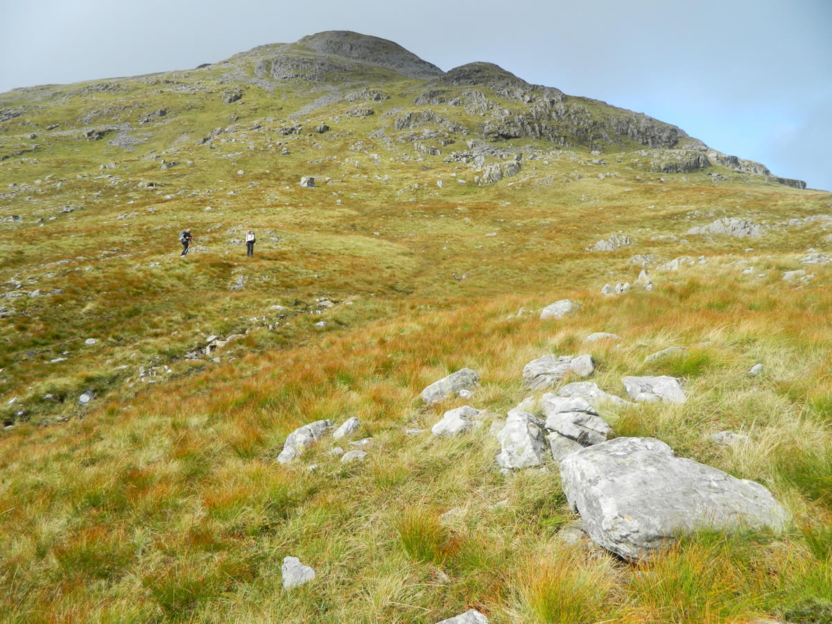
After approximately 2km, the track crosses a small bridge over the Allt Dhoirrean at the point where it merges with the River Strae. This is where we left the track and headed uphill alongside the Allt Dhoirrean for a few hundred metres before we picked up the faint and indistinct path which heads north, paralleling, but a short distance to the west of the Allt Dhoirrean. This path gradually gains height and heads directly towards the bealach at Lairig Dhoireann. (Note: the two spellings of Dhoirrean and Dhoireann are not typo errors, but are the spellings as per the OS Explorer mapping for the route which, I presume, may reflect the Gaelic grammar differentiation in water and land features.)
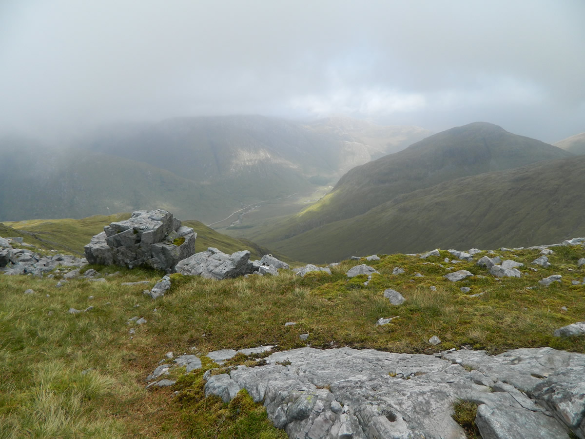
The weather as we approached the bealach was reasonably clear, and we had a good view of our route ahead and also, as we looked westwards and to our left, of the ridge we would later traverse from Meall Copagach to Beinn Eunaich. It was a different picture as we looked behind us, with dark heavy clouds hanging over Loch Awe, an omen of things to come no doubt.
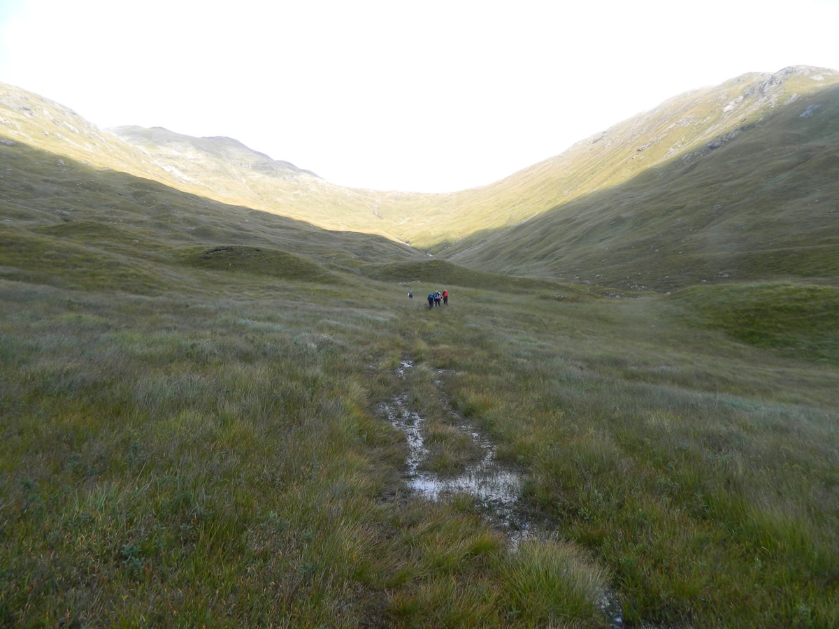
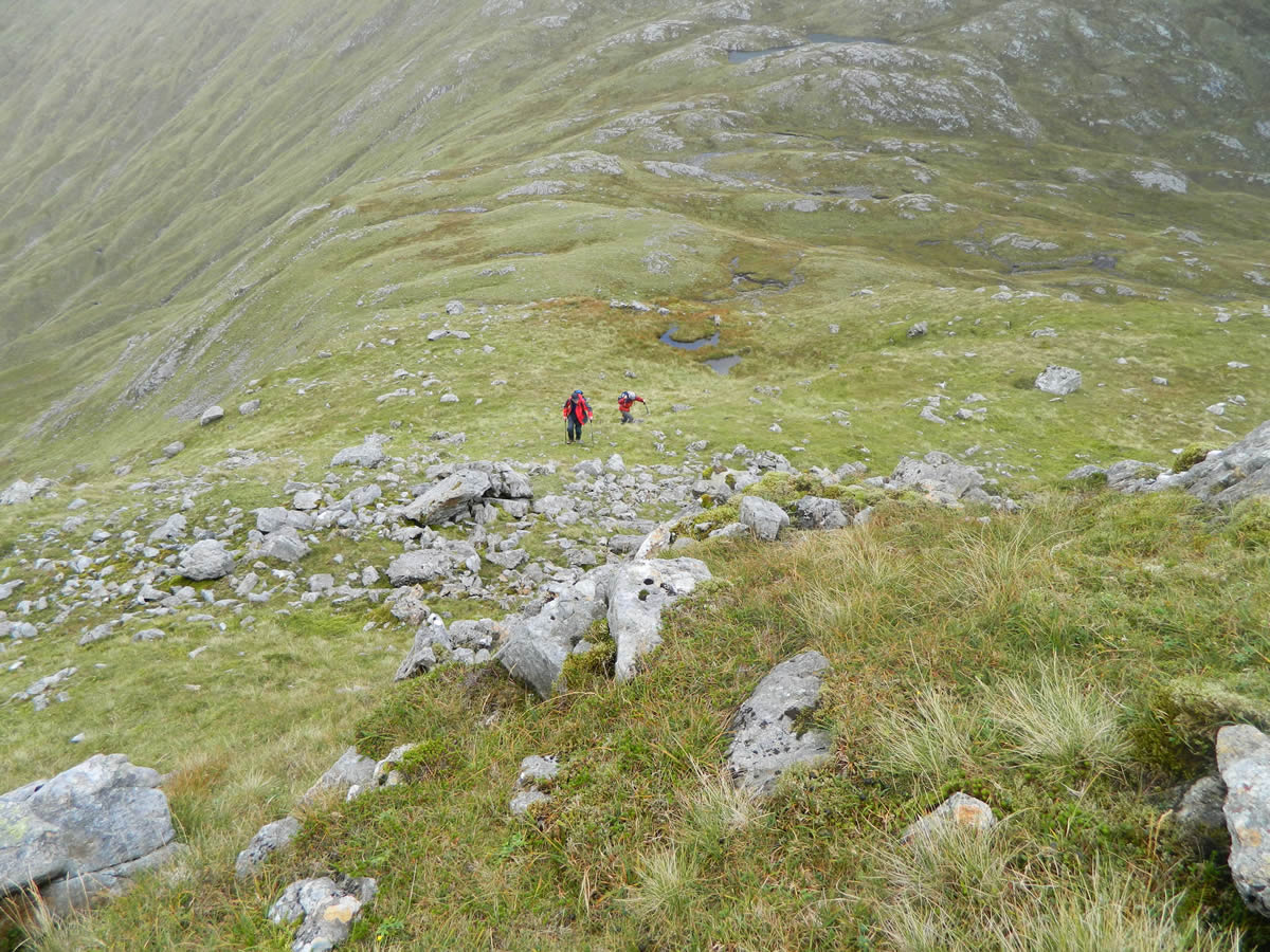
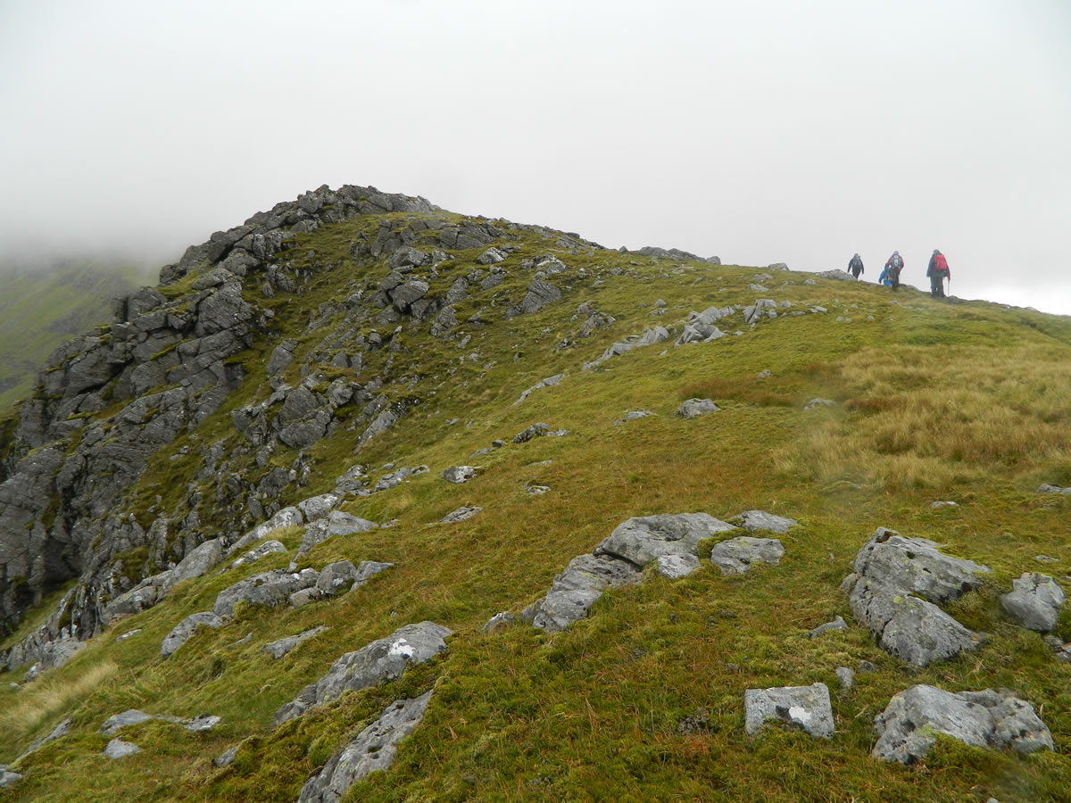
The final approach to the bealach Lairig Dhoireann is steep, with a number of small gullies and ridges from which to choose your route, and we found ourselves spread across three different small shoulders as we approached the bealach, before meeting up again once on the bealach, where the views northwards over Glen Kinglass and the hills beyond suddenly open up as you crest the ridge. What better a spot for a bite of lunch and to sit and admire the views, that is except to the south, where those clouds over Loch Awe were looking even more menacing.
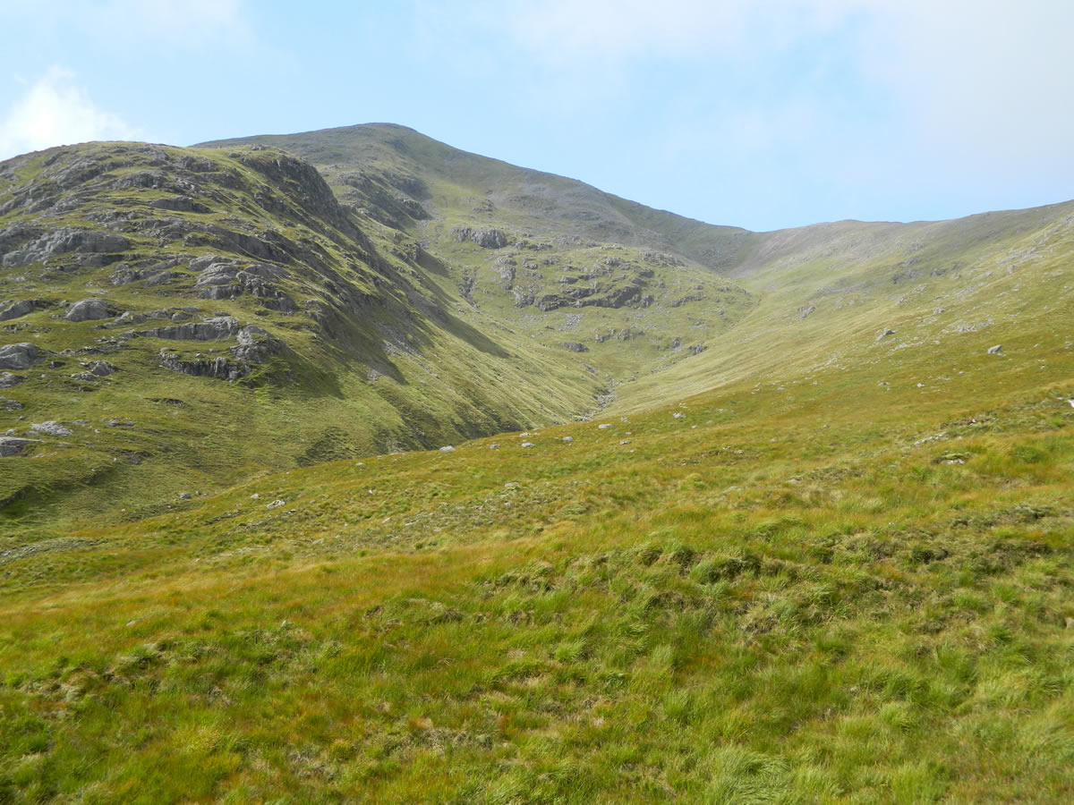
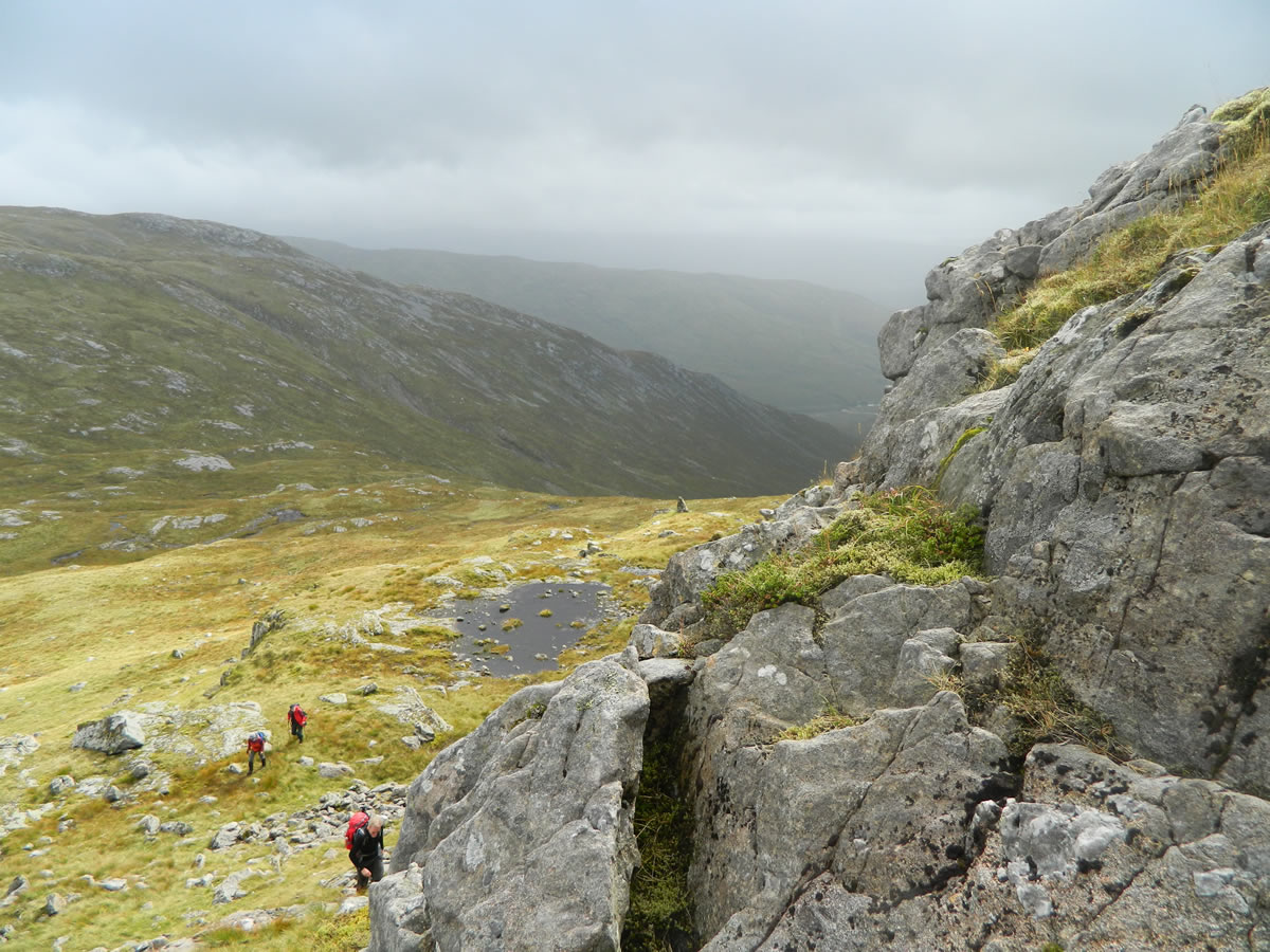
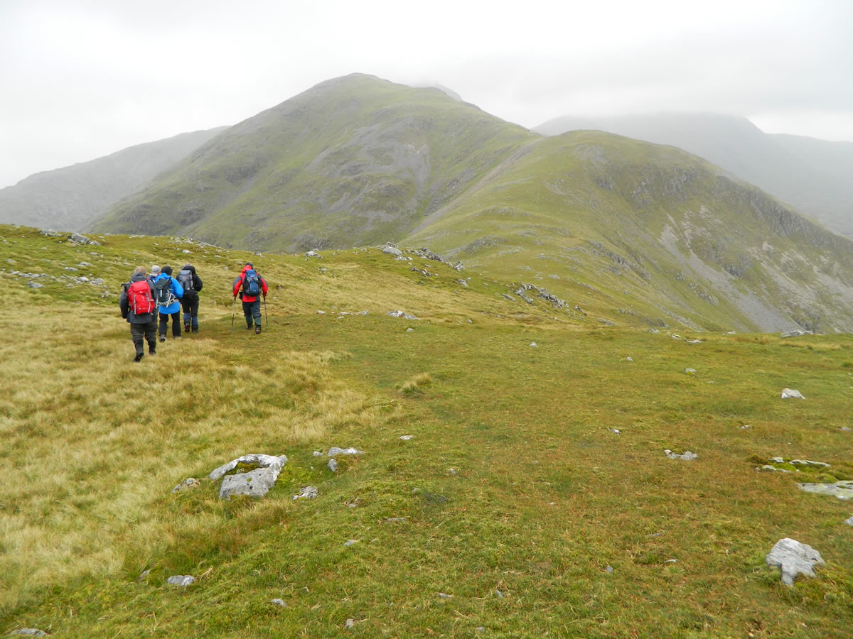
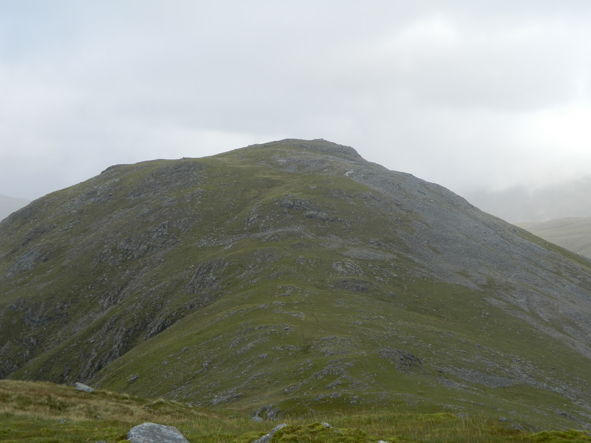
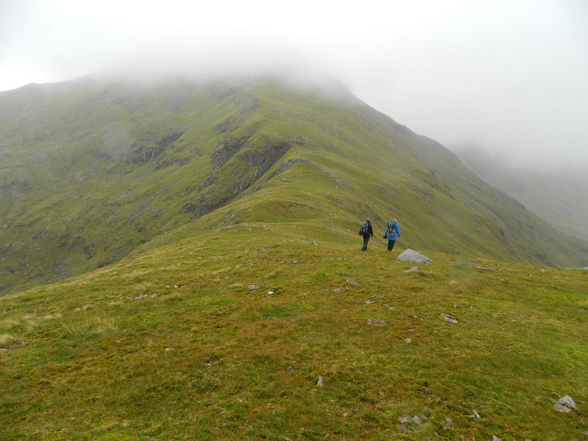
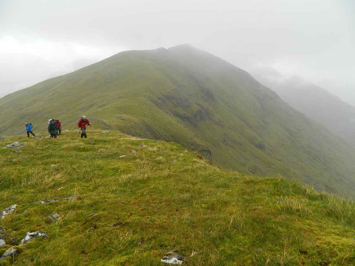
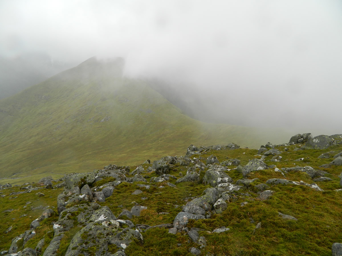
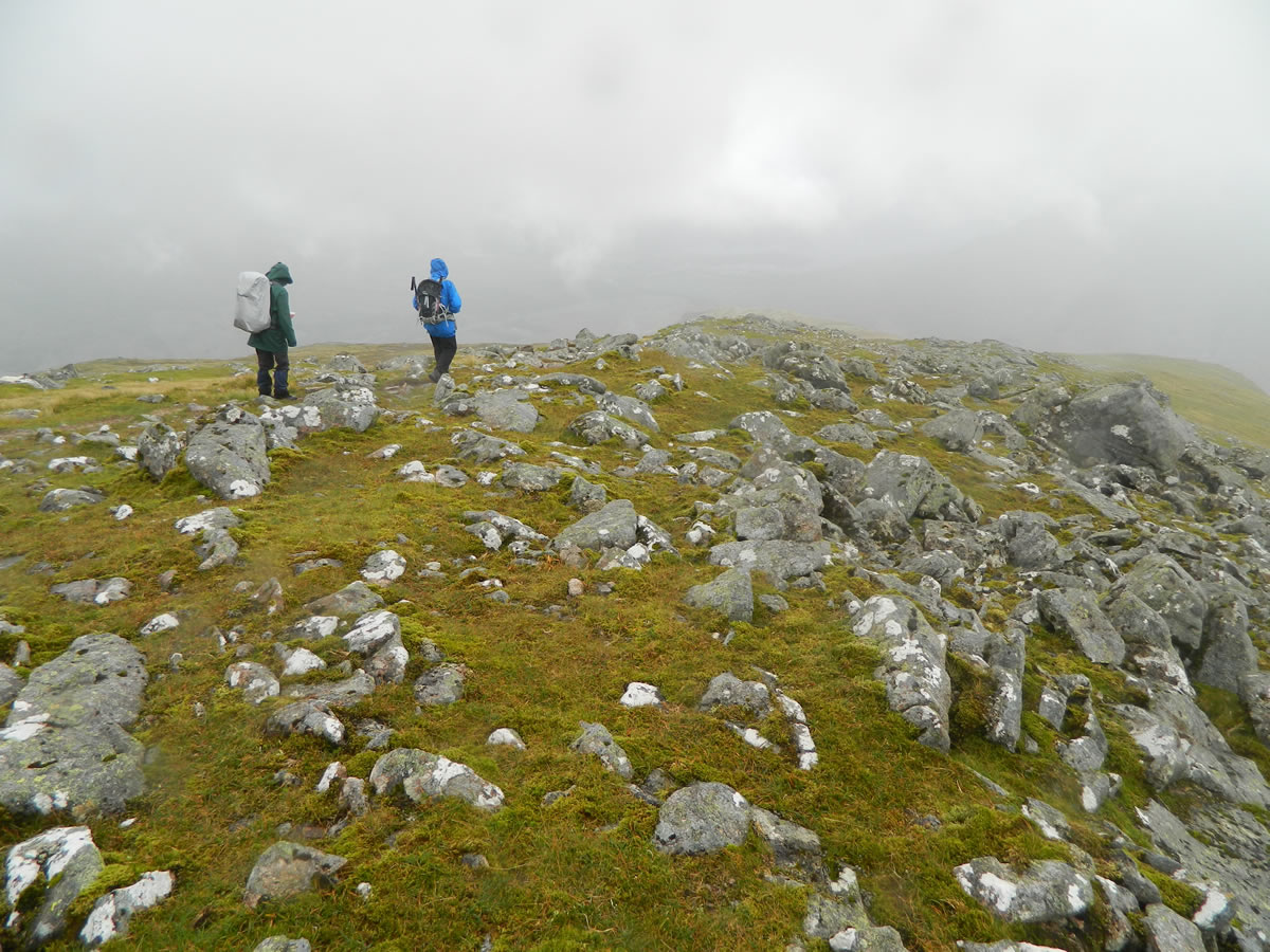
A short distance ahead of us was the summit of our first objective, the Corbett Top of Meall Copagach, with its mixture of large rocks and small crags to be negotiated before we finally reached the flat rock slabs defining the summit plateau. Ahead of us now was the long, but steep grassy ridge over which we would descend, ascend, descend and finally ascend again before reaching the summit of Beinn Eunaich.
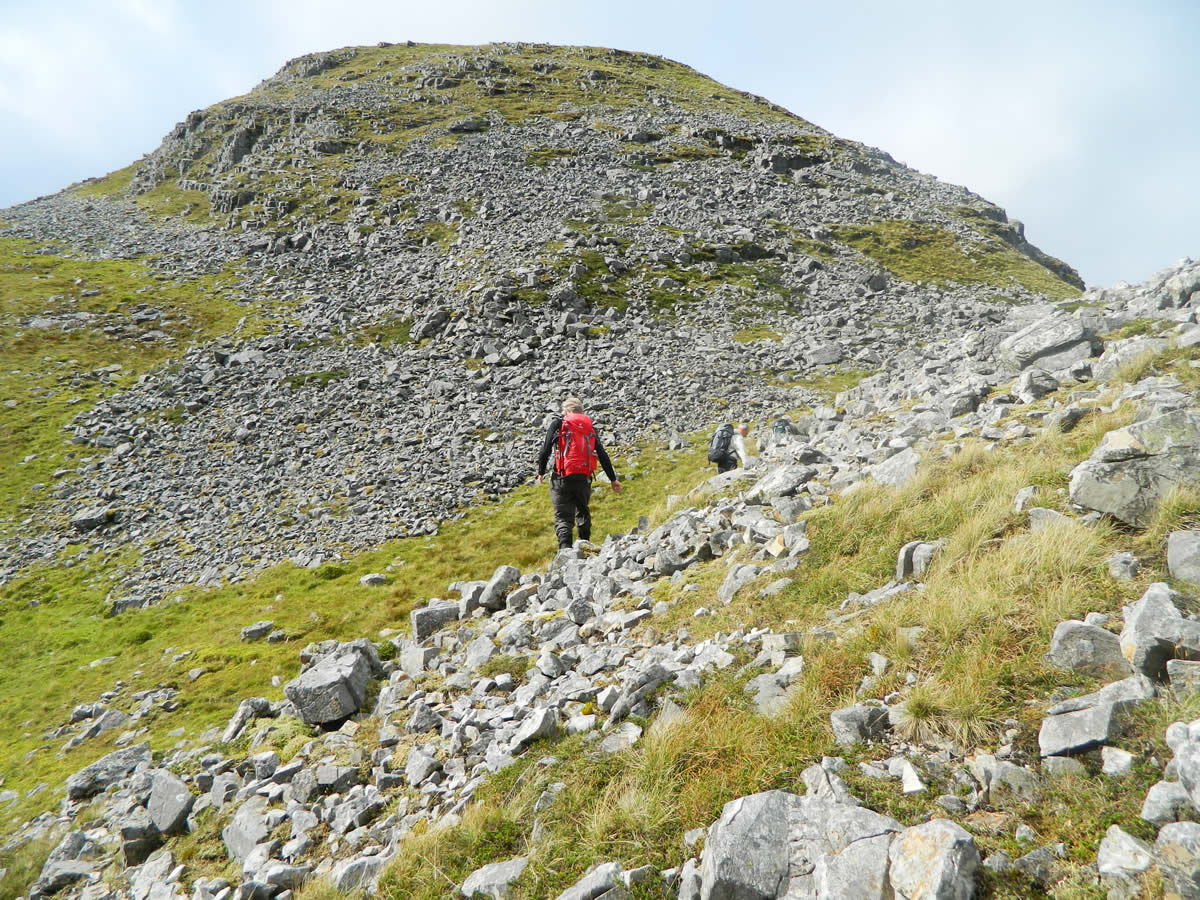
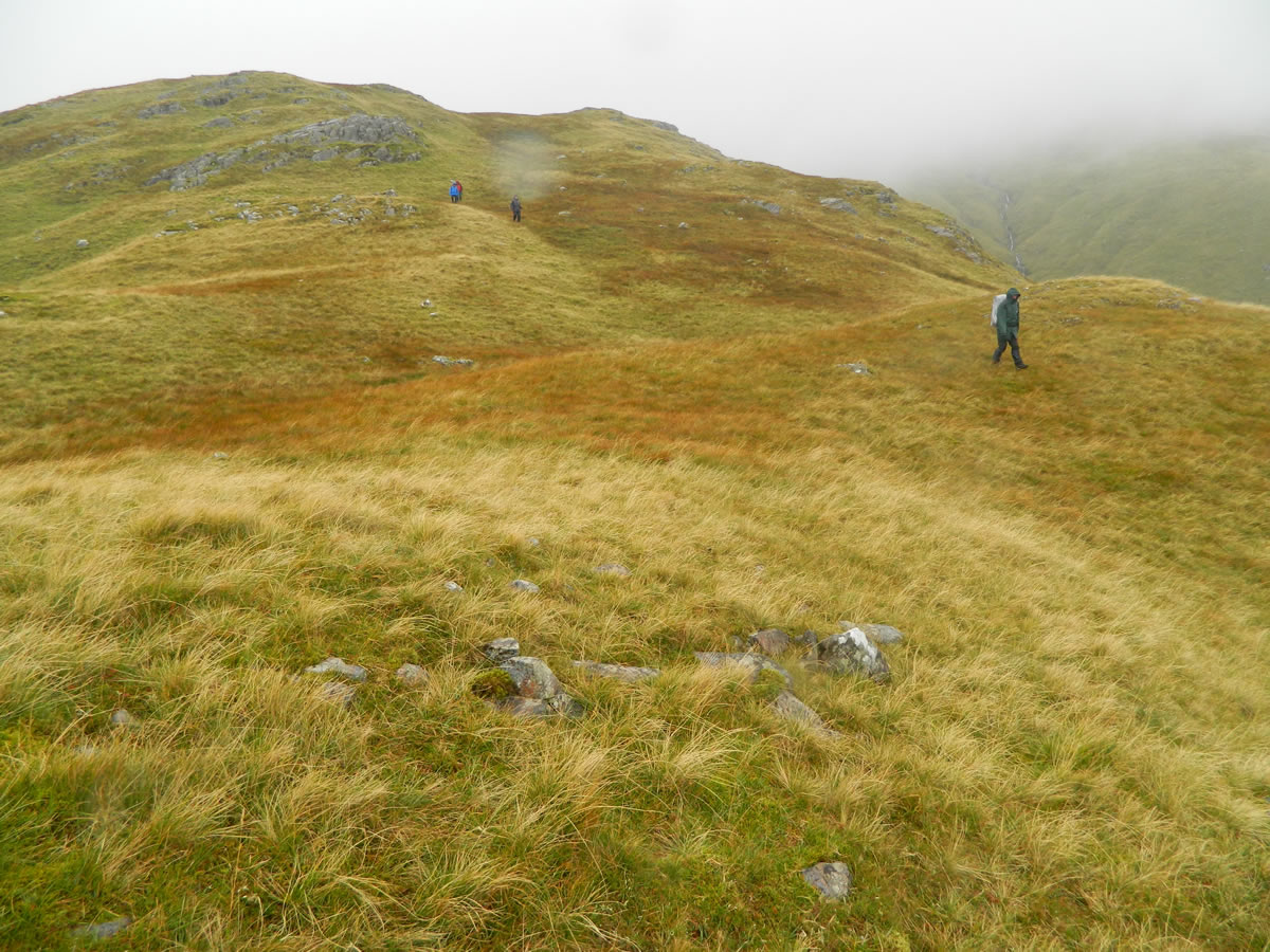
We departed the summit of Meall Copagach and descended to the ridge above Coire Raineach and then made the steady ascent to the un-named Corbett Top at 880m before descending again to the bealach below the northeast shoulder of Beinn Eunaich. By this time, and just on cue, we were entering the cloud base and it was starting to rain, those clouds from Loch Awe had suddenly caught up with us. The broad grassy ridge narrows and steepens considerably on the final stages before widening once again when the summit cairn is reached.
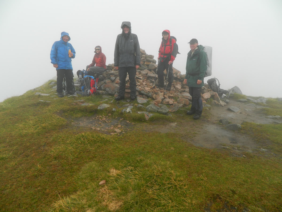
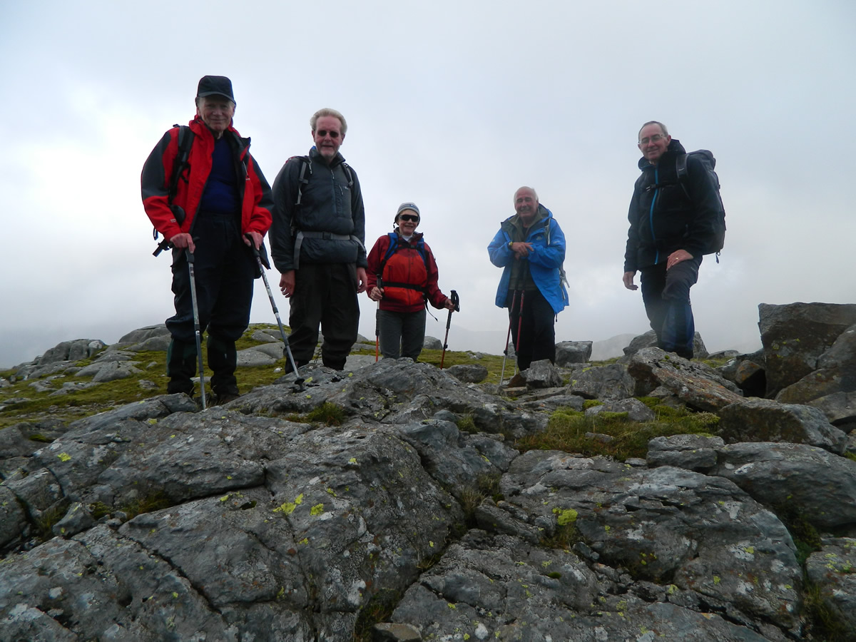
We stayed on the summit just long enough for the obligatory photo, a quick drink, and a check of the compass to ensure that, in the limited visibility we now had, we departed the summit on the correct bearing to descend towards Stob Maol, not wanting to find ourselves heading towards the other Munro, Beinn a'Chochuill, which sits further along the same ridge, but must remain until another day.
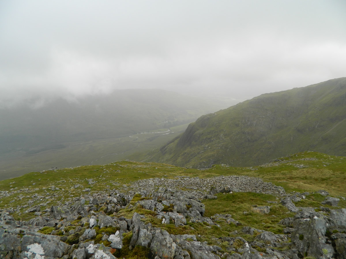
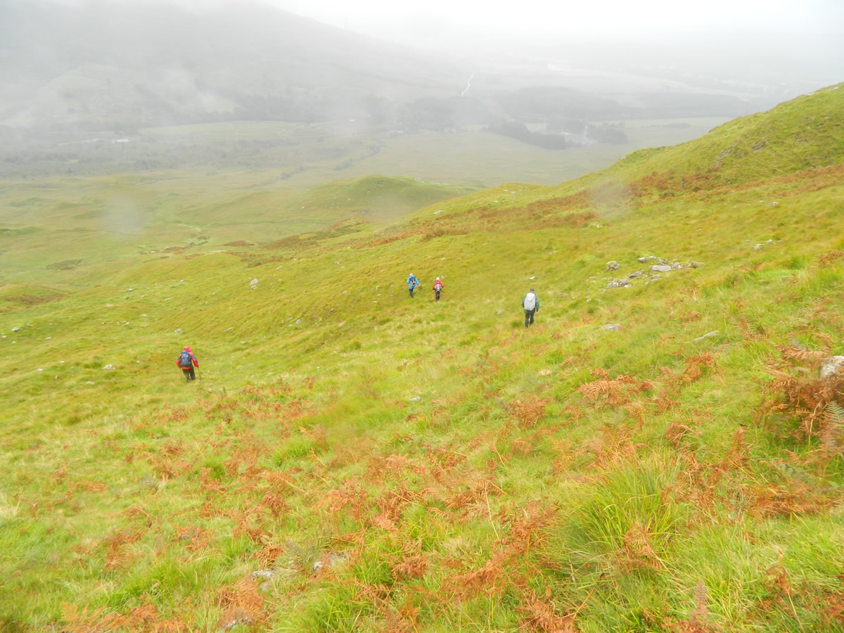
Soon after leaving the summit, the rocky path gives way to a grassy hillside, which gently descends the ridge and we were soon at the prominent nose that is Stob Maol. The regular route for descending from Stob Maol, is to drop southwest to pick up the track leading back to Castles Farm. However, as we were parked in Glen Strae, our route took us slightly east, before heading generally southeast and then south-southeast towards the Eas Eunaich burn and finally along its southern bank back towards the minor road and the car park.
This stretch was not without its moments, the initial descent from Stob Maol was very steep and required some considerable care on the wet ground, and then we had to negotiate a herd of some very large looking highland beasties before finally coming up against an eight foot high deer fence with no stile that we could see. Fortunately, we managed to find a gate, which with a bit of brute force we opened just wide enough to squeeze through and gain access to the road, and so back to the car park.
This walk was on the previous programme and was cancelled because of severe weather on the day - but it was well worth the wait, it was a circuit of a very beautiful glen and a wonderful grassy ridge. Even the weather was kind to us, at least it didn't rain all day, only for the later part of the walk. And our watering hole - The Green Welly at Tyndrum - a first for me - hardest part of the day was finding our way around the bollards in the car park.
Thanks Michael, a great day.
Beinn Eunaich & Meall Copagach - Photo Gallery
Click any photo to activate large screen photo gallery