The Brack(787m)
Sunday 16th May 2021
10kms
7hrs
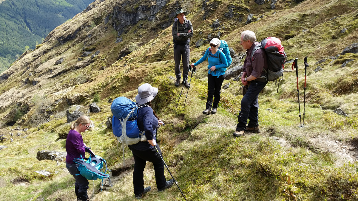
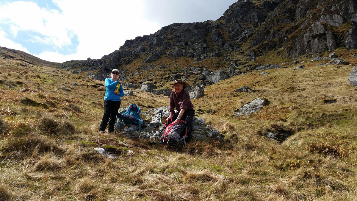
An improving weather situation for Sunday, saw me make a late decision on Saturday to join Alan & Co for a day on The Brack. A good call, as the weather was beautiful, sunshine and blue skies for the ascent, with just a darkening of cloud patterns for the descent, and warm enough for base layer walking, no need for extra warmth today. Although, I should say, that as I drove home from Arrochar I needed a few short flicks of the car wipers to fend off a few spots of intermittent rain that accompanied me through Tarbet. So, a big thank you to the weather gods for holding off with the waters until we were off the hill.
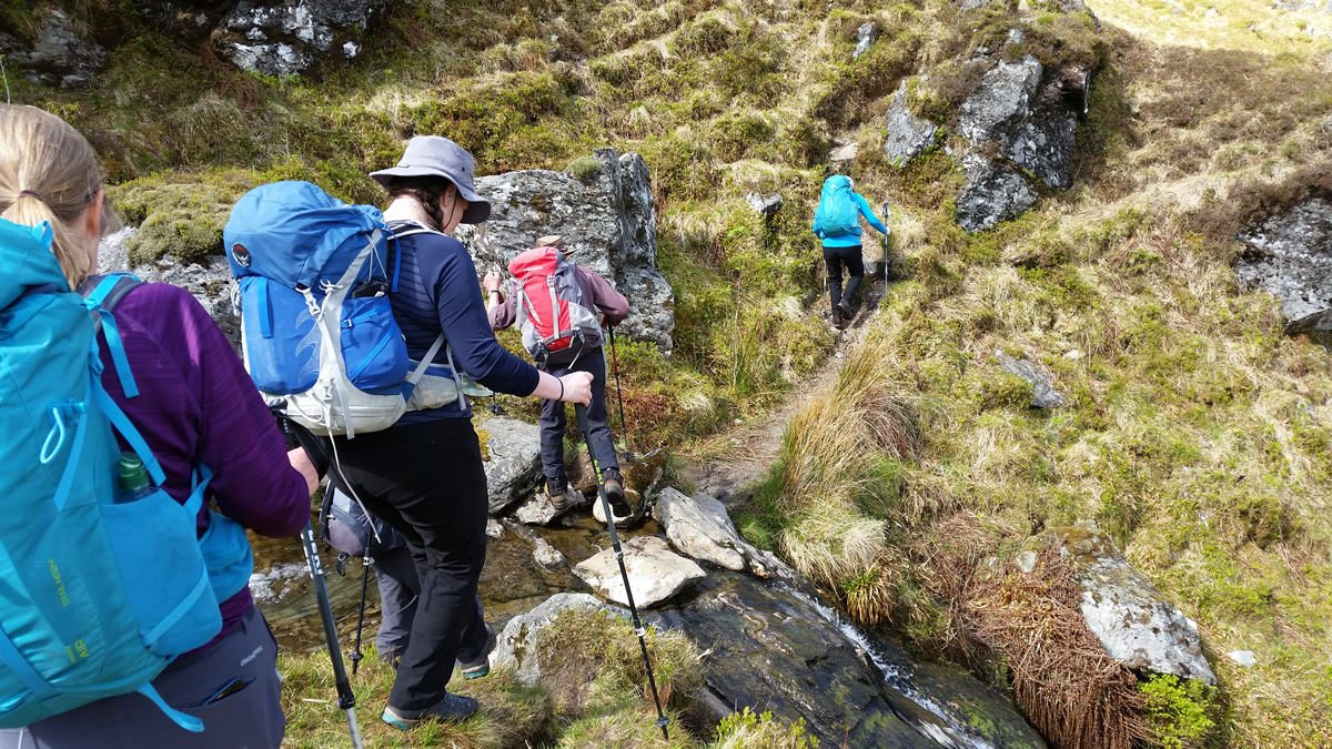
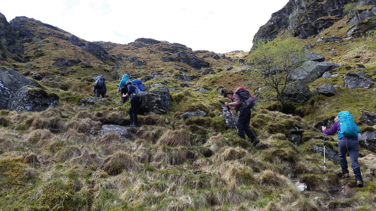
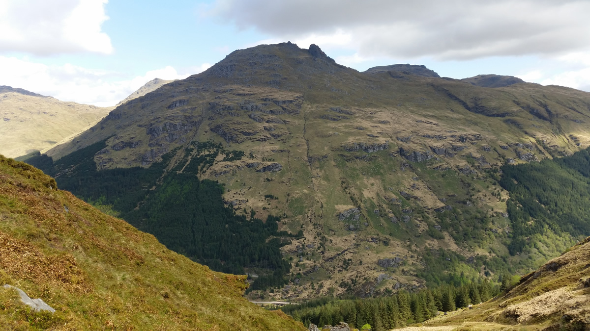
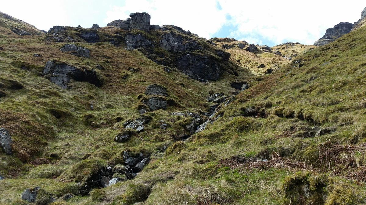
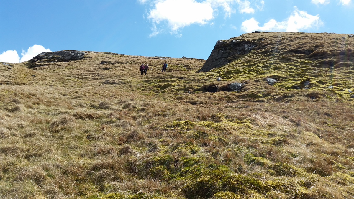
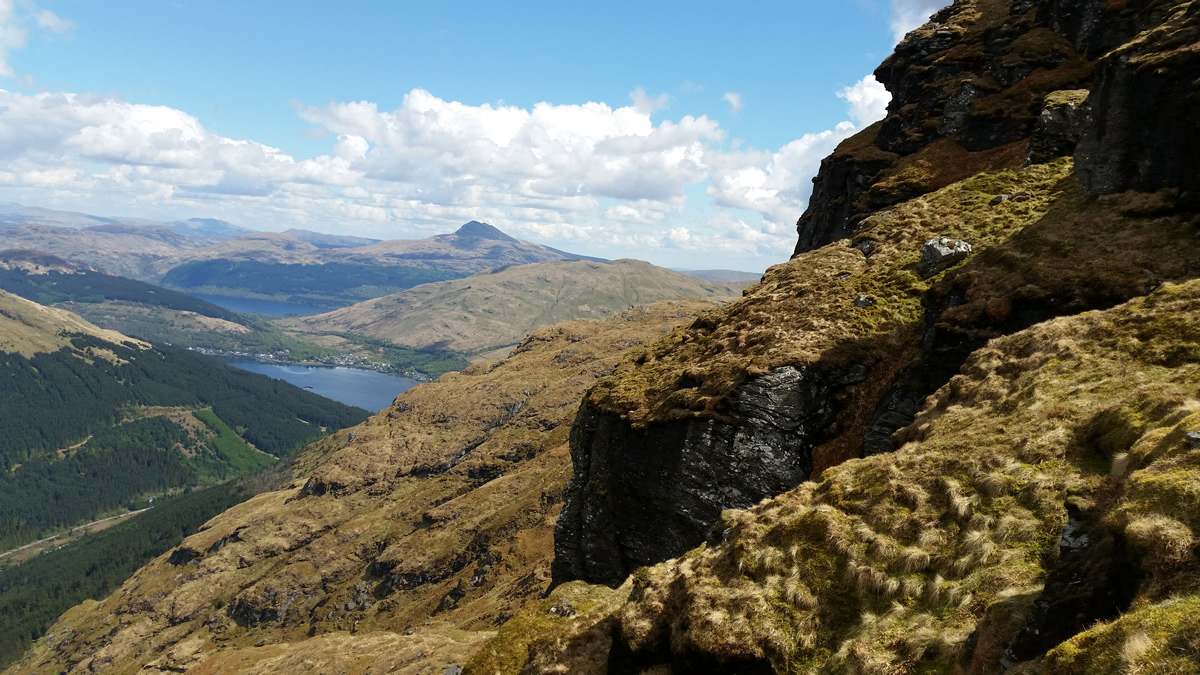
The Brack never fails to impress. It is overshadowed by its mightier and more popular companions which make up the Arrochar Alps, yet I always feel you are more "in the mountains" as the ascent progresses. Once you have left the main forest track, and climbed the narrow, steep, and very rough path up through the forest and onto the open hillside the true aspect of this mountain is there for all to see. Ahead, at first, it lookes a daunting task, with steep crags and rocky gullies lining the north face of the mountain, it looks more akin to the habitat of the mountain climber, as opposed to the mountain walker. However, take your gaze away from the rocky wall, and there, running just to the east of the crags is the route ahead. It is still steep, rough, and will tax the lungs and legs, but, there will be no need to put hand to rock, this is the mountain walkers way ahead.
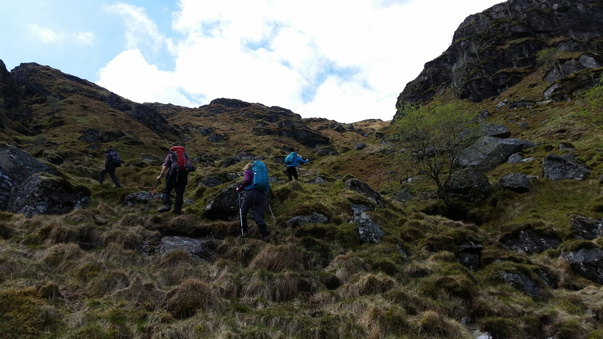
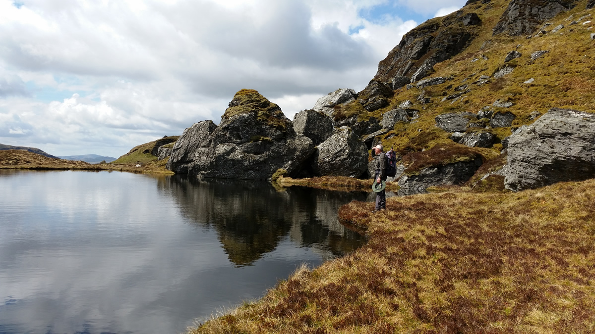
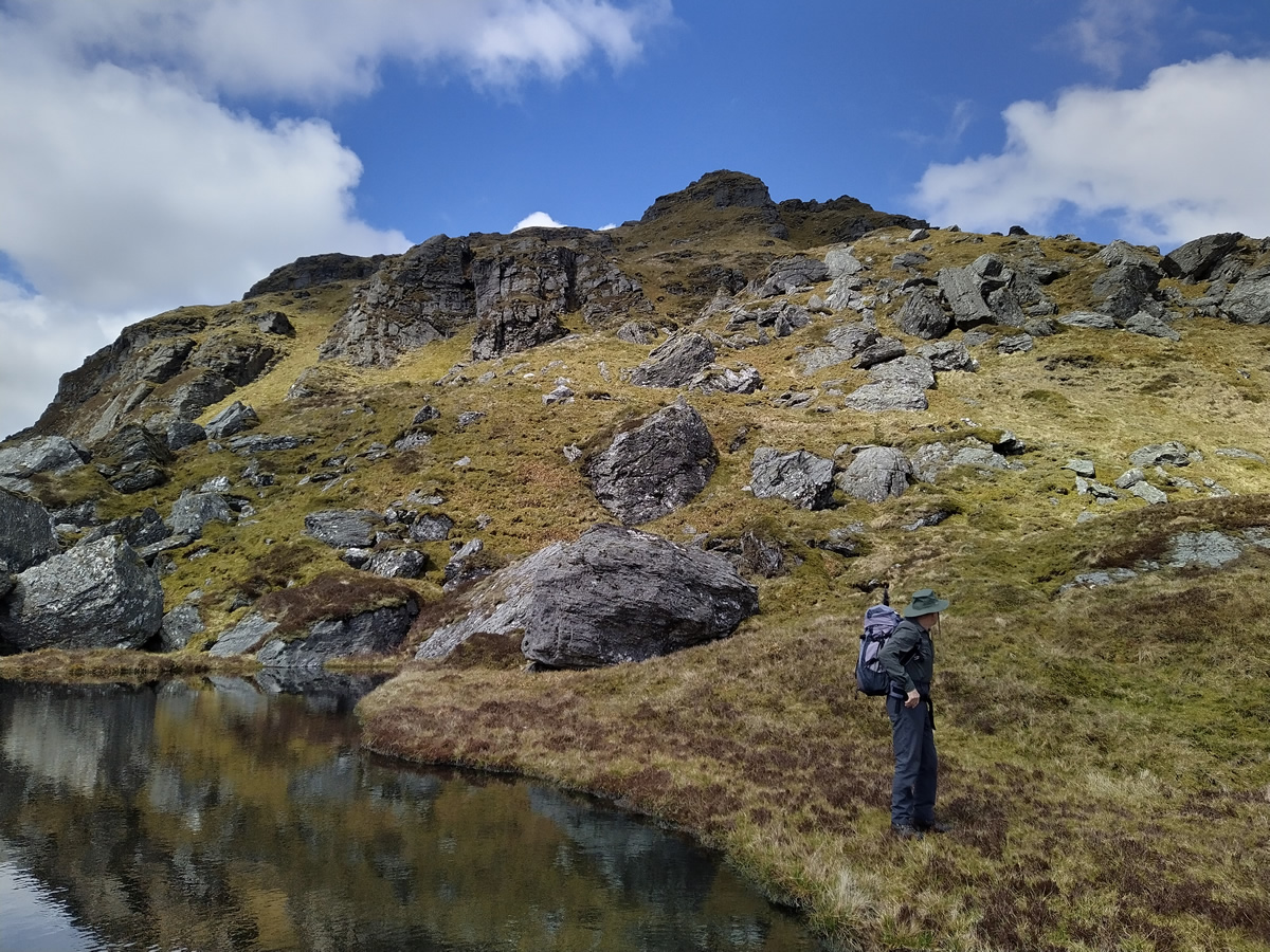
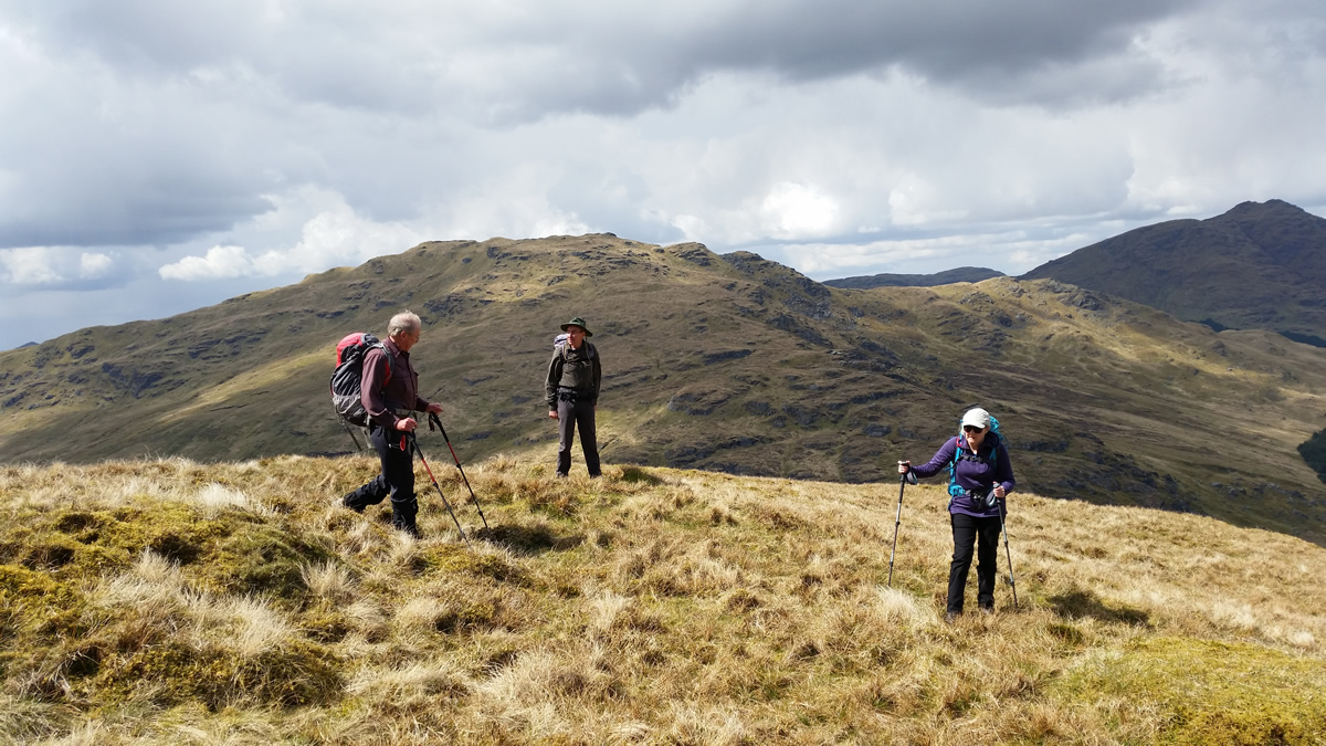
Shortly after leaving the forest boundary, the path crosses a burn, and continues to climb just above the burn flanked on the right by the crags of the north face of The Brack, and on the left, by the lesser crags and rocky outcrops of the minor top or Cruach Fhairach which lies directly east of The Brack. As you gain height, and cross the 550m height, the view ahead changes, and, thankfully, the gradient eases somewhat. There are still steep rocky slopes to the right, but ahead now, the rock gives way to a broad grassy slope, the top of which draws a distinct line across the horizon, beyond which only sky appears; that is until you take the final few steps over the crest and are presented with the sparking waters of the beautiful little lochan which lies directly under a rocky outcrop and offers the perfect spot for a relaxing break from the climb up, and to refresh the legs before the final short, sharp climb to the summit of The Brack.
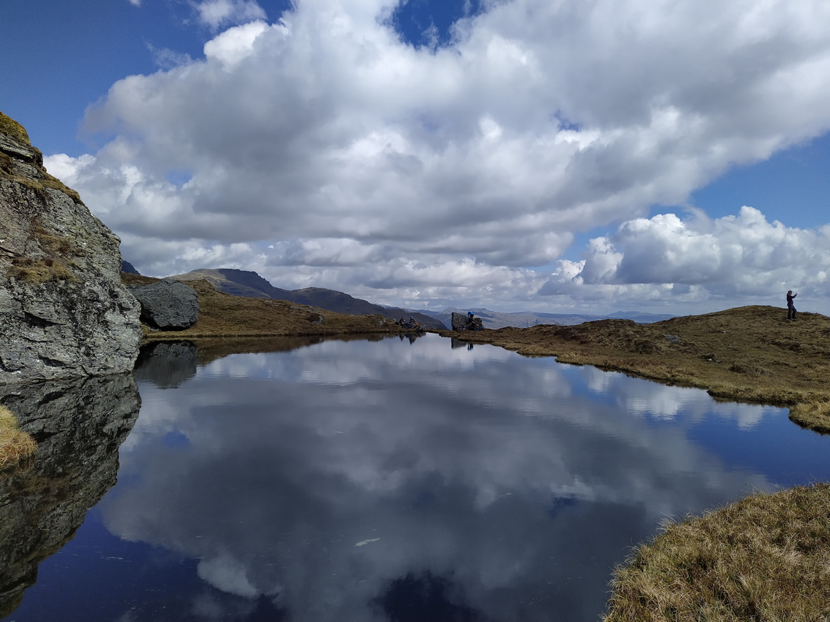
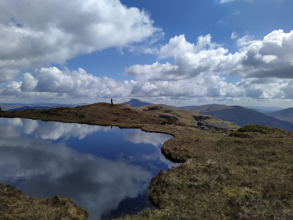
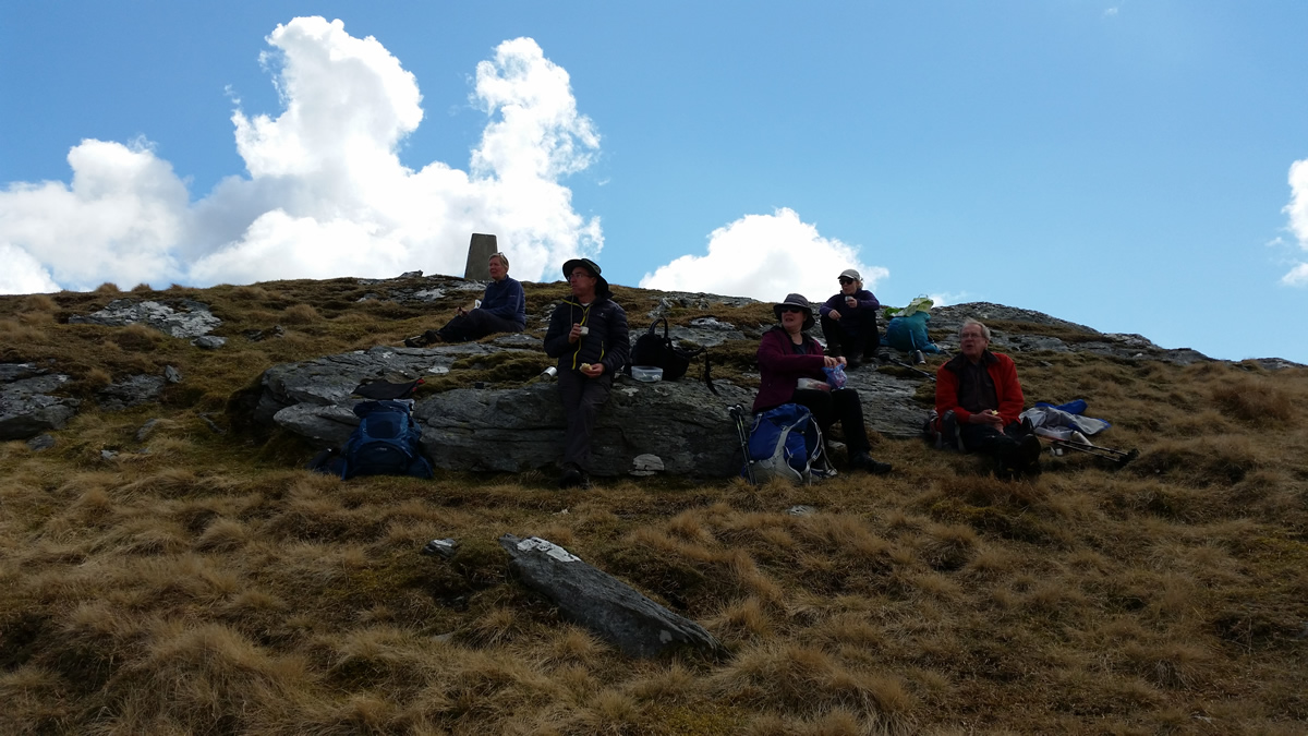
Once again, there is an initial doubt as to the ease of the route ahead. As you rest by the lochan and look west up to where the summit looms, you are presented with an array of crags and rock faces; but, as before, there is a means of circumventing the crags; as again you take to a narrow path which winds its way up, between and around any major crag or outcrop until, just as with the sudden spectable of the lochan, you take a few final steps to arise from a grassy rake to a fine summit Trig Point only a metre or two in front of you, the result of a hard, but very rewarding climb, the views are spectacular.
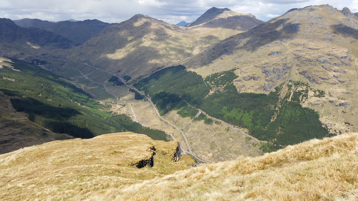
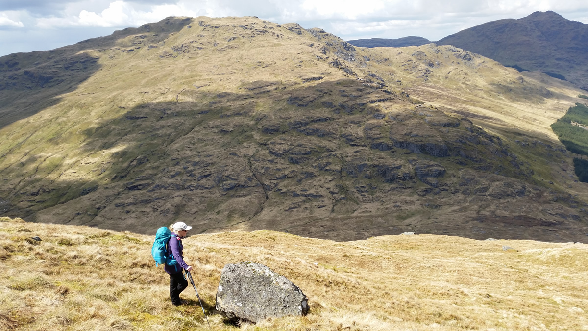
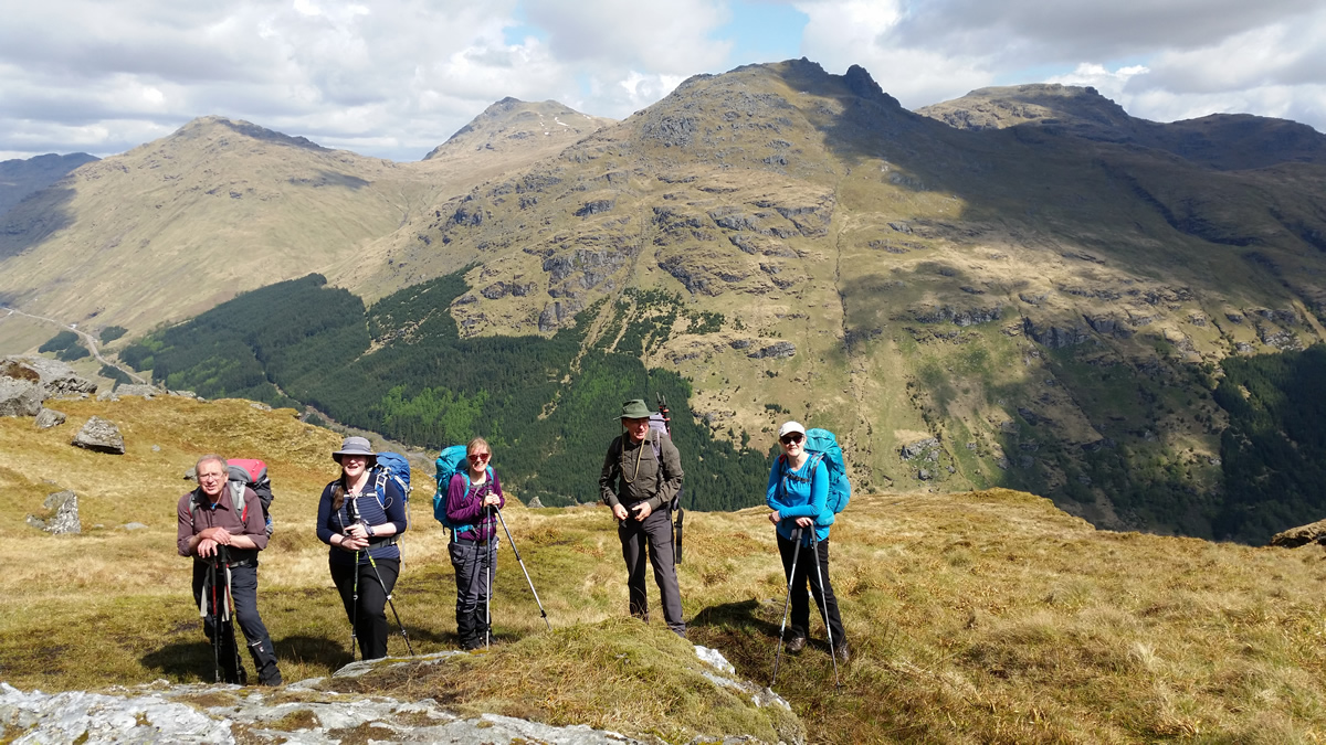
Prior to my last visit to The Brack, almost 1 year ago, in July 2020, we usually made a short southwest track off the summit, before swinging on a more north westerly heading to descend one of the grassy western slopes to Bealach Dubh-lic. However, last year, we, that was Alan, Lawrie and myself, decided to head directly north from the summit to pick up the northern most grassy ridge down to the bealach, and agreed, that it was a slightly steadier, and certainly a drier and more direct descent than the previous alternative. And so today, we left the summit heading north, and this time continuing slightly further north still until we had a view over those huge crags originaly viewed on our exit from the forest. And they are as impressive as their names suggest, Great Central Groove and Elephant Gully, most definately recommended as a viewpoint, but maybe only on a clear day, and maybe not in winter conditions! Also, it is worth noting, that as you descend north north west on fine grassy slopes, with views back over the crags, as you approach the 600m height, a set of crags rise from the face, and actually cross the crest of the ridgeline, these are shown on the map, and they truly bar the way ahead, necessitating us making a slight detour back uphill a short distance until we found a "reasonably" easy section to make a short, steep drop to regain the grassier area below this line of crags; the lesson being, this is a fine descent, but turn left a little earlier than we did!
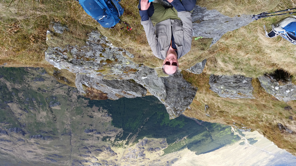
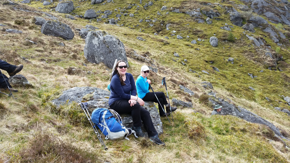
Adventure over, we sauntered on down to the small knoll just beyond Bealach Dubh-lic, which has become a favourite stopping point for "afternoon tea", before the final short walk through the forest to regain the main forest track, for the not so short walk back to Ardgartenl
Another fantastic day on the beautiful mountain. Thanks everyone for your company.
The Brack - Photo Gallery
Click any photo to activate large screen photo gallery