Beinn Bhreac(681m) - Glen Douglas
Tuesday 11th May 2021
6kms
4hrs 30mins
Less than one week on from a great day on Tullich Hill, we find ourselves returning to Glen Douglas for an outing to Tullich Hill’s immediate neighbour, Beinn Bhreac. Another fine grassy hill, but once again, a little hill which requires a degree of effort to overcome a few steep points along the way.
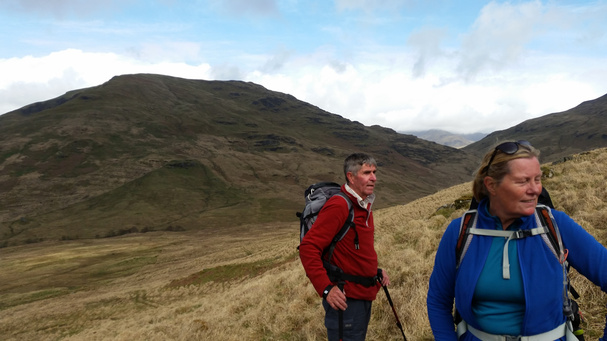
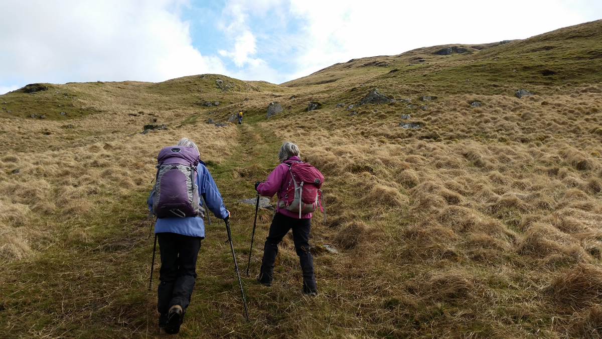
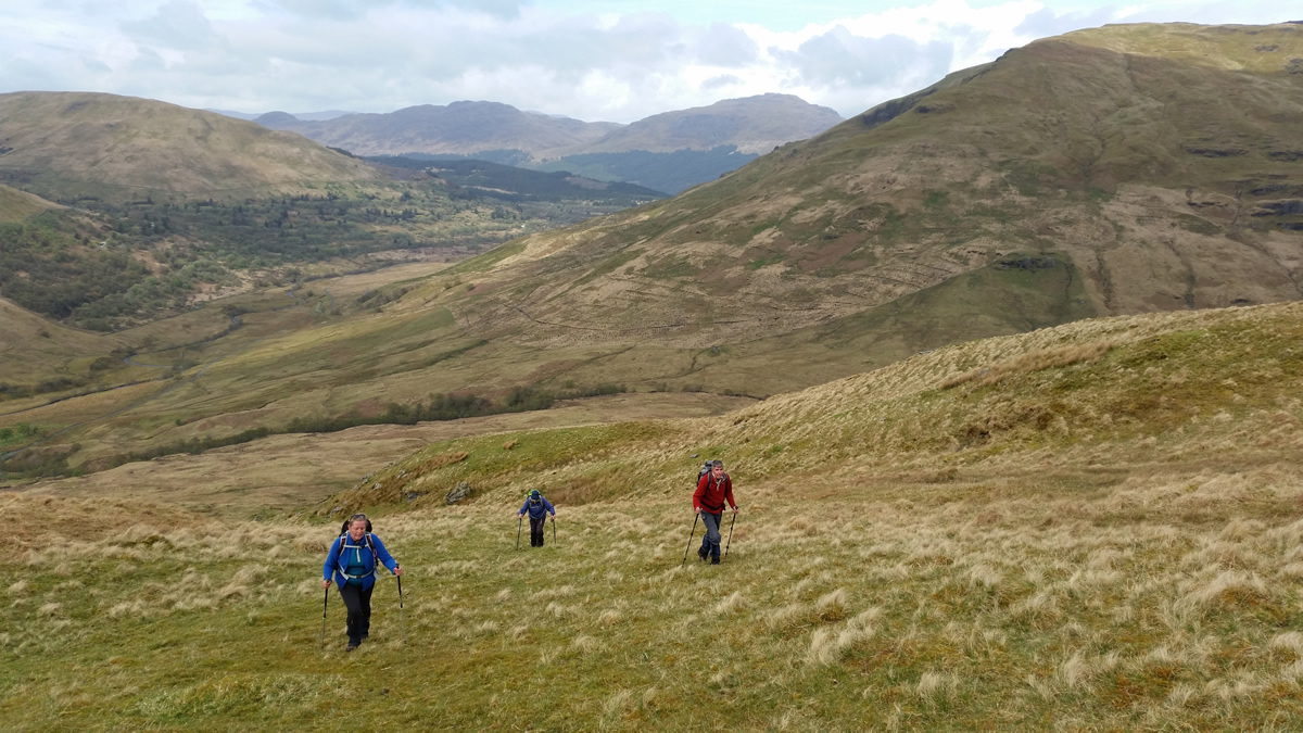
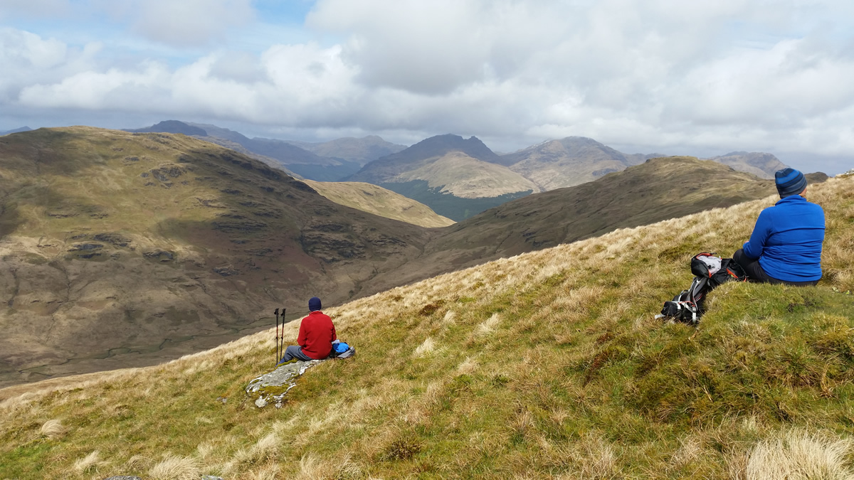
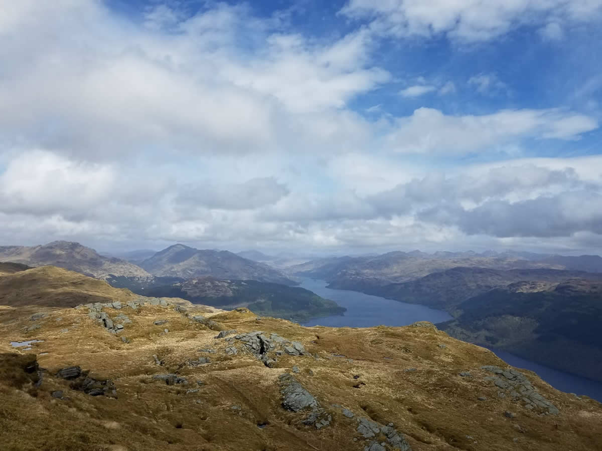
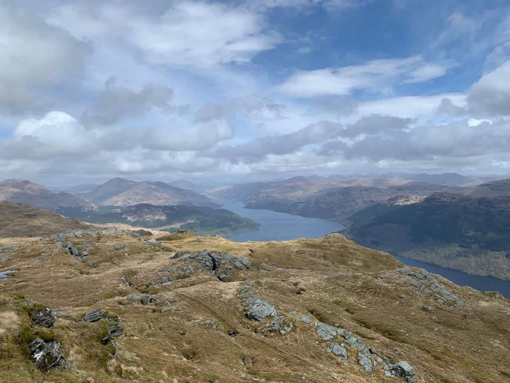
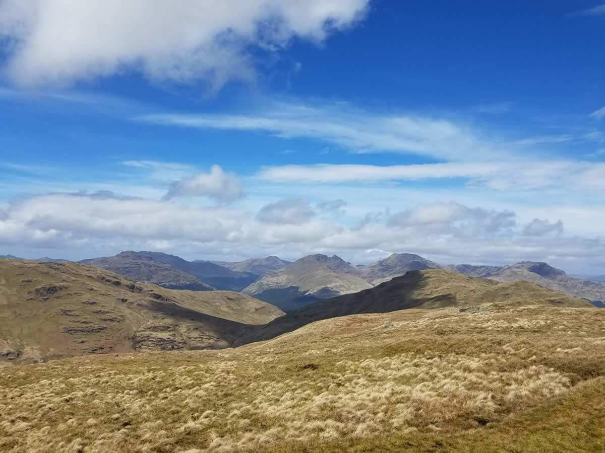
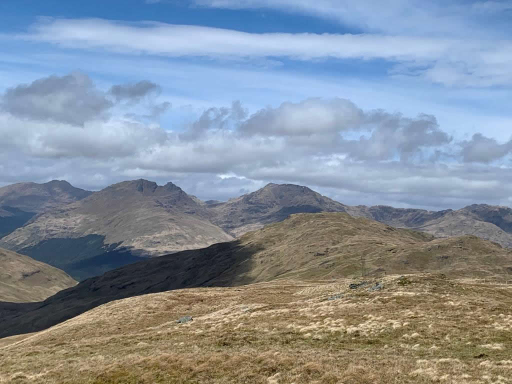
The two days prior to our walk had brought heavy rain as was reflected in the very wet start to our walk as we headed up the rough ATV track to the west of the forest boundary fence before swinging north east on the track as it starts to contour the hillside until we reached the 400m height, at which point we left the track to head directly uphill, picking our way around the few minor crags and rocky sections which lined the hillside ahead, and which gradually added to the effort required to make progress on the now quite steep hillside. As we gained height, the views opened up between the great V shape created by the summits of Tullich Hill and Ben Reoch whose slopes drop steeply to the dividing bealach of An t-Sreang and provide a frame for a panoramic view of The Cobbler and Beinn Narnain. Views we enjoyed as we made a short stop on a pleasant grassy area just short of the fence line which heralds the approach to the final steps towards the summit Trig Point.
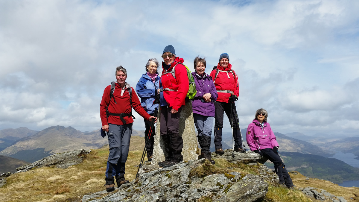
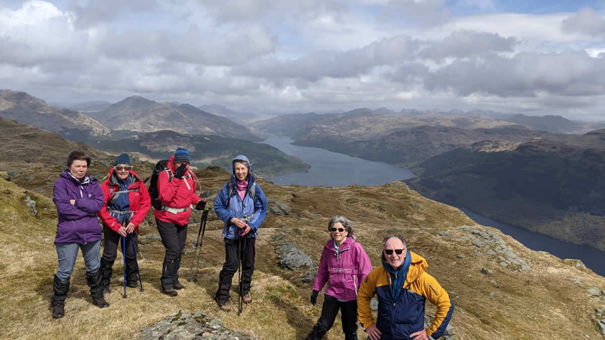
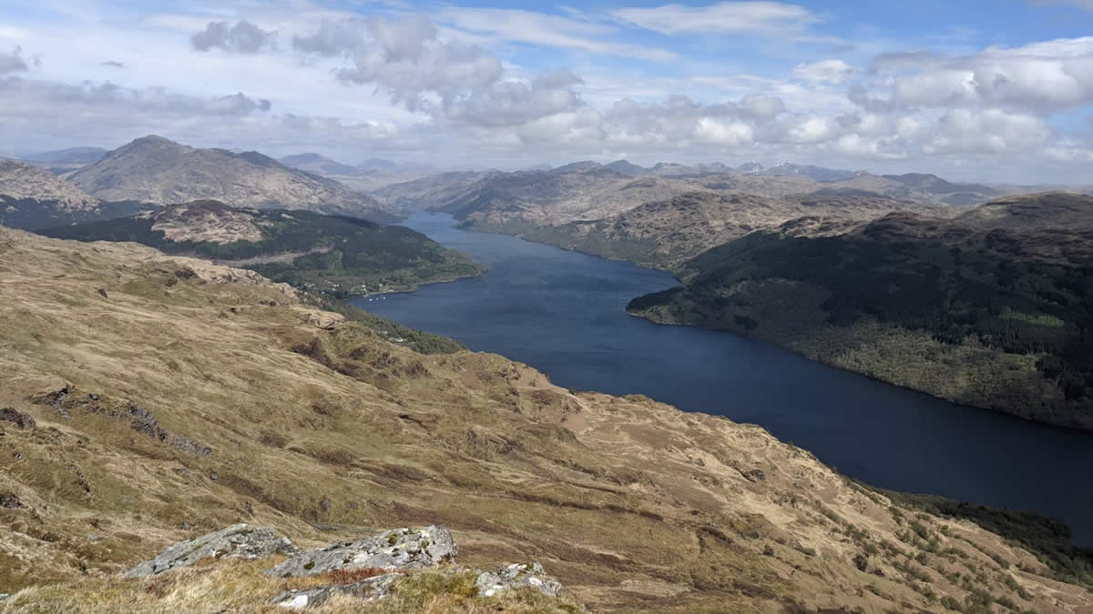
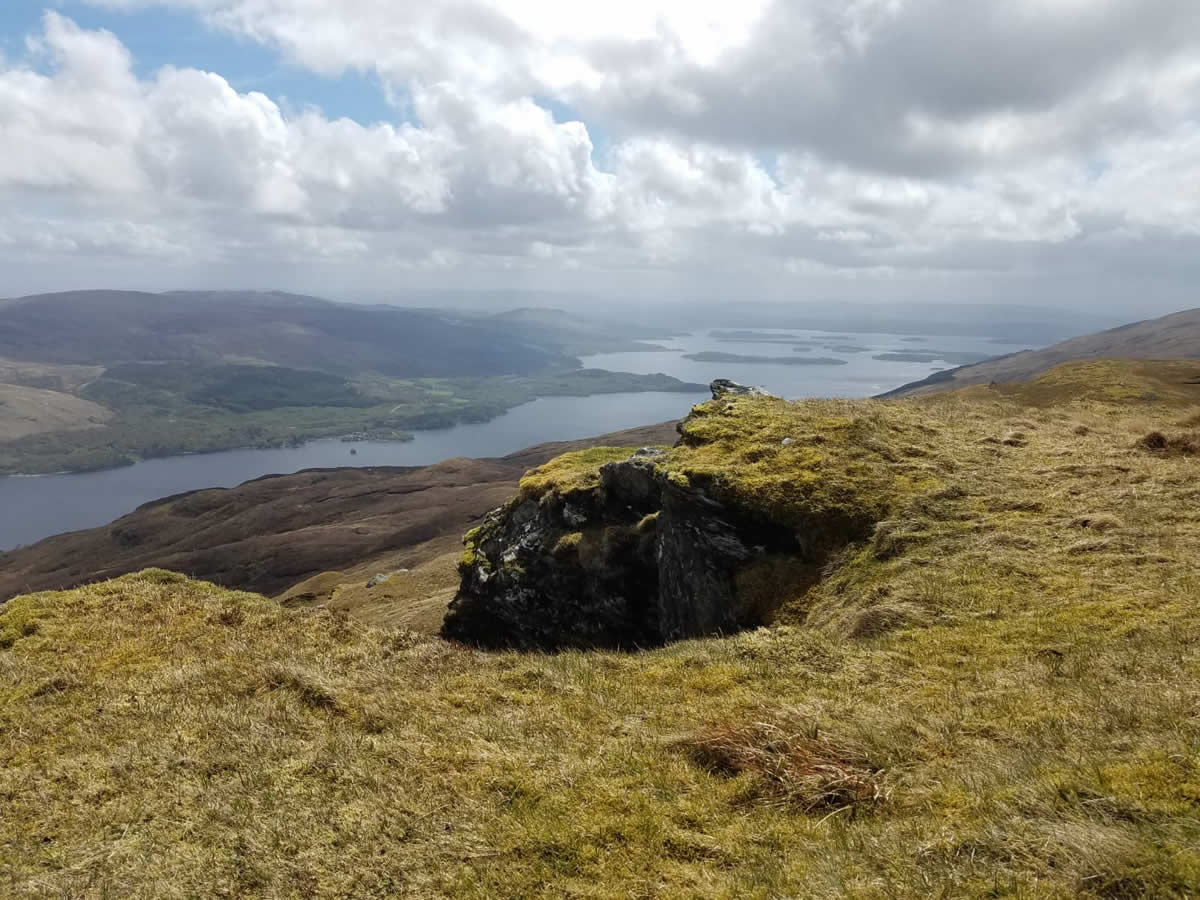
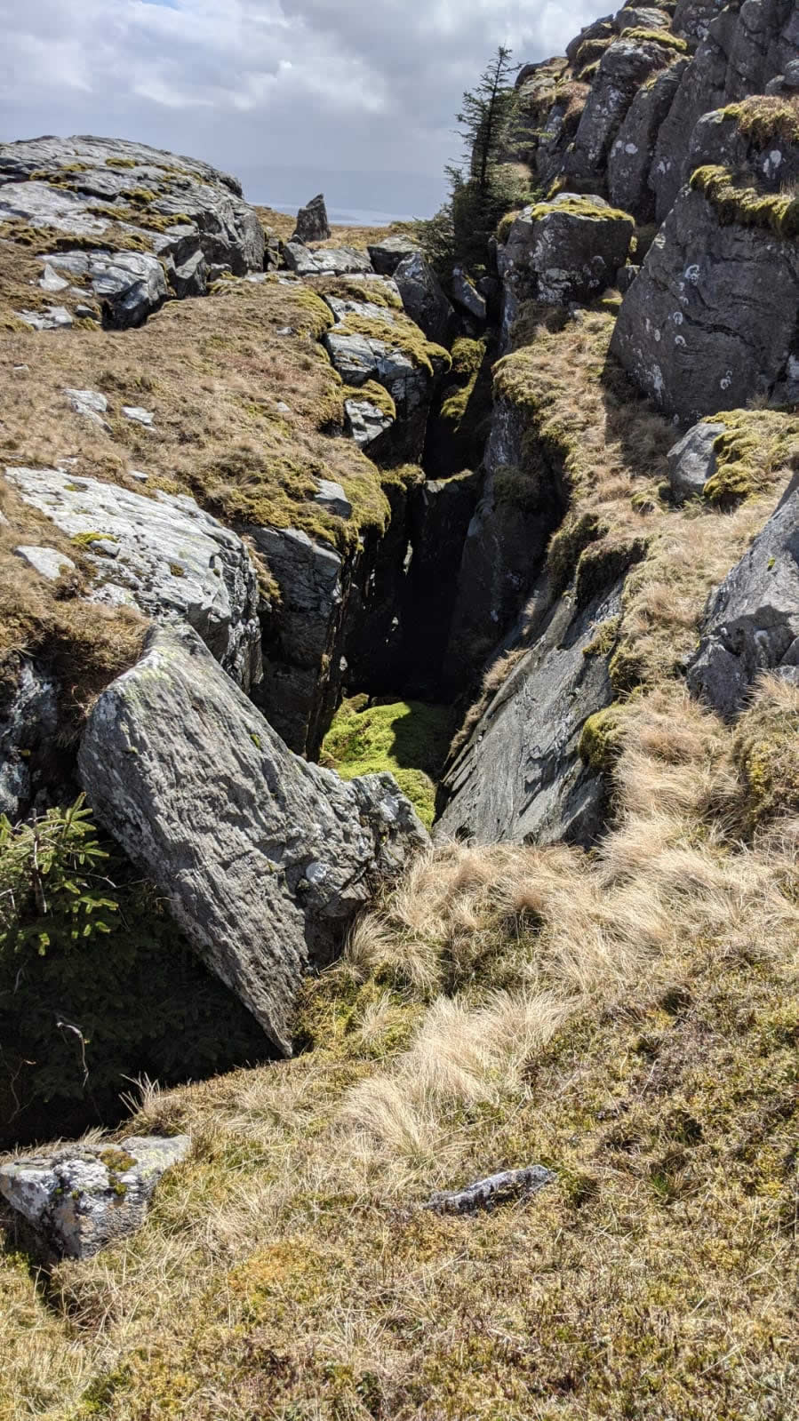
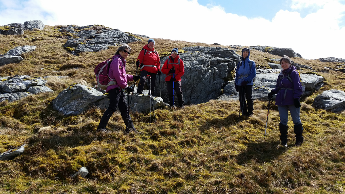
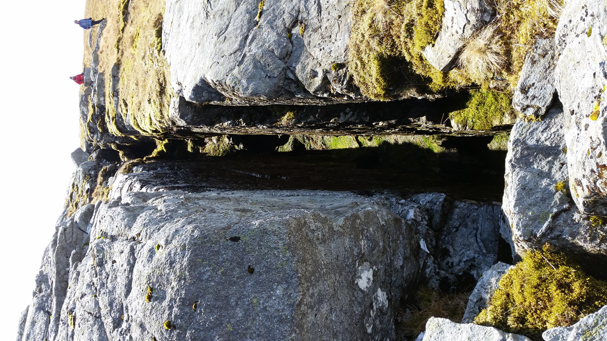
At first glance, the fence line seems to bar the way to the summit, with its barbed top wire, however, a short detour along the fence bring you to a fine barred gate, over which you can easily climb, and from which it is just a short walk to the prominent Trig Point which surmounts the rocky summit of this fine hill. Although the weather was dry, with cloud well above the summits, the wind on the tops was quite breezy and had a bitter bite to it. Nevertheless, a narrow rocky ledge provided shelter as we settled down once again, this time for a leisurely break to take in the extensive views that this summit offers over almost the entire length of Loch Lomond. I have mentioned “rocky” and few times previously, and once on the summit, this hill does demonstrate just how this piece of the landscape has formed over the years. Rocky outcrops abound, and with these outcrops come a number of small cave like entrances and some fine rock fissures to be explored.
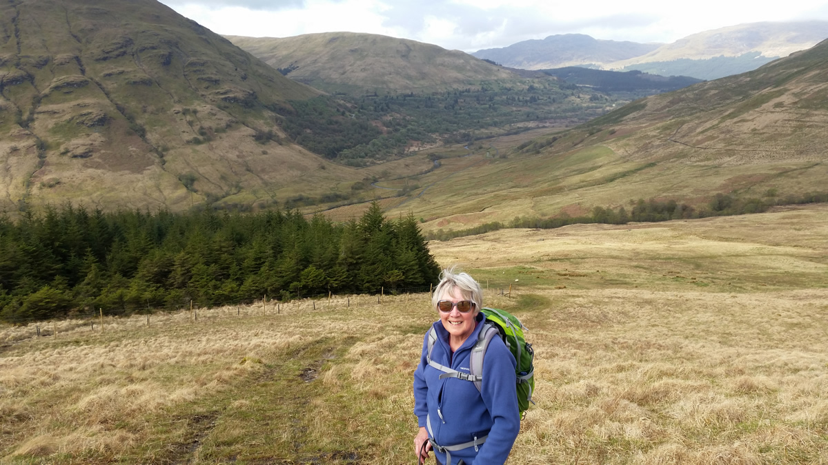
Leaving the summit and rocky area behind we descended north on what would be the route to Ben Reoch, however, after just a few hundred metres we swing west, and shortly after southwest on a descending contour on easy grassy slopes for a gentle return to the ATV track and the point at which we had left it for the much steeper direct approach to the summit. Back on the track, it was then a steady stroll through the wetter areas of the lower hillside and back to our start point at the edge of the forest boundary.
A great day, on a fine hill with the added bonus that we can once again meet up as a group now that there is a relaxation of the Covid rules. Marvellous, thanks everyone for you company.
Beinn Bhreac - Photo Gallery
Click any photo to activate large screen photo gallery