Ben Donich(847m)
Saturday 22nd May 2021
8kms
5hrs 45mins
We have climbed Ben Doncich several times, and only on one previous occasion have we descended by a route other than to return by retracing our ascent route back to the start point. That one occasion was an easterly descent down to Bealach Dubh-lic, with some very rocky and boulder strewn ground to cover, a route which, we did attempt on one other occasion, however, an injury and subsequent helicoper rescue ended that attempt before we were no more than a short distance from the summit. So, invariably the default for Ben Donich had become an up and down the north ridge. That is, until a few weeks ago when Ian and Mike recconoitred a descent into Gleann Mor via the northwest ridge, which later swings north in a dogleg down to the forest boundary. It is this forest which had detered any would be descent into Gleann Mor, the forest is dense with no obvious throughway to the lower forest tracks. However, our intrepid recconoitrers did find a way through; Note, I did not call it a path or track, but rather a way through; more about that later!
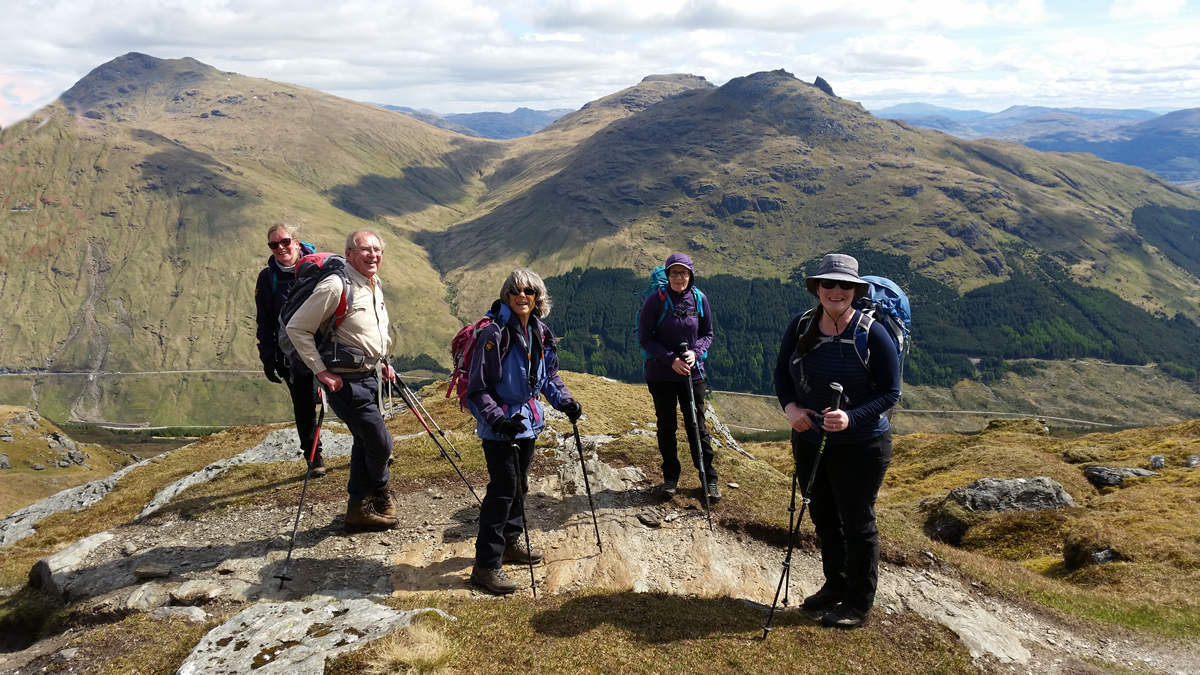
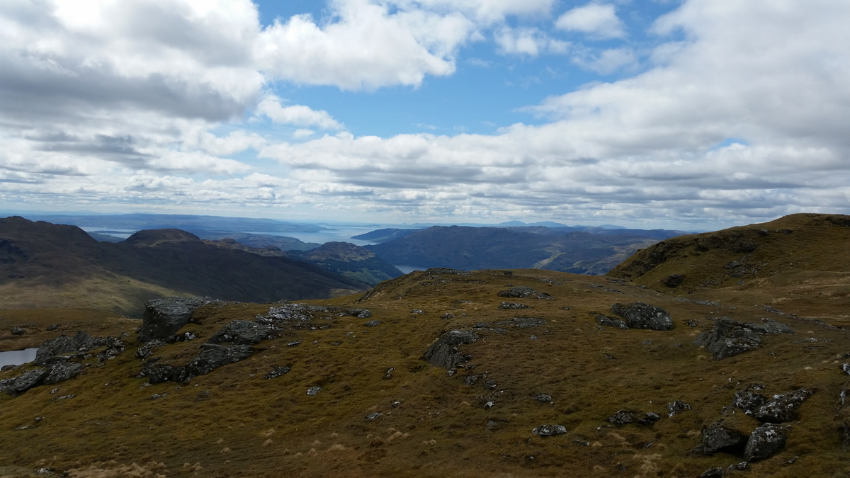
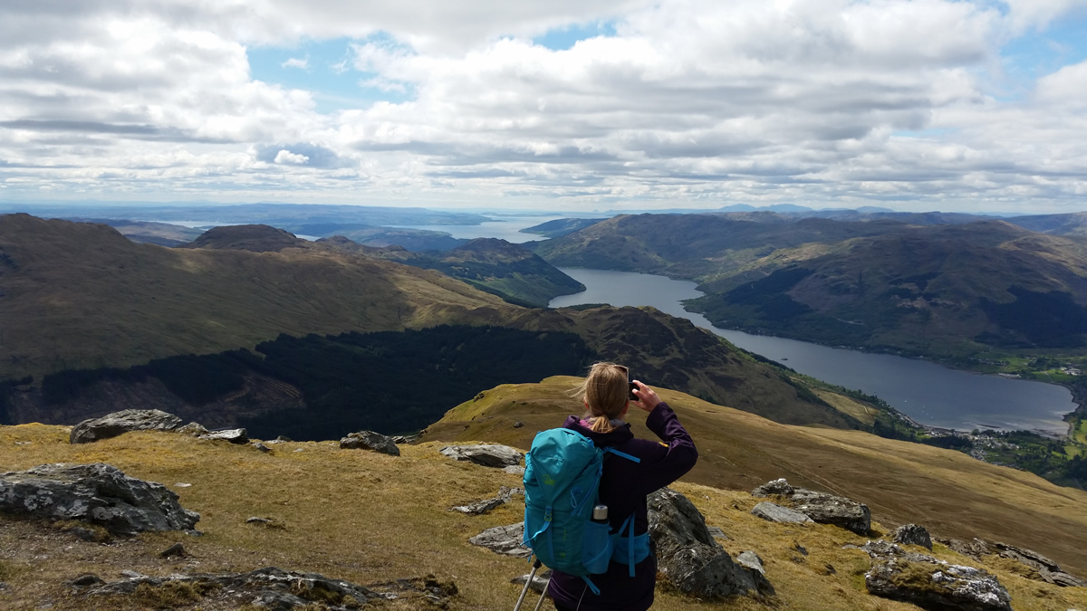
I was keen to follow in their footstep, and so gathered some "willing" companions and, picking a fine weather day, set off for the standard ascent of Ben Donich, which was accomplished in dry, bright, if not a little cool conditions with a leisurely lunch in a sunny spot where it felt positively warm out of the cool wind. Lunch over, it was time for us to take a new route off the summit of Ben Donich
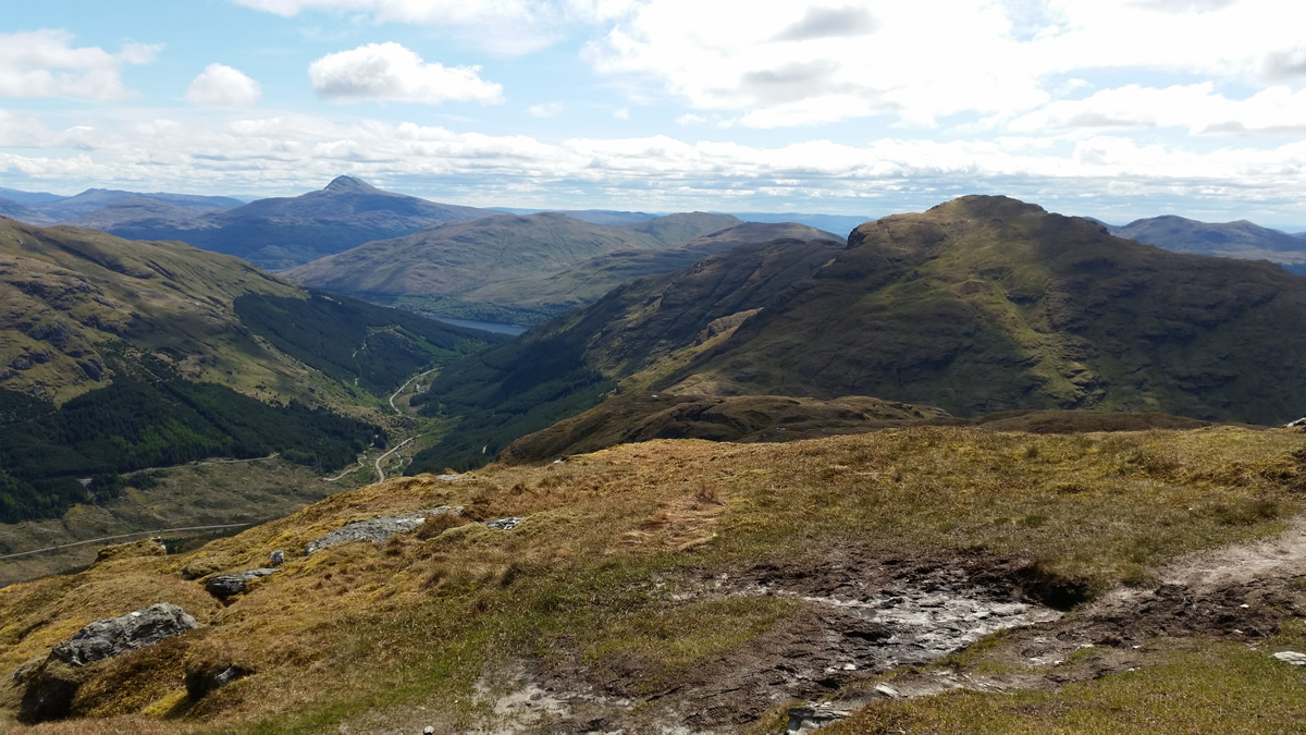
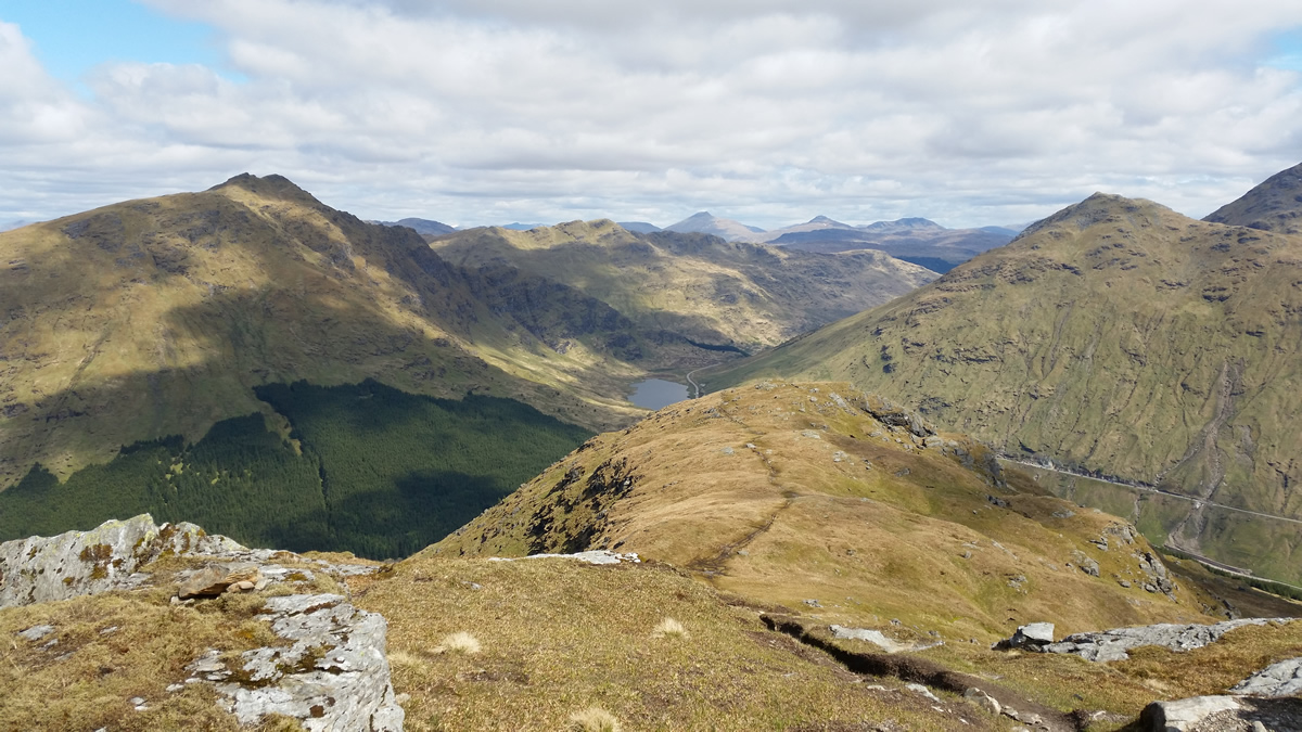
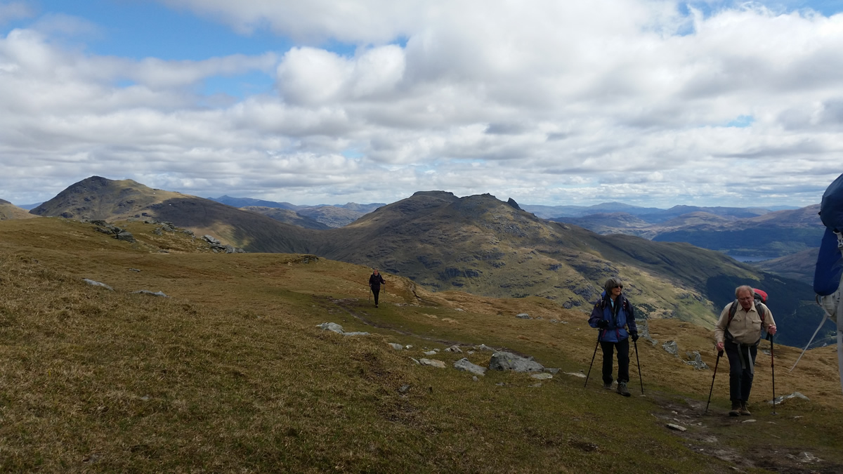
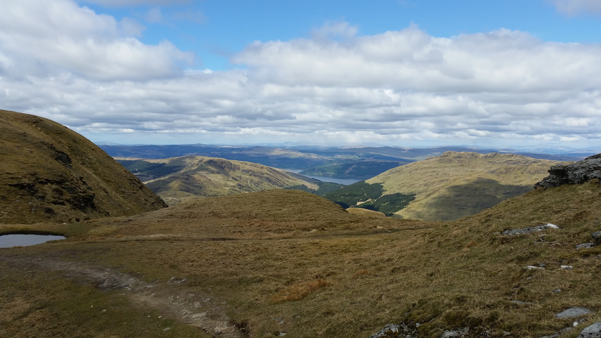
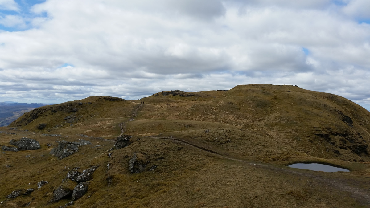
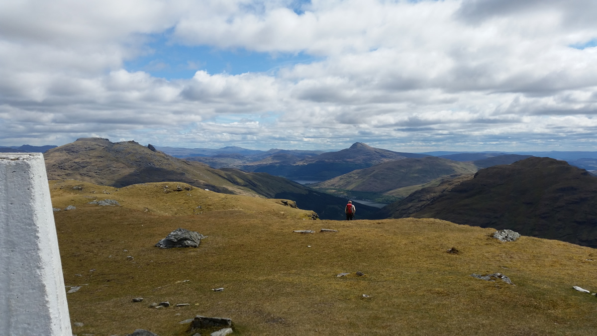
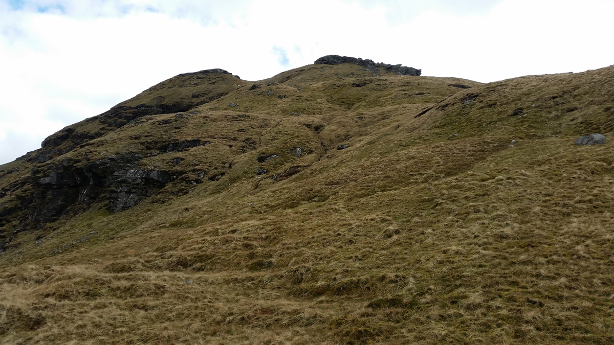
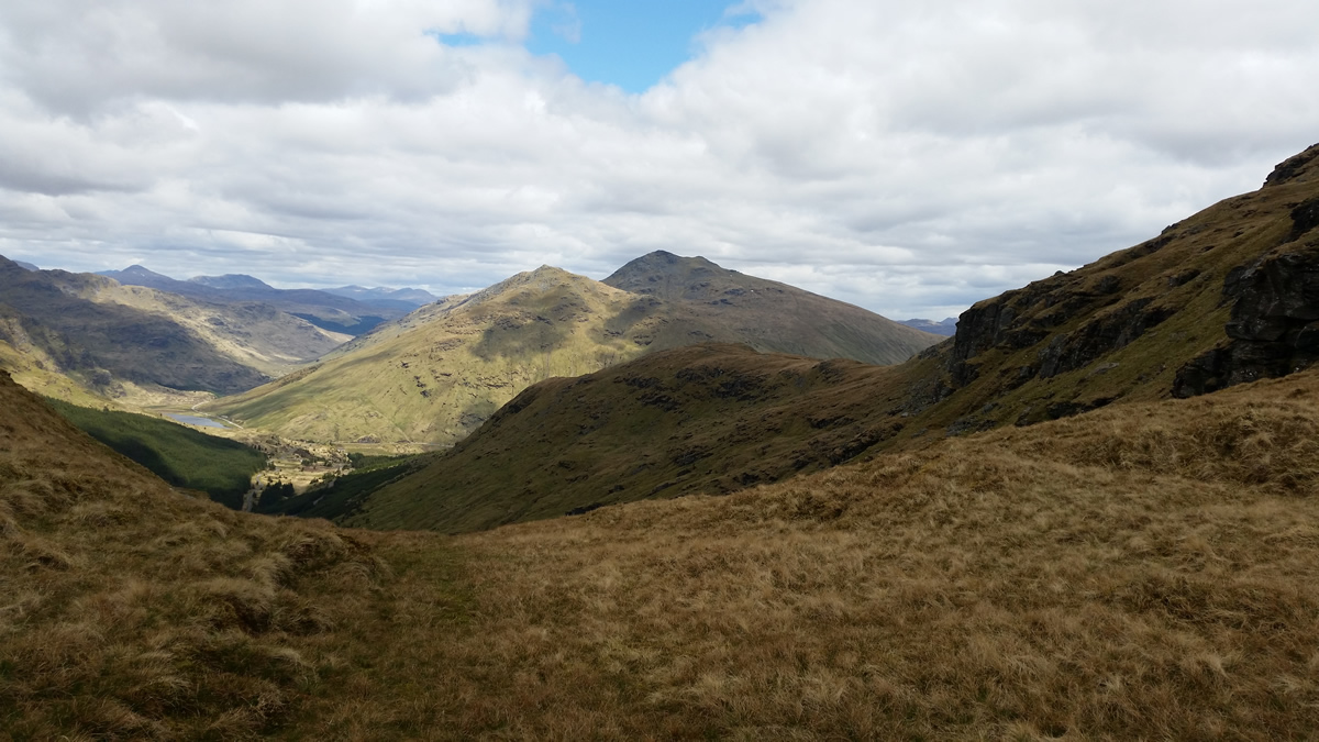
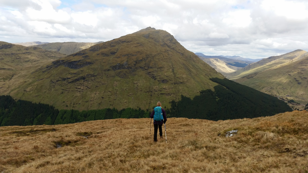
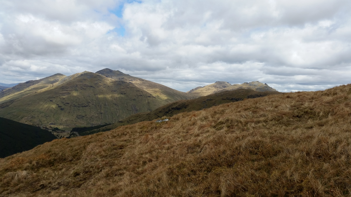
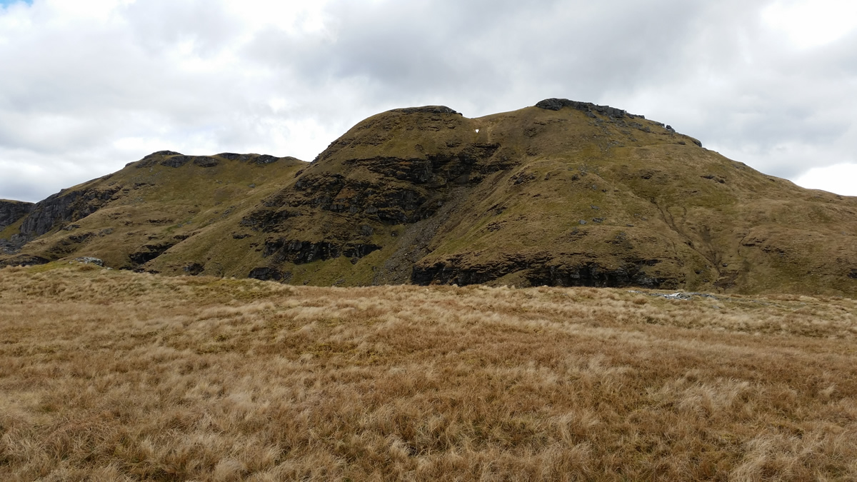
So, from the Trig Point, heading 305dgs, descend 150m to Bealach Buidhe. A straightforward descent on grassy ground, towards the bealach, the area of which mysteriously stayed well hidden until we stood on a small grassy shelf just a few metres above the narrow bealach, before dropping down to the small grassy area which marks this bealach at the 700m height, the altimeter registering 700m precisely. Good. Out of the bealach at 340dgs heading for a small knoll which, on the map is shown at 717m high, just 17m higher than the bealach. And yet, both as we were descending towards the bealach, and now standing in the bealach, this knoll looked much more than 17m above us. But, the map does not lie, and a few minutes later, the altimeter was reading 720m, that's close enough. A little care required here, just to ensure we did not leg it off down the wrong ridge. (I did have Ian and Mikes gpx track on my Viewranger, however, it was great to get onto an unknown hill and get some map and compass practice, as we so often known those hills we are on that map and compass are rarely in use.) So another change of bearing, this time to 315degs, and continue the descent to the 650m height, at which point we can swing almost due north for the descent down towards the forest boundary.
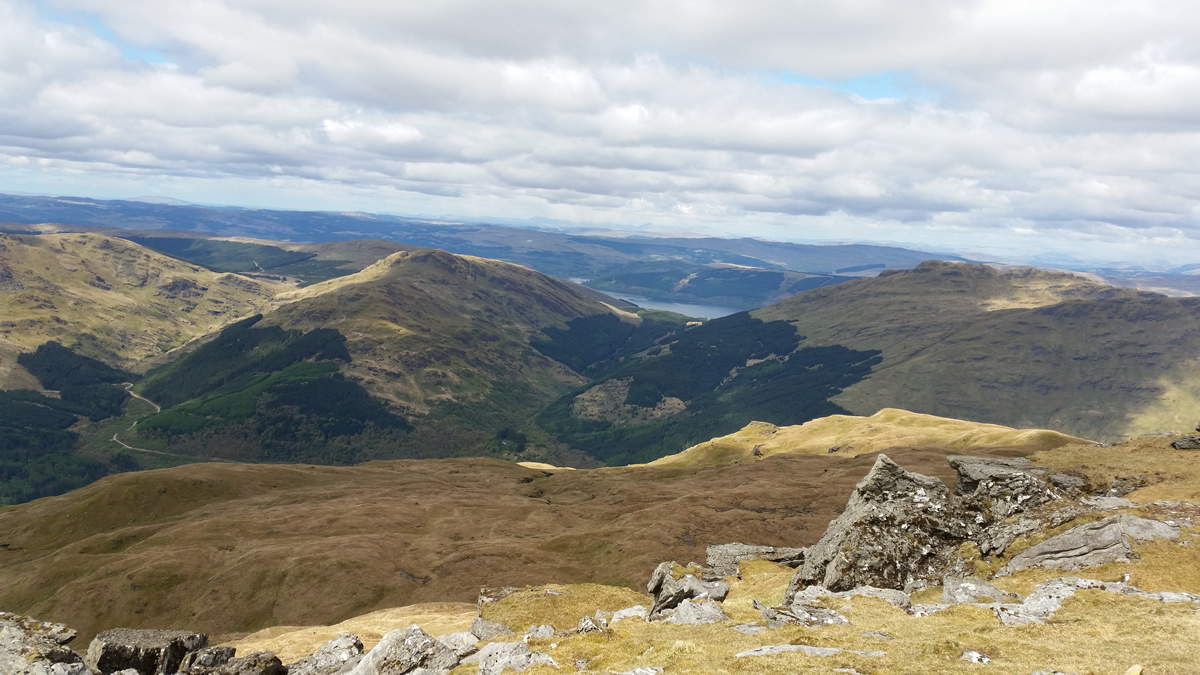
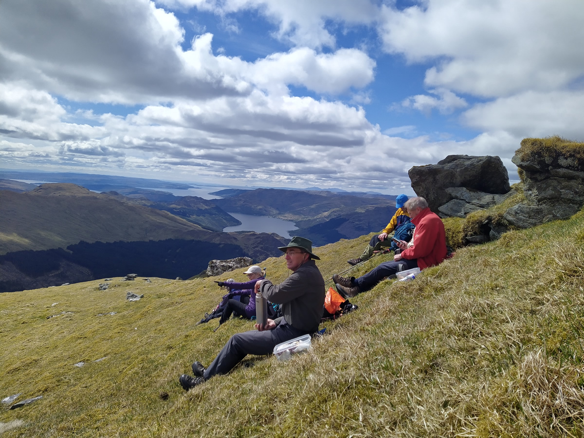
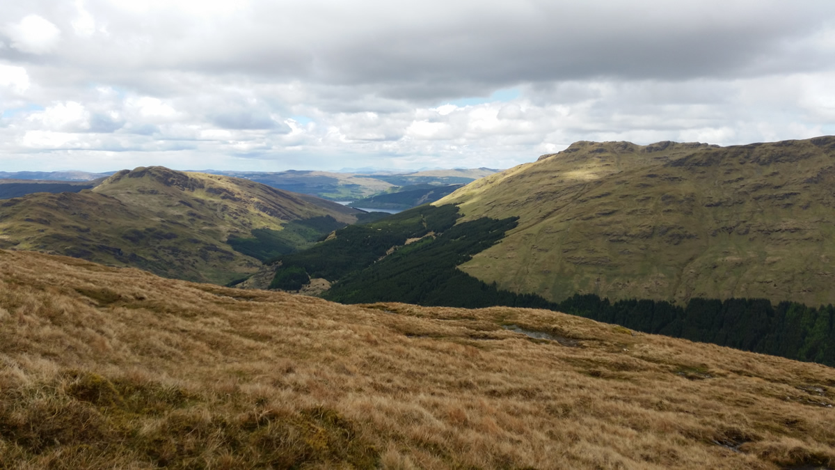
Ian and Mike had followed a burn through the forest, some 400 metres east of the ridge we were on. We curved around the base of some small crags at about the 350m height, found ourselves a nice spot and settled down for a short break and to take the opportunity to survey the forest ahead. From our spot on the hillside, we could see no defined gap in the forest, although, that taken by Ian and Mike was still hidden by the final gully we had yet to cross. Our break on the hillside was cut short by a sharp shower of hailstones, the clouds had been gathersing slowly since we left the summit, and this was them once again letting us know not to relax too much.
A short contour across the hillside, cross the first gully and burn, cross the fence and along to the second gully and burn. Here I did double-check Ian and Mikes route just to ensure we had found their "path" through the forest. Yes, this is it, and onwards into the forest. Two steps in, and any thoughts of a path quickly evaporated. Not being held back by convention, the two smallest of the group lead the way; well done ladies! The fact that Lesley and Lindsay were almost crawling beneath the thick undergrowth, what choice had I or anyone else but to knuckle down and get through whatever it took. Suffice to say, 12 minutes later we emerged on the forest track, everyone shrugging and scratching to rid themselves of pine spines that seemed to be everywhere, there was even mention of a few scrapes and some blood being drawn. Oh happy days! A short 30 minute walk along the forest track, and we were back at our cars.
This circular route is a real pleasant change, the descent is on fine grassy ridges, and is relatively easy walking - the forest is a bit of a spoiler at the end of a fine walk - I wonder if the forestry workers are open to a bit of bribery - a quick chain-saw up the burnside would work wonders!
A brilliant day, thanks to Ian and Mike for their recce, and thanks to all for your company.
Ben Donich - Photo Gallery
Click any photo to activate large screen photo gallery