Beinn Eich(703m) & Doune Hill(734m)
Sunday 24th June 2012
13kms
6hrs 45mins
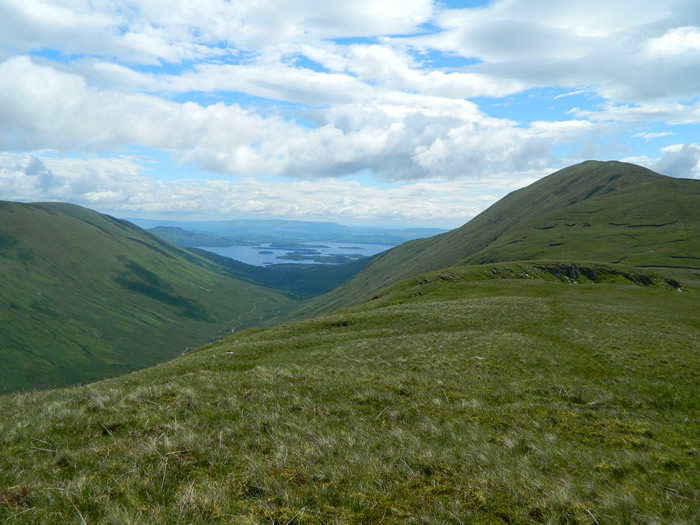
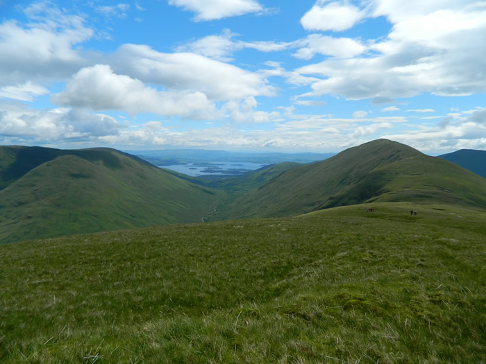
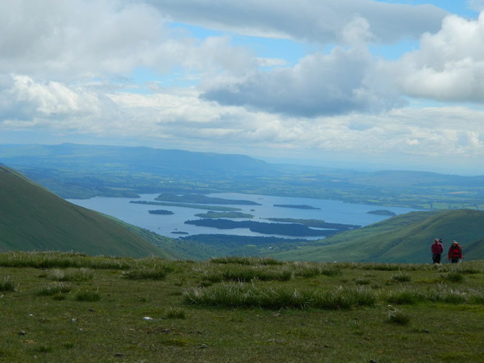
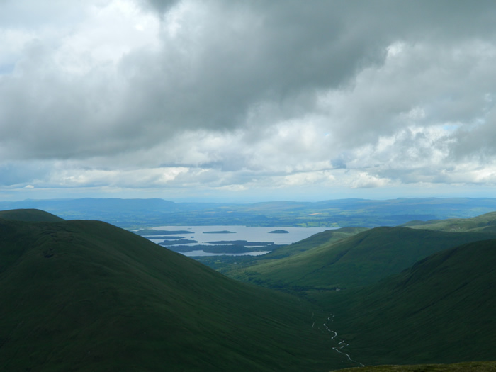
We had done this walk in November 2011 on a wet and very cloudy day which meant that we were denied the extensive views over Loch Lomond that this walk provides - hopefully we would have better luck with the weather today.
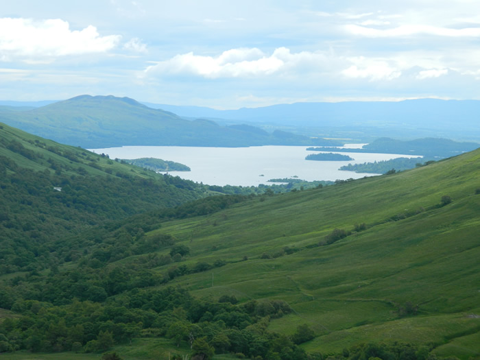
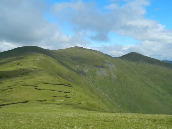
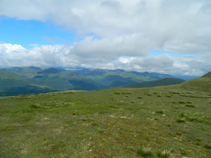
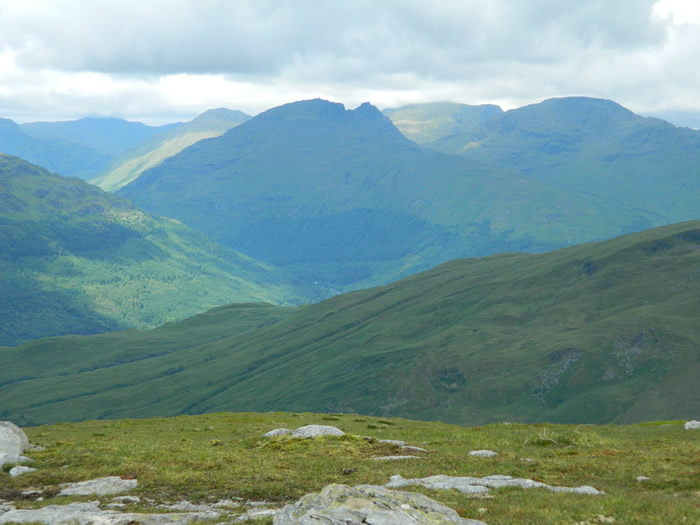
We parked in the very limited parking area at the end of the road up Glen Luss and set off down the track towards Edentaggart farm turning off over the style shortly before the farm, crossed the field and then started the long, and fairly steep ascent up the grassy shoulder of Beinn Eich. Its not long before height is gained and the views down Glen Luss and over Loch Lomond begin open up. We were in luck, visibility was excellent with clear blue skies and scattered clouds. The summit of Beinn Eich (703m) was reached just as a few wispy clouds drifted by, but they soon cleared to leave us with good visibility once again
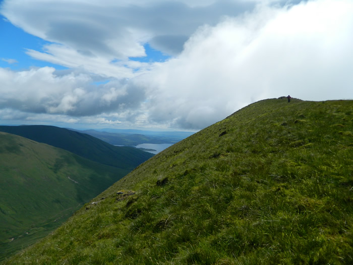
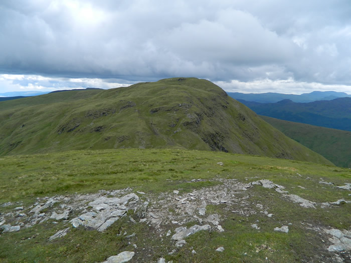
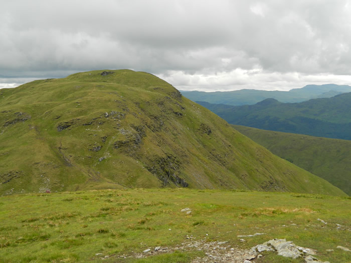
The grassy ridge descends from Beinn Eich and then climbs once again to Beinn Lochain (698m). Hard to think that on our walk last November, Lawrie was doing some nifty compass work over this section as the visibility was practically zero. Today it was a beautiful walk, taken slowly and to be enjoyed.
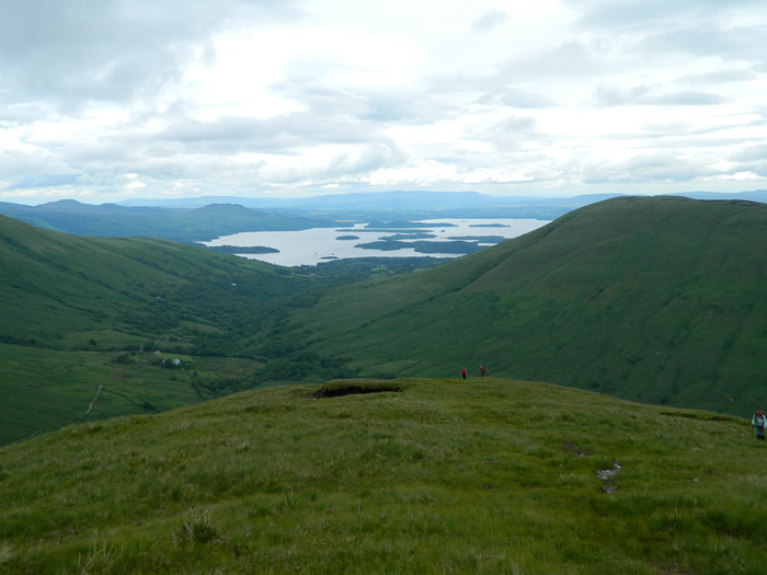
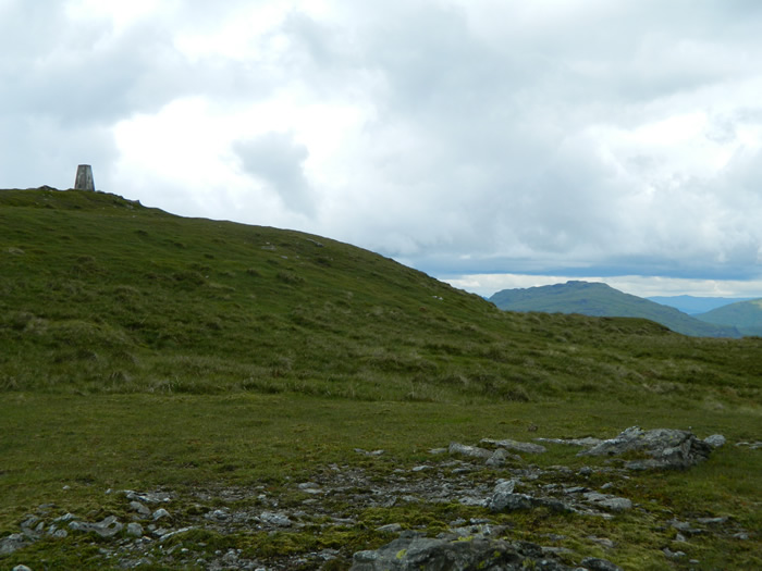
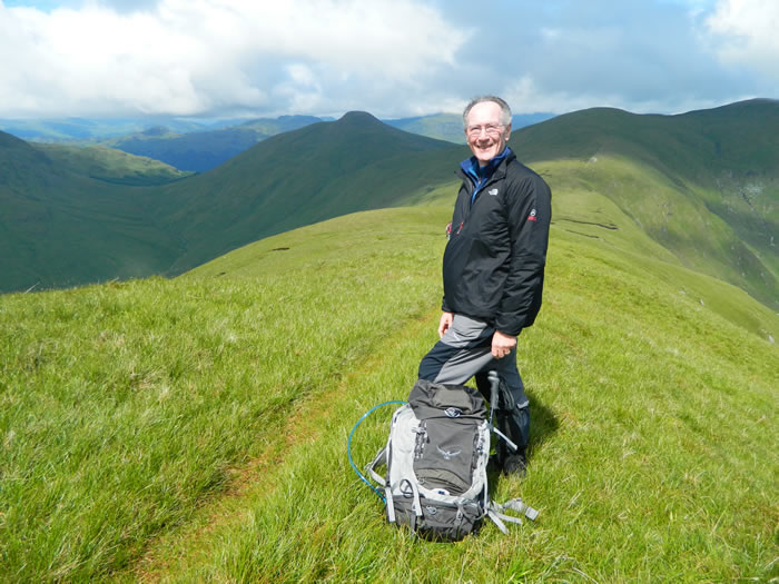
A short down and then uphill section takes us quickly from Beinn Lochain to our highest point of the day, the trig point on Doune Hill at 734m, and a relaxed lunch break.
After lunch we descended to the Bealach an Duin and the two small lochans, one of which feeds two streams, one which flows northeast from the bealach and the other which flows southeast from the bealach, very weird. The descent from Doune hill into the bealach presents the only awkward section of the day, in that there is a small crag which needs to be by-passed to the east to descend safely to the lochans.
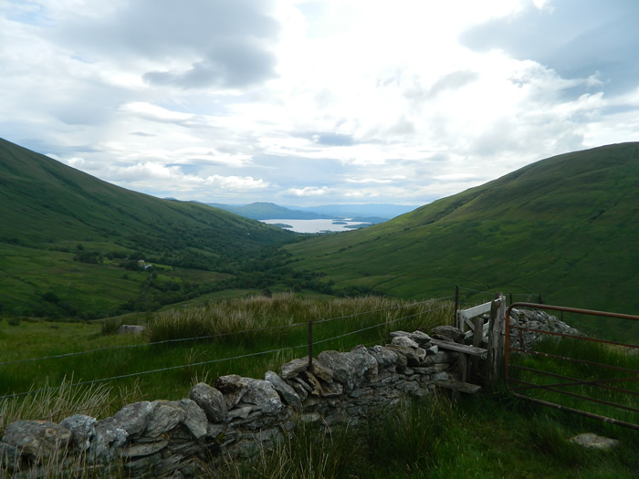
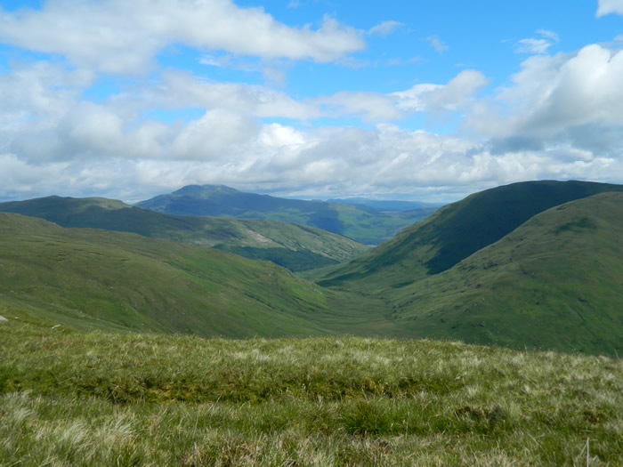
From the lochans, its a short sharp climb to the cairn on Hill 701 (why 701 - well this hill has no name on any map, just a spot height, and whenever I have heard or seen it referred to in hill walking guides, its referred to as Hill 701). Strangely, although there is a faint path leading up to the summit cairn, there is no other paths leading away, so I assume most walkers retrace their steps for the return to Glen Luss. However, Lawrie had other ideas and we headed generally east and then southeast down the eastern slopes of Hill 701 to reach the head of Glen Mollochan and the Mollochan Burn. The descent was over easy sloping hillside, with one section through deep bracken.
Once in the Glen, its a watery and boggy walk to pick up the track which runs from near the head of the glen to join the Glen Luss road and the return to the car-park. Even with the boggy section, this is a my preferred route, as it provides a circular walk, rather than turning around and retracing our steps of the outbound route.
Given good weather, this is a great walk easily accessible from Balloch and giving magnificent views over the Luss hills and Loch Lomond - thanks Lawrie.
Beinn Eich & Doune Hill - Photo Gallery
Click any photo to activate large screen photo gallery