Ben Lawers(1214m) & Beinn Ghlas(1103m)
Saturday 30th June 2012
12kms
6hrs 30mins
We started from the new car park on the left of the National Trust for Scotland National Nature Reserve and walked through the walled intepretation area (which was closed off on our last visit just a few weeks previous) crossing the road to pick up the track leading towards the gated entrance to the nature reserve. Our route took us through the nature reserve on the main path, dipping down to cross the Burn of Edramucky as it passes through the reserve, before continuing on the well defined track to exit the reserve by the gate at the northern end of the reserve.
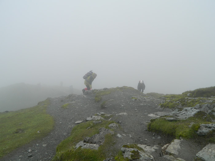
Beinn Ghlas was shrouded in low cloud as we started to ascend the path and zigzag up the shoulder towards the summit. The wind picked up considerably as we covered the final steps to the small cairn which marks the summit of Beinn Ghlas, at 1103m. By this point everyone in the group had donned additional clothing, and our waterproofs, as the wind had blown in some fairly heavy rain showers. With the temperature dropping fast, it felt more like the 30th of November rather than the 30th of June.
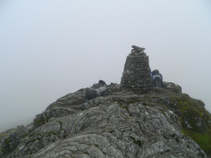
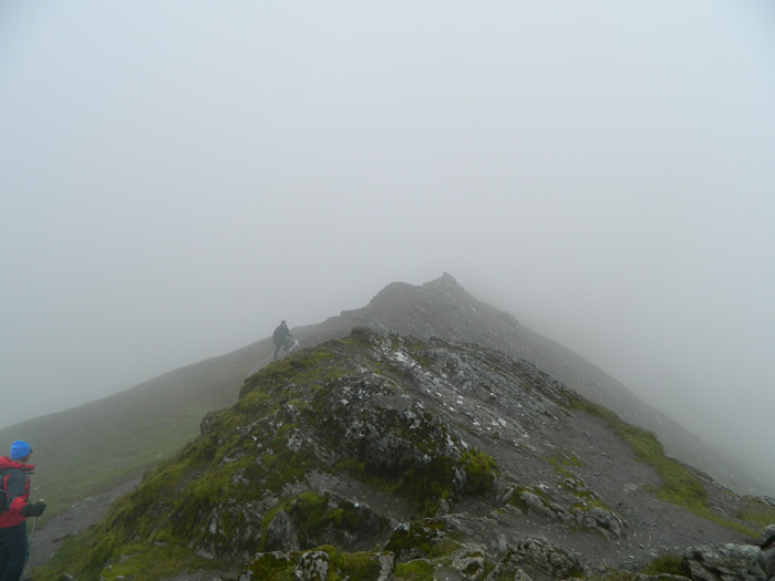
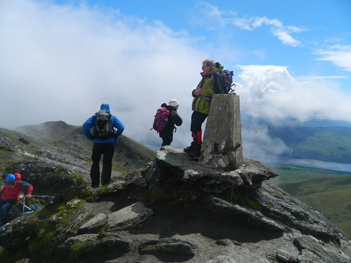
We had a short stop for the obligatory photo call on the summit (no views, just the group and lots of cloud) before setting of on the descent down the easy slope to the bealach at 1000m before the final climb up the rocky path to the summit cairn and old trig-point on Ben Lawers at 1214m. The wind was still making for an uncomfortable time, and we had to drop of the summit to the east before we found a spot free of the wind to have our lunch break.
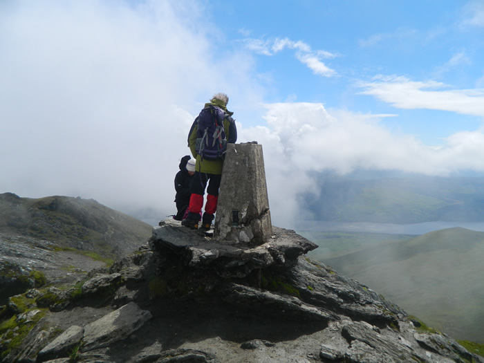
As a pleasant surprise, the clouds broke and we had some good views north over An Stuc and Meall Garbh, and south to Loch Tay. During our stop, discussions ensued as to the possibility of making a direct ascent of An Stuc from the shores of Lochan nan Cat - Alan reckoning it would make a good walk, starting from Lawers, up the track to the lochan and then a steady climb up through the crags to a point just below the summit of An Stuc - interesting to see what transpires, no doubt Alan will get us out on this one before long.
With lunch over and the wind dropping to a more pleasant level, we retraced our steps to the bealach, and then continued our descent southeast along the well defined path skirting to the north of and behind Beinn Ghlas to the bealach, at c880m. From the bealach it was an easy walk along the gently slopping track that parallels the Burn of Edramucky back at the large rock which marked the junction with our outbound route, 100m before the northern most gate leading back into the nature reserve, and our return to the car-park.
A watering stop at the Bridge of Lochay hotel before continuing our homeward journey completed a fine day - congratulations to Joyce on completing her first double Munro and thanks to Lindsay for another great walk.
Beinn Ghlas & Ben Lawers - Photo Gallery
Click any photo to activate large screen photo gallery