Beinn Mhic Mhonaidh(796m)
Sunday 30th March 2014
17kms
7hrs
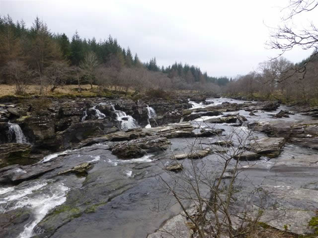
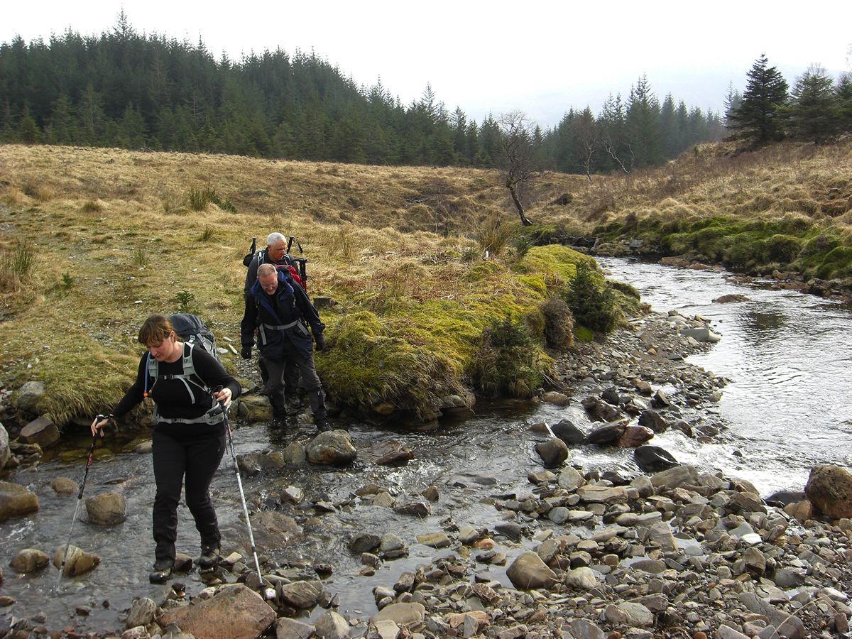
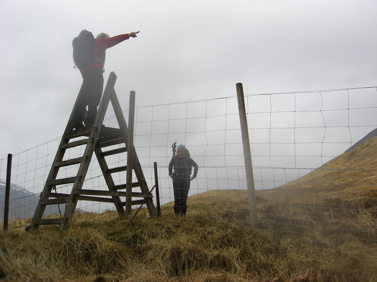
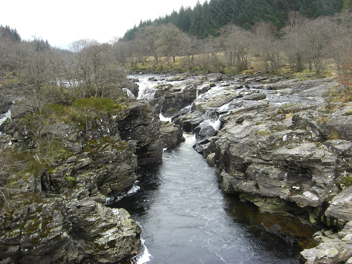
As start points go, the Eas Urchaidh falls on the River Orchy must be one of the most picturesque, although I was surprised to see the water level as low as it was for this time of year; and, if the initial 5k is via forest tracks, then the twisting, winding track rising through the forest from the falls to the forest boundary at the old shielings at Airigh Chailleach is certainly one of the more enjoyable forest tracks. In another OS anomaly, the remains of the shielings at Airigh Chailleach are clearly marked on the 50,000 Landranger maps, but do not appear on some versions of the 25,000 Explorer series; one explanation may well be that the remains are quite indistinct, and even at ground level you could easily walk over them without even realising their significance.
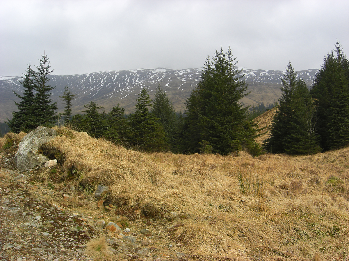
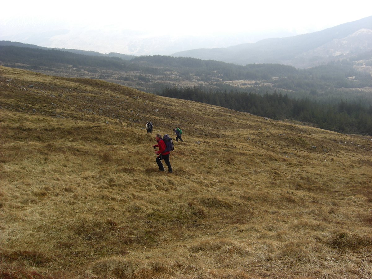
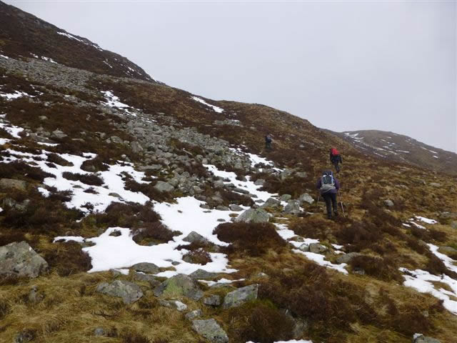
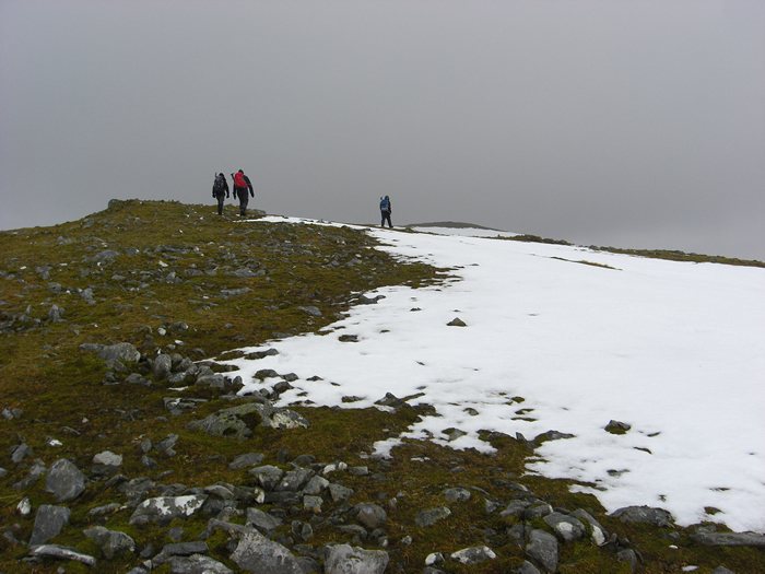
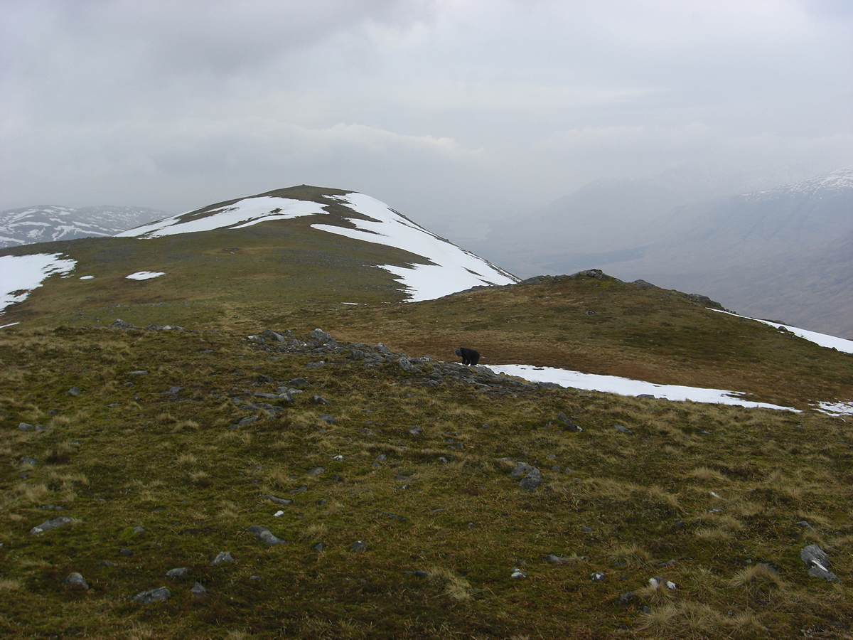
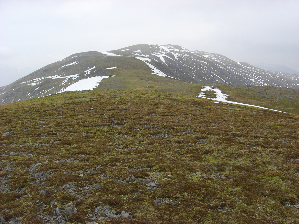
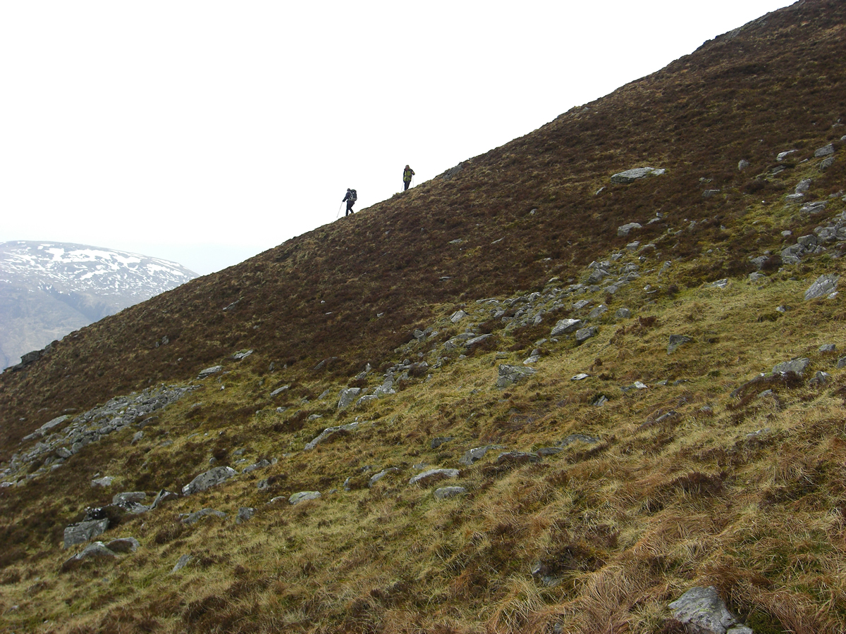
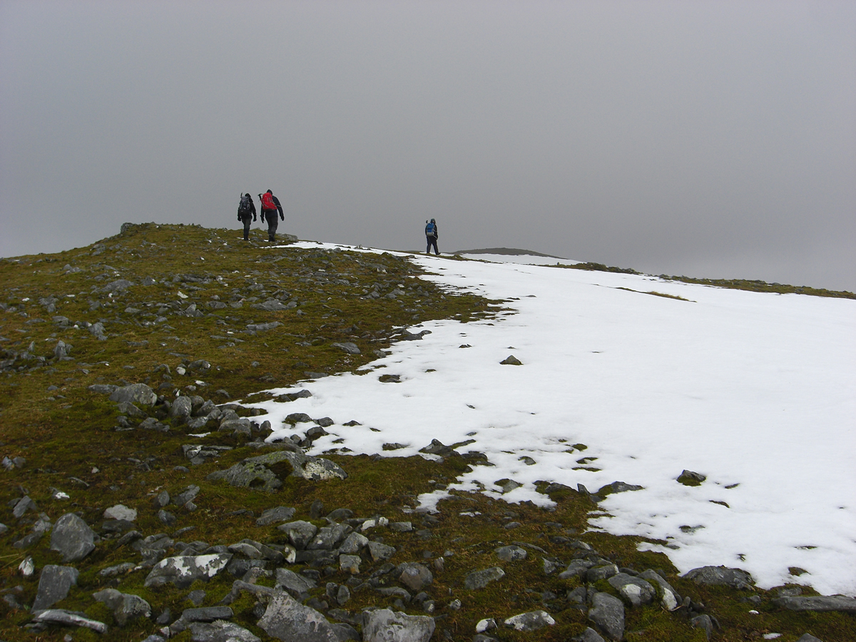
Over the boundary stile and passed the shielings, we took to the open, grassy hillside and steadily climbed towards the rocky outcrops to the east of the summit, beyond which we would find the series of small lochans that lie nestled below the main summit. As we gained height, scattered patches of snow reminded us that until last week, these hills had held quite a covering of snow, and, today the temperature was still low enough to hide the lochans below an icy crust.
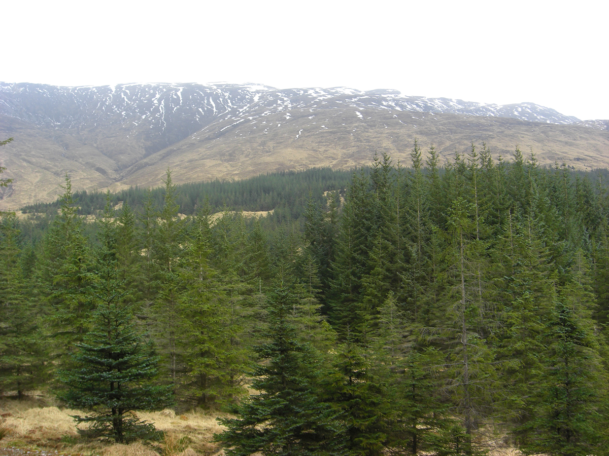
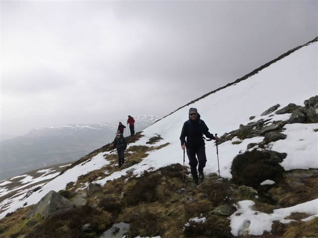
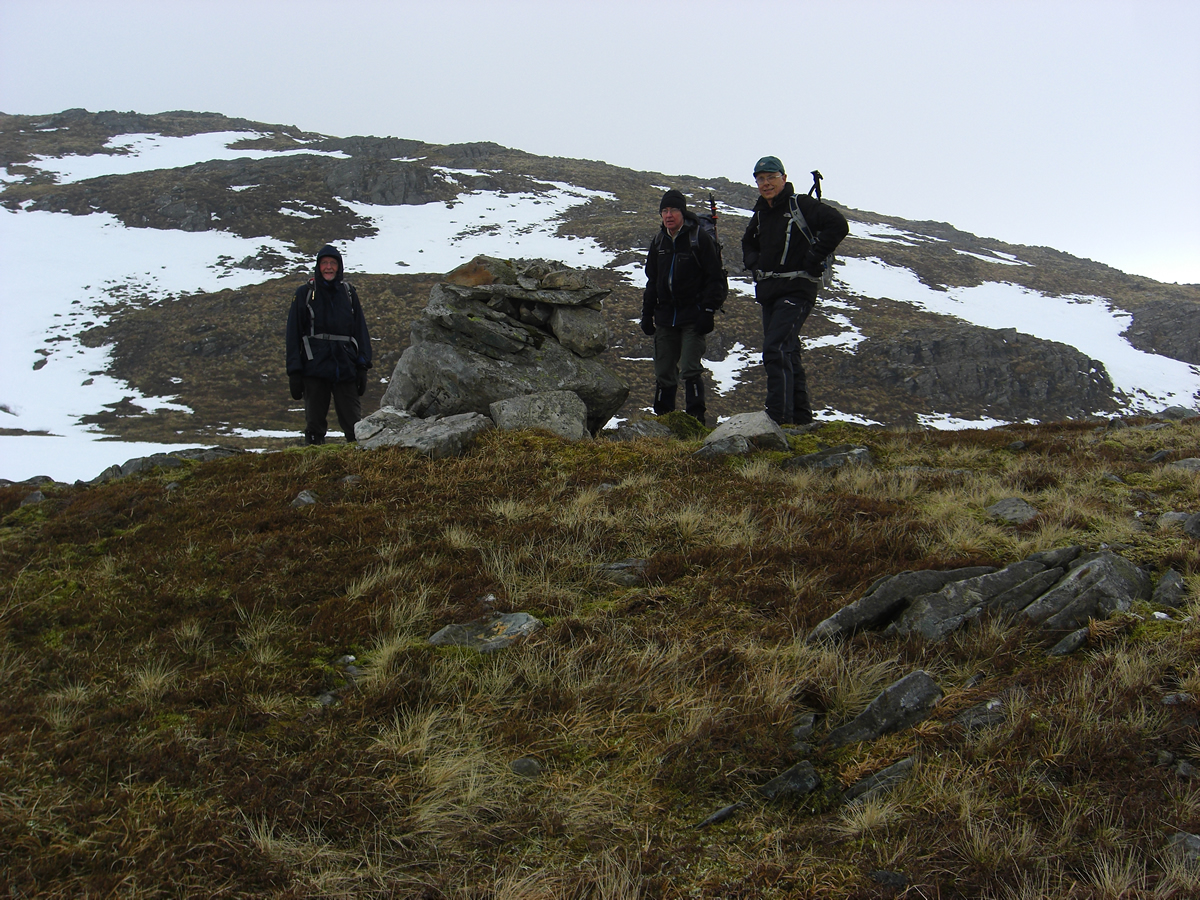
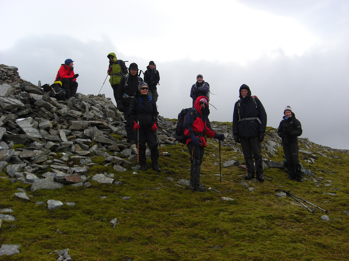
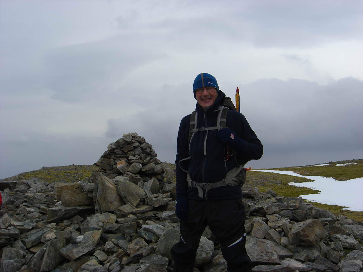
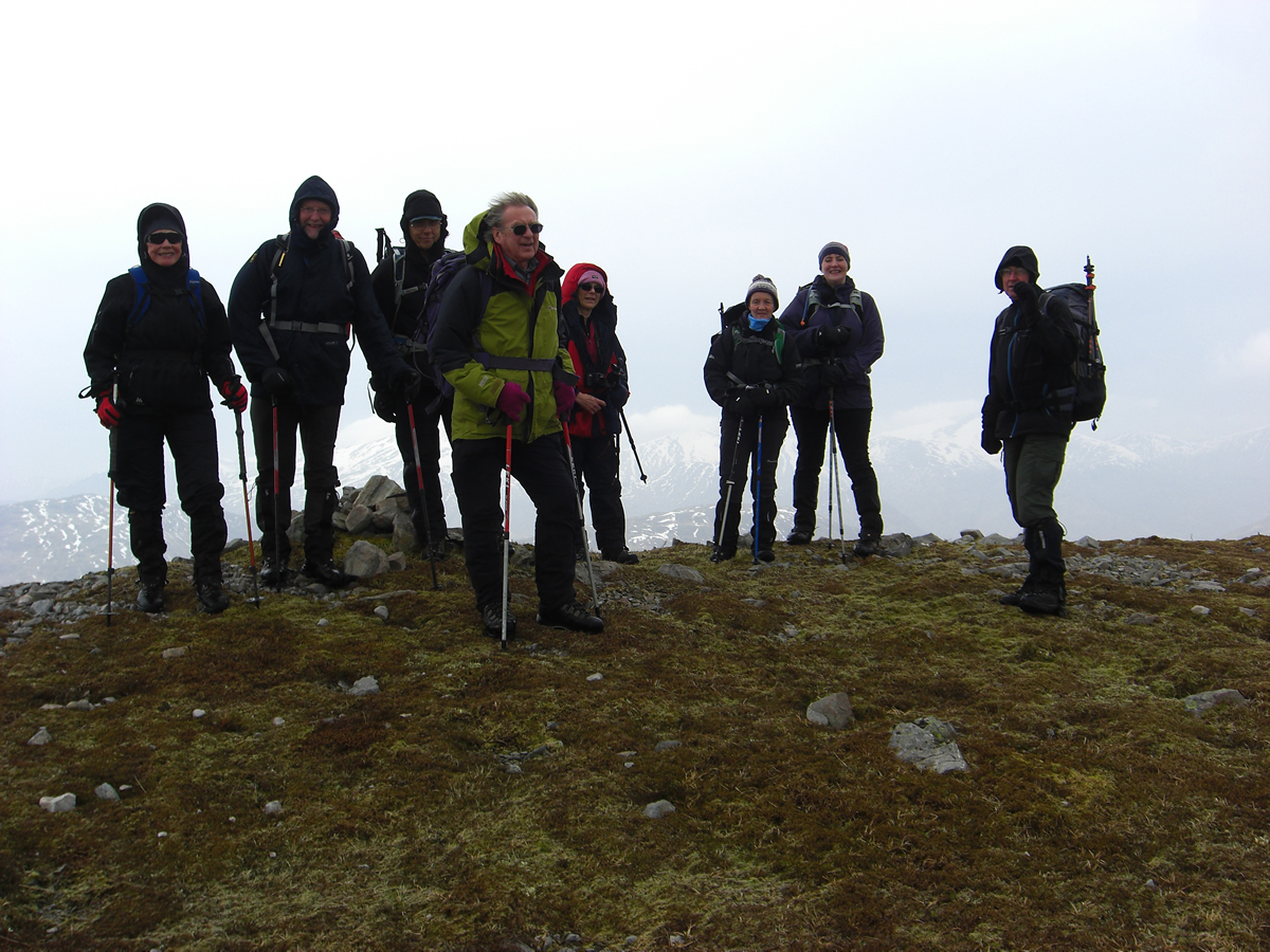
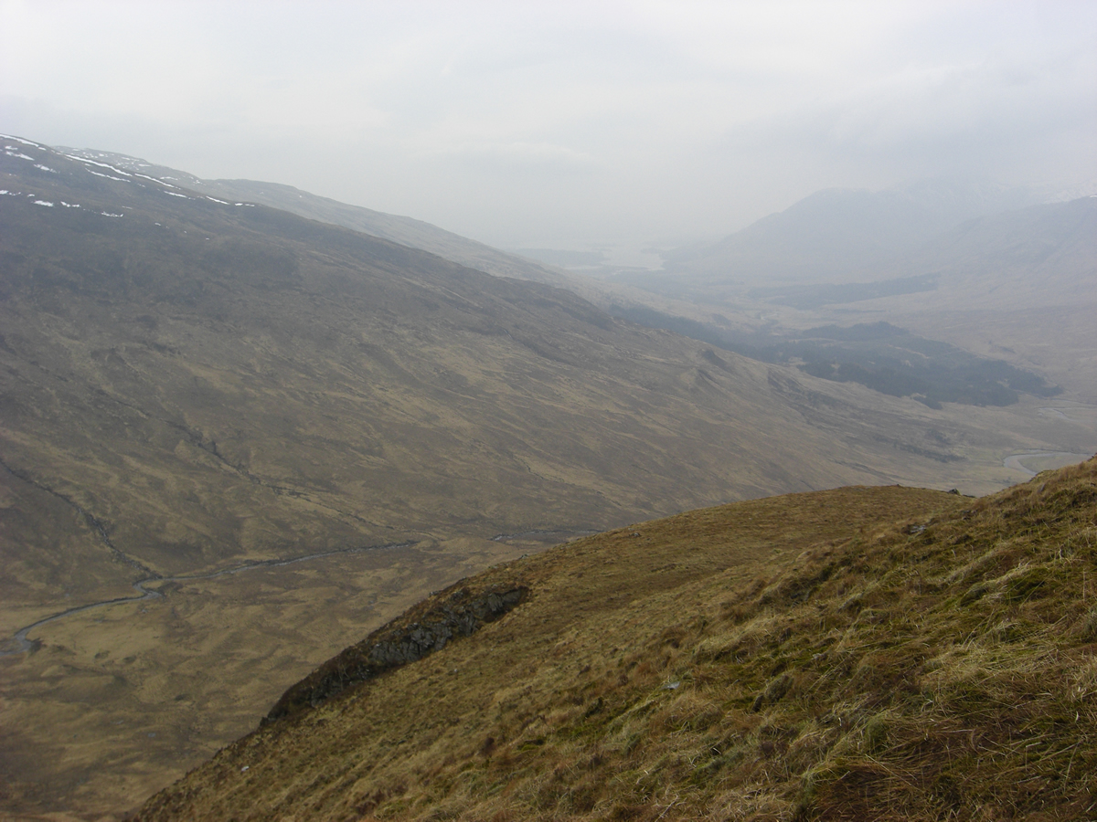
After a short break alongside the lochans, we made the summit approach over easy slopes towards the cairned summit, at 796m. Low misty clouds obscured distant mountains, which was rather a disappointment as it was obvious that one of the main features of Beinn Mhic Mhonaidh is its central locations, surrounded as it is by higher, more dramatic mountains, and, even with the limited visibility we had of these hills, it was obvious, that given clear weather the view from this summit must be quite spectacular.
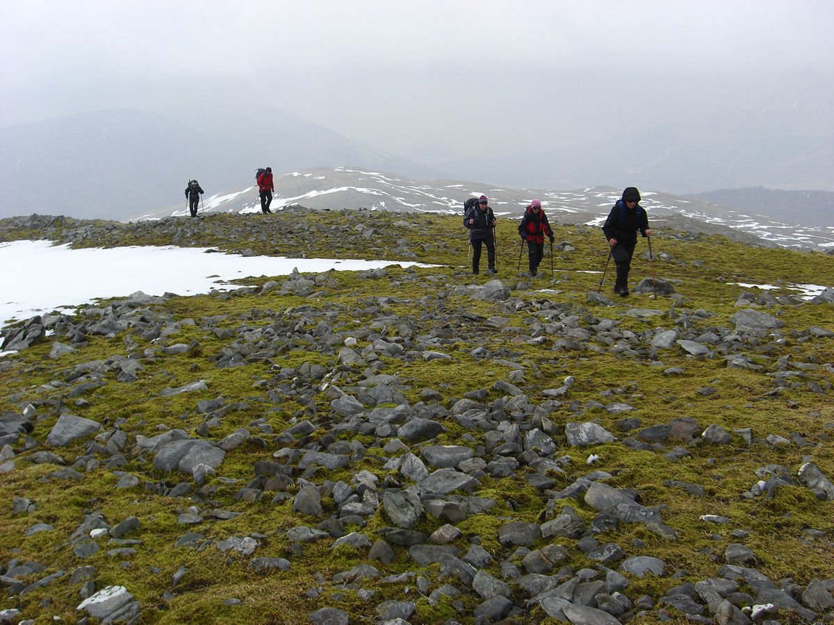
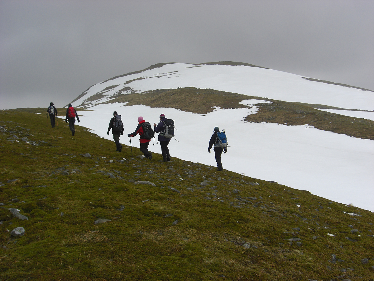
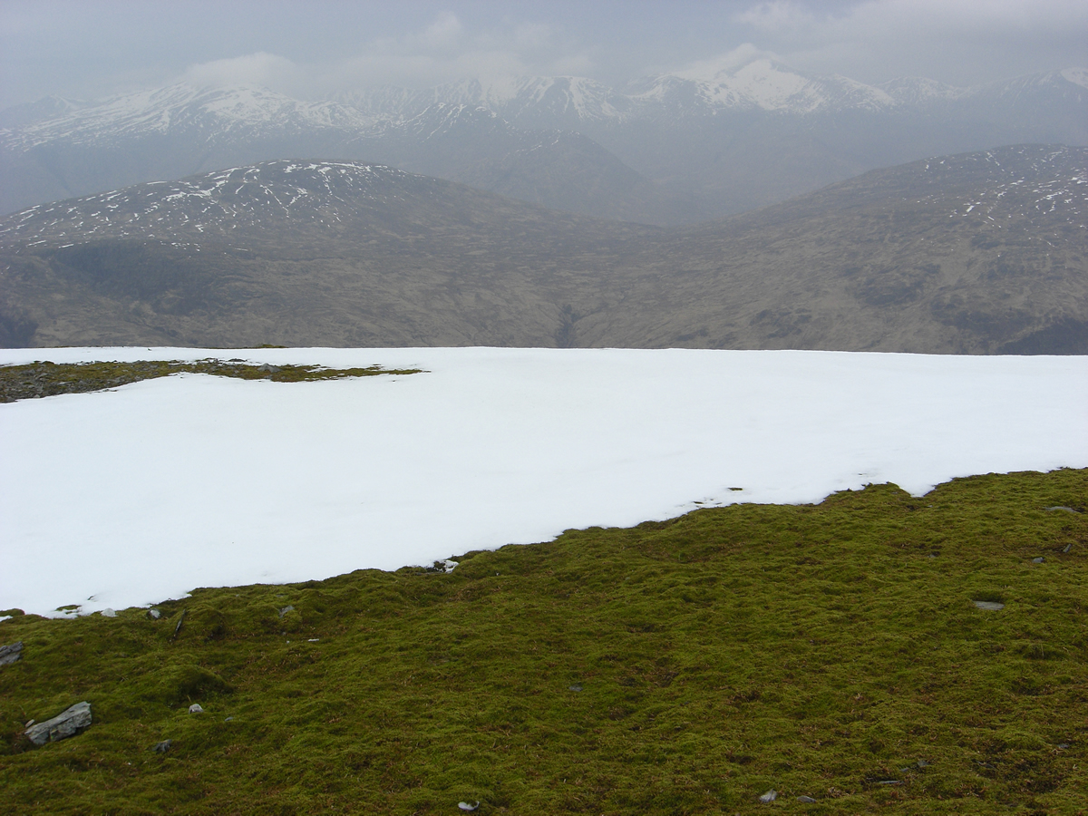
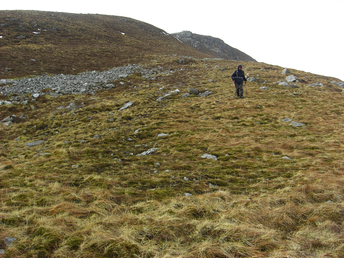
Departing the summit and descending the south west ridge, the views continued to impress as we looked directly down Glen Strae and could just make out the distant Loch Awe through the gloom. Around the 450m height, we dropped off the ridge and swung generally east over lower ground back towards the forest boundary from where we re-crossed the high stile and retraced our steps back down the forest track towards our start point and the falls at Eas Urchaidh.
Great day, thanks Alan.
Beinn Mhic Mhonaidh - Photo Gallery
Click any photo to activate large screen photo gallery