Beinn Challuim(1025m)
Saturday 22nd March 2014
11kms
6hrs
Having returned from a wonderful holiday visiting my son, his wife and two gorgeous grand-daughters in Melbourne where the most energetic thing I had done was walk along golden sands by blue seas in 30 plus degrees, the prospect of Beinn Challuim in winter conditions with a forecast of heavy snow and visibility below 100m sounded quite a challenge. But, nevertheless, one I was certainly looking forward to.
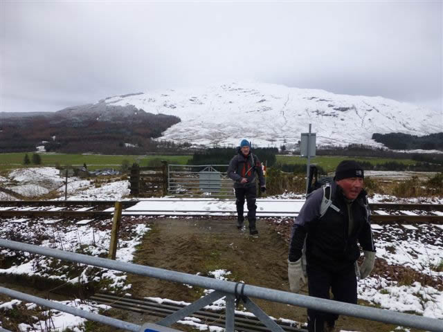
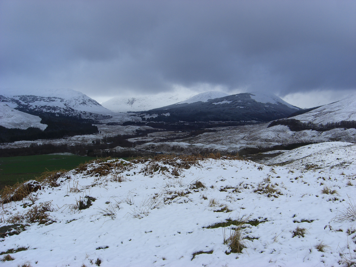
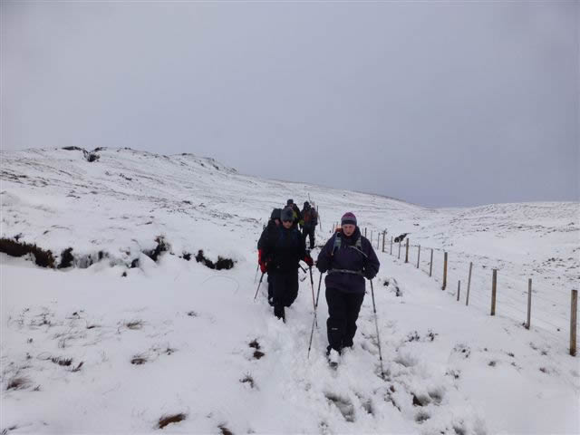
As we left the layby and headed off down the track towards Kirkton Farm the air was already moist with a heavy precipitation, and low cloud and mist hung over the surrounding hills; there was even a light covering of snow lying on the surface of the footbridge as we crossed over the River Fillan, and by the time we reached the level crossing over the WHR we were onto a snow covered hillside.
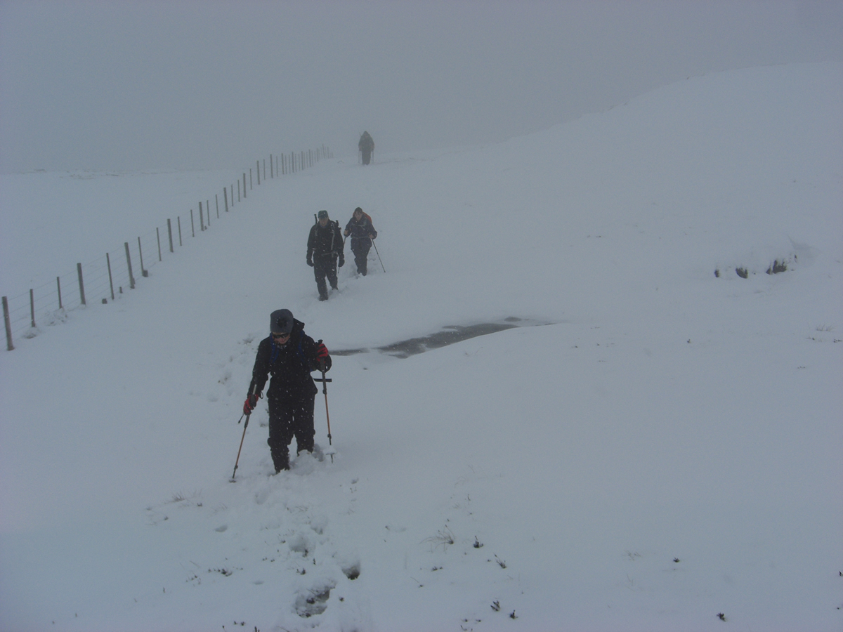
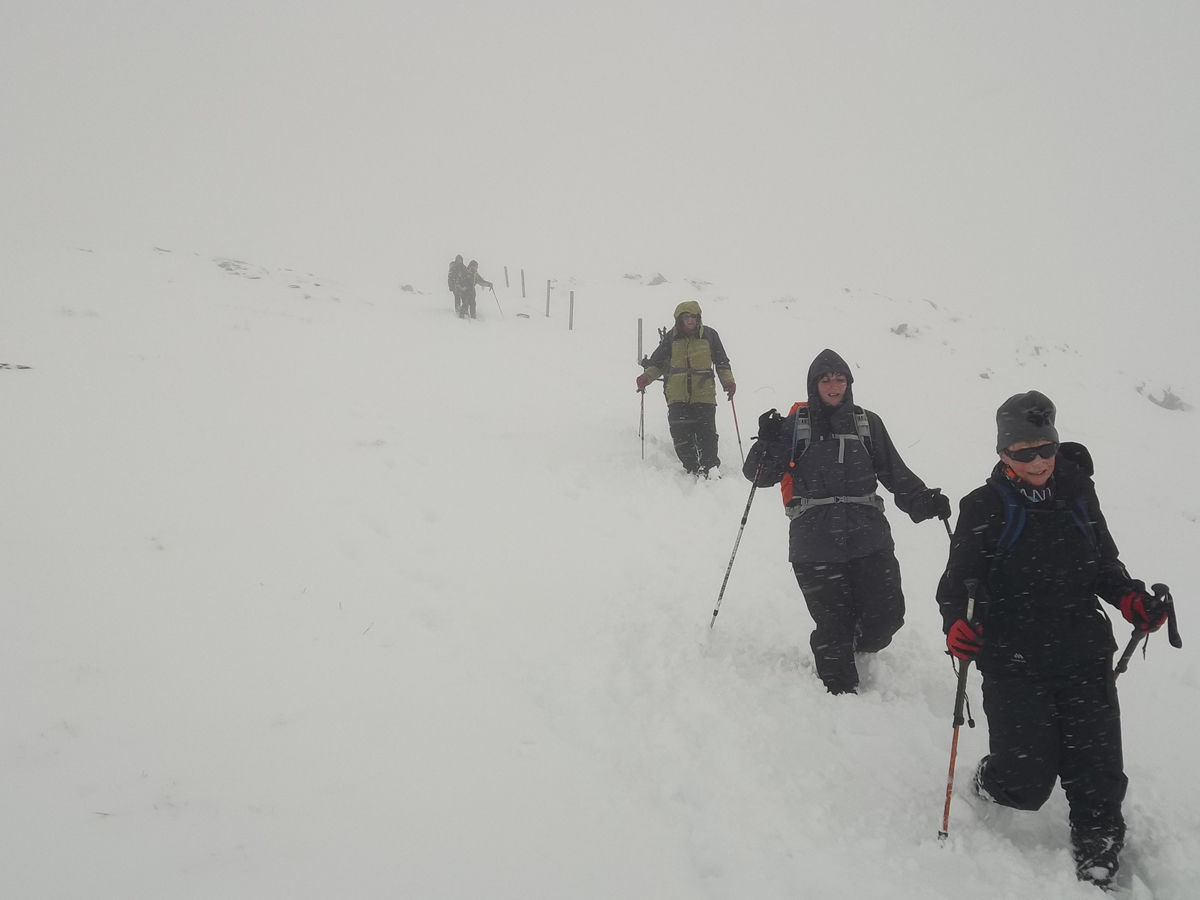
There is no definitive track over the hillside, so it was just a matter of trudging uphill, over rough ground and at times through deep snow as we followed the fenceline with its high stiles towards the knoll at the 688m height. Navigation 0n Beinn Challuim (or Ben Challum - depending on which map you are using, or your individual preference) is very straightforward as a series of deer fences line the most direct route, albeit, as the visibility worsened prudence dictated that a close check was maintained on our whereabouts, just to be on the safe side.
As we progressed, a couple of walkers appeared out of the mist directly ahead of us as they descended the hillside. A quick chat and they forewarned us that the visibility on the higher slopes was almost zero, they themselves having turned back from the southern most top having failed to find a safe route across the cleft separating the southern top from the main ridge to the summit,
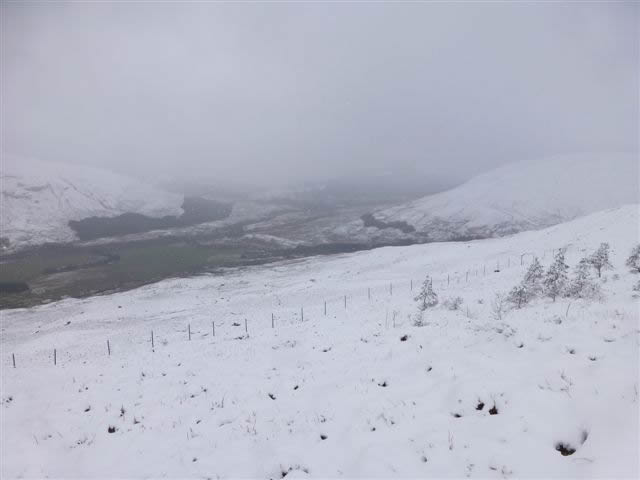
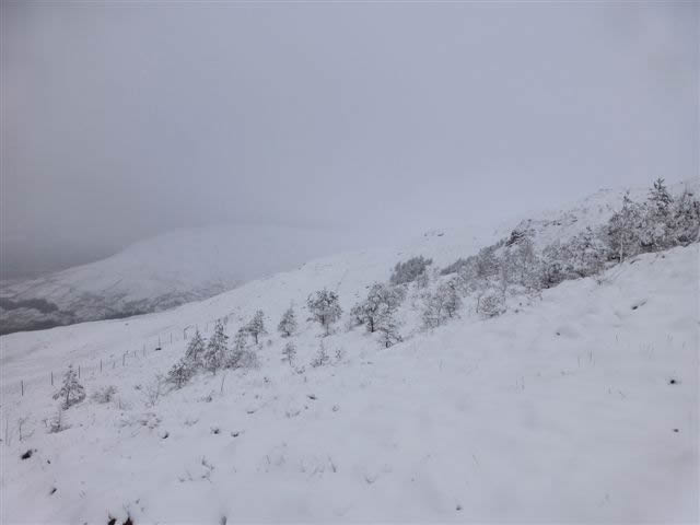
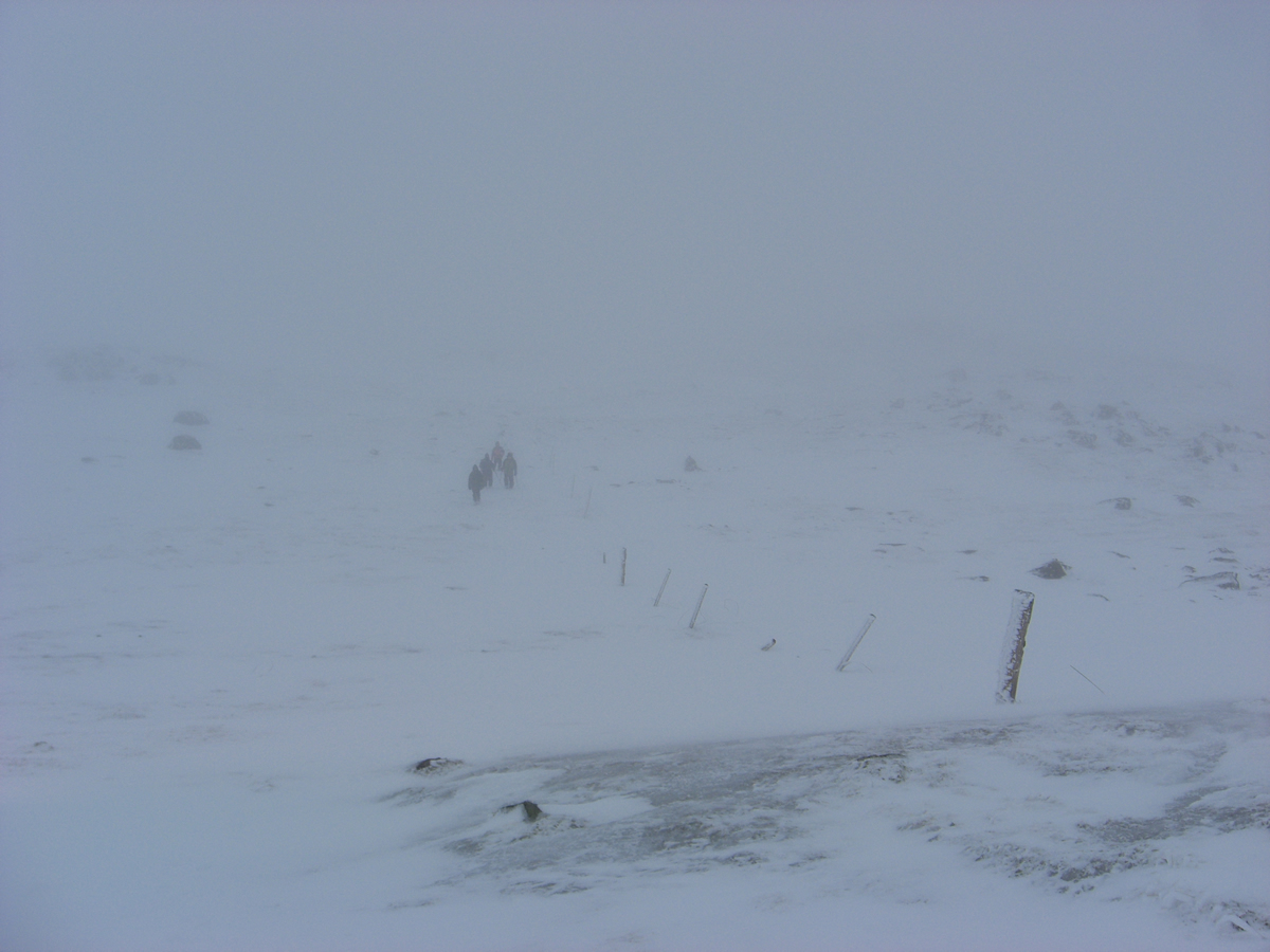
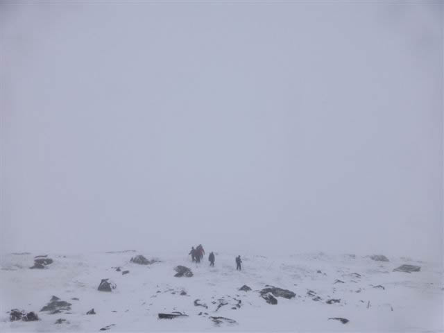
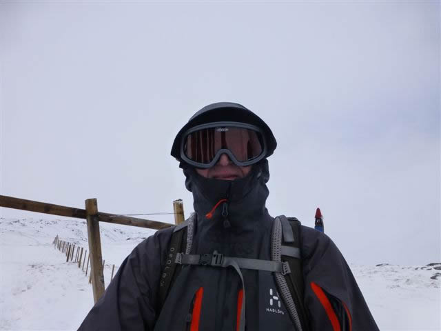
We crested the 688m knoll and made the short descent before starting the climb up steeper slopes towards the 998m southern top. As we climbed, conditions underfoot changed from quite deep snow covering wet and often boggy ground, to wind blown rocks with a lesser covering of snow and more of a layer of crystallized ice covering the surface. And, as we had been warned of, visibility dropped even further as a cold blustery wind blew into our faces.
Just short of the southern top, we met a second pair of walkers, who like the previous ones, warned us of the conditions, and that they had also been unsuccessful in making the traverse between the ridges. I was getting the impression that my 60th Munro was going to have to wait until another day!
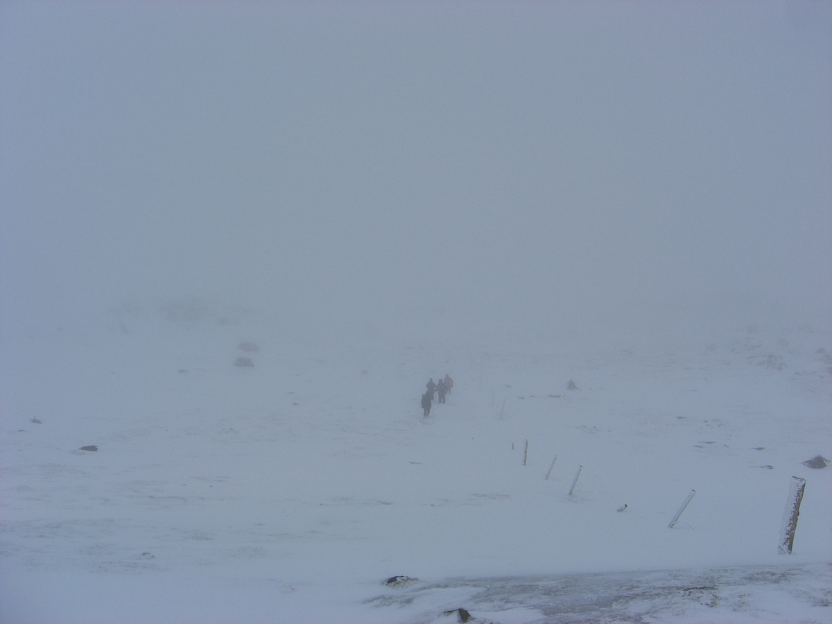
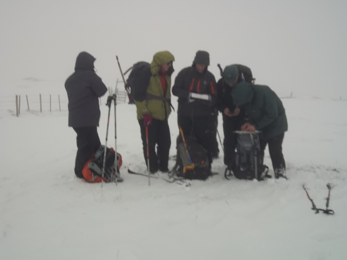
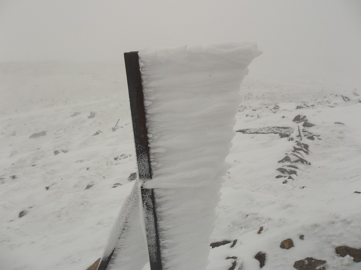
Visibility dropped over the final few hundred metres towards the 998m top, so much so that we resorted to walking on compass bearings until we gained the top, at which point the general consensus was that, given the visibility, and the deteriorating weather conditions, we should take a quick break and then make our return downhill, leaving the summit for another day.
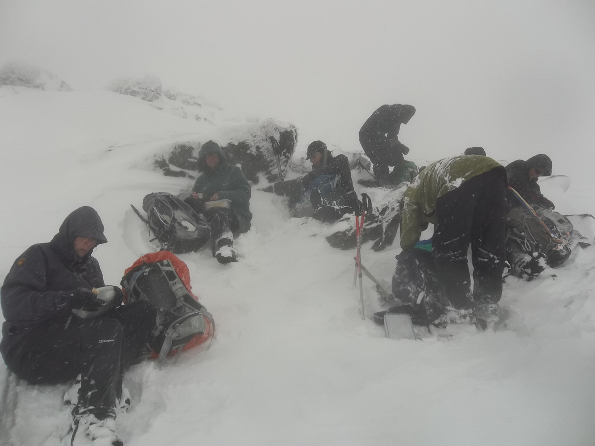
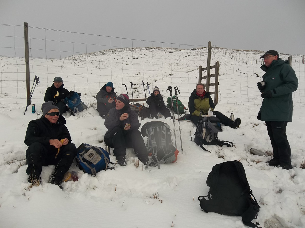
We dropped just to the east of the top and found a reasonably sheltered spot out of the strongest of the wind and had ourselves a very quick break before rising again, at which point the visibility seemed even worse than it had 20 minutes or so earlier, and so it was compass work once again to see us safely off the higher tops and back down to regain the fenceline and the 688m knoll.
As we broke below the cloud and mist, the final descent was under quite pleasant conditions compared with earlier in the day and we took the opportunity to stop on the lower slopes for a slightly more relaxed and longer break that we had had at the top. A final, wet and very boggy stretch of hillside soon saw us back at Kirkton Farm and making our way back towards our cars at the end of a good, if somewhat frustrating walk, having been denied the final summit cairn. Ah well, another day!
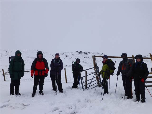
Great company, and good to be back on the hills again. Thanks everyone.
Beinn Challuim - Photo Gallery
Click any photo to activate large screen photo gallery