Water of Minnoch
Thursday 2nd October 2025
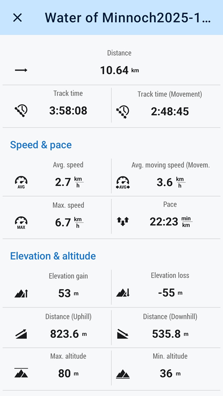
12kms
4hrs
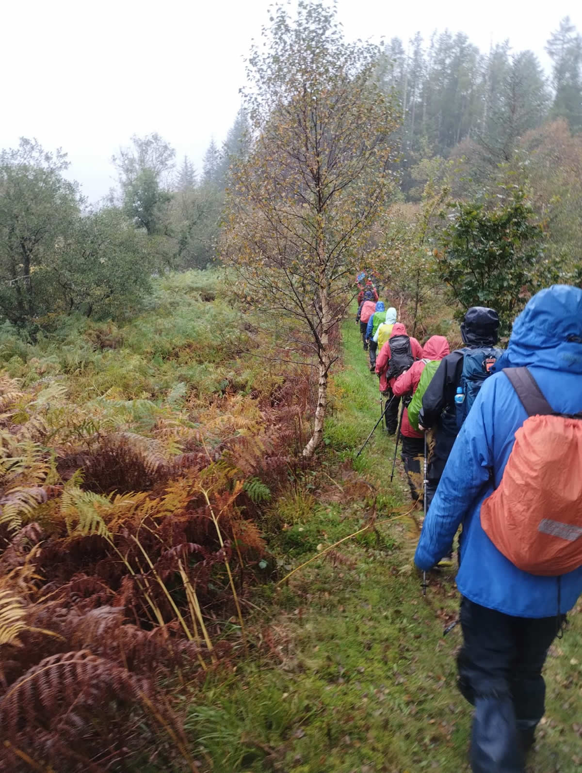
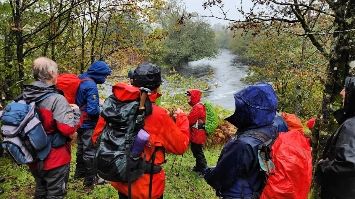
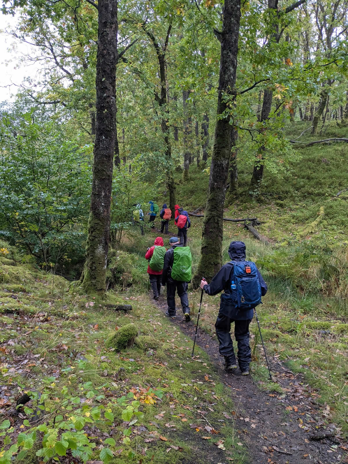
The third and final day of our stay in Newton Stewart and it was still raining, and quite heavy rain at that. So, once again we opted for a low level walk, just as wet as a hill walk, but not quite as taxing. The Water of Minnoch Circuit was chosen as this would provide a circular walk taking in three rivers and a stretch of the Southern Upland Way. Nice I thought, the Southern Upland Way conjuring up a mental image of a fine track or path along the banks of the peaceful rivers along which to wander. What a wild imagination I have at times! And, to further darken my day I realised as we drove to the start point at Glen Trool Visitor Centre that for the first time ever I had done the unthinkable and left both my phone and, most importantly, my map back in my lodge. Disaster. I knew we would be a large group with multiple capable leaders whom I could follow, but just being without a map was so alien to me it completely through me for the rest of the day.
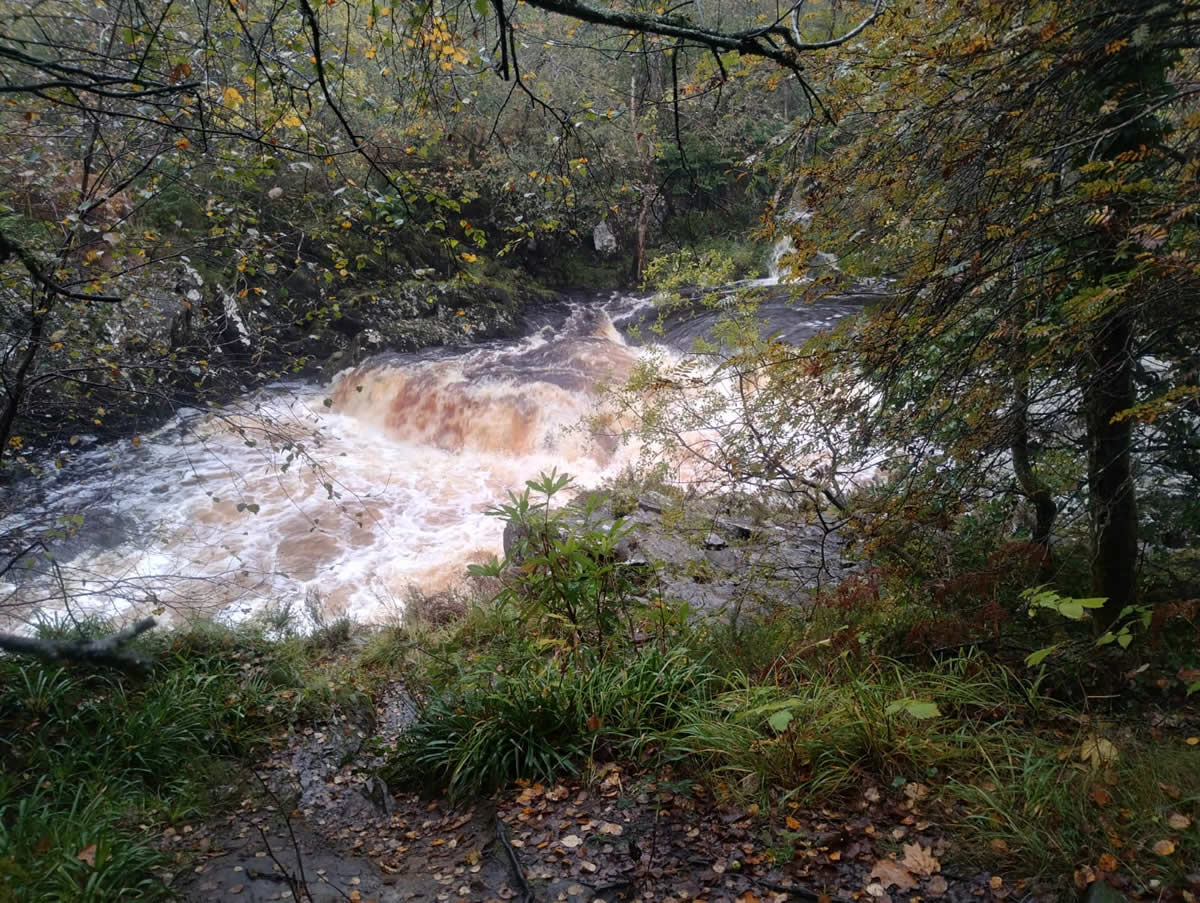
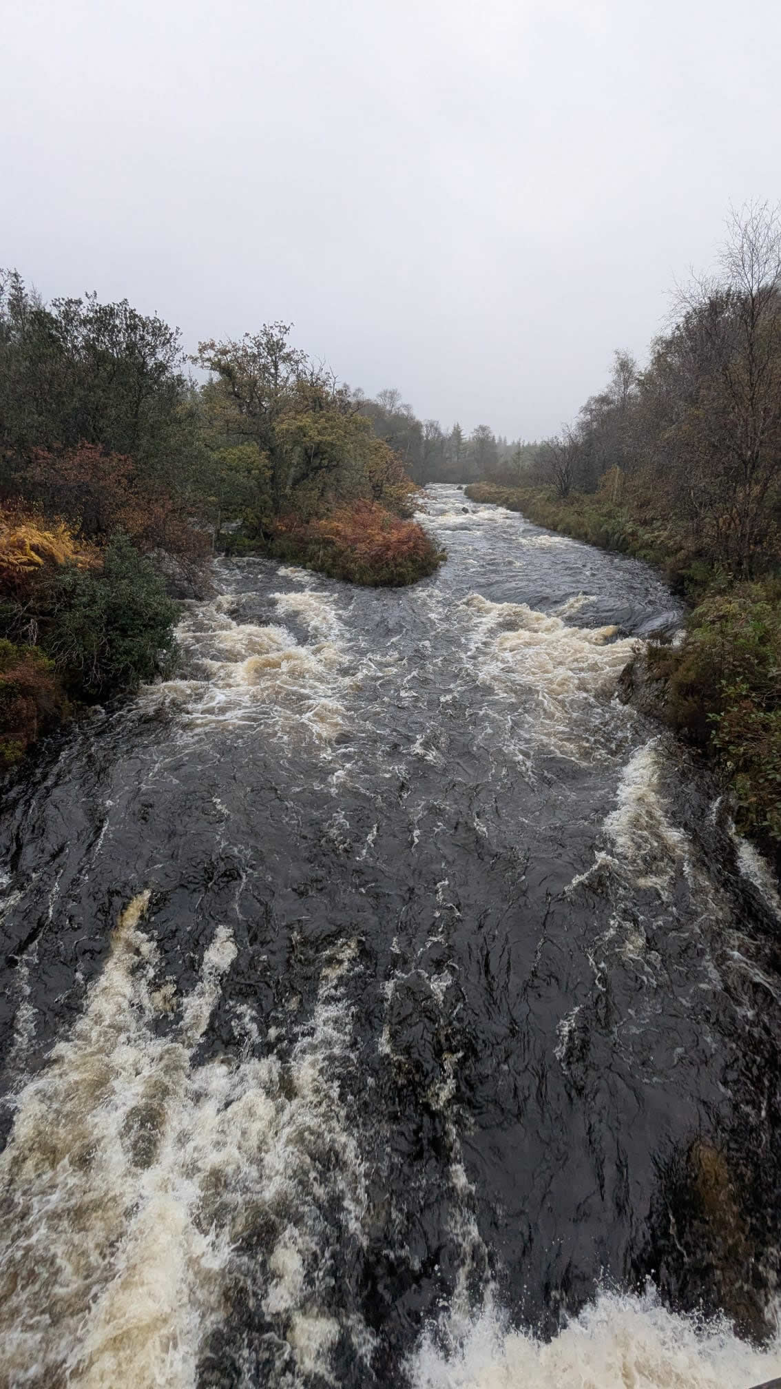
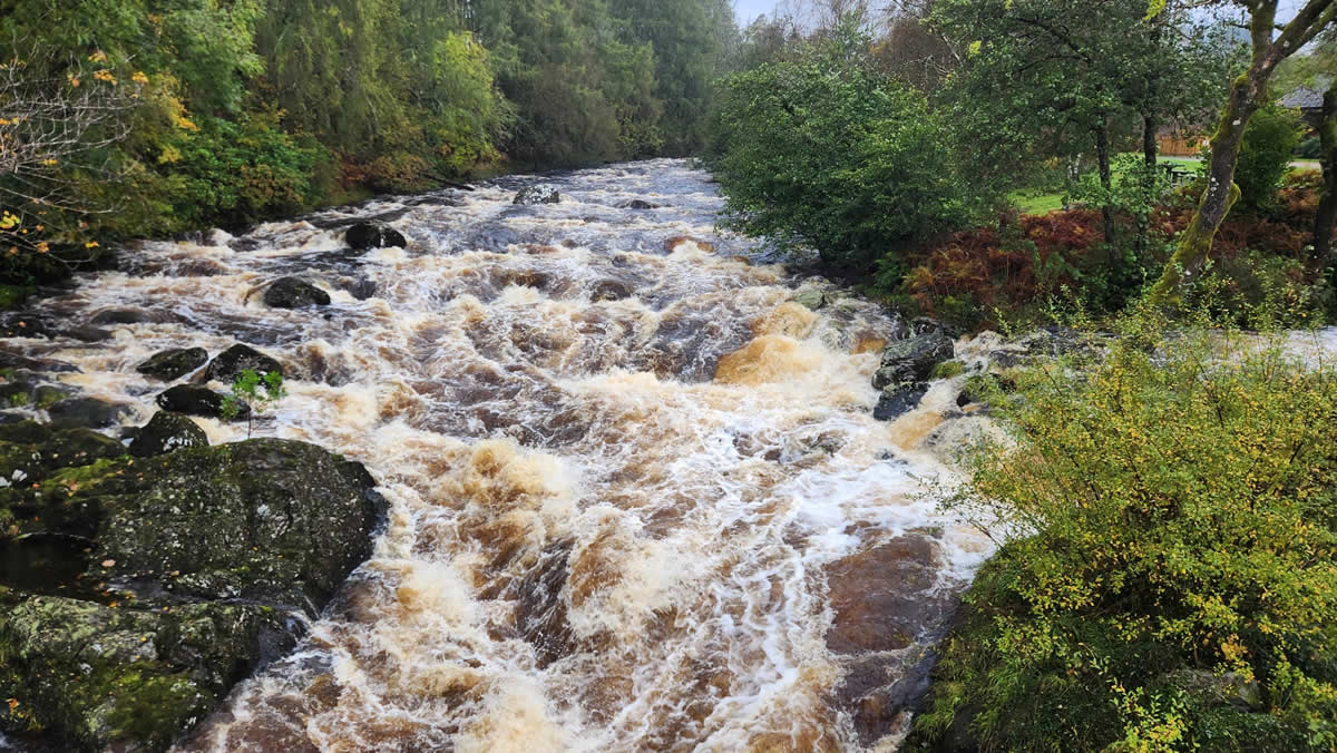
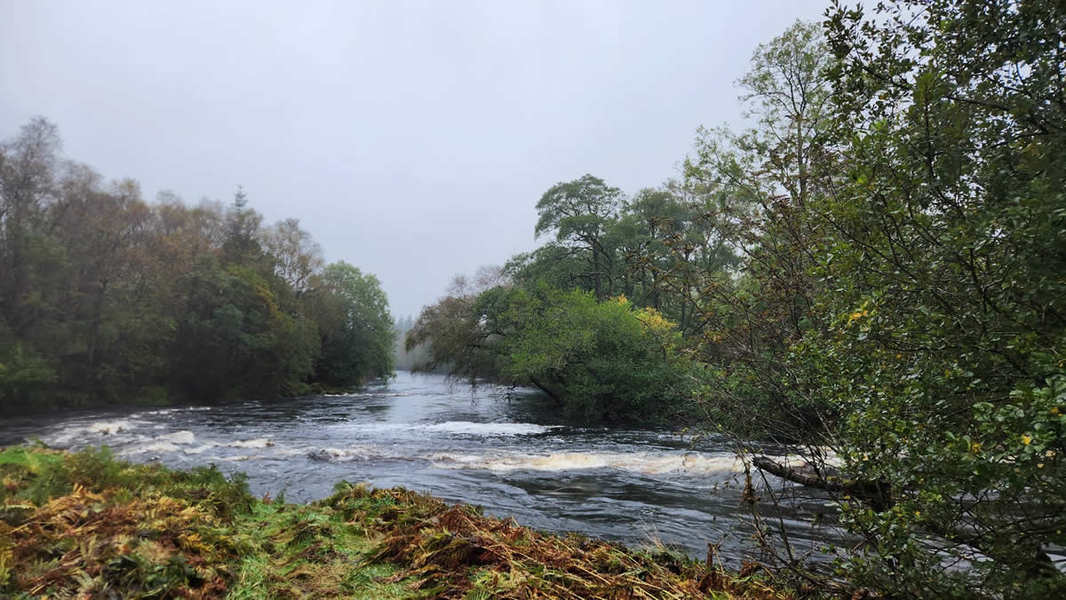
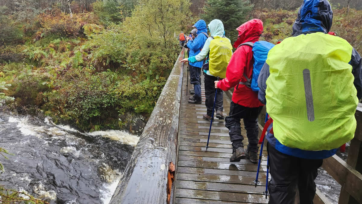
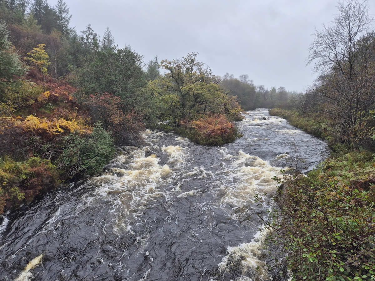
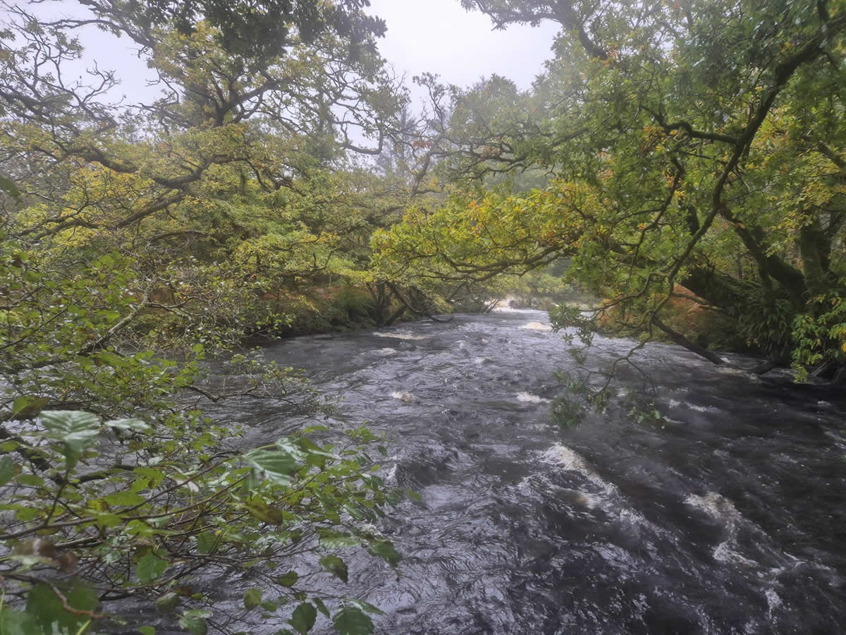
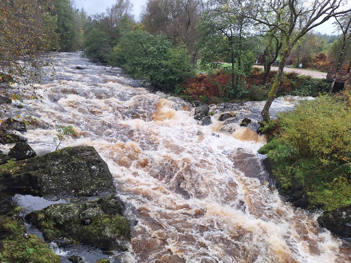
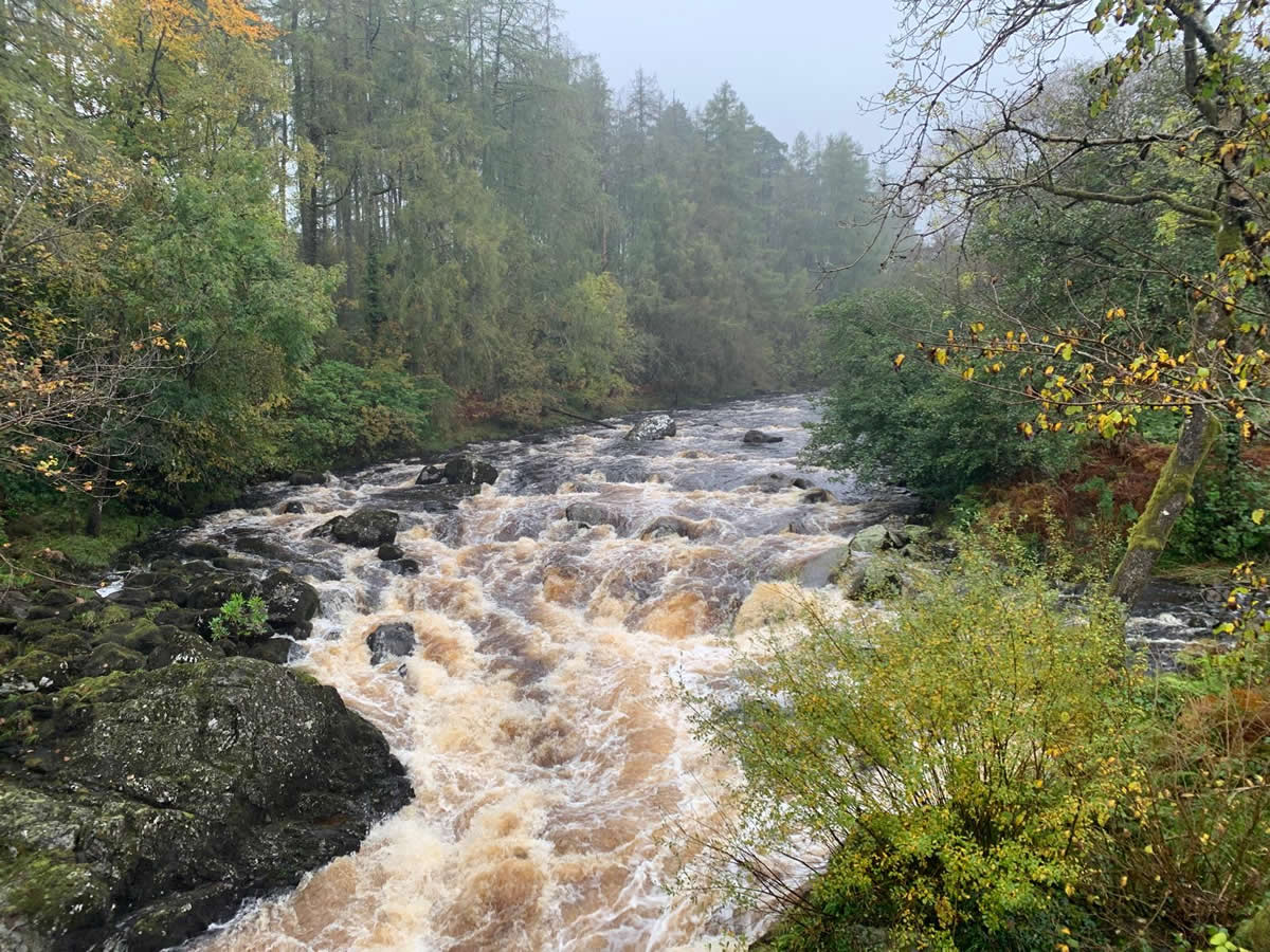
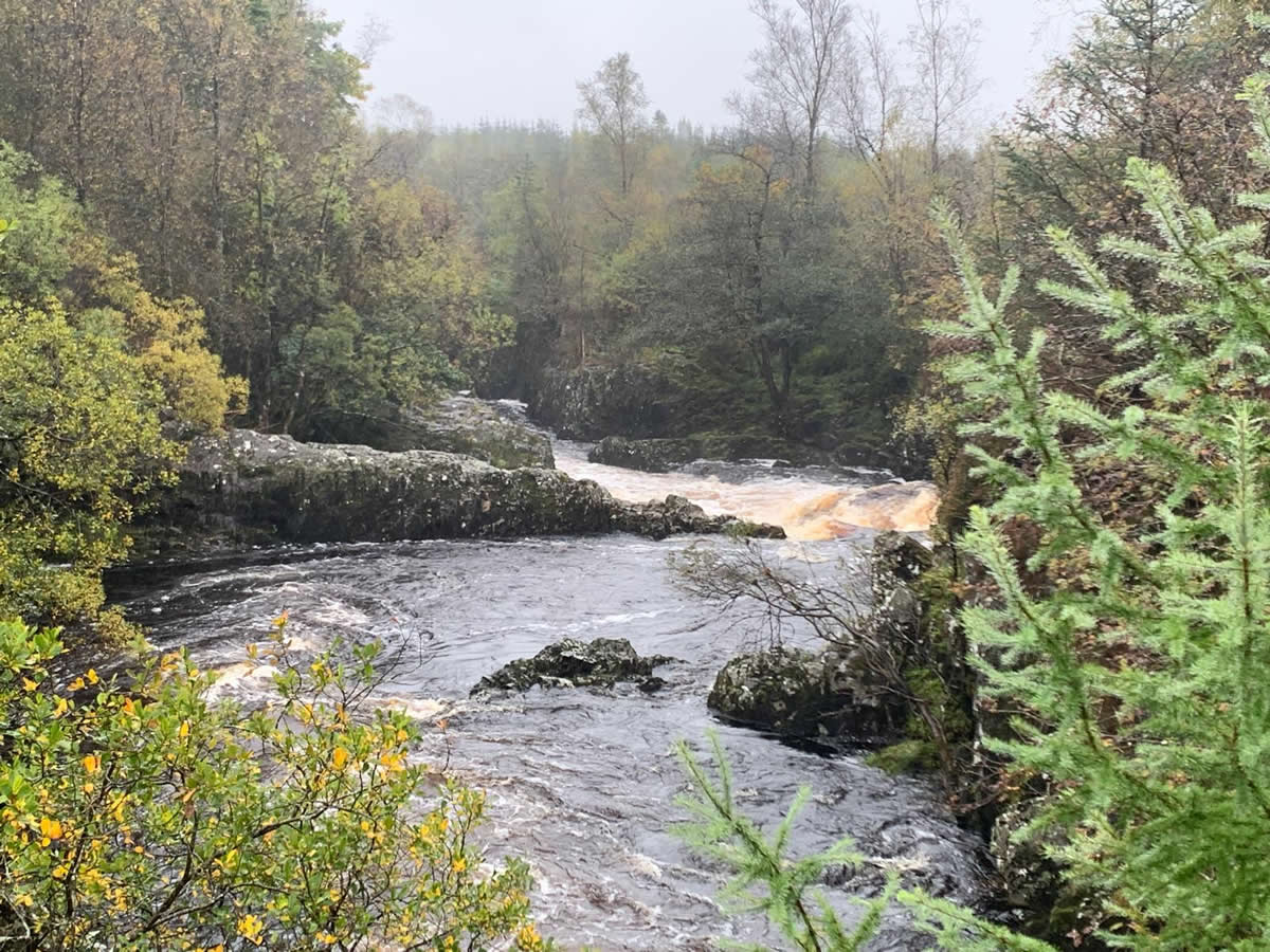
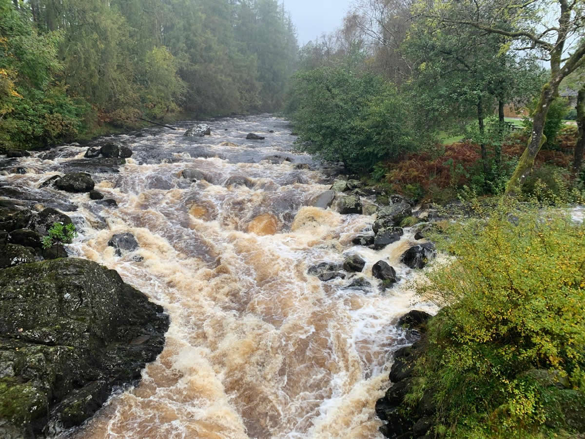
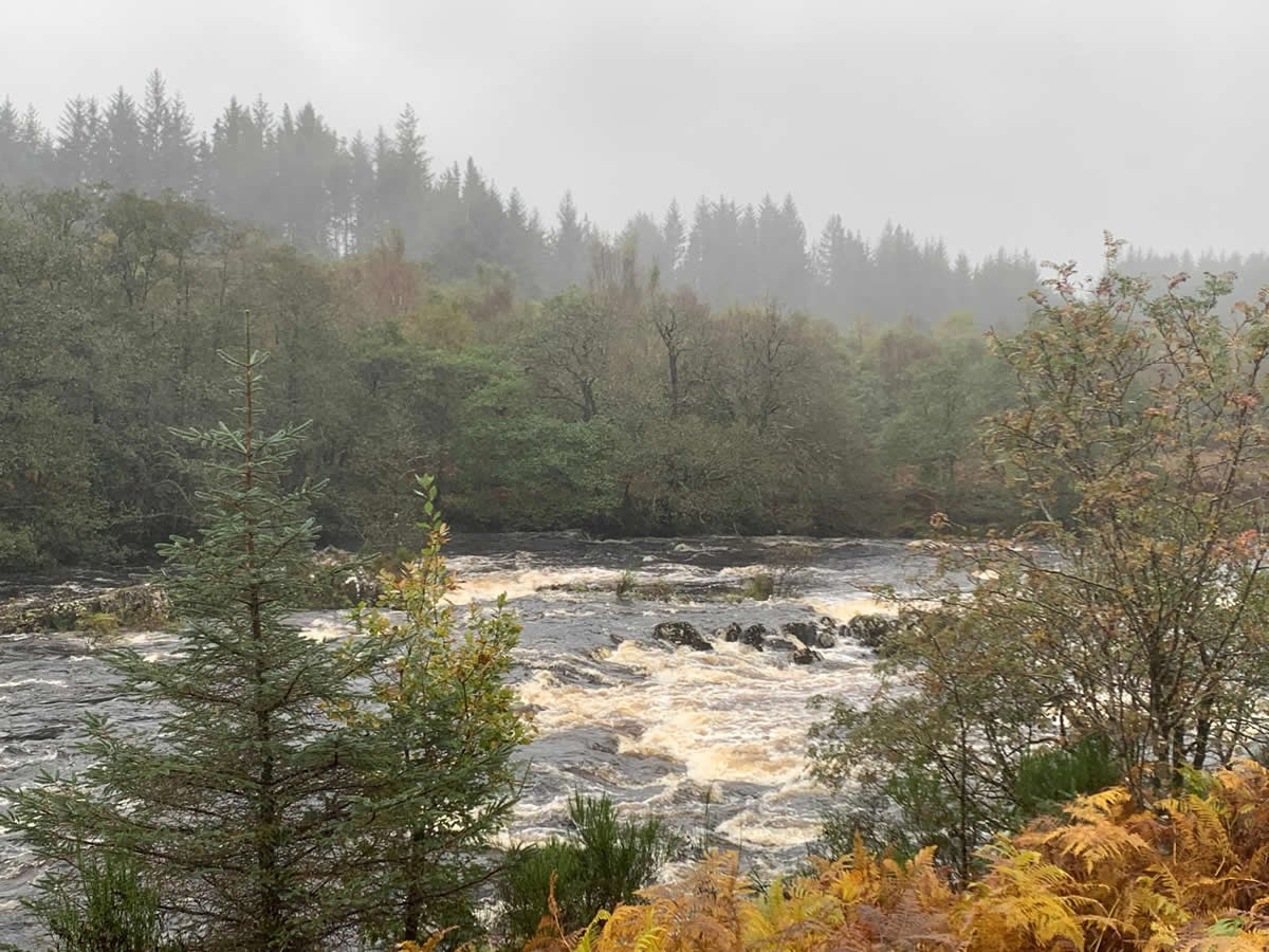
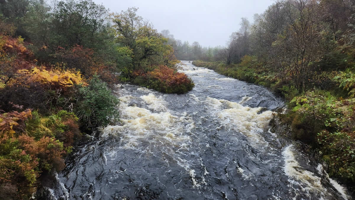
Anyway, on with the walk which was to prove a very interesting one, which can be summed in a few sentences. It was wet. The path was narrow, wet and very nearly flooded at points. The rivers were spectacular as the volume of water turned them into fast flowing torrents that tumbled over rocks and through narrows in a series of spectacular rapids.
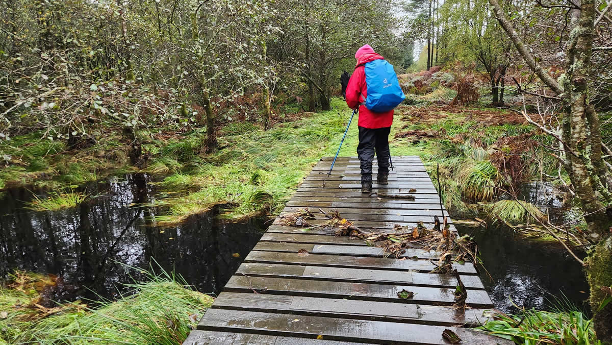
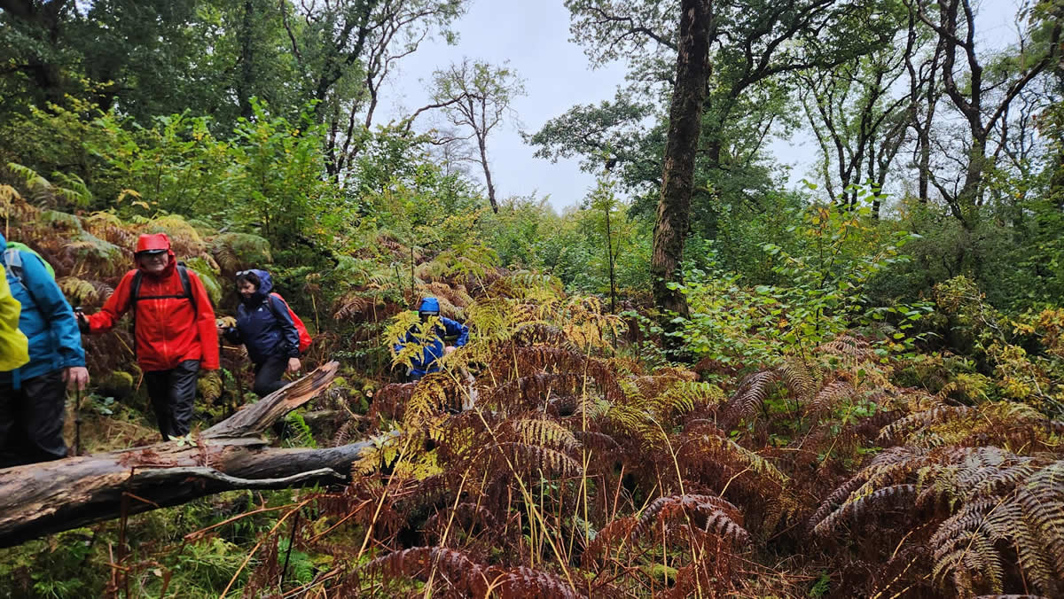
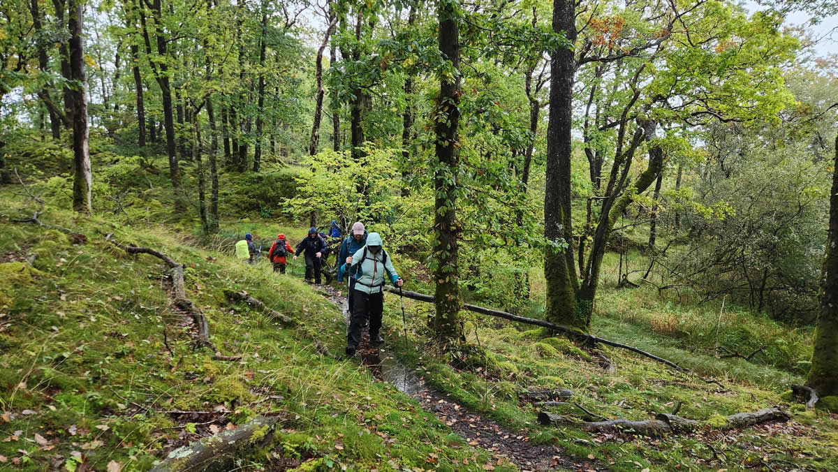
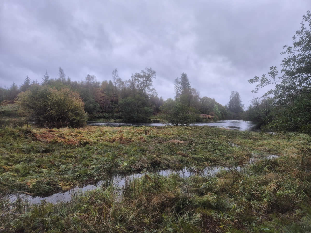
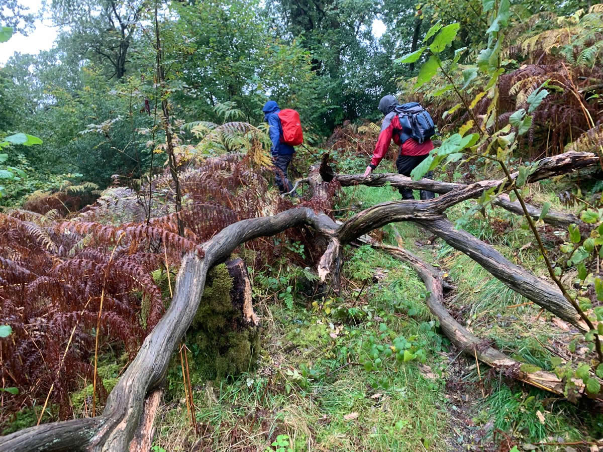
As for my imagined super pathway that was the Southern Upland Way; well, for this section at least, it was a trudge through rough undergrowth and scrub with some sections on the verge of being swamped by the rising waters of the river alongside which the path ran. For us with daypacks on, it was an easy enough trudge over the waterlogged ground and over some fallen trees, but I would not like to have been a long-distance walker with a heavy pack on my back tackling this section of the way under such conditions as we had today.
Without my map I was at a loss as to where we were or what rivers we were alongside at any one point of our walk, so thanks to Mike for keeping me enlightened as to our progress, and to supplying the gpx track and statistics for this report. And, to end on a lighter point, as I studied the track once I had downloaded it I noticed a rather quaint name for an area which we passed by, “Auld Wife’s Stank”, not exactly what one would call PC in this age of woke. The only other time I have seen stank in use is Stank Glen on the Ben Ledi circuit, so Google was brought into play and Google tells me, “Stank comes from the old French word 'estanc' meaning pond or lake. The water creates pools as it winds slowly through the bogs and the glen”. Just about describes the day.
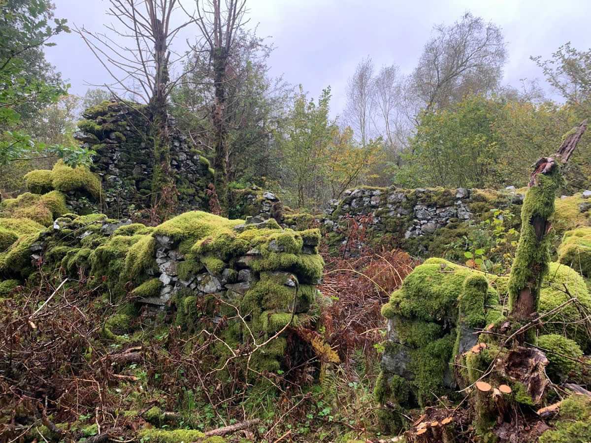
Thanks everyone a very interesting walk with some spectacular river scenes and amazing woodlands.
Photo Gallery
Click the buttons to select photo size.