Maol an Fheidh(591m)
Thursday 19th December 2024
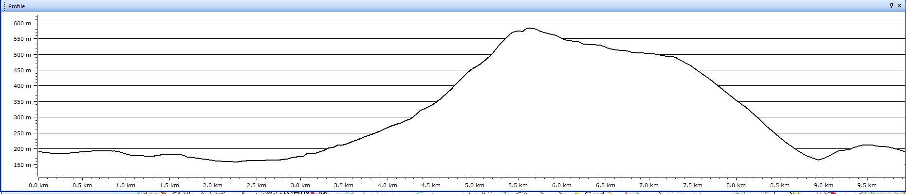
10kms
5hrs

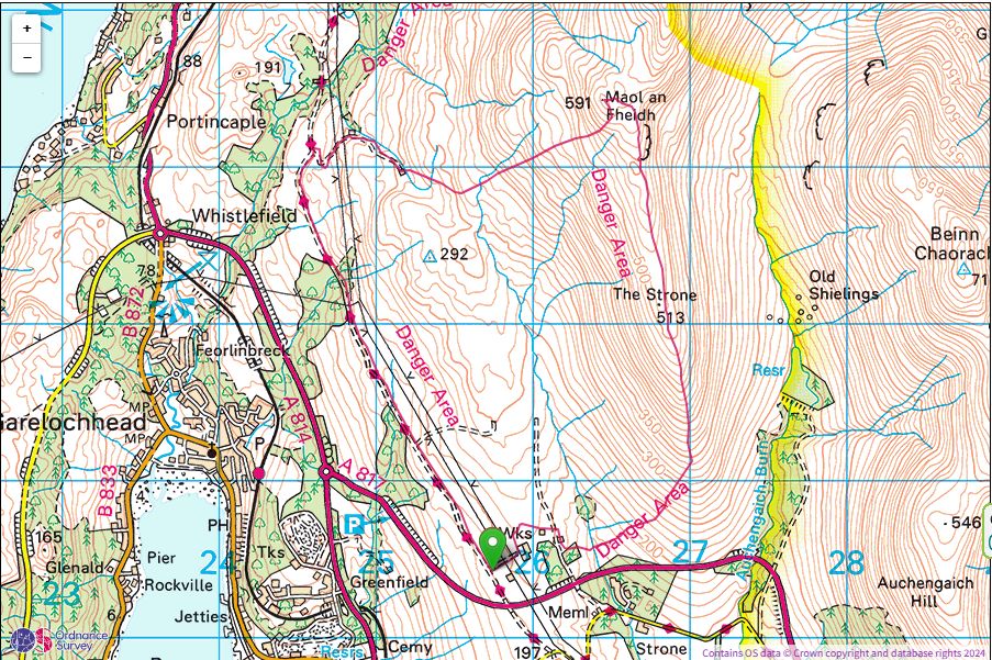
There are many reason why you may want to climb a particular hill, and, likewise, probably just as many reasons as to why you may never have climbed a specific hill. Trig Points can have an almost magnetic attraction for walkers who are drawn to them wherever they may be. One such Trig Point lies almost in the centre of the MoD firing ranges on the north side of Glen Fruin. Not a particularly high elevation, at only 292 metres, but, that magnetic attraction is still there. So much so that Mike was drawn to it a week or so ago on a day when the ranges were inactive and free to wander.
Having found it, he was keen to share his experience, and so today Ian and I joined him to revisit this unusual Trig Point.
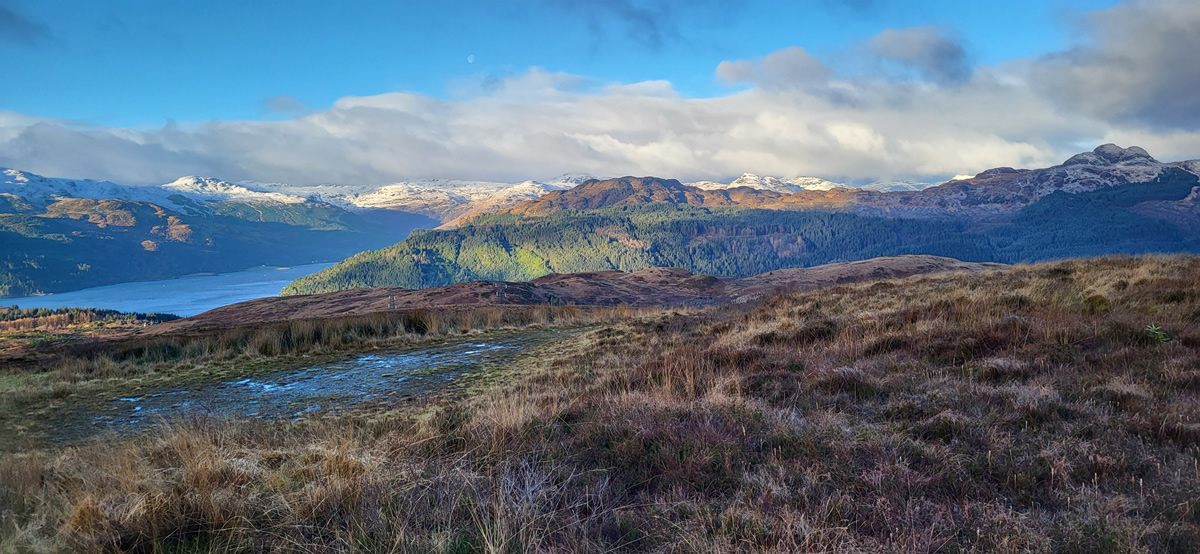
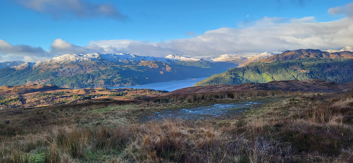
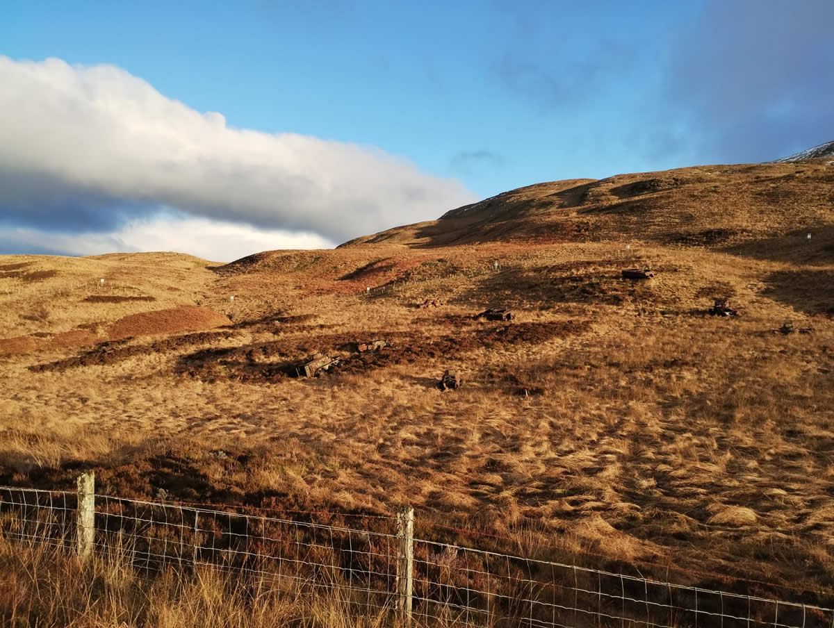
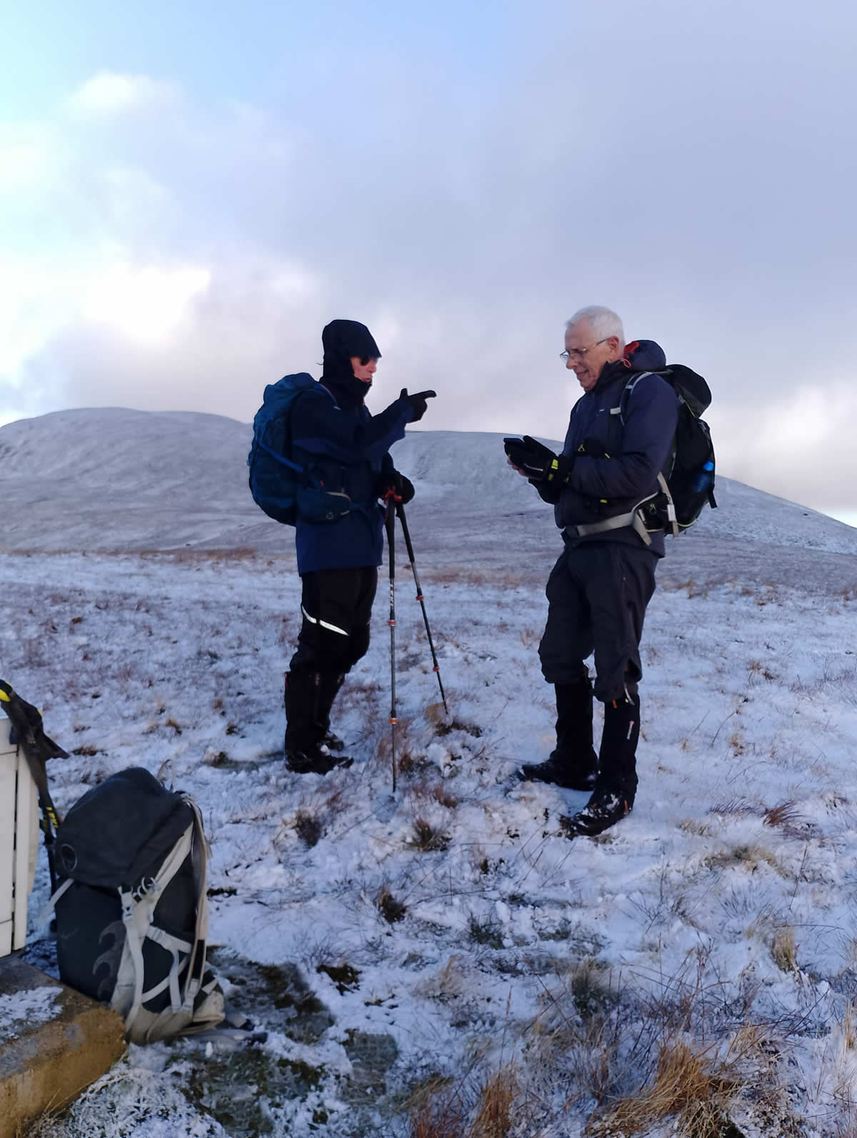
Leaving the parking area at the head of The Yankee Road we trod the tarmac surface for about 3kms or so, treading carefully at some points as patches of ice were awaiting to upend the unwary, until we reached a rough gravel path leading uphill away from the Yankee Road and deeper into the range area. We had a short break along the track beside an old range building which offered us shelter from an icy cold wind that was helping to keep the temperature below zero, as was evidenced by the snowline that we could see on the higher hills around us.
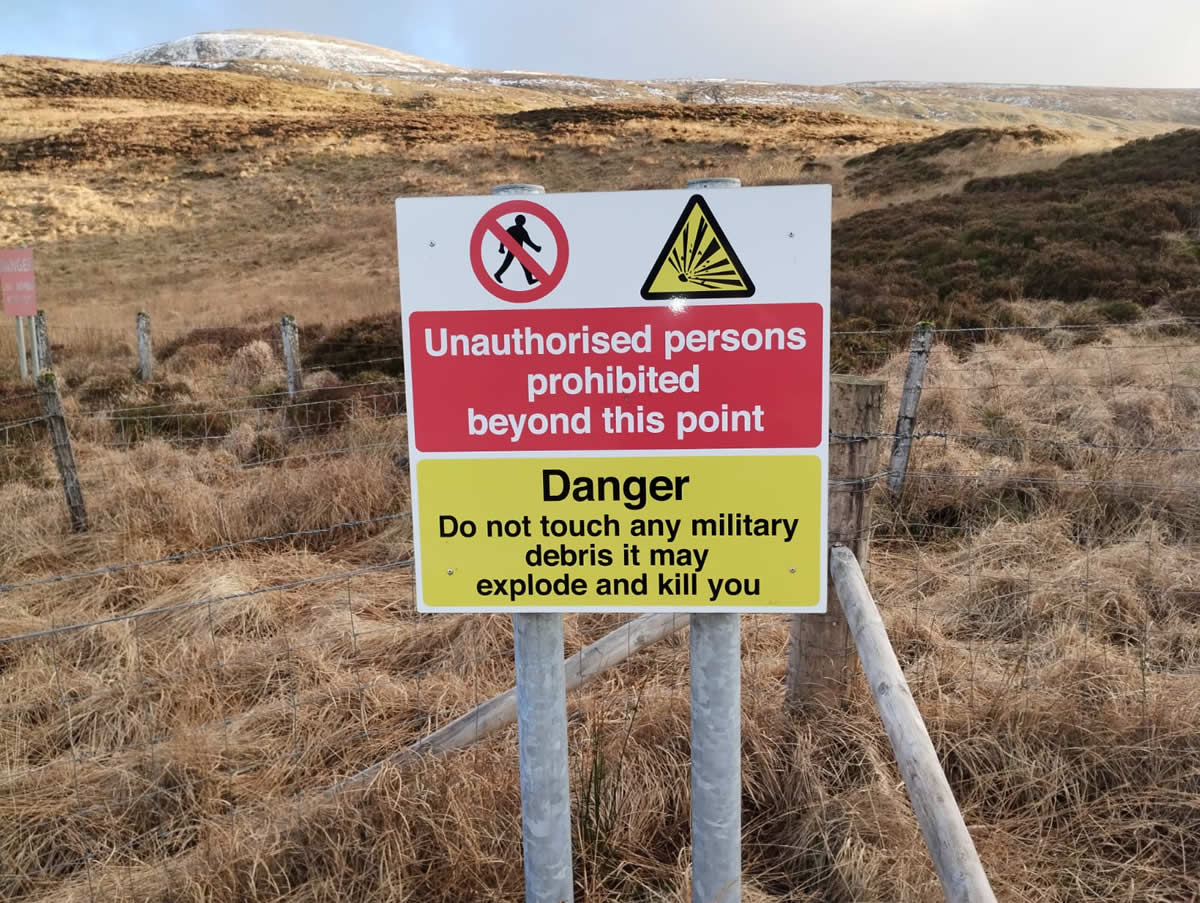
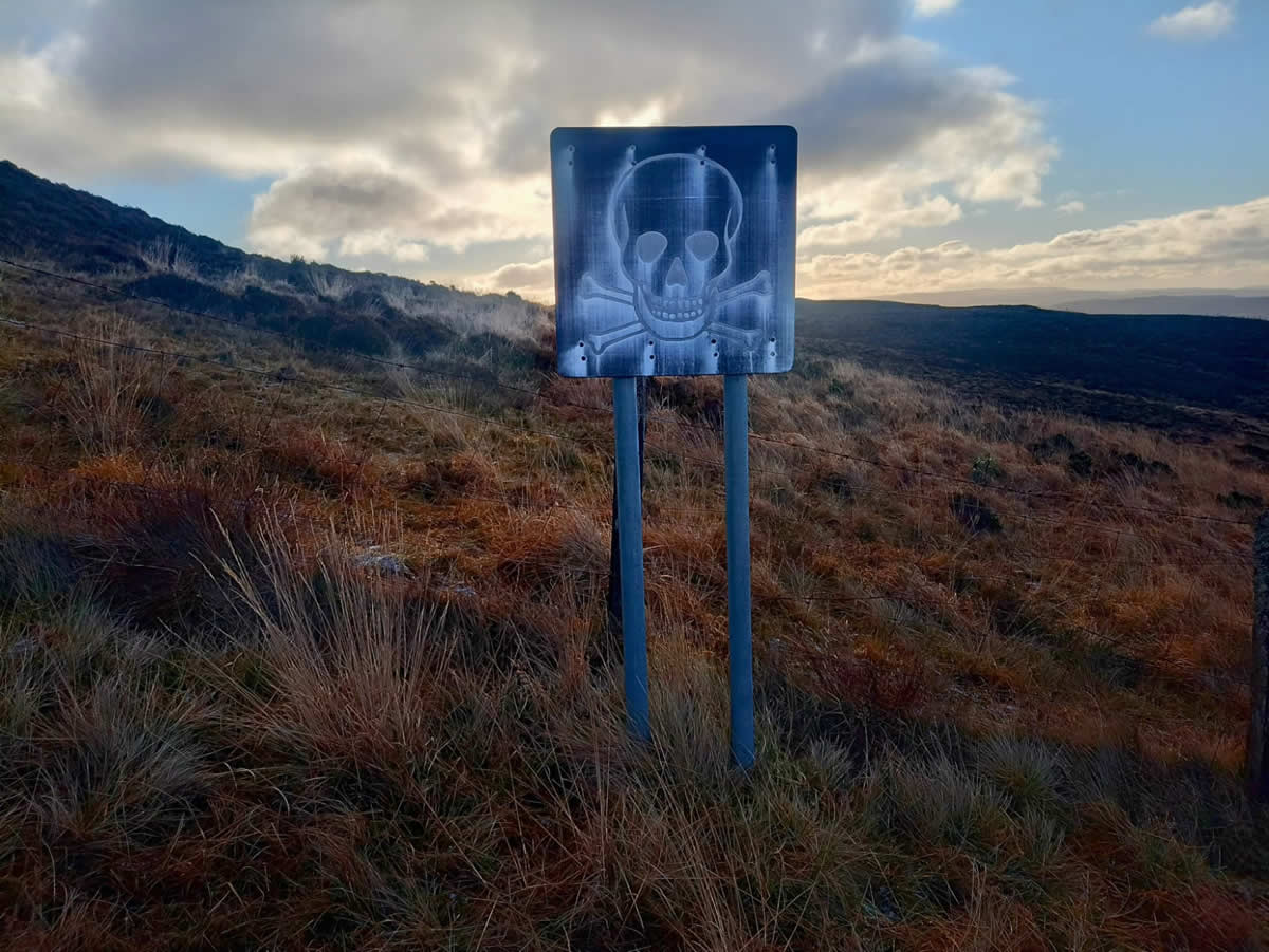
The gravel track ended at a hard standing alongside a fenced off area of the ranges were a series of notices warned us of the dangers of entering the enclosed area, which, of course, we dutifully obeyed. From this point on the hill, we could simple walk south along the fence line for about 500 metres to reach our objective, the Trig Point at the 292m height on the hillside. However!
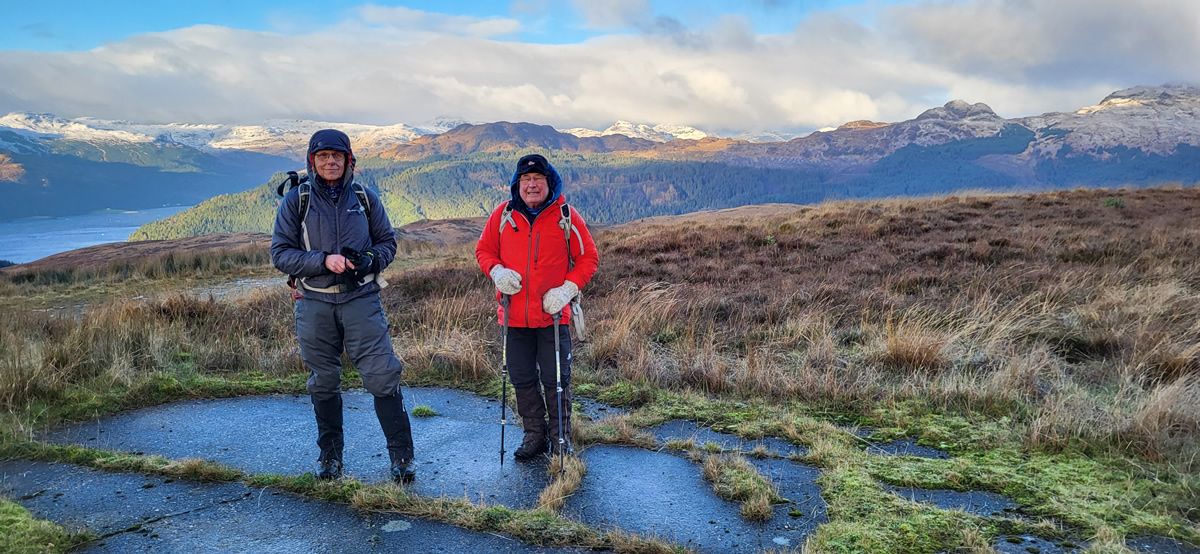
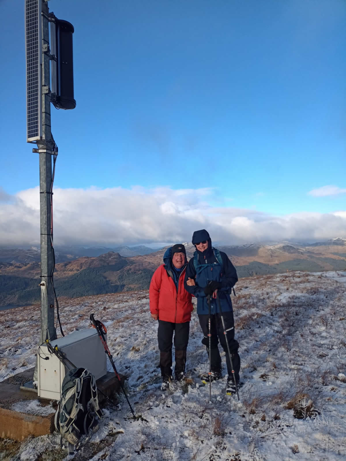
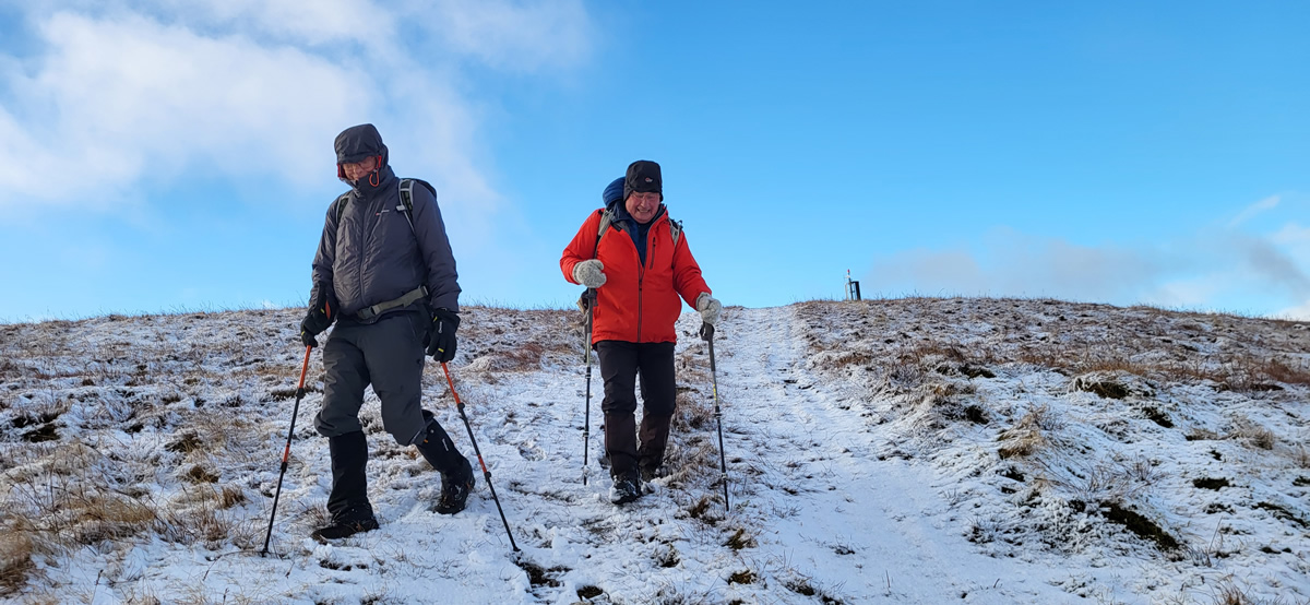
However, from the hard standing, the fence line also ran east, via a short dog-leg, to the 591m high Maol an Fheidh, a top we have bypassed on a number of occasions enroute from The Strone to Beinn A’Mhanaich, but to which we had never actually diverting to step foot on the actual summit. A short discussion then ensued as to whether this route through the ranges may offer an alternative route to Beinn A’Mhanaich, and so it was decided to follow the fence line east a little to see what the ground was like underfoot, before we continued on to the Trig Point. Anyway, just a bit further, okay, just a bit further, oh, just a bit more, you get the drift, before long it was obvious, we were not going to turn back and head for the Trig Point, Maol an Fheidh was now just ahead and had our full attention. And well worth it it was too. A fine little hill giving some lovely views all around and even with a fine covering of snow, just enough to qualify for an easy winters walk.
Having come this far up the hillside, the Trig Point was well forgotten and would have to wait for another day, Beinn A’Mhanaich was well within reach although we opted to miss it out for today and simply made our return via The Strone and a very boggy entrance back into the main range area and our starting point.
Another fine day in the hills despite not meeting our initial objective, the Trig Point, but confirming yet another approach to what is becoming a go to hill, Beinn A’Mhanaich.
Great day, thanks Mike and Ian.
Photo Gallery
Click the buttons to select photo size.