Ruadh Stac Beag(896m)
Thursday 27th May 2021
16.5kms
8hrs 30mins
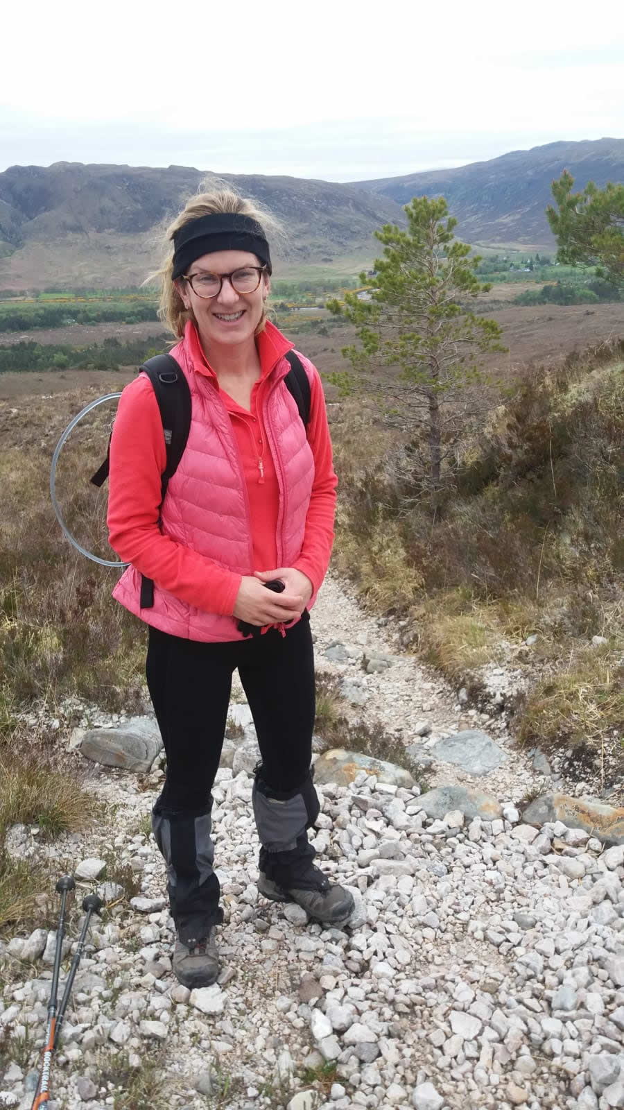
Another fine contribution from Trish on her and Alex's day on Ruadh Stac Beag - Thanks Trish
As Lesley had already done this hill I asked Alex my daughter if she’d like to join me. How fortuitous was the archive photo and report that appeared on the website just before we ventured north, so we could read all the report and study the photos, and prayed we would not have low cloud on top! We set off in the wee van on Wednesday afternoon which is not a good time to travel – it took 2hrs 20 mins to get to Fort William. I had booked High Tea in the Priory Hotel in Beauly, which I can highly recommend, but the latest time available was 5.55pm so we were on a schedule.
We got to Kinlochewe and decided to park the van in the car park of the Beinn Eighe Visitor Centre, which is closed due to covid, so we had the whole space to ourselves. Perfect, as this was the start point for our walk. The evening was so light we went for a short walk at 10.30pm as a recce to the start of the Pony Track (our route up). The midges were active though, so we didn’t dawdle.
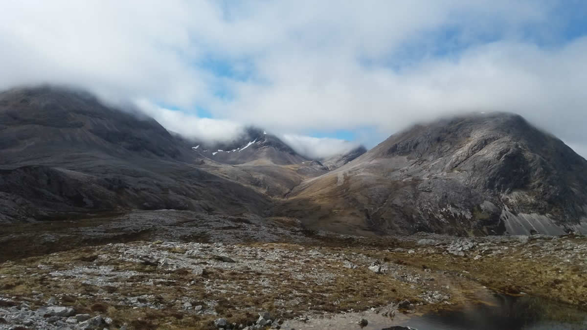
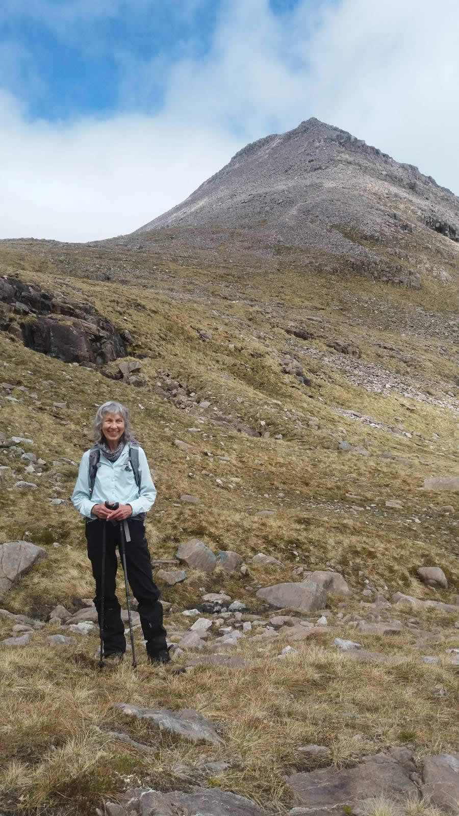
We set off at 8am having decided to follow the Pony Track all the way to the highest point rather than cutting across the plateau as the Carn Dearg did in 2013, and then follow the faint path on the east side of the Allt Toll a Ghiubhais. It may have been slightly longer but much easier I thought for us rather than the very rocky ground on the plateau. The cloud was down on the tops when we left but it began to lift as we climbed higher. Fingers crossed it would continue to lift and we would get good views.
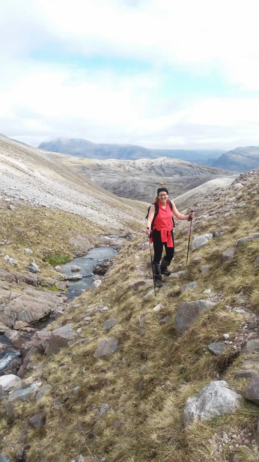
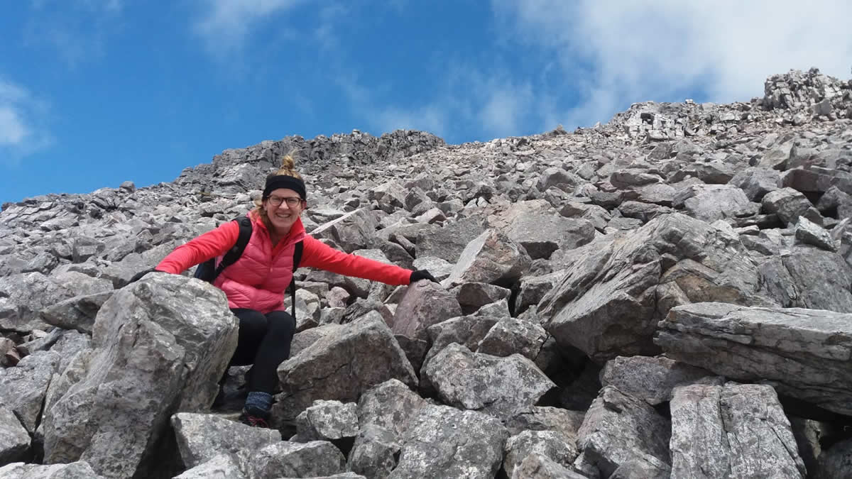
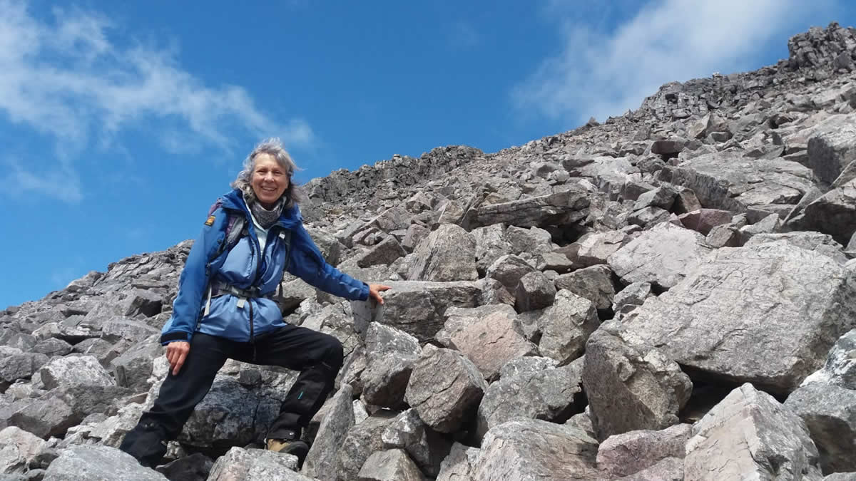
Had a stop at the foot of Ruadh Stac Beag and had half a lunch. We (the “Royal” we that is because it wasn’t really fair to ask Alex to make decisions about the route) looked up the shoulder of very large boulders with no real indication of where to start. So we put the poles away and off we set, clambering over huge rocks, with a scramble near the top, and hearts in mouths, and having kittens about finding a different route off as our ascent was not for a descent!
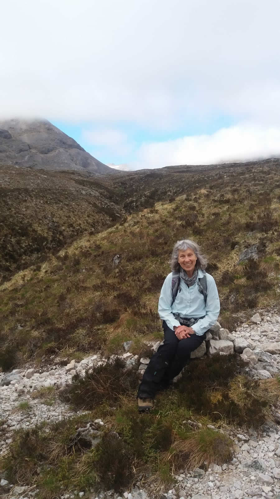
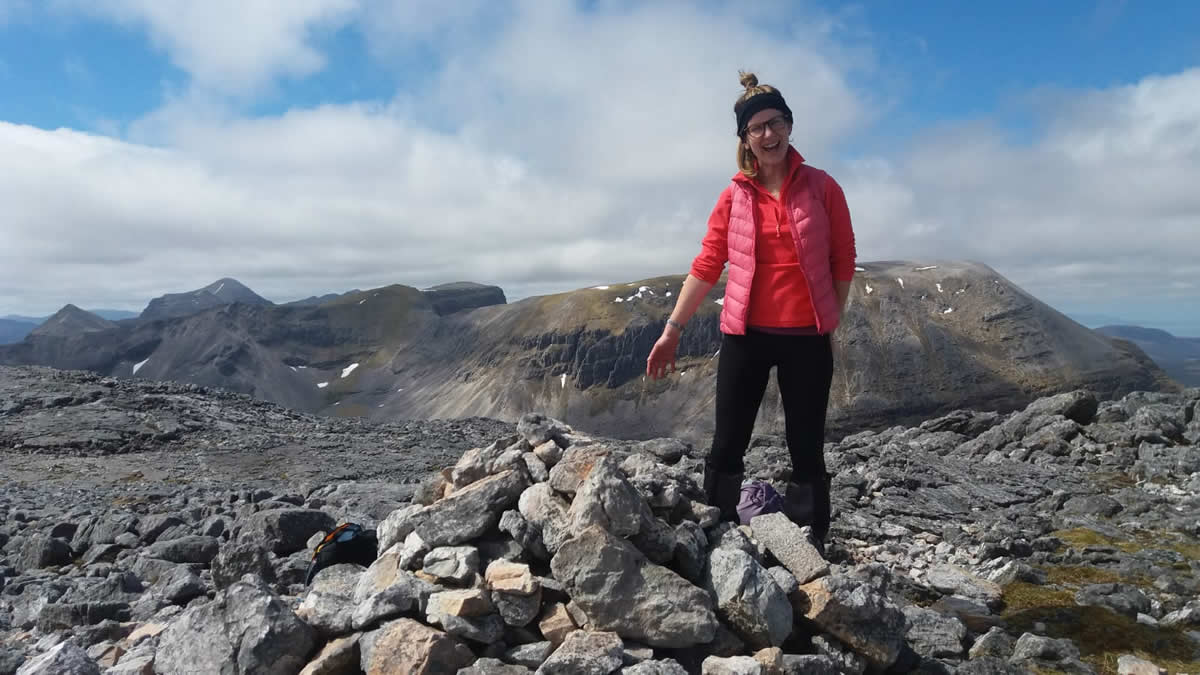
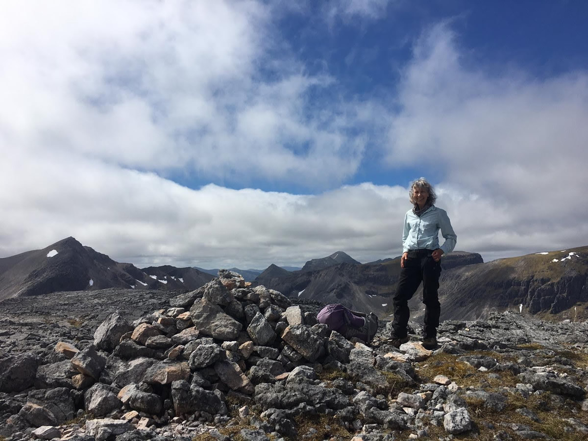
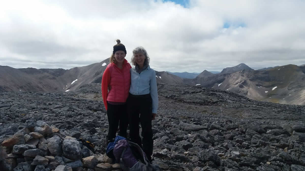
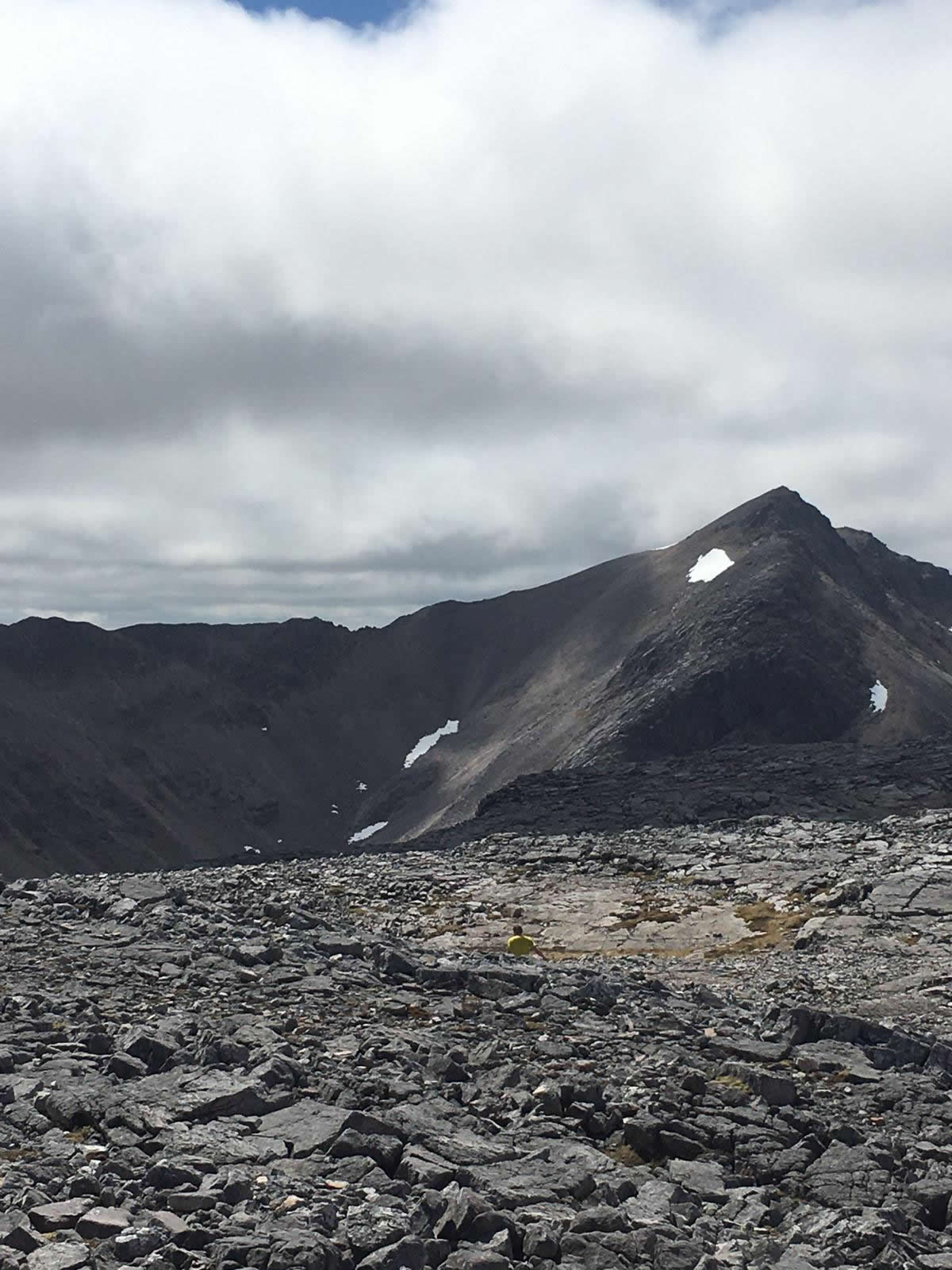
The top is a large flatish area with the cairn at the furthest away point of course, and covered in rocks very much like a moonscape. Amazing views looking back to Beinn Eighe and spotting tiny figures on the ridge, Liathach, the Fisherfields, the Fannichs and Slioch towering over Loch Maree. We took photos of each other at the cairn when who should appear from the NE side but a young runner, in shorts and a tee shirt, so I asked him to take our picture at the cairn. Then another man appeared from the same direction but didn’t stop, saying he had to get back to get the children – he was on the school run for goodness sake. They both disappeared off quick as a flash but their presence lifted Alex’s spirits greatly, because she realised we were not the only loonies on top of a hill in the middle of nowhere. Alex managed the route off much better than me and led most of the way down. We had another short break before setting off over the plateau to rejoin the Pony Track. What difficult terrain it turned out to be and we were so grateful that we had chosen the river route up, because to do the rocky plateau twice would have put Alex off ever joining me again!
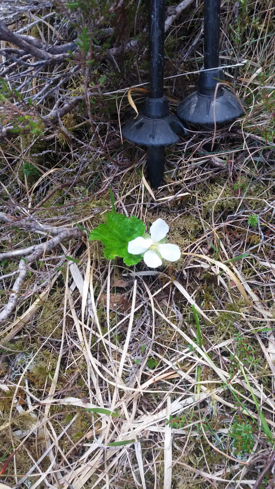
She spotted a tiny lizard and I saw a cloudberry flower (I think) and we saw plenty of jumping frogs. We had a great day, and although this hill is called “Little Red Peak” which it is in comparison to its neighbours, it certainly didn’t feel like that to us. It was a challenge, but we did it. The next was to drive the 194 miles back home. But it was more enjoyable than the one the day before and we got home before it got dark. I love the light on these long summer days.
Note: In the data section, I have inserted the map, route and profile from the 2013 report which Trish refers to in her narrative for reference only. - John
Ruadh Stac Beag - Photo Gallery
Click any photo to activate large screen photo gallery