Beinn Dubhchraig(978m)
Thursday 27th May 2021
15kms
7hrs
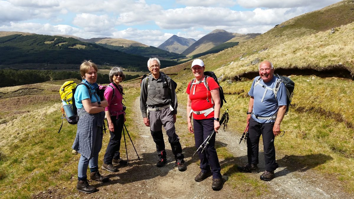
A few weeks ago, Beinn Dubhchraig was on the radar for our walk but was put on hold after a couple of days of heavy snow which blanketed the summits, and we headed for Tullich Hill instead. With a much more favourable weather forecast for today, Beinn Dubhchraig was once again in our sights.
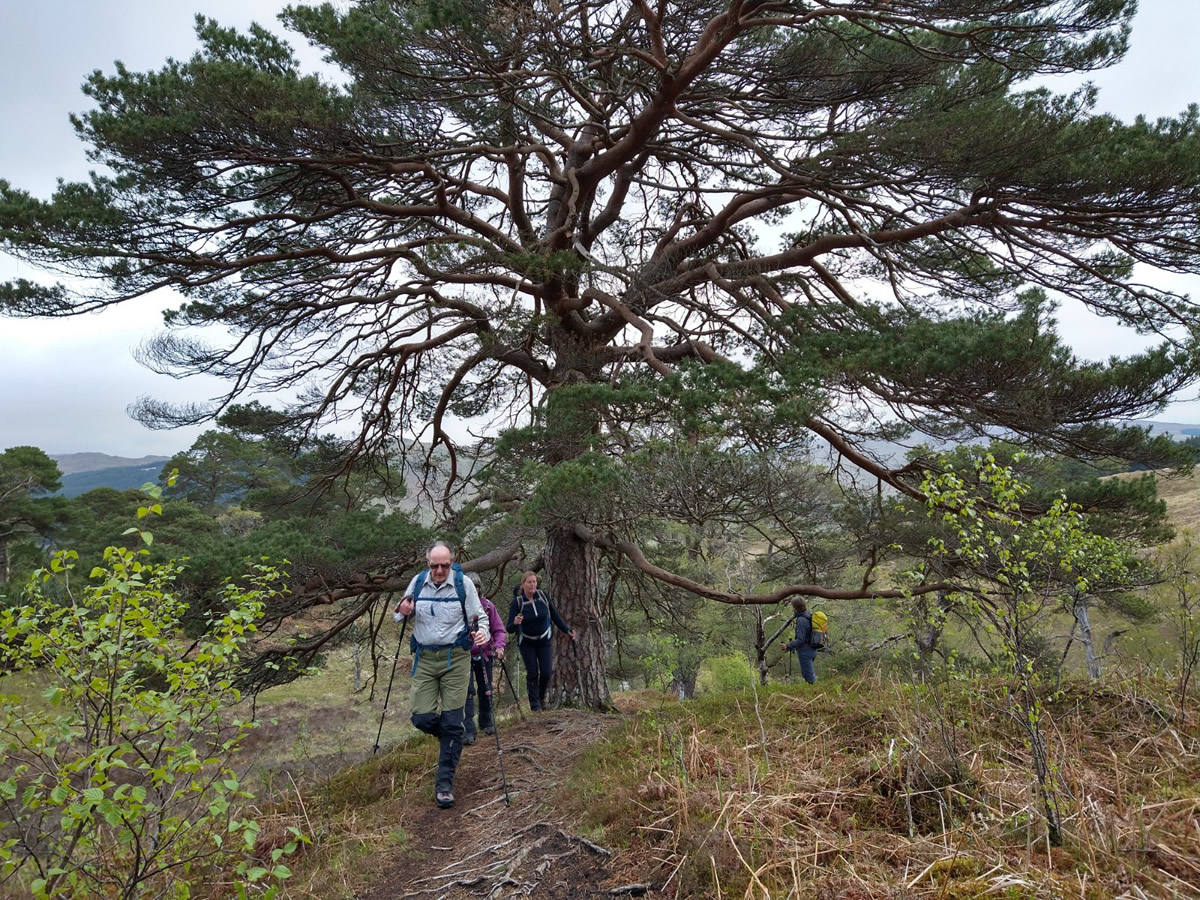
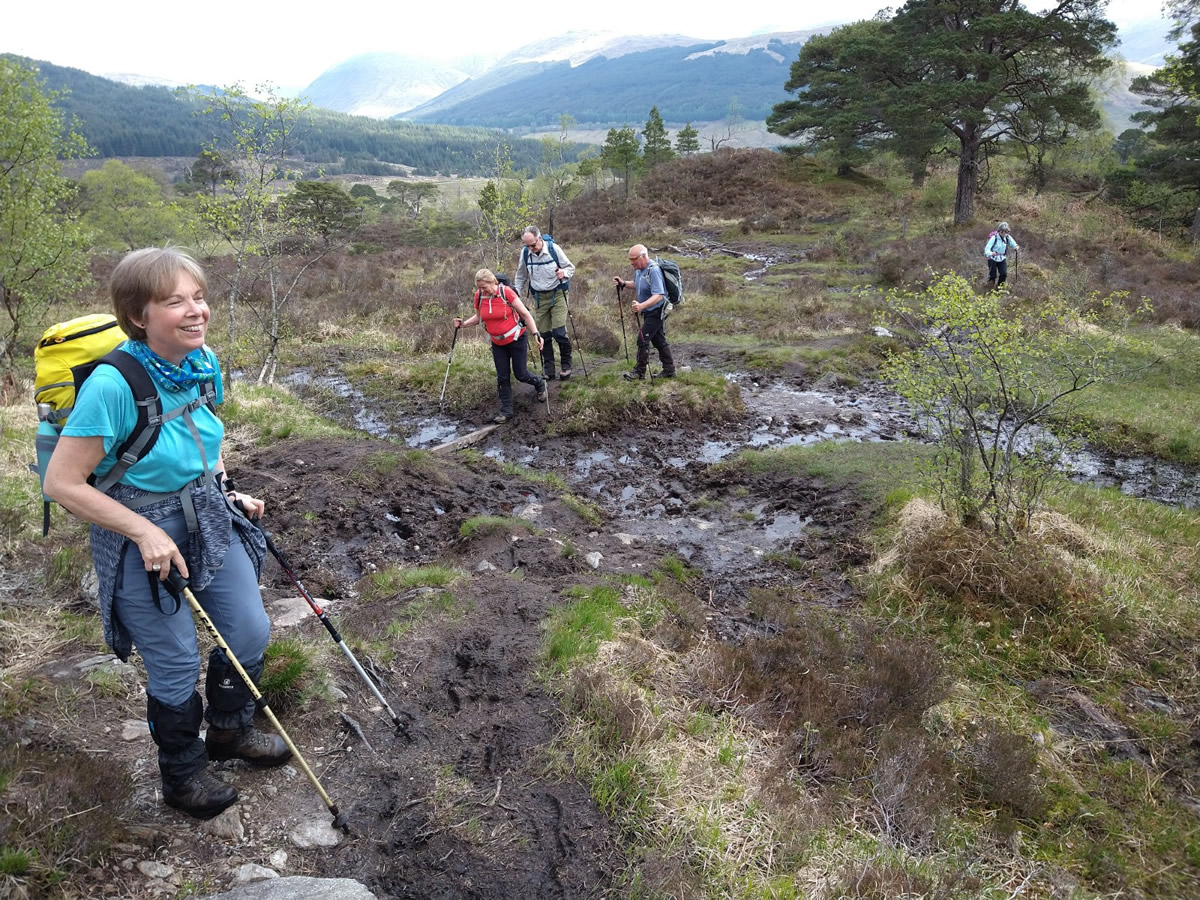
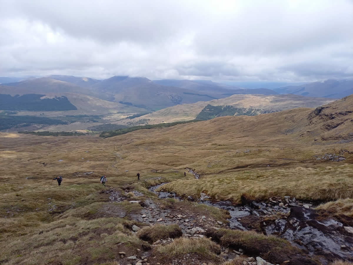
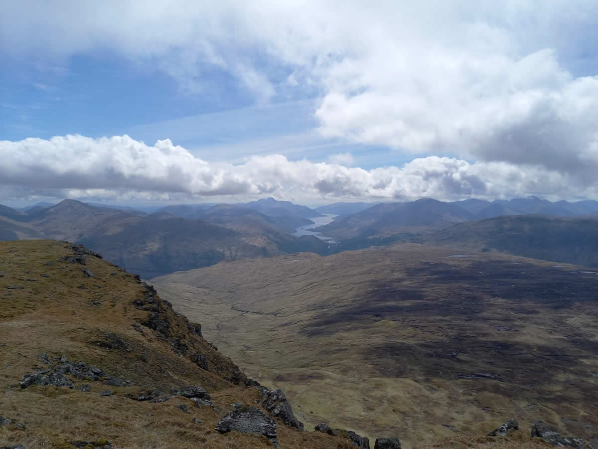
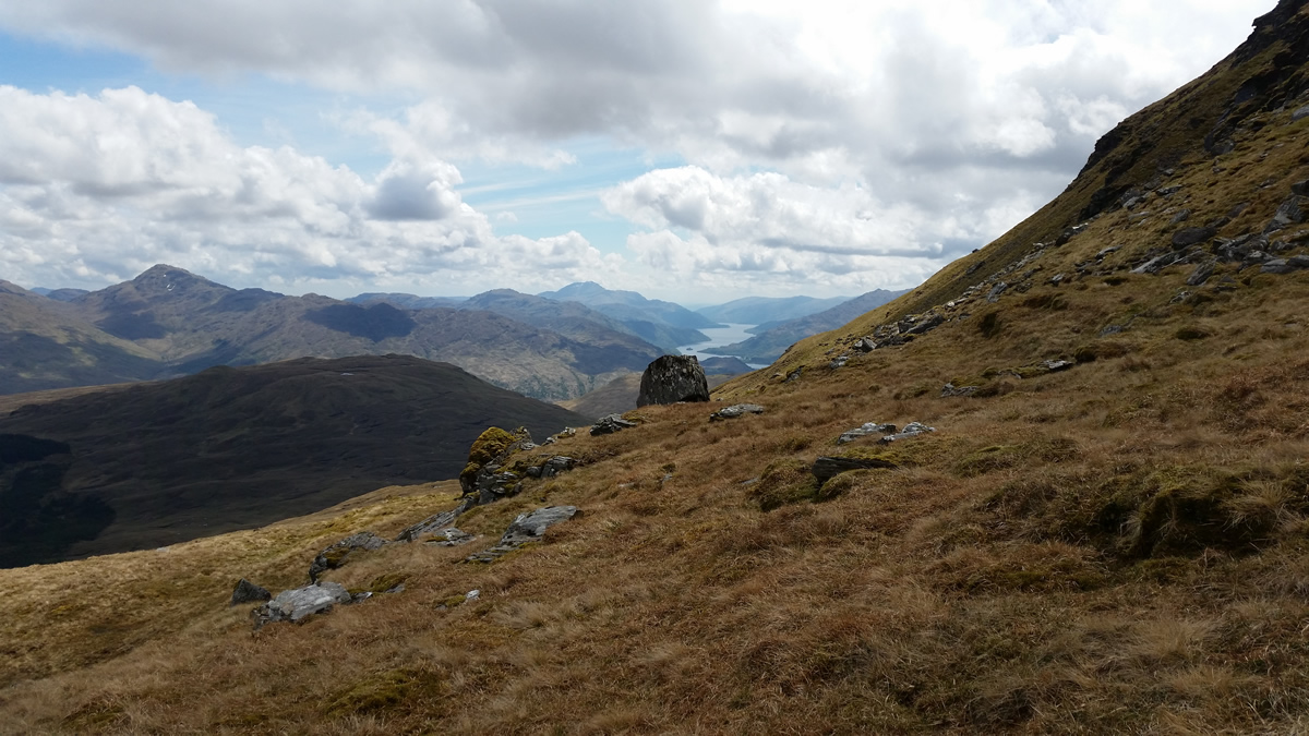
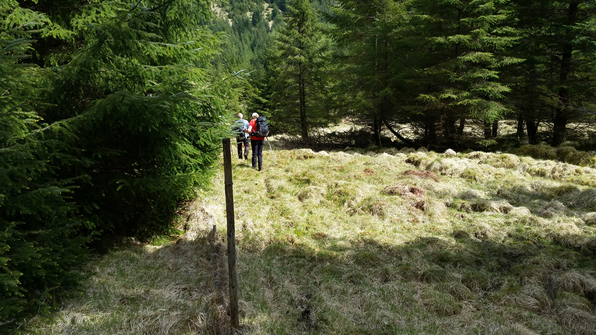
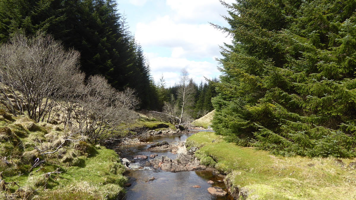
The walk up through the forest of Coille Coire Chuilc is always a delight, the trees in this ancient Caledonian forest are magnificent, and although the ground underfoot is rough, wet and boggy, the combined presence of the trees, river and waterfalls make this a unique and special place in which to walk Beyond the forest the rough track follows the course of the Allt Coire Dubhchraig as it flows from the small lochans that lie on the high ridgeline some 600 metres north west of the summit.
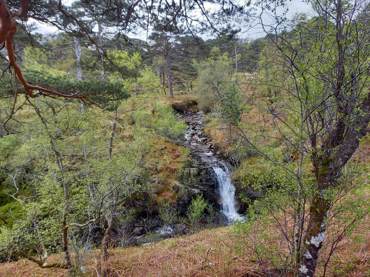
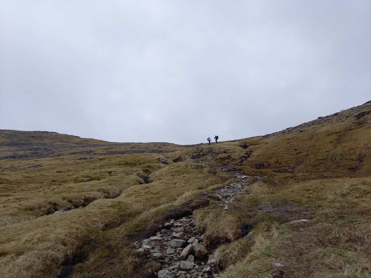
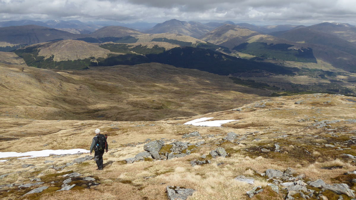
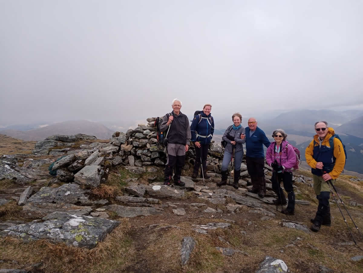
For the main, the climb is a steady one and height is gained relatively easily, passing on the way the many small waterfalls along the course of the burn. However, the final 150 metres of climb up to the 900m ridgeline takes a little more effort, as the gradient increases somewhat on this final stage. Once on the ridgeline, it is then a gentle walk of 500 metres with an ascent of 80m to reach the 978m summit, marked by a substantial cairn.
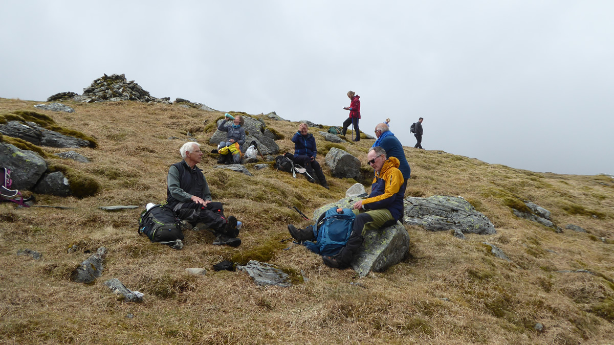
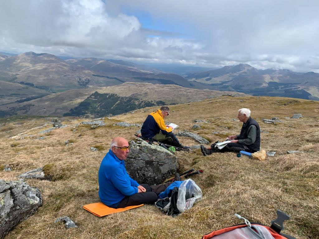
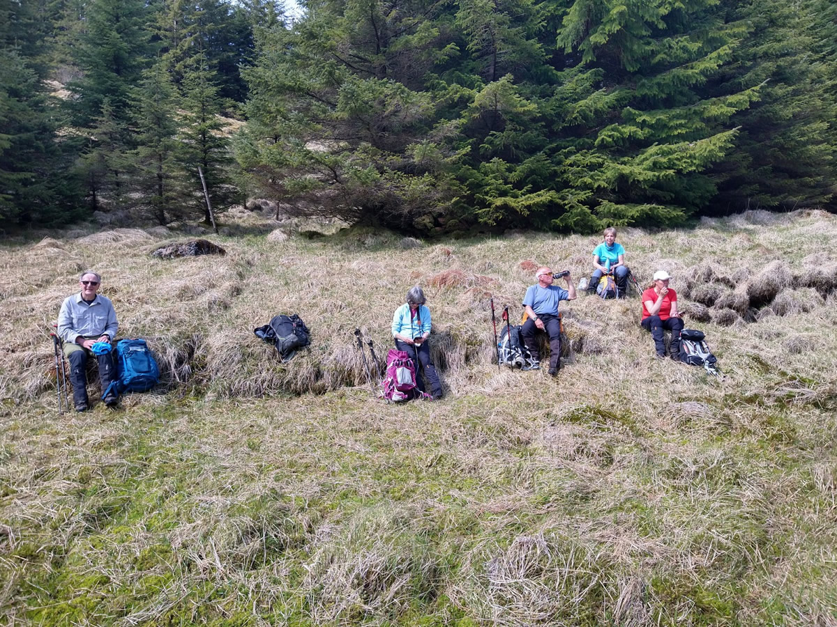
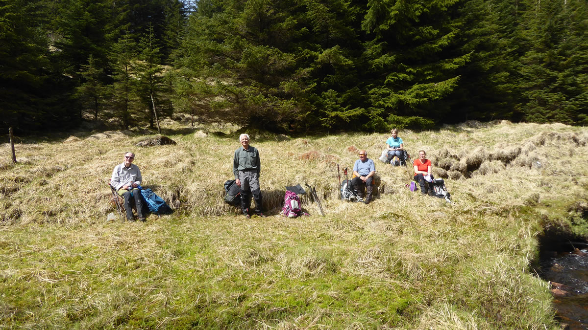
We had made good time to the summit, and were ready for a well earned break, the weather had been somewhat dull and overcast, contrary to the bright sunny day which had been forecast, but it was pleasant enough to let us settle down for our lunch break and to enjoy the efforts of the climb.
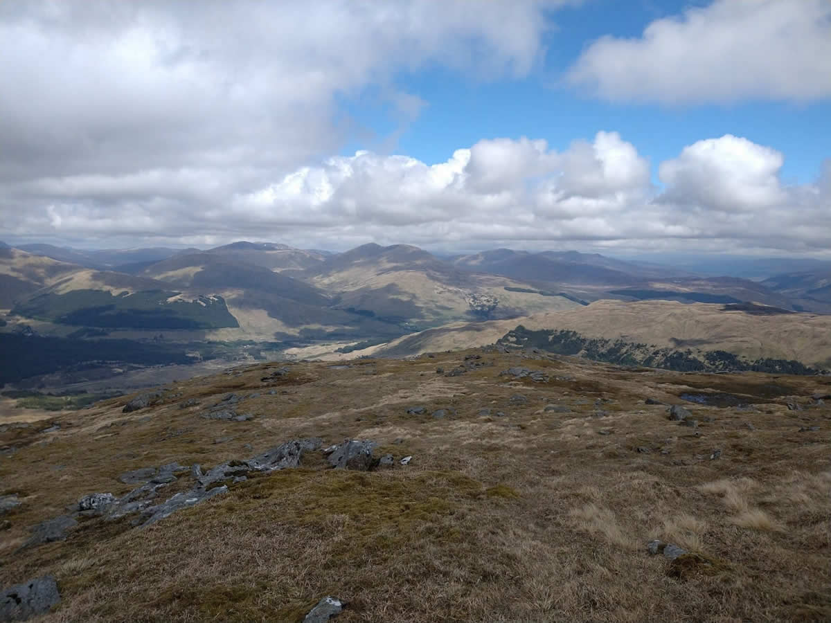
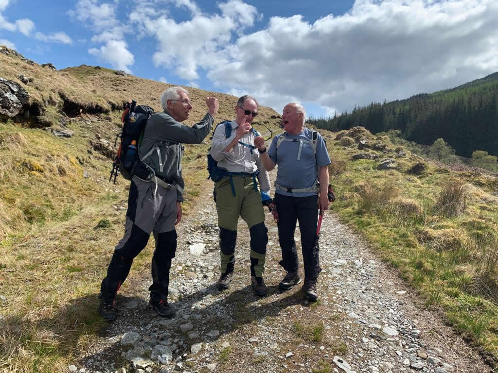
Our ascent had been straightforward and via the standard route. However, there had been “mutterings” and “hints” on the ascent about “coming off a different way”. It was not unexpected; I had certainly pencilled in one alternative descent via the north east ridge to the forest and then swinging north west to pick up the Allt Coire Dubhchraig track. And Mike was keen to descend the same ridge, but then swinging east to the forest to check out the possibility of a route through the forest to join the forest track in Gleann Auchreoch for the return to Dalrigh. So lunch was accompanied by quite a bit of browsing of maps and sharing of ideas on just what the descent would entail.
And so, as we departed the summit the consensus was, to get to the forest boundary and then see what transpired there.
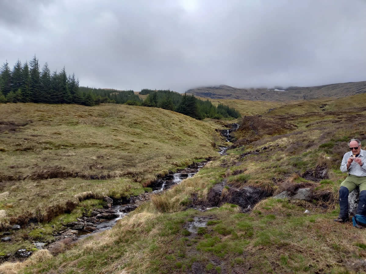
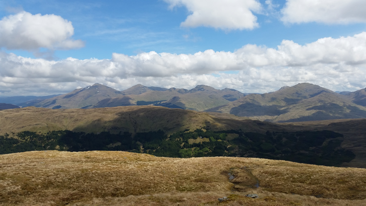
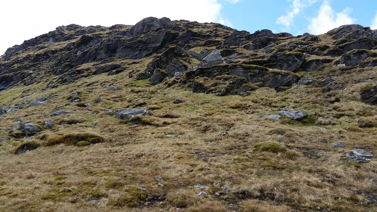
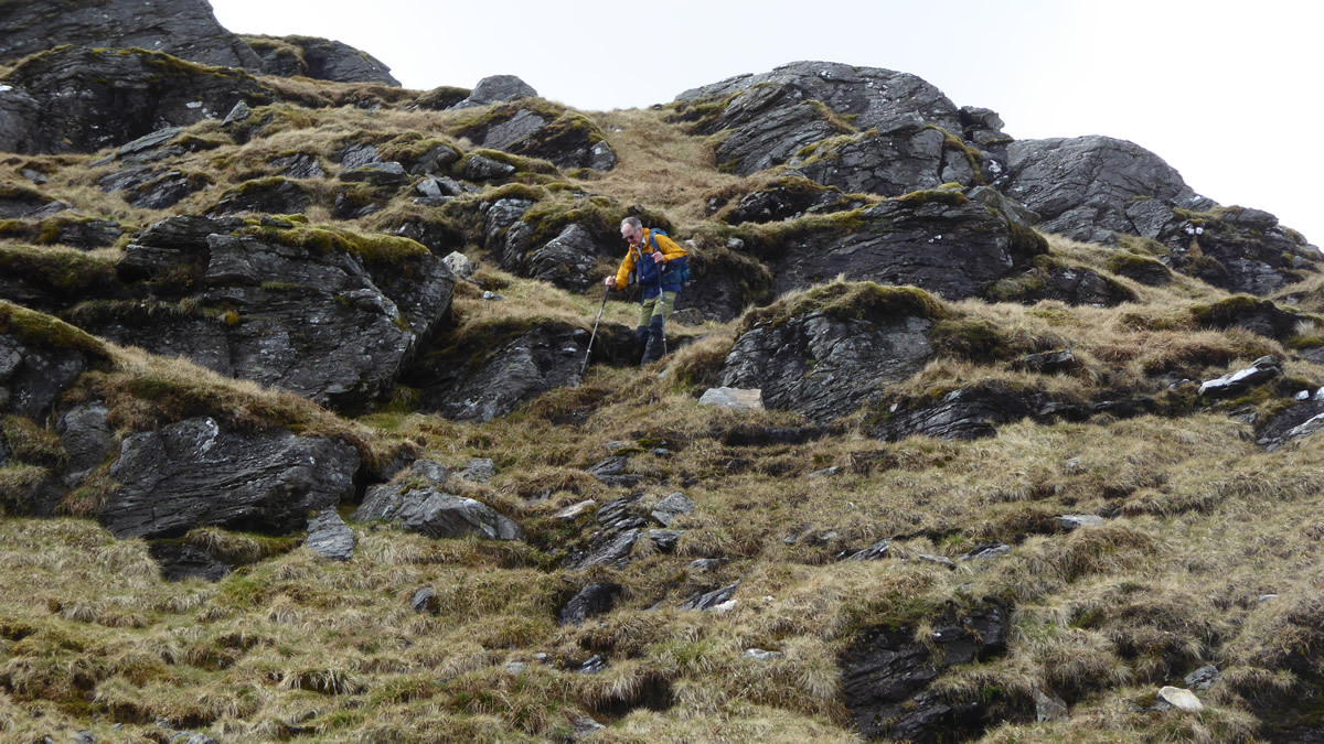
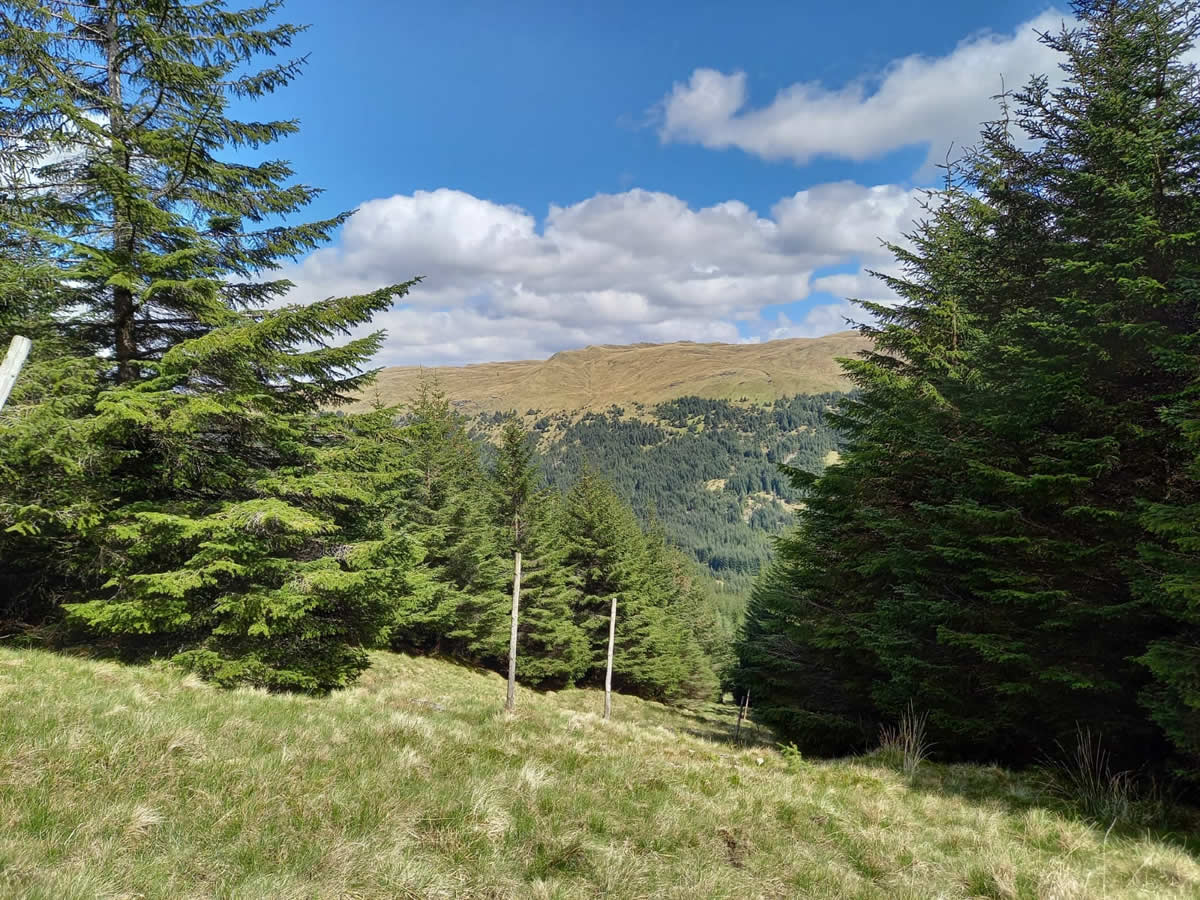
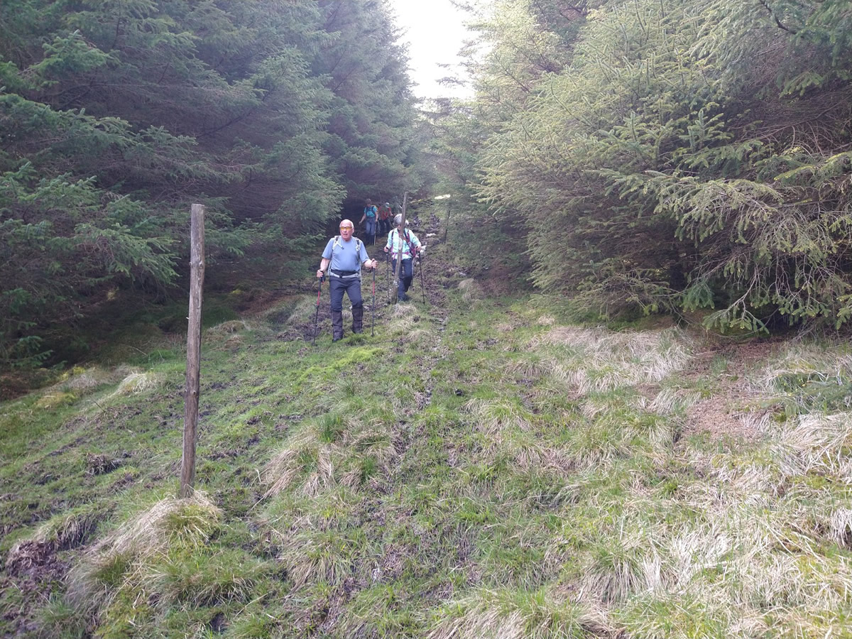
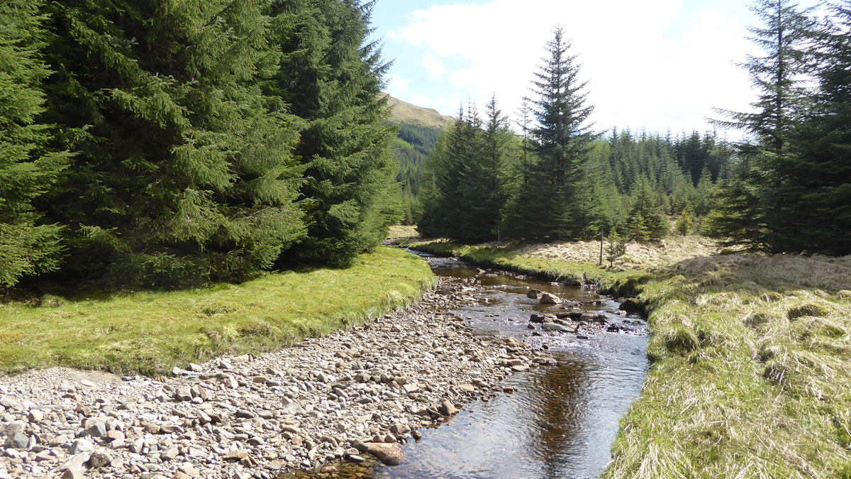
The descent from summit to forest boundary was certainly one of the easiest of those I have taken off Dubhchraig, the north east ridge is a fine grassy ridge, interspersed with a series of minor crags, none of which presented any problems, a short detour left or right would often open up a means whereby to reach the grassy area below, and even a short section of small peat hag was easily negotiated. All in, this is a definite plus on making a return trip down the rough Allt Coire Dhubhchraig track. Now came the moment of decision – turn left along the forest boundary and head for the Allt Coire Dubhchraig, or turn right along the fence line and check out whether there was a gap in the forest, as it appeared on close inspection of Google Earth. So with Mike’s reputation at stake, he strode ahead for a couple of hundred metres, and sure enough, there, as the fence line branched and one section ran almost due east through the forest, it sat central in a clear break of three to four metres wide running right through the forest. We walked along the gap as it ran straight, albeit quite muddy and slippery underfoot, for about 800 metres, at which point we knew that a bend in the main forest track was only a short distance to our left (north of our current position). Taking to the cleared patches of the forest we angled off towards the road or river, quite content that either would suit. It was the river we hit first, the upper reaches of the Allt Gleann Auchreoch, a beautiful stretch of water alongside of which we settled for a late afternoon break, the forest track literally a few steps above us on a raised bank. It was with some reluctance that we left this idyllic spot, but leave we must, and we joined the forest track for a very leisurely walk back to Dalrigh.A brilliant day on a great mountain. Thanks everyone for your company and very stimulating conversations.
Beinn Dubhchraig - Photo Gallery
Click any photo to activate large screen photo gallery