Ben Starav(1078m)
Sunday 15th July 2012
11kms
4hrs
Ben Starav is normally climbed via the well documented and popular route up the north ridge to the summit. However, Alan has for some time wanted to try the climb directly from the eastern shoreline of Loch Etive via the northwest ridge which runs to the south of the Allt Coire Sgriodain and Coire Sgriodain.
A thorough search of the internet failed to come up with any reference to this route having been used, not even on the Walk Highlands web site, on which you can usually find a report where someone has tried an alternate route on the most popular Munros. So this was going to be a take it as it comes and find the best route as we go.
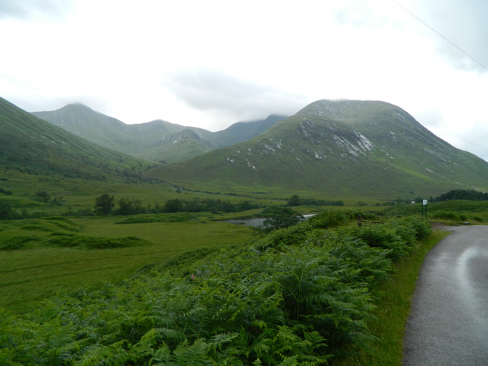
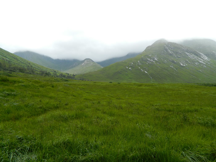
The weather prospects were not good, with heavy cloud and outburst of rain, plus a 65kph wind forecast for the summit level. And, just to prove a point, we drove across Rannoch Moor in some very heavy and torrential rain, which lasted until we parked up in the small parking area just above Coileitir Cottage. Apart from our cars, there was only one other car parked in the vicinity, maybe others were heeding the weather forecast.
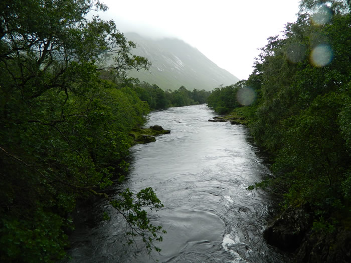
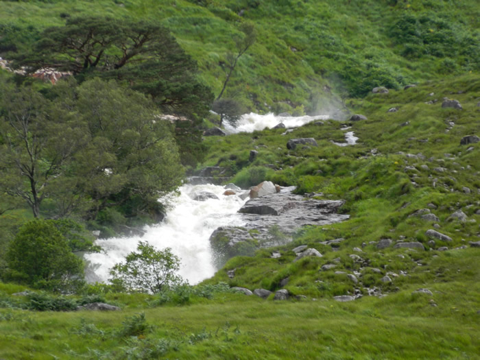
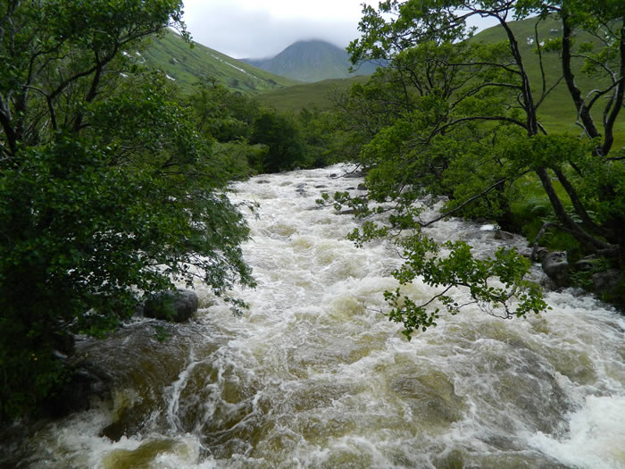
We set off down the track and over the River Etive, skirting around Coileitir Cottage and taking the river path to cross the sequence of footbridges taking us to the west bank of the Allt Mheuran. Here we left the standard ascent route, and headed east passed the Kinlochetive Bothy and onto the shoreline of Loch Etive. This whole area was just awash with water, the path was indistinct and the surrounding wetland was just that, a very wet, boggy trudge through the reed beds. The rain was persistent, and the wind blowing up Loch Etive was quite strong, making for unpleasant walking conditions.
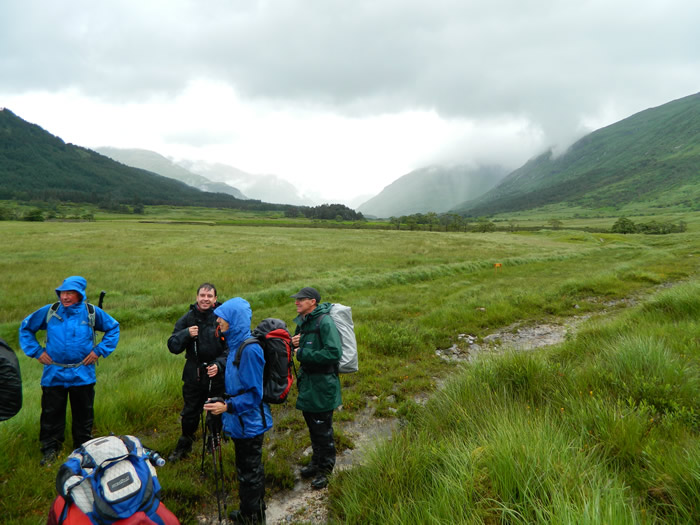
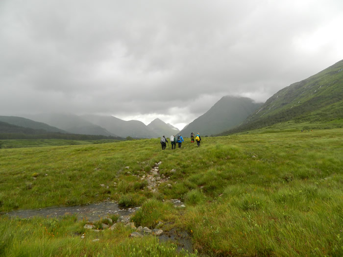
We were quite a wet and waterlogged group when we reached the point (NN112445) on the shoreline where we intended to strike southeast from the shoreline and pick up the start of the ridge to being our ascent. At this point we had a decision to make, should we continue our planned ascent, over untested route, in very poor weather conditions, a cloud base of around 300m and a wind forecast for summit levels that was going to be on the strong side, or should we put this one on the back burner for another day. It was pretty unanimous, lets leave this one today.
So, with no other alternative hills around, it was an about-turn and retrace our steps back to the cars.
A watering stop at Kinghouses let us contemplate on the abandoned day - a decision I think was the only one in the circumstances, but a route I look forward to attempting in slightly more favourable conditions.
Good route - shame about the weather - Thanks Alan
Note - that distance and timings above are those we did for the section of the route covered - that attached route-map is of the proposed route.
Update - this walk was successfully completed 10 days later - Click here to read walk report
Ben Starav - Photo Gallery
Click any photo to activate large screen photo gallery