Stob Ghabhar(1090m)
Saturday 7th July 2012
14kms
6hrs 45mins
When I checked the 6 day weather forecast on the Tuesday, the outlook for Sunday was a clear, sunny day with a medium wind at summit level for Stob Ghabhar. As the week progressed, this very favourable forecast had done a complete U-turn and by Sunday morning the summit forecast was for heavy cloud cover, intermediate heavy showers and a wind speed of 45kph. So much for a nice summers day in the hills.
As we arrived at the Victoria Bridge car-park there were already a number of cars parked, their passengers either in the process of booting up, or had already disappeared in whatever directions their intended route would take them. The West Highland Way was also reasonably busy as a number of walkers made their way passed Victoria Bridge on the next leg of their trek.
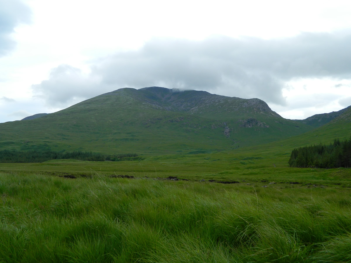
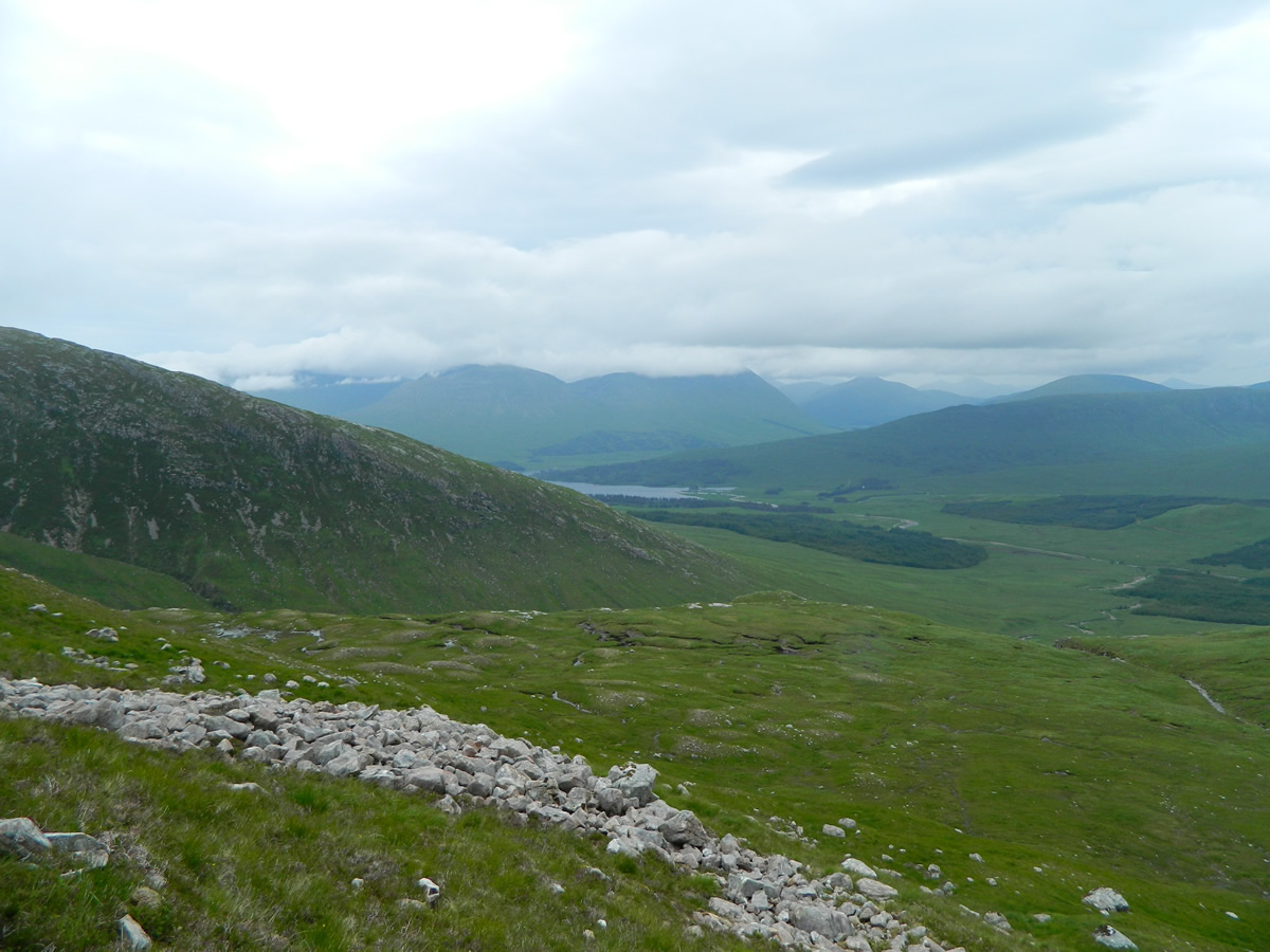
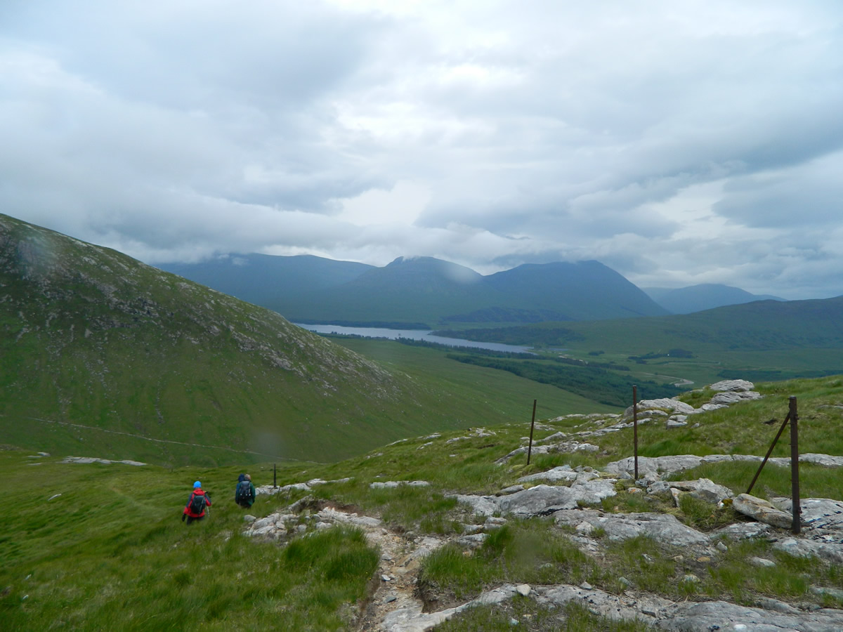
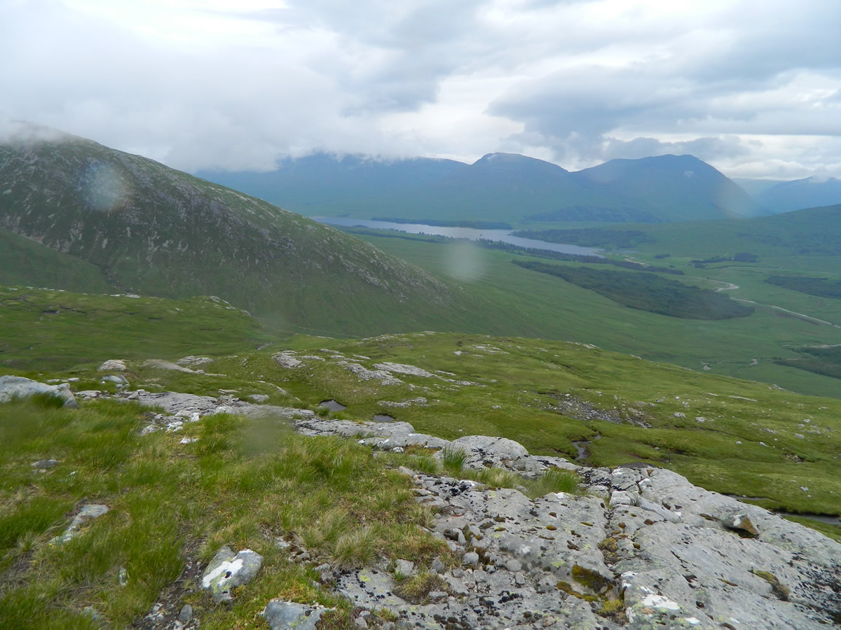
We set off over the bridge and onto the estate road alongside the Abhainn Shira heading for the Clashgour Hut, at this point, the cloud base was just flirting with the top of Stob Ghabhar, although Stob a'Choire Odhair was covered in a heavy gray cloud layer. As we turned north at the Clashgour Hut and picked up the stalkers track alongside the Allt Toaig we could see the cloud base gradually dropping over our route ahead, probably settling around the 750-800m level, and the breeze was picking up a little.
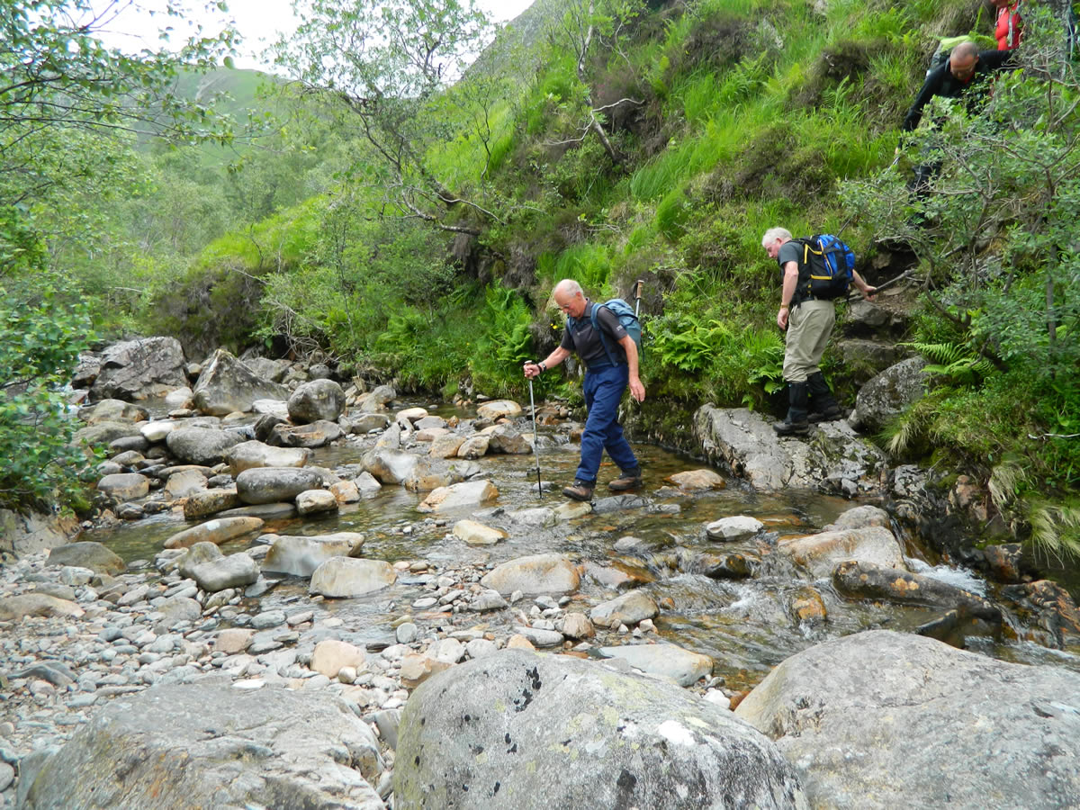
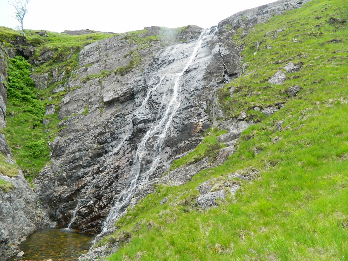
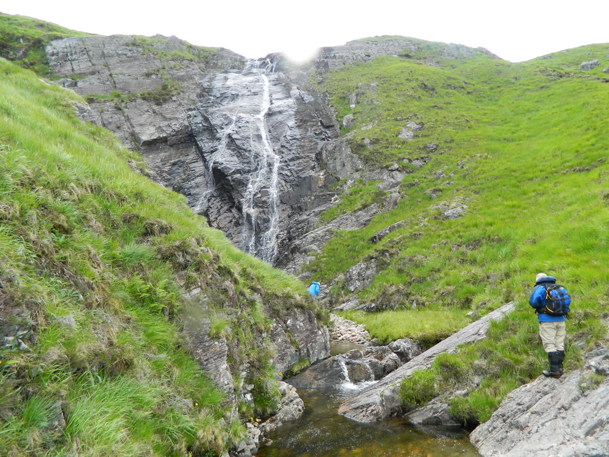
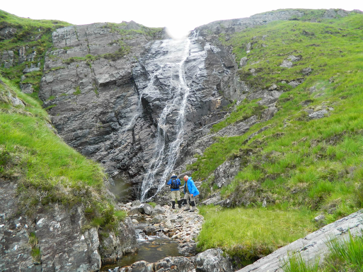
The crossing of the Allt Toaig was easy, with just the minimum amount of water flowing, surprising given the rain in the previous week. When I accompanied Ian on the recce for this walk a few weeks ago, Ian had decided to take the anti-clockwise route, going up via the Aonach Eagach ridge and down Stob Maol. So, having crossed the Allt Toaig, we stayed on the northern side of the Allt Coire na Muit and followed the faint path as it climbed steeply to the flatter area above the waterfall. This is a very short section which is not quite a scramble, but does require the use of hands to get up a small rocky section.
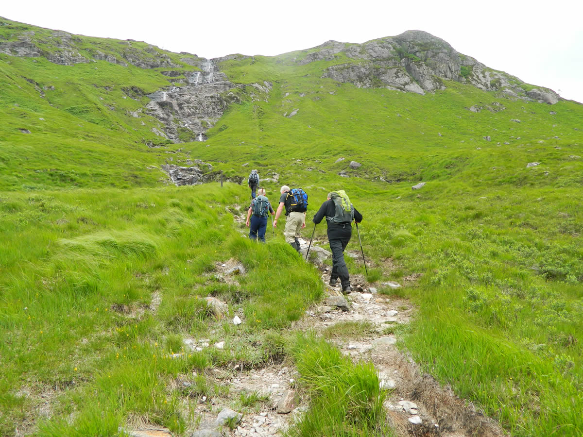
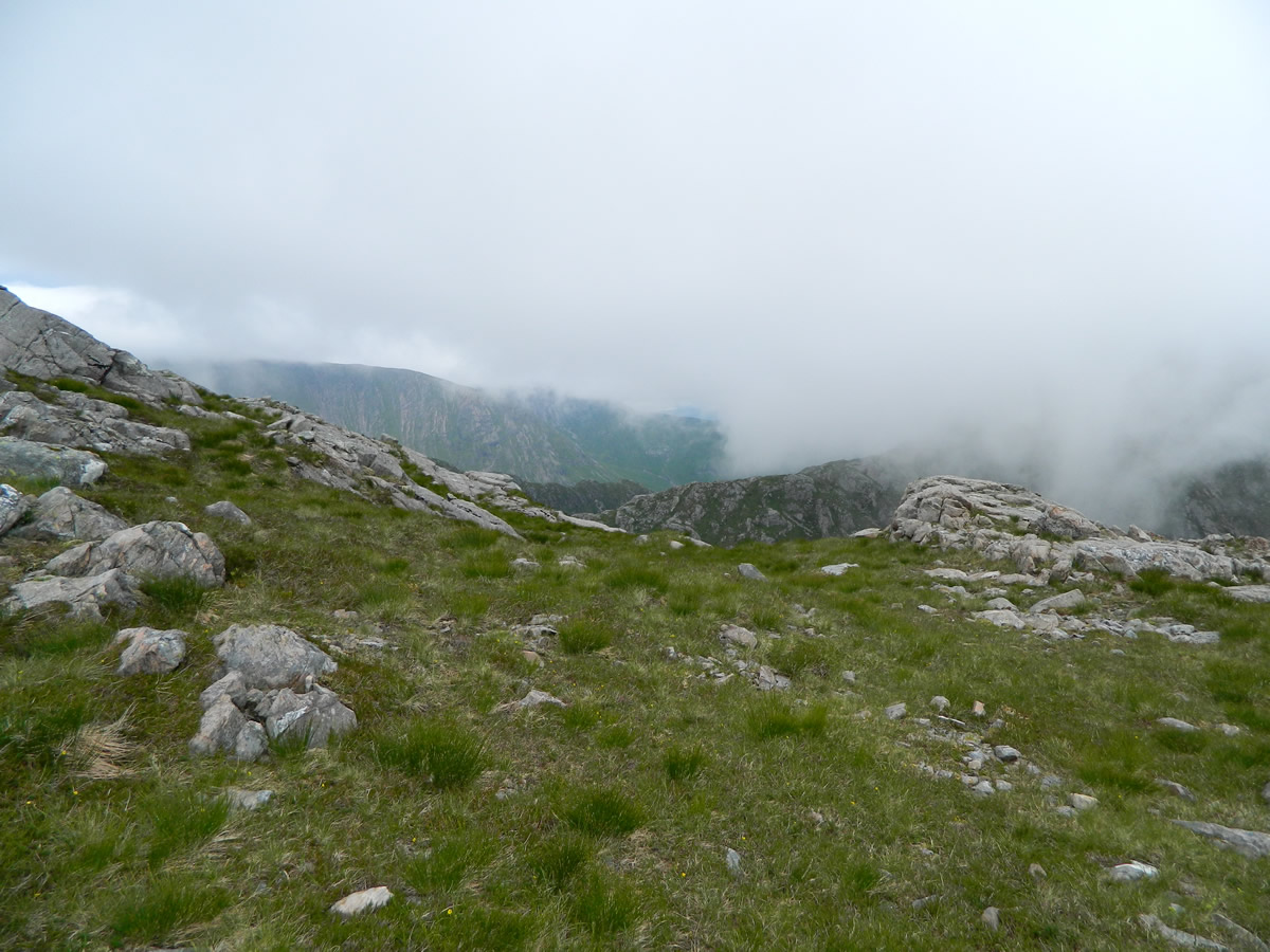
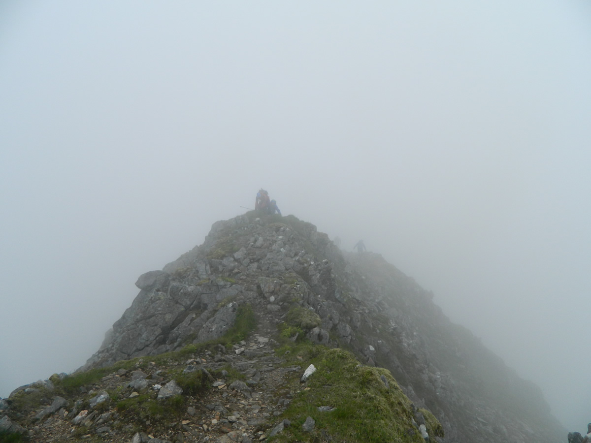
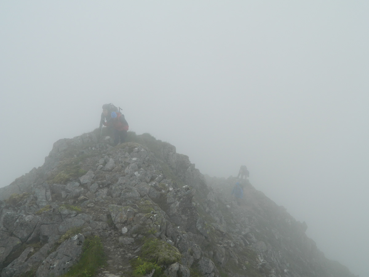
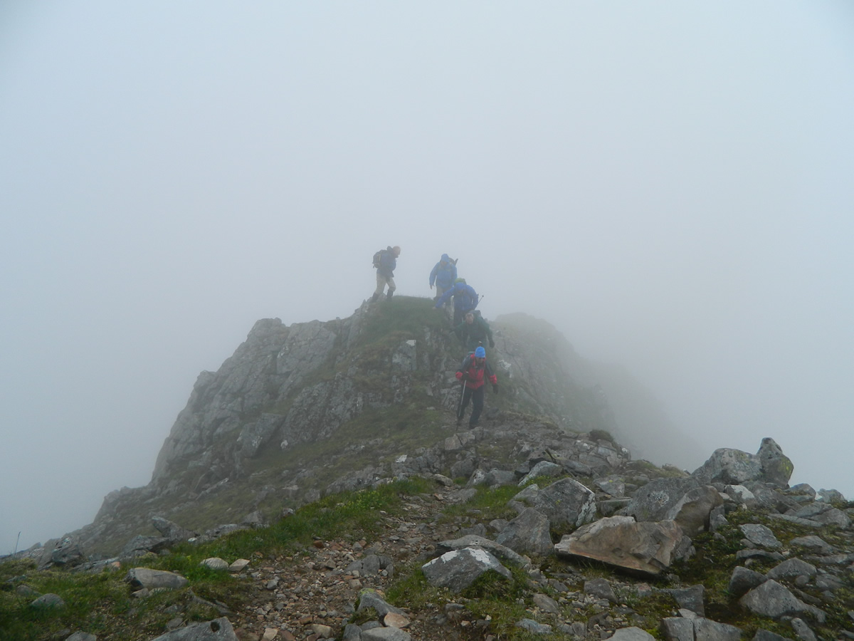
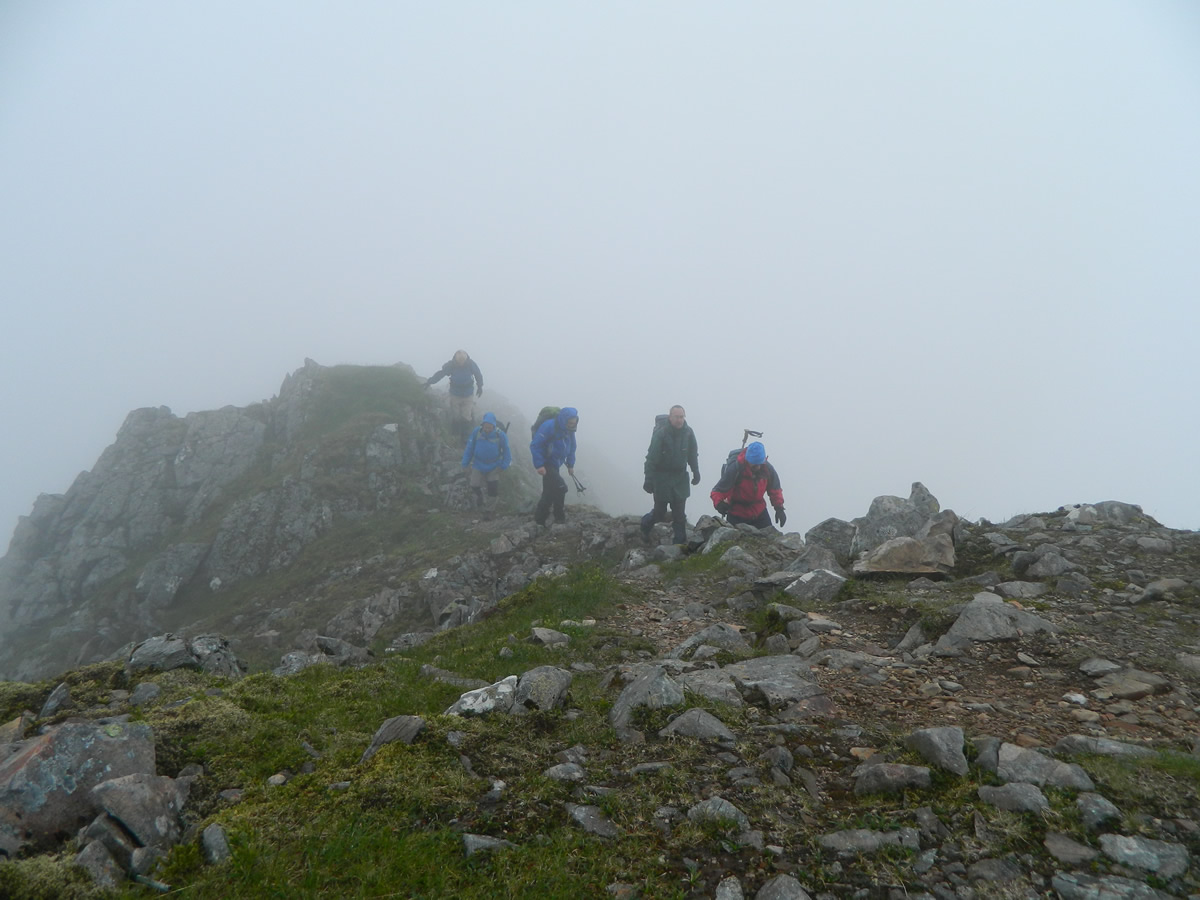
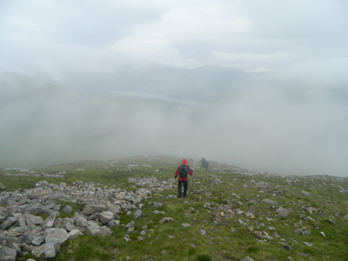
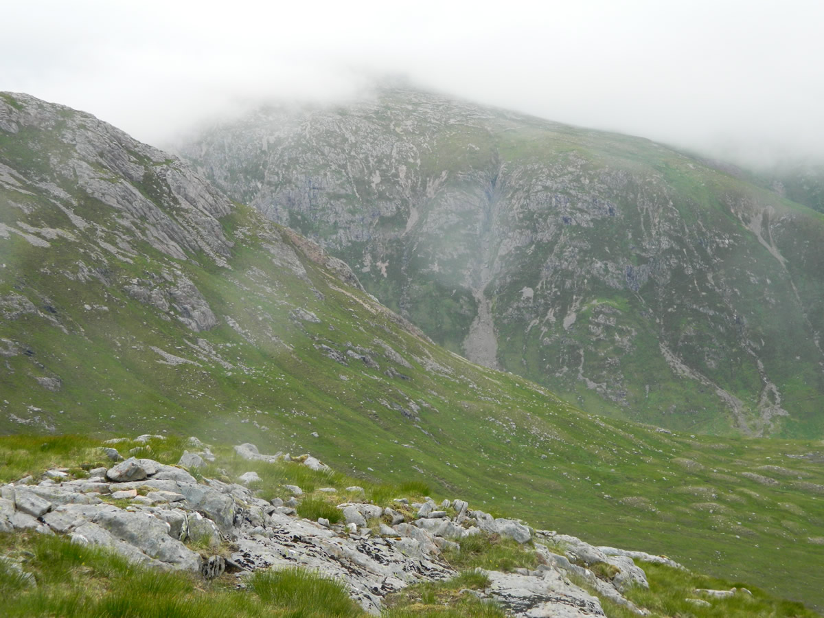
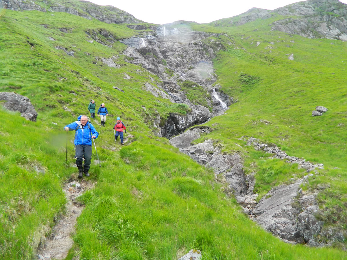
Beyond the waterfall, we followed the line of the stream for about 500m before following the faintest of paths heading generally 350-355dgs which heads directly up to the Aonach Eagach ridge, arriving on the ridge in the area of the 800m level. It's a fairly steady but easy ascent over mainly grassy slopes with some areas of loose rock. Once on the ridge. it's a matter of following the ridge line as it rises to the broad open top of Aonach Eagach at 980m. On the open ridge, the visibility was poor due to the dense cloud, and the wind was certainly strong enough for the odd gust to stop you in your tracks.
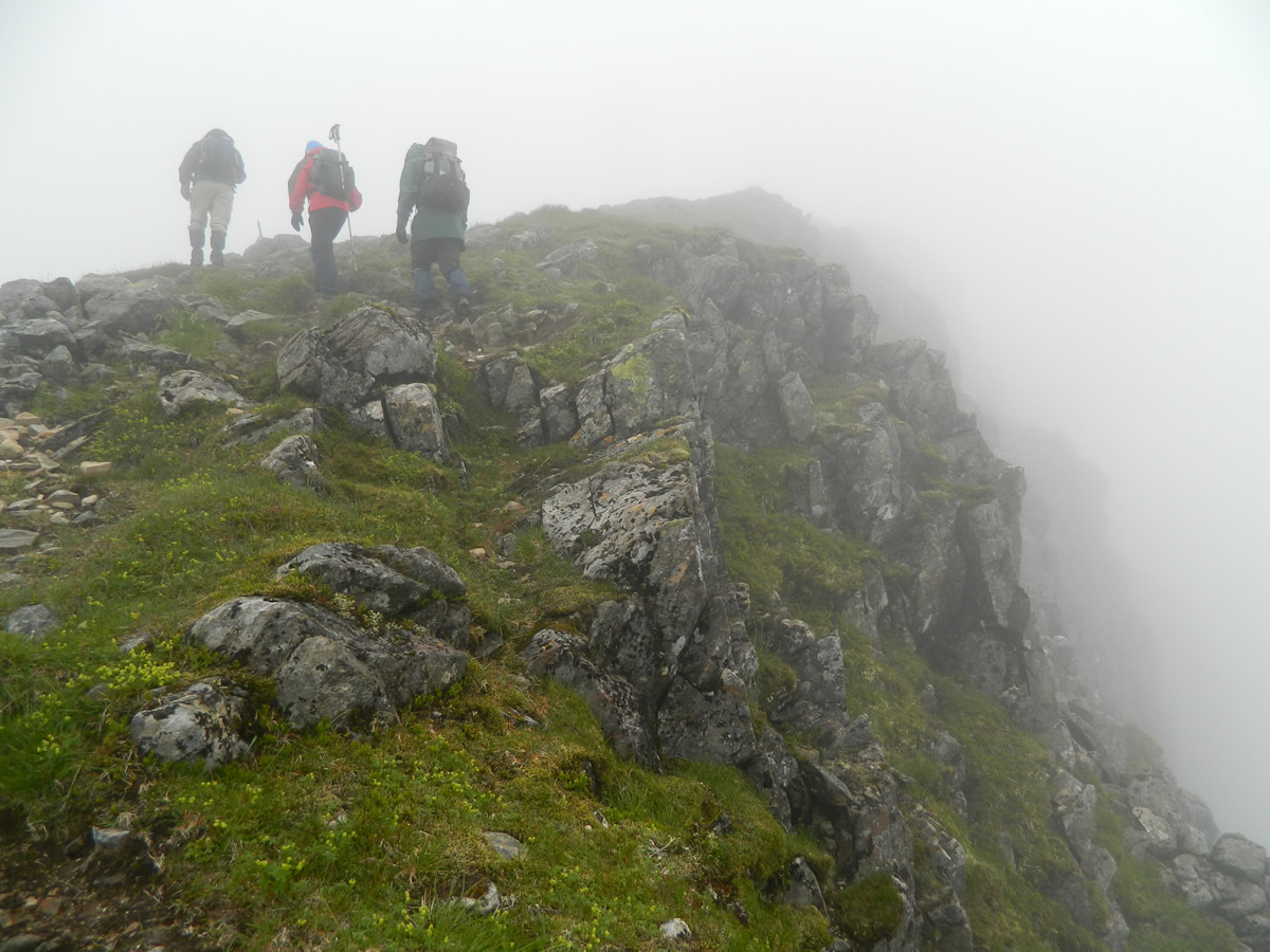
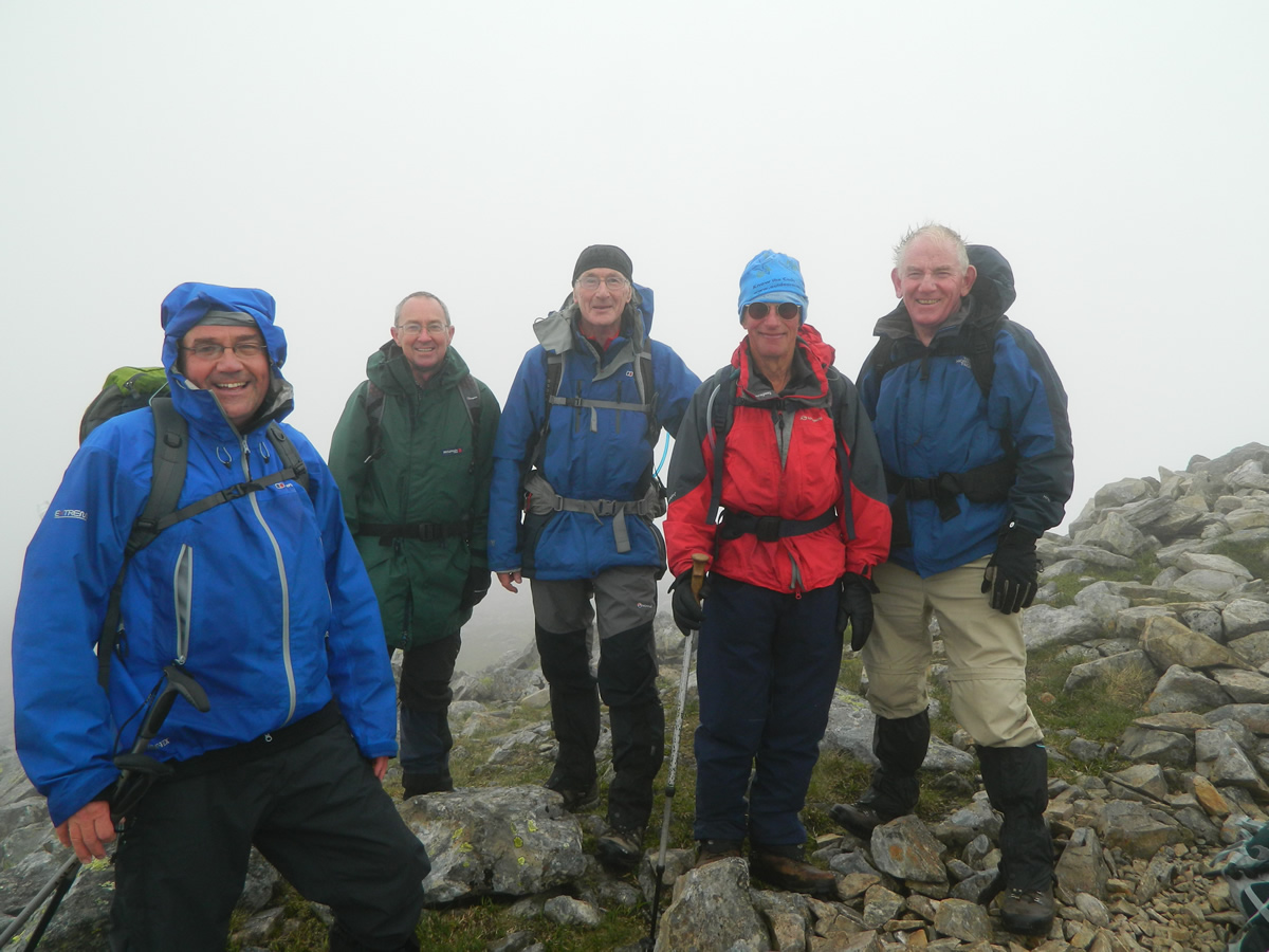
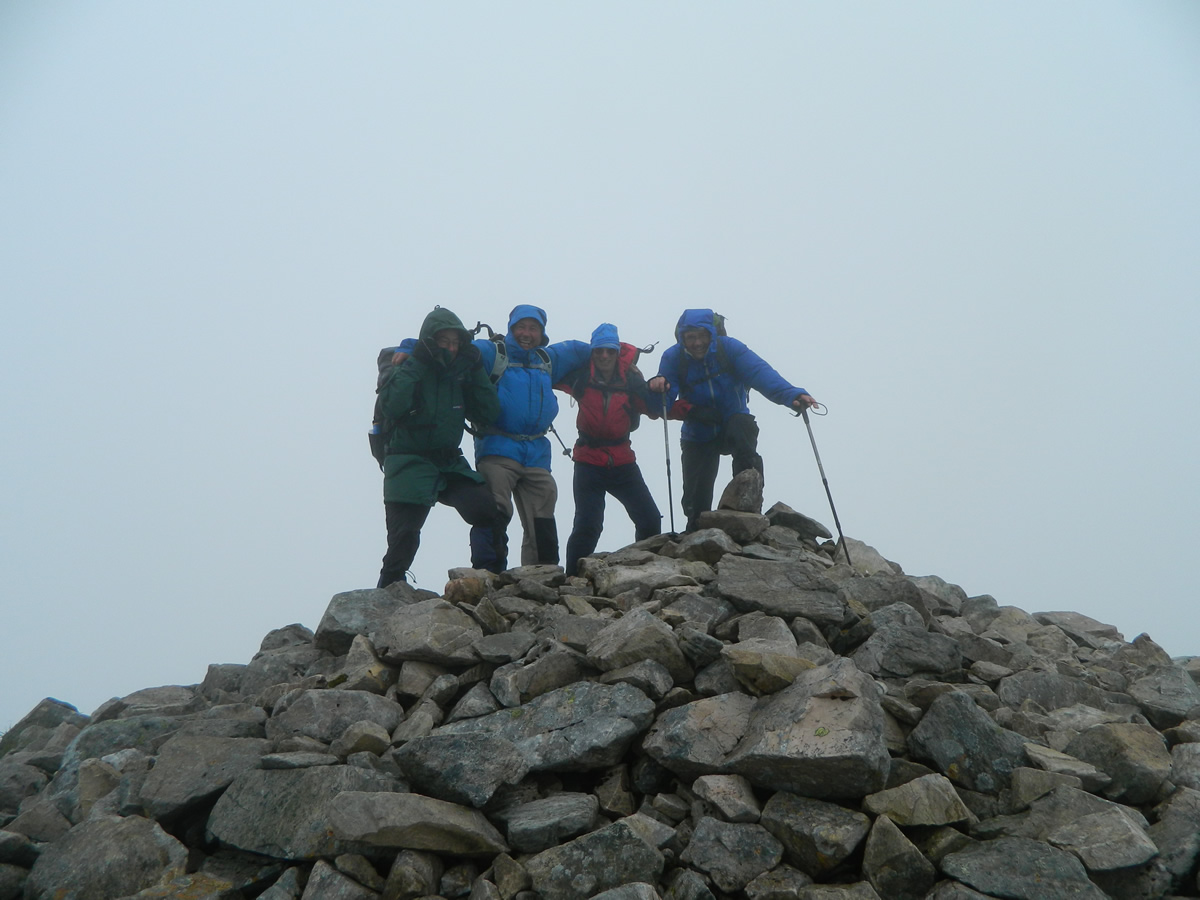
We traversed the narrow ridge between Aonach Eagach and the bealach below the summit of Stob Ghabhar and continued up the rocky path on the final climb to the summit cairn. The wind at the cairn was gusting, so we huddled in the small stone walled shelter just of the summit to have our snack break, and enjoy some of Jim's tablet.
Break over, we retraced our steps to the bealach before turning south to pick up the stony path to descend Stob Maol for our return to the waterfall. Stob Maol ridge is a broad ridge, a mixture of grassy areas and loose rocky sections and makes for an easy descent.
Once back at the waterfall, we had a relaxing bre
Stob Ghabhar - Photo Gallery
Click any photo to activate large screen photo gallery