Meall An t-Sealaidh(852m)
Wednesday 24th February 2016
14kms
8hrs 15mins
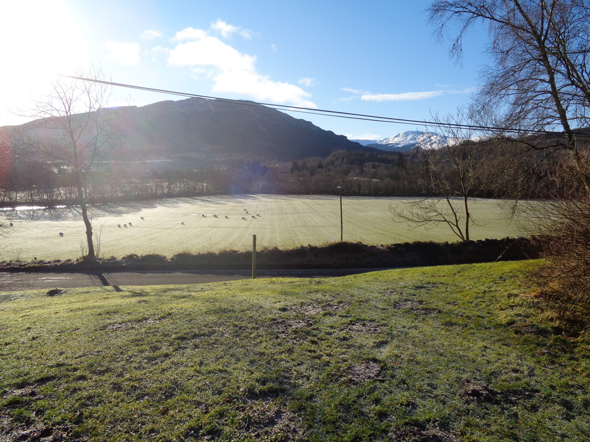
This winter, Wednesday walks have been a bit on the sparse side, the weather being the main factor; so when the forecast looked very favourable a day out on Meall An t-Seallaidh at Balqhidder was a fine suggestion; even if the temperature was showing minus 4 degrees as we parked alongside the small church that boasts Rob Roy's Grave as its main attraction.
.It's odd how some people pick a route for a walk, the easy way, the hard way, the scenic way, whatever, but I don't recall having picked a route because of two identical spot heights! A close look at the ridge running generally north west - south east from the summit of Meall An t-Seallaidh will show a spot height of 789m at either end, and that was it, our route decided, we would take in both spot heights - no prizes for guessing that this was of course Alan's suggestion.
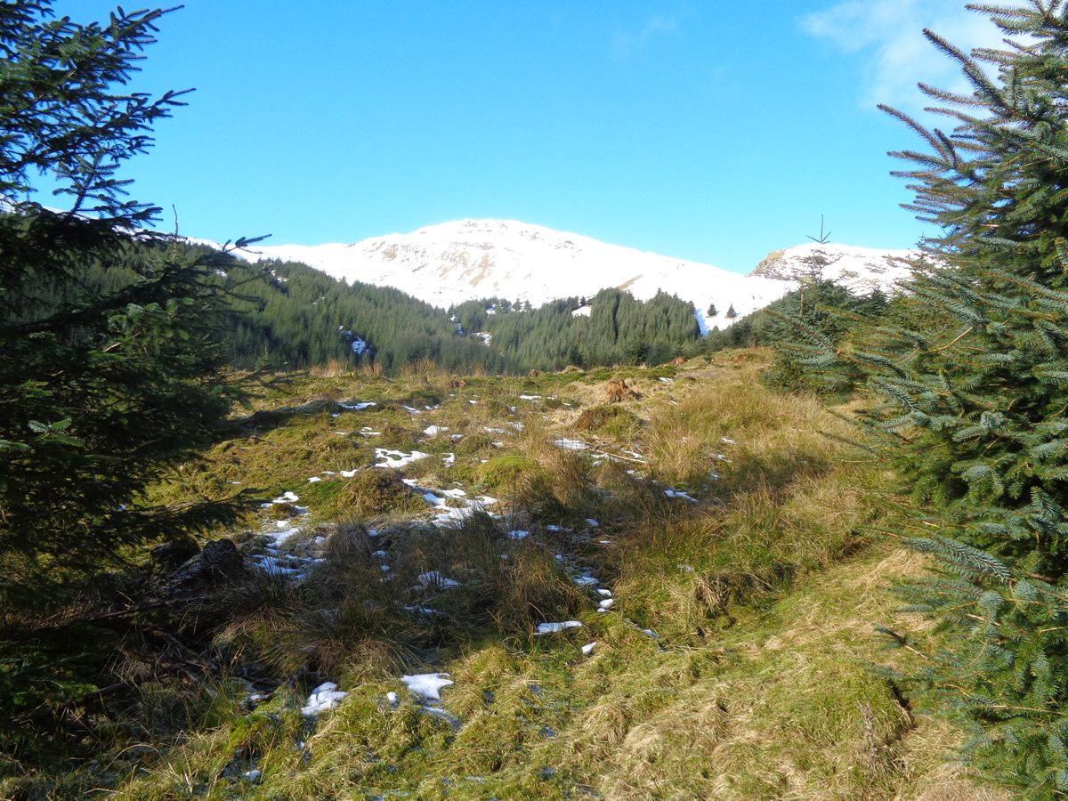
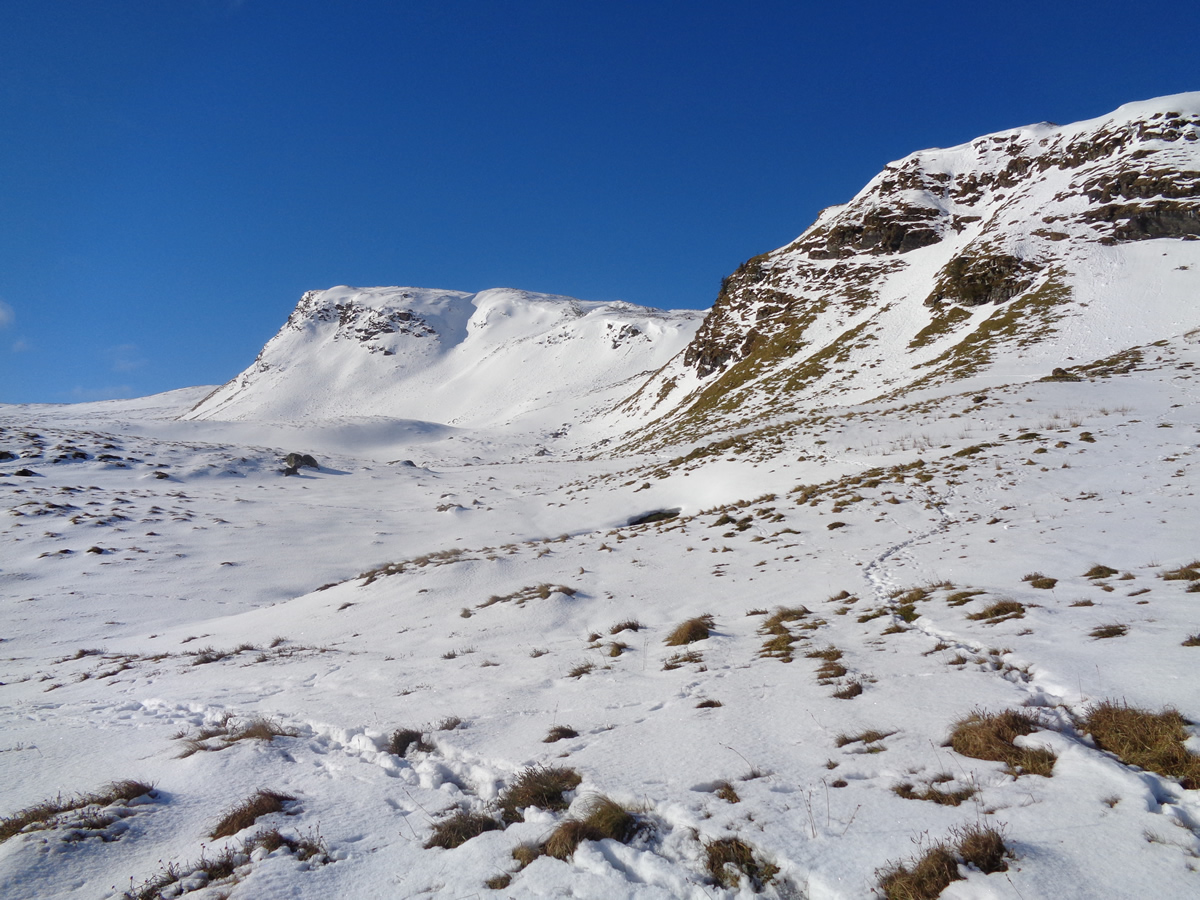
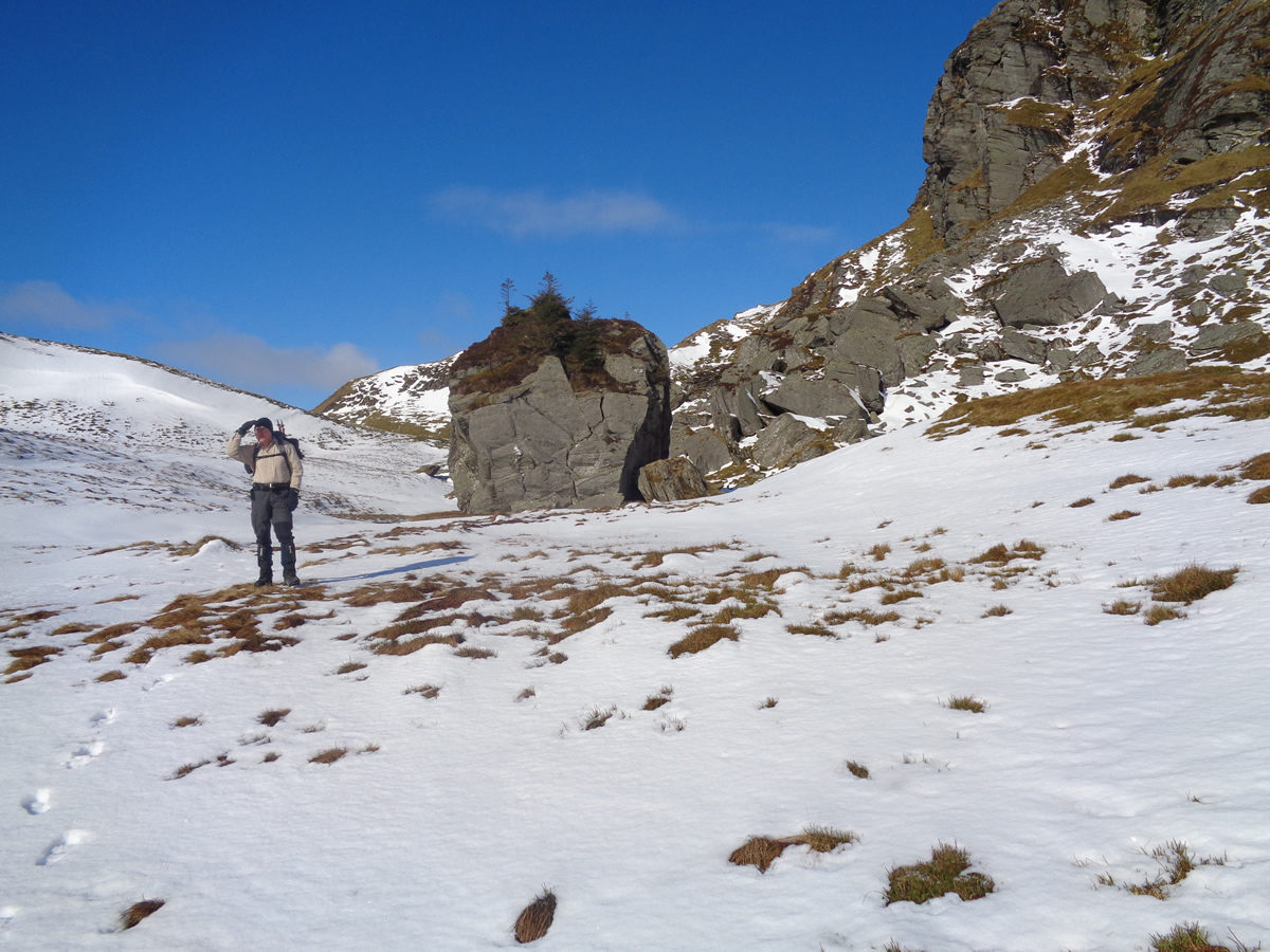
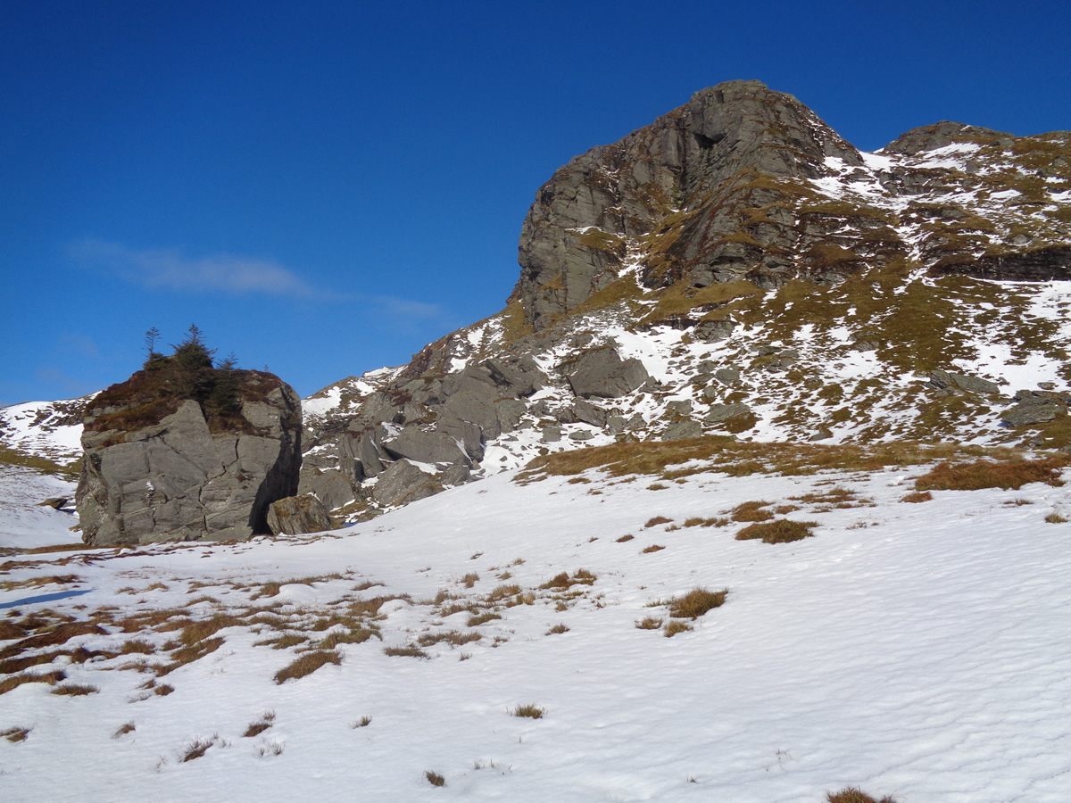
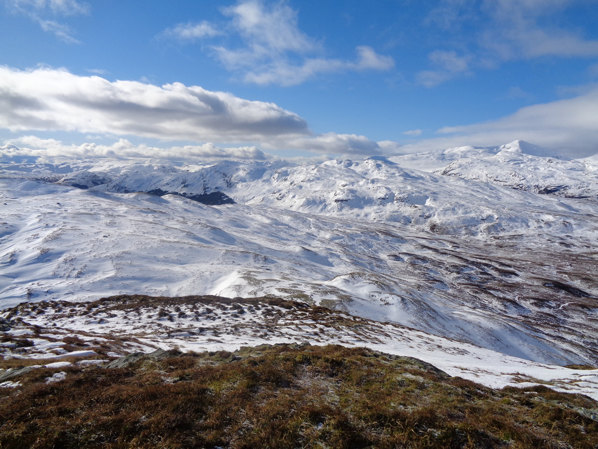
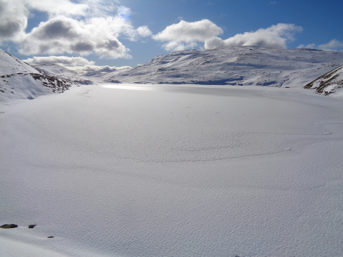
A broad, well surfaced forest track heads uphill through Kirkton Glen to break out of the forest boundary just a few hundred metres from the crags of Leum An Eireannaich and the huge boulder with the dubious name of Rob Roy's Putting Stone. Skirting below the crags and over a small rise we were greeted with the flat, unbroken surface of Lochan an Eireannaich, completely frozen over and covered in a smooth topping of snow which glistened in the bright sunlight - just wonderful.
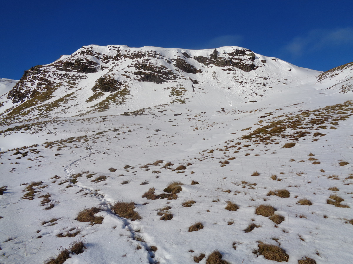
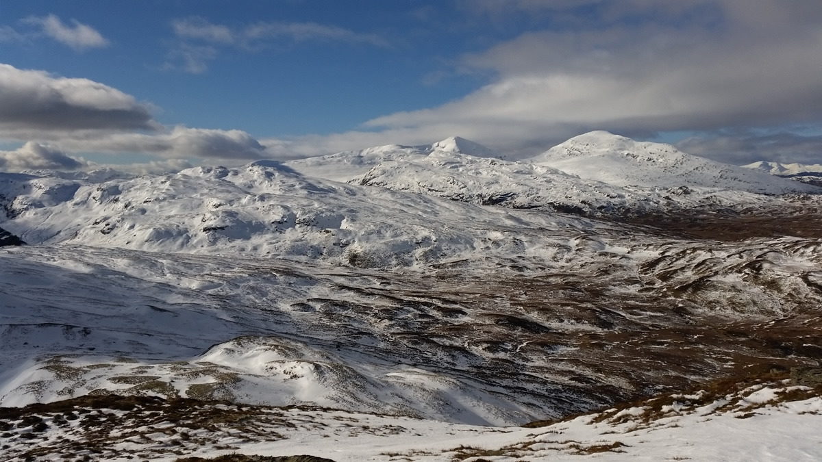
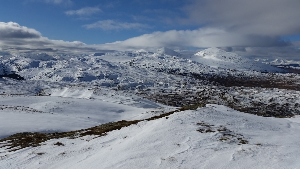
From the northern edge of the lochan we climbed the steep rock and grass slopes, towards the 712m summit of Leum An Eireannaich, a climb that required some careful route selection as we crossed sections of snow and ice covered rocks before reaching the small cairn above the crags; but our reward was some wonderful panoramic view of snow covered hills in all direction, with Ben Lomond looking a true pinnacle of white as we looked westwards. From here we headed north east over ever deepening snow cover to the westernmost 789m top, our start point on the ridge.
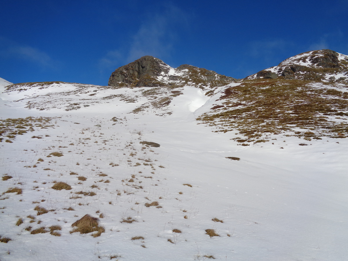
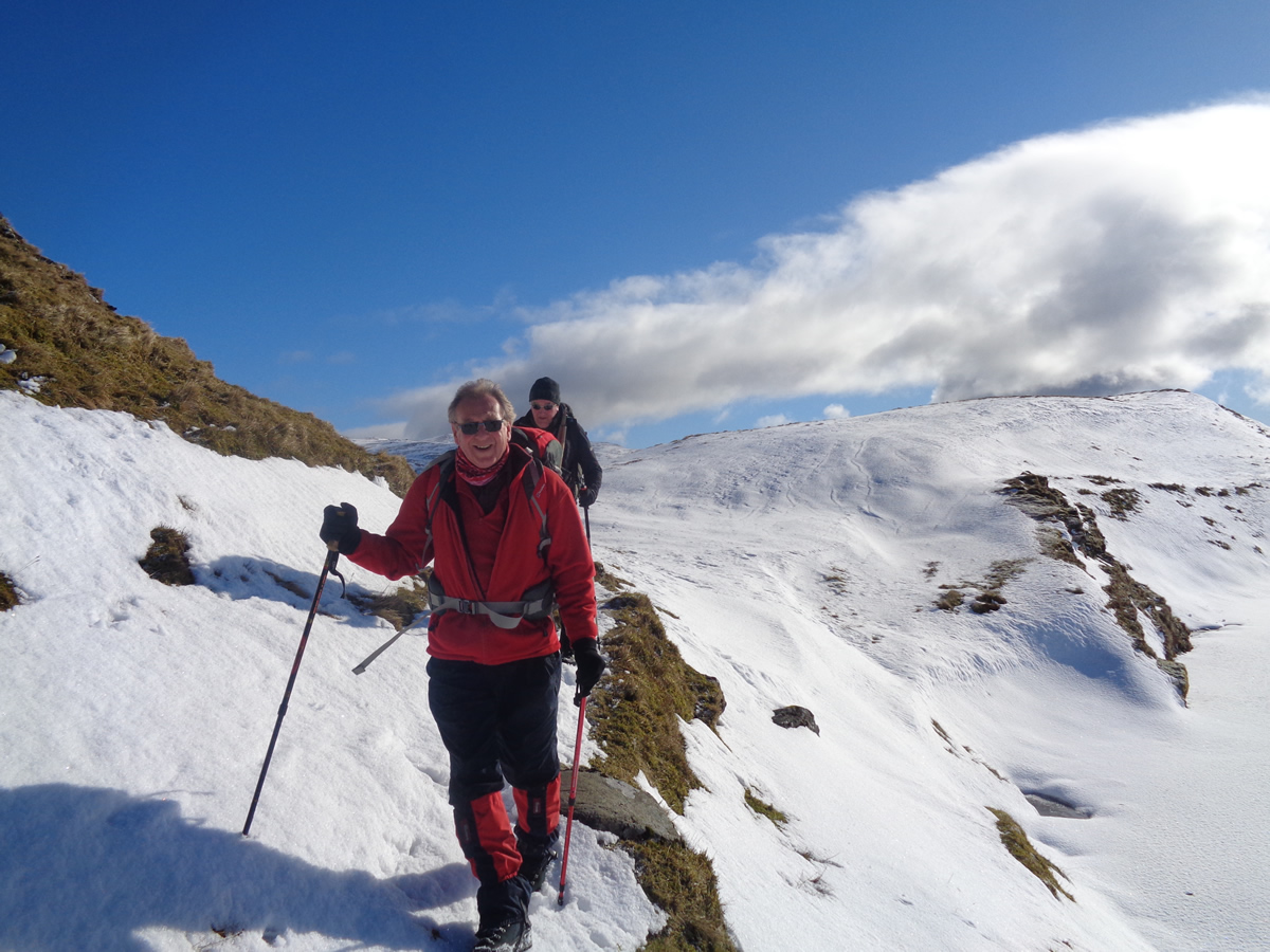
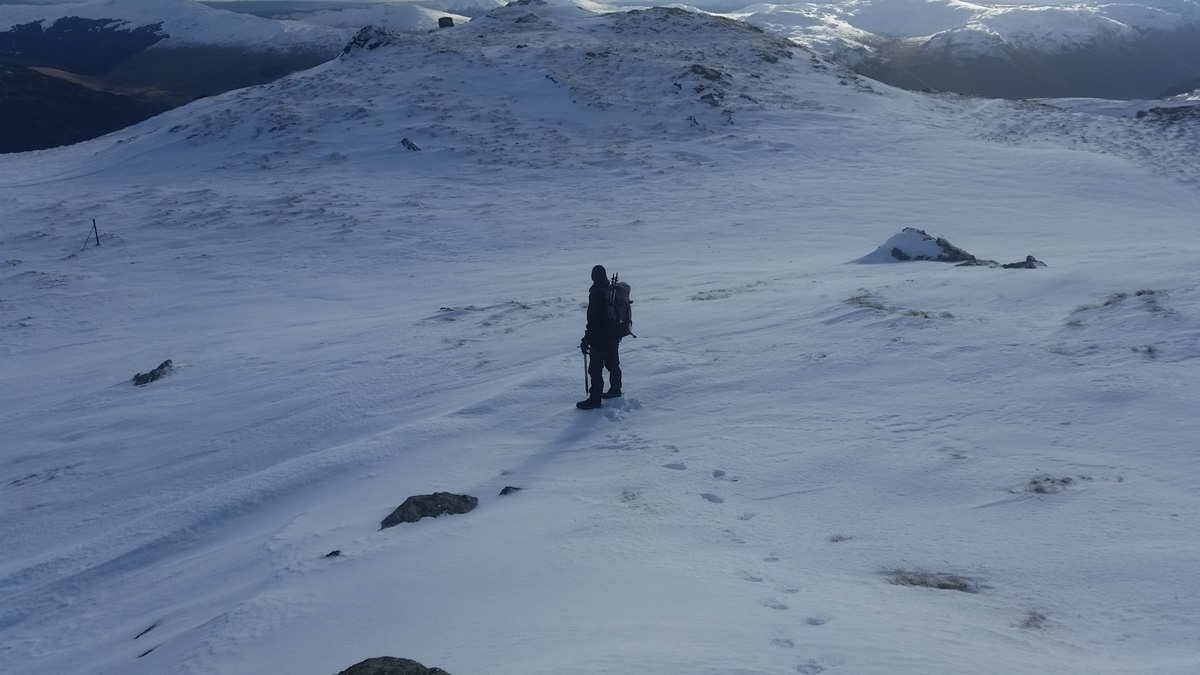
The summit of Meall An t-Seallaidh was still over 3 kms away, across a broad, complex and undulating ridge, made that more of a challenge by a number of cornice's, that although small in comparison to those of the greater mountains, were still enough of a hazard to warrant a detour in order to by-pass at a safe distance. We continued our relentless push towards Cam Chreag, a 812m top the approach to which had us once more scaling a steep slope of ice and snow before the final 800m of relatively easy walking on crisp snow to the Trig Point on the 852m summit of Meall An t-Seallaidh - . a fitting reward after a walk of just under 6 hours!
Thankfully, the second of those 789m tops which we were aiming to complete lies just a mere 800m from the summit, and so it was a short downhill stroll to this point before we eventually swung south down gentle, snow covered slopes towards the rocky outcrop at Creag Mhullaich, and onwards to join the forest track for a short descent back to the Kirk and Rob Roy's Grave.
A brilliant day on a wonderful mountain in the grandest of company - Thanks.
Meall An t-Seallaidh - Photo Gallery
Click any photo to activate large screen photo gallery