Tullich Hill(632m)
Sunday 14th February 2016
8kms
5hrs
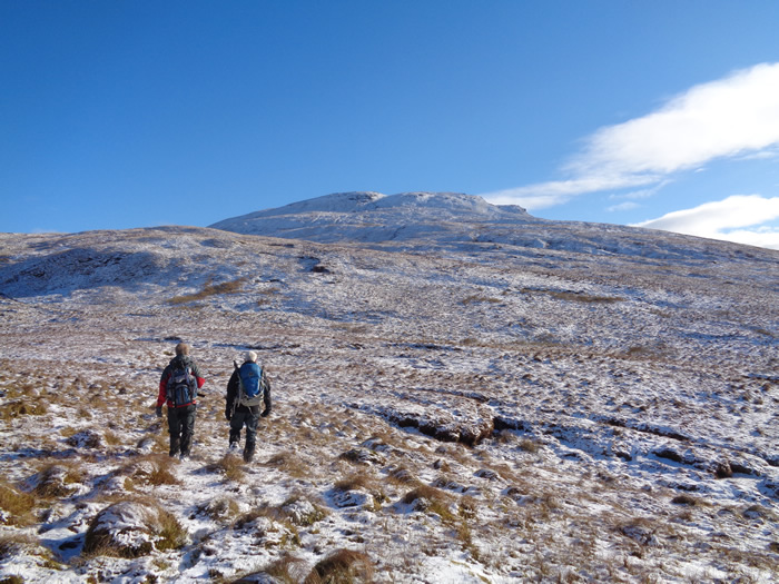
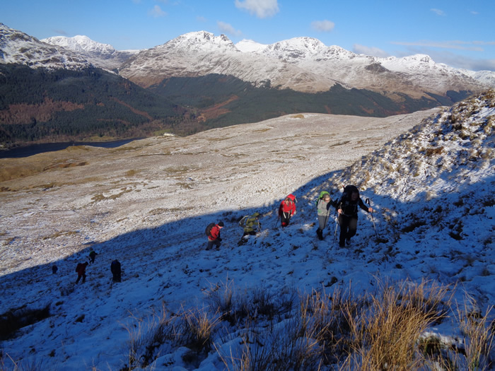
After what seemed like weeks of wet, grey days, it was heartening to see blue skies and a covering of snow on the hillside as we set off from Glen Douglas up the grassy ridge to the east of the gully carrying the tumbling waters of Douglas Water to a suitable crossing point at the top of the tree-lined gully to where the grassy western slopes of Tullich Hill lay ahead of us.
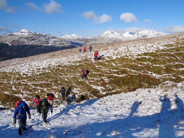
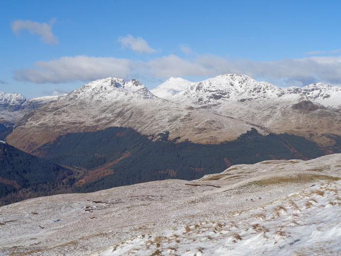
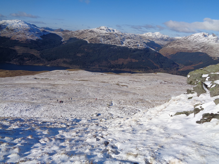
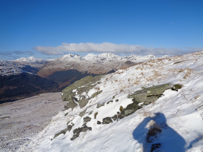
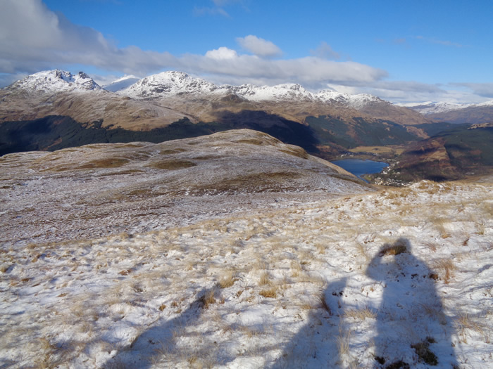
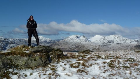
Enjoying the sun and blue skies we were in no hurry to scramble up the hillside, and so we made a steady ascent up the undulating grassy ridges, the frozen ground making for good walking conditions underfoot and as we gained height a light covering of snow added a wintery theme to the hillside. Around us, the mightier mountains of the Arrochar Alps shone bright white under what was obviously a much deeper covering of snow.
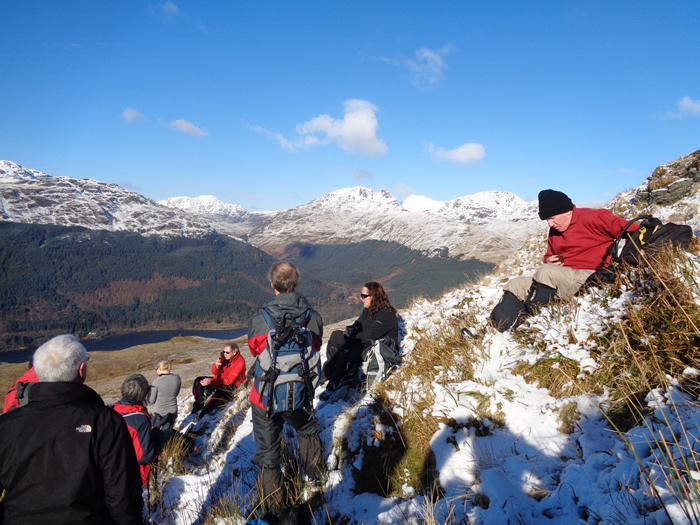
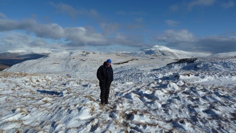
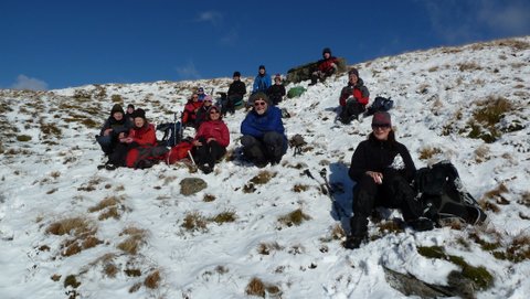
The broad, bare summit plateau of Tullich Hill reminded us that this was, after all, a winters walk, as the temperature dropped quite suddenly as the breeze picked up, and forced us to look to the southerly slopes for a more sheltered spot in which to settle down and have a well earned lunch, out of the wind and basking in the bright sunshine.
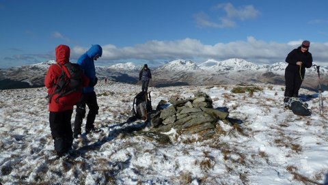
Walking just a few metres north of the summit cairn the Trig Point on the lower top of Monadh Tighe na Laraich on the northern ridgeline is clearly visible at just over 1½ kms away. However, by one of the quirks of this undulating hillside the Trig Point continually appears and then immediately disappears as you rise to the top of each undulation and then drop down a few metres to cross a depression, before rising once again to a minor crest from which the Trig Point seems to be now nearer than it was before.
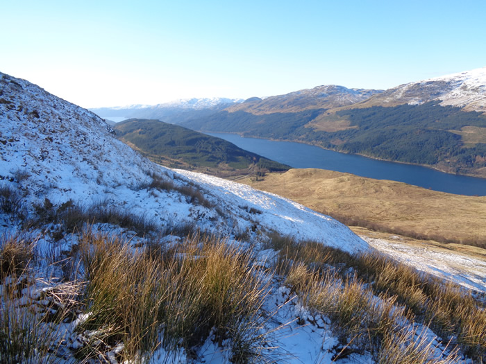
A gentle descent south west from the Trig Point brought us back to the head of the Douglas Water gully and any easy crossing of the waters before swinging downhill to join the track of the Three Lochs Way for our return to Glen Douglas.
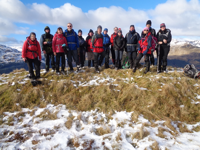
An excellent day for a my return to the hills - Thanks Mike.
Tullich Hill - Photo Gallery
Click any photo to activate large screen photo gallery