The Paps of Luss & Beinn Chaorach(713m)
Sunday 20th September 2015
14.5kms
7hrs
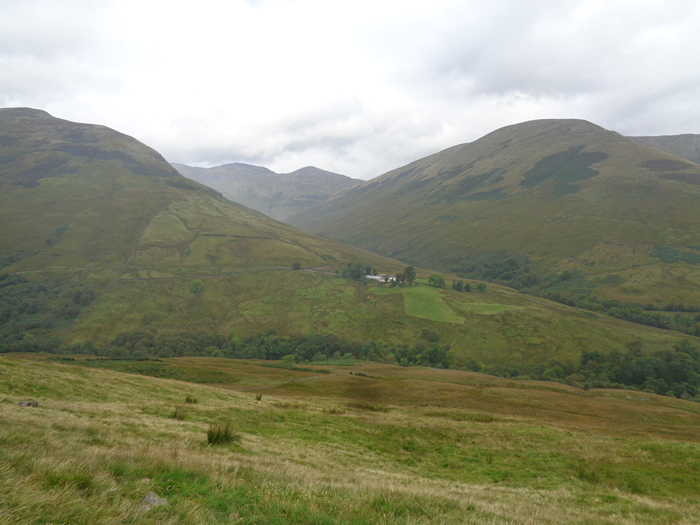
With recent journeys as far afield as Skye, Kintail and Glen Coe it was rather nice to just pop up the road to Glen Luss and be walking within 30 minutes of leaving home; even if it meant an early start due to the limited parking at the head of the glen. Today it was just Alan and myself, so we were off to wander around a circuit of Glen Luss, taking in The Paps of Luss and Beinn Chaorach.
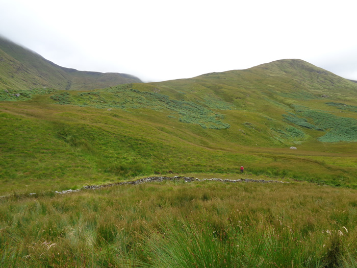
A very quick recce on Friday had confirmed that a new wooden footbridge had indeed replaced the old rickety one that spanned Luss Water just below Edentaggart Farm and it was to this crossing that we headed to gain access to the grassy northern slopes of The Paps; from where a steady uphill pull brought us to the flat, peat hagged top at 449m.
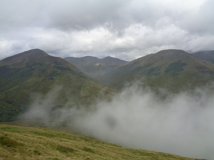
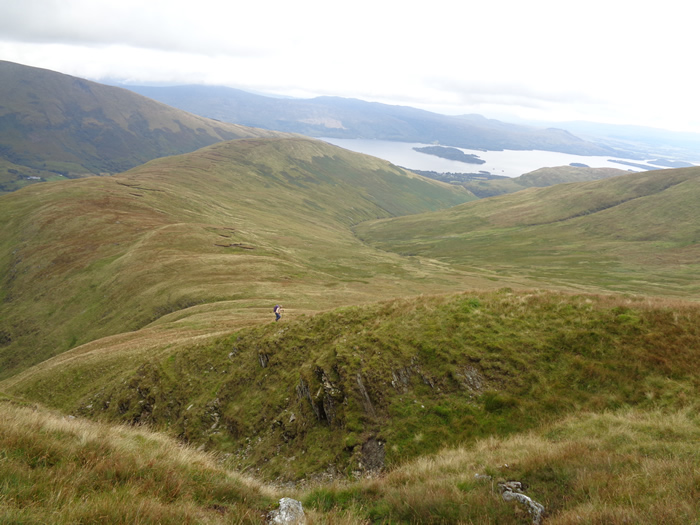
Unfortunately, our arrival at this top coincided with a band of mist sweeping up Glen Luss from Loch Lomond obscuring everything around us, and so it remained for almost the entire walk, with only very brief spells when we glimpsed the waters of the River Clyde or Loch Lomond through the grey haze.
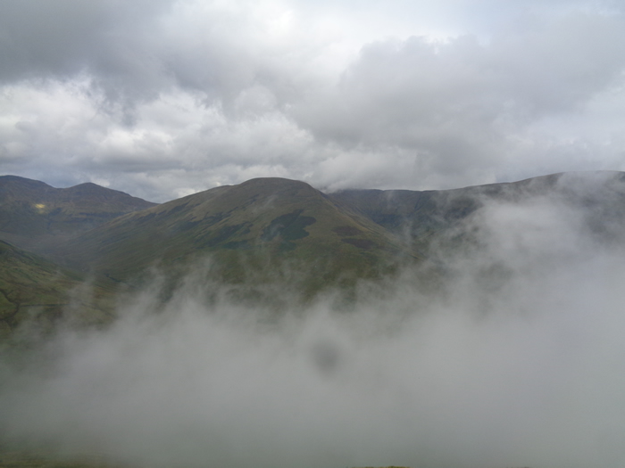
Nevertheless, we continued along the broad grassy ridge of Coille-eughain Hill and made the short, sharp ascent to the 657m top above Coire Cann before treading familiar ground as we joined the Balcnock - Beinn Tharsuinn - Beinn Chaorach fenceline towards the summit cairn and Trig Point on Beinn Chaorach, shrouded in mist, and with a chill wind blowing it felt very much like these were indeed the dying days of a very poor summer.
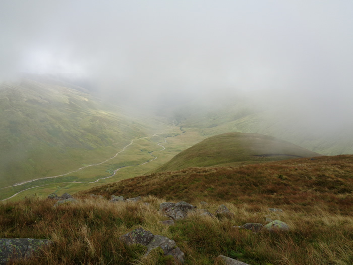
A few hundred metres north of the summit cairn we turned east and started our descent through the mist and down the long, grassy, and relatively easy slopes of Sron na Speireig, the eastern ridge of Beinn Chaorach at the base of which lies the ruins of a substantial sheepfold and, the grassy mounds that are all that remain of the Shielings that once graced this part of the glen and gave their name to Sheiling Burn whose course we followed as it flowed to join the upper reaches of Luss Water.
An easy crossing of Luss Water and a short climb up the steep sides saw us onto the fairly substantial track that runs from the abandoned farm at Gleann na Caorainn through the glen to the farm at Edentaggart, from where, it was a short walk back to our starting point at the end of the road into Glen Luss.
Little hills they may be in comparison to their more northerly neighbours, but the Luss Hills always offers an interesting days walking.
The Paps of Luss & Beinn Chaorach - Photo Gallery
Click any photo to activate large screen photo gallery