Meall An Fhudair(764m)
Wednesday 16th September 2015
15kms
7hrs
It has been quite some time since we managed a Wednesday mid-week walk, but with a rare high hanging over the west coast for a day or two, how could we pass up such an opportunity; and so we settled for Meall an Fhudair, which had beaten us earlier in the year when torrential rain and winds kept us at low level around the Hydro access track.
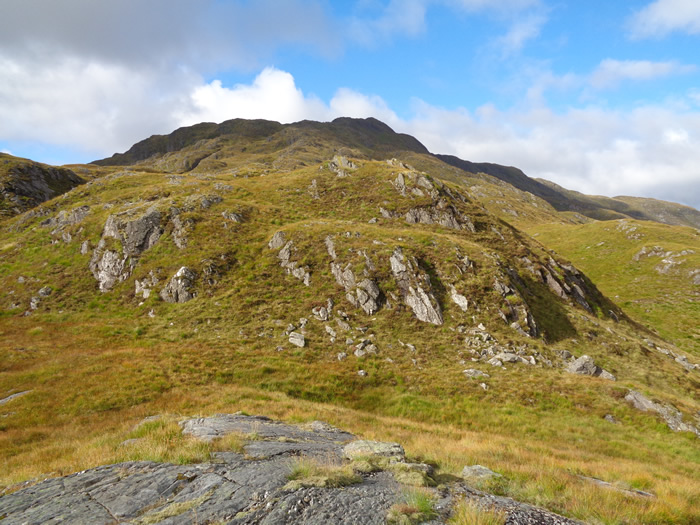
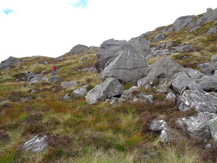
No easy walk-in on this walk, through the access gate and straight up the steep zigzag path which takes you around the base of Troisgeach Bheag before doubling-back to take you above this rocky mound and onto the base of the north east ridge to Troisgeach, the 733m summit that is the first top of the day.
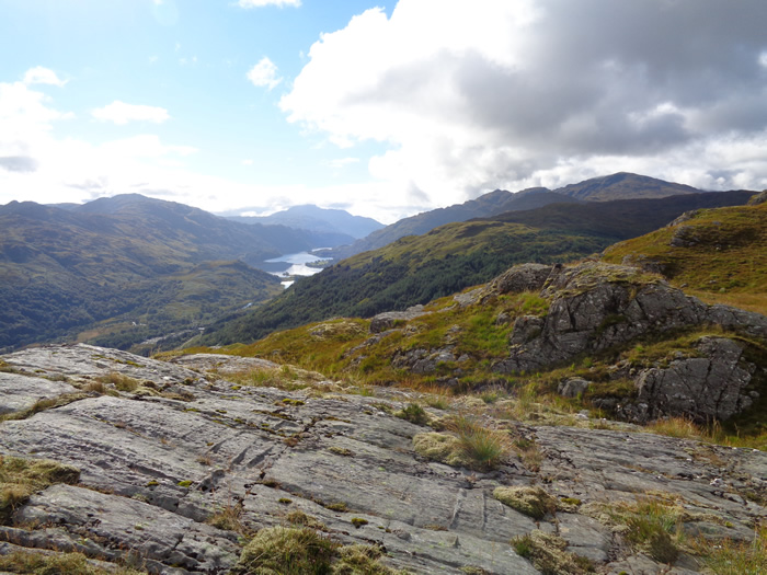
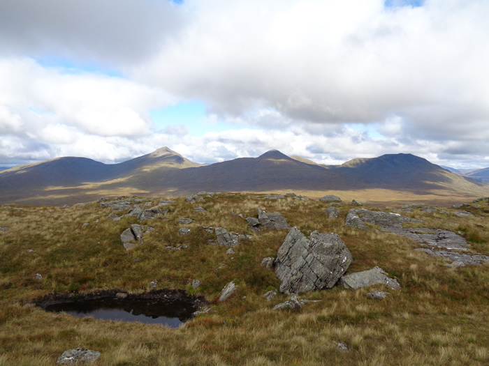
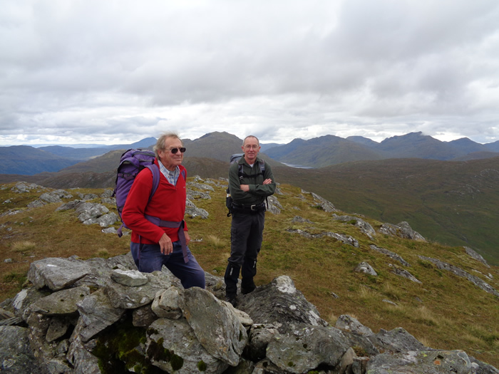
A close inspection of the map will show you that the contours of this ridge look like they have been drawn by a very shaky hand, no nice smooth curves, just scribbles and wiggles all over the map - and that is how it feels climbing this ridge, it is not steep by some standards, but it is never-the-less a hard slog over a variable surface of deep toughs of grass, heather and rocky outcrops as you climb, descend, twist and turn via outcrops, gullies and high points, never quite staying in a direct line of approach at any point. But is is a very interesting climb, and very enjoyable, with some great views over the upper reaches of Loch Lomond.
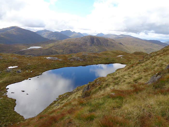
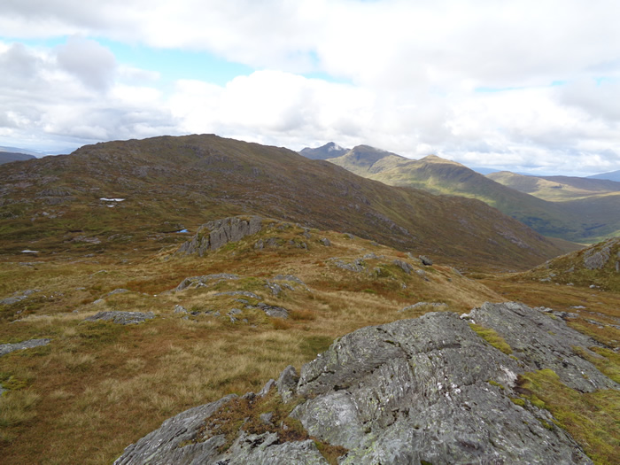
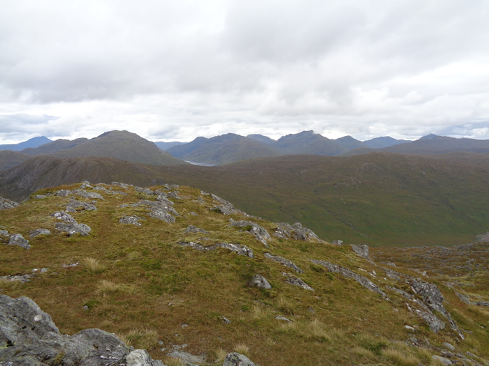
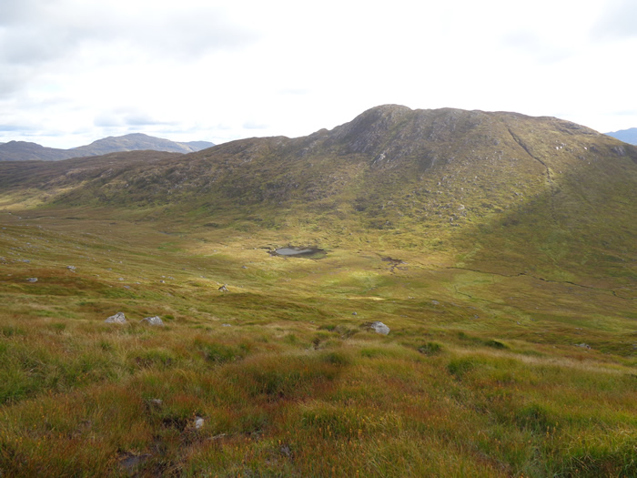
Eventually, the broken ridge reaches a small lochan, the first of many from this point onwards, which lies just below the summit of Troisgeach and leads to the final, slightly steeper climb to the undulating summit plateau of this 733m top. From here, given good visibility, the remainder of the days tops are clearly visible - seven-hundred metres north west, the equally undulating top of Meall nan Caora is soon reached after an easy stroll passed yet more small lochans.
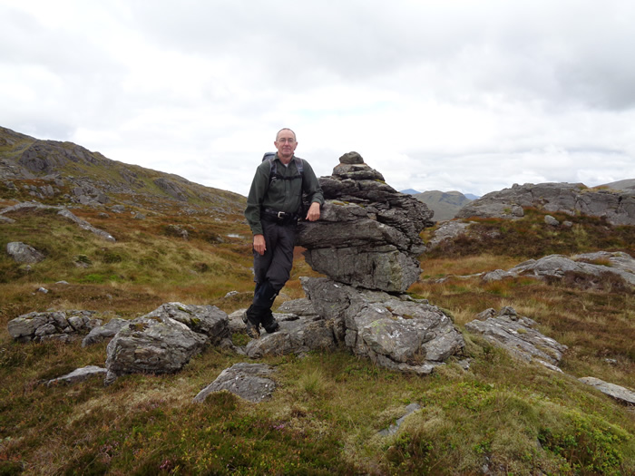
And onwards from Meall nan Caora on a south west descent, picking our way around the numerous small lochans and wet boggy areas to reach yet another undulating ridgeline for the final ascent to the shelter stones at 764m on the summit of Meall an Fhudair. This may not be the highest of summits, but it has a distinct and unique feel about it, a great little top to lie back, enjoy your lunch and soak in the views.
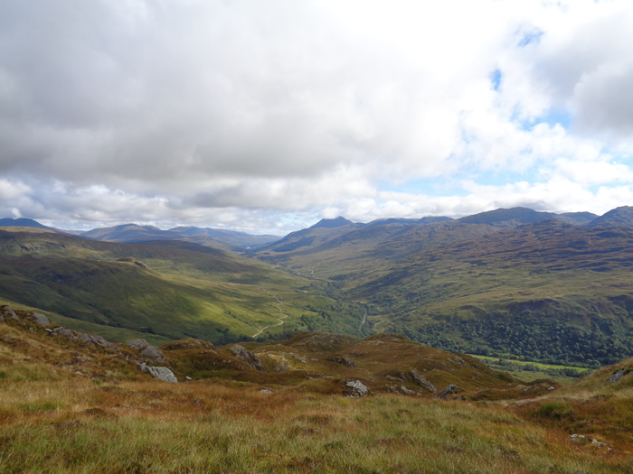
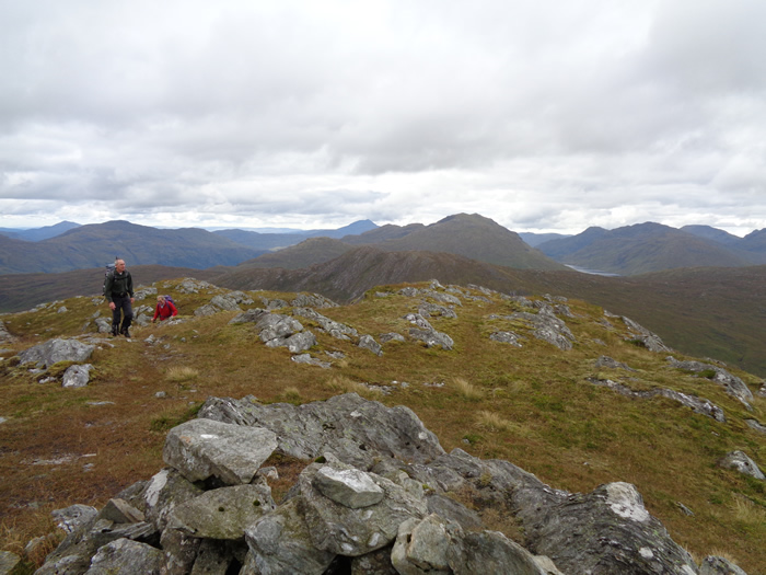
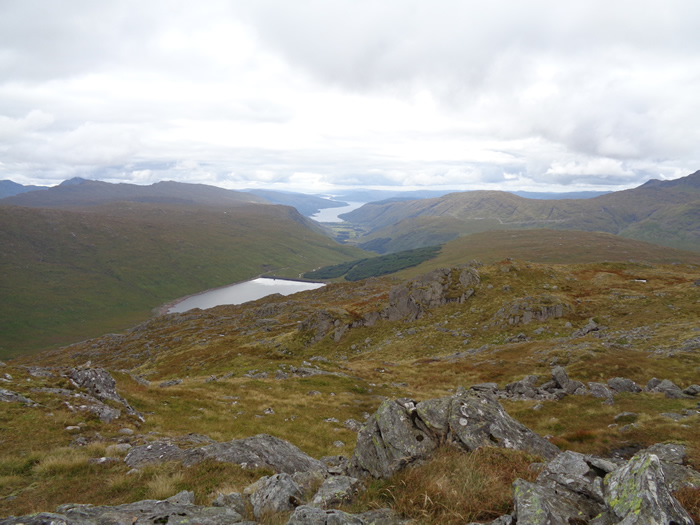
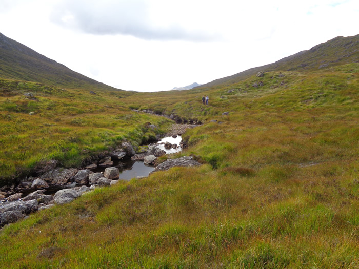
We made a south east descent from the summit, over some very awkward ground, deep grass and rocks, towards the un-named lochan at the 382m watershed in the Lairig Arnan, from where it was a rather wet and boggy underfoot as we paralleled the Allt Arnan east until we joined the Hydro access track at the water intake and dam about 2 kilometres east of the watershed; thence onwards at an easy stroll back downhill via the zigzags to our start point.
A great little hill, with plenty of character, but, I would suggest that it is not one to take on in poor weather and limited visibility as the complexity of the ridges and maze of small lochans, easy and interesting in clear visibility, would require careful navigation in poor visibility.
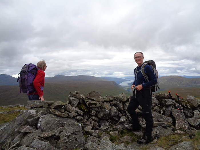
Great day - Thanks guys.
Meall An Fhudair - Photo Gallery
Click any photo to activate large screen photo gallery