Beinn Mhor(741m) & Clach Bheinn(643m)
Sunday 25th May 2014
16kms
7hrs 30mins
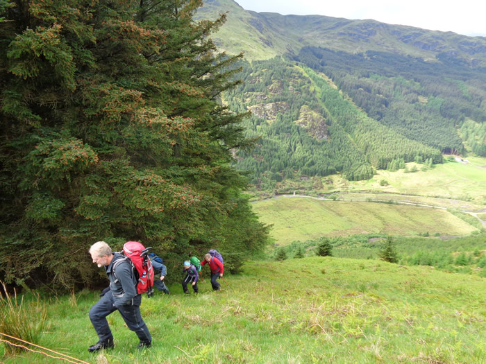
Coincidentally, it was this same week, although on the Wednesday, last year that Alan and I completed this walk, at the end of which we decided to submit it as a programmed walk for this year - I think the rather perverse feeling was, "It's a dammed hard start, so why should we be the only two to do it?". And, so along with six unsuspecting souls, we were once again setting out from Stonefield, with the beautiful hillsides of Glen Massan rising steeply all around us.
Nothing much had changed in a year, the initial start was still as steep, the breathing still as laboured, and the lungs gasping. Only real difference was that there were a dozen more straining legs grateful to reach the 547m minor top of Creachan Beag, and a promise that the hardest part of the day was over, albeit, there was still a long day of walking ahead.
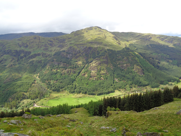
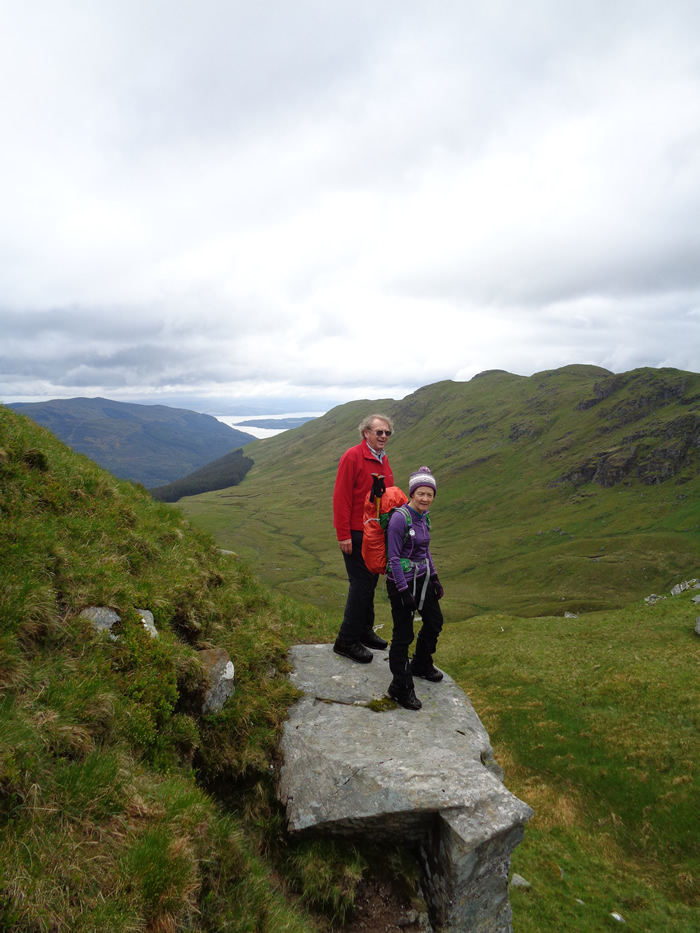
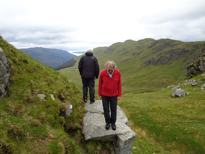
A short rest, just long enough to take in the view south over Dunoon and the Firth of Clyde, and to observe the rain clouds gathering along the coastline, threatening to deliver the forecast showers for the day ahead. In comparison to the start, a pleasant stroll took us along the high, grassy, and quite undulating ridge between Creachan Beag and Creachan Mor before we made a sweeping curve around the flatter head of Coire nan Cleireach and the short, but interesting climb up to the summit of our first top of the day, the 643m Clach Bheinn.
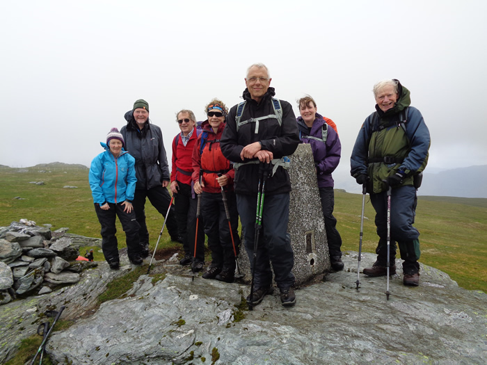
The cairn sits on the 643m top, but we choose to take the short walk over the small dip to the 640m northern top for our lunch break and to watch the rain as it swept just south of us across the coast and onwards towards Arran. By the time we had finished our short break, we were digging out the waterproofs, as the first squally showers blew across Loch Eck and accompanied us at intervals for the remainder of the day.
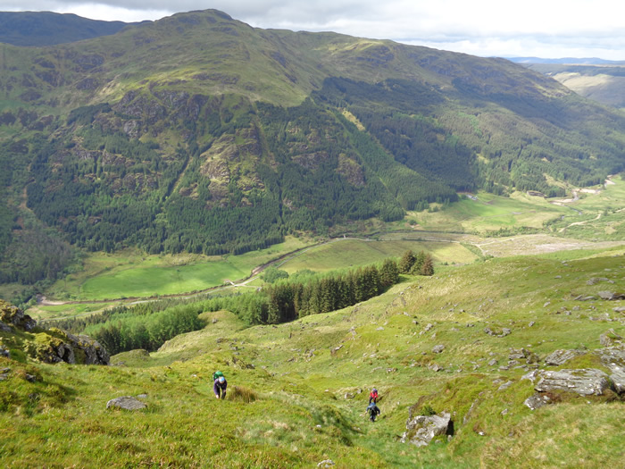
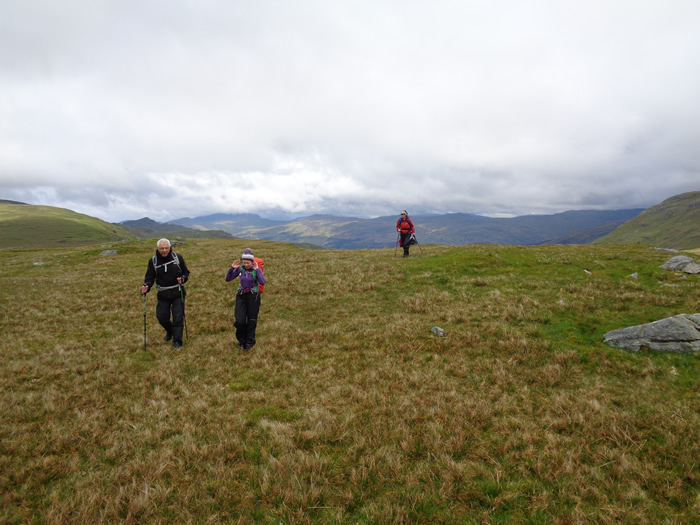
We descended from Clach Bheinn and made our way over the very wet, flat grassland that stretches from the base of Clach Bheinn to the western edge of the broad ridge at Capull Cloiche; a crossing that was not without its lighter moments as one of our group did a "Tom Daley" and just saved herself from going headlong into the bog, while another had us wondering whether he would leave his walking pole or his right boot in the mire. Thankfully, he managed to extract both.
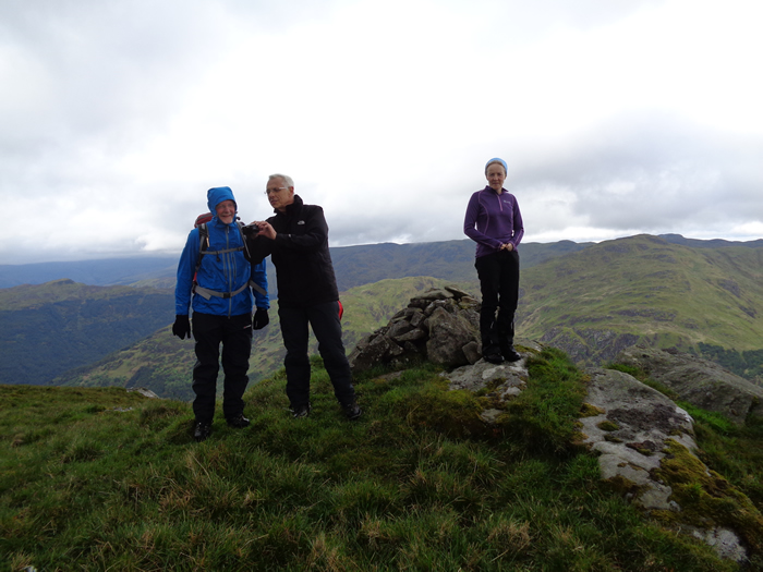
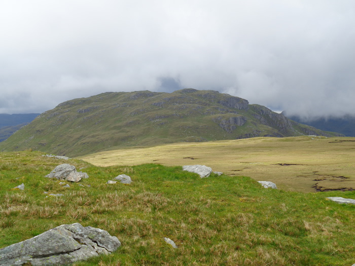
A fenceline runs all the way from the edge of Capull Cloiche to the summit of Beinn Mhor with the temptation to follow it directly; however, to do so robs you of the chance to gaze down the steep eastern slopes of the ridge into Coire an t-Sith and to view the impressive crags which line the northern face of Clach Bheinn that a small detour to the east of the fenceline provides. Making this short detour, we then followed the curve of the ridge to the minor top of Meall Dubh, at 649m, before heading west over the still grassy hillside towards our main objective, the Trig Point and summit of Beinn Mhor, at 741m the highest peak in the Cowal Peninsula.
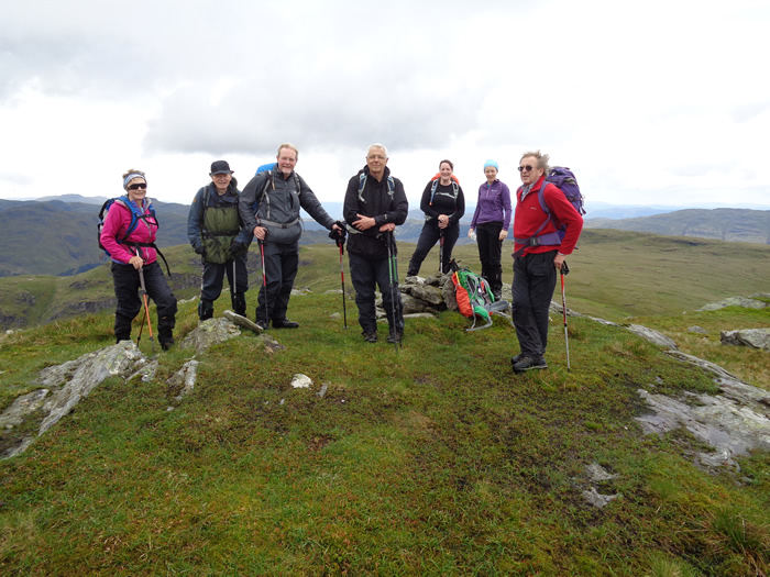
Having taken the obligatory summit photo, we were just about to settle down for a short break when Michael suggested we look behind us at what was heading our way. Dark, black clouds and very heavy looking rain put any thoughts of a break out of the question, and so we smartly headed off and made our descent of the southwest ridge heading for our drop-off point at around the 590m height before descending southeast to find our entry point into the forest from where we would pick up the forest track for our return to Glenmassan.
On our previous walk, I had led us into the forest and down a grassy opening alongside a small stream, which eventually ended in thick woodland, through which we battled for a short distance before we found the main forest track. Not wanting to repeat the experience this time, I was convinced that the true entry point was some 50 metres south of this clearing; and so, having found the clearing, we moved along the forest boundary, and sure enough, hardly 50 metres away was a flat grass clearing running through the forest for 100 metres or so before meeting up with the end of the forest track - success.
Sheltered by the high canopy of trees, we made the long walk down through the forest, in what was the heaviest rain of the day and onto the estate track at Glenmasson, by which time the rain had eased somewhat which made the walk back along the estate track to Stonefield a pleasant end to the day.
Thanks everyone, I hope you enjoyed the day as much as I did.
Beinn Mhor & Clach Bheinn - Photo Gallery
Click any photo to activate large screen photo gallery