Creag Mac Ranaich(809m) & Meall An t-Sealaidh(852m)
Sunday 11th May 2014
15kms
7hrs
Situated as they are as sentinels on either side of the bealach at the head of Glen Kendrum, the usual approach to these two Corbetts from Lochearnhead is via the good ATV track to the head of the glen. The downside is, that it is a long 8km haul from Lochearnhead to the bealach, and again for the return once both mountain tops have been climbed. Having the luxury of two cars available, we decided on a linear route starting from the A85 at the head of Glen Ogle a few hundred metres beyond the southern end of Lochan Lairig Cheile and finishing at Lochearnhead.
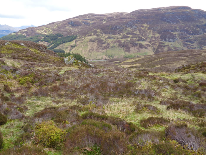
Crossing the A85 from our parking spot, an old stone bridge leads you over the old railway line (now a tarmac cycle track) and onto the open hillside alongside a small pine forest. We climbed generally south west over some very rough ground, a mixture of heather covered boulders, wet reed beds and small craggy outcrops towards the crags lining the upper slopes of the 707m top at Meall Sgallachd.
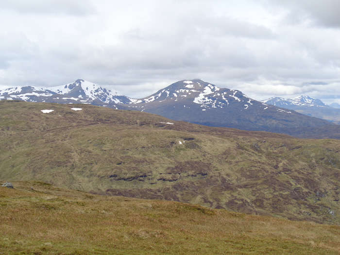
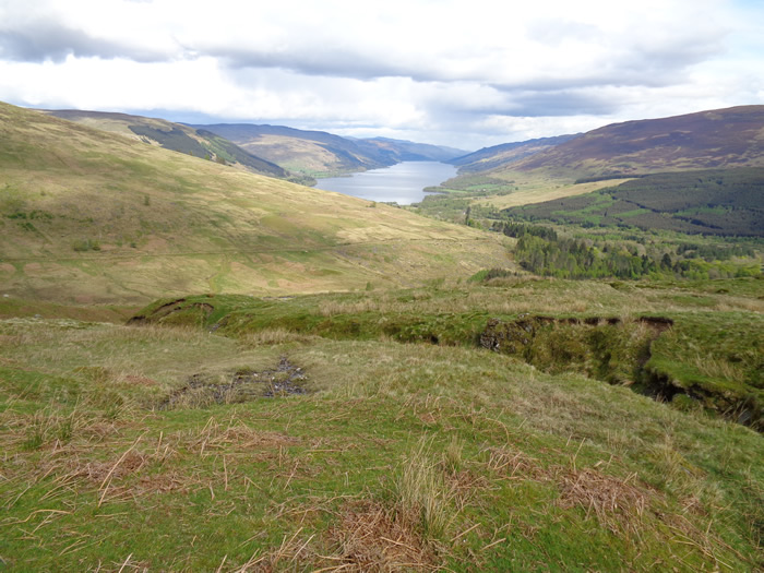
Skirting to the north of the 707m top, we scrambled up some wet rock and grass to gain the flatter ground just north of the summit and traversed around towards the bealach between Meall Sgallachd and the north east shoulder of Creag Mac Ranaich. Already, the views were opening up, with Ben More and Stob Binnein dominating the immediate horizons, and with visibility beyond 30k, we could see the outlined summit of Ben Lui. Such a bonus, as the rain and lower cloud bases that had been forecast had not materialised. and we were enjoying some broken sunshine and a fairly high cloud base, although there were some threatening looking clouds starting to form to the north.
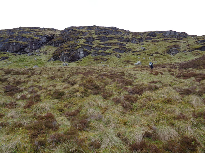
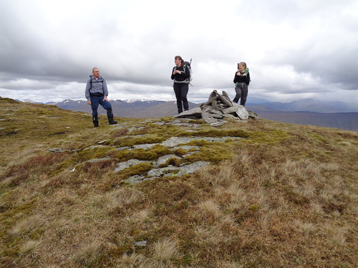
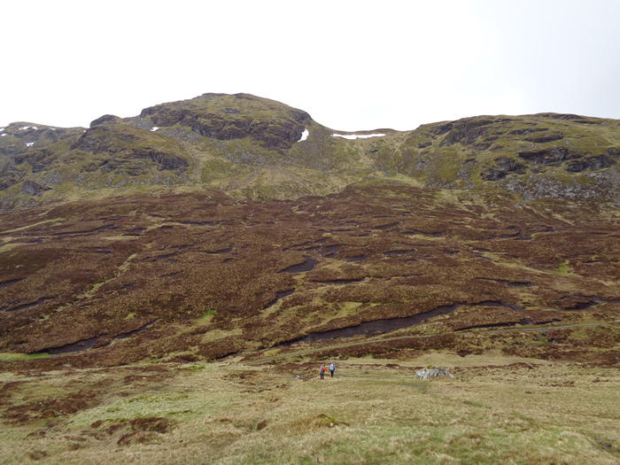
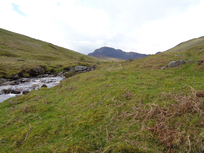
Once on the north east shoulder the going eased somewhat, and the ground was more broken rock and grass as we gained the 772m top and continued over the ridge towards the 808m summit of Creag Mac Ranaich. A short break for lunch saw us donning waterproofs as a squall blew in from the north bringing some rather cold rain just as we were setting off for the descent to the 596m bealach, which seemed a long way below as we stood at the top of some very steep rock and grass slopes deliberating exactly where we would make our descent.
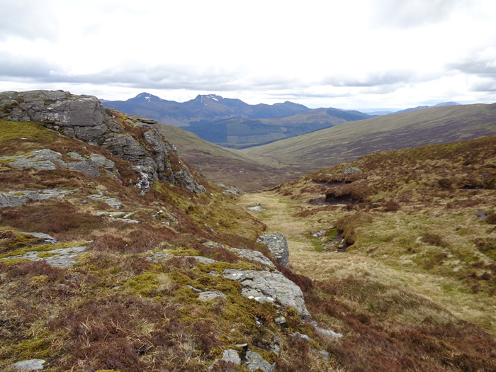
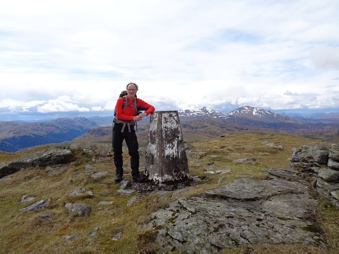
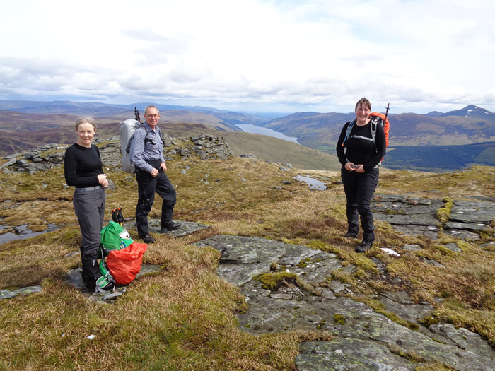
A few moments later we had found a favourable route down, and by weaving our way, between and under some impressive looking crags we eventually gained the lower slopes leading towards the ATV track over the bealach; only to repeat the process, but in reverse as we crossed the bealach and then surveyed a route up between rocks and crags to regain the height we had just lost and top the 757m top north west of Cam Chreag. A short walk, passed a small lochan and a short, but quite steep climb soon saw us reach the 812m northern top of Cam Chreag. By now, the squall and rain had passed, and we were again enjoying some bright clear weather, so it was waterproofs off and onwards over a very easy ridge towards our final summit, Meall an t'Seallaidh, at 852m the highest point of our walk.
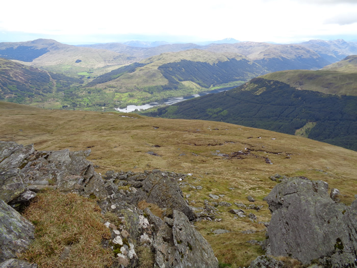
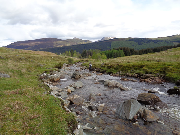
The views from here were quite outstanding, and, at one point, we looked down on the Cameron House seaplane as it flew up and around Loch Voil most probably on a sight-seeing tour of the Trossachs for some weekenders at Cameron House. After taking in the views, and a few more snacks, we headed south east down the long, grassy ridge from the summit before taking a curving descent down towards the Kendrum Burn which, once over, were then picked up the last few metres of the ATV track before making the old railway line and the cycle path which would take us into Lochearnhead and the second, pre-positioned car, which had made this alternative route possible.
Another very pleasant day, good walk, great company - Thanks All.
Creag Mac Ranaich & Meall An t-Sealaidh - Photo Gallery
Click any photo to activate large screen photo gallery