Cnoc Coinaich(762m)
Saturday 12th April 2014
15kms
6hrs
How do you turn a scheduled 9km walk into a 15km walk - Close the forest access road to the intended starting point. And so we parked up at the Ardgartan Picnic Area just off the A83 and walked the additional 3km towards the Coilessan Events Car Park, just to get the legs going before we hit the forest trail up into Coilessan Glen.
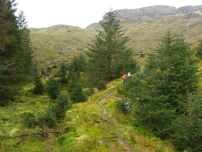
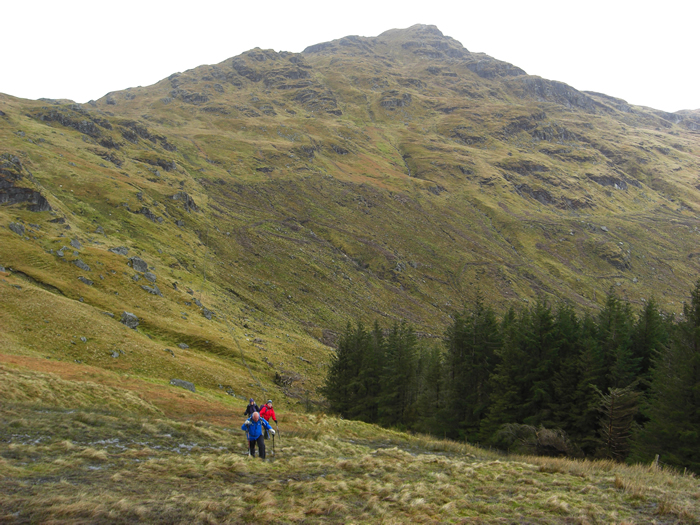
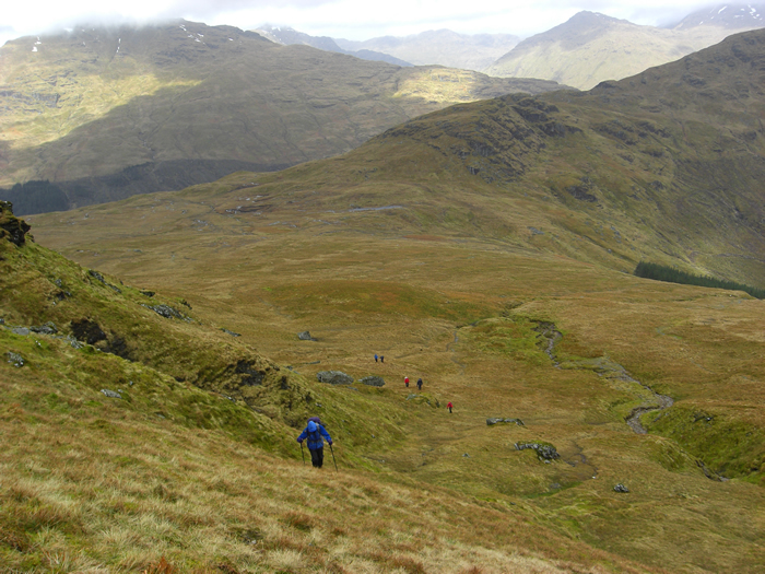
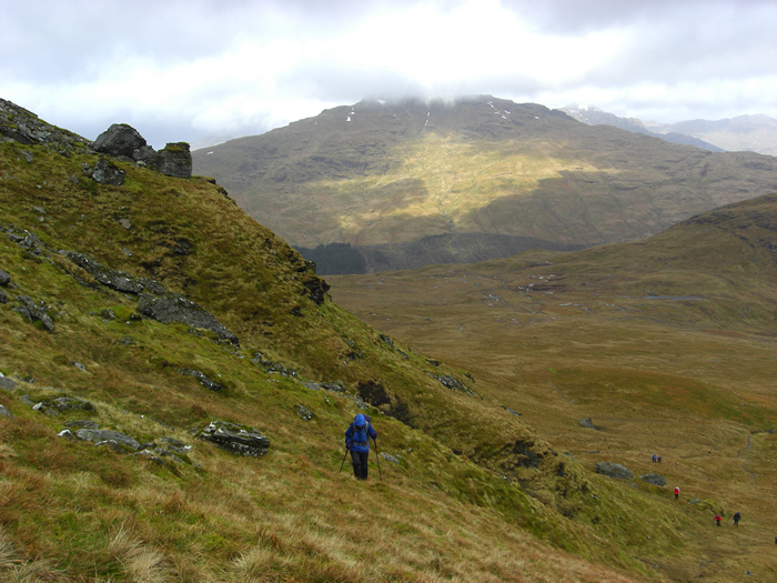
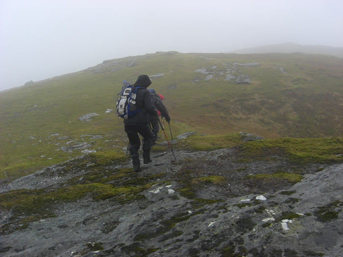
A good forest track rises through the forest towards the 450m height on the forest boundary, with only one relatively steep section as it approaches the gate leading from the forest into the open hillside. Lying just south of the access gate, our approach route to Cnoc Coinaich was over rough grassy slopes, which grew increasingly steeper as we gained height, with the final section demanding some effort before gaining the summit plateau.
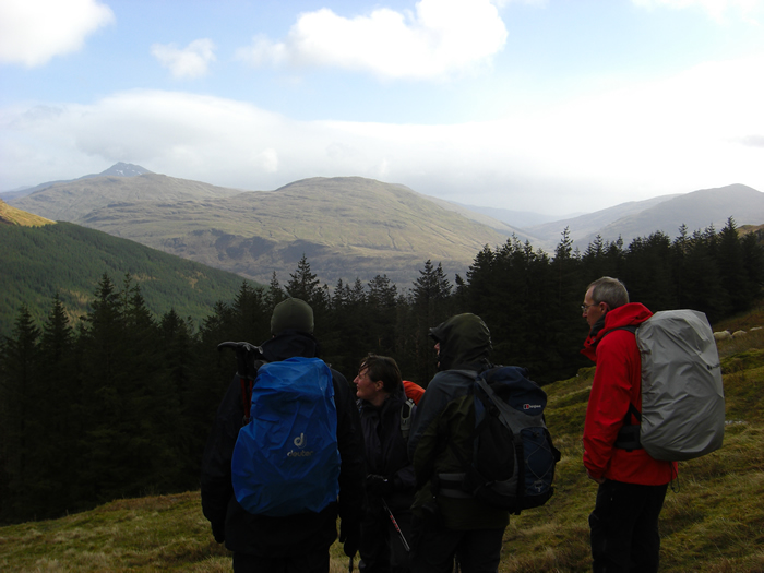
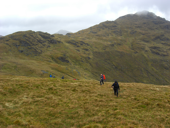
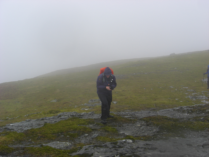
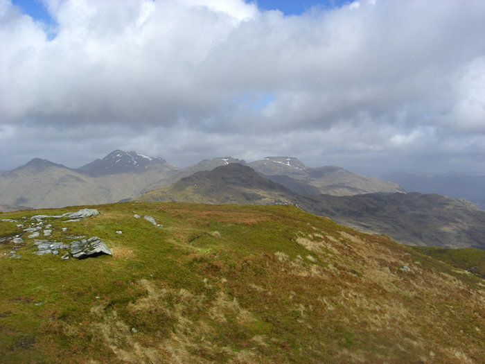
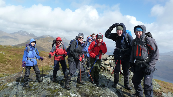
We had come this far with the weather varying from light rain and low clouds to periods of bright sunshine, so it was quite a shock as we hit the summit plateau to suddenly fine ourselves being battered by a quite ferocious wind which was sweeping up from the western side of the ridge and onto the summit area.
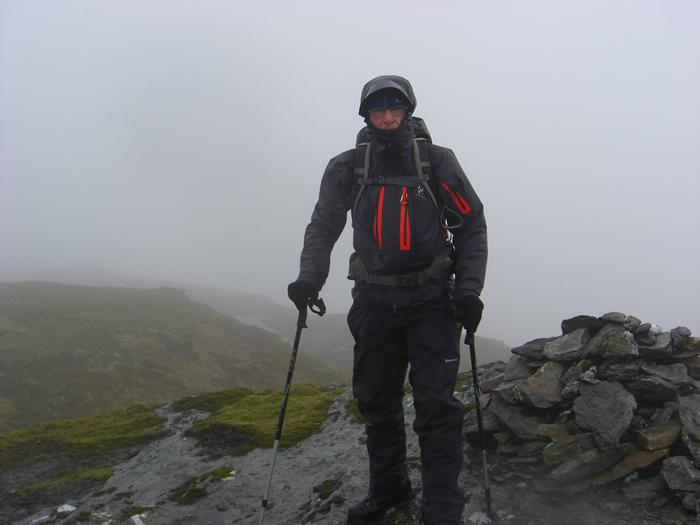
There were a few moments when we could not make progress, and simply stood bracing ourselves against the wind, and, it is even rumored, that D1SEC was seen to be blown flat by one particular blast of wind, although he denies it, saying he was only making a close inspection of some unusual rock formations! Fickle as the weather is, in the short period from the first arrivals on the summit to the group photo, we had gone from cloud and mist to clear blue skies, such is our Scottish weather. Albeit, the wind remained quite strong irrespective of the other factors.
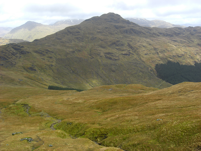
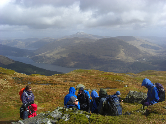
The intention had been to make our descent via the north west ridge back towards the Cowal LDP, however, given the wind, we simply dropped back into the more sheltered area to the east of the ridge and made a reverse route back towards the forest boundary. Even then, we did not entirely escape the wind, as one particularly vicious squall caught us just as we crossed the bealach and resulted in some raised eyebrows later when one of our fairer companions was heard thanking two "hulks", sorry gentlemen, for "pinning her to the ground"! Assuredly, all with the best intentions!
Great walk Michael - Thanks
Note: This mountain was upgraded from Graham to Corbett status in June 2016, its height being officially recognised at 762.5m whereas it had previously been recorded as 761m.
Cnoc Coinaich - Photo Gallery
Click any photo to activate large screen photo gallery