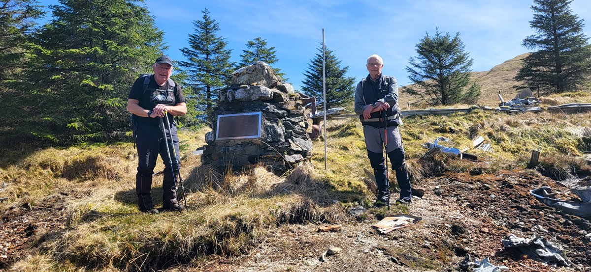
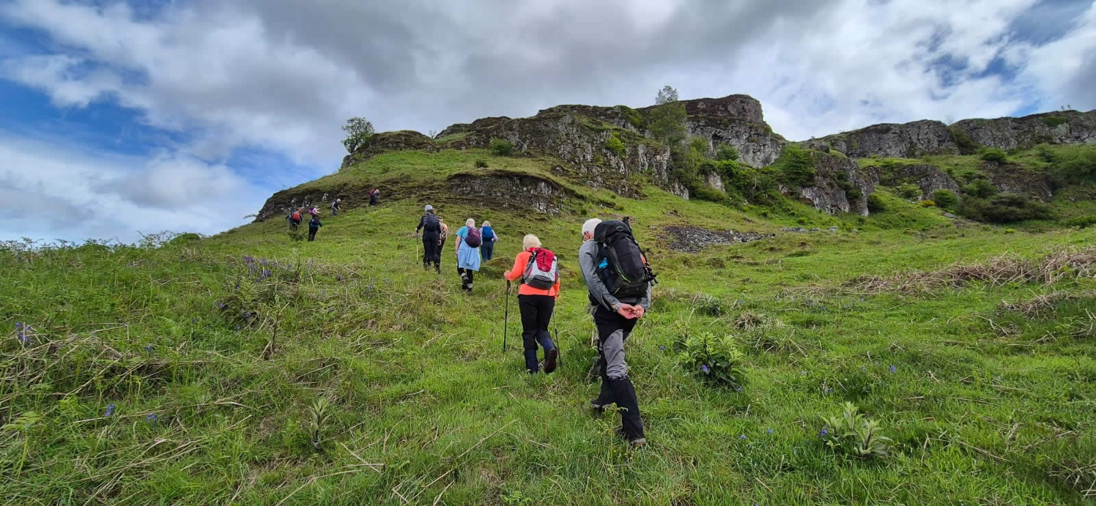
Latest Walk Report
Lang Craigs340m
Saturday 23rd May 2026
13kms
6hrs
Walk Reports
Munros
Corbetts
Hills & Coastal
Route Maps
Statistics
The database contains almost 500 walk reports and is searchable by mountain or walk name, partial name or simply a few characters of the name.
Walks within the database are categorised as Munros, Corbetts and Other Hills/Walks. Select a button below to see a full list of walks in selected category.
Although the database contains almost 500 walk reports, there are many mountains which I have only climbed once, there are also many which I have climbed multiple times. Each report however reflects the individual day on the mountain.
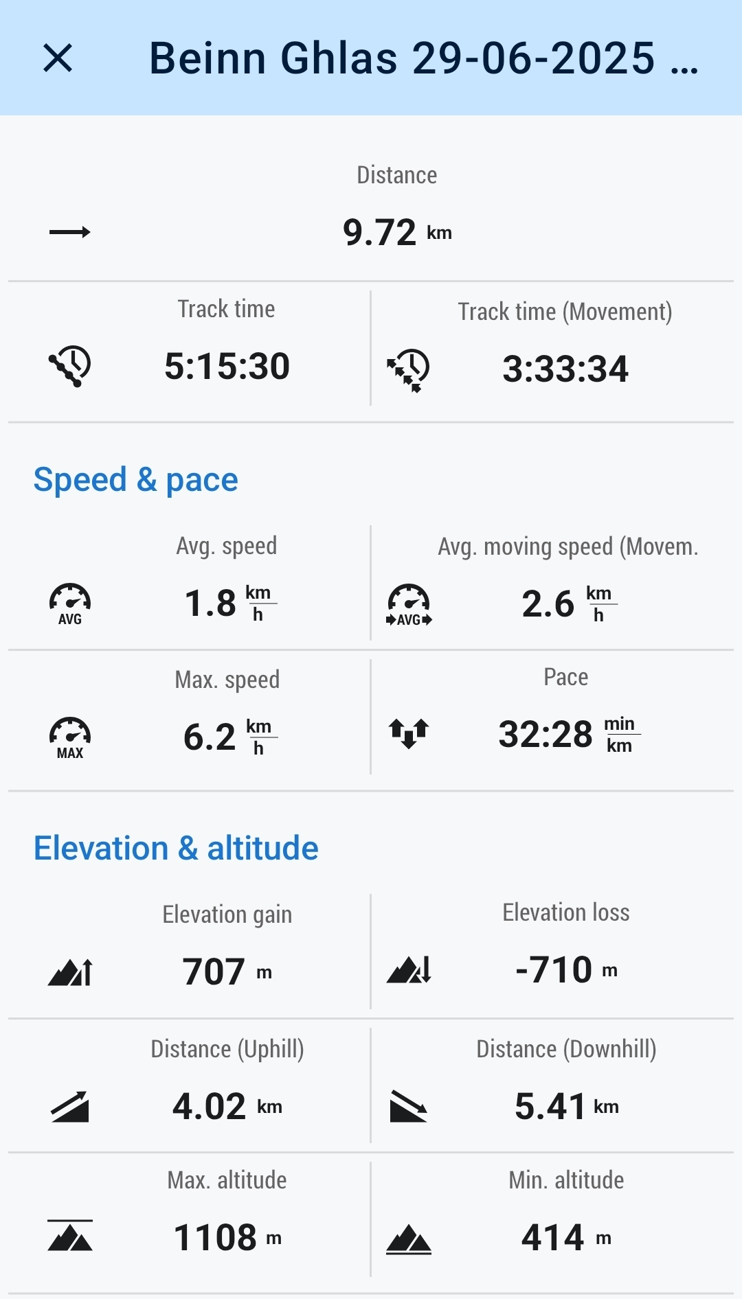
Click on the mini map on the report to activate a scaleable Ordnance Survey map overlayed with the gpx tracking for the route. The gpx track can be downloaded for your personal use if required, however, you must understand that I can accept no responsibility or liability as to the accuracy of the details contained in the downloaded file.
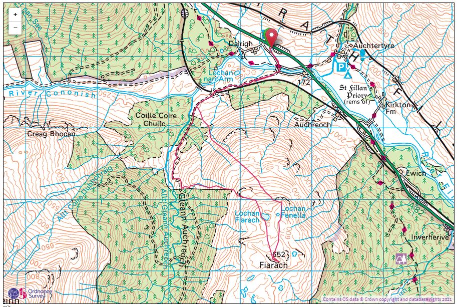
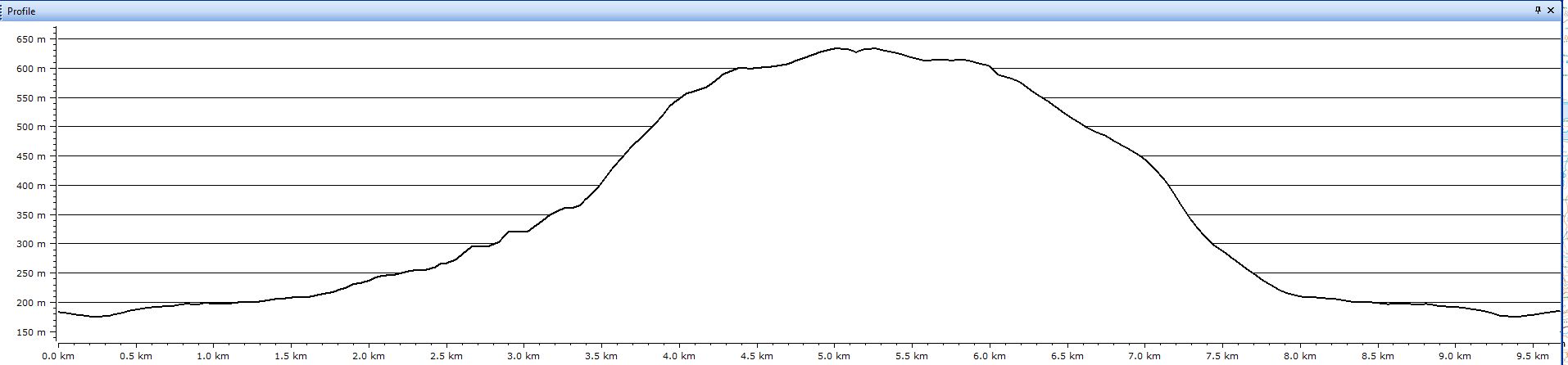
The Profile is simply an aid in understanding the gradient over distance for the walk
The tracking data is that which my tracking device, and there have been a few over the years, so these may be different on earlier walks, currently I am using Locus Maps tracking app, and provides data such as time, distance, ascent etc.