Dumfoyn(426m)
Sunday 3rd May 2026
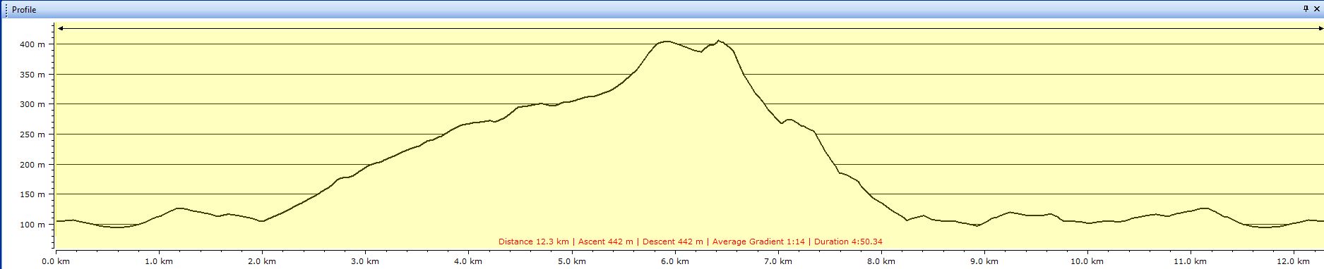
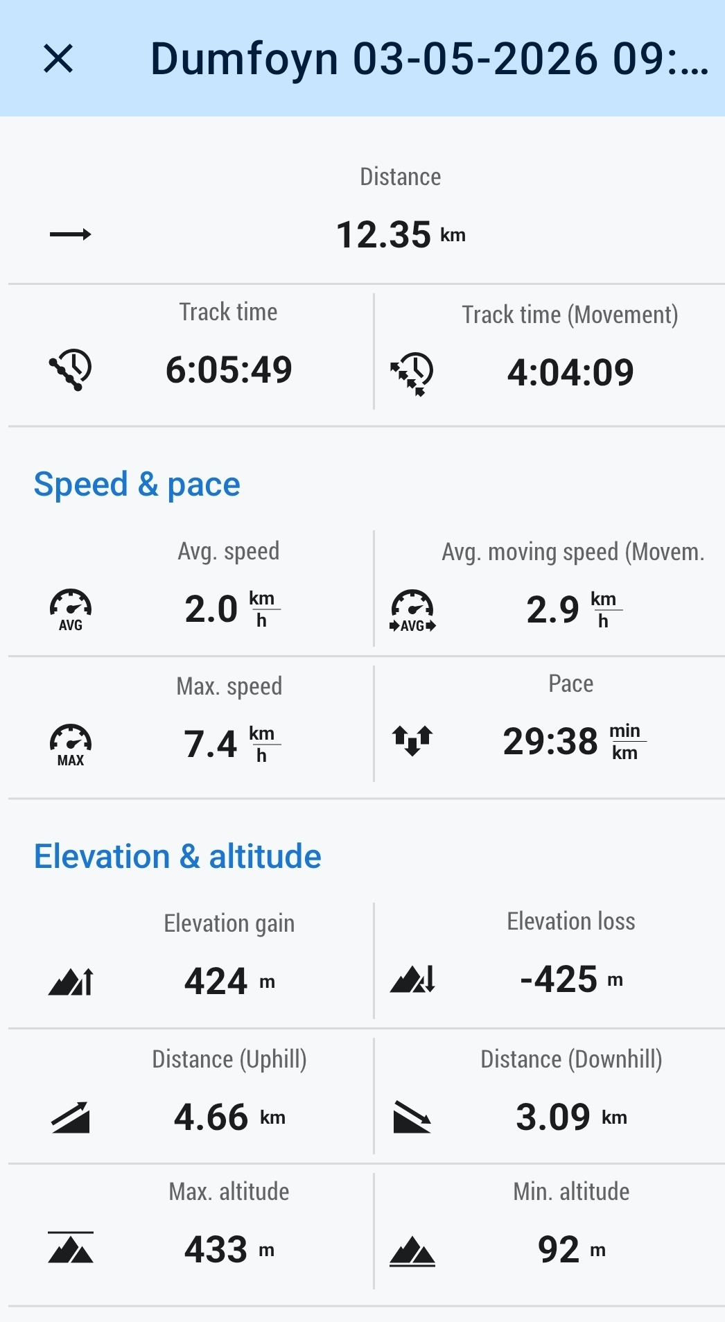
12.5kms
6hrs
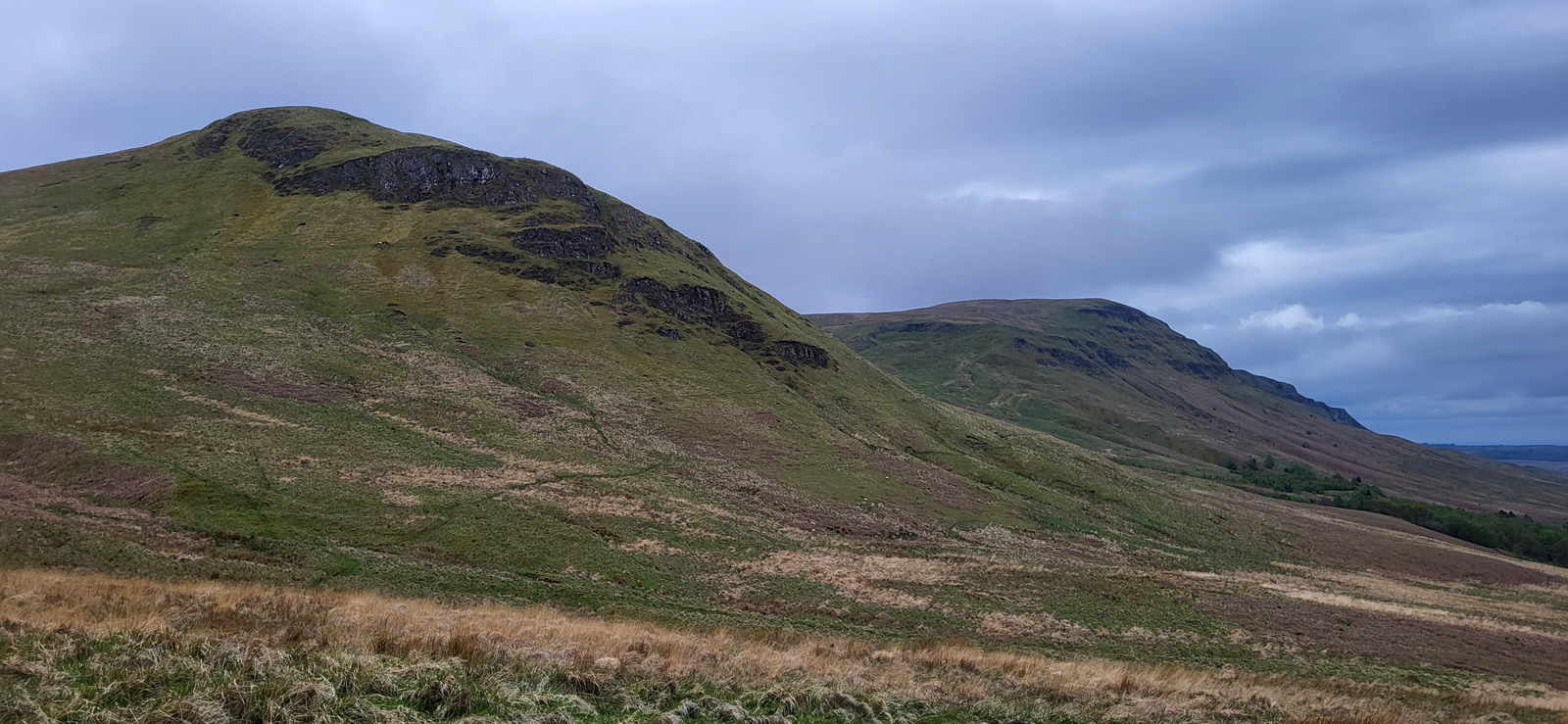
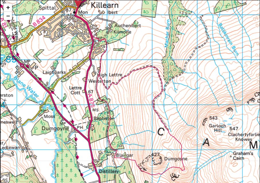
Earlier this year in January, we had completed a circuit from Killearn to Dumfoyn, with the return leg taking us on a descent between Dumfoyn and Dumgoyne and then southeast to Cauldhame Glen with a descent to link up with the Pipeline track for our return to Killearn. On that occasion during the initial descent from Dumfoyn I noted that had we turned generally west, rather than south east, then a transit below the southern crags of Dumgoyne would bring us to the Dumgoyne Distillery tracks around the base of Dumgoyne and hence onto the Pipeline track from there; and so mid-week I made the suggestion to Ian that we should do a little route finding this weekend and just see what transpires.
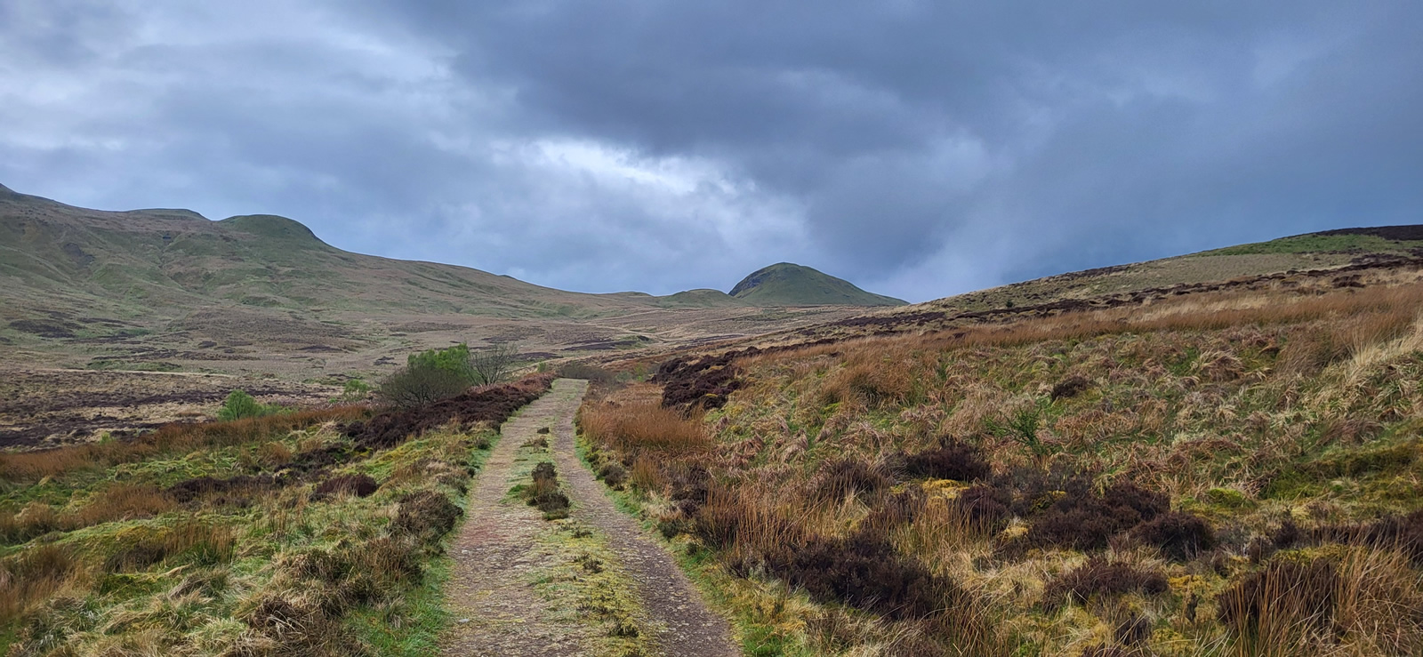
We set off from Killearn at a very leisurely pace passing through Kirkhouse Wood, where some path works had been done to grade the muddier sections of the woods by laying gravel and wood chippings along the way. Beyond the woods we joined the Pipeline track as far as High Lettre where we turned onto the well defined high moorland track for the steady climb east towards the gully through which flows the Machar Burn, an ideal spot for a mid-morning break beside it’s gently flowing waters; time also to dig into the rucksacks and grab the hats and gloves as the weather, although dry had a fairly strong and cooling breeze blowing.
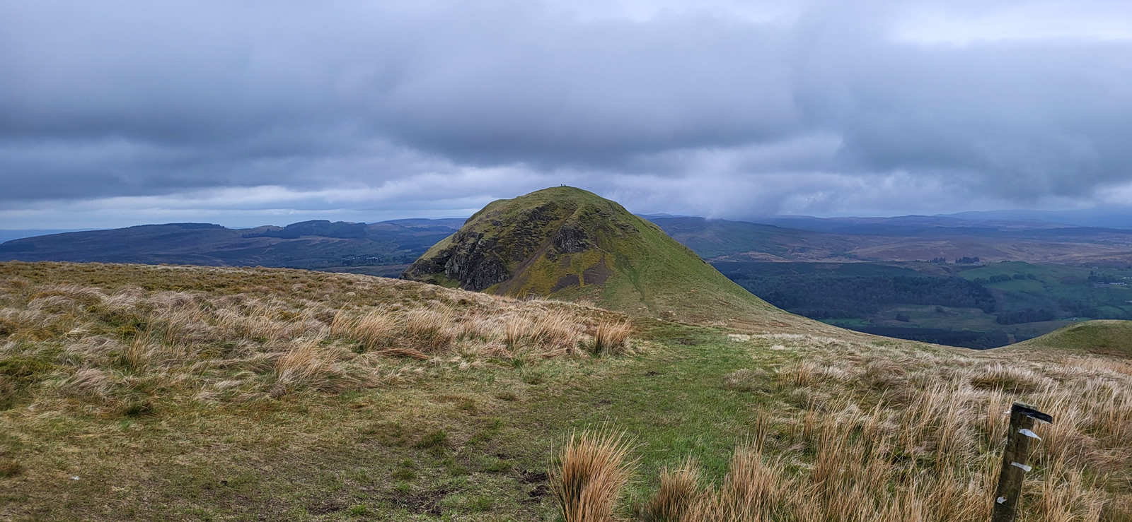
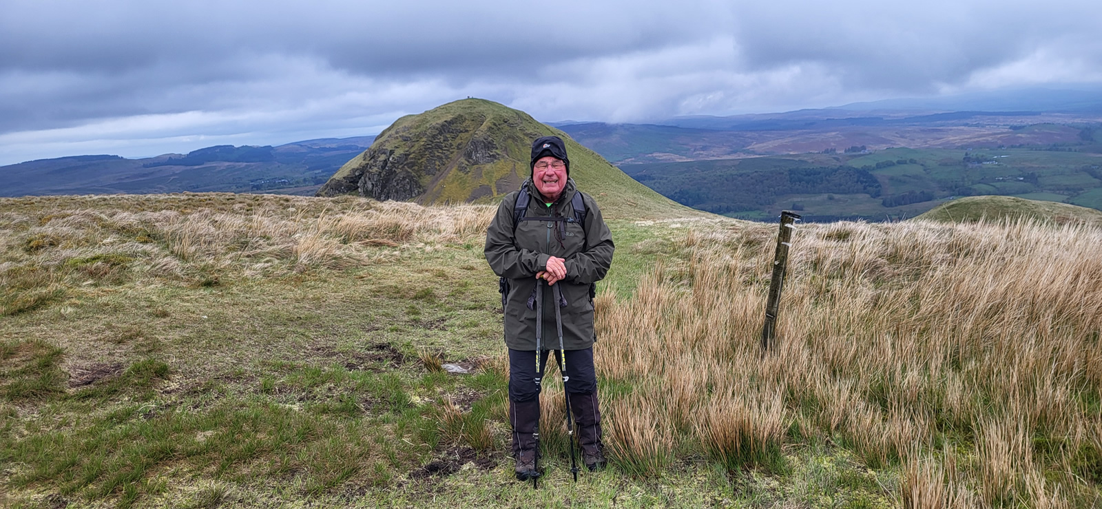
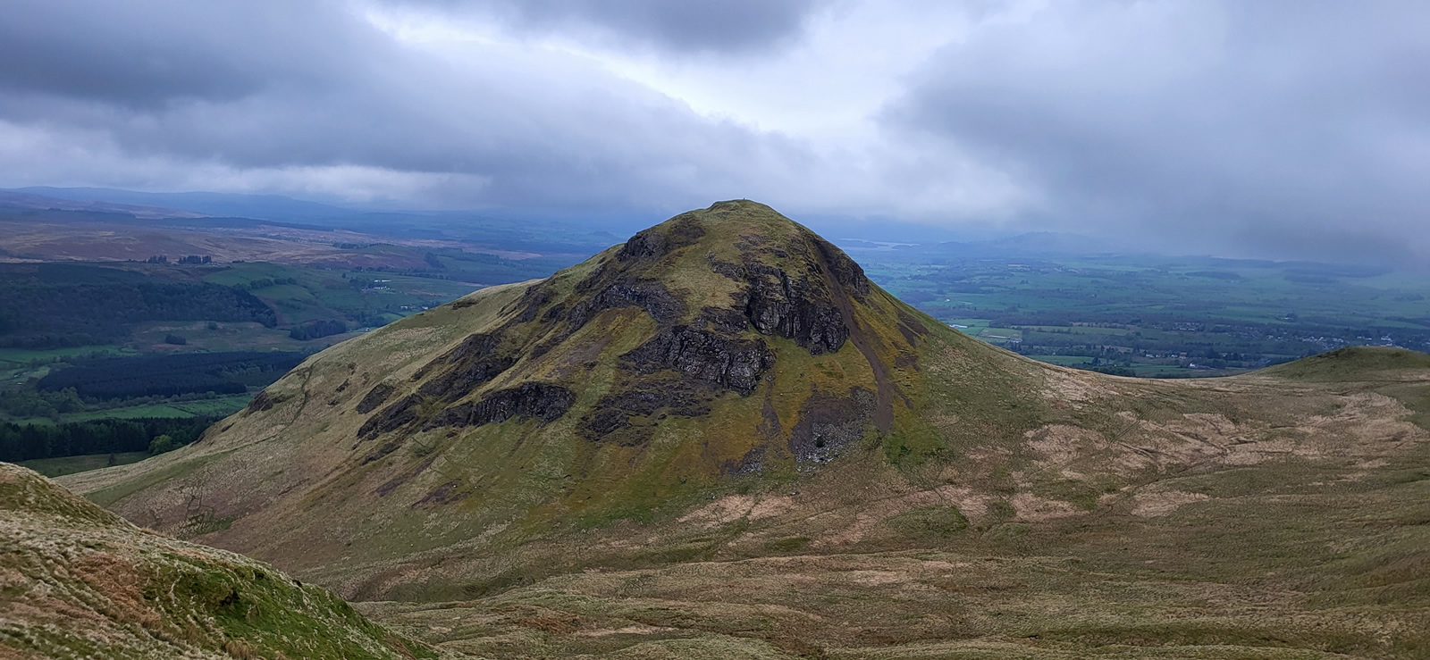
With the moorland track now swinging south, Dumgoyne fills the views ahead and it is simply a matter of making a steady ascent towards the flat, indistinct hump of Drumiekill Knowes which lies to the east of Dumgoyne and directly north of Dumfoyn whose summit is now just a few hundred metres and an easy climb away. An undefined summit, flat, grassy with not even a solitary stone marking it’s top which is a mere metre below that of it’s neighbour, Dumgoyne, at 426 and 427 metres respectively. A few steps to the northern edge of the summit and we found a grassy dip in which to sit out of the cool breeze and settle into a long, leisurely lunch break, taking in the solitude while eyeing the continual stream of figures appearing and disappearing over the summit of Dumgoyne.
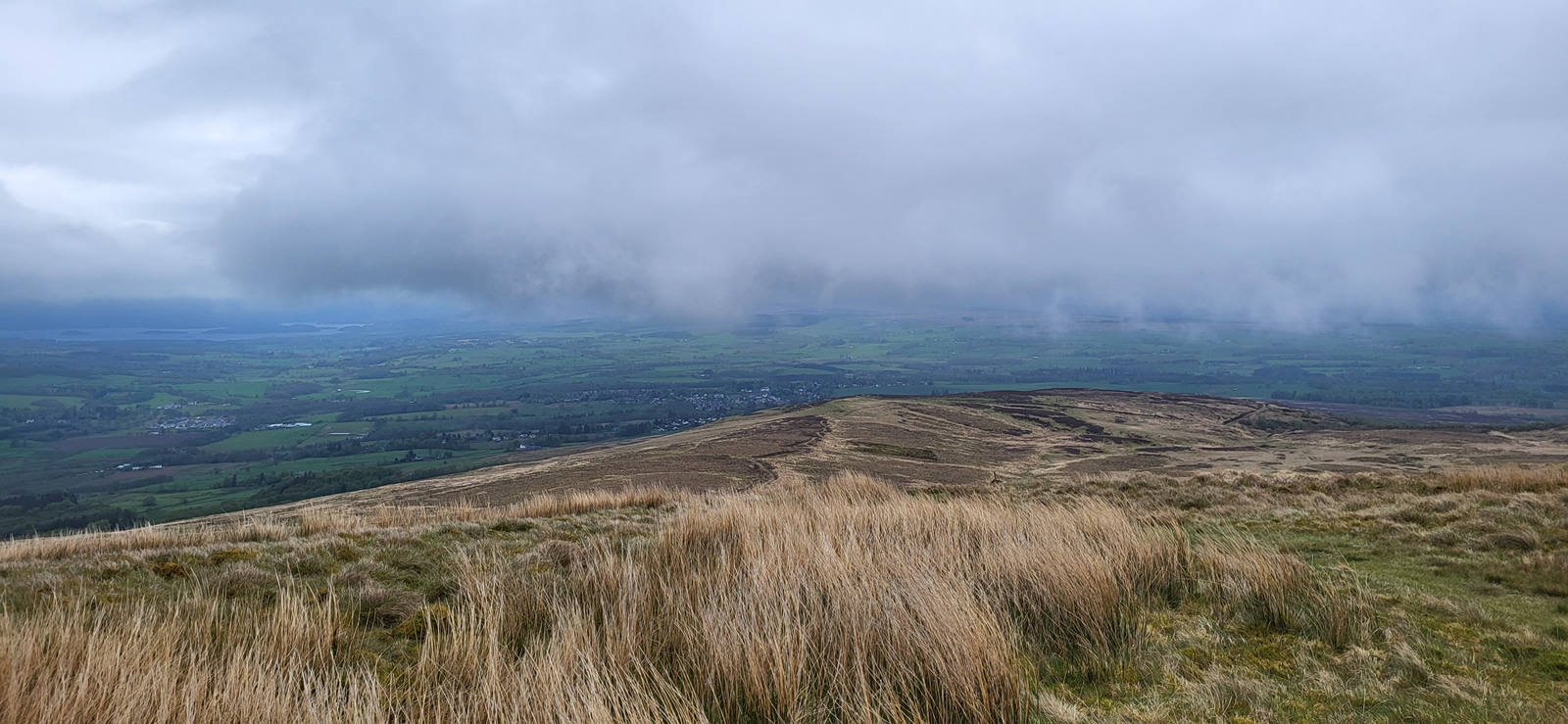
We started our descent from our lunch spot by taking a few steps north down the makings of a grassy hump and then gradually swinging onto a curving south south east descent eventually following the line of a prominent gully and burn down to where we intersected the track we had taken on the previous trip in January but just slightly more to the west on the track. From here we could clearly see that this narrow track climbed in a north westerly direction up into the crags of Dumgoyne. Although not intending to go so high and among the crags, we followed the natural line of this path until we crested a small rise from which we could then see the line ahead that would take us on a gently descending curve around the western base of Dumgoyne, unpathed but fairly easy going through tufted grass and a small section of loose scree. We kept as high as possible staying crag-side rather than dropping to the forest boundary below, and by making a gradual descent we intersected with the distillery track just a few metres before the main stile and small burn which separated the pasture fields above the Pipeline track and the open hillside of Dumgoyne; a short diagonal walk across the pasture field and we joined the Pipeline track at Blairgar exactly as planned. We enjoyed yet another short break on the grassy verge at Blairgar before making the straightforward return to Killearn along the Pipeline track to complete a fine day of leisurely walking in the Campsie Fell.
Brilliant day, thanks for your company Ian.
Photo Gallery
Click the buttons to select photo size.