Stob Nan Eighrach(613m) & Beinn Ducteach (589m)
Sunday 19th August 2018
14kms
8hrs
Driving north on the A82 from Tarbet, the great bulk of Ben Lomond on the eastern shores of Loch Lomond gives way to a long ridge, which when viewed from the roadway gives the impression of a singularly undulating ridgeline running north from Ben Lomond to beyond the waterfalls of the Ben Glas Burn; in reality however, this area is primarily an amalgamation of various humps and bumps the highest of which is the 770m high Corbett of Beinn a'Choin, which sits almost equidistance between Loch Lomond and the northern most tip of Loch Katrine. Three minor tops lie to the north of Beinn a'Choin; Stob nan Eighrach (613m) Beinn Ducteach (589m) and Cruach (514m), and it was these three "minor" tops that gave us such a long and interesting day on "the wee hills".
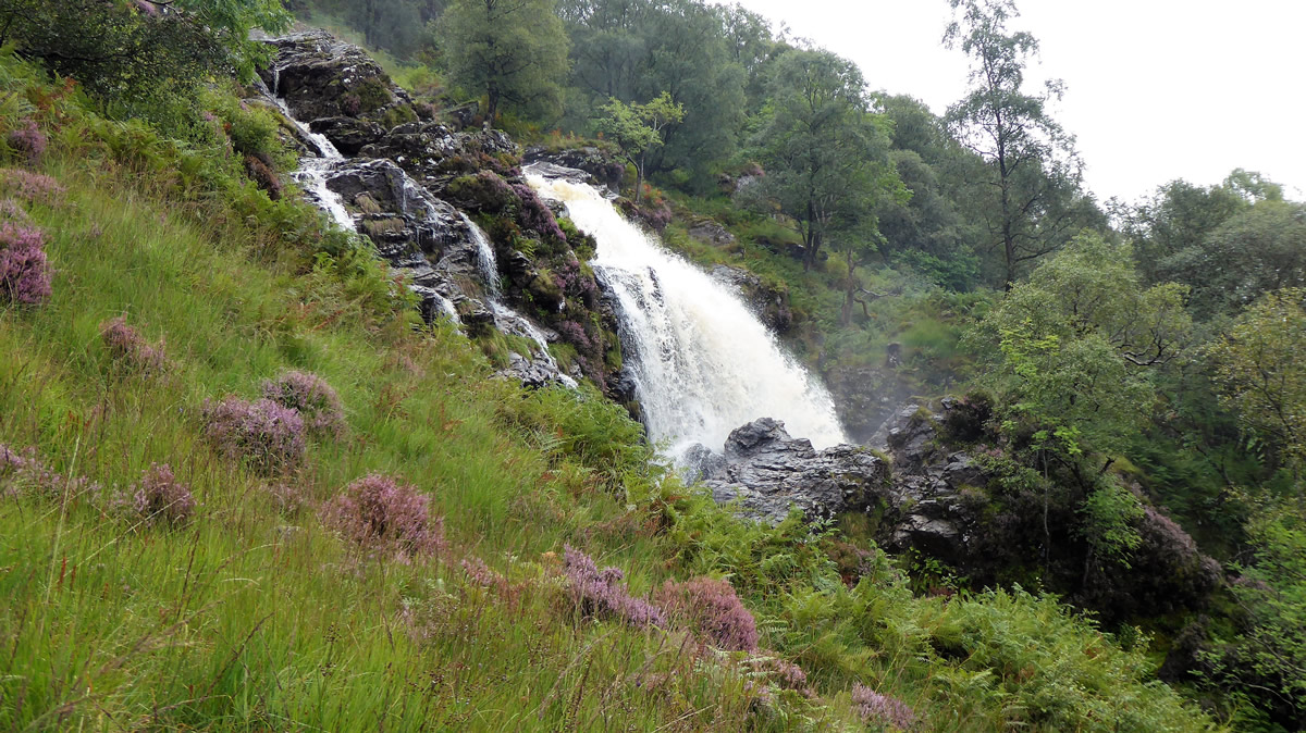
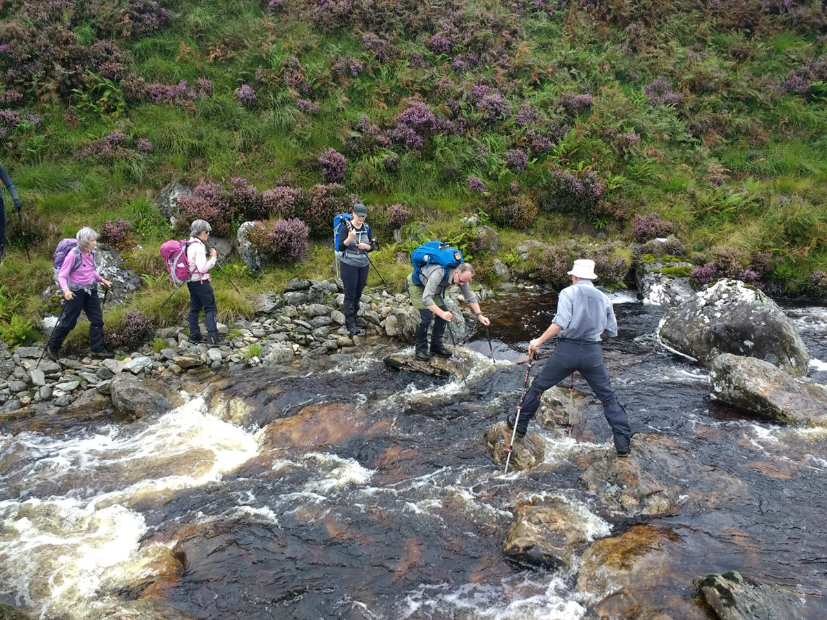
The first inkling that we may have a rough day ahead was the sight of the amount of water tumbling down from the Ben Glas Waterfall as we approached Inverarnan; that water was coming from the Ben Glas Burn which we would need to cross at some point above the waterfall. And it did indeed cause us a problem as we were unable to cross at the intended spot, and after walking some distance further along the burn where we found a spot that initially looked doable, and four of us managed to make it across, I myself wondering if I was about to end up taking an impromptu bath as I made one big stretch to cross between two large rocks, at which point those next in line to cross quite sensibly decided to continue some a kilometer or so further up the burn to cross the bridge by the small hydro dam, which in itself only lead them to one more river which they managed to cross but not without some difficulty.
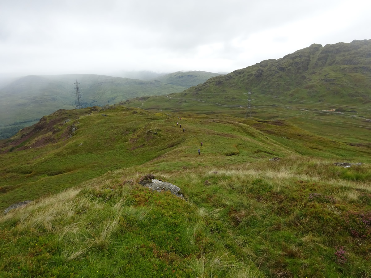
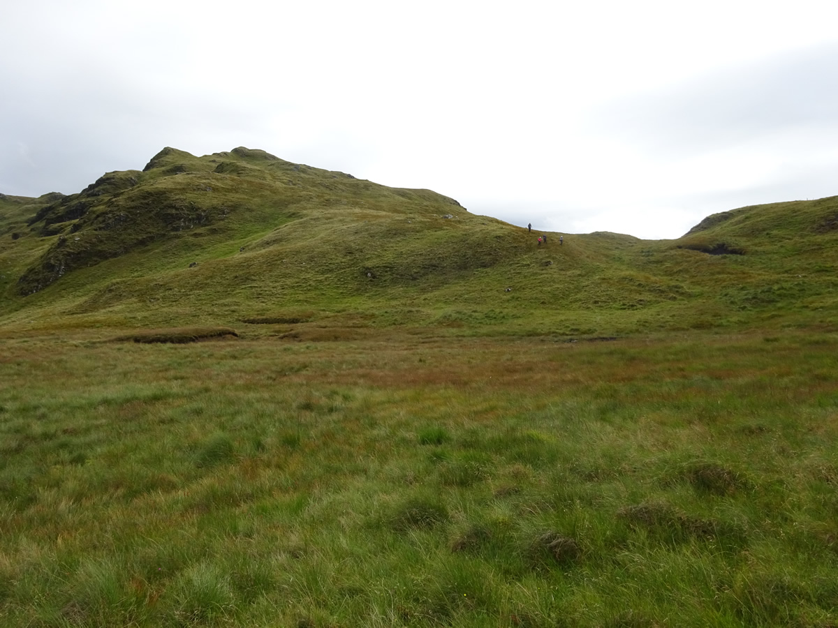
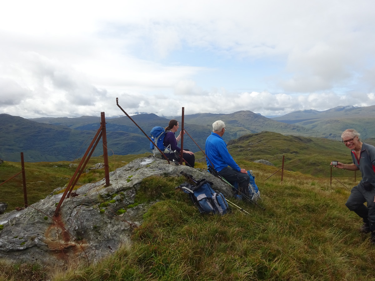
With our group now split into two, we headed directly for the ridgeline heading towards a prominent knoll at a height of 440m from which we could keep a watchful eye on the other group as they crossed the river and approached us from a slightly different angle, finally meeting up with us on the grassy dome. We would have waited on them to catch up further down the ridge, but whenever we stopped it only took seconds for us to be surrounded by hoards of midges, forcing us to keep moving until we reached the knoll which afforded us a slight respite as we were exposed to a light breeze, just enough to keep the blighters at bay.
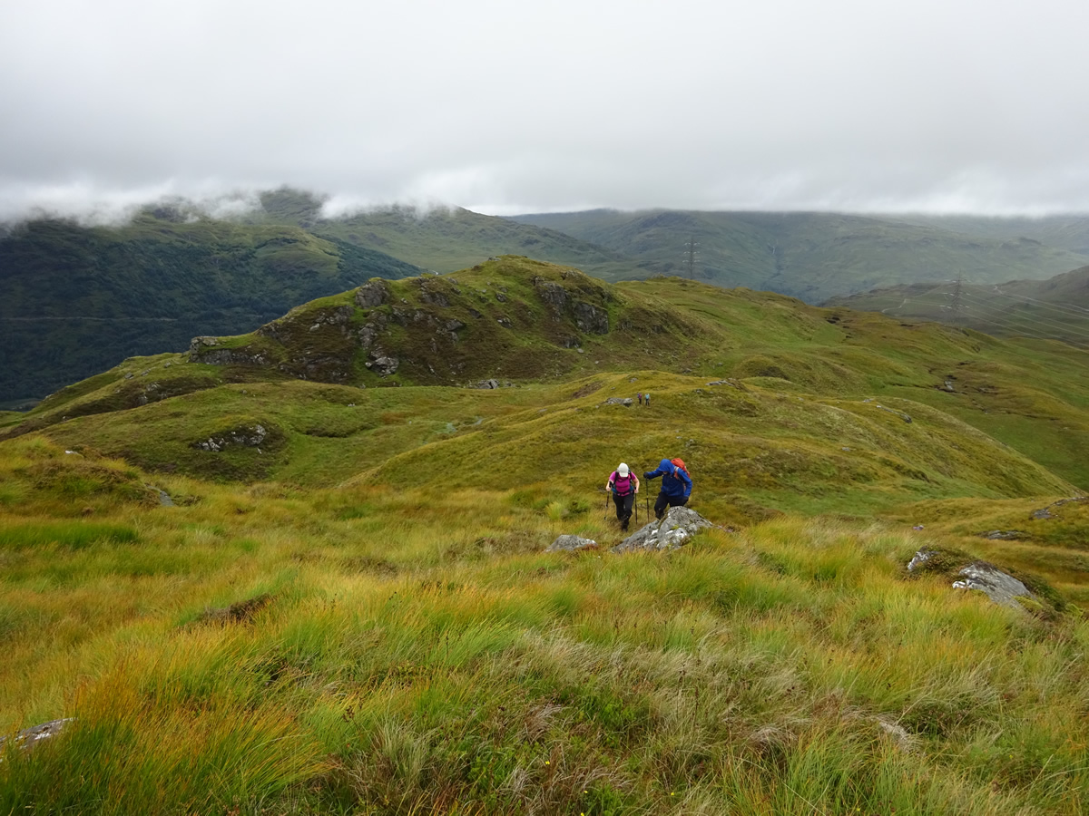
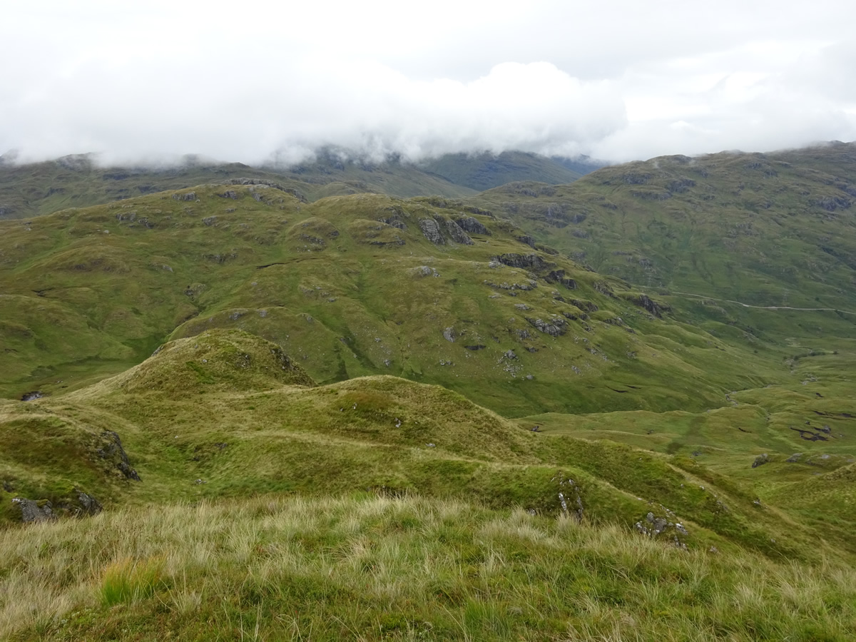
Reunited as a group, we descended steeply down into a heathery gully before re-ascending onto a knobbly ridge leading towards Cruach. This process of descent and re-ascent set the scene for most of the day, up, down and around the many humps and knolls that prevail on this route. Cruach itself was a grassy top with some fine views south down towards Loch Lomond, made somewhat dramatic by as it drifted in a out of sight through the low cloud base swirling around the hillside. The problematic river crossing and a slightly slower progress across the rough ground meant that time was passing somewhat quicker than anticipated, and so, once again the group was to split, as one group of five departed Cruach for the return to Beinglas, and the remaining seven continued onwards on our planned route towards Stob nan Eighrach.
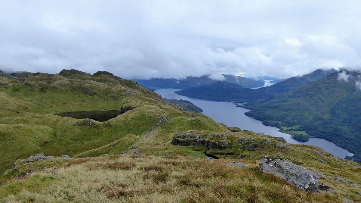
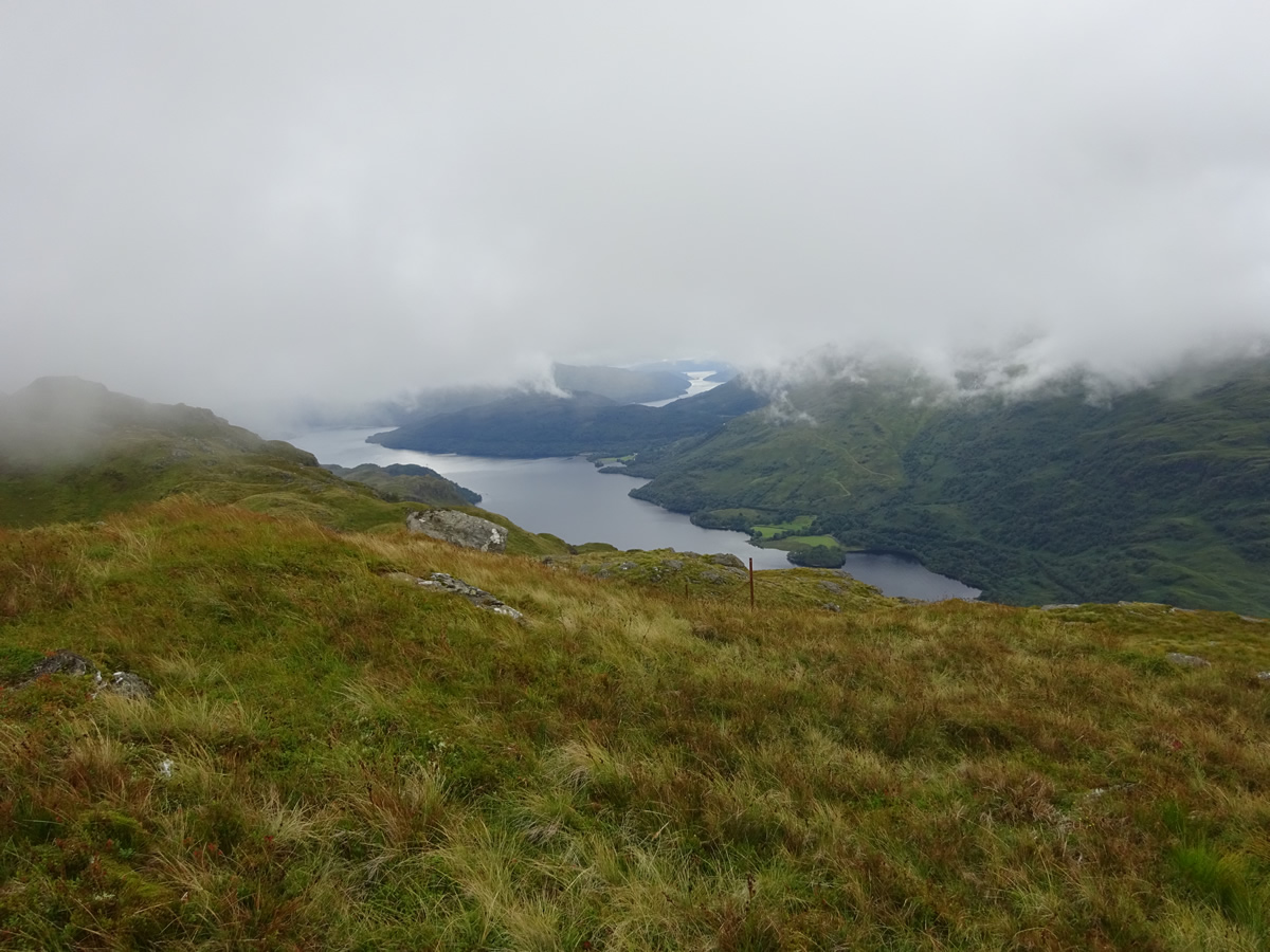
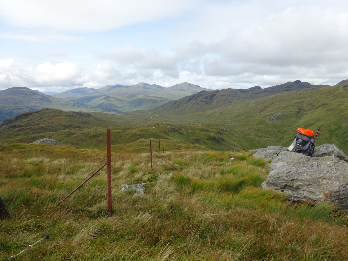
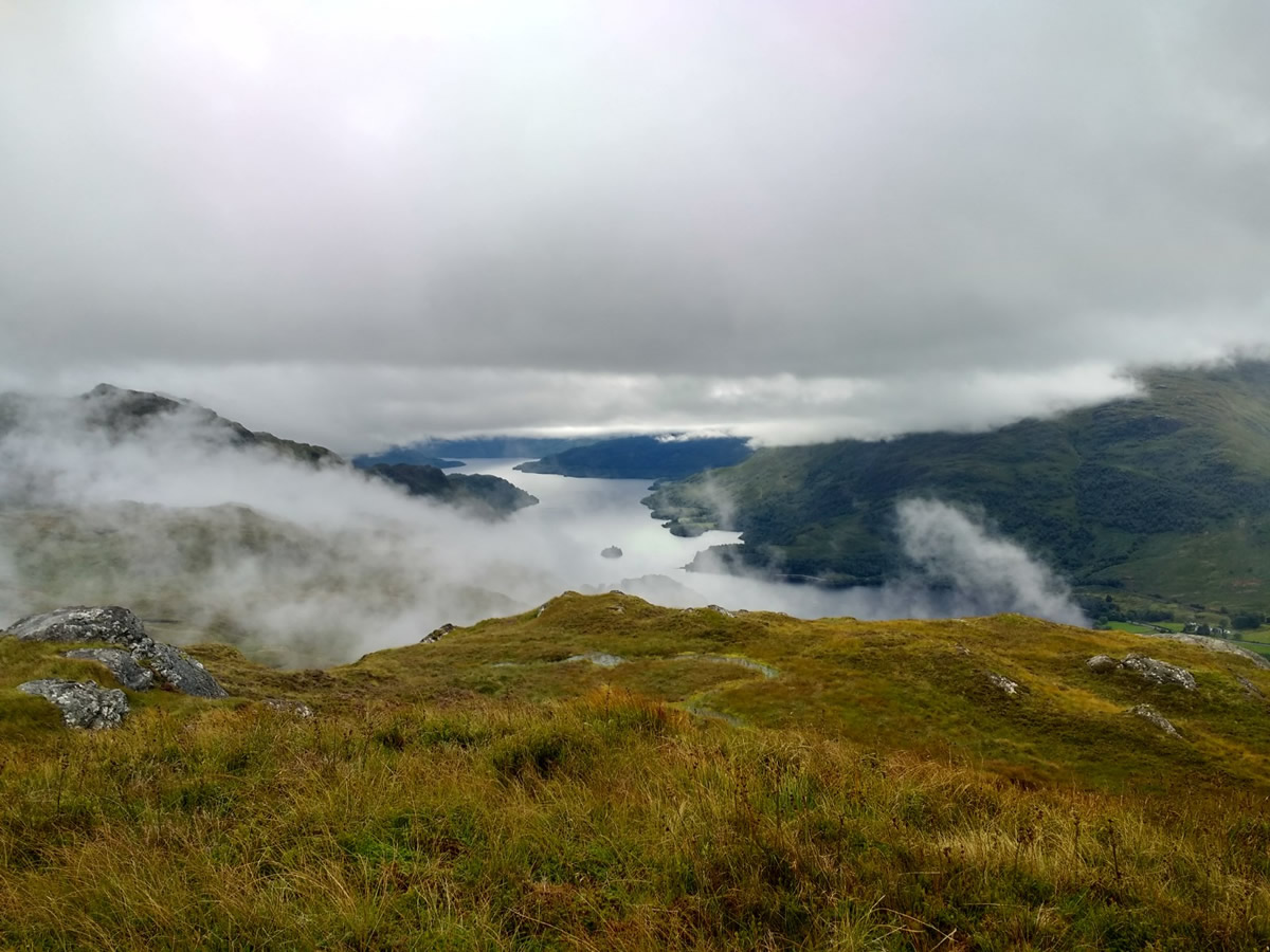
Crossing rough ground and open peat hags, we passed a few hundred metres to the east of Lochan nan Muc and onto the main ridge leading up to the summit of Stob nan Eighrach, an ascent made through quite a thick mist, where every hump looked like the summit, but which in fact was quite a distance still ahead, however, the navigation was made that much easier by the presence of a broken, but still visible fenceline, running directly up and over the summit area. The mist still hung low as we gained the summit, but began to clear almost immediately, and we finally had the views we had hoped for after the effort involved in reaching this remote top; and we were not disappointed as Loch Lomond looked quite beautiful from this unusual viewpoint.
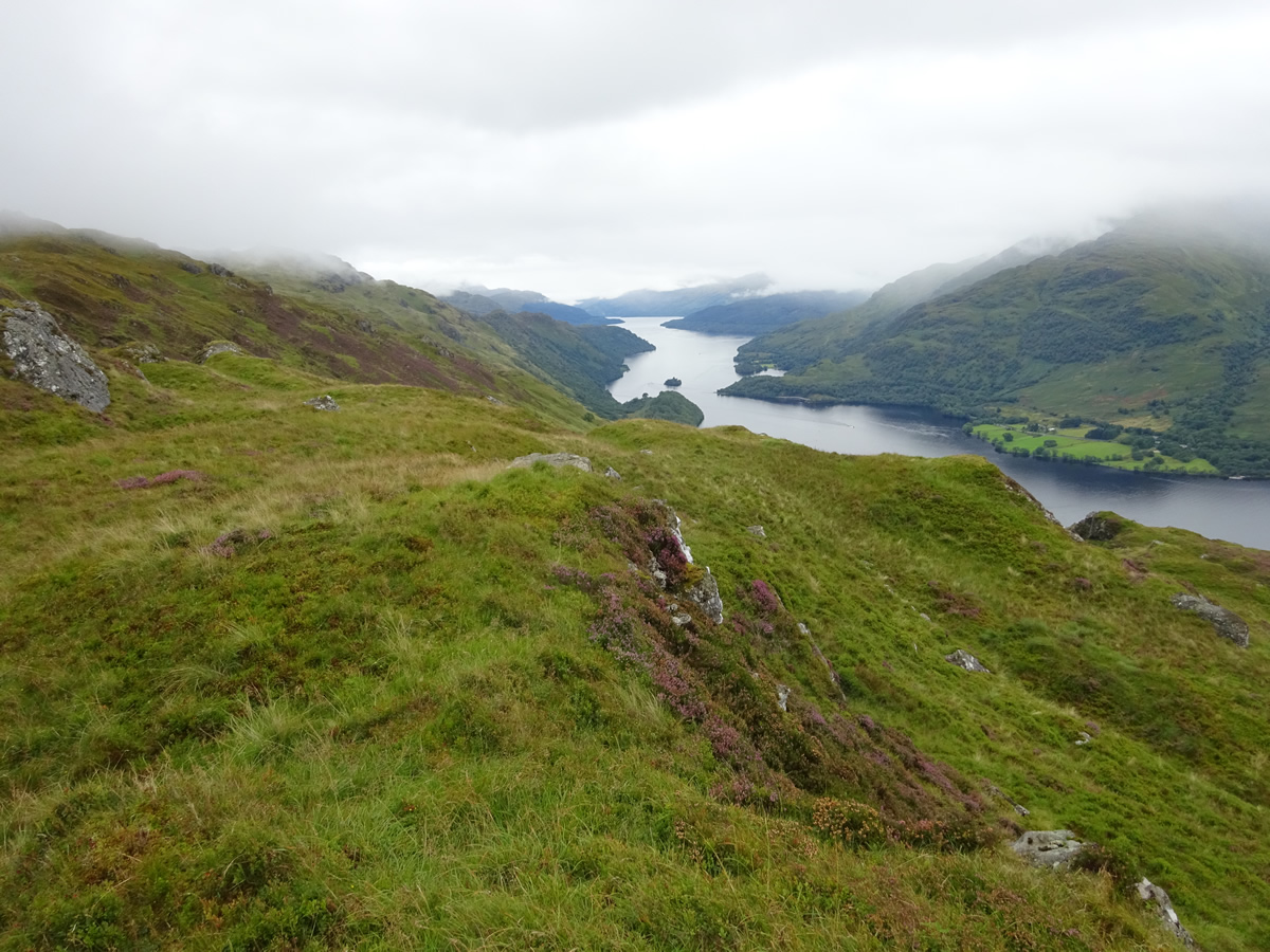
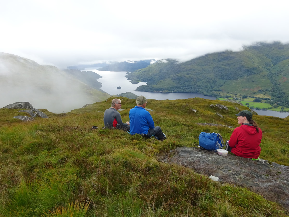
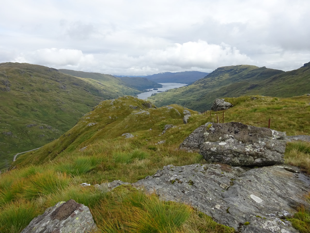
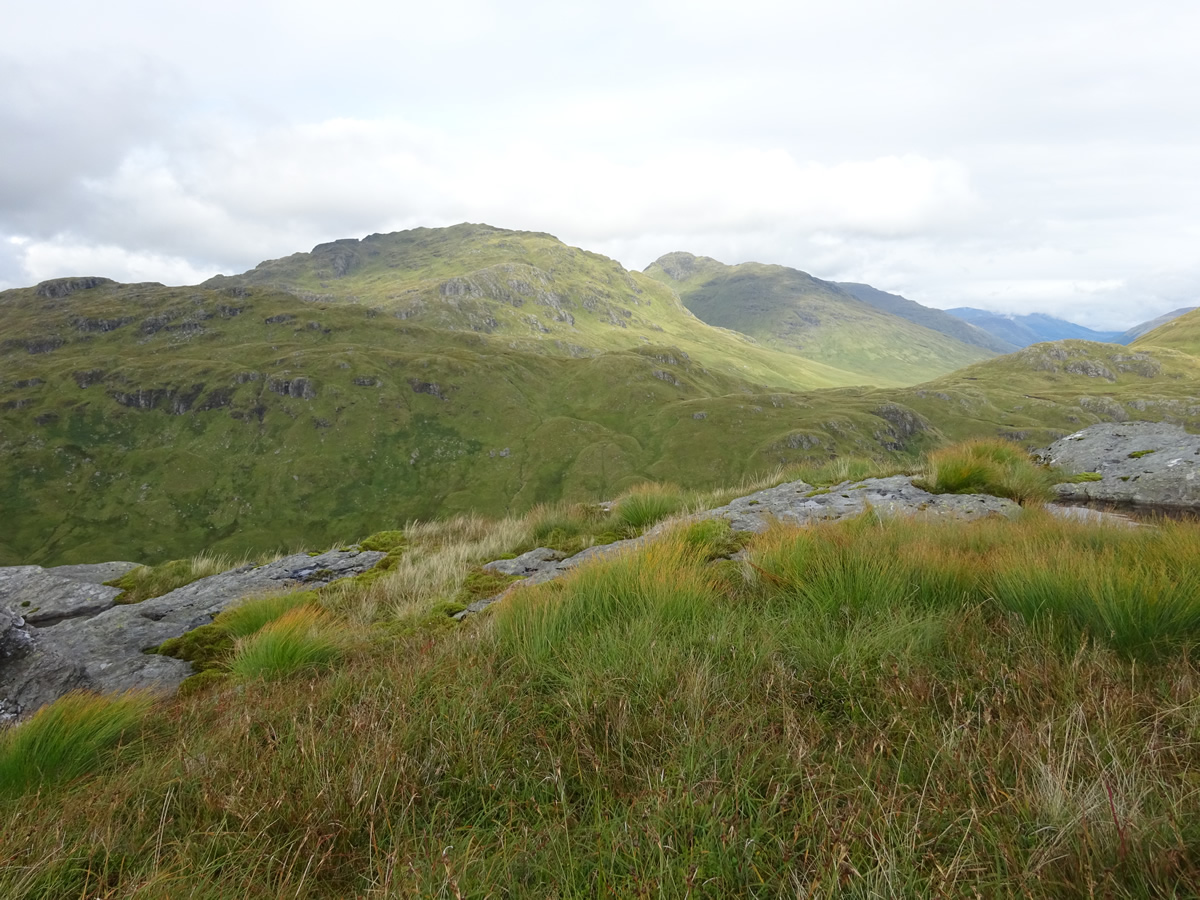
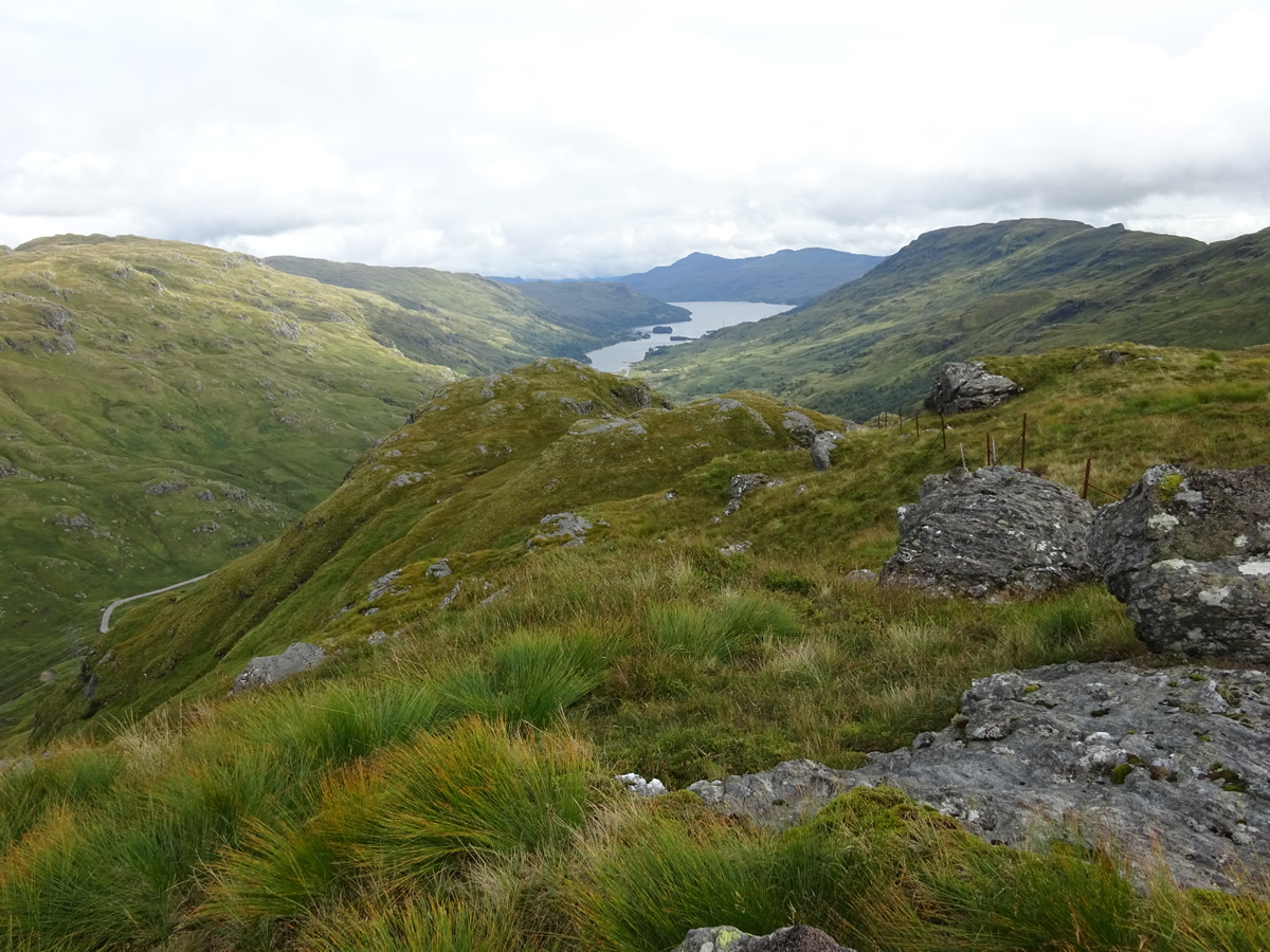
Looking north northeast from the summit of Stob nan Eighrach we could clearly see the rocky crags surrounding the upper reaches of our next objective, Beinn Ducteach, barely a kilometre away, but which would require us to retrace our steps back to the bealach above Lochan nam Muc before climbing grassy slopes towards the crags and making a final short detour around the rocky outcrops to reach a fine top, where we gazed down the steep sided Glen Gyle upon yet another renowned loch, this time the northern most aspect of Loch Katrine. And, finally, as we enjoyed a short break on this final top, the cloud lifted beyond the nearby Munros of Beinn Chabhair and Beinn a'Chroin re-enforcing the fact that these two tops, Stob nan Eighrach and Beinn Ducteach are well worth a visit as they offer quite spectacular views from their somewhat remote locations.
Reluctantly we left the views behind, and descended the north ridge of Beinn Ducteach before crossing the flat, and waterlogged ground beyond the ridge to join up once again with the Ben Glas Burn where a much easier return crossing was accomplished just below the small hydro dam in the upper reaches of the burn and a walk out along the northern banks before the steep descent back to Beinglas Farm.
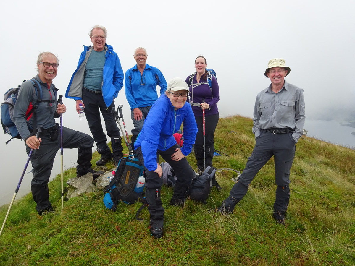
Great day Alan - Thanks