Stob A'Choire Odhair(945m)
Sunday 12th August 2018
15kms
6hrs 45mins
Having become accustomed to the fine weather we have been having this summer, it was a bit of a shock to arrive at Victoria Bridge to see the hills shrouded in thick cloud, a forecast of quite heavy rain and to complete the picture, hordes of midges just waiting to greet our arrival; so annoying were the little blighters that everyone was in such a rush to get booted up and away that I didn't quite set my SatMap tracking correctly, and so it is thanks to Mike for the GPX track and Statistics that accompany this report.
However, thanks to a fine breeze we soon left the midges behind and made good progress along the estate track on the north bank of the Abhainn Shira to the Clashgour Hut where we then swung north onto the fine track heading up into Coire Toaig to cross the Allt Caolain Duibh at the foot of the south ridge of Stob A Choire Odhair. So far the forecast rain had been nothing more than a light drizzle, not sufficiently wet to warrant waterproofs; now all we required was for the cloud base to rise above the tops and all would be fine.
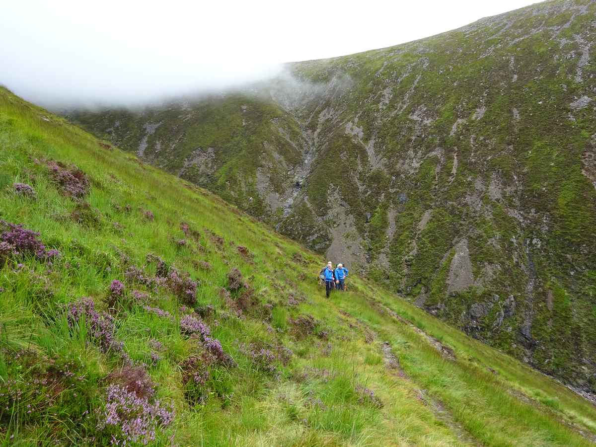
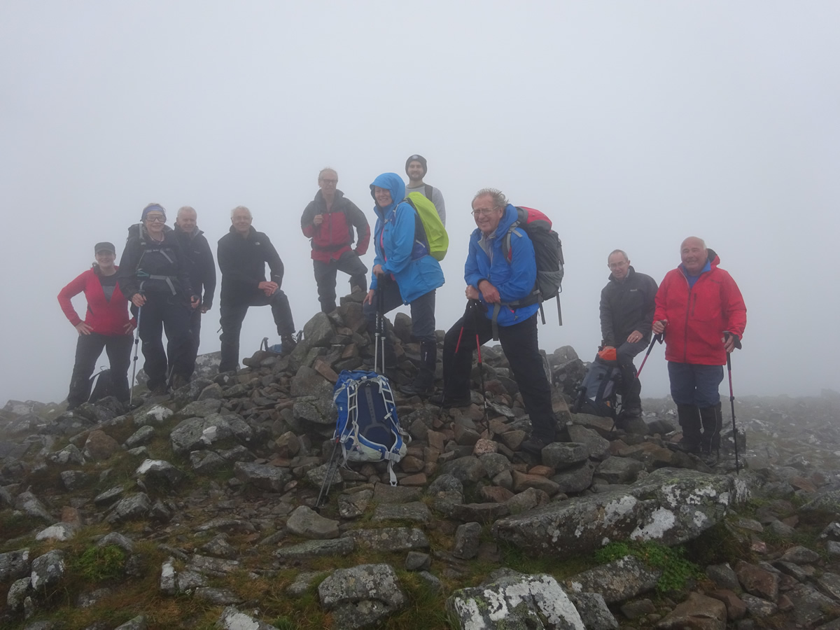
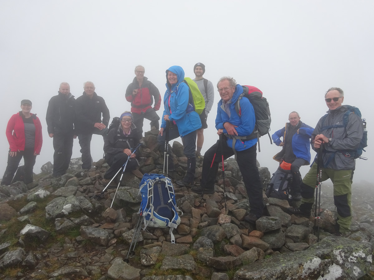
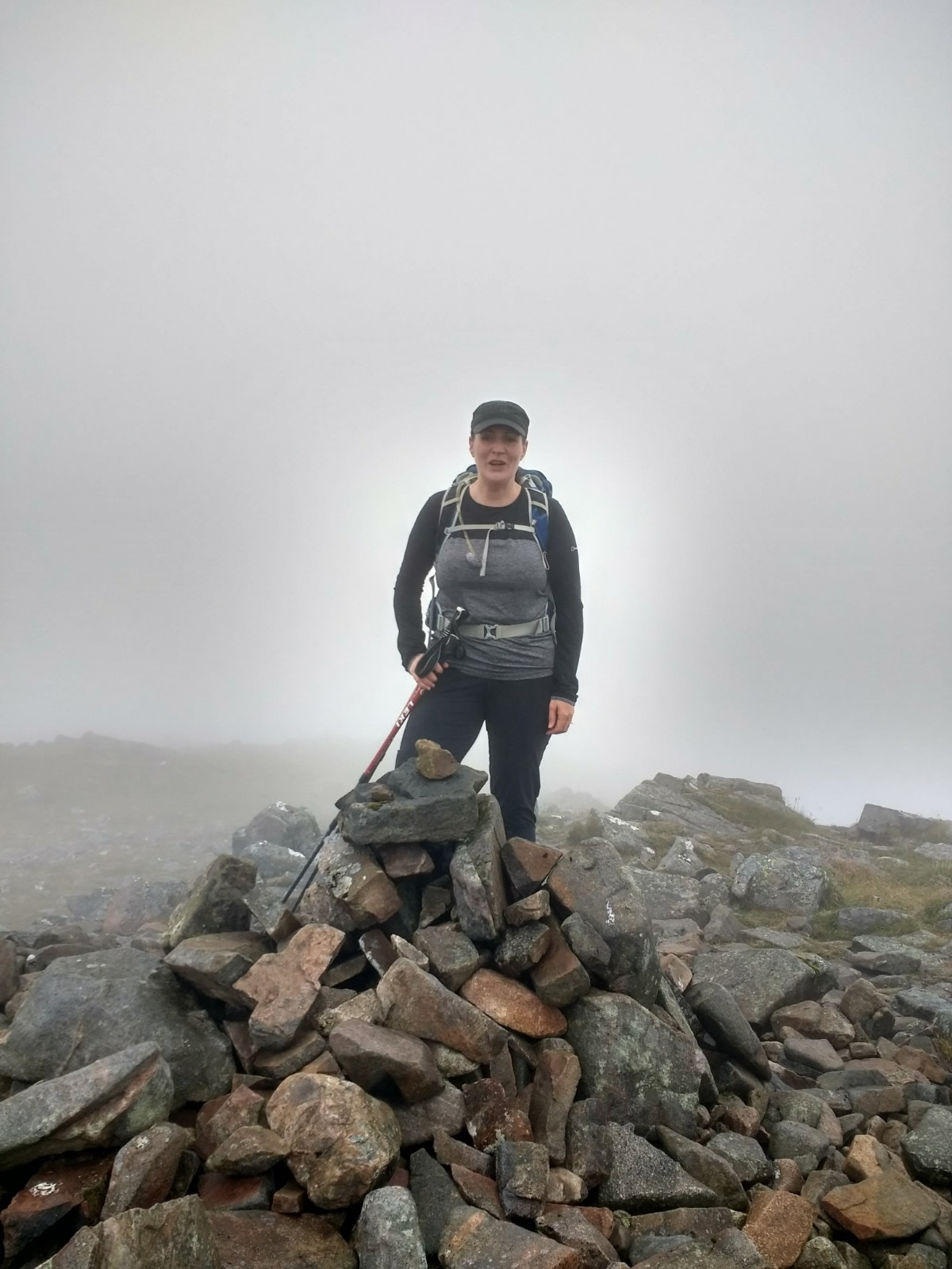
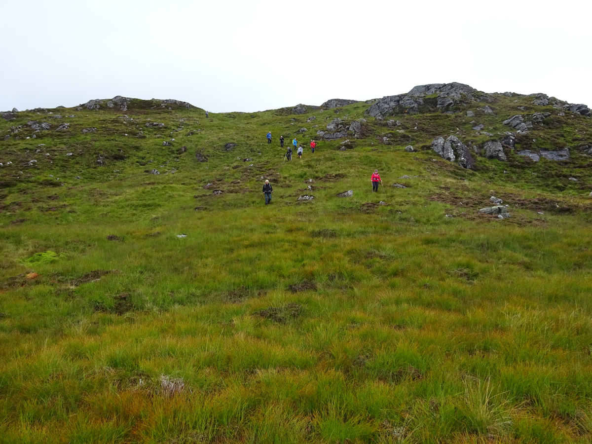
From the point where you cross the Allt Caolain Duibh at the 430m height, the south ridge of Stob A Choire Odhair rises at quite a steep gradient to the summit cairn, at a height of 945m, a total ascent of 515m of steady climb; fortunately, a fine stalkers path zigzags up the grassy hillside to just beyond the 750m height, where the grass gives way to rock and stone, over which it is difficult to discern the path, but from this point, a direct line can be taken to the summit, which, in our case required a little checking on the compass, as by now we were deep in thick cloud, with visibility dropping to somewhere between 30 and 50m maximum. Janet was given the honours of leading the final steps to the summit in celebration of her 141st Munro, exactly half way towards completion, and in complete contrast, William, who was with us today claimed his first Munro, well done to both of them. It was quite breezy on the summit, but thankfully the rain was still holding off, and by ducking down behind the rocks we found a nice calm spot for our lunch and our first real break since departing Victoria Bridge.
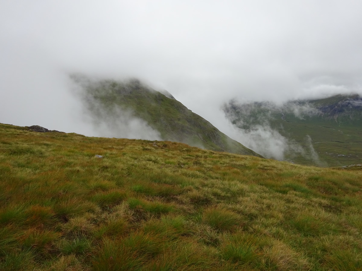
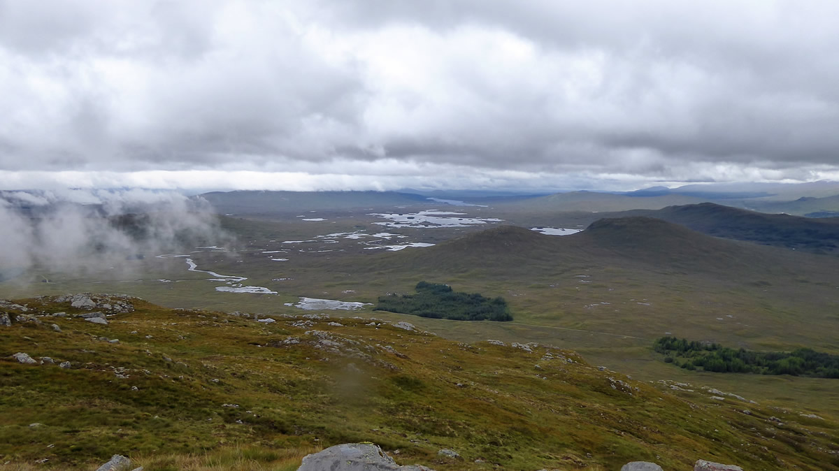
Our next objective on departing the summit of Stob A Choire Odhair was Beinn Toaig, barely a kilometre to the southeast; however, there were some awkward rocky crags to be avoided en route to the 802m bealach separating the two summits, and, with visibility still below 50m it was back to map and compass to see us safely down onto the bealach, and then up, the short ascent to the 834m high summit of Beinn Toaig. Still shrouded in mist, we set off from this minor top, again on a compass bearing, hoping that we would soon drop below the murk. And so we did, just a short distance down from the summit, suddenly we were free of cloud and watched as the mist blew up Coire Odhar and over the rocky north east ridge of Stob A Choire Odhair.
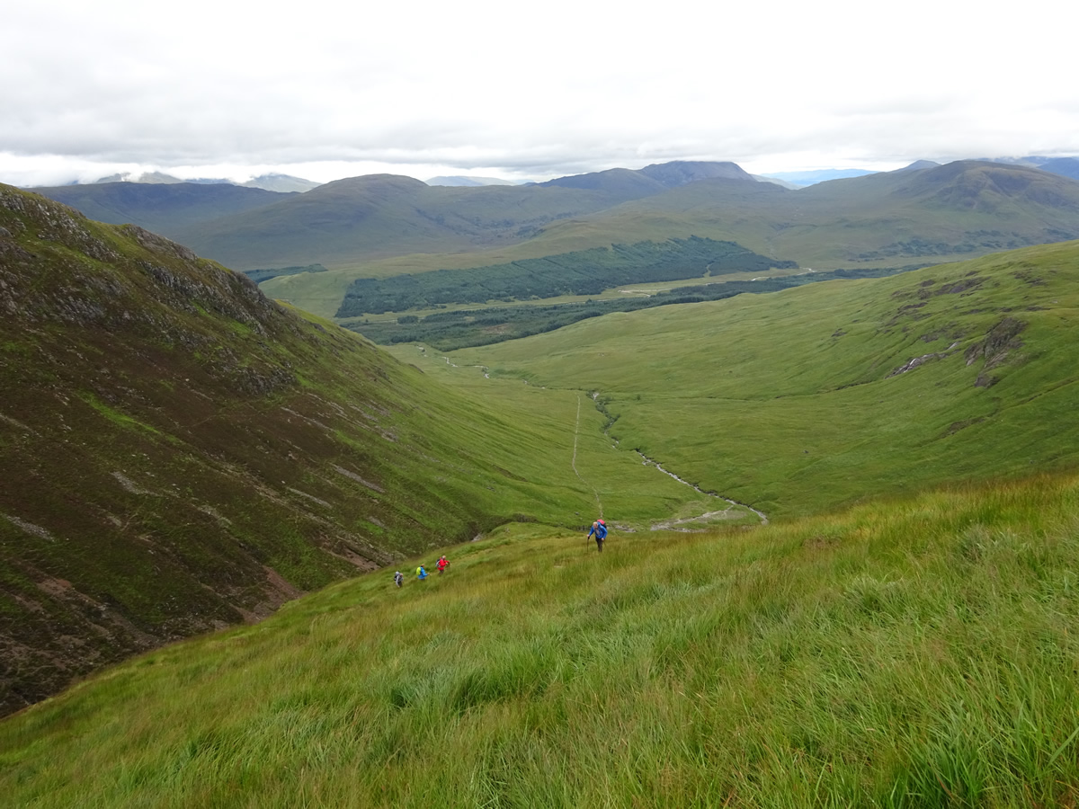
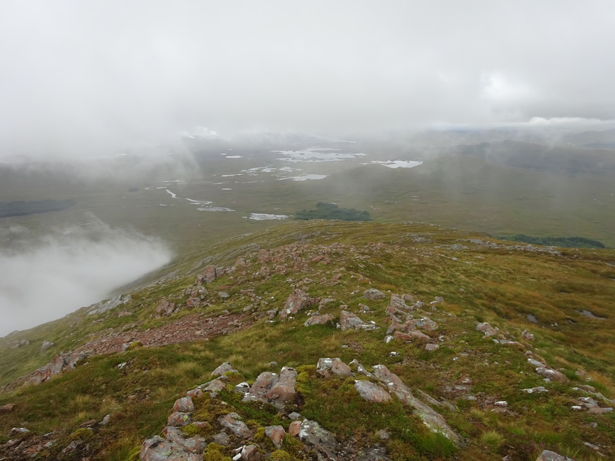
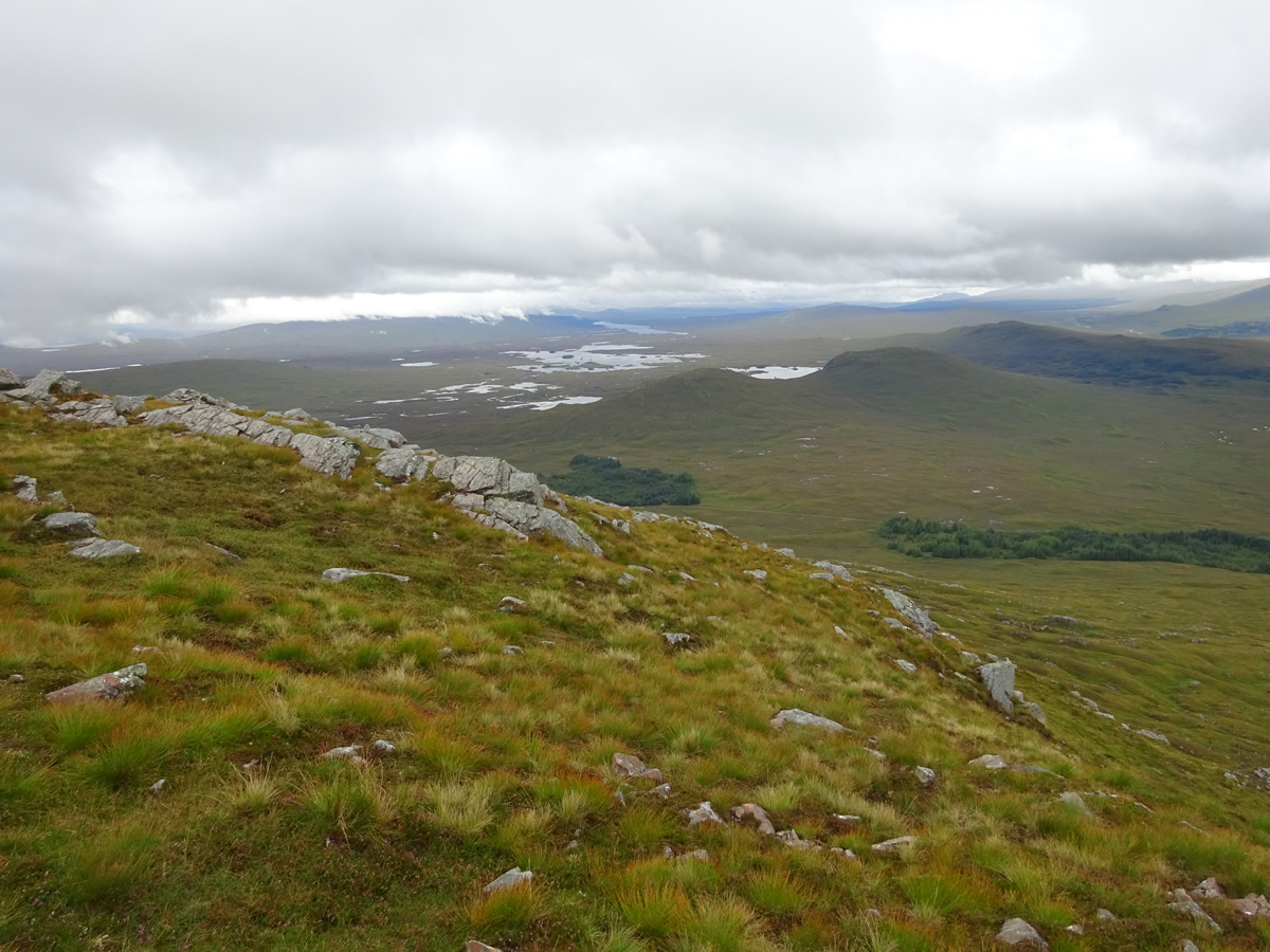
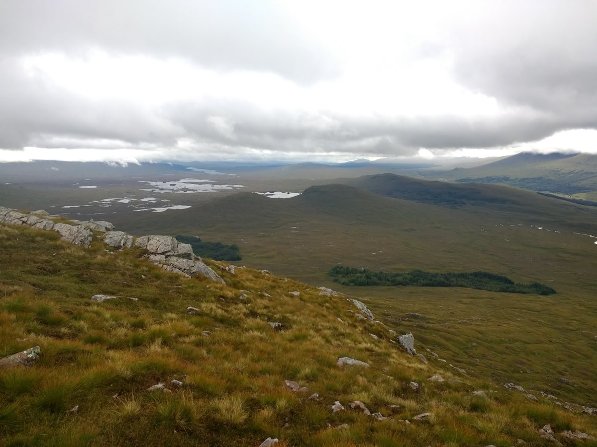
In ever improving visibility, we descended the broad, northeast ridge of Beinn Toaig, easily skirting around the rocky crags and slabs that line the hillside as we descended towards the distant West Highland Way. It was a leisurely descent, as we frequently paused to enjoy the fine views over the expanse of Rannoch Moor and Loch Tulla, the cloud and mist never quite clearing completely and adding to the atmosphere of the watery expanse before us.
Back on the West Highland Way, it was then a matter of best foot forward for the walk back to Victoria Bridge, a walk during which we were against the flow of traffic, as the streams of WHW walkers approached and passed us as they trudged onwards towards their next overnight stop.
It had been a fine day, the rain never materializing, the wind just enough to keep the midges at bay on the hillside, and the mist, although hanging around our summits, clearing enough to give us a fine aspect across Rannoch Moor. The down side! The midges were still awaiting us back at the car park.
A great day on a fine mountain - Thanks everyone for your company.