Cruach nan Capull(565m)
Saturday 19th September 2026
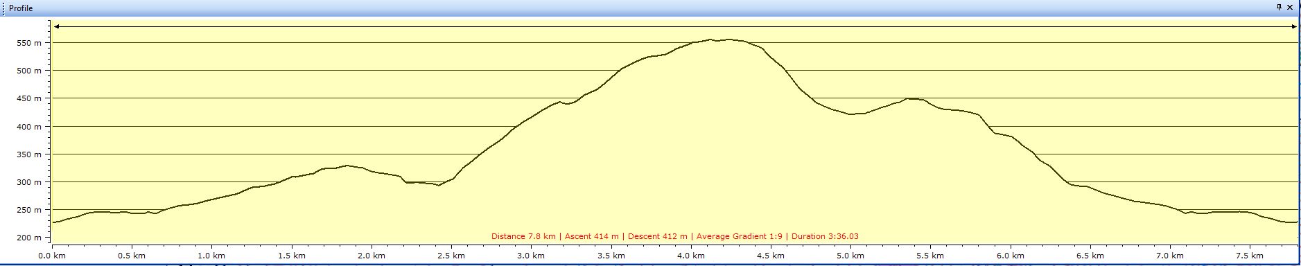
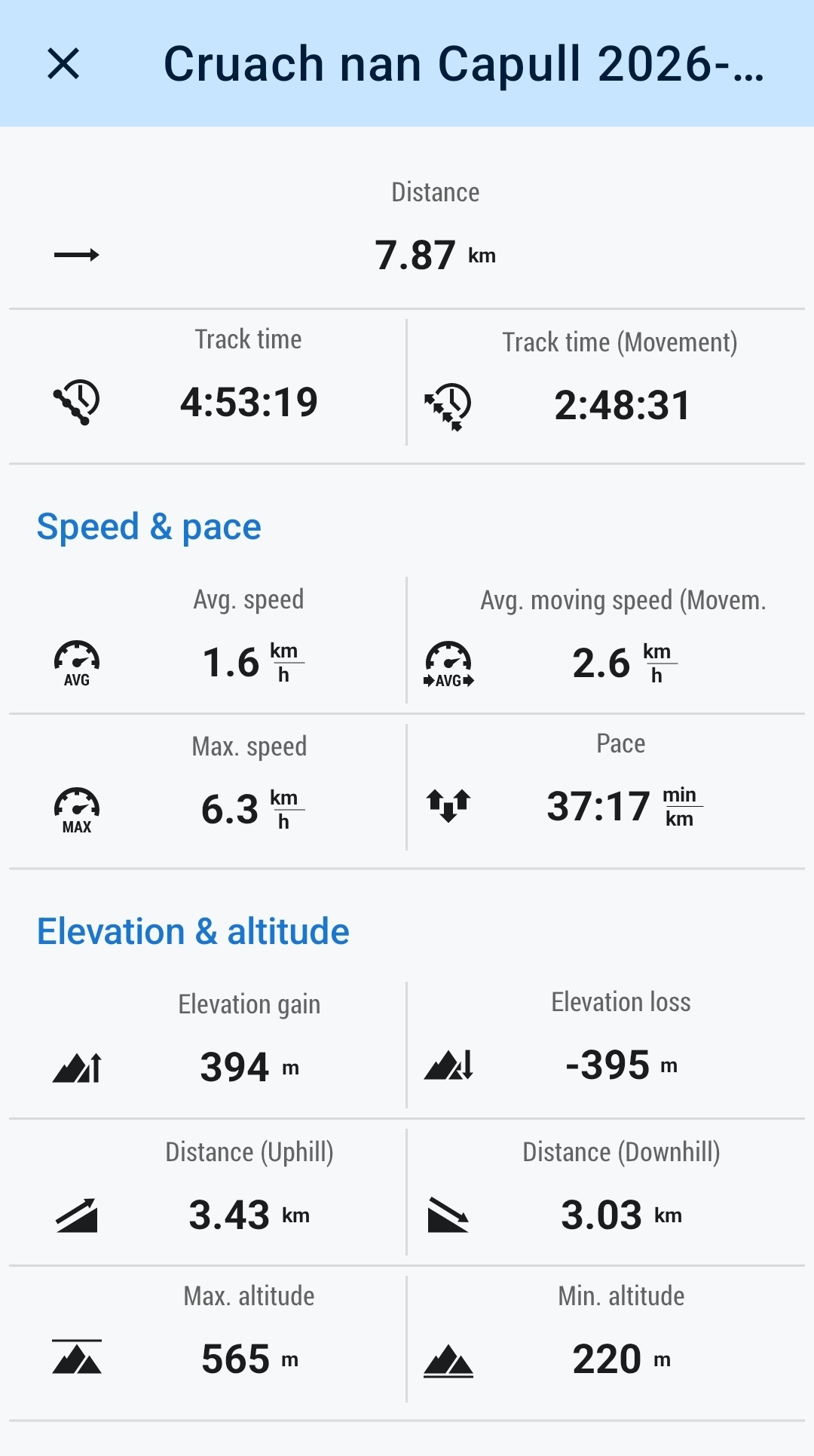
8kms
5hrs
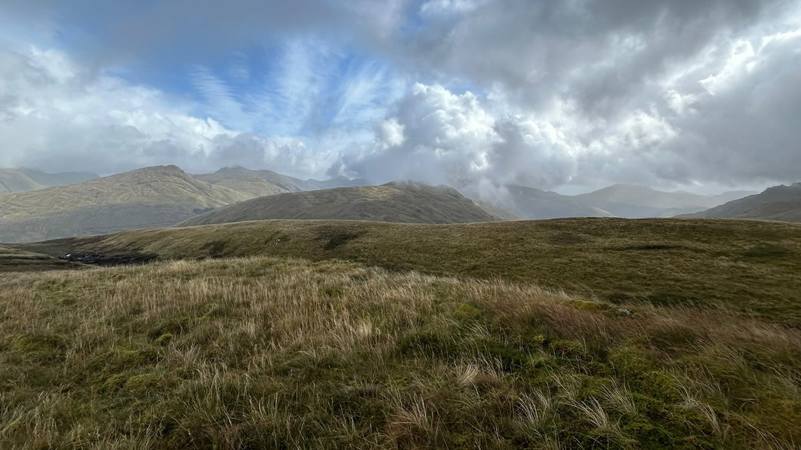
I accompanied Mike on the initial recce for this walk back in July during that period of summer heatwave when all those temperature records were being broken, and it certainly was a hot day on the hills. Our weather today would not be breaking any records, a few showers but nothing too bad, however there was a very strong wind, especially on the tops keeping the temperatures in single figures, quite a change from just a few months ago.
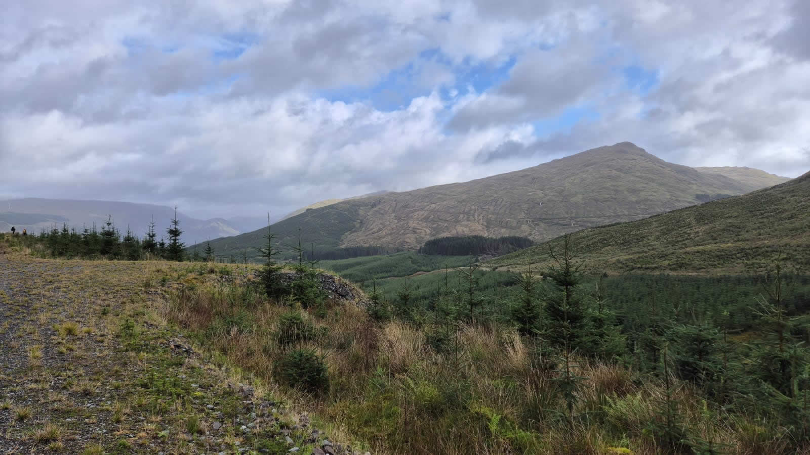
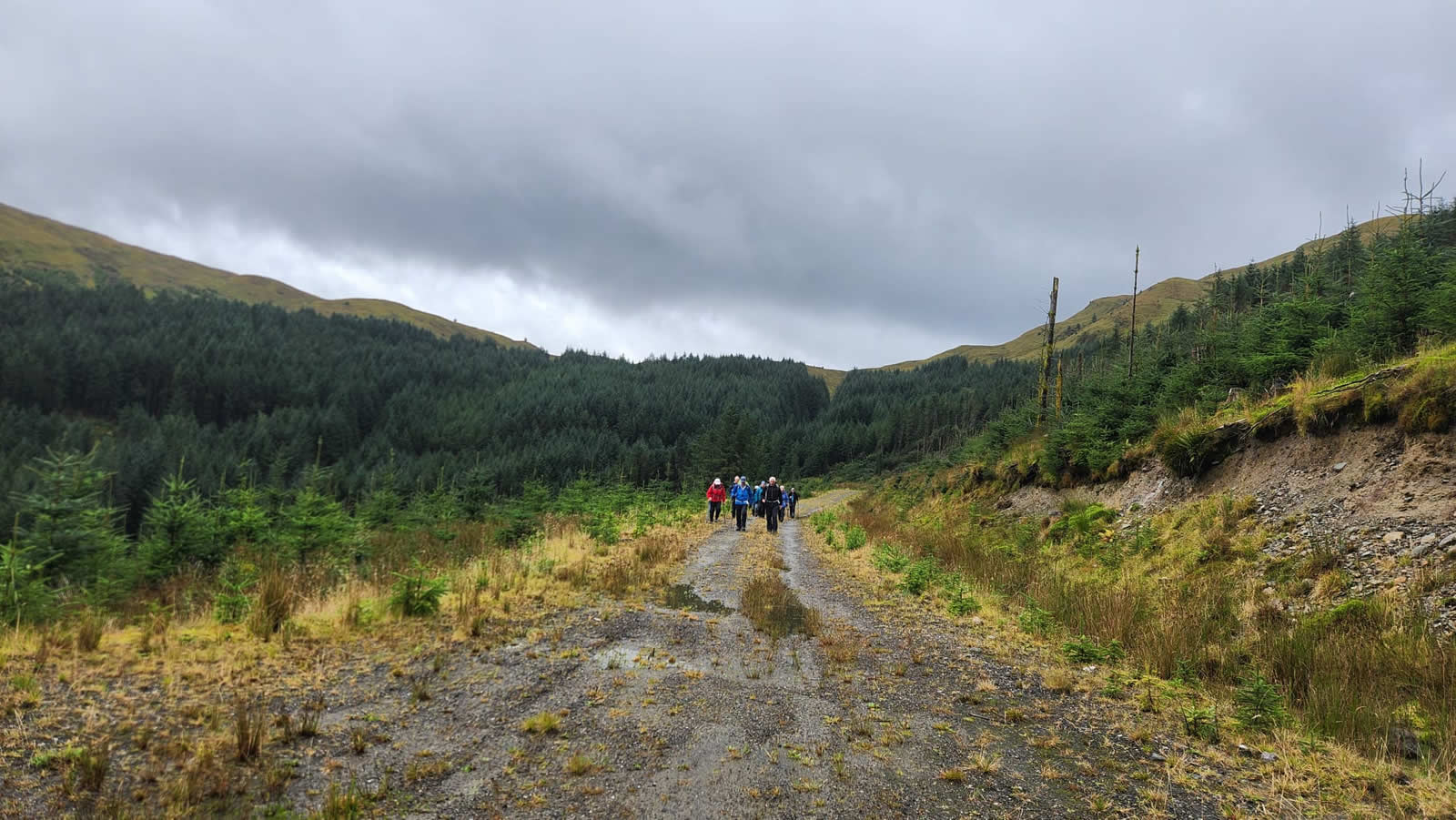
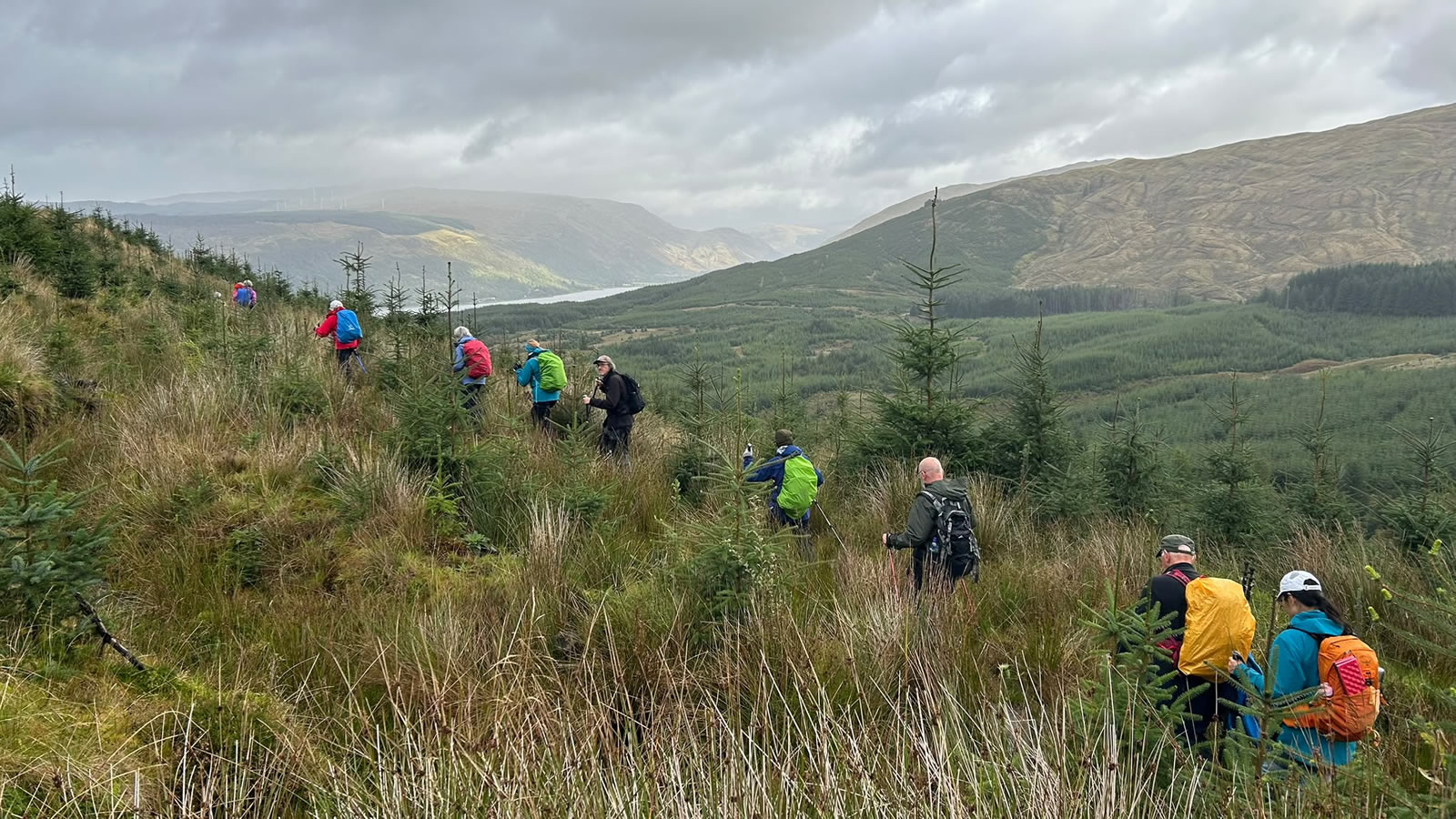
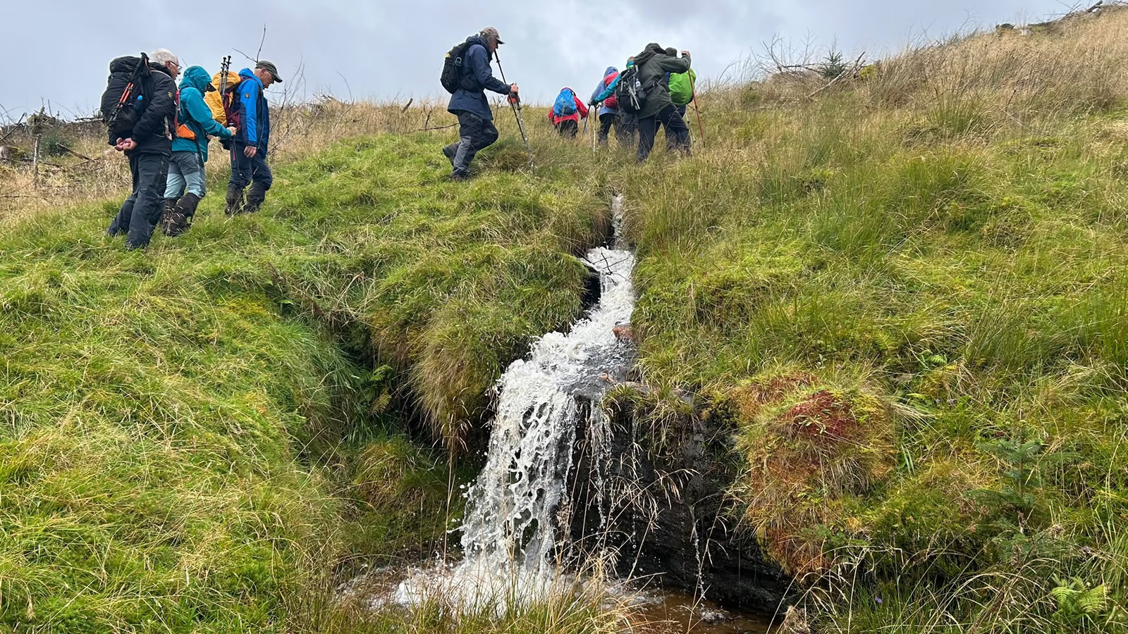
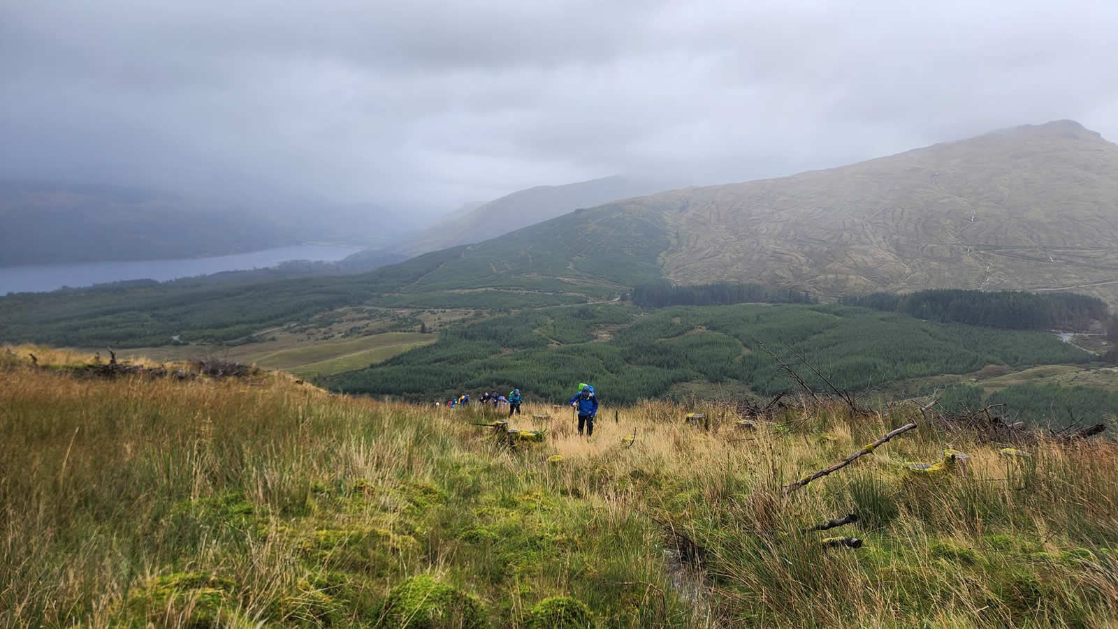
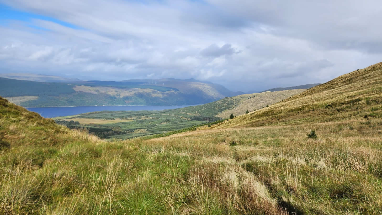
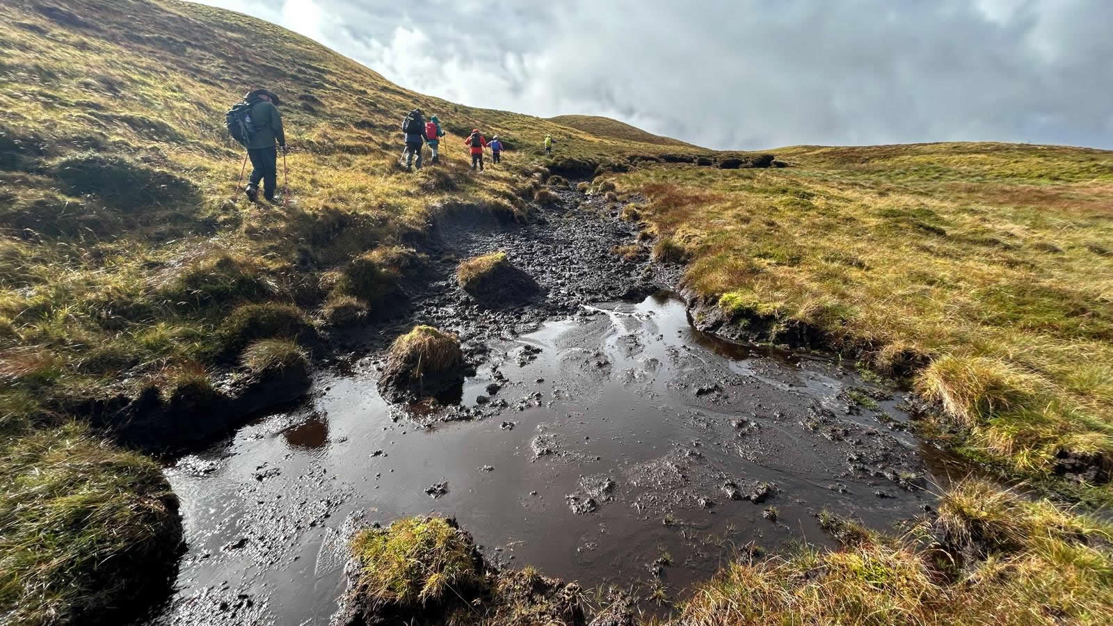
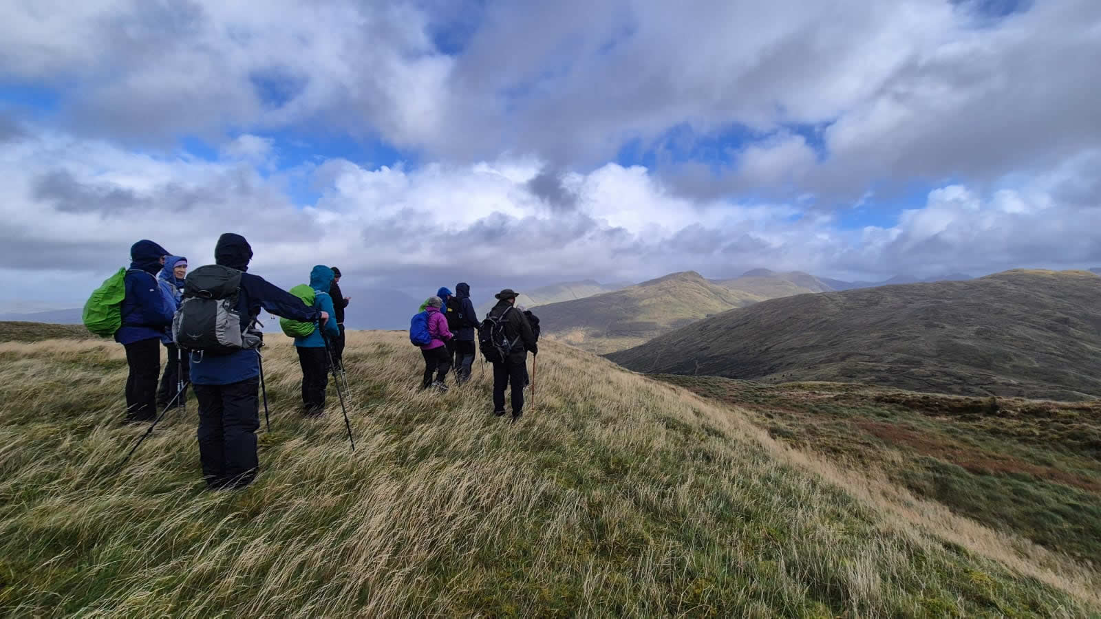
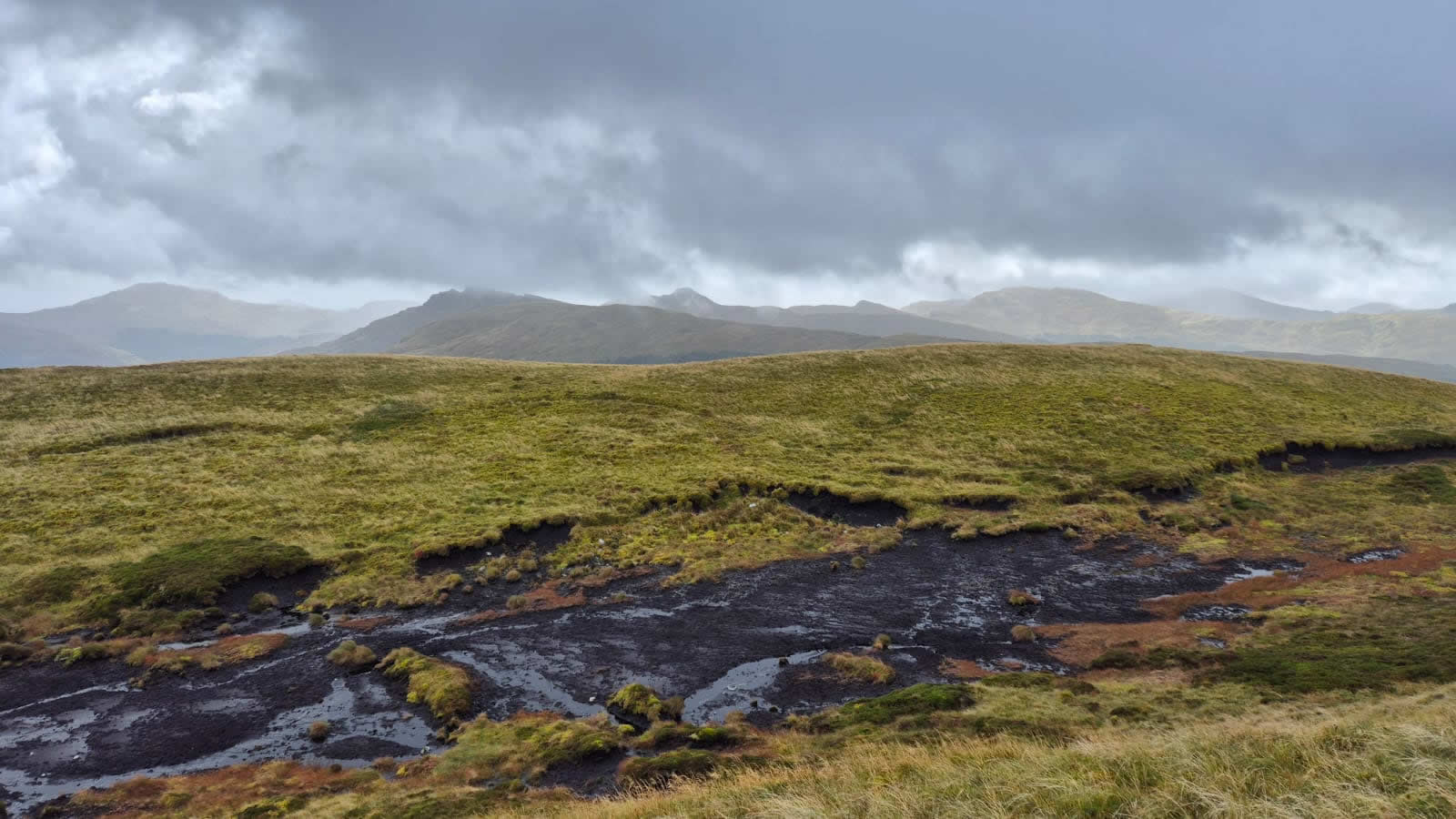
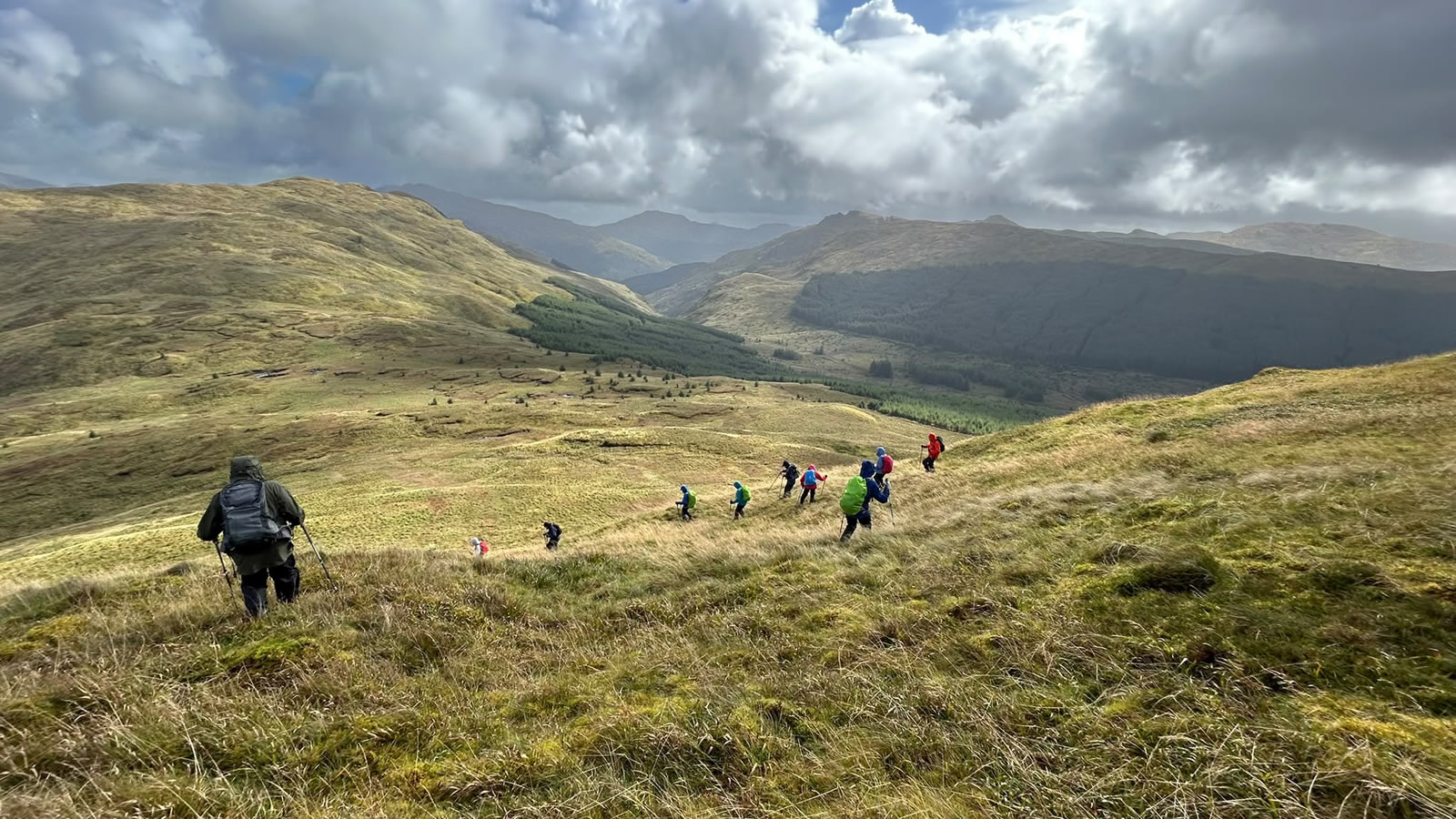
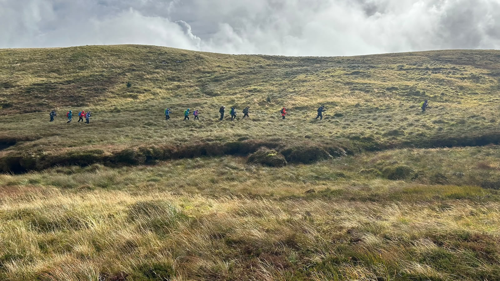
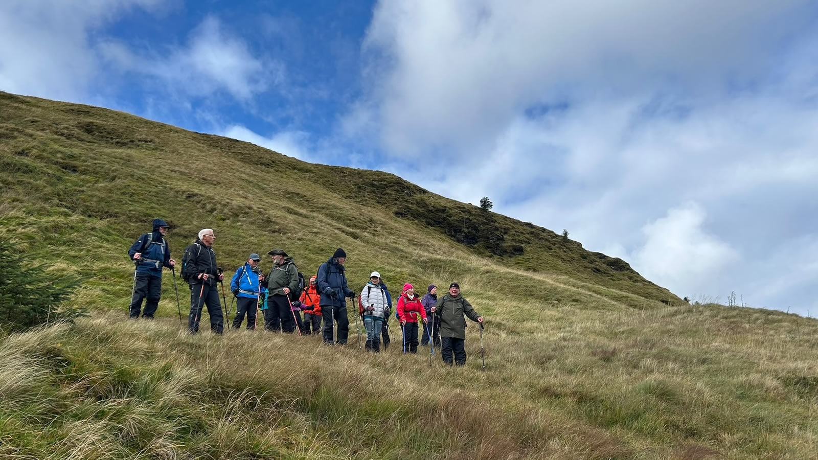
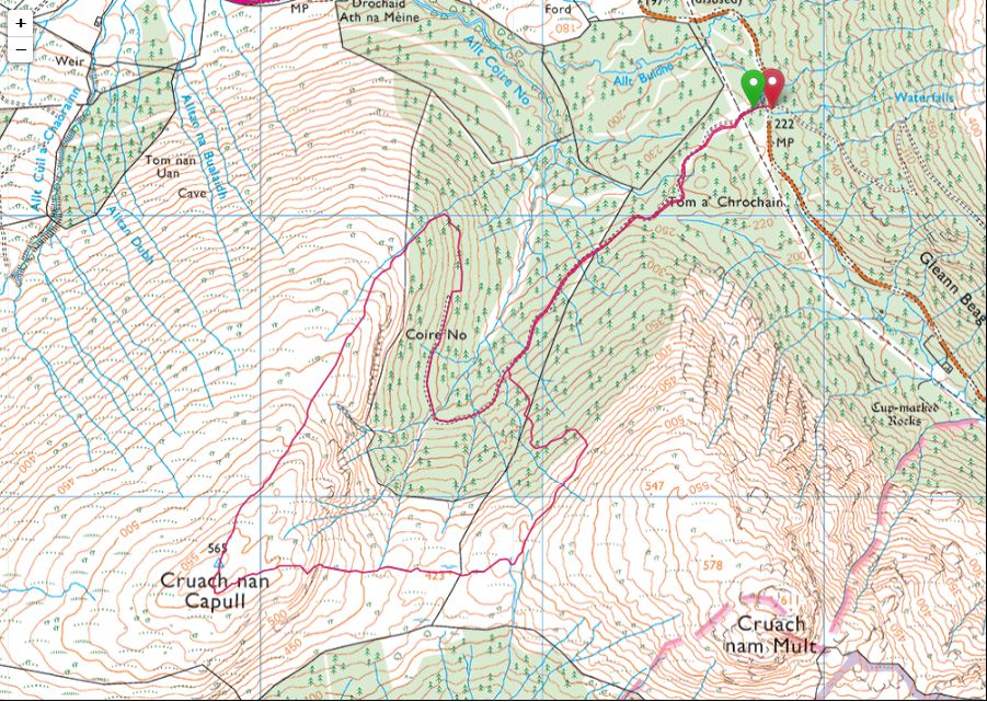
A steady stroll along the fine forest track around the upper reaches of Coire No to the point where the main track ends quite abruptly at an area of old, previously felled forestry which is now being rapidly overgrown with scrub and a scattering of un-planned secondary regeneration of pines; a difficult area to move through, but move through we did to reach the small stream that would lead us up and onto the open hillside. A short break here, just at the forest boundary before tackling the pathless grassy hillside that forms the north northeast ridge of Cruach nan Capull. Big tussocks of grass, awkward to walk on and sections of waterlogged sphagnum moss and peat bogs are the features of this hillside, so it was slow progress as we made our way towards the summit with an ever increasing coolness in the strong winds we started to encounter as we gained height.
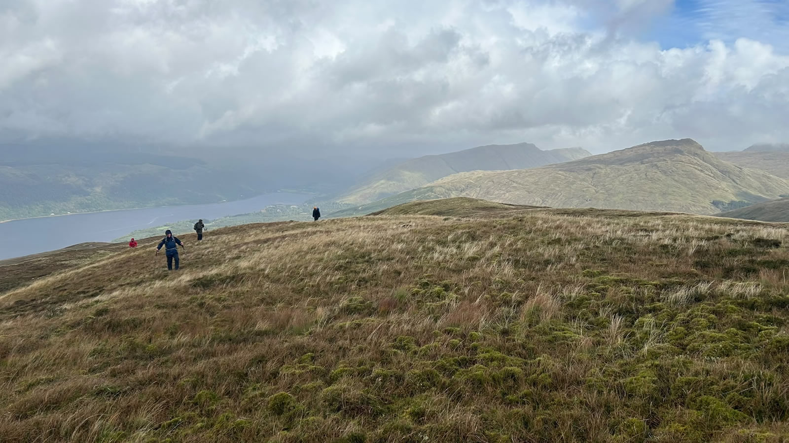
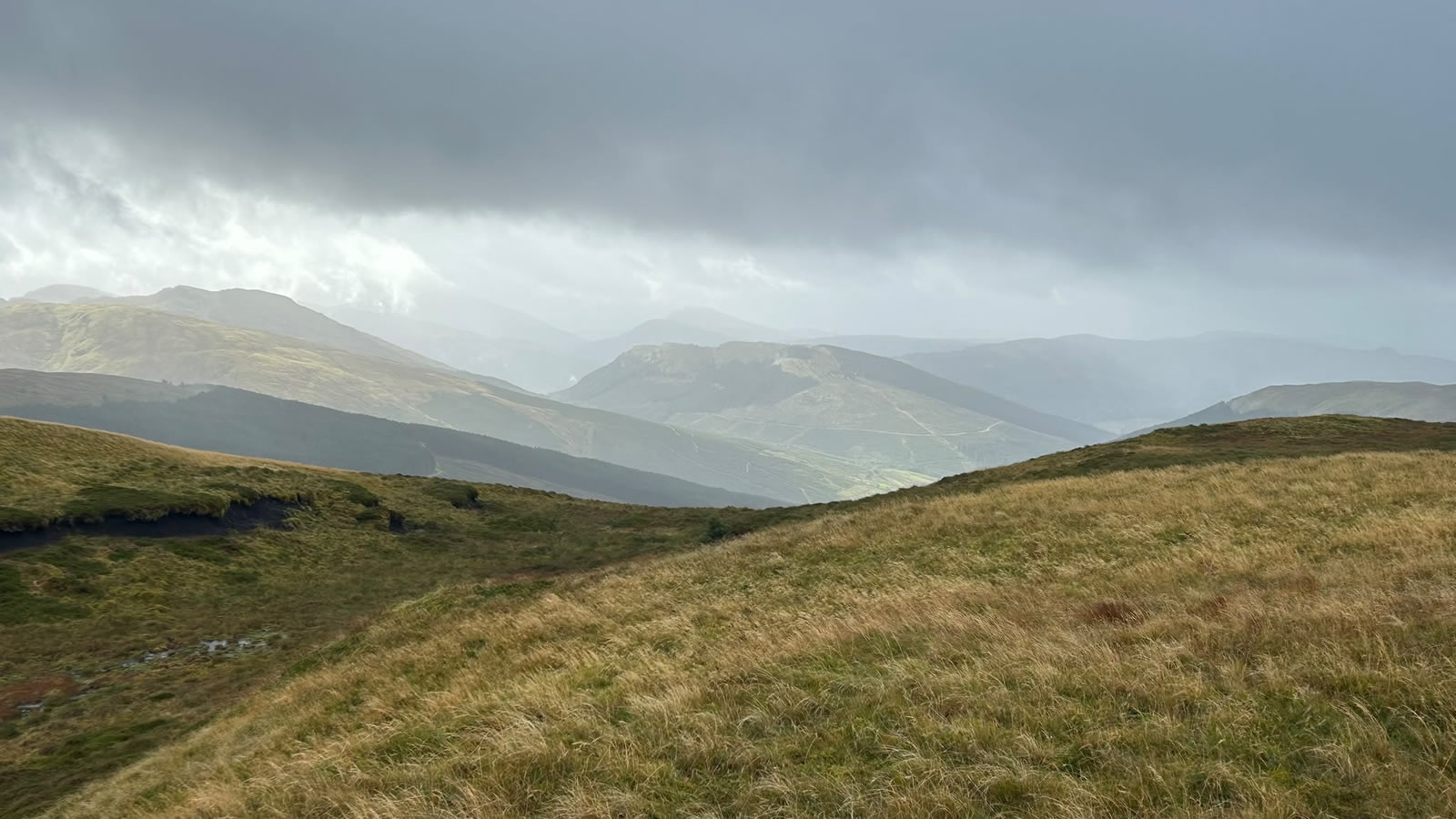
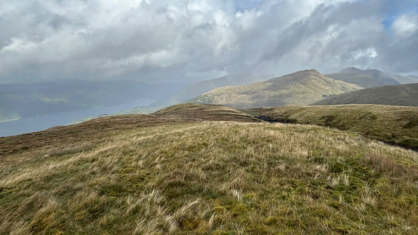
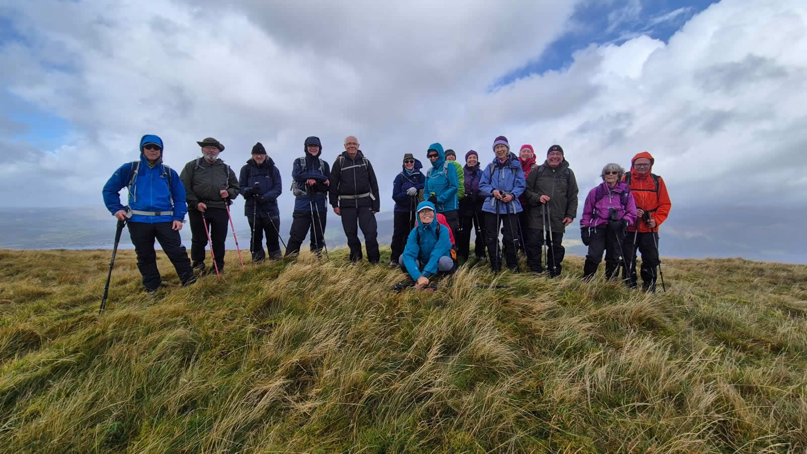
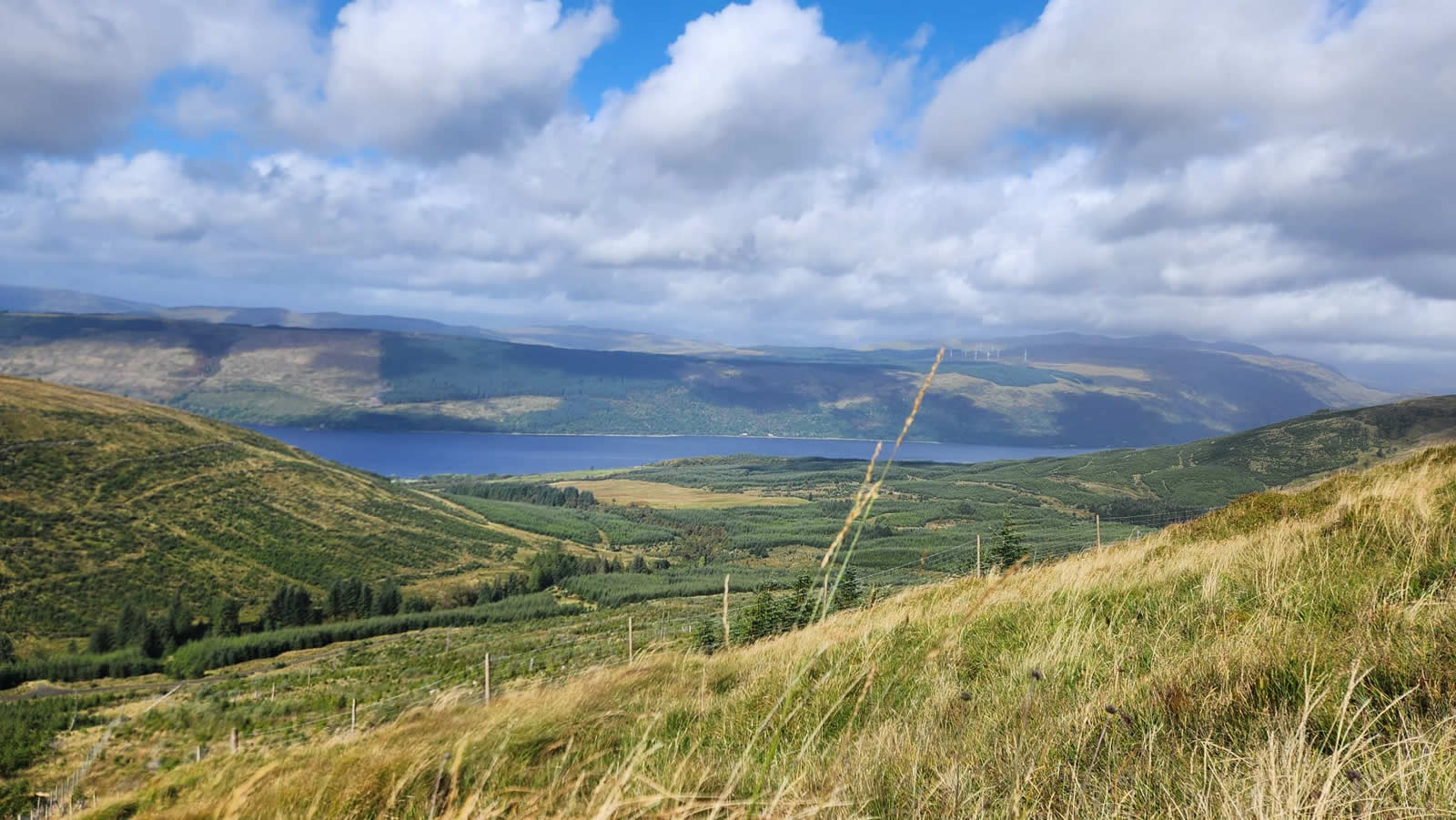
The fairly flat, plateau like summit of Cruach nan Capull is marked by a surviving Trig Point marking the 565m point. Given the low cloud base, the views from the summit were restricted to the surrounding hills, but non-the-less spectacular as the cloud formations added an extra dimension to the vista, beautiful. We moved a few metres off the main summit area to find ourselves a more sheltered spot for a well earned lunch break and just to enjoy the moment.
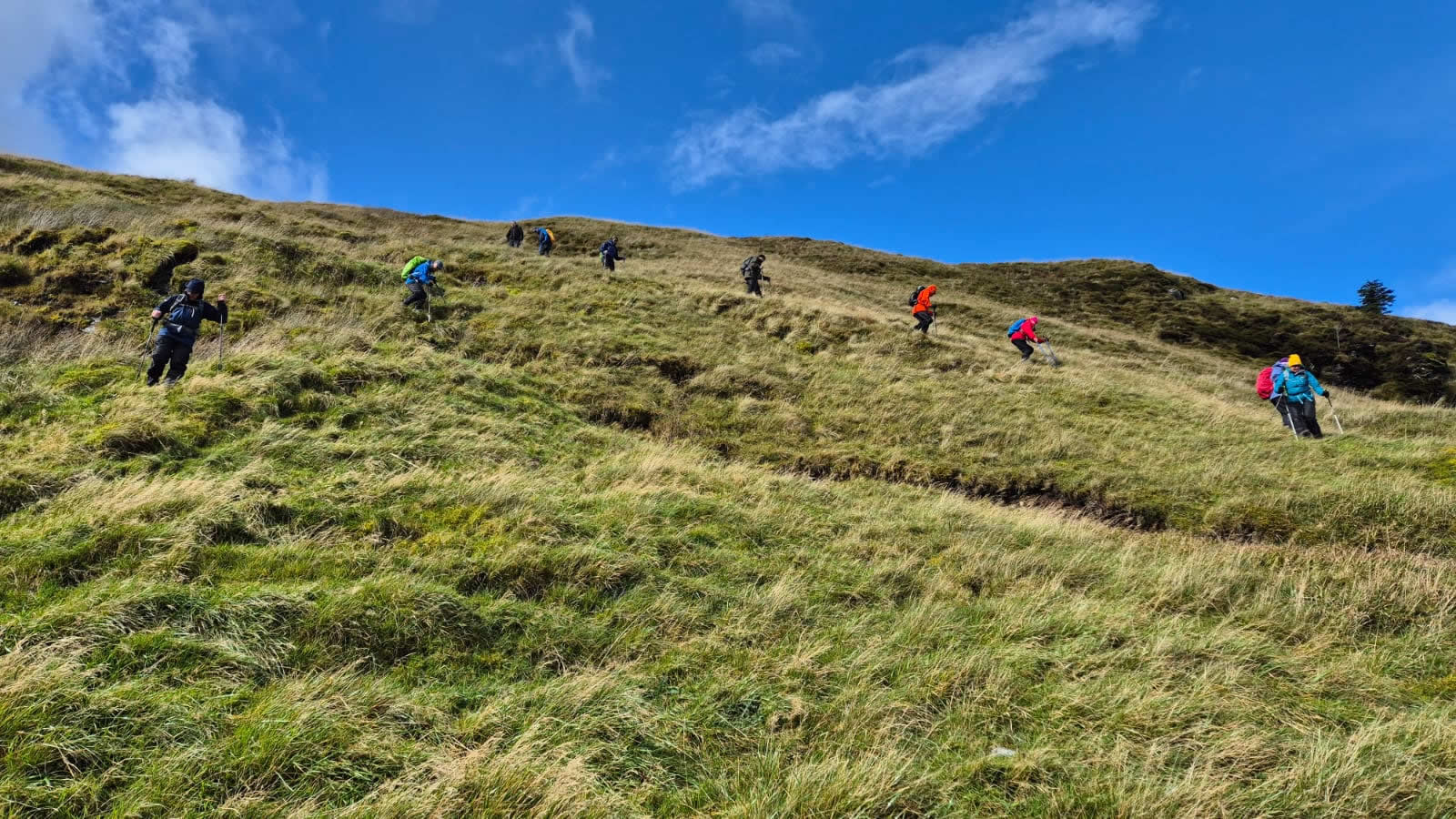
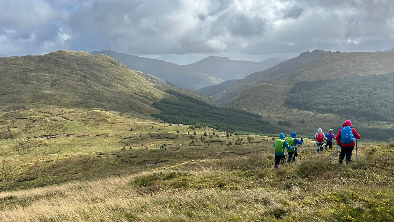
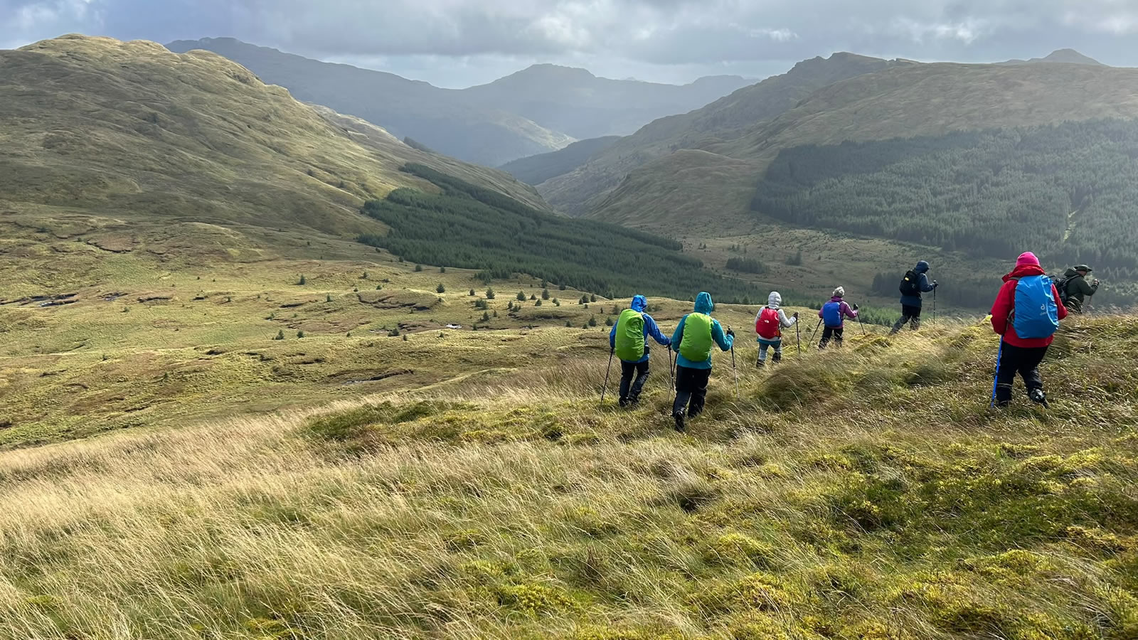
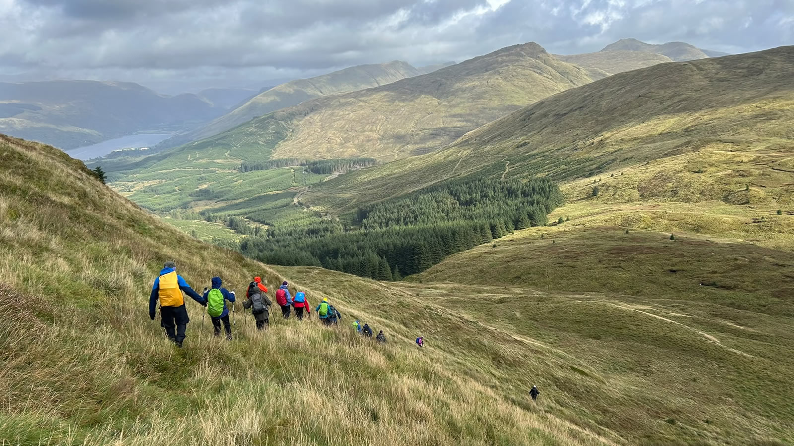
An eastward descent from the summit, skirting a very obvious peat hag and taking a zig-zag route down the hillside, steep in places we were heading towards the high spot on the 423m bealach between Cruach nan Capull and Cruach nam Mult, at which point we had the option to climb once again to the summit of Cruach nam Mult, or make a short ascent and then contour around the western base of Cruach nam Mult to pick up the narrow, overgrown logging path through the felled forest to gain the main forest track just east of Coirie No. It had been a fairly hard day to this point and we were a little behind the planned schedule, and so we decided to forego the climb to Cruach nam Mult, and descend back to the main forest track, Cruach nam Mult will always be there for a future day in these beautiful, grassy, but demanding little hills.
Thanks everyone for your company, and to Mike for a great day in the hills.
Photo Gallery
Click the buttons to select photo size.