B29 Crash Site - Alternative Route Recce
Thursday 6th August 2026
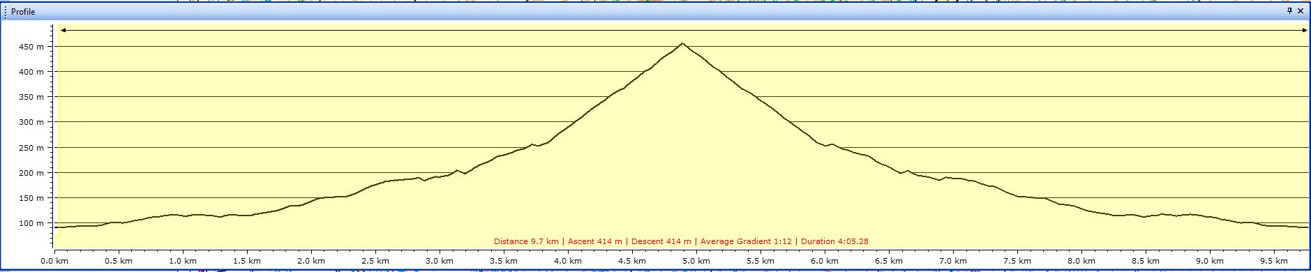
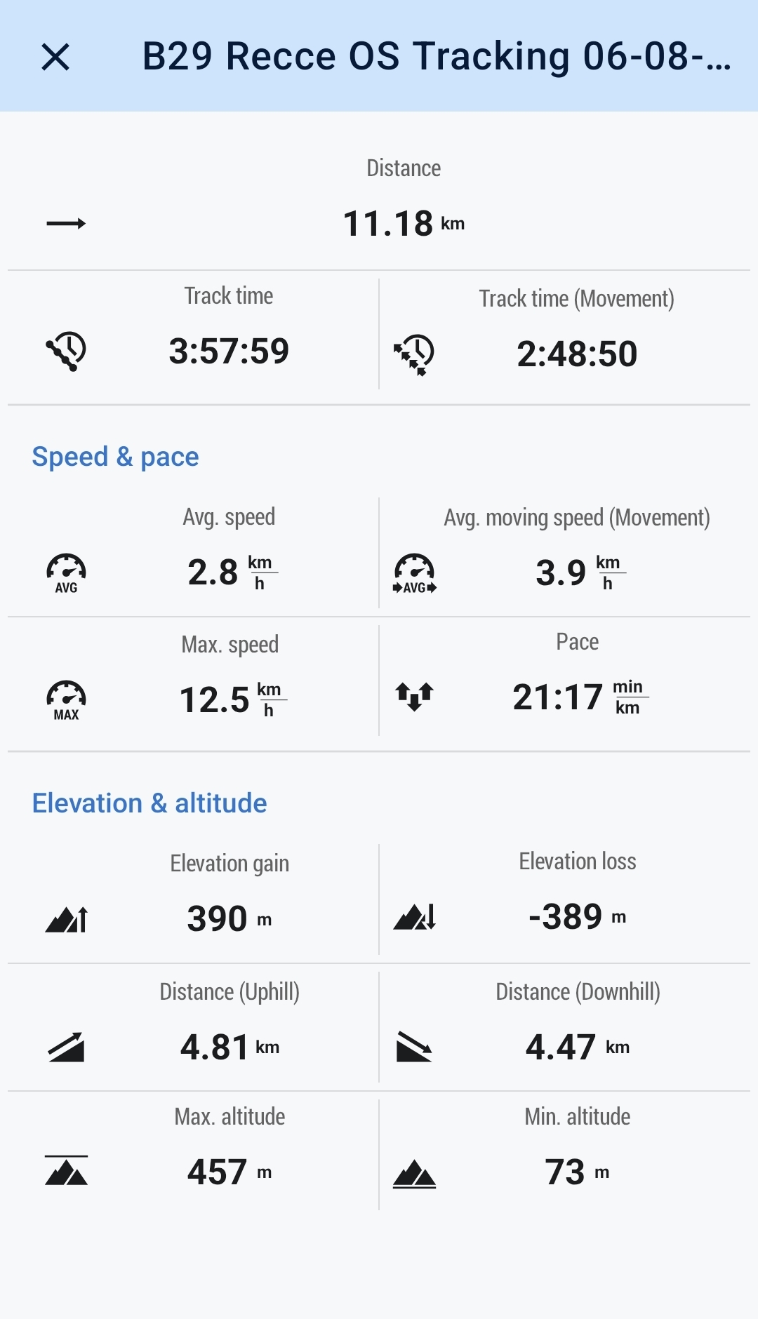
11kms
4hrs
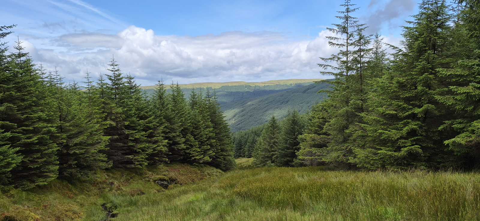
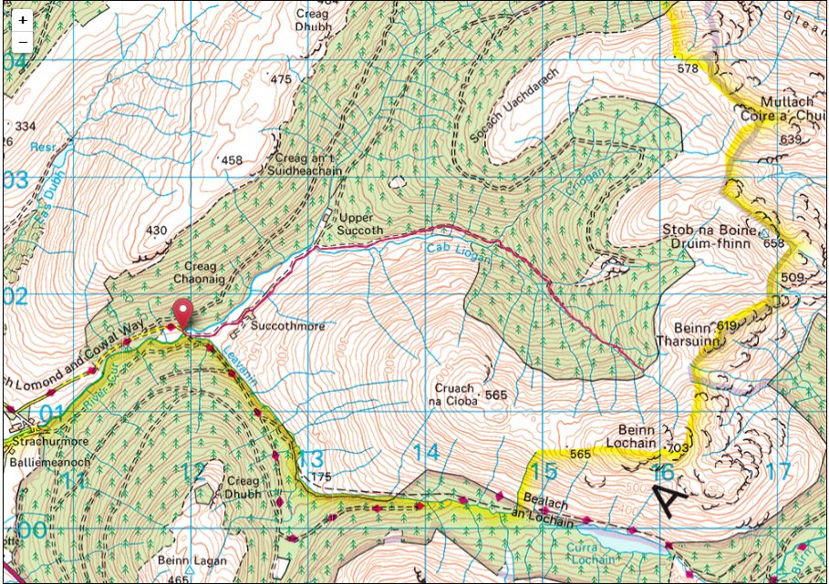
We have visited the B29 Crash Site on the western slopes of Stob na Boine Druim-fhinn on a number of occasions and from various directions. The last occasion saw us take a circuitous route from Succothmore via forest tracks which, on the return route, required a rather torturous transit through an area of thick forest and very boggy ground which rather spoilt an otherwise excellent route and a fine walk. Therefore, today we set out to reconnoitre a probable alternative means of bypassing the kilometre or so of boggy ground, the intention being to use a gully running along the course of the upper stretches of the Cab Liogan which, although shown on the OS maps as being forest, when viewed as a satellite image a clear gap in the forest could be seen on either side of the Cab Liogan leading directly to the open hillside beyond the forest.
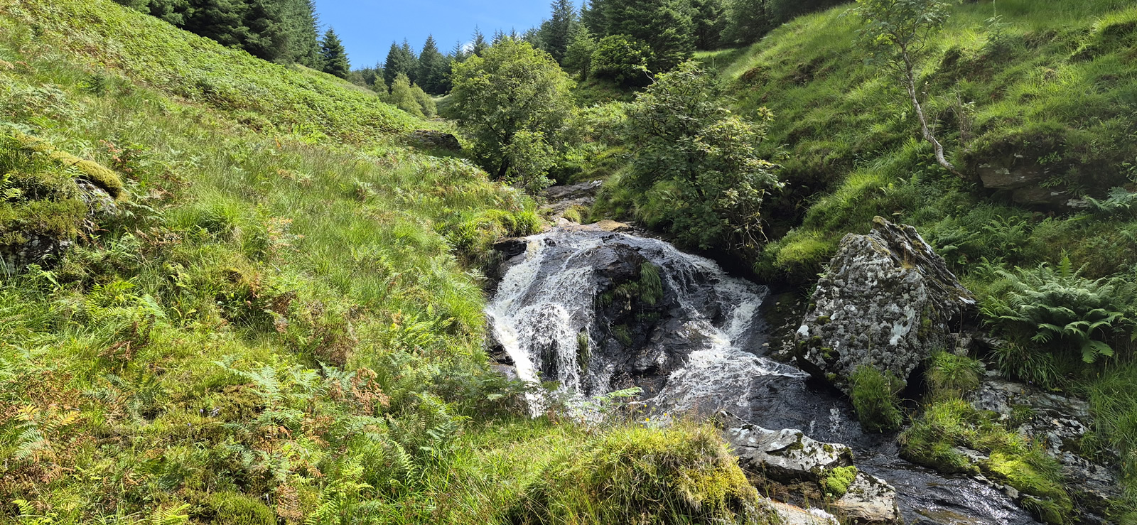
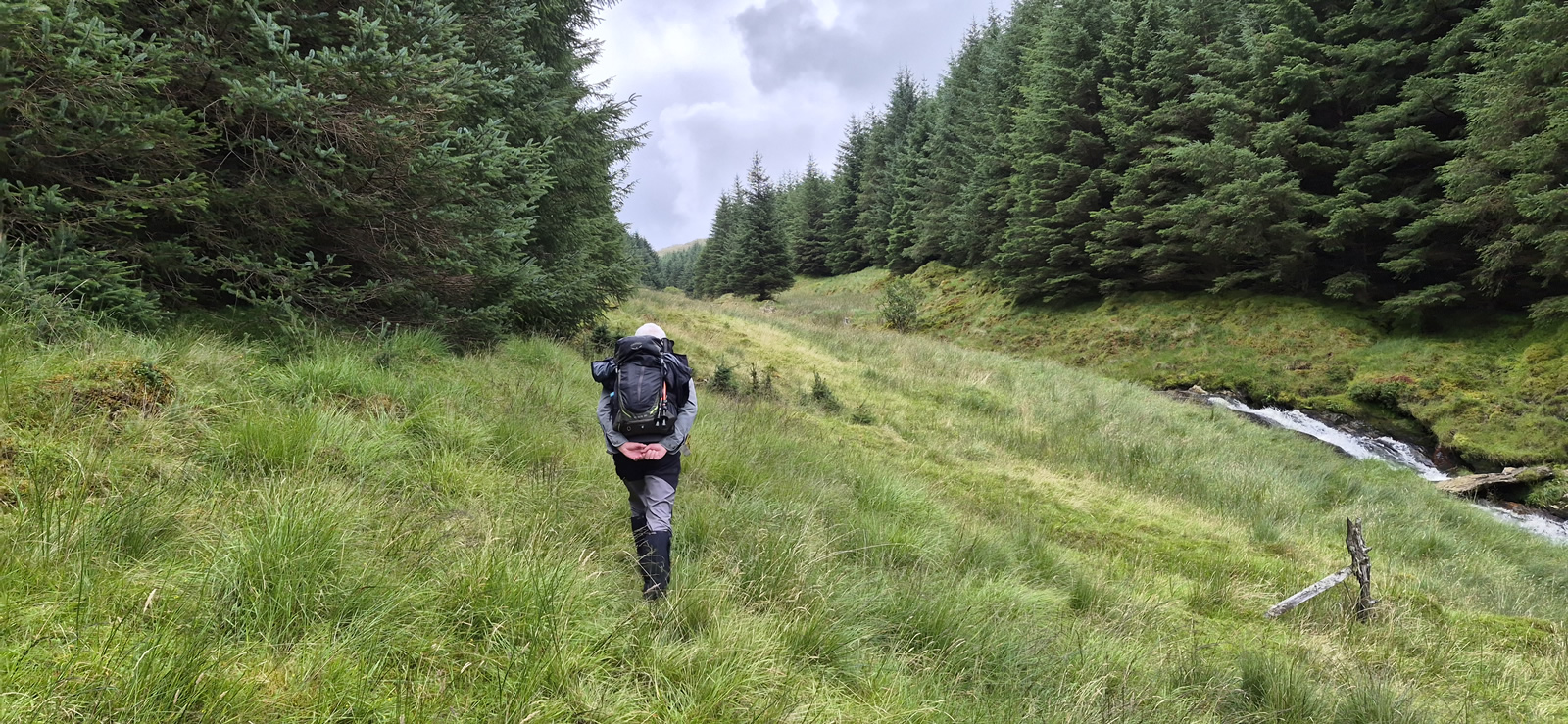
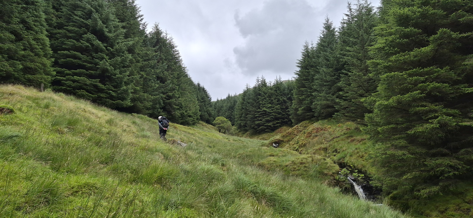
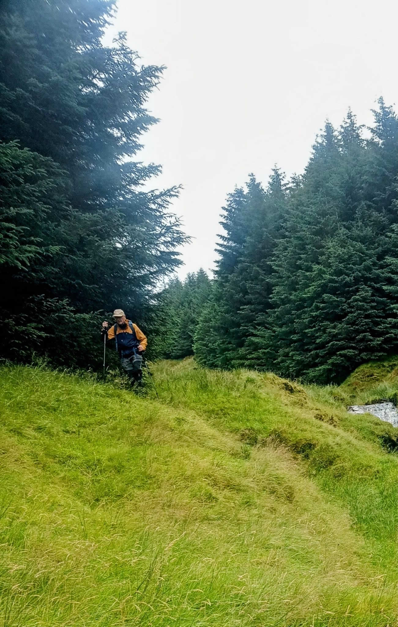
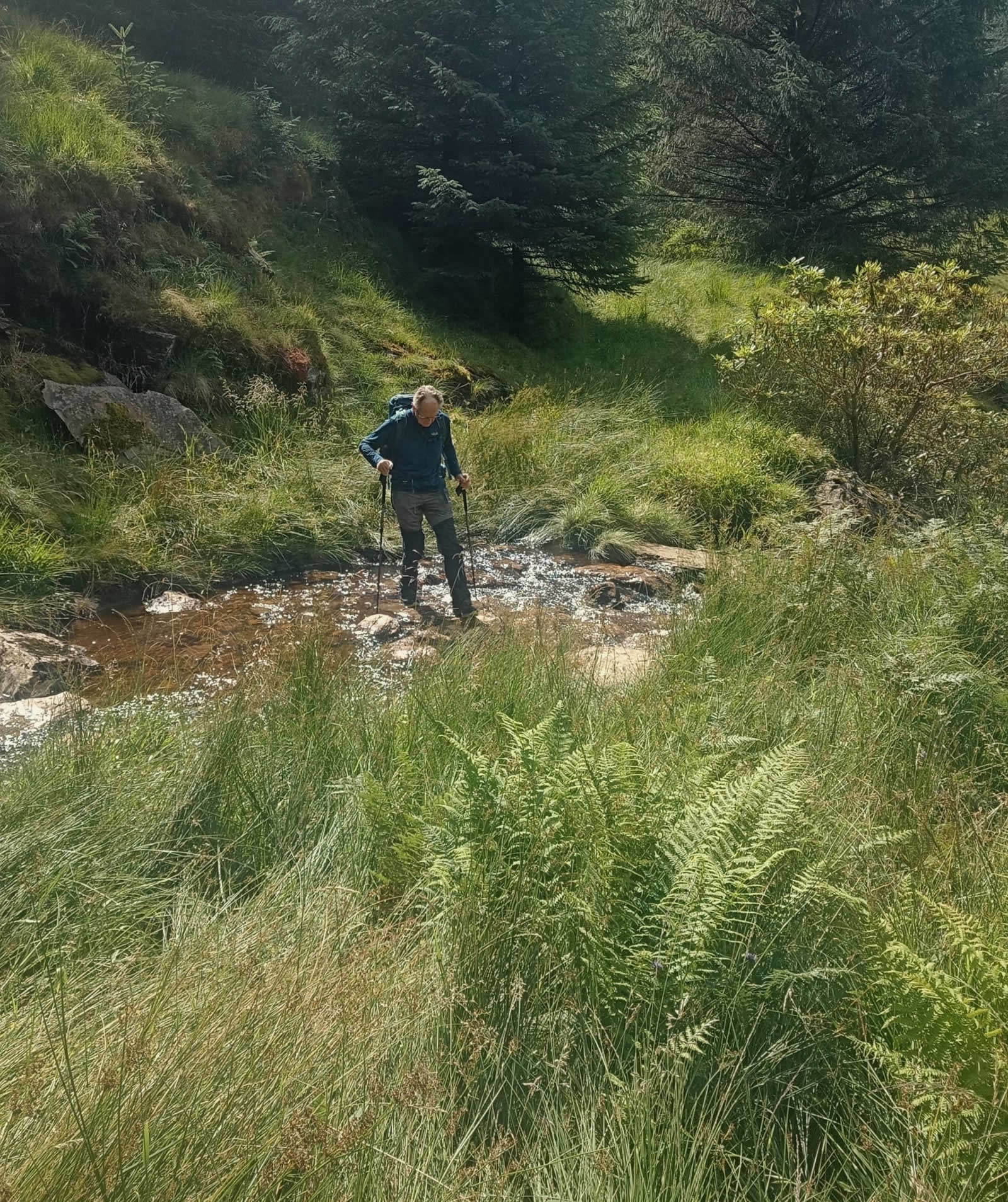
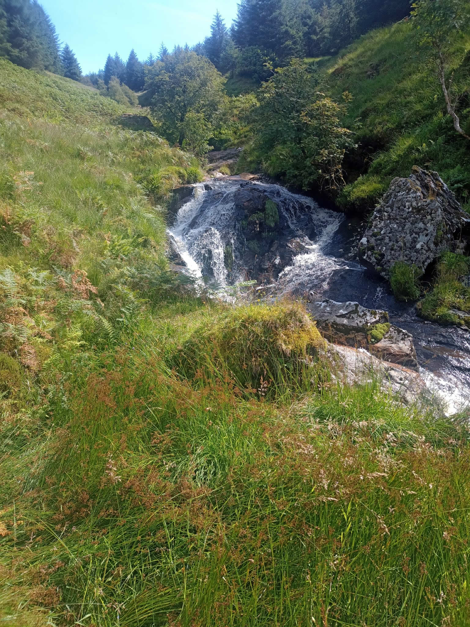
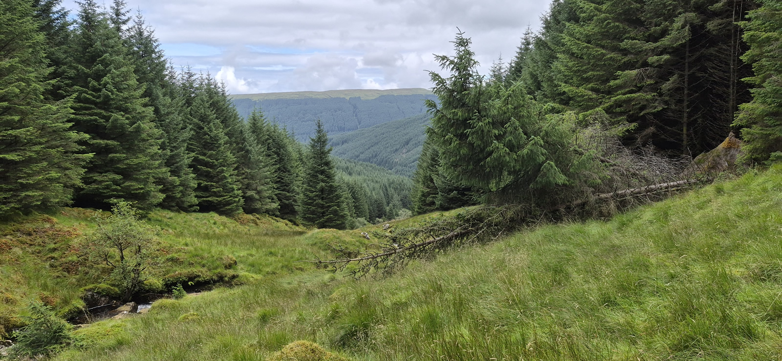
Leaving Succothmore, we basically reversed our previous track and turned east after crossing the bridge over the Cab Liogan at Upper Succoth and followed the good forest track to the point some 200 metres beyond the waterfall below the Eas an Fhithich to the point where we had exited the boggy forest section that we were now attempting to bypass. Therefore, instead of heading into the forest, we continued on ahead with the Cab Liogan below us, and within a few metres we were pleasantly surprised to see that there was indeed quite a gap between the forest and the river below. The gap, although trackless, nevertheless offered a fairly easy ascent that was predominantly tufted grass underfoot with just an occasional reed bed with only a top covering of wet grass to contend with; as an alternative descent route, this way was a vast improvement on the thick forest and boggy ground of our previous visit.
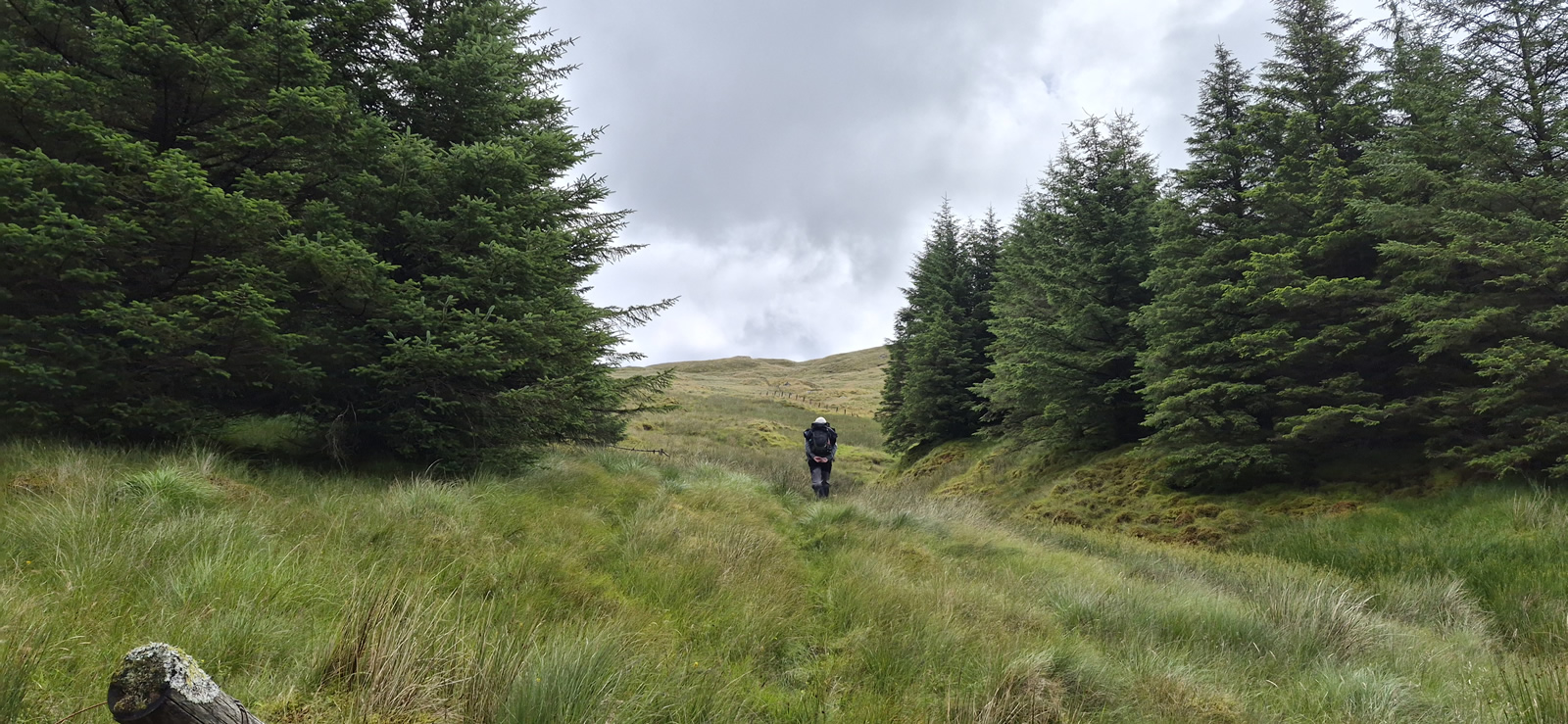
We completed the climb up the gully to an extremely old wooden gate that marked the forest boundary and gave access to the open hillside. Job done, recce a success. We found ourselves a nice grassy hump on which to sit and have a short break before then retracing our steps, which in effect is now the descent route which we would use in future, and made a leisurely return to the main track at the waterfall, and then back to Succothmore.
Once more, a plan had come to fruition, with a fine, if slightly short day in the hills.
Thanks Mike, look forward to completing the entire route and the new descent section soon.
Photo Gallery
Click the buttons to select photo size.