Cruach nan Capull(565m)
Wednesday 8th July 2026
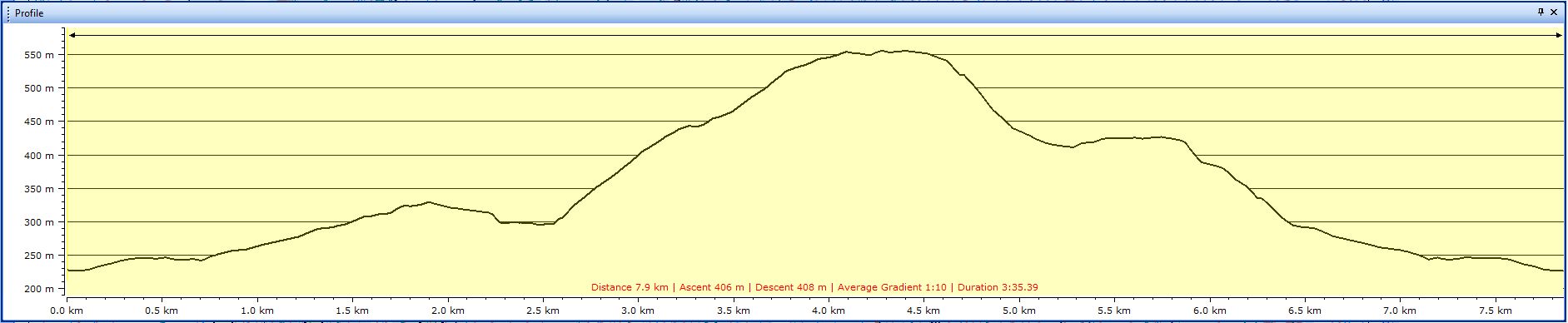
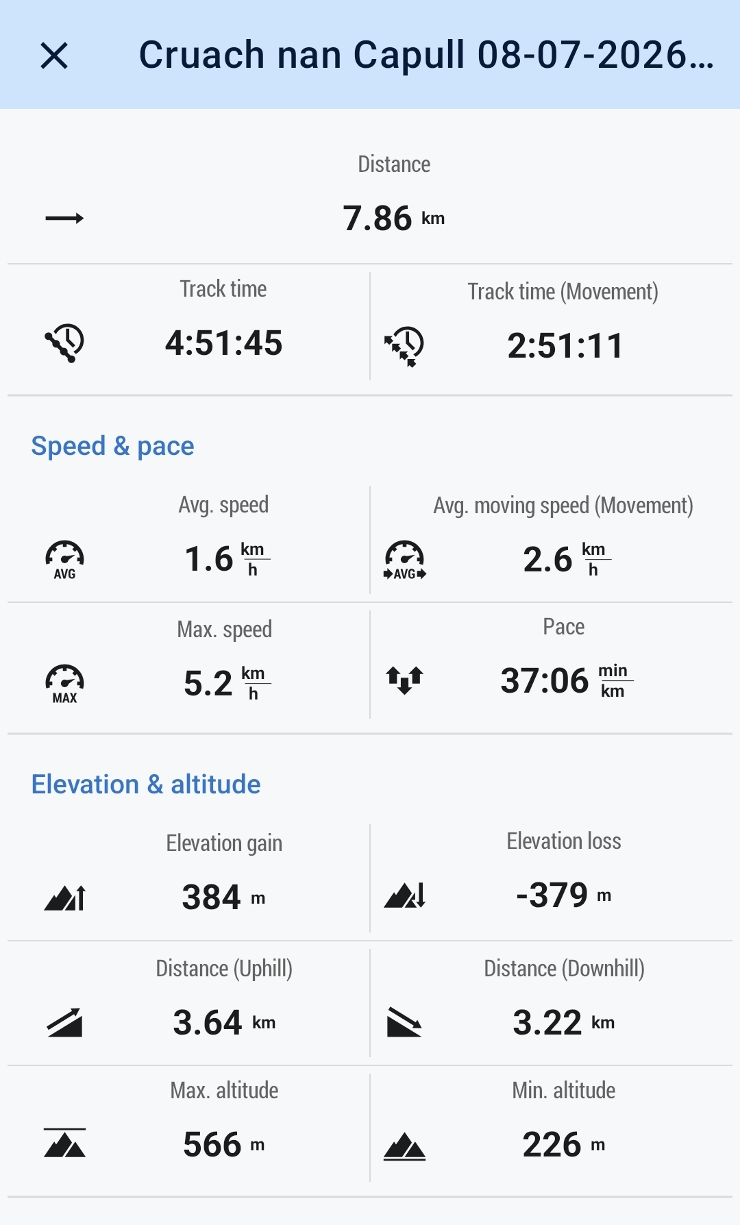
8kms
4hrs 45mins
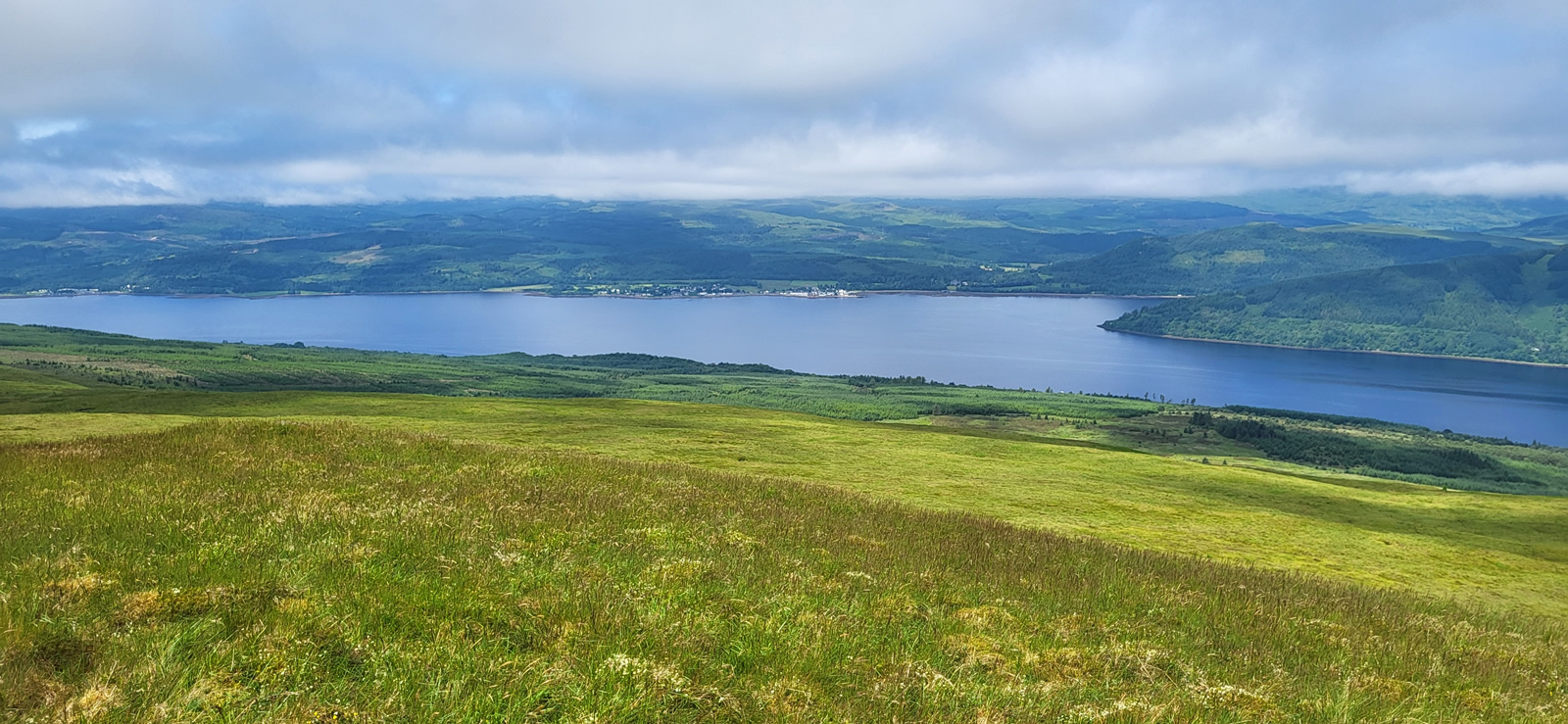
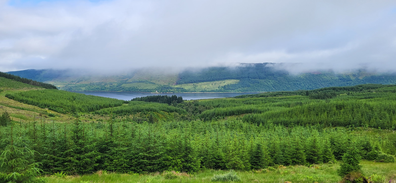
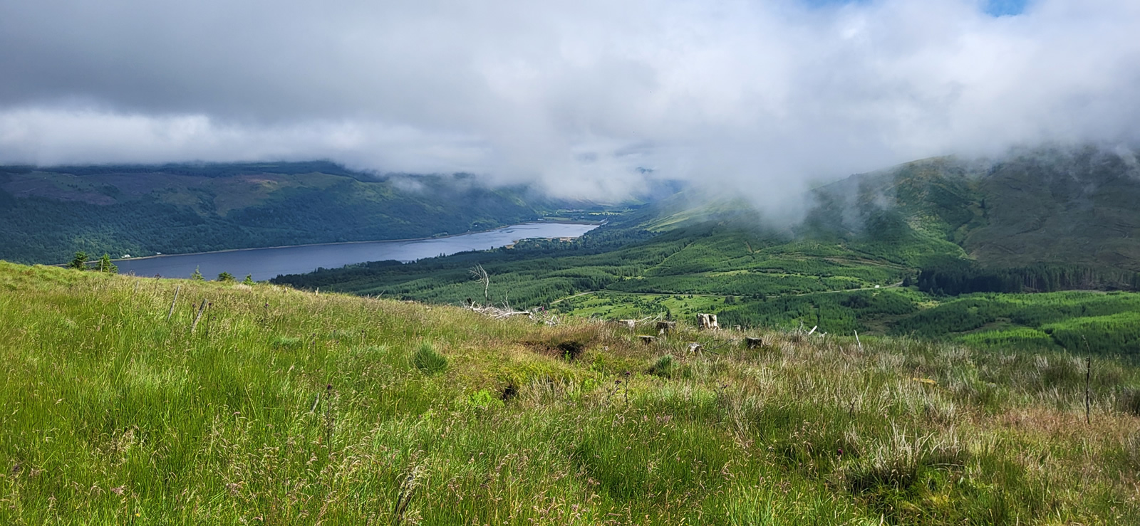
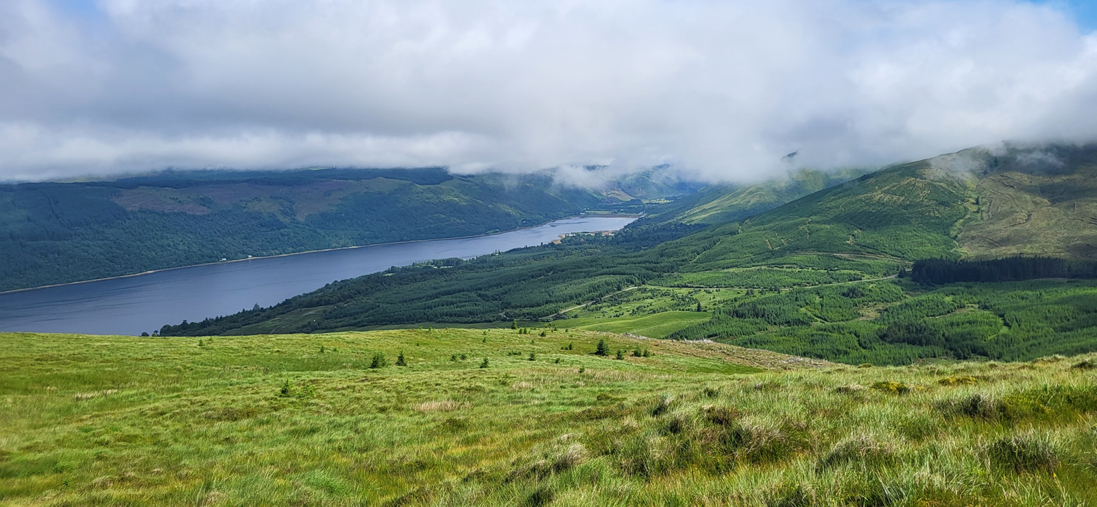
Over the past few weeks, the group of hills straddling Hells Glen seems to have drawn us like a magnet. Since we first walked the two on the northern side of the glen, Stob an Eas and Beinn an t-Seilich and looked over the glen to the southern duo, Cruach nam Mult and Cruach nan Capull we had it set to complete the quartet, and today would see us heading for the fourth and final top, Cruach nan Capull.
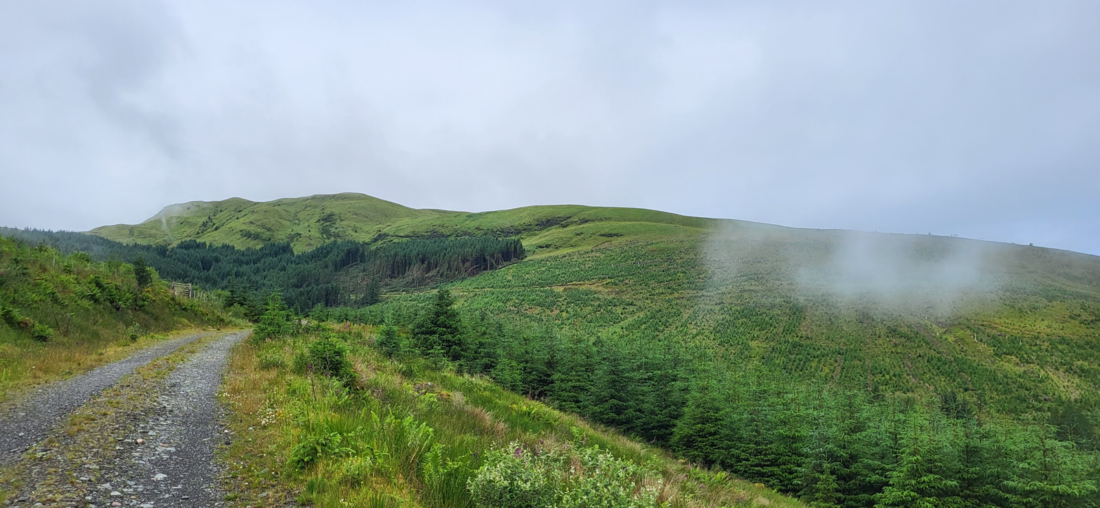
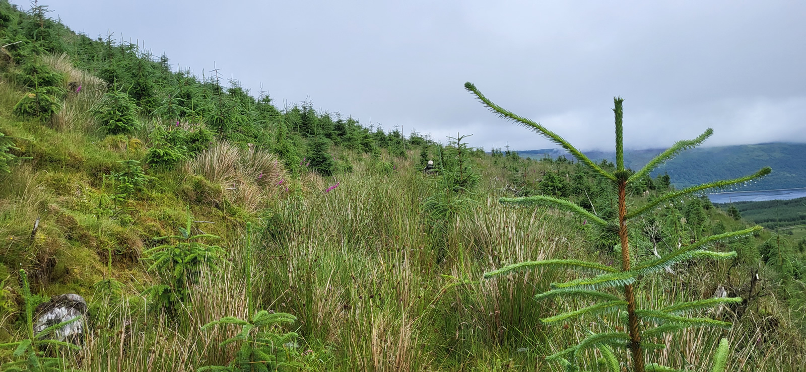
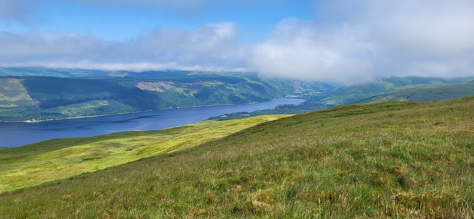
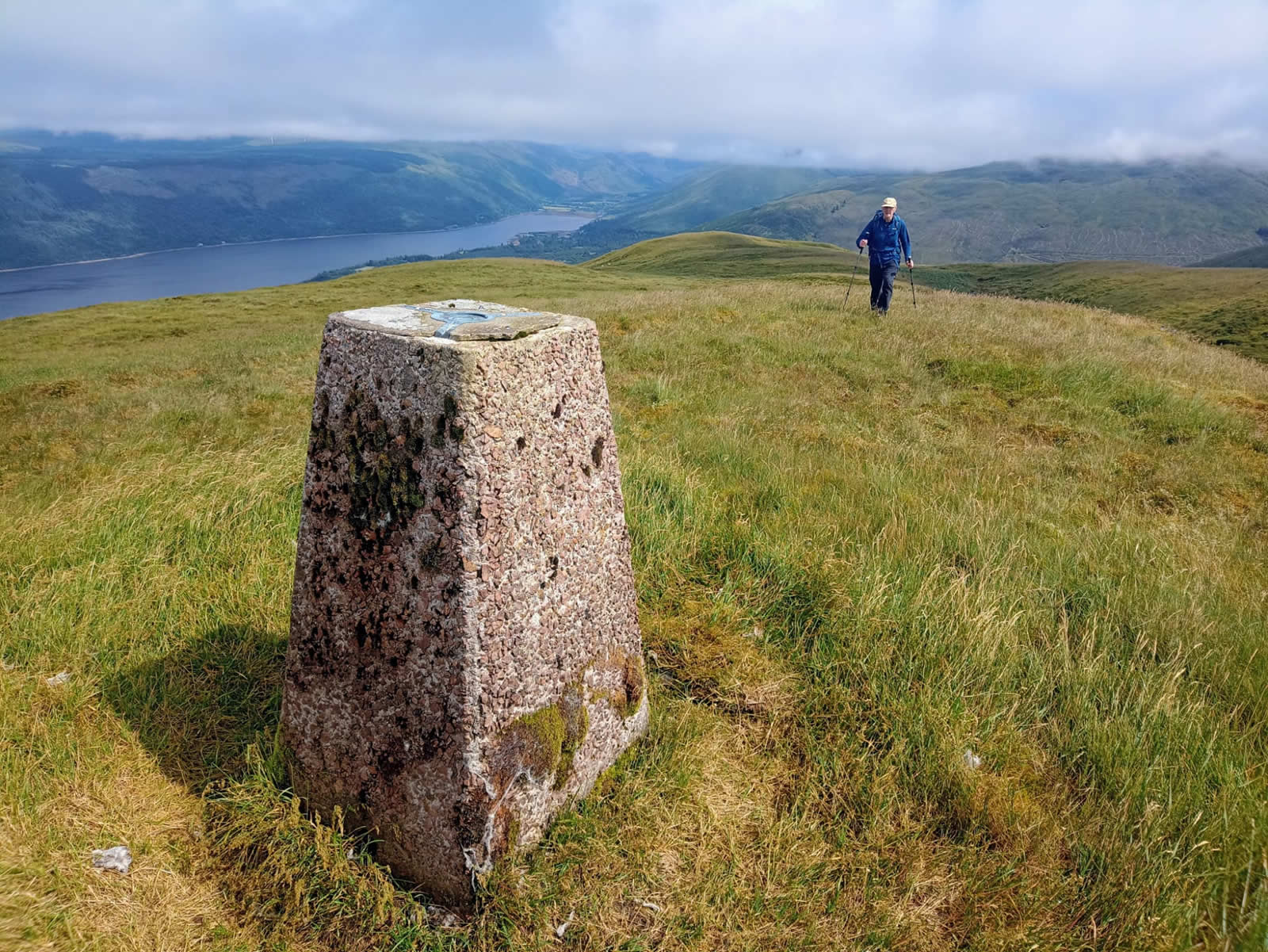
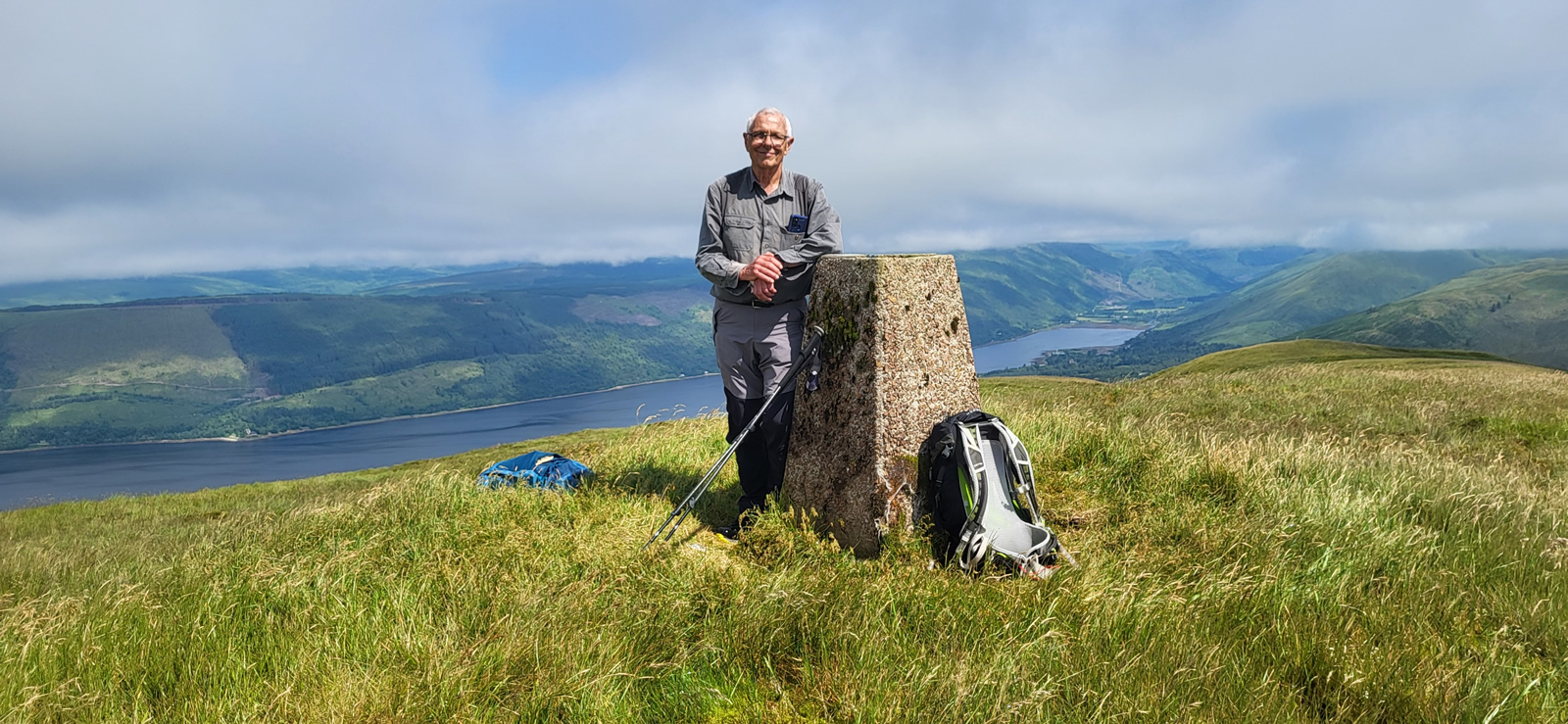
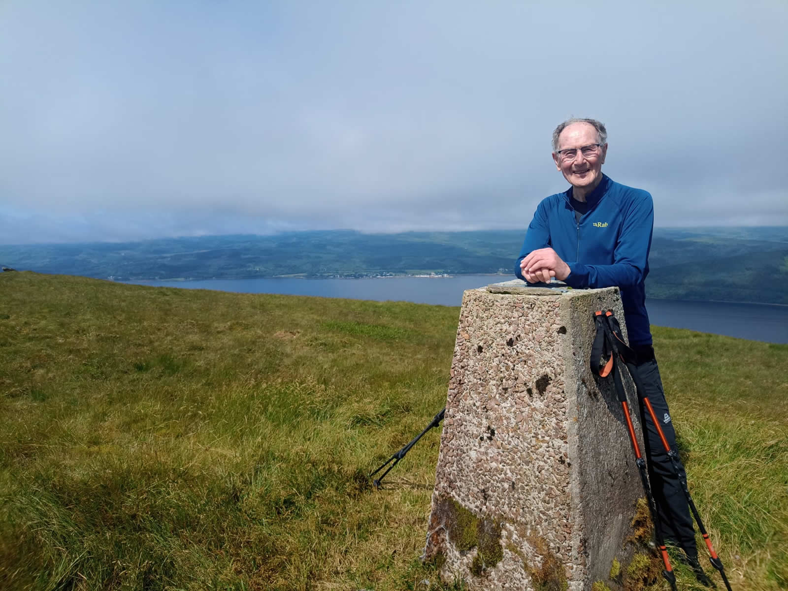
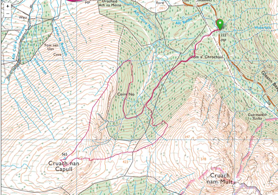
Parking once again in the same spot at the crossroads of the two main forest tracks, we headed south along the same route as for Cruach nam Mult two weeks ago, only this time going beyond the point we cut off the track and onto the hillside we continued around Coire No to the end of the main track. Our research on this hill had shown that there was an fairly undefined path zig-zagging away from the end point of the main track which then contoured the hillside to meet up with a small stream along which it would then turn and climb up alongside to reach the open hillside a short distance away. And so it transpired, we did find a path, well overgrown but nevertheless distinguishable that did indeed lead to a small stream, which we climbed up through some rough ground to reach an old fenceline bordering the open hillside. From this point on it was simply a matter of taking a bearing and following the line of least resistance up the long grassy ridge. It was a relatively easy and straight forward ascent, the hill takes a few dips and has a few false summits as you cross the dips, but eventually we found ourselves on a broad grassy summit with two distinct humps, on the highest of which stands the Trig Point. A short distance beyond the Trig Point a solitary rock provided an ideal spot for lunch and a well earned pause for recovery if needed.
Our intended descent was to head generally east off the summit, crossing the 423m bealach and picking up the track off the hillside and through the forest that we had used on the ascent and descent of Cruach nam Mult just two weeks ago. And that is what we did, almost, we did actually swing slightly more north east below the highest point of the bealach and made more work for ourselves as the ground was much rougher and a little more up and down, in hindsight we should have stuck with our original plan to cross the bealach at it’s highest point, which is noted for any future visits to this lovely grassy hillside.
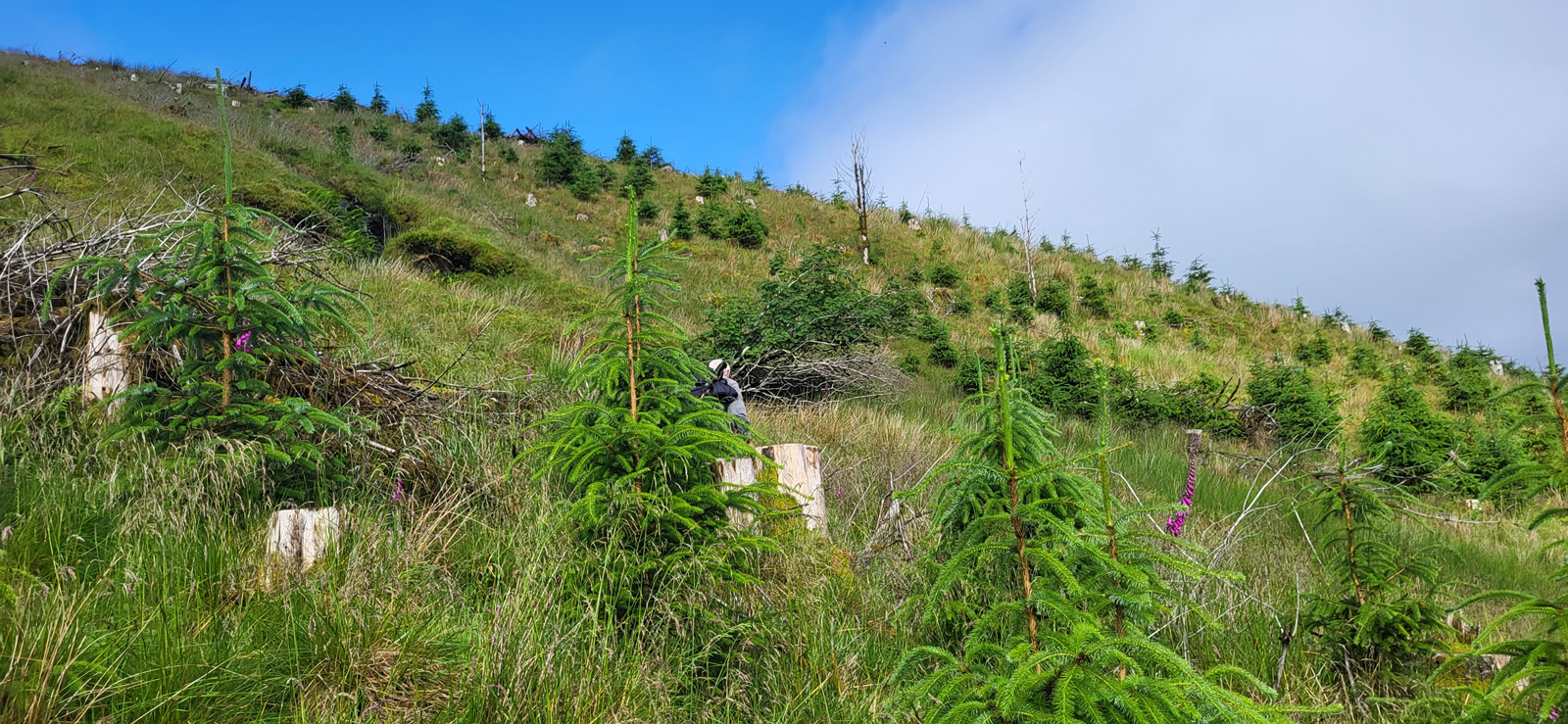
I haven’t mentioned the weather yet, which played quite a factor in just how exhausted I felt at the end of this short day in the hills. From early on we had clear blue skies with the heat building as we climbed from the forest up the grassy ridge to the summit, but it was all pleasant enough, and with a longish break on the top everything felt fine. However, as we made our departure from the summit, it was obvious that the heat was becoming quite intense, and by the time we were in the rough ground over the bealach I began to feel the effect of the heat getting to me, even as I was well hydrated having taken plenty of water with me, and I must admit the I was extremely glad when we finally left the hillside and forest behind and gained the main forest track for the final kilometre back to the start point. Just thankful I had loaded up with extra water.
Our quartet of hills completed, and a great, if not slightly exhausting day on the hills.
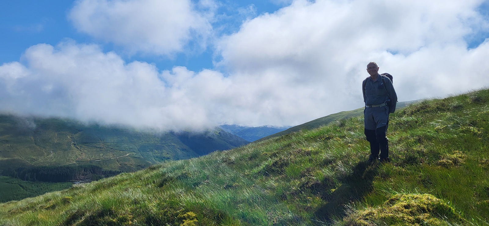
Thanks once again for you company Mike.Photo Gallery
Click the buttons to select photo size.