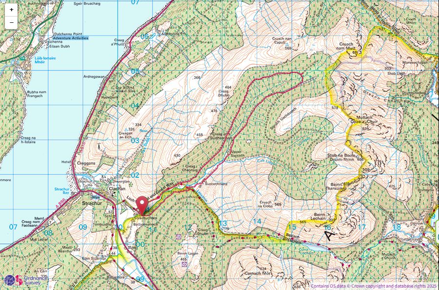
Strachur Forest Loop
Thursday 19th June 2025
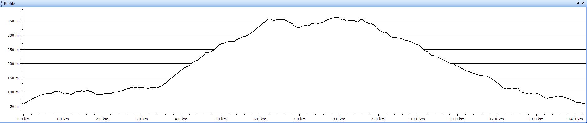
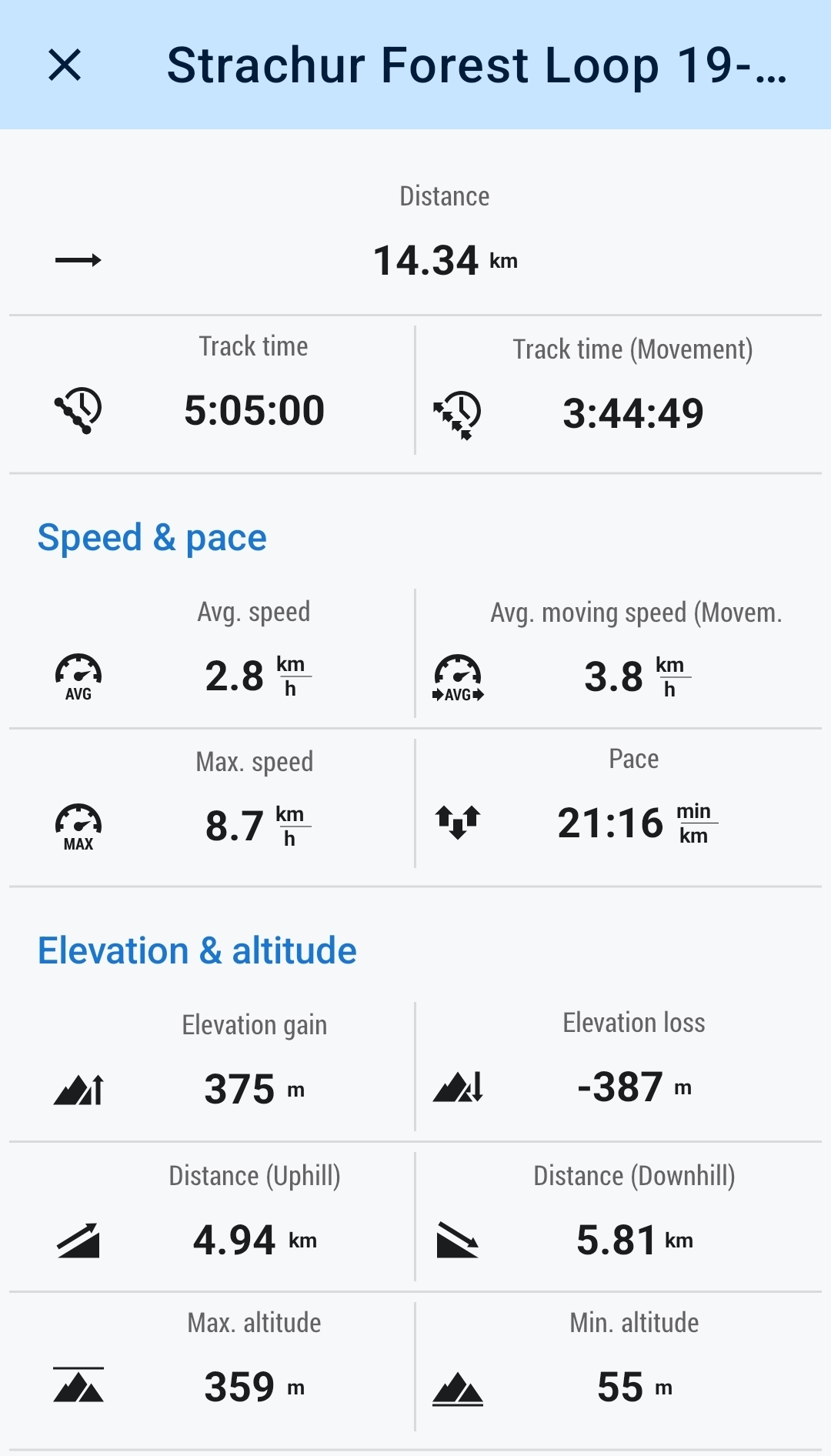
14kms
5hrs
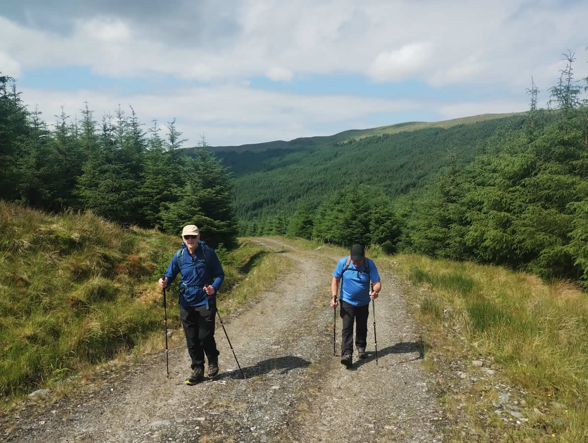
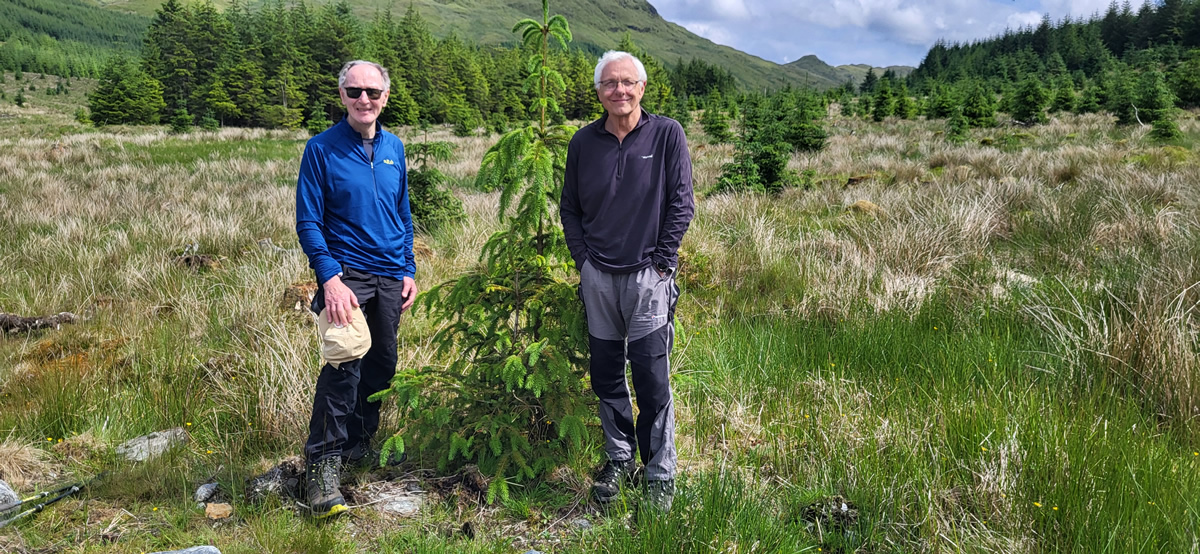
Mike is leading one of our group walks around the Strachur Forest Loop this coming Saturday, and was making a final recce of the route today to ensure that the current forestry works were not going to impinge on his planned route. Neither Ian nor myself are able to join Mike on Saturday for the walk, so we took the opportunity to accompany him today on his recce.
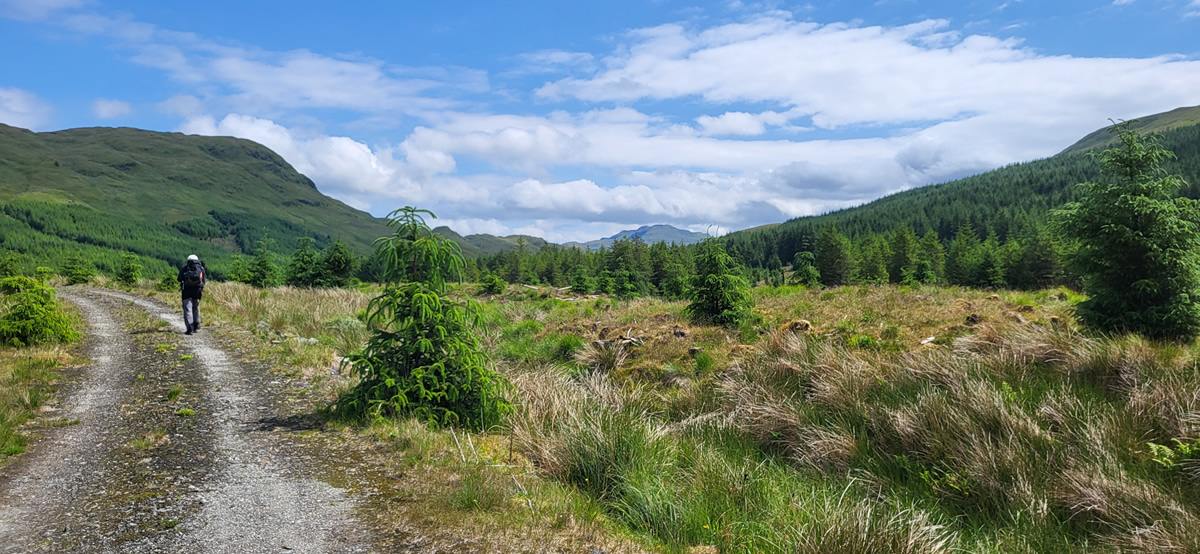
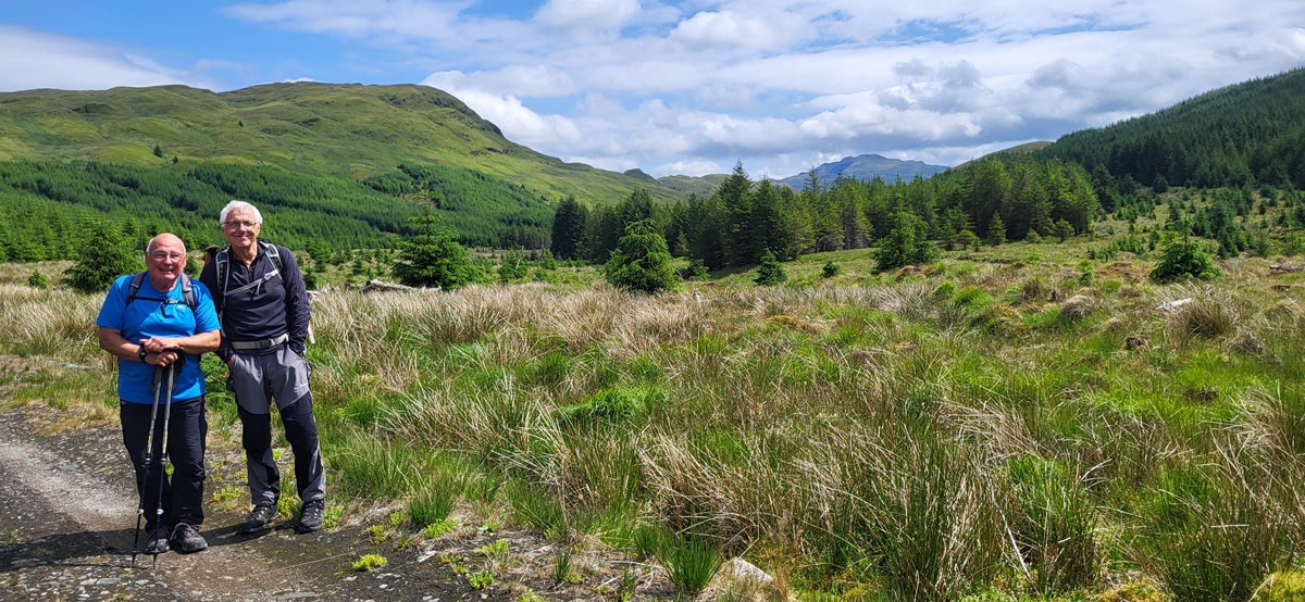
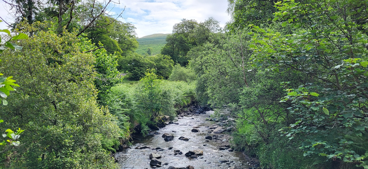
With the warm spell promising a fine day ahead we set off from the forestry car park at Strachurmore to take the well graded forest track which contours the hillside above the River Cur towards Succothmore, some three kilometres away and lying in a very picturesque area of open hillside just beyond the forest boundary. As we made our way along the forest track, it was interesting to note the contrast in the density of the forest on each side of the track. To our right, the trees were well spaced and branches clear of the ground, the type of forest that you could easily walk through should you need to pass through it. Whereas, on our left the trees were so thick with branches to ground level that it was impossible to even place a foot into the forest never mind to walking through it.
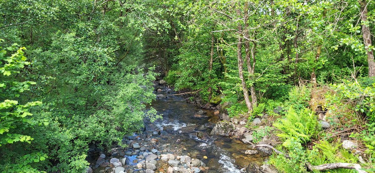
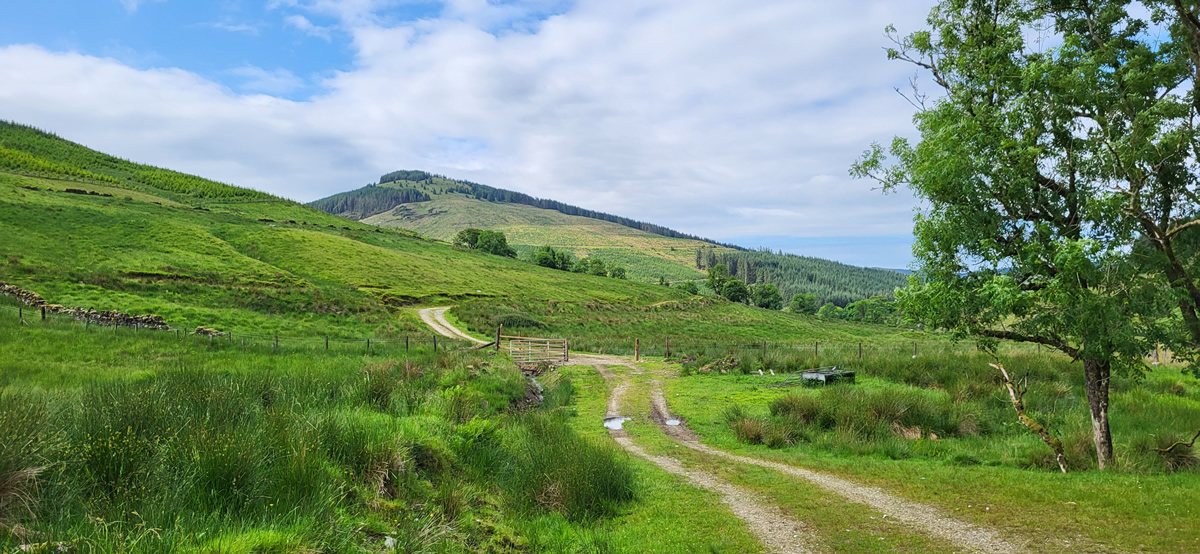
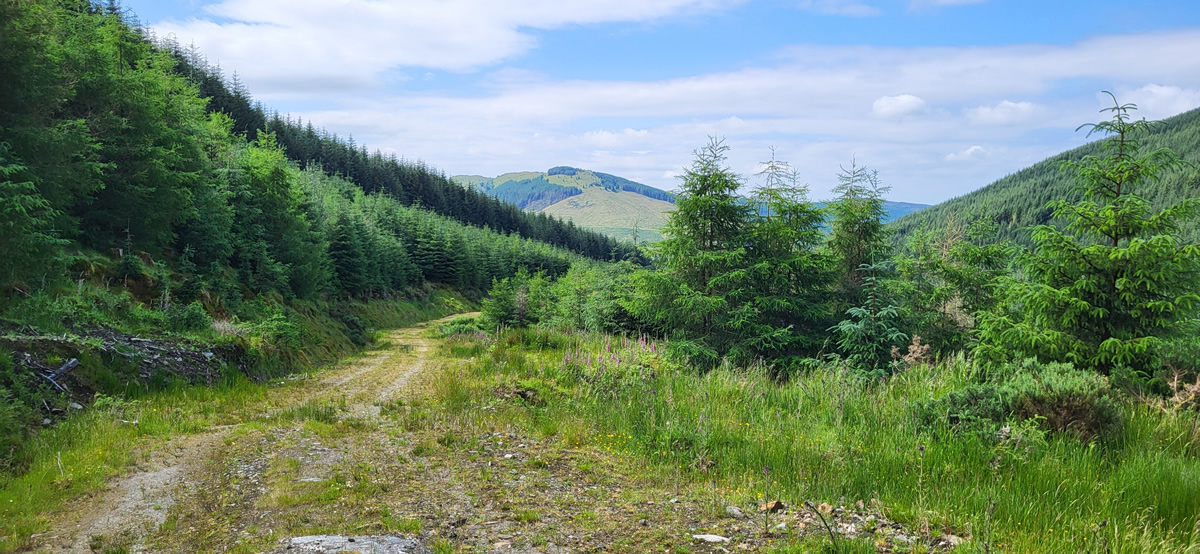
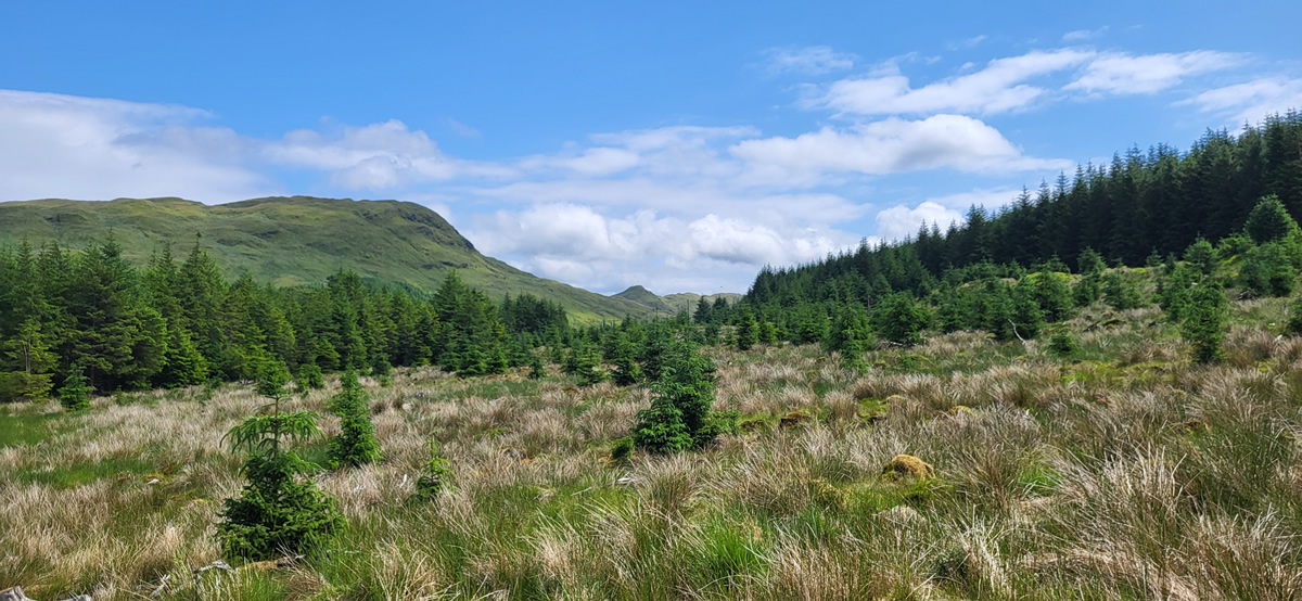
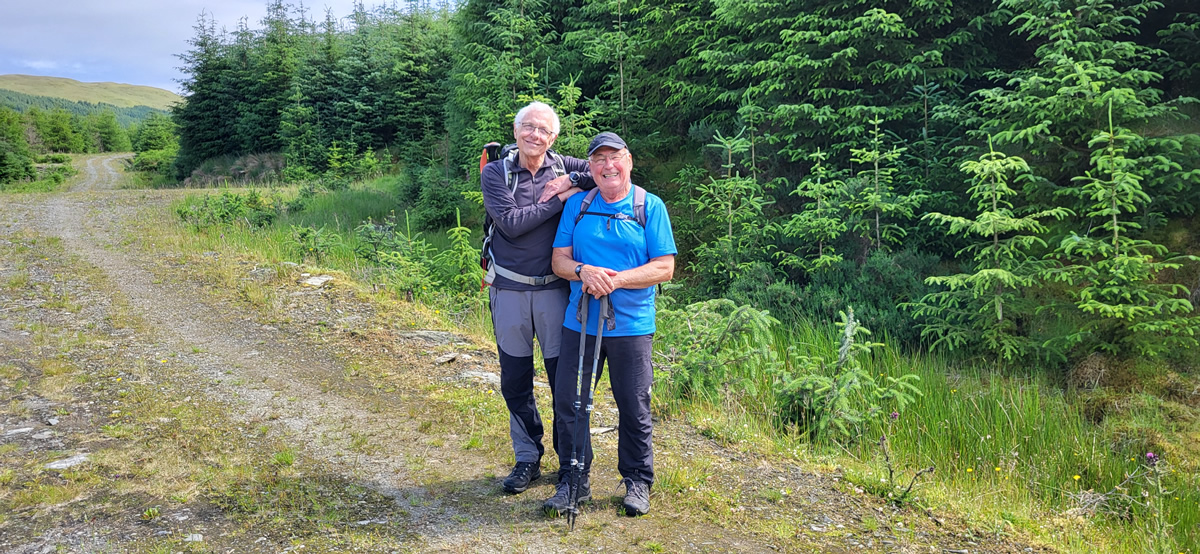
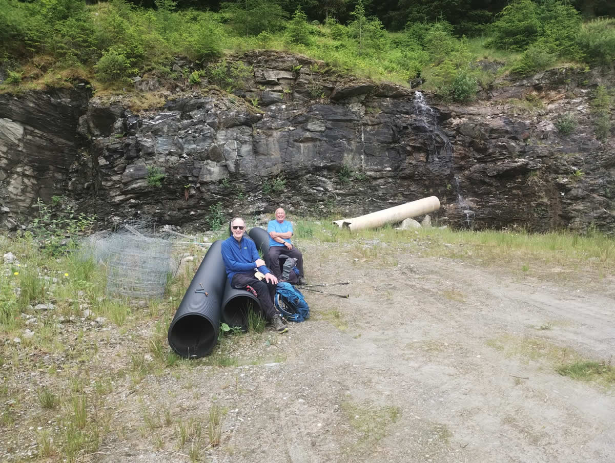
Beyond the forest boundary the good track continues, passing Succoth Farm and drawing nearer to the waters of the River Cur, until it eventually comes alongside the river, at which point a few well chosen boulders provided a resting place for a short break to enjoy the peacefulness of our surroundings. Onwards once again, and we re-entered the forest, passing the dilapidated buildings of the long abandoned Upper Succoth for the steady uphill climb on the forest track towards Bealach an Tuim Fhinn. At this point I should clarify, that although I use the description “forest track” this is not a dull, treelined overgrown track with no views or sky above, but rather a full width track with open views across the River Cur and above to the clear blue sky making this a very pleasant and enjoyable area in which to walk.
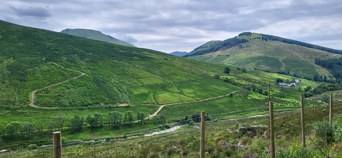
Although OS maps show the area east of the bealach as forested, it is in fact very open, and to our surprise offered the opportunity for some mountain naming, as, to the east the skyline is dotted with a few tops; and so, it was compass and maps out as we identified Ben Donich and Beinn an Lochain in the distance.
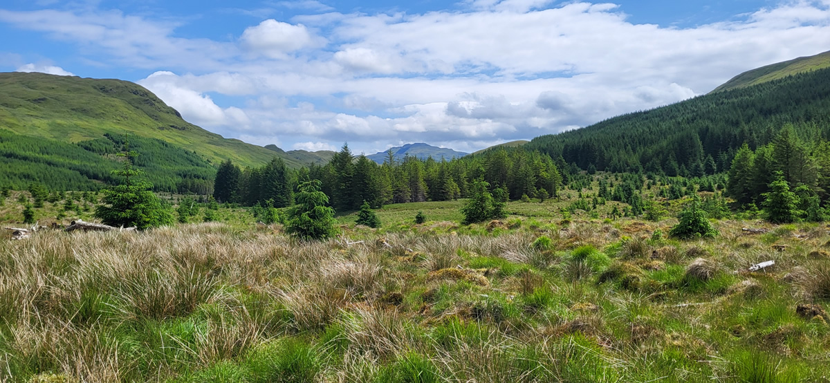
After a very leisurely lunch break at the bealach, we had a short wander around the area to see if there was any possibility of reaching the summit of Cruach nan Capull, a 565 metre to that dominated the hills above the bealach. Not that we intended to climb it today, but with the possibility of a future walk. We did identify two possible routes through firebreaks on the forest which would give us access to the open hillside below the summit of Cruach nan Capull.
Completing the loop around Beallach an Tuim Fhinn the forest track then climbs slightly before starting a long steady descent back towards Strachurmore. A descent of interest as once again various tops continue to show above the nearby hills.
Thanks Mike for a very enjoyable and interesting walk.
Photo Gallery
Click the buttons to select photo size.