Blairdenon Hill Glen Tye(648m)
Saturday 29th June 2024
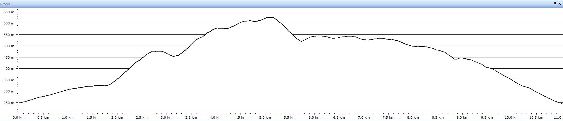
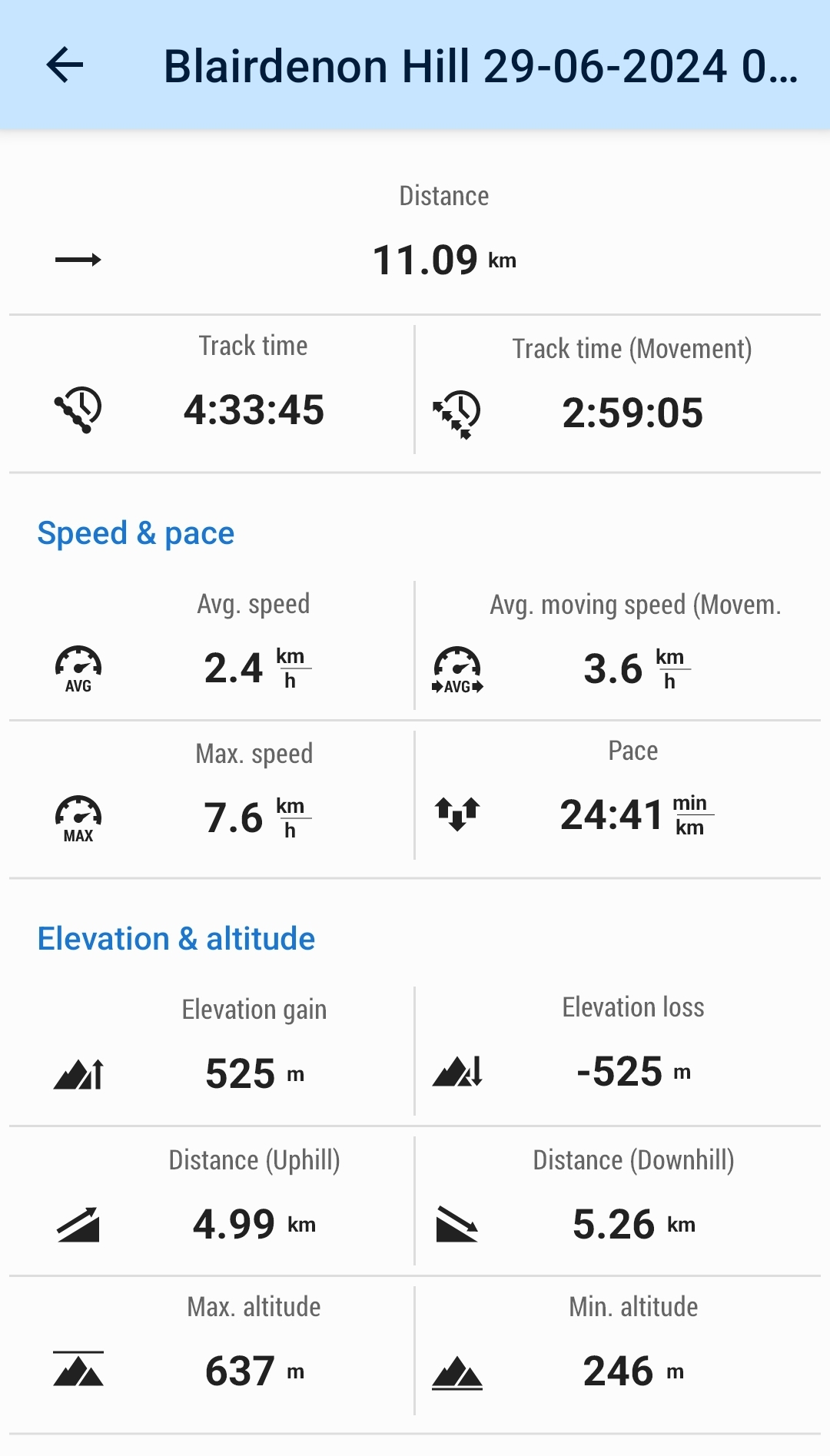
11kms
4hrs 30mins
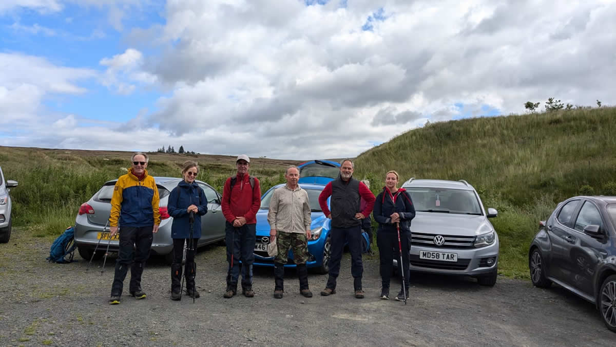
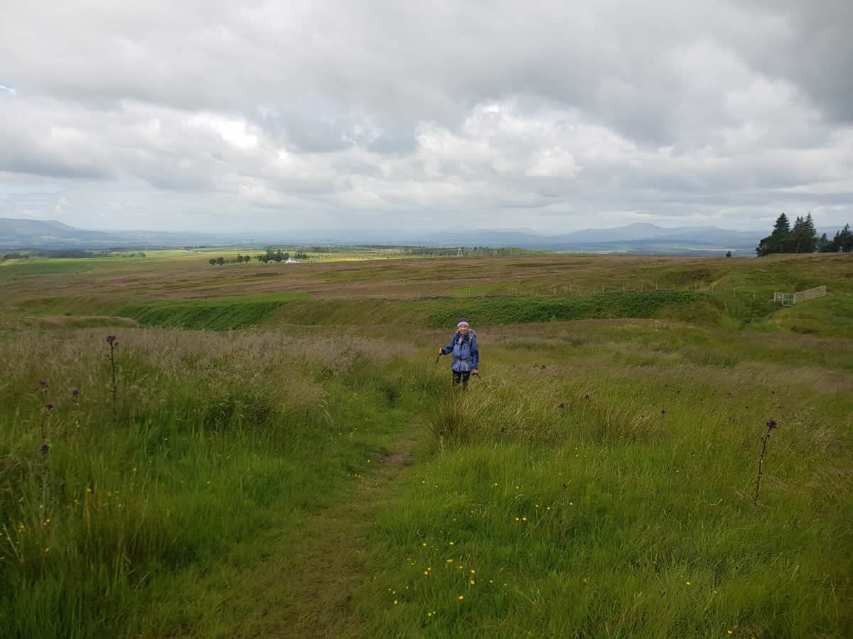
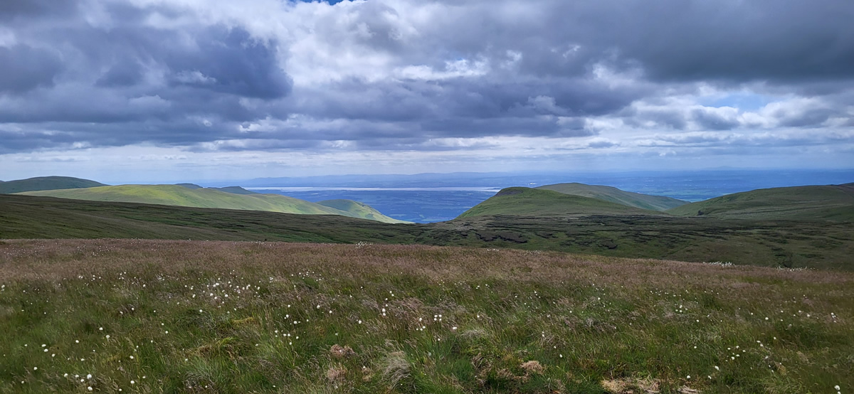
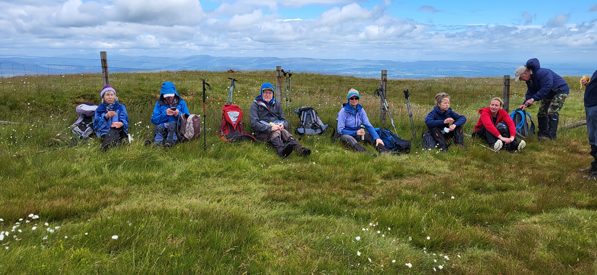
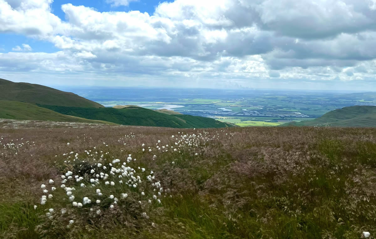
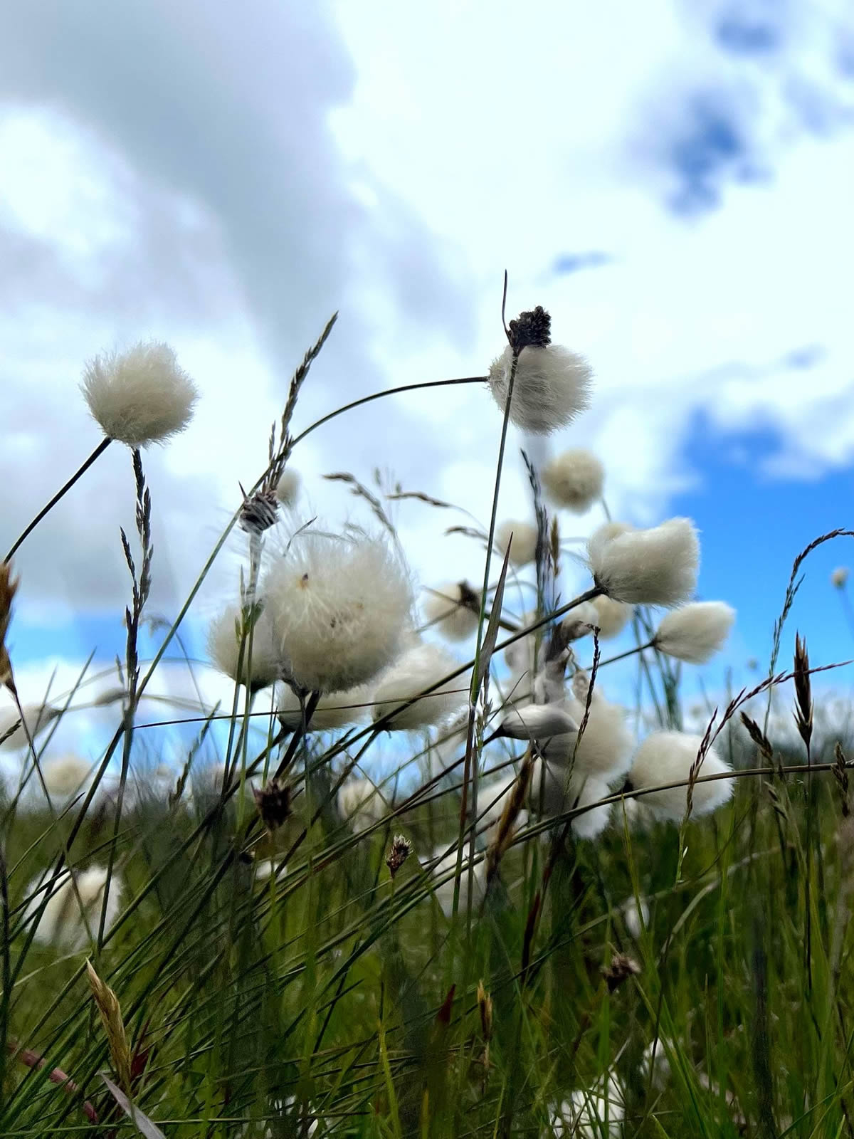
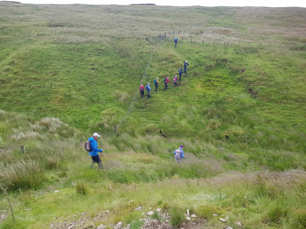
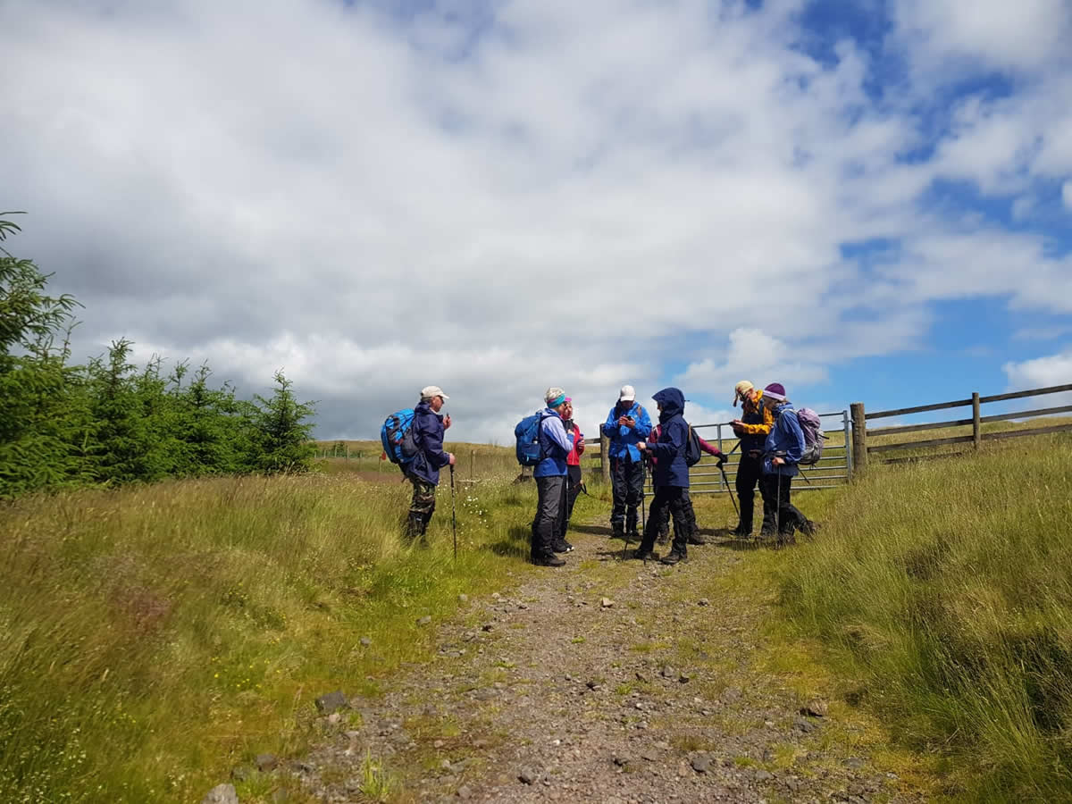
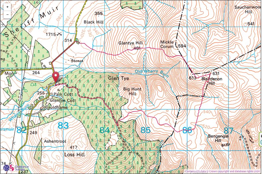
We assembled for this walk at the small parking area on the Wharry Burn just a few hundred metres south of the now closed Sheriffmuir Inn before walking up the road, passing the old inn to a small copse of trees through which we walked to gain the grassy lower slopes of Glentye Hill, the first of three named minor tops we would cross before summiting on Blairdenon Hill. A faint ATV track has flattened the rough grass without actually breaking through to disturb the soil underneath so making for pleasant walking on mostly dry ground. A slight pause on the 481 metre top of Glentye Hill to take in the views south over Glen Tye toward Alloa and the River Forth.
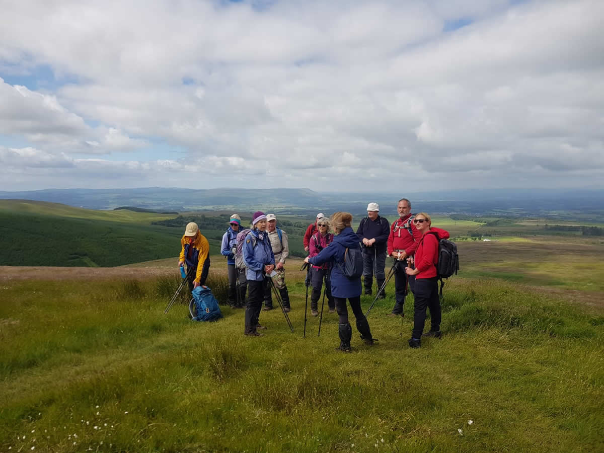
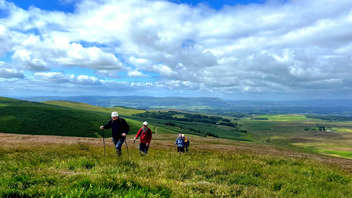
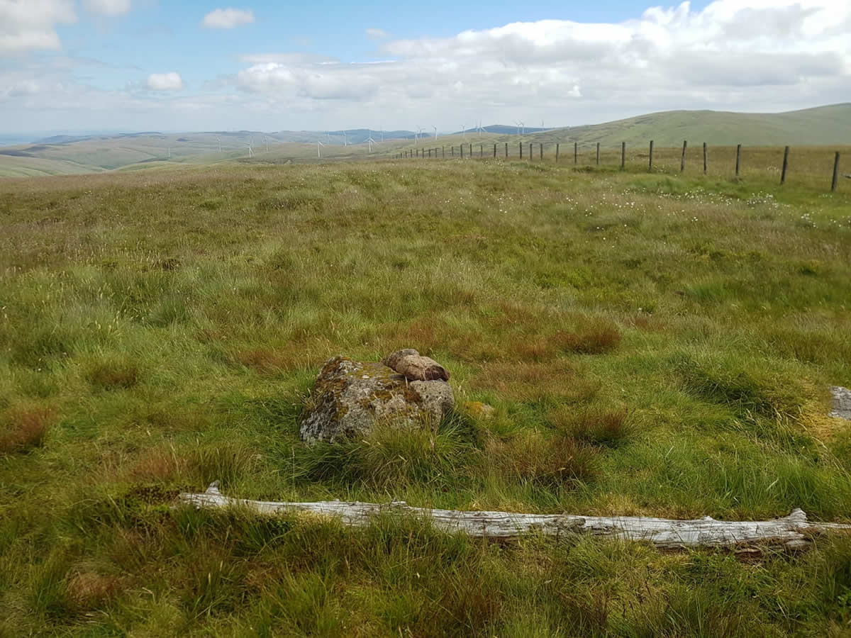
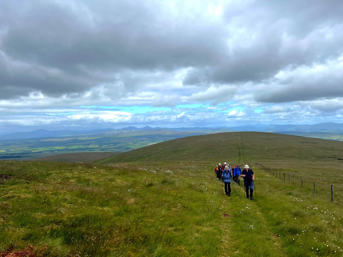
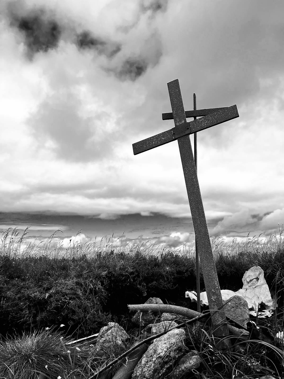
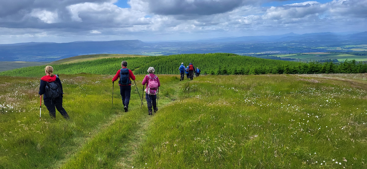
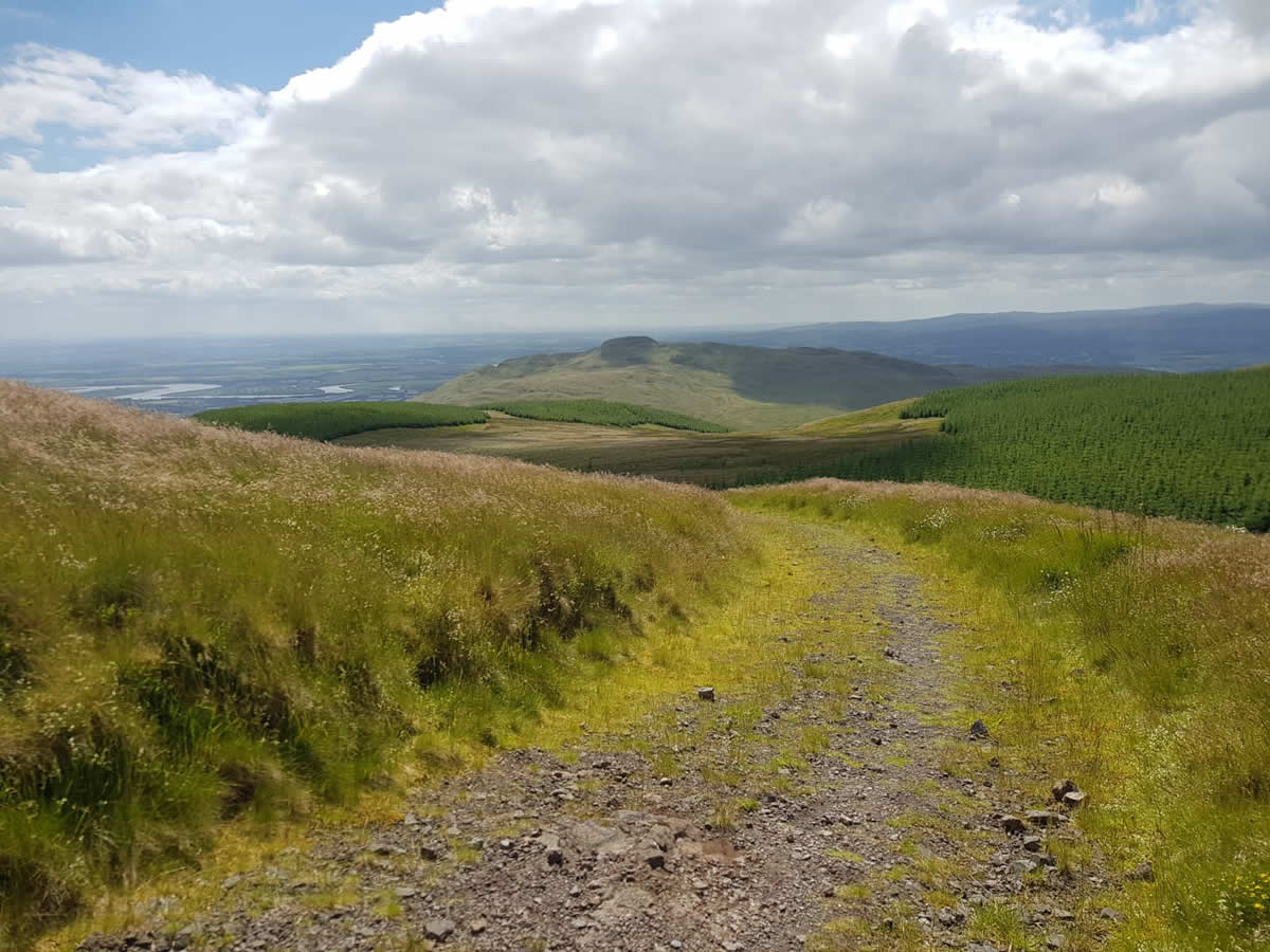
Still climbing at a steady pace, we set off towards the broad top of Mickle Corum the actual top of which we bypassed as we contoured south of the summit to pick up the fence line which headed directly towards the third named top, Greenforet Hill, at 613 metres yet another fine grassy top with wonderful views of the neighbouring Ochil tops. From here, Blairdenon Hill was a mere 400 metres away, still guided by the fence line along which we walked to the small Memorial Cross which lies just short of Blairdenon Hill summit and marks the spot where a Tiger Moth aircraft crashed in 1952 killing the pilot. (See my note at the end of this report for further details). A few steps beyond the crash site we reached the high point for today, the 631 metre summit of Blairdenon Hill.
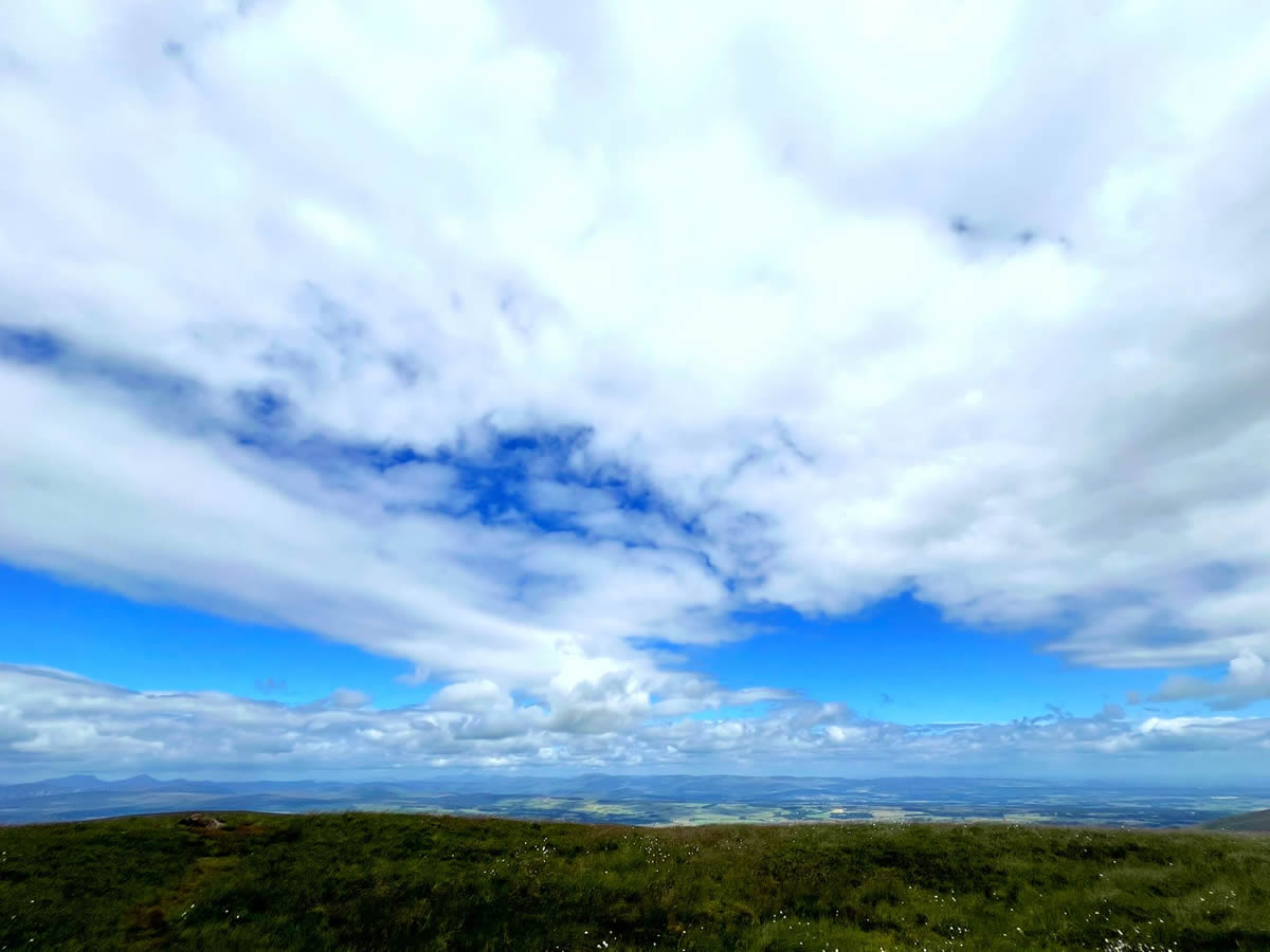
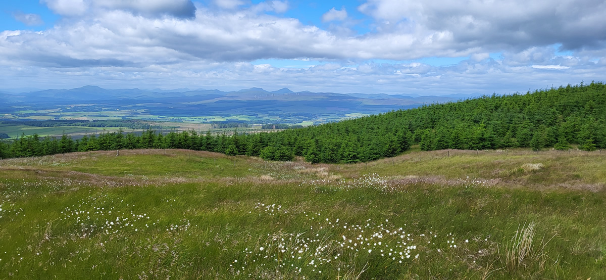
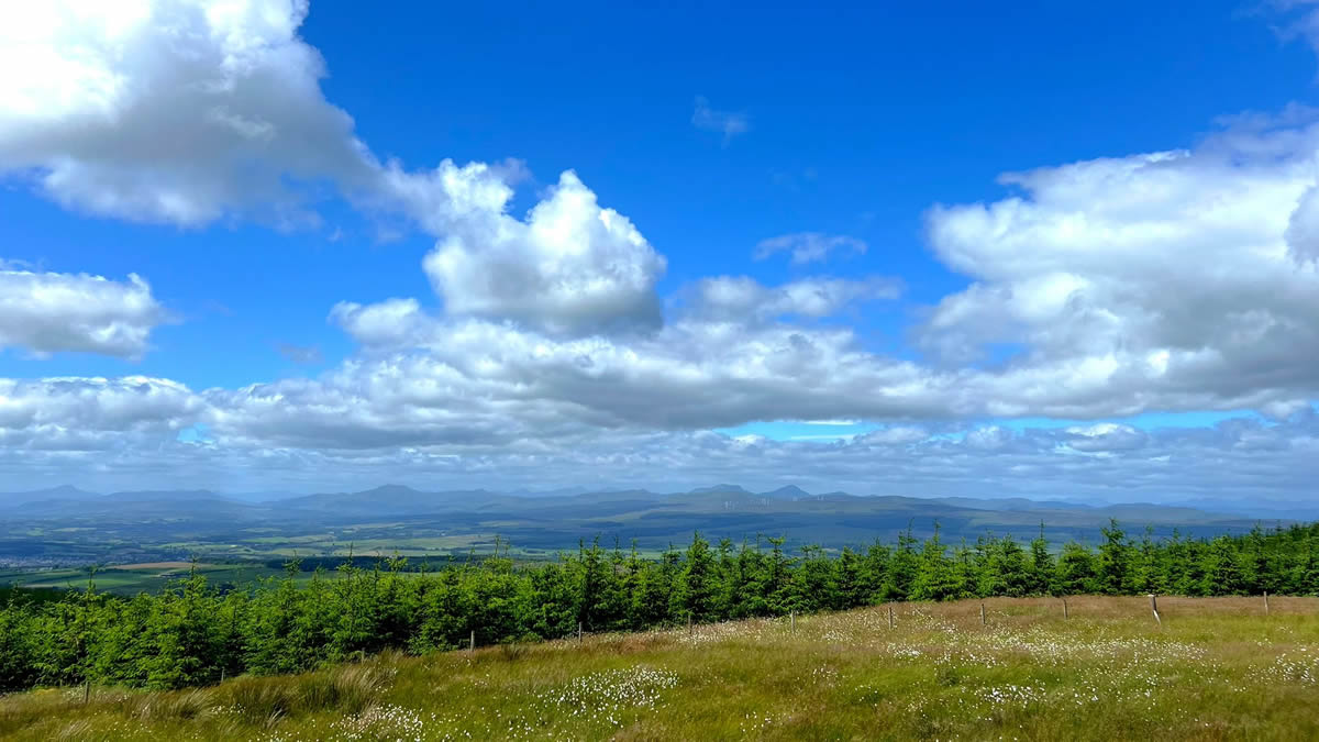
The photos accompanying my report show a lovely blue sky and fluffy clouds, what they do not show is just how cool it was considering this was the last day of June. Right from the off in the car park we had felt the chill of the breeze and cold air, and it was no different on the summit as we hunkered down for a short break and just to gather ourselves for the return leg of what was turning into a very fine walk on these open grassy hills.
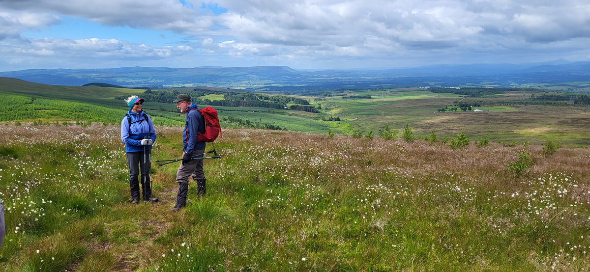
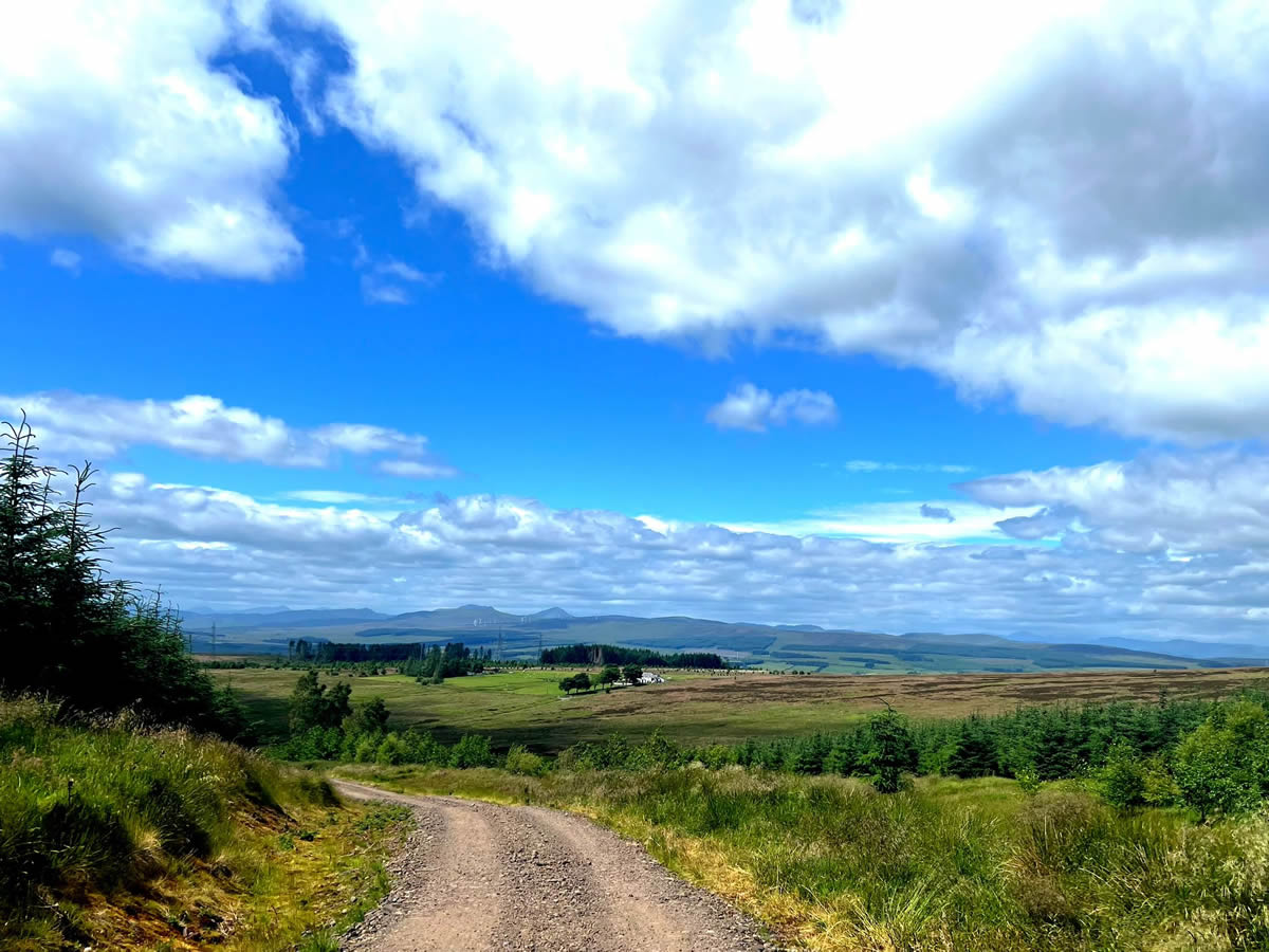
Our return took us south from Blairdenon Hill, downhill and across the narrow head of Glen Tye before a short climb and wander over Menstrie Moss, and, as the name implies, it was no surprise that this area was a little wet underfoot, but nothing of great note. Turning west beyond Menstrie Moss we stayed to the high ground as the faint path wound its way across the open hillside towards a well defined forest boundary which once through the gate we would leave the grassy moorlands behind and follow a fine forest track downhill for out return to the start point and the end of yet another very fine day in the Ochils.
Thanks Trish, thoroughly enjoyed the day. John
Note: According to The Aviation Safety Network the aircraft involved had quite a chequered career. It was first registered as an RAF aircraft at RAF Cowley near Oxford in 1940, but was soon shipped to Australia where it was operational in a Flying Training Role until 1946 when it was sold for the princely sum of £30 to a K.Vine from Perth, Australia. In 1947, it was sold and brought back to the UK and eventually ended up at Strathtay Aero Club, Scone Airfield, Perth, Scotland.
It was being flown from Perth on the day of the fatal crash, the 30th August 1957 and the pilot, AJ Cuthbertson was killed.
Photo Gallery
Click the buttons to select photo size.