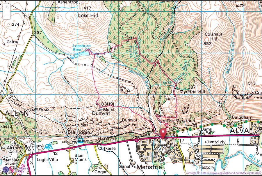
Dumyat(418m)
Sunday 27th August 2024
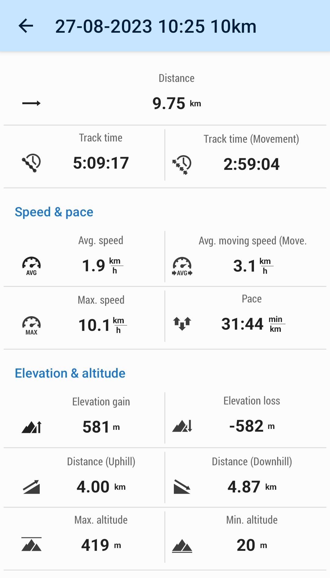
10kms
5hrs
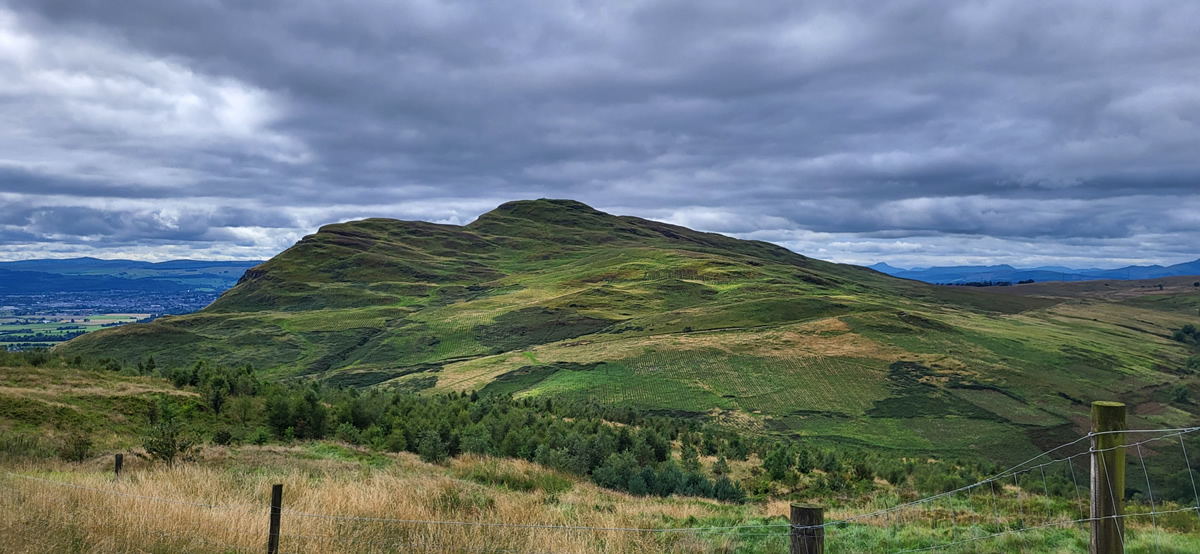
Dumyat sits at the western end of the Ochil Hills and offers some wonderful views from a relatively lowly height of 418 metres. Relatively low it may be, but climbing it still requires a little effort on the short, but quite steep ascent from Menstie, the village that sits below the south crags of Dumyat. Leaving the Menstrie Community Centre car park, the legs have hardly got going before you leave the small cottages behind and take to a very narrow path which winds uphill through the ferns, shrubs and scattered woodland trees rising above Menstrie Glen, the glen itself and the Menstrie Burn both well hidden under the canopy of thicker trees lining both sides of the glen.
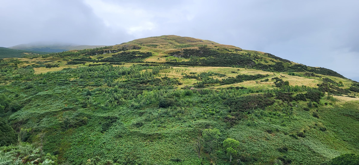
The exit from the wooded area is quite sudden, as you step out onto a good farm track with open hillside beyond, this being the broad, and rather undefined south east ridge of Dumyat. Any fleeting thoughts that the farm track would offer easier walking to the summit are quickly dispelled as you take no more that a few steps, pass through a gate in the deer fence and then take immediately to the open hillside. Albeit this time without the ferns, shrubs or trees, just a fine grassy track, slightly less steep than the woodland section making progress somewhat easier and more relaxed.
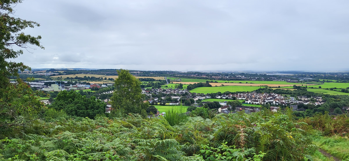
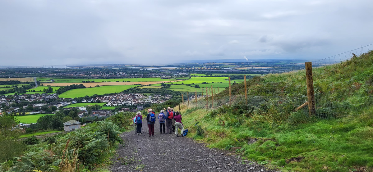
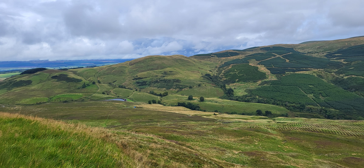
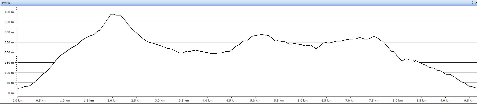
As you gain height, it’s important to remember to look behind as this is where the views are opening up south towards the twisting River Forth and beyond to the bridges spanning the river further down towards Queensferry, although today we could just make out the high uprights of the newer road bridge, low cloud and a heavy moisture laden air obscuring distant views.
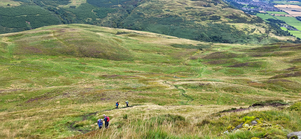
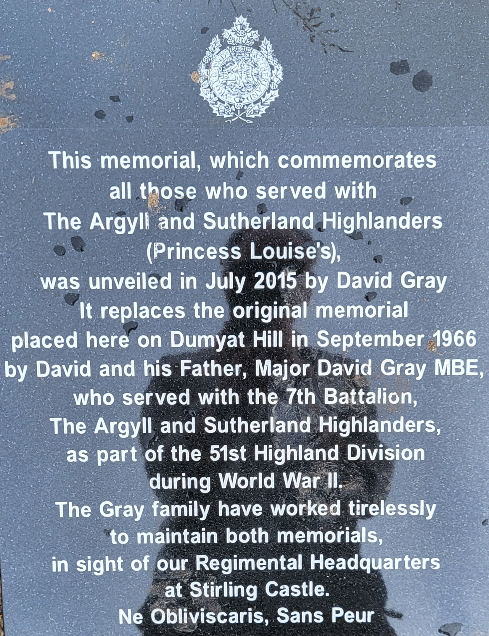
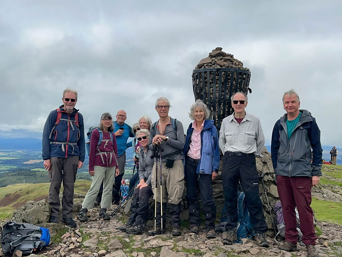
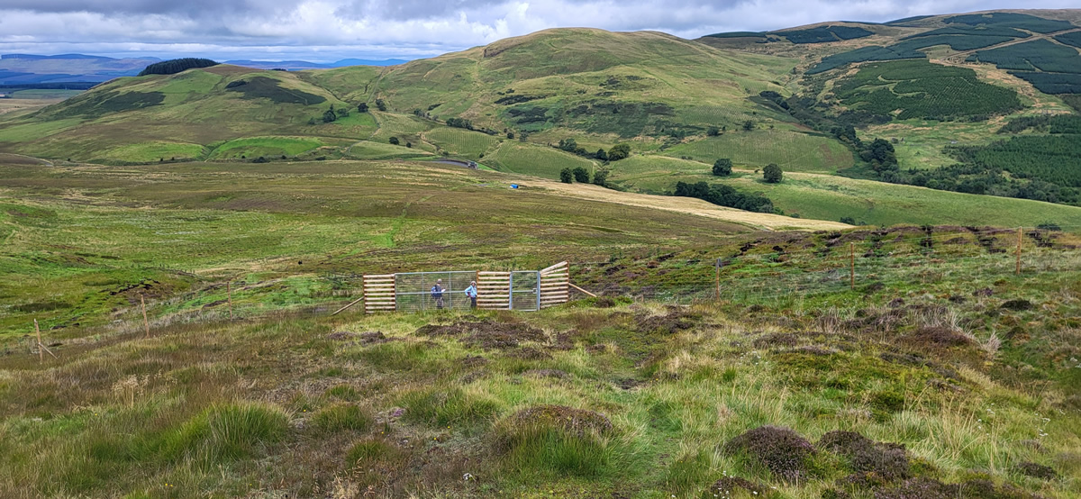
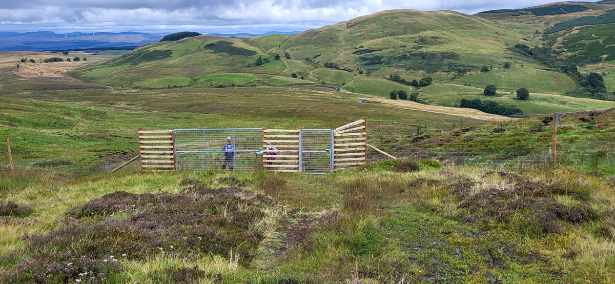
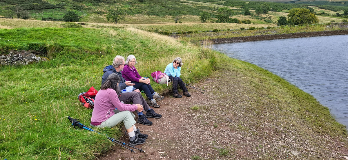
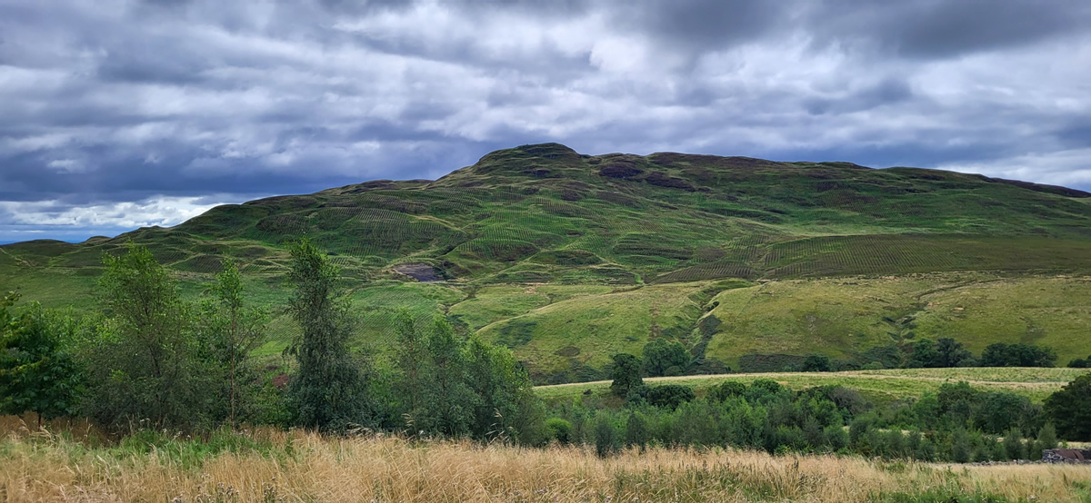
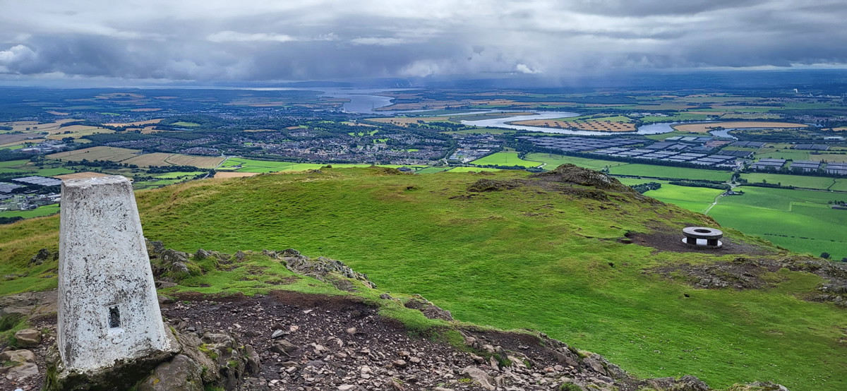
As the summit of Dumyat comes into view, there is a last, short rocky section to navigate through and then the flat summit area lies ahead. For a small hill top Dumyat boasts four structures of note: it still has a full size Triangulation Point, a Beacon Basket from Queen Elizabeth II Silver Jubilee, and two memorial stones, one that is in memory of all those who have served in the Argyll and Sutherland Highlanders, but mentions especially those soldiers who formed part of the 51st Highland Division, the lesser known element of the British Expeditionary Force who were under the command of the French Third Army and so did not make the retreat to Dunkirk and the evacuation in June 1940, but rather fought on a little longer until the French surrendered in late June. More than 11,000 men from the 51st Highland Division were captured and spent the remainder of the war as POWs. The second memorial stone, a rather grand looking circular block, which I did not visit this time, but if memory serves me correctly, is dedicated to a professor from Stirling University. I tried Googling it but surprisingly enough these days, I could find no reference to it! We departed the summit heading generally north down gentle grassy slopes towards the new deer fence and through one of the largest gate structures I have seen in any deer fence and onwards at an easy pace to Lossburn Reservoir where we found a pleasant spot for our lunch break.
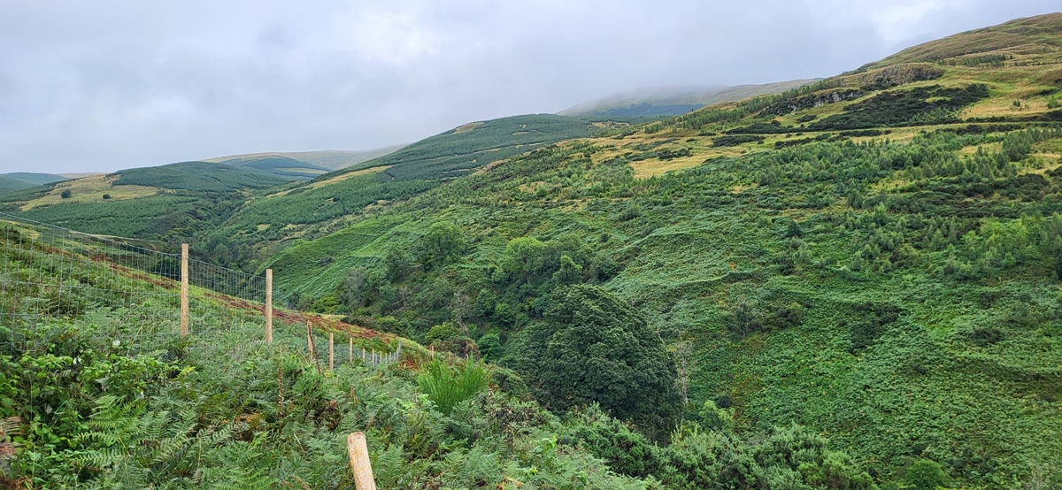
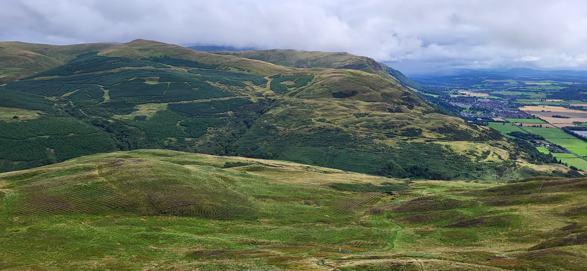
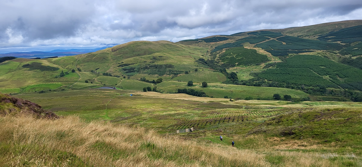
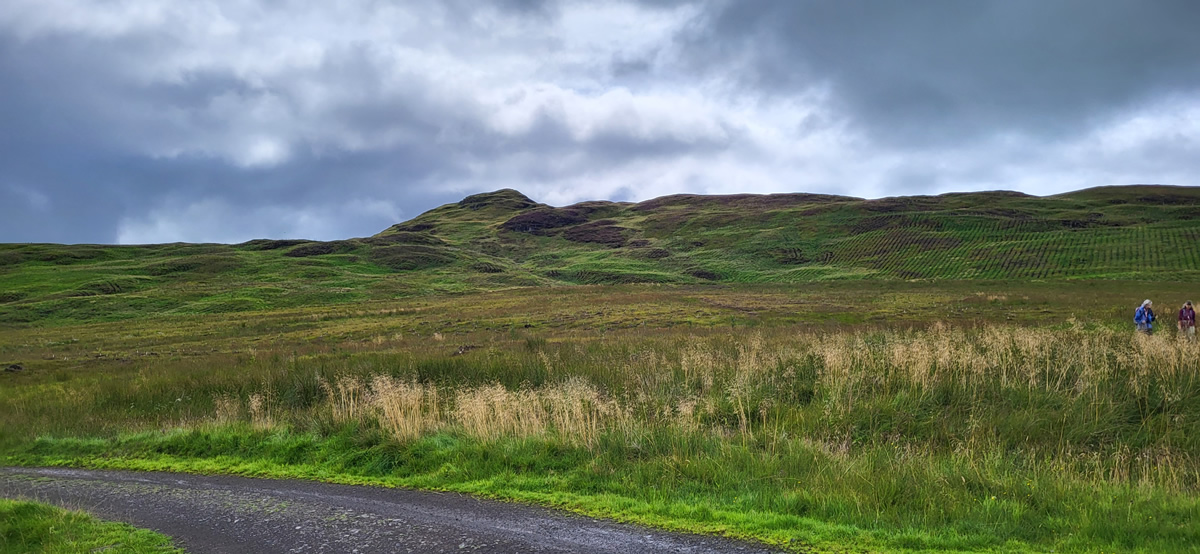
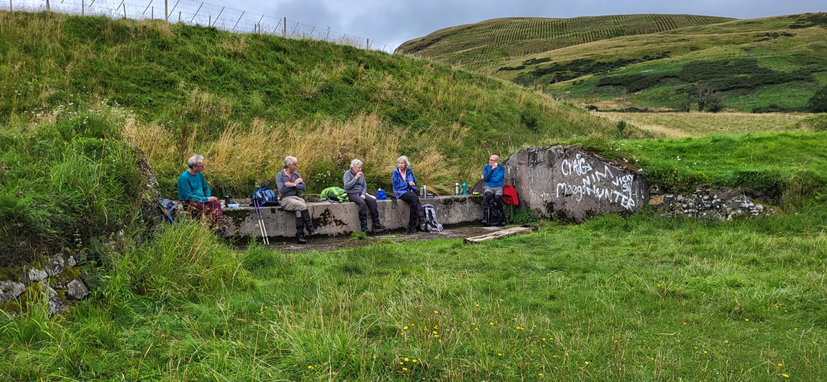
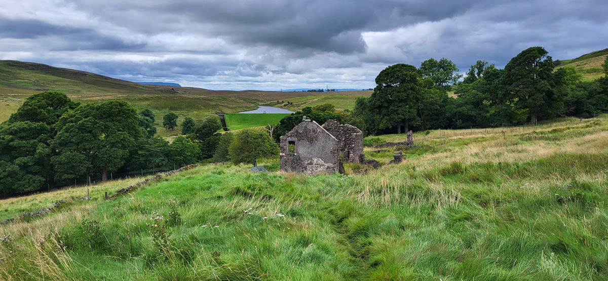
Our return route was considerably different to that which brought us to Lossburn Reservoir as we initially trod through the overgrown pastures of bygone farms and homesteads, the area at the head of Menstrie Glen having been farmed since the late 15th century right up until the introduction of forestry plantations in the mid 20th century. One such ruin at which we stopped, the farmhouse at Jerah holds a dark secret of a rather horrific suicide by the shepherd in full view of his wife, family and the local doctor, a tale which David related to us as we stood among the ruins. I may be wrong, but I am sure I detected a slight quickening of our pace as we left the scene of this macabre event and headed into the woodlands which have replaced the pastures along the hillside and joined the forestry track on the eastern side of Menstrie Glen in an area known as Red Brae. This fine track twists, turns, rises and falls as it traverses the hillside above the glen crossing in turn three burns named, Third Inchna Burn, Second Inchna Burn and First Inchna Burn.
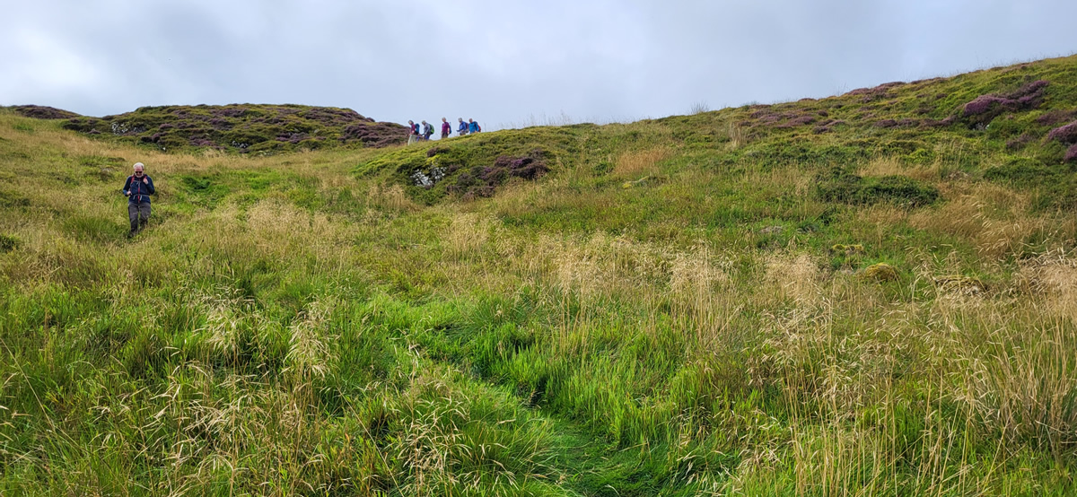
Below Myreton Hill we left the main track and took to a narrow path and once again through fern and shrubland, skirting below Myreton Hill and eventually re-joining the forest track for the final descent back into Menstie.
This was a wonderful walk with plenty of variation in the scenery, tracks and history of the hillsides of the western Ochil Hills.
Thanks David and all who made it a brilliant day.
Photo Gallery
Click the buttons to select photo size.