Ben Chonzie(931m)
Saturday 28th July 2012
14kms
5hrs 30mins
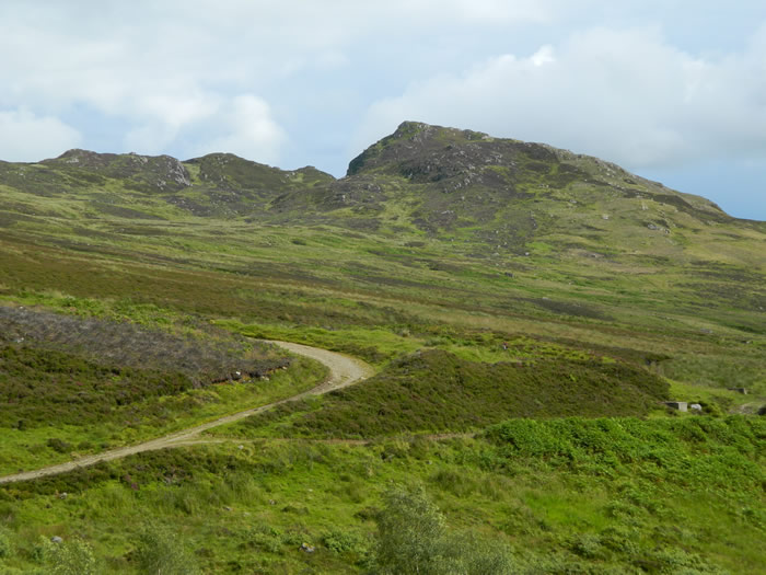
Turning off the A85, the 5 mile drive from Comrie along Glen Lednock to the start of this walk wets the appetite for the walk ahead as you drive through woodlands and passed some rugged and rocky crags. The parking area was already full as we arrived and we were relegated to a parking on the grass verges.
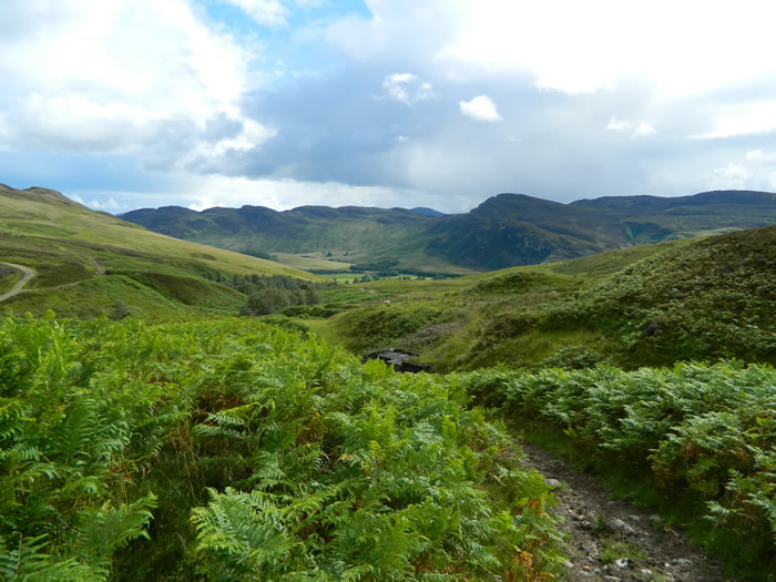
The route quickly skirts around the houses at Coishavachan and then crosses the Invergeldie Burn to follow it on the west bank until the dam is reached. We crossed the dry bed of the burn below the dam, I guess this point may occasionally require crossing a flowing burn depending on water levels in the dam.
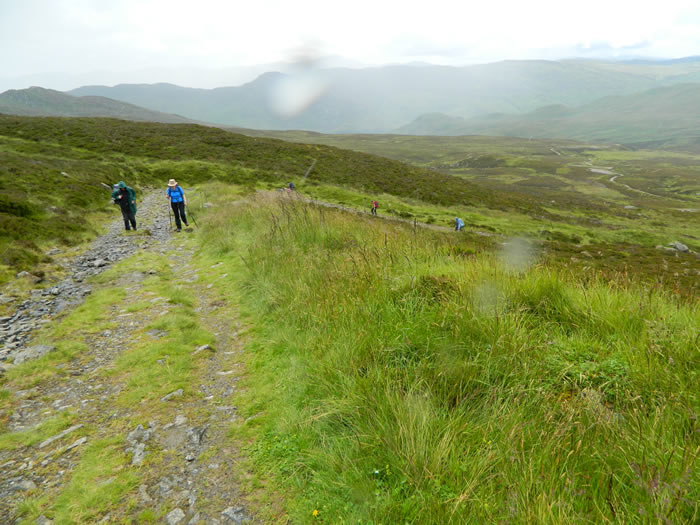
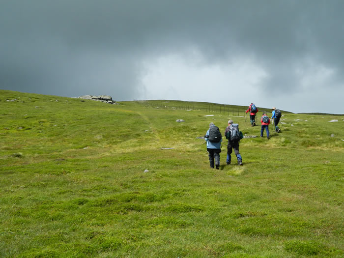
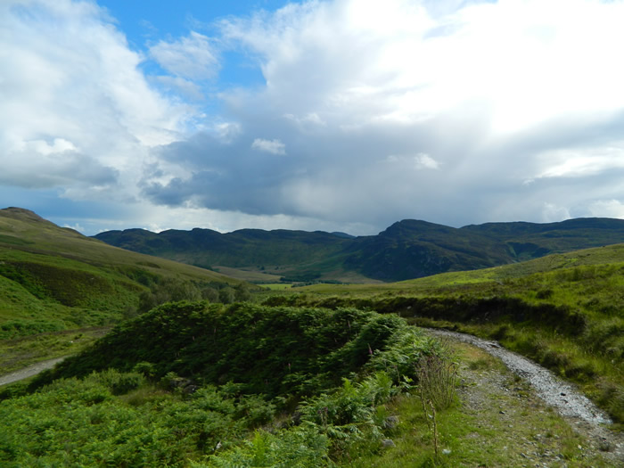
A broad, stoney track now winds its way uphill following the line of a small burn in a gully to your left. As Munros go, the climb is relatively easy and the path takes you nicely to around 750m altitude before you reach a small cairn which marks the end of the track.
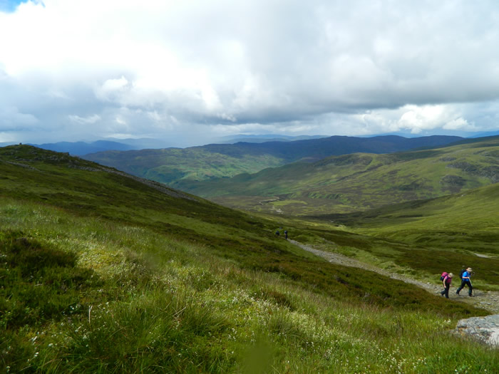
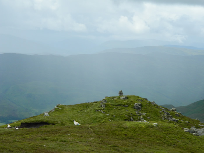
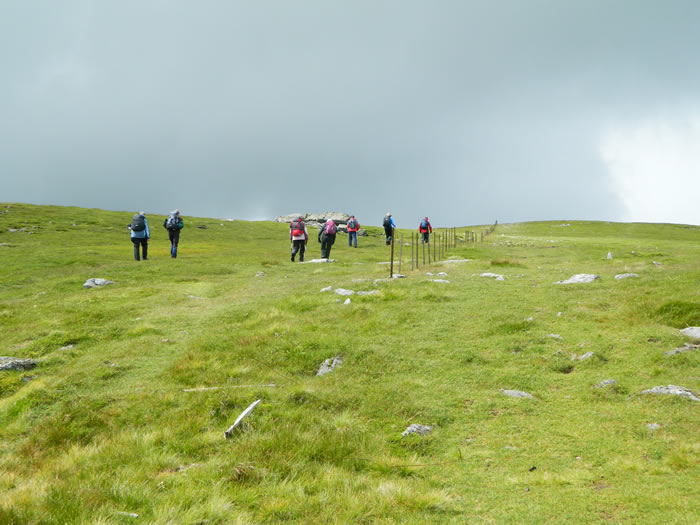
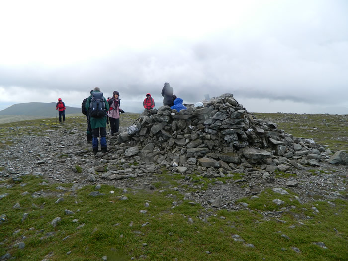
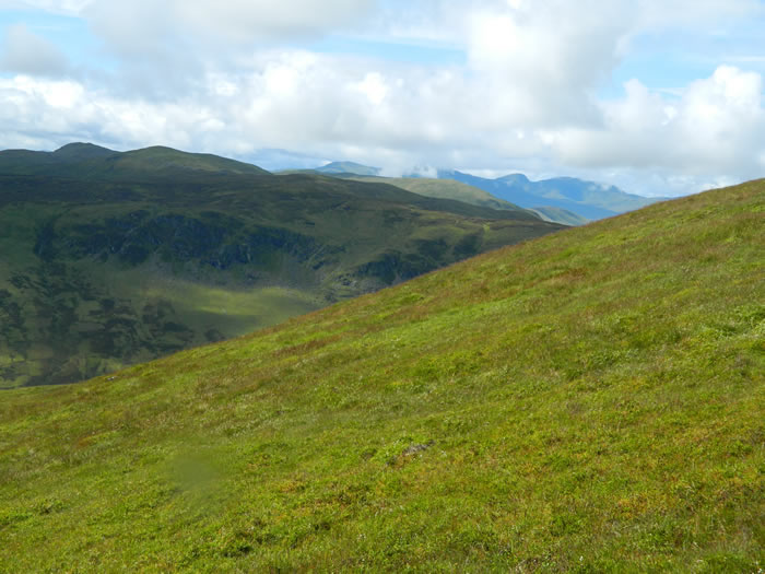
From here, the route heads generally NE over a grassy rise to pick up a broken fenceline on the broad ridge ahead. Once the fenceline is reached, its a matter of following it NW and then turning through 90 degrees and continuing to follow the fenceline, now running NE for approximately 800m to the summit cairn, which sits on a broad summit plateau.
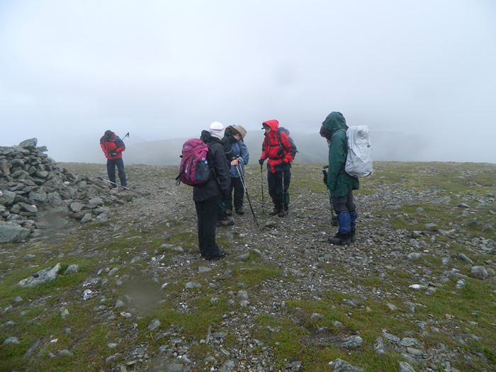
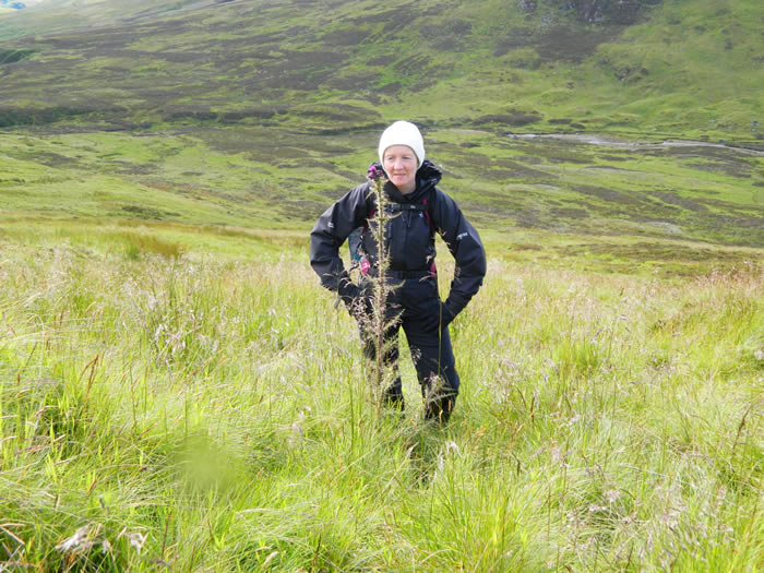
On our way to the summit, the weather had been very changeable, a mixture of warm sunny periods and cooler rainy squall, depending on your judgment you either roughed it out without putting on a waterproof, and got away with a short spell of rain, or gave up and dived into the rucksack for a waterproof, generally after getting a bit of a soaking, it was a day of jackets on - jackets off.
Leaving the summit we retraced our steps back back along the fenceline to just after we had turned the 90 degree corner and then struck off WSW heading directly down towards the Invergeldie Burn aiming to pick up a path on the opposite bank of the burn, shown on the map at NN752295. We hit this point, confirmed by GPS readings, but alas no path existed, only tall reeds and very boggy ground. However, not to be put off, we continued on the west side of the burn along the line where a path should be and returned to the dam and the outbound track. From here we had a leisurely walk back to our cars.
Our drive home was broken by the customary water stop, this time at the Kingshouse on the A84 just south of Balquhidder.
A nice little Munro and pleasant walk - thanks David
Ben Chonzie - Photo Gallery
Click any photo to activate large screen photo gallery