Beinn Chabhair(933m)
Sunday 27th May 2012
15kms
6hrs 15mins
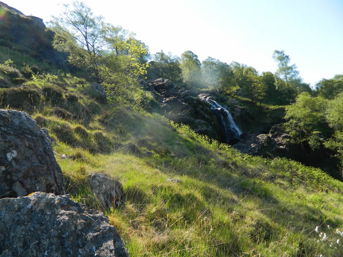
Driving through Inverarnan and admiring the Beinglas waterfall tumbling down the hillside behind the Drovers Inn, I had always thought of the challenge of Beinn Chabhair hidden higher in the hillsides beyond the waterfall. The route is renowned for a long boggy section alongside the Ben Glas Burn from the head of the waterfall until Lochan Beinn Chabhair is reached. So as we were in the middle of a long dry and very hot spell of weather I took the chance that the route may be a bit dryer than normal and decided to give it a go.
The weather forecast was clear blue skies, and temperatures in the high 20's, so I ditched the waterproofs etc and loaded additional fluids into my rucksack and set off on the short drive to Inverarnan and the Drovers Inn car park.
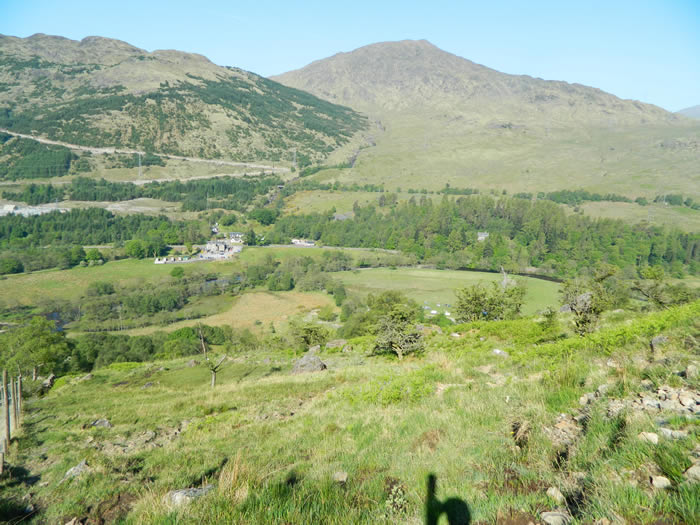
A short walk north along the A82 and then it was over the bridge across the River Falloch and a walk around the perimeter of the Beinglas Campsite to the start of the very steep loose stone path that climbs sharply on the north side of the Beinglas waterfall. The views of the waterfall from the north bank are not as impressive as from the south bank, but crossing from the south bank to the north bank above the falls can be problematic if the water level is high, so the best option is to stick to the north bank.
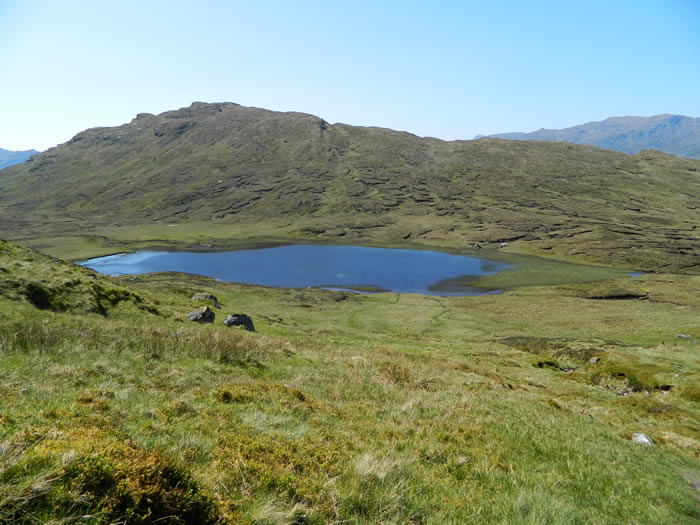
It's a tough climb, and height is soon gained and the views back over the A82 towards the Vorlich hills are a bonus for the hard work getting there. Once above the falls, the path levels considerably and for the next 2kms you follow the line of the Ben Glas Burn to its source at Lochan Beinn Chabhair. It's this section that is reputed to be very boggy, but today, as I had hoped, the long dry spell had completely dried out the peat and it was a hard cracked peat surface that I walked over, not a bit of bog in sight, how lucky is that. The heat was rising, as the day progressed, and I passed a young couple having a welcome dip in one of the clear pools of the burn, I was saving mine for the return trip.
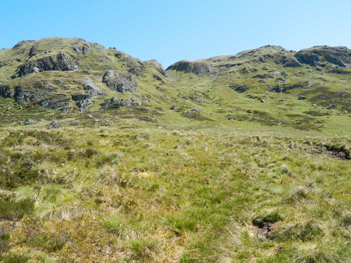
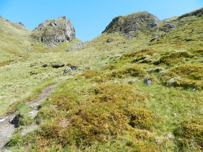
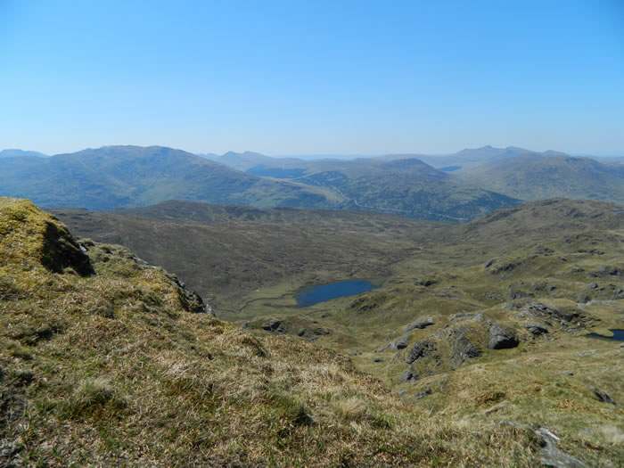
I had a short break just before reaching Lochan Beinn Chabhair and checked my bearings for the approach to the ridge path, although in the clear visibility, I was sure I could just make out a faint outline of the path as it descended from Meall nan Tarmachan and my compass was pointing directly at the outline. So off I set across the short heather slope leading to the base of the path. It turned out to be a narrow, but easily followed path which quickly leads to the lower ridge path, passing an impressive gap between two rock stacks on Meall nan Tarmachan. I met two other walkers just at the top of the path on their descent back to the lochan - they were in need of re-filling their water bottles having used all of their fluids as the heat of the day built up.
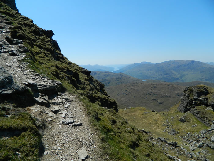
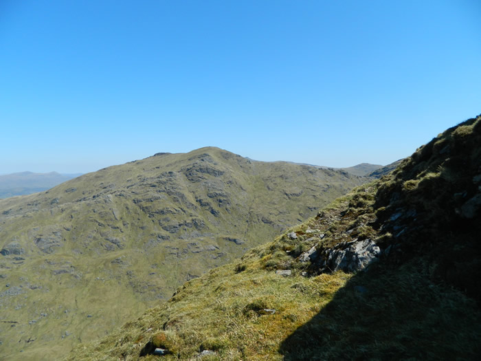
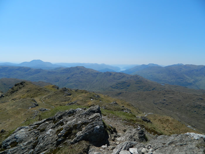
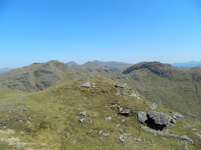
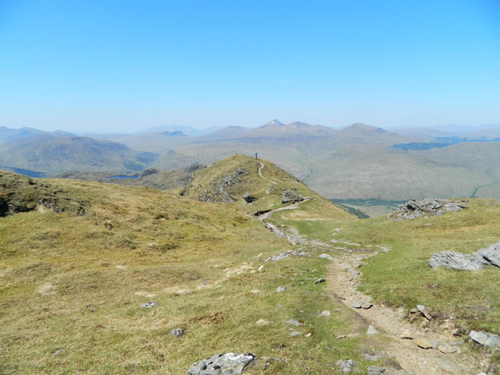
The ridge path proved a real treasure, its a beautiful twisting, turning, up and down roller coaster of a path as it winds around rocky knolls, sometimes clockwise, sometimes anti-clockwise, sometimes climbing, sometimes dropping into a dip before climbing again. The result of this is that you have ever changing views depending on which side of the ridge the path takes. In all the twists and turns, you are never quite sure when the summit will appear, until finally it opens out some 400 metres from the summit on a broad grassy ridge.
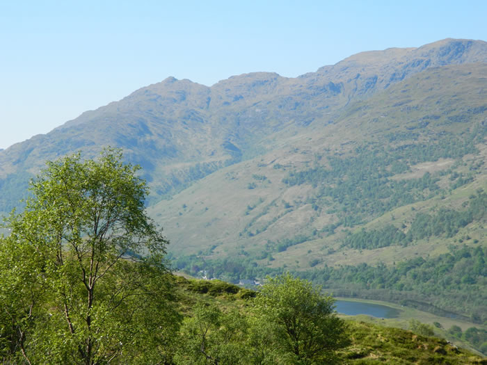
The views from the summit were quite stunning, Ben Lomond and Loch Katrine to the south, An Caisteal and Beinn a'Chroin to the east, the Vorlich hills to the west and the Crianlarich hill to the north. I was joined on the summit by a lad from Edinburgh and the couple who had been having a dip down in the burn. None of us wanted to leave, it was such a great day to be there. But leave we had to, and so I set off on the return walk.
The temperature was well up in the 20s, and possibly the low 30s at times, but my water was lasting well, thanks to the extra litre I had added to my pack. However, I was feeling the heat and was really looking forward to reaching the Ben Glas Burn, and when I did it was a great feeling to get that cool water over my head and arms, although I was glad no one else was around to see my antics as a real bout of cramp hit my left thigh as I bent towards the burn, I was in agony hopping around trying to rid myself of the cramps.
Water splash over and cramps gone, it was off down the track to the steep waterfall descent and back to the car. What a great day I had, it was some time since I had done a solo walk, and although I prefer the company of others on most walks, this was a great solo walk on a great day.
Beinn Chabhair - Photo Gallery
Click any photo to activate large screen photo gallery