An Caisteal(995m) & Beinn A'Chroin(942m)
Sunday 25th March 2012
14kms
8hrs
There was no walk scheduled on our Ramblers group programme for this weekend, and the weather was just too good to miss the opportunity for a walk, so a quick phone call to Lawrie and we arranged to meet on the Sunday morning and take the short drive to Crianlarich and tackle An Caisteal.
We parked up in the large lay by on the A82 just south of Crianlarich and once booted up set off around the farm track to avoid crossing the boggy field towards the sheep-creep under the West Highland Railway. Onwards over the bridge spanning the River Falloch and onto the good track leading towards the lowers slopes of Sron Gharbh. My intention was to bypass the boggy path which leads diagonally to the lower slopes, and go slightly further up the track to the point where those heading for Grey Height and Cruach Ardrain head off to cross the River Falloch.
Here, as we reached the fenceline and gate, we headed directly up the slopes, on a bearing of 202 degrees, which brought us nicely to the ridge path on the nose of Sron Gharbh. The climb up, was steep, but the ground was good with no nasty surprises, and we reach the nose without difficulty and in good time.
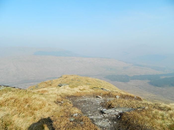
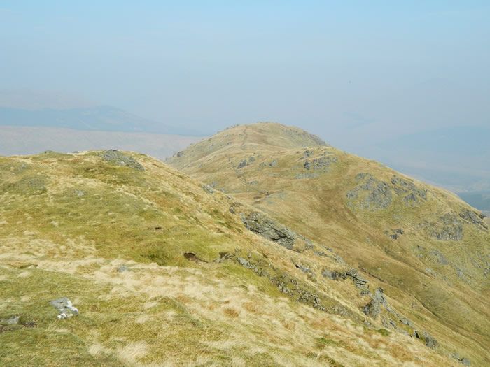
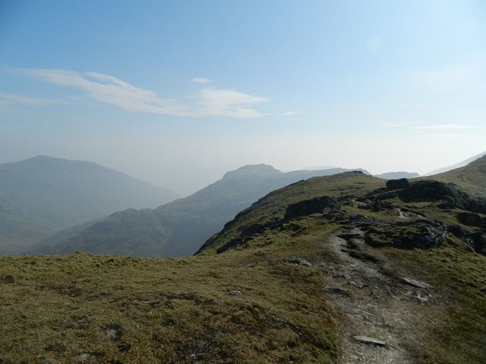
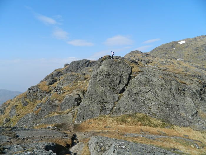
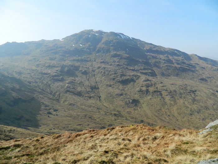
Once on the ridge path, it was a straight forward walk along the ridge, taking in the views which open up as altitude is gained, a slight haze was hanging around which slightly obscured the distant hills. As its name suggests, the path along Twistin Hill has a few twists and turns, and a few rocky sections, one being a cut in the rock which requires a couple of steep steps down into the base and back up again, nothing difficult, but I wonder what it would be like in winter when full of snow.
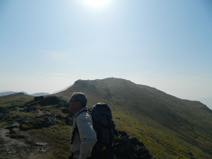
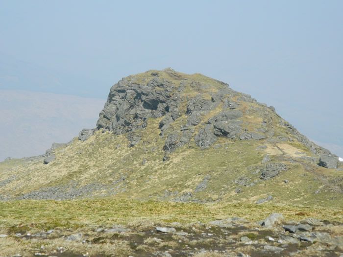
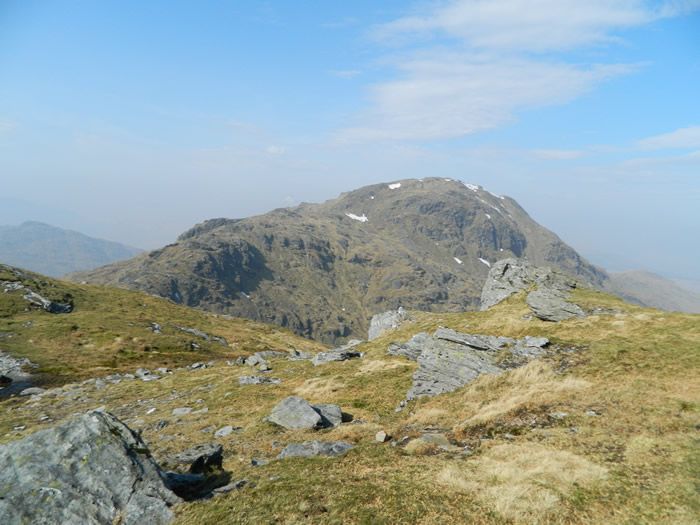
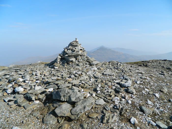
A large rock mound looms before you as you leave Twistin Hill behind, but the path simply skirts around the knoll and suddenly the summit of An Caisteal is there, just short distance ahead. We found a nice spot just south of the summit, and settled down to lunch. When I called Lawrie to arrange this walk, An Caisteal was my objective. However, as we sat in glorious sunshine taking in the views across the bealach towards Beinn a'Chroin it was an easy decision - we would continue onto Beinn a'Chroin and complete the double, returning via the north ridge from a'Chroin and the River Falloch.
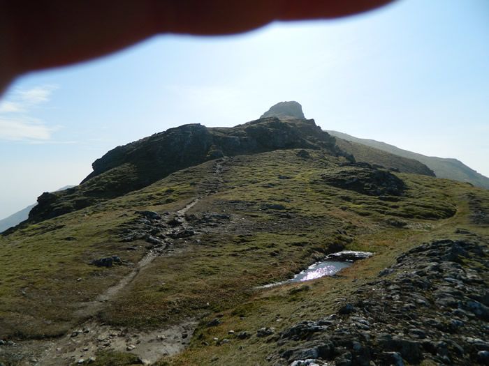
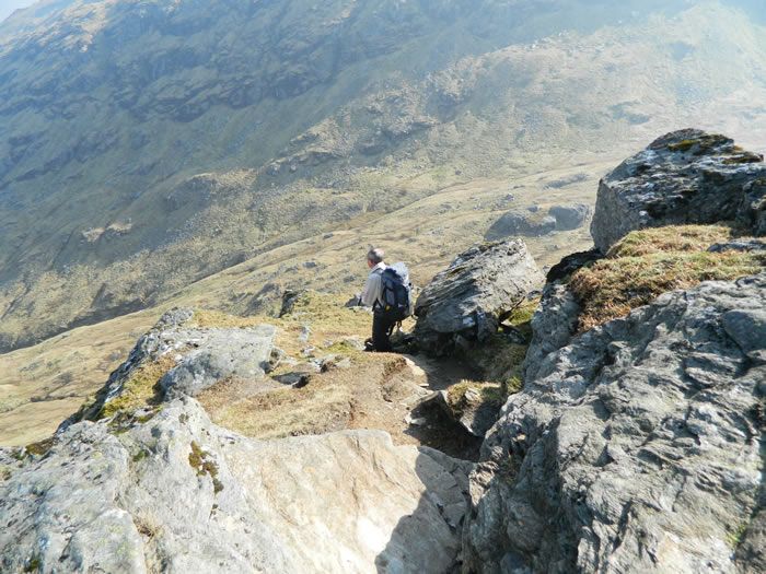
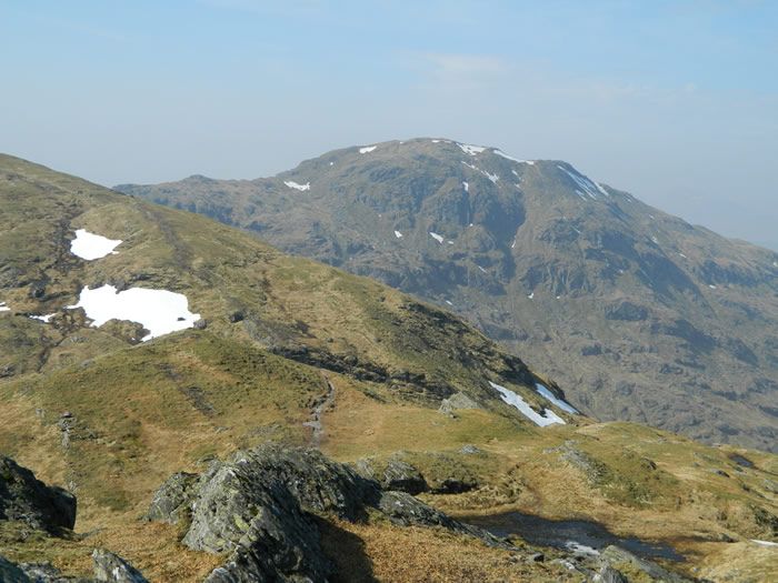
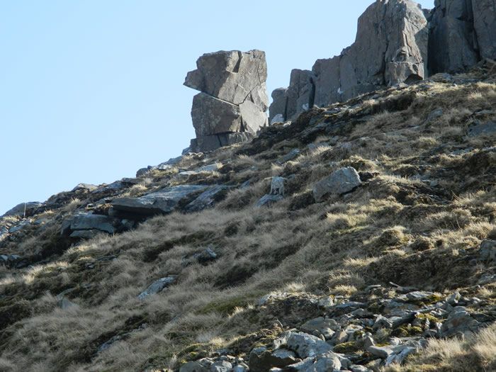
So lunch was shortened to a quick break and we were off down the rocky path towards the Bealach Buidhe. The descent is steep, with a minor bit of scrambling before you reach the bealach at 805m. I was in the process of checking the map to find the scramble up the west slopes of Beinn a'Chroin when we caught sight of two other walkers just starting to scramble up at a point ahead of us. So we simply joined the queue and for a time there was four bodies in a row scrambling up a nice airy ledge.
We topped the scramble and emerged on the flat plateau that holds Beinn a'Chroin's three tops. We made our way over the first, western top, and onto the centre top, the true summit at 942m, before scrambling down and then back up the steep gap that separates the centre and eastern top. As we crossed the gap, we were passed by 3 fell-runners heading towards An Caisteal, some people make it look so easy!
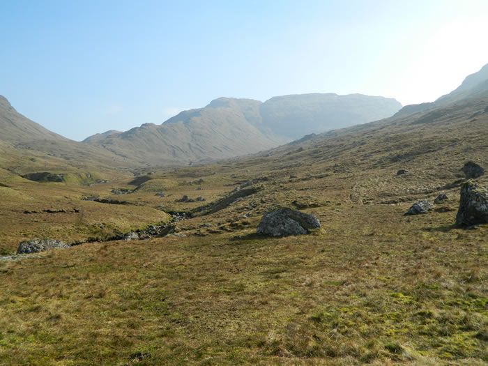
We finished our shortened lunch on the east top, and watched other walkers dropping down the west slopes of Beinn Tulaichean, heading into the glen below, before we ourselves started off down the northern ridge of Beinn a'Chroin heading steeply down the rocky and eroded path to meet the River Falloch below.
The river was easily crossed below the ridge, and then we had a long, and sometimes boggy walk along the west bank of the River Falloch to join the track of our outbound route to cross the footbridge and under the sheep-creep for our return to our car in the lay by.
An excellent walk, in great walking conditions and an unplanned Munro as a bonus. - Great company, thanks Lawrie.
An Caisteal & Beinn A'Chroin - Photo Gallery
Click any photo to activate large screen photo gallery