Harris
Reinigeadal & Ceapabhal Peninsula
Sunday - Monday 4th & 5th May 2014
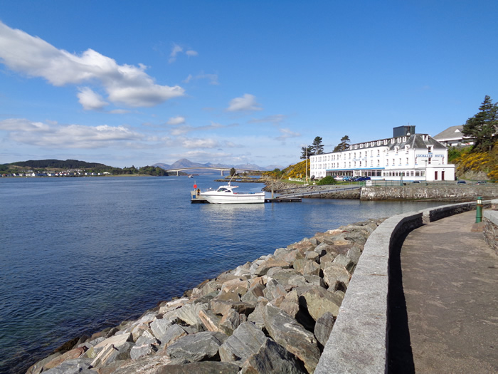
In April, the magazine Travel listed the drive from Glasgow to Skye as one of the top 30 most scenic drives in the world. And here we were, 6 o'clock start from Balloch in brilliant early morning sunshine, with hardly another vehicle on the road and driving alongside Loch Lomond, through Glen Coe, The Great Glen, alongside Loch Cluanie, onwards through Glen Shiel and finally, enjoying a Black Pudding breakfast in Hector's Bothy Cafe in the Kyle of Lochalsh by mid morning. Magic!
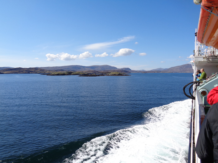
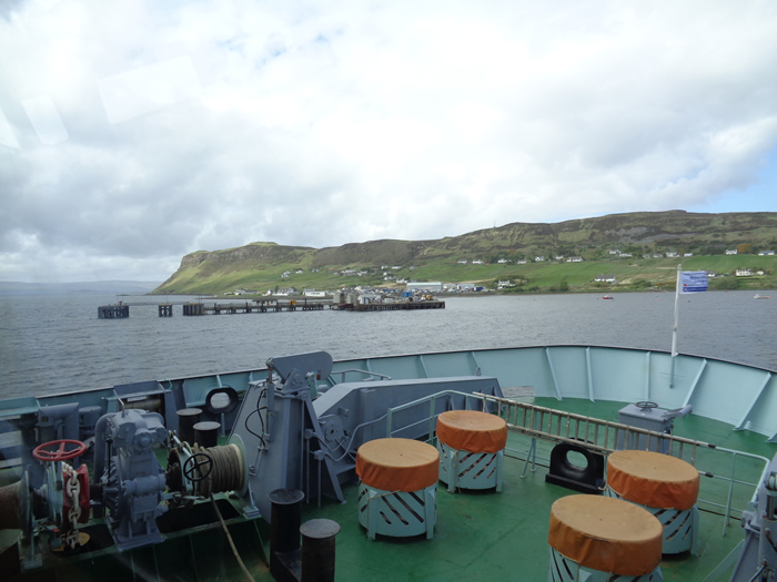
Onwards, over the bridge to Skye and Uig to catch the 14:00 ferry to Tarbert, and the calmest of seas and bright blue skies you could wish for. What a great day.
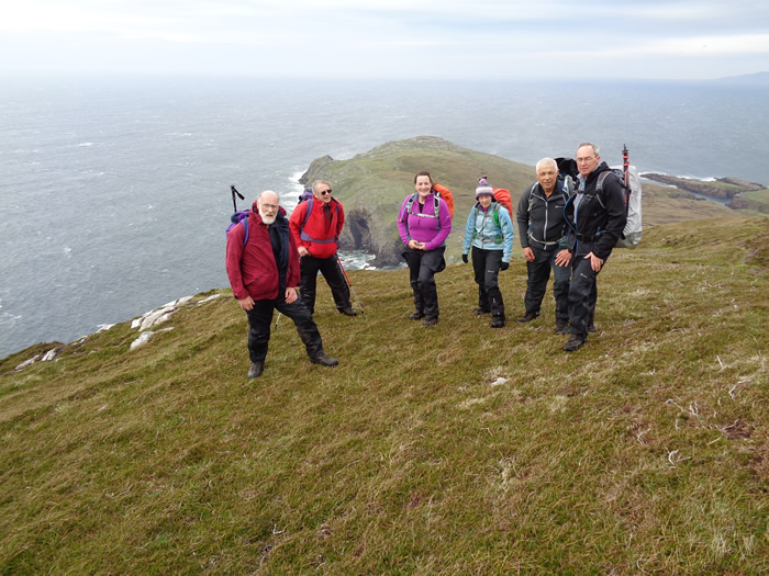
The highest peak on Harris is An Cliseam (Clisham), at 799m, a worthy Corbett. And so that was our primary target and our first walk on the Saturday, the report and pictures you can view by clicking the "Next" button.
For the remainder of our stay, Sunday and Monday's walks were dedicated to two walks whereby the interest was in the history and natural geological features of the area rather than the high hills, the short reports of which are shown on this page, together with a photographic montage of the weekend.
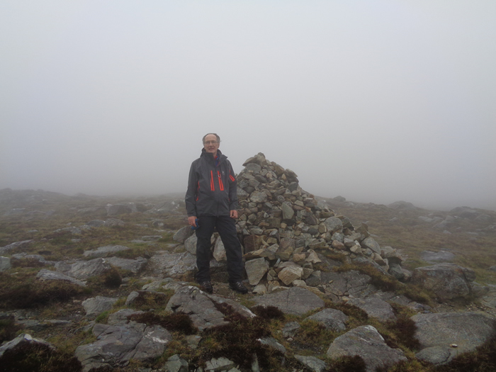
Reinigeadal - Sunday 4th May
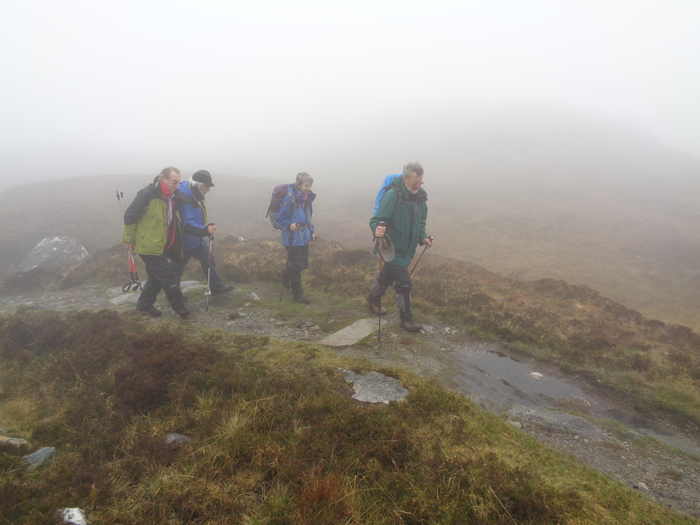
Until 1989 the only way to reach the isolated settlement at Reinigeadal was by boat or by a overland path that crosses a mountain pass before winding its way along the steep mountainous coastline. Supplies, the post, and schoolchildren on their way to school in Tarbert trod this path until, finally, in 1989, a narrow mountainous and twisting single-track road was built connecting Reinigeadal with the main A859 trunk road. Reinigeadal, it is claimed, was the last community to be linked to the UK national road network.
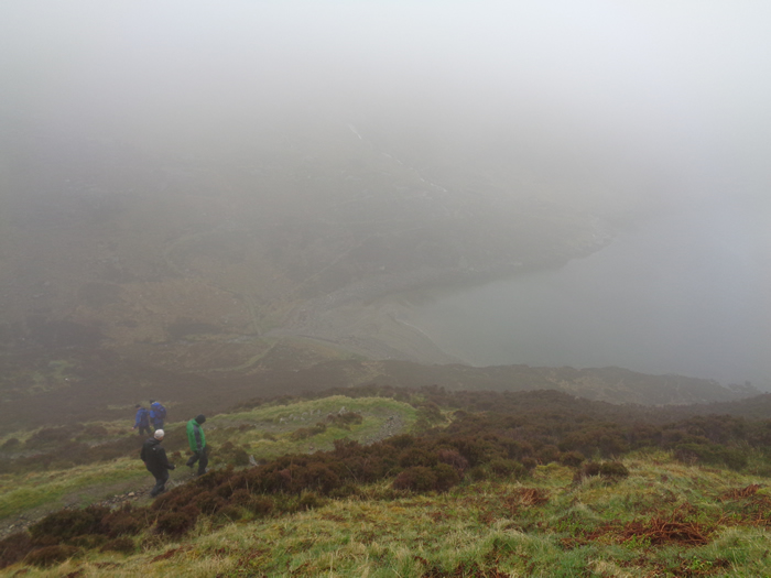
The path is now used mainly by walkers making their way from Tarbert to the Hostel in Reinigeadal but still maintains an air the mystery and hardships of by-gone days, especially when shrouded in thick mist and heavy rain as it was for our walk. It was easy to conjure up thoughts of the lone postman and his bag of mail making this trip three times a week to deliver the mail, or of school children making the weekly walk to Tarbert for school, returning home for the weekend. One report I found also mentioned the transit of coffins over this hillside - I suppose that may well be, making this another one of the many "Coffin Roads" that abound in rural Scotland. A great little walk steeped in local history.
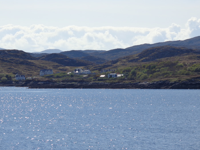
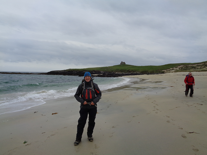
Ceapabhal Peninsula - Monday 5th May
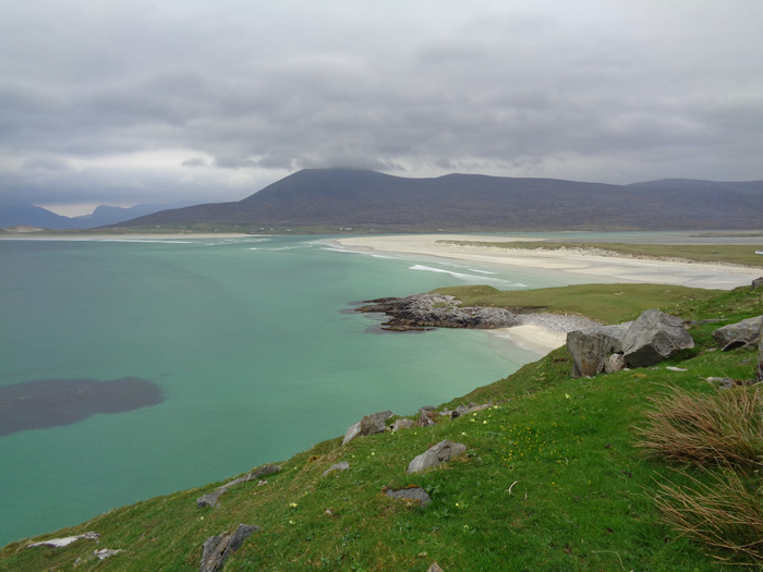
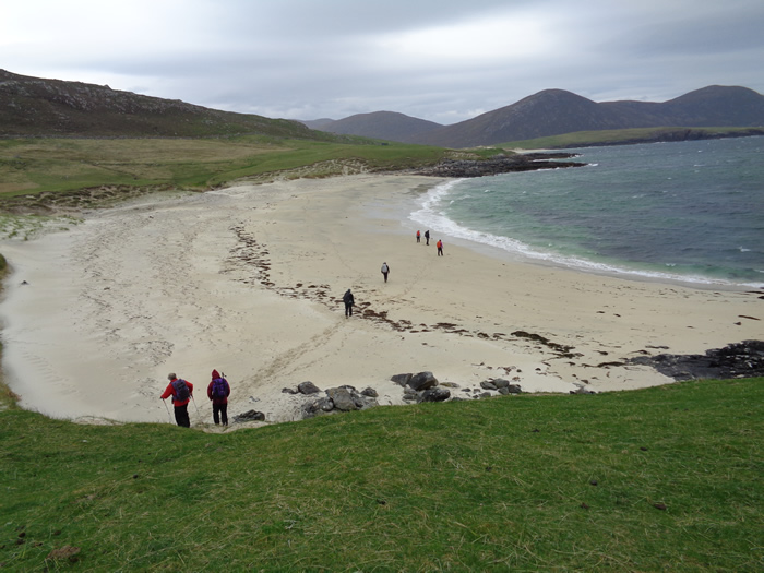
The contrast is startling as you leave Tarbert in the east with its rocky shoreline and hillsides and make the short drive to the western coastline of the island where brilliant white sands abound in the inlets, and the machair (Gaelic - meaning fertile low lying grassy plain) rises above the dunes creating a wide coastal strip around the inlets.
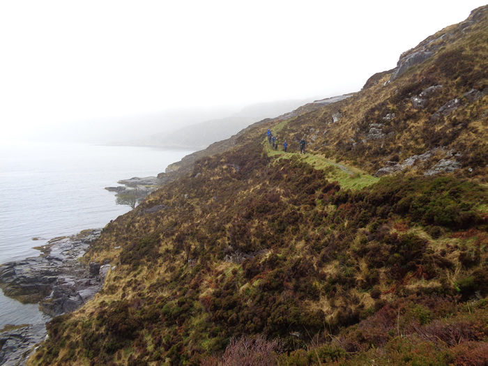
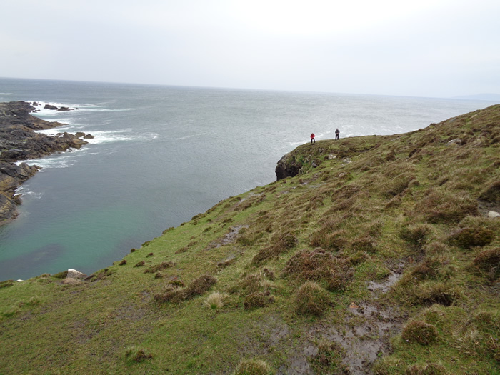
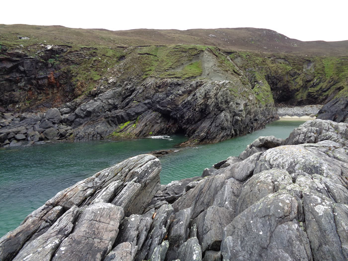
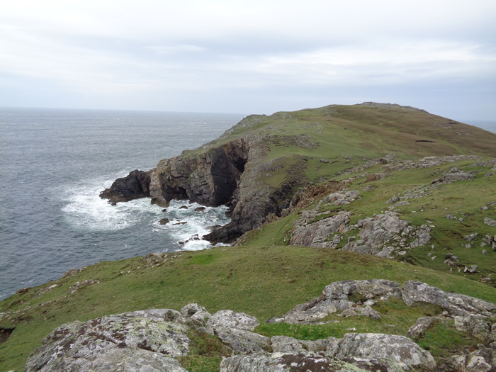
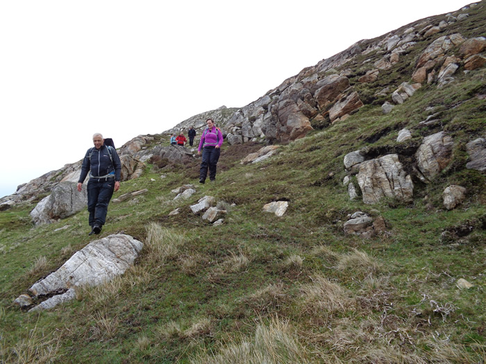
Today we were headed out to the far end of the Ceapabhal peninsula to find the "Natural Arches" shown on the OS maps. A series of "arches" in the cliffs along the shoreline created by millions of years of sea erosion. En route, we stayed just above the shoreline past the current pasturelands and beyond to where there was considerable evidence of earlier settlements towards the end of the peninsula.
In particular, we crossed a large area of old "lazy beds" as we rounded the head of the peninsula, noticeable by their size, much larger than others we had seen, so much so, that it was like walking over a long series of high steps, and even today, there was a small herd of cattle grazing on the only piece of clear grassland right at the edge of this remote headland.
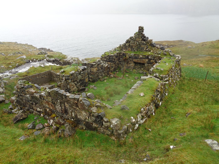
We visited 2 of the 4 arches marked on the map, before making our way back along the opposite side of the peninsula to the remains of the old chapel and broch situated on the headland at Rubha an Teampaill with its stunning shoreline of white sands.
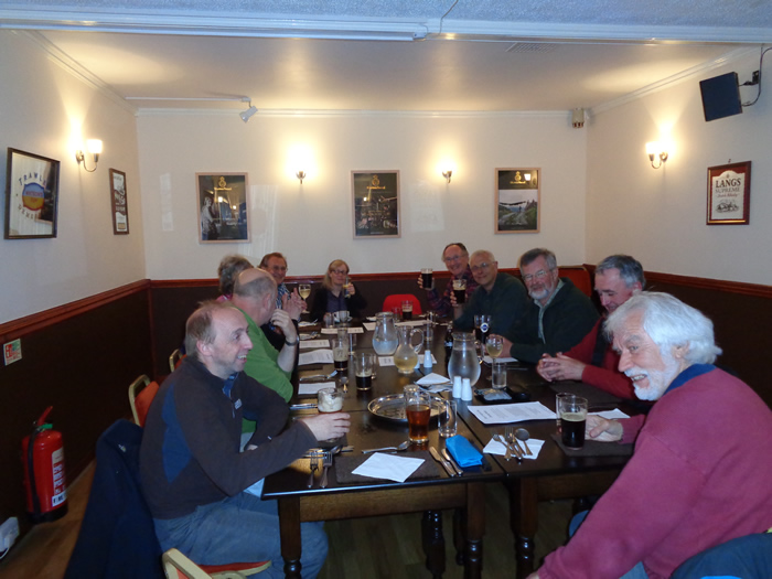
With the weekend drawing to a close, we headed off to Tarbert for an evening in the Inn, a meal and nice pint of Black Cuillin to round off a wonderful weekend. All that remained now was to ensure we were on time for the 12:00 ferry back to Uig, and for our return drive along the most scenic of scenic routes - Sometimes we just need a little reminder of what beauty we actually have right on our own doorsteps - Frankly, I won't be unduly worried if I never take any of the other 29 drives.
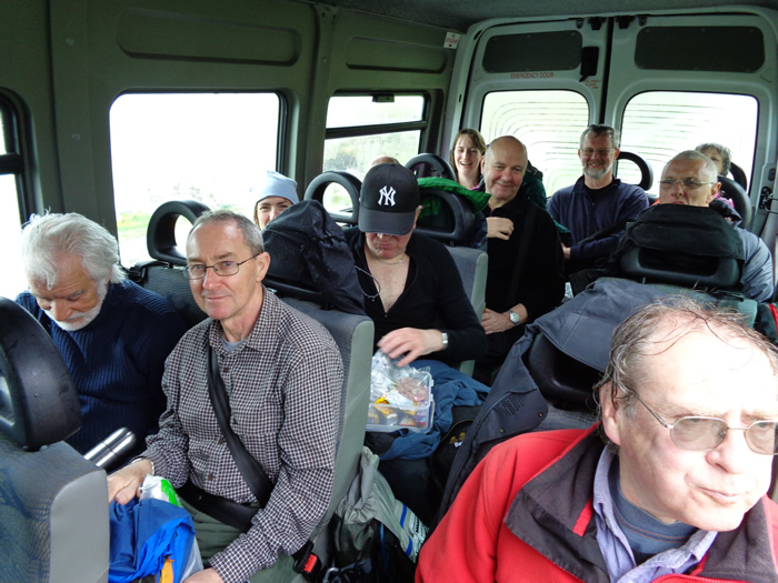
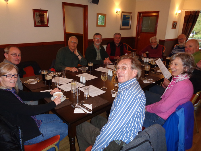
Thanks everyone, and especially to Alan & Kenny for all the driving they did - Great Weekend
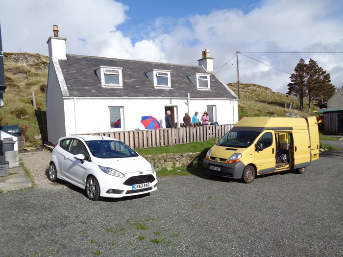
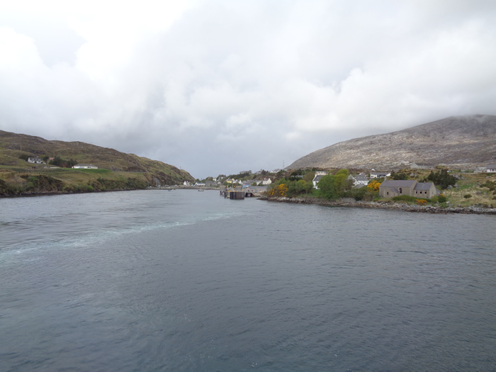
Reinigeadal & Ceapabhal Peninsula - Photo Gallery
Click any photo to activate large screen photo gallery