Ben Lomond from Loch Dhu(974m)
Monday 21st April 2014
23.5kms
9hrs 30mins
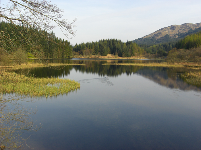
To most, it would probably sound stupid to plan a walk up Ben Lomond on an Easter Monday when there is a big high sitting slap bang over western Scotland - it will be heaving with walkers all clambering for space on the engineered track from Rowardennan. No problems then, we will just start from Loch Dhu! Why? Well it's another one of Alan's must do routes - enough said.
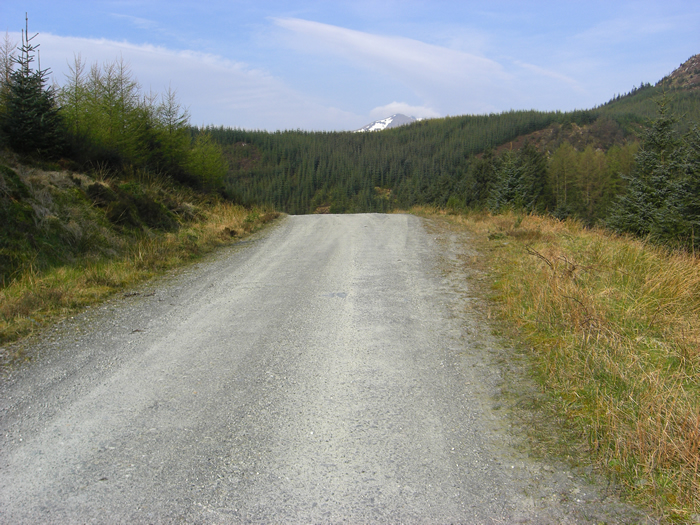
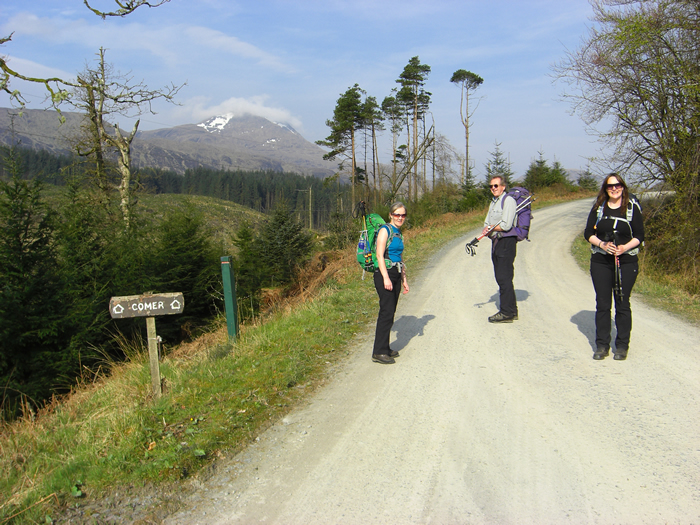
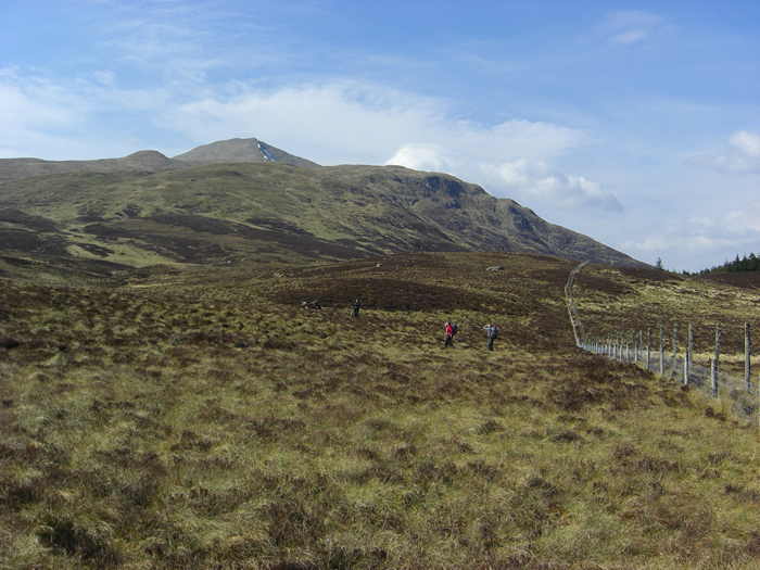
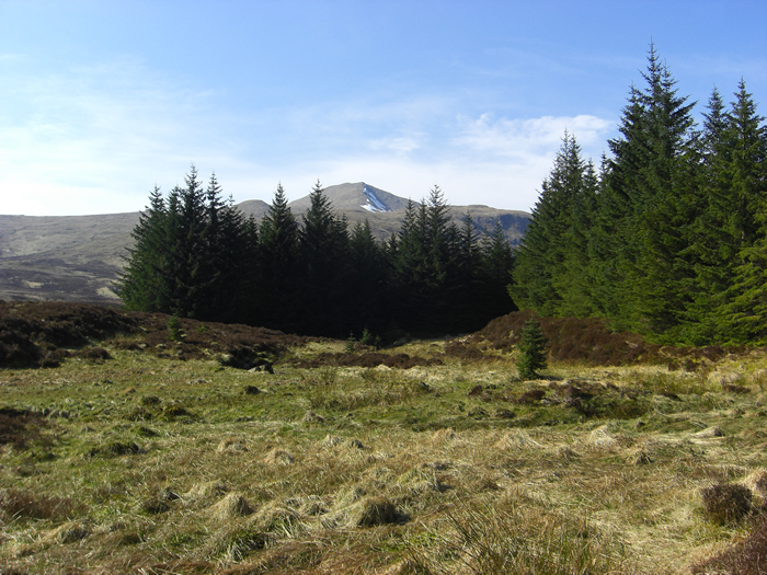
A good, almost motorway quality, forest track crosses the hillside and transits the forest for just under 7Km from Loch Dhu to the remote farm house at Comer, and, at a leisurely pace we covered this first leg in just over 1½ hours. Approaching Comer farmhouse a number of notices inform you that there is "No Access to Ben Lomond through Comer Farm".
However, this is not a problem as the most obvious route is to leave the farm track immediately after passing through the farm gate and take to the open hillside via a second gate, leading directly to the lower slopes of the north east ridge. Initially quite broad, the lower slopes rise steeply at first, before leveling off around the 400m level as you cross open hillside towards the base of the main ridge, at about 500m.
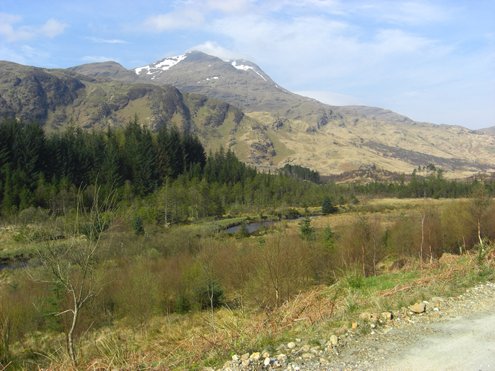
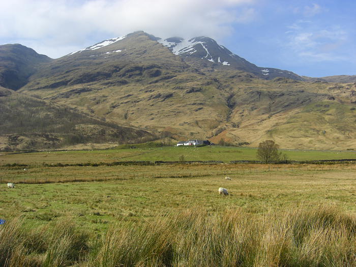
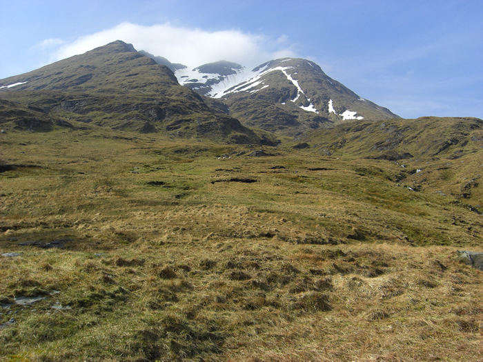
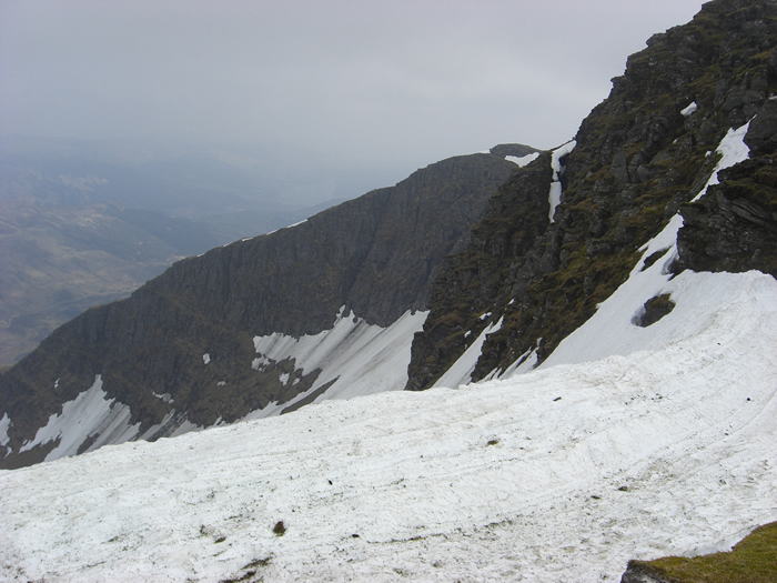
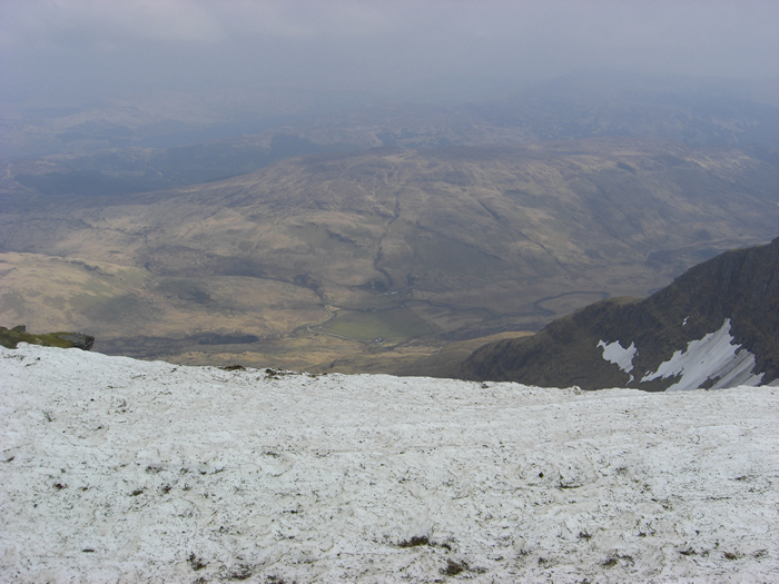
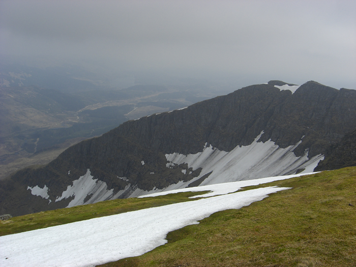
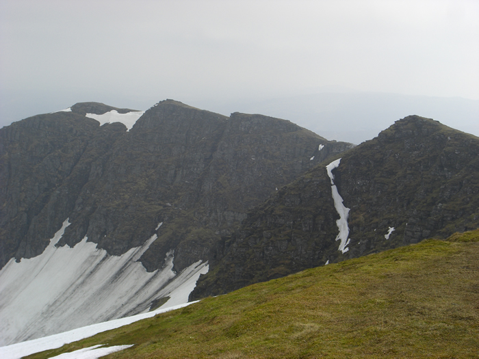
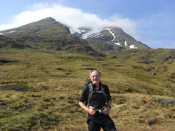
At this point, the views deep into the northern corries of Ben Lomond are quite dramatic, especially as today they still held quite an amount of deep snow running down from the highest levels to the rock strewn base, some 500m below.
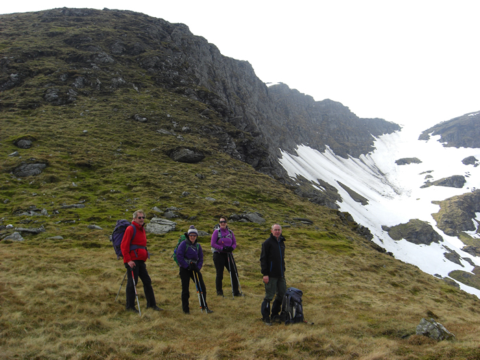
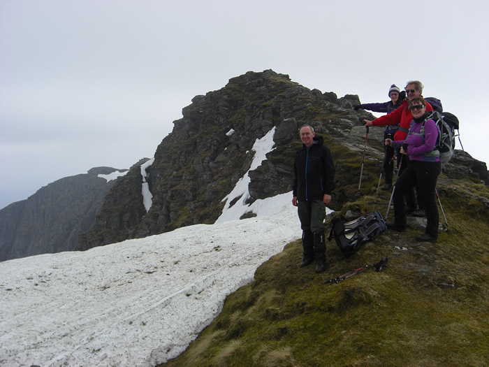
The main ridge now appears, and looks quite daunting, with numerous rocky crags lining the route. In reality, as you approach each area of rock, it is possible to discern a safe route of ascent, albeit, it may involve the occasional use of hands to support your progress. That said, the precipitous northern edges of the ridge, and the route finding would make this quite a challenging climb in poor visibility, today we had almost ideal conditions; except, maybe, for a few strong gusts of wind which kept us alert in the more exposed areas.
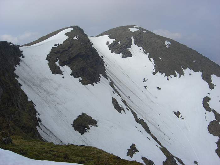
We crested the ridge at 950m height and joined the main "tourist" path some 300m distance from the summit. And as predicted, it was heaving. The flow of bodies in both directions was just continuous, and looking down the length of the path it was just like a mass of ants crawling all over the place. We passed the summit point and found ourselves a spot on the Ptarmigan side of the summit that offered some seclusion for our lunch, but all the time the throngs just kept coming and going.
We left the summit and retraced our steps to the ridge and continued on the main path for a further 300m (and actually met 2 mountain bikers carrying their bikes up with the intention of cycling down the main path - madness; no chance with walkers every few metres along the path) before we once again left the throngs behind and dropped off into our own world of quietness and solitude.
We descended the broad grassy shoulder south south east from Coire Fuar towards the forest boundary and the head waters of the Bruach Caorainn Burn where a narrow, faint and very wet path runs alongside this delightful burn, with its miniature waterfalls, and through the forest for 2km before linking with another well graded forest track.
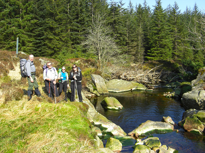
The longish, 7Km walk out along the track was broken by a restful afternoon break by the footbridge spanning Duchray Water just above its confluence with the Bruach Caorainn Burn, a delightfully pleasant and tranquil spot in the heart of the forest - a wonderful final rest when nearing the end of a long, but wonderful days walking.
Thanks everyone for your company on a marvelous days walking.
Ben Lomond from Loch Dhu - Photo Gallery
Click any photo to activate large screen photo gallery