Beinn A'Mhanaich(709m)
Saturday 7th December 2013
14kms
5hrs 30mins
It is not often that you start a walk having to pass through an entry point manned by uniformed MOD police and with the sound of gun-fire in the hillsides. Not unless that is, you are about to walk through a military firing range and a FIBUA training area! Just goes to prove, you should be prepared for anything when out in the Scottish hills.
No need for panic however, as the route through the ranges follows the well maintained "Yankee Road", so called as it was built by the American Military during World War II, and which now also incorporates part of The Three Lochs Way LDP, so walkers are no strangers to the range personnel, and there is an access agreement with the MOD for this route through the training area.
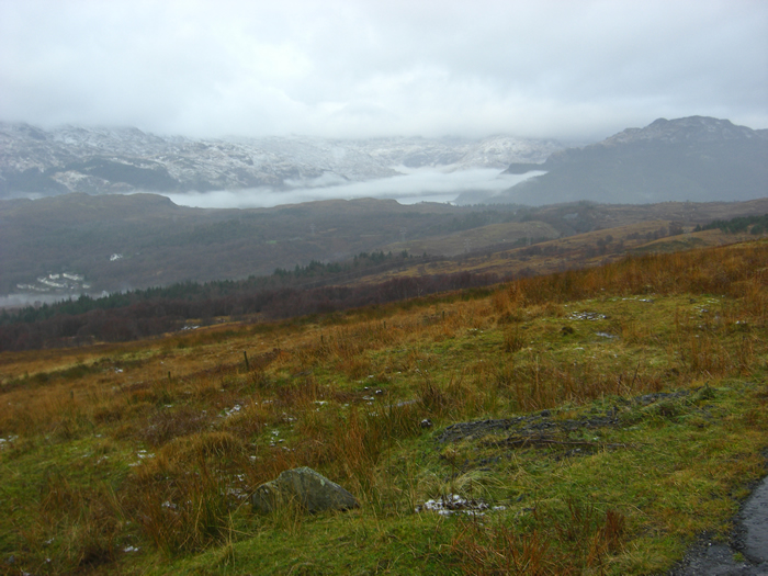
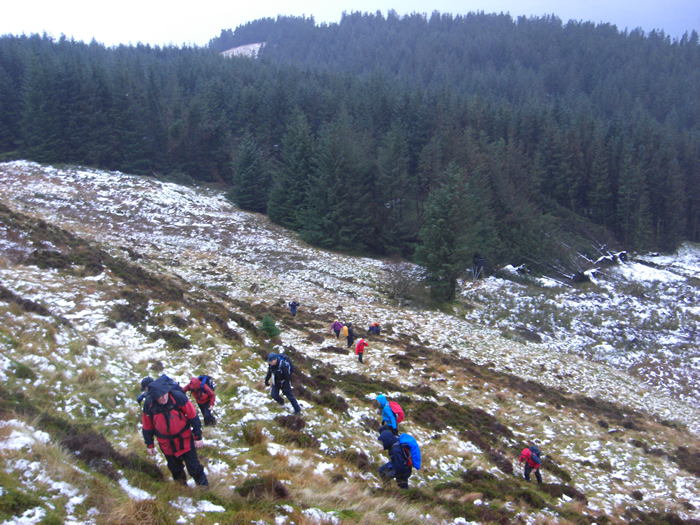
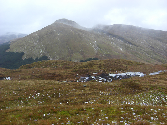
Fairly heavy rain and low cloud accompanied us for most of this walk, as we made our way along the main track before branching off, leaving The Three Lochs Way, and taking to a forest track heading towards the minor top of Tom Buidhe. The forest on either side of the track along this section is fairly dense, and so our exit east from the track was taken through an area of felled trees, which, given a very light covering of snow which masked what was really underfoot, was a little tricky and awkward for a few hundred metres until we gained the broken ground ahead. Another short section of forest, boggy and quite overgrown, saw us eventually onto open hillside with the steep slopes Beinn Bhreac ahead.
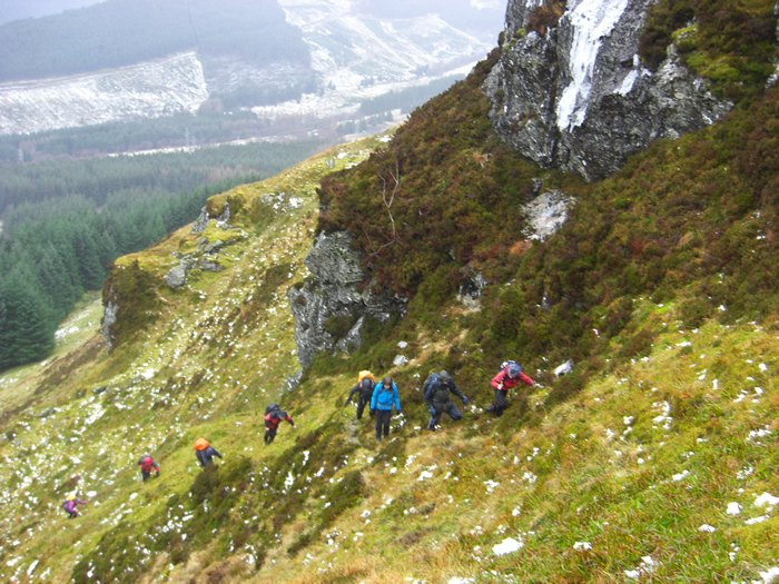
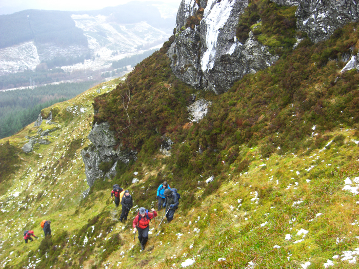
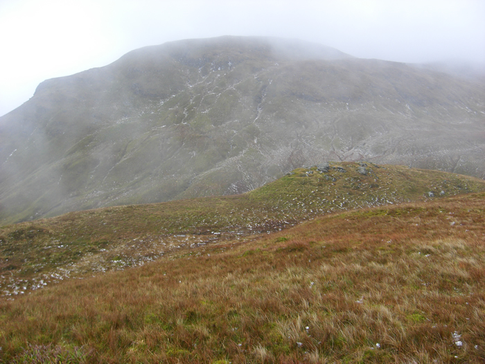
An obvious, but very steep, grassy gully running between two craggy outcrops provided us with a route to the minor top of Beinn Bhreac, from where the ground rose in a gentler manner, passing two small frozen lochans and onto the broad summit of Beinn Bhreac. The rain was easing, but the low cloud still persisted limiting our views to adjacent hills only, anything further was lost in the mist.
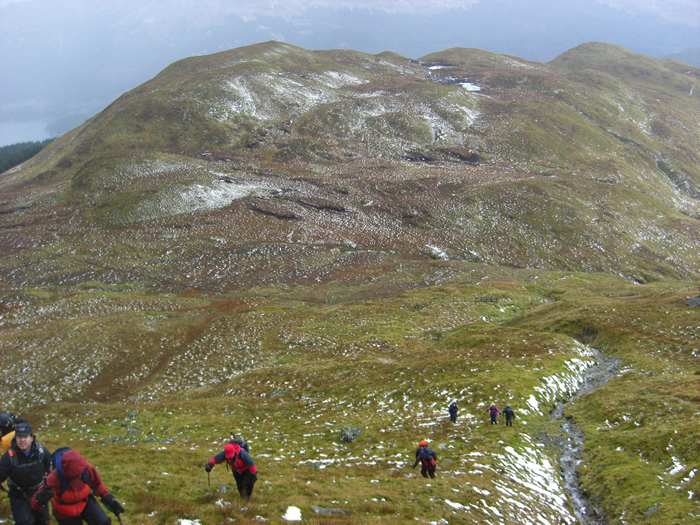
We left Beinn Bhreac heading south east on a short descent before the final climb towards the summit of Beinn a'Mhanaich. At this point, the rain returned, accompanied by quite a strong wind, and so we were quickly retracing our steps from the summit to pick up the path for the descent along the long grassy ridge of The Strone.
With some good forethought, Mike had sought, and been given, clearance from the range for us to cross the southern boundary within the range area, thereby saving us the need to walk back along the busy, and pathless A817 as we made the final descent from The Strone south west towards our start point.
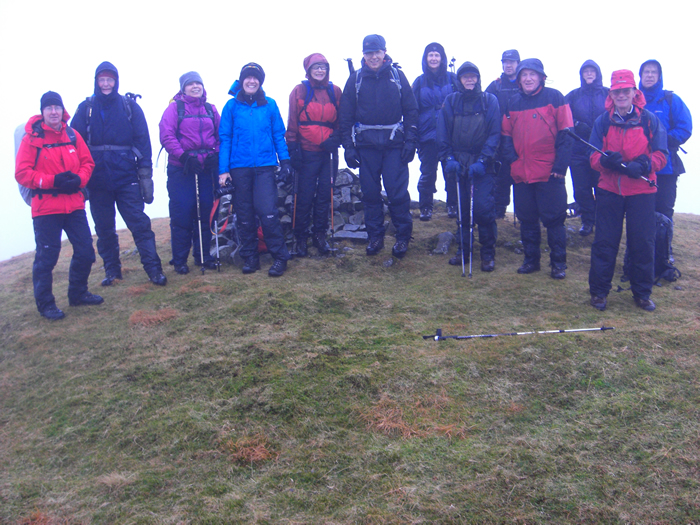
A very enjoyable and interesting route, with some testing climbs! Thanks Mike
Beinn A'Mhanaich - Photo Gallery
Click any photo to activate large screen photo gallery