Binnein an Fhidhleir(817m)
Sunday 10th November 2019
8kms
5hrs 30mins
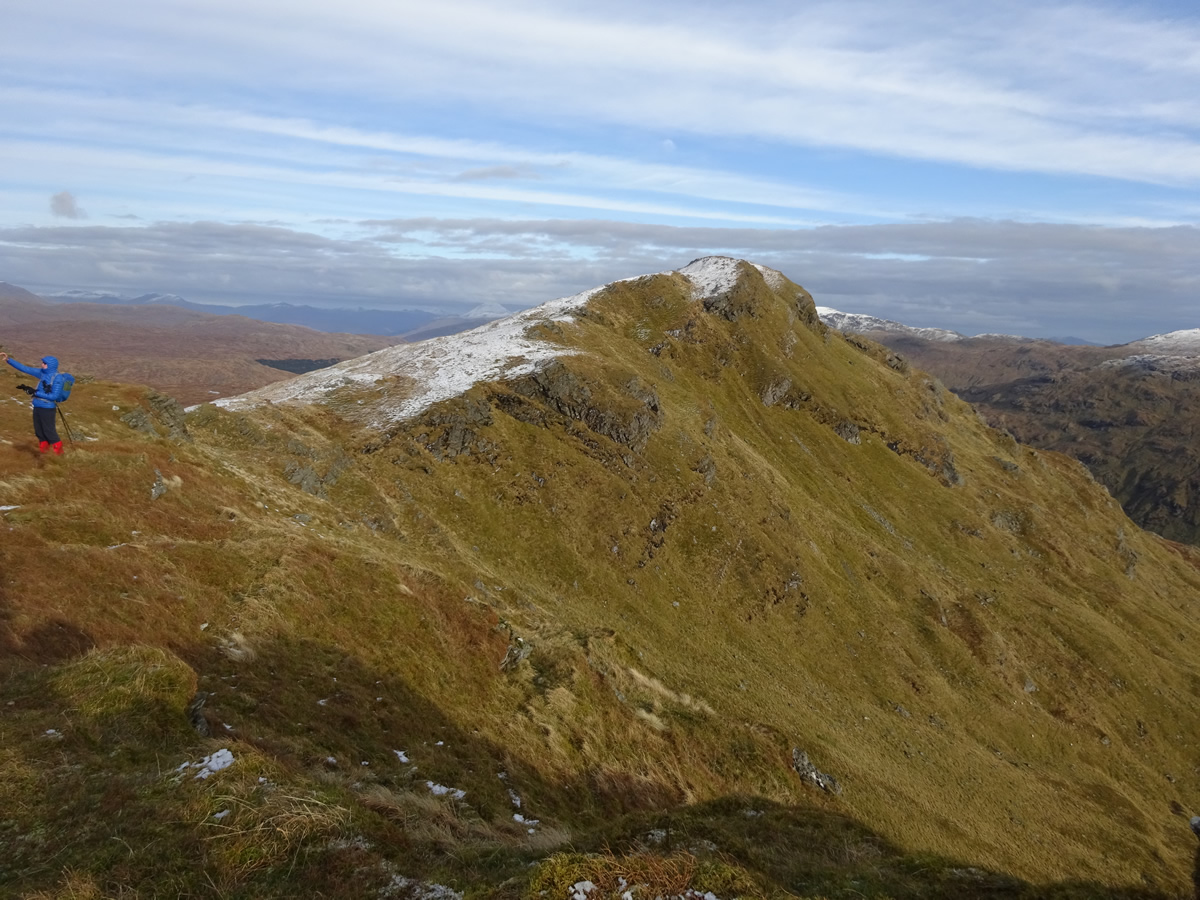
Binnein an Fhidhleir is an impressive ridge which rises high above Glen Kinglas, as it sweeps south south west from the northern edge of Loch Sloy down to meet the A83 trunk road at Butterbridge where the ridge swings sharply west, dwarfing the traffic heading along the road to Cairndow, and the western most point of the ridge on the shores of Loch Fyne. Along the way, the ridge presents a conundrum; the ridge takes its name from the 811m western most top of the same name, and which also lays claim to the Trig Point on the ridge. However, Binnein an Fhidhleir in not the highest, and therefore not the main summit on the ridge, which in fact is Stob Coire Creagach, (which for reasons known only to Ordnance Survey is un-named on most 50,000 Landranger maps, although it is named on current 25,000 Explorer maps) and lies some 1.5kms east of Binnein an Fhidhleir, and is the highest point on the ridge at a height of 817m, thereby gaining Corbett status. One point however is undisputed and very clear, this mountain presents, and here I quote from Walk Highlands, "a truly gruelling and unremittingly steep ascent"; and on that last point, I remain confused, and offer a counter quote from the walk briefing as we gathered at Butterbridge, in that we would "meander" up the hillside directly ahead of us!
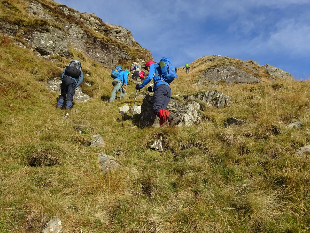
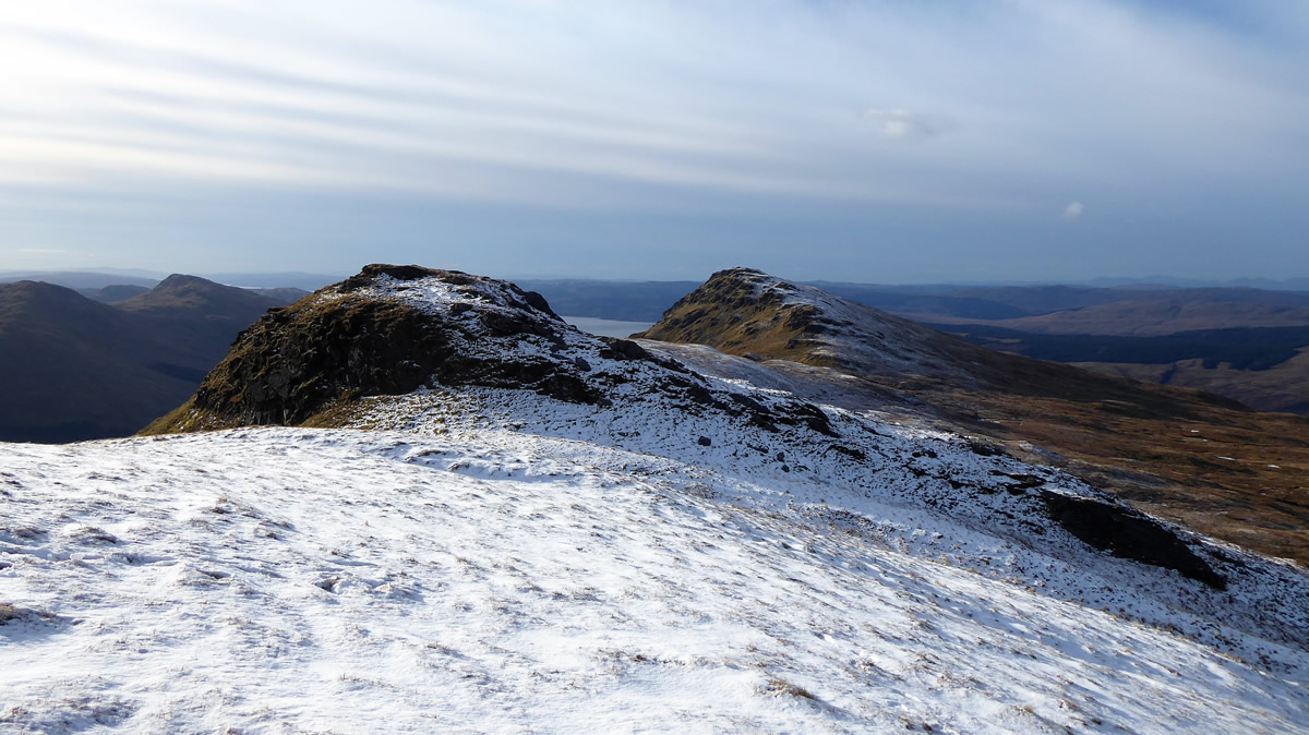
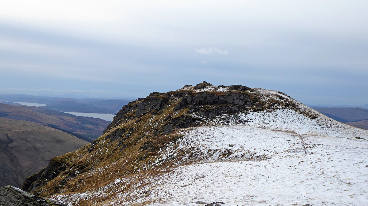
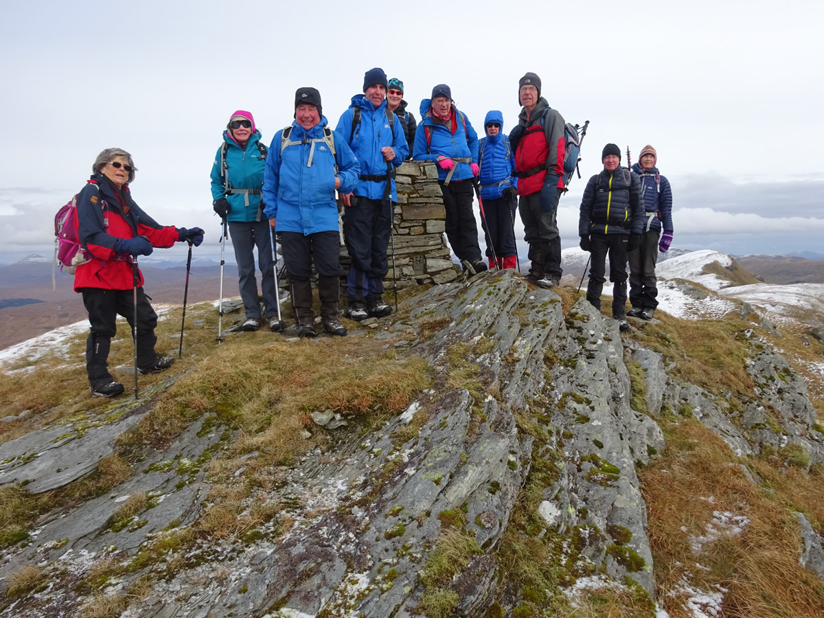
So, "meander" we did; steeply up a rough, boggy hillside on a faint path through the lower wooded area heading to the "the tree", which one I wasn't quite certain as we were surrounded by trees, but apparently this one was where we would find the stile over which we would gain the open hillside. And, surprisingly enough, this method works, for our "meandering" took us directly to a large ladder style over which we did gain the open hillside. Ahead of us lay a band of crags, but with a very defined grassy rake running up through them, and it was to this rake that we continued to "meander" on a very indistinct path, up through the crags and onto a broad ridge where the gradient eased somewhat over which we could "meander" a little more leisurely to the next set of crags, where again we were able to find a series of grassy rakes which zigzagged up through the crags onto yet another easier section, which in turn lead to yet another set of crags, which again we negotiated via a series of grassy sections till finally we emerged high on the ridge just a few metres to the east of the summit, along which we "meandered" to the small cairn which marks the 817m summit of Stob Coire Creagach, the highest point of the ridge.
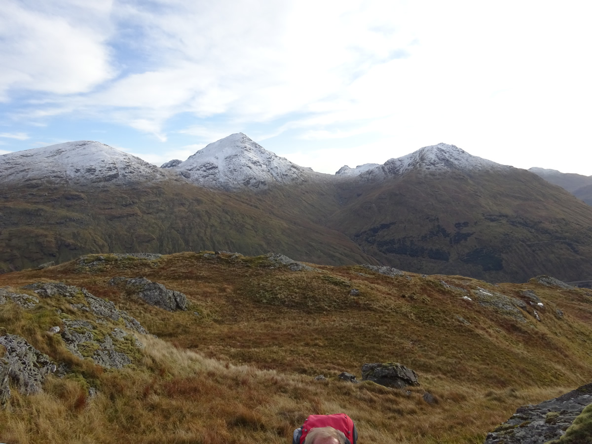
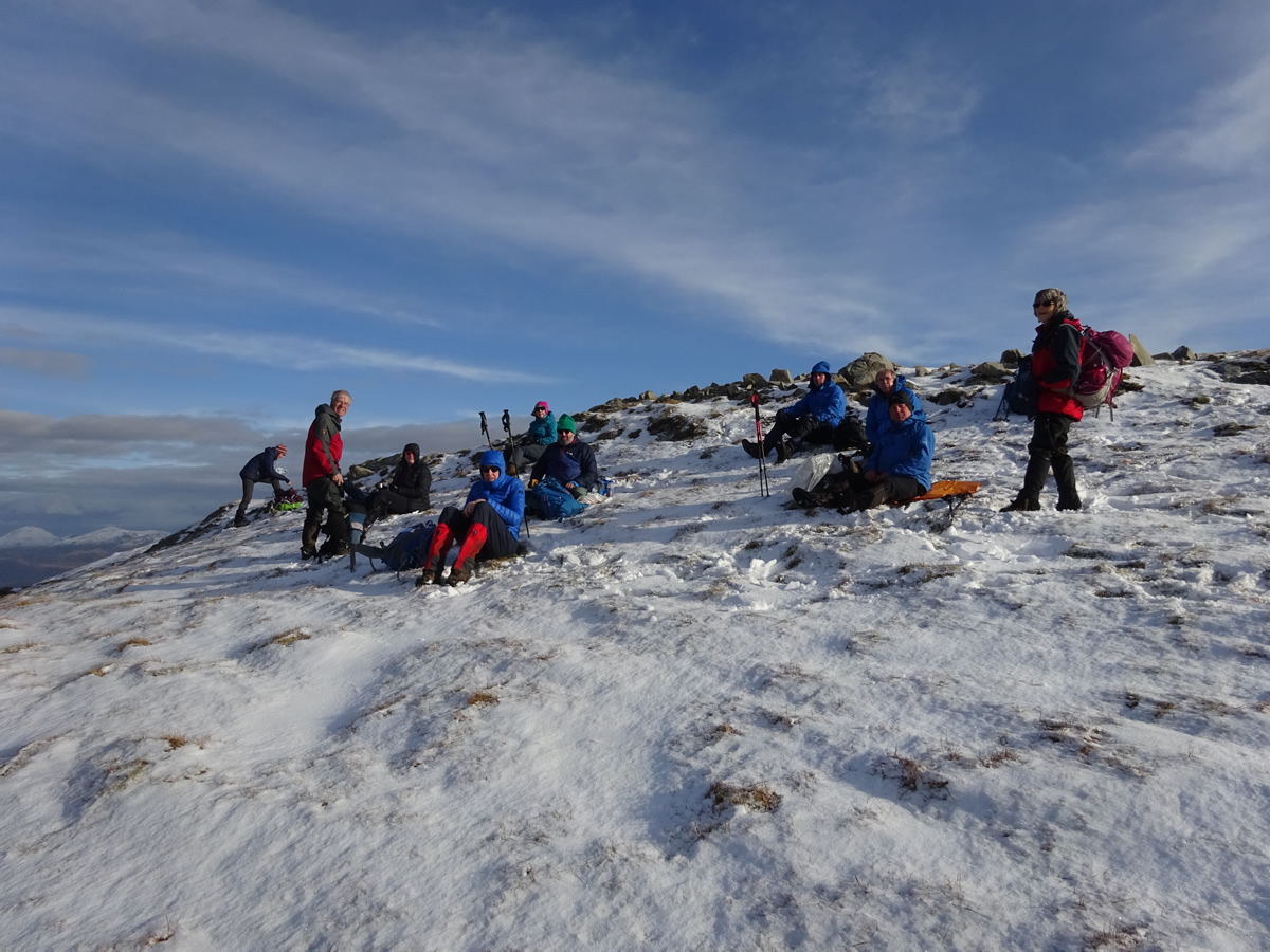
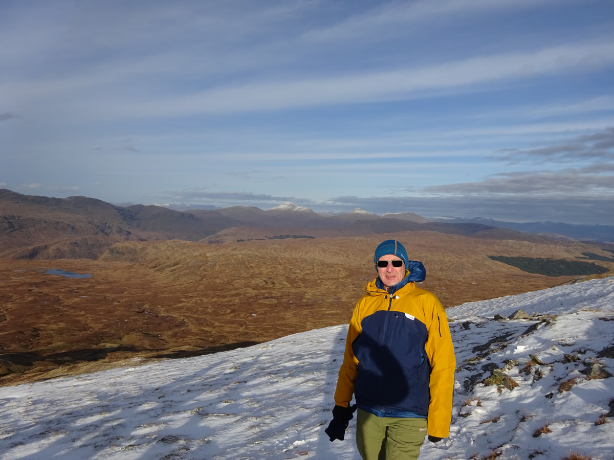
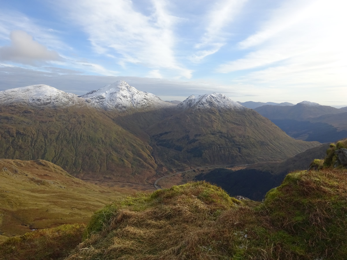
As a reward for our "meanderings" we settled down on a slight covering of snow to enjoy some great views, with the unmistakable form of Ben Nevis visible on the distant horizon. The weather was superb, bright blue skies with a few wispy clouds, but with the brightness came quite a chill wind, such that it was time to don additional layers, including hats and gloves.
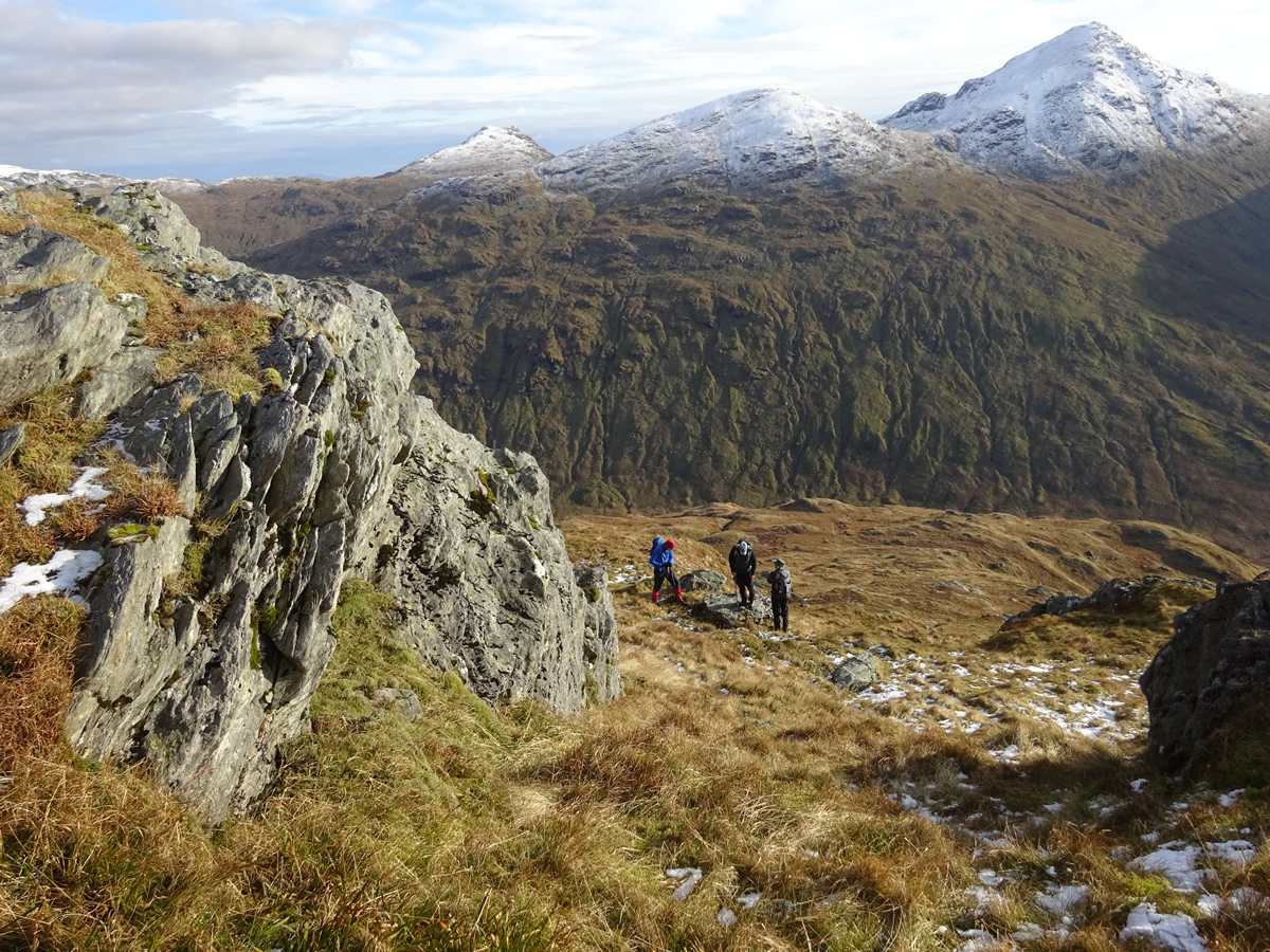
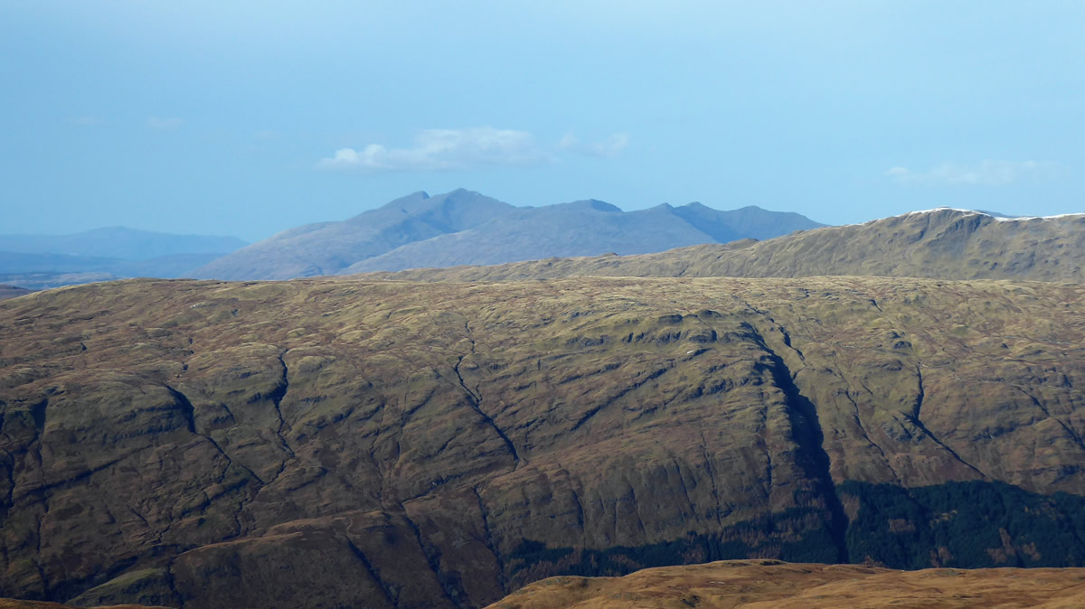
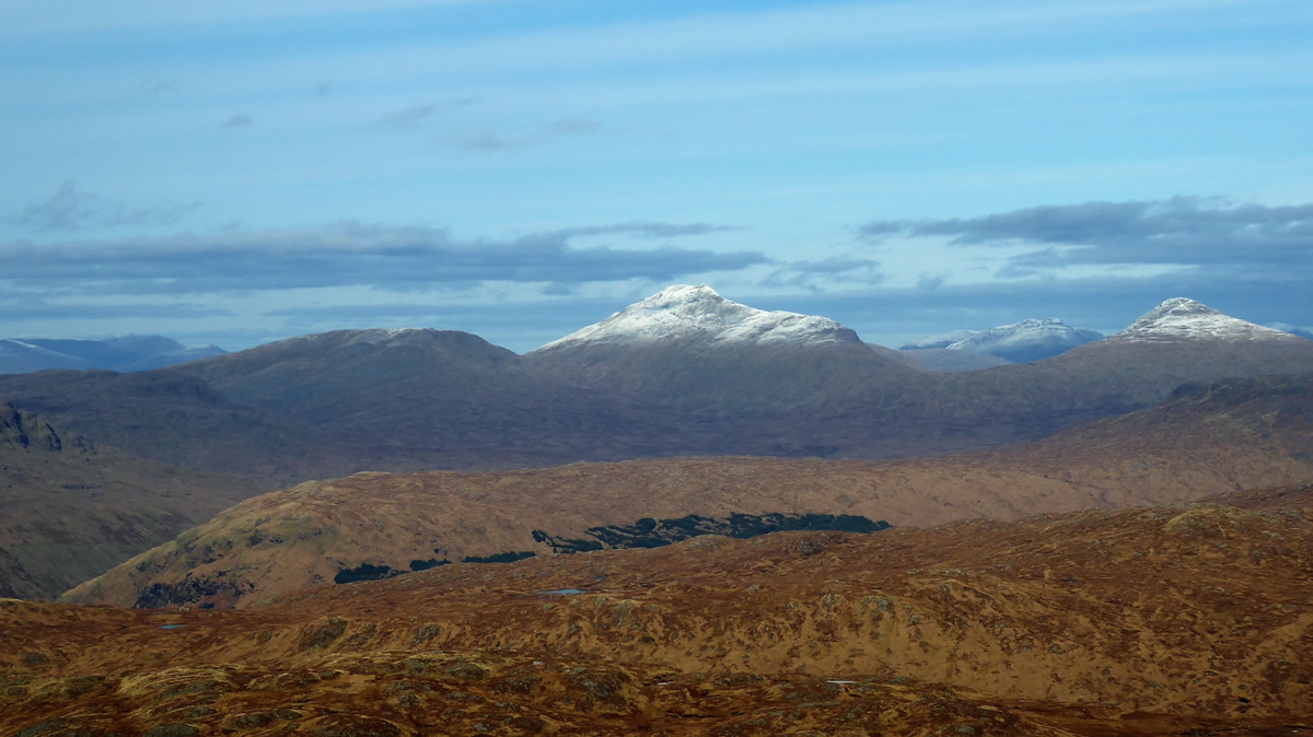
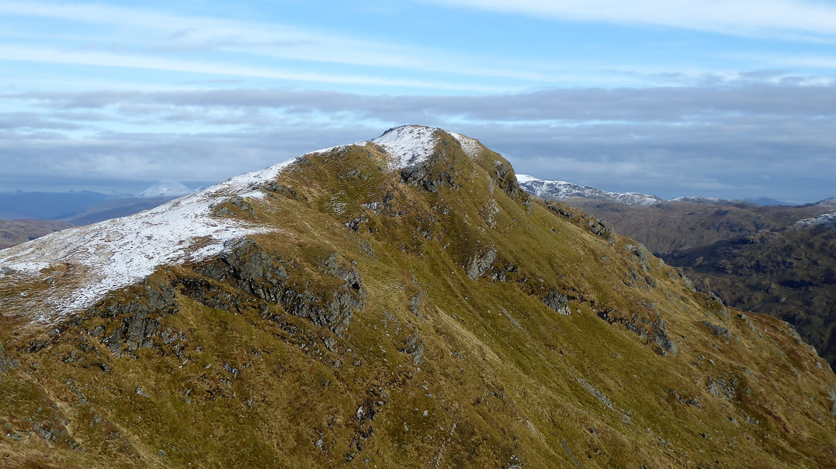
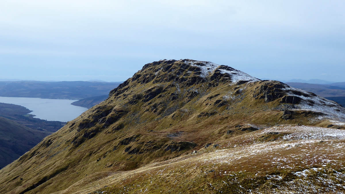
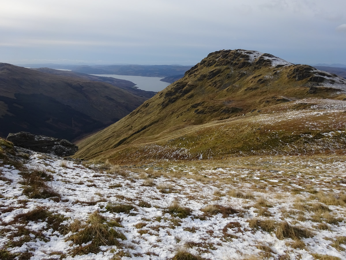
We may have reached the highest point on the ridge, but our direct ascent to the summit was short both in time and distance in contrast to our descent route, which would take us along the long west ridge, over two subsidiary tops, and down a steep grassy hillside to Cairndow. The first of these tops, Creag Bhrosgan is a rocky knoll standing at 711m with steep crags dropping sharply on its southern side, a feature which lines the kilometer or so of ridge between Creag Bhrosgan, and the more western top which give its name to the ridge, the 811m high, Binnein an Fhidhleir, which also holds a cairn built Trig Point as opposed to the standard concrete pillar. It is from this section of the ridge that the views west to Loch Fyne open up, giving a fine perspective over the upper reaches of this sea loch.
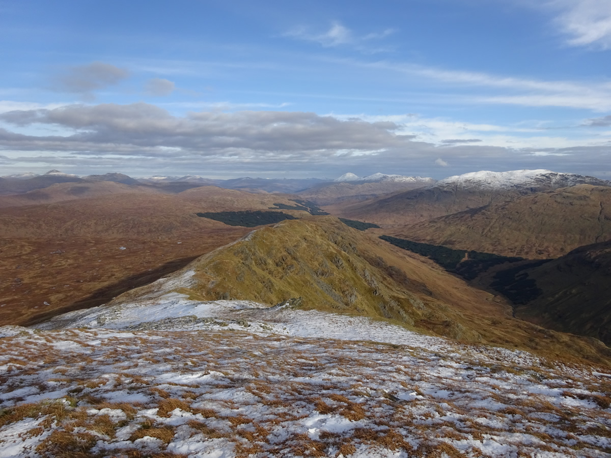
The broad, grassy ridge descending west from Binnein an Fhidhleir is a delight, as it "meanders'" gently at first before the sting in the tail as the gradient steepens considerable for the final descent down to the roadside of the A83 just east of Cairndow, at which point we recovered our pick-up cars, strategically placed prior to starting out, to ensure a swift return along the road to Butterbridge.
A fantastic day on a great mountain - Brilliant company.
Thanks Ian, and I'm already looking forward to your next "meander" - or possibly this time you might pick a mountain with a bit more oomph - something that is "truly gruelling and unremittingly steep".