Ben Donich(847m)
Saturday 2nd November 2019
8kms
4hrs 15mins
Now that the clocks have changed and the daylight hours are drawing in, gone are the long drives and long days out on distant hills; instead, the shorter days concentrate our minds on our local hills, easily accessible and comfortably completed within daylight hours. And that is not a bad thing, as we often forget just how beautiful and enjoyable our local hill are, and Ben Donich is one such hill, a gem amongst the more popular and mightier Arrochar Alps.
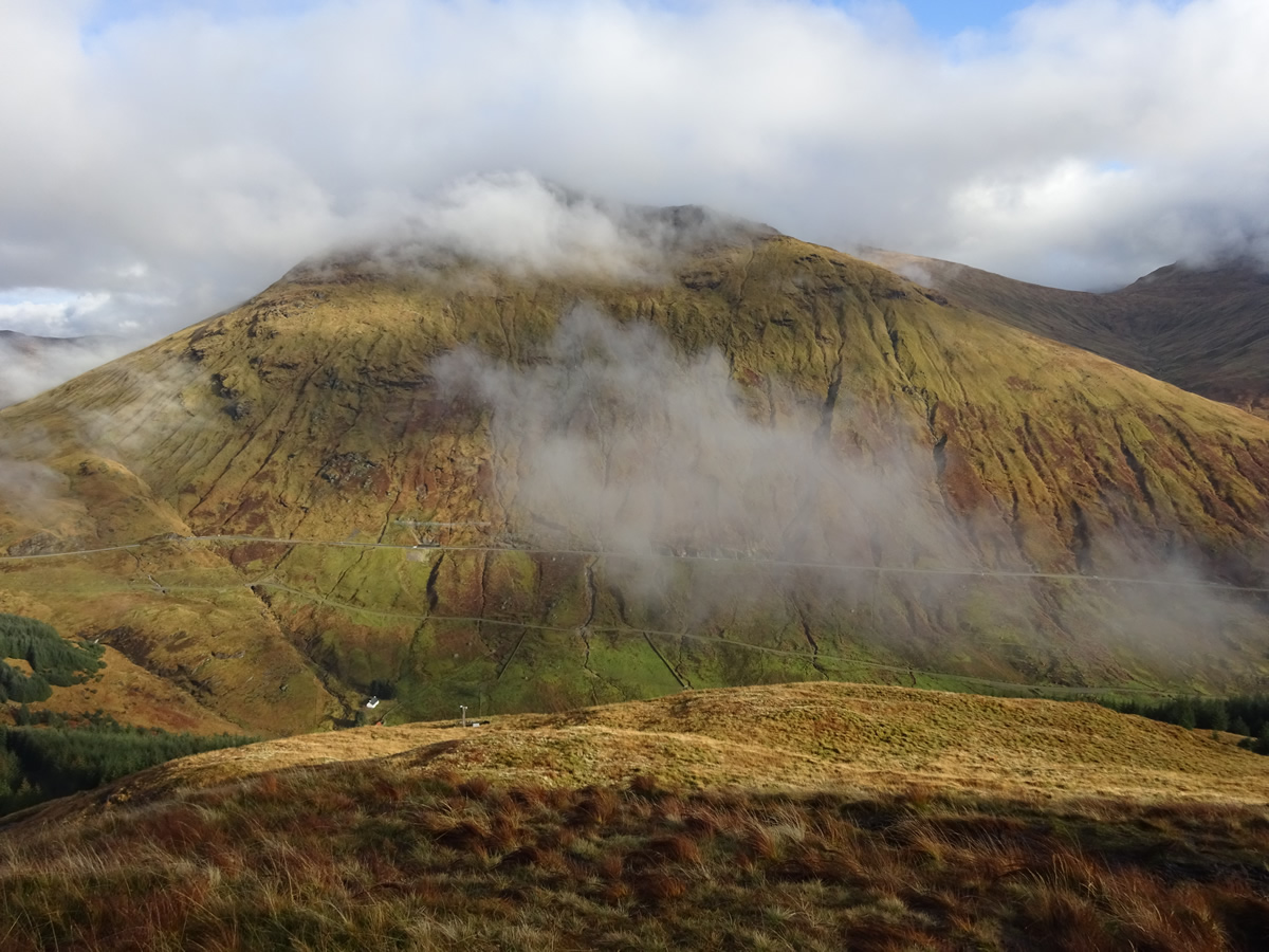
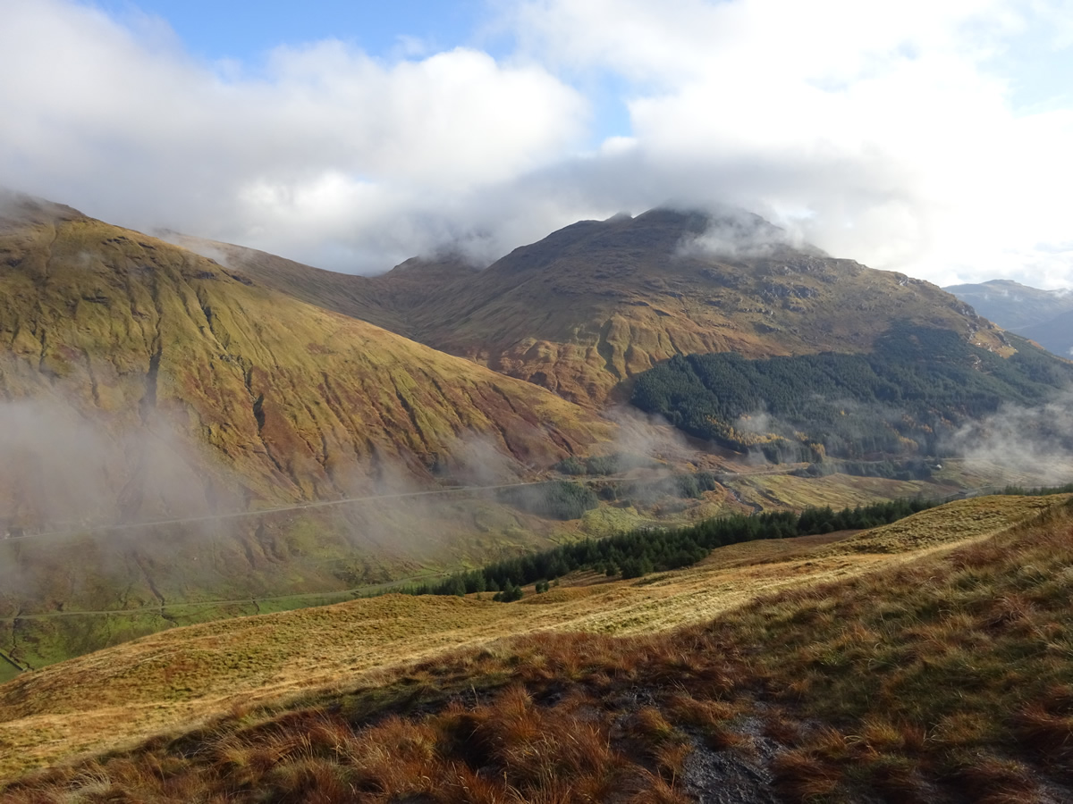
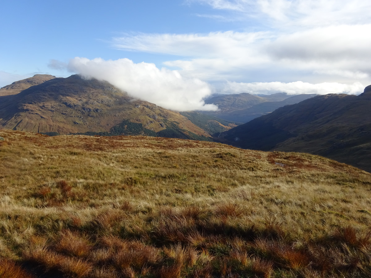
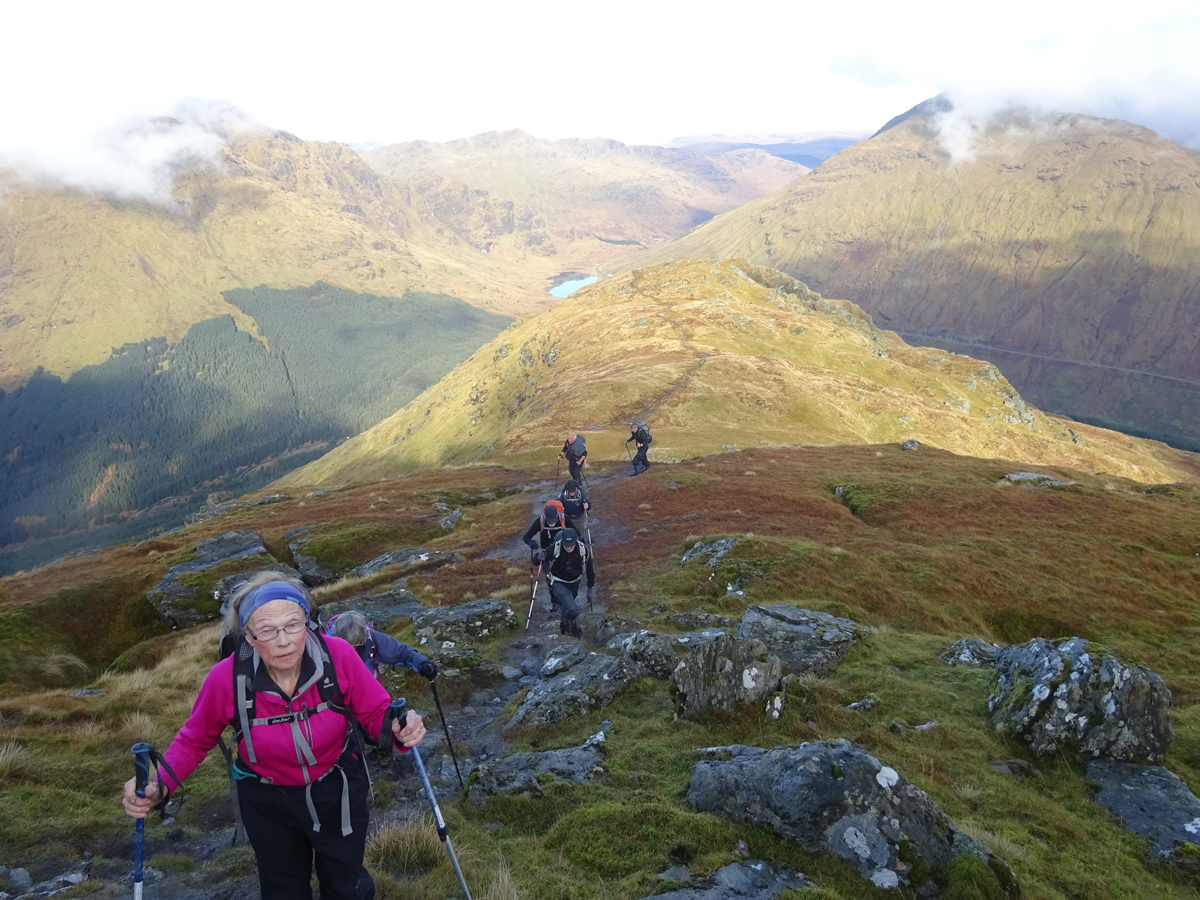
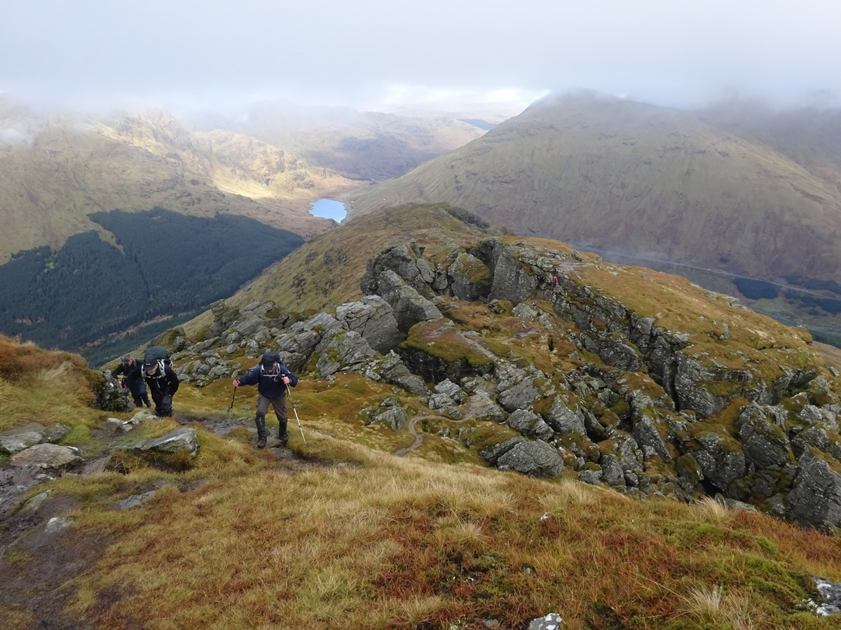
And today, this little gem even defied the weather forecast, which was quite gloomy, with grey skies and drizzle forecast for the morning, and come mid-day, heavy rain for the afternoon. So it was with some surprise that as we set off from the forestry car park at the head of the Rest and Be Thankful that the sun was shining and patches of blue sky were beginning to appear through a thinning layer of cloud. Leaving the forest behind, we were soon making our way up the very distinct path which climbs quite steeply directly up the north ridge offering great view over Glen Croe as height is gained with each passing step.
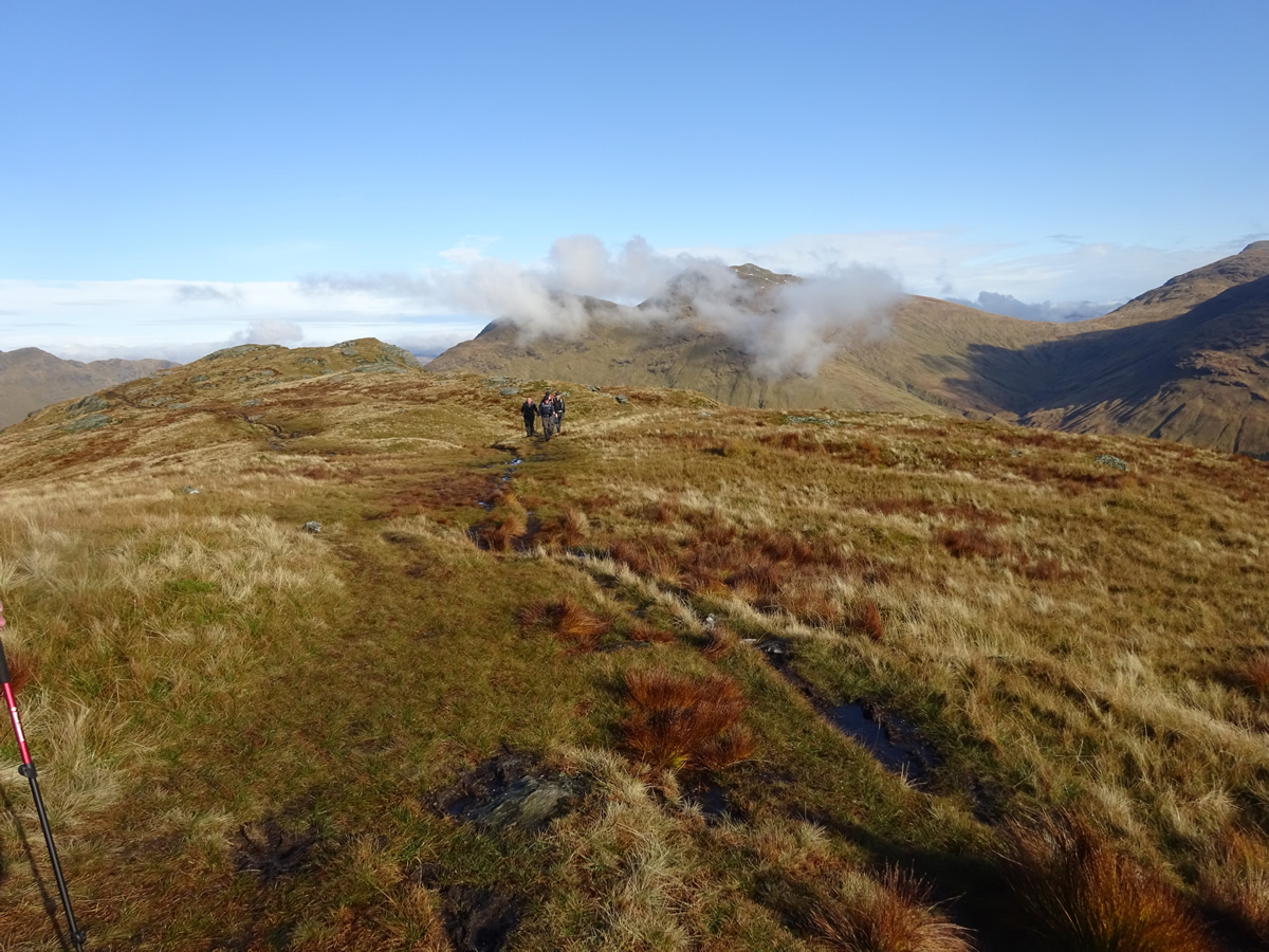
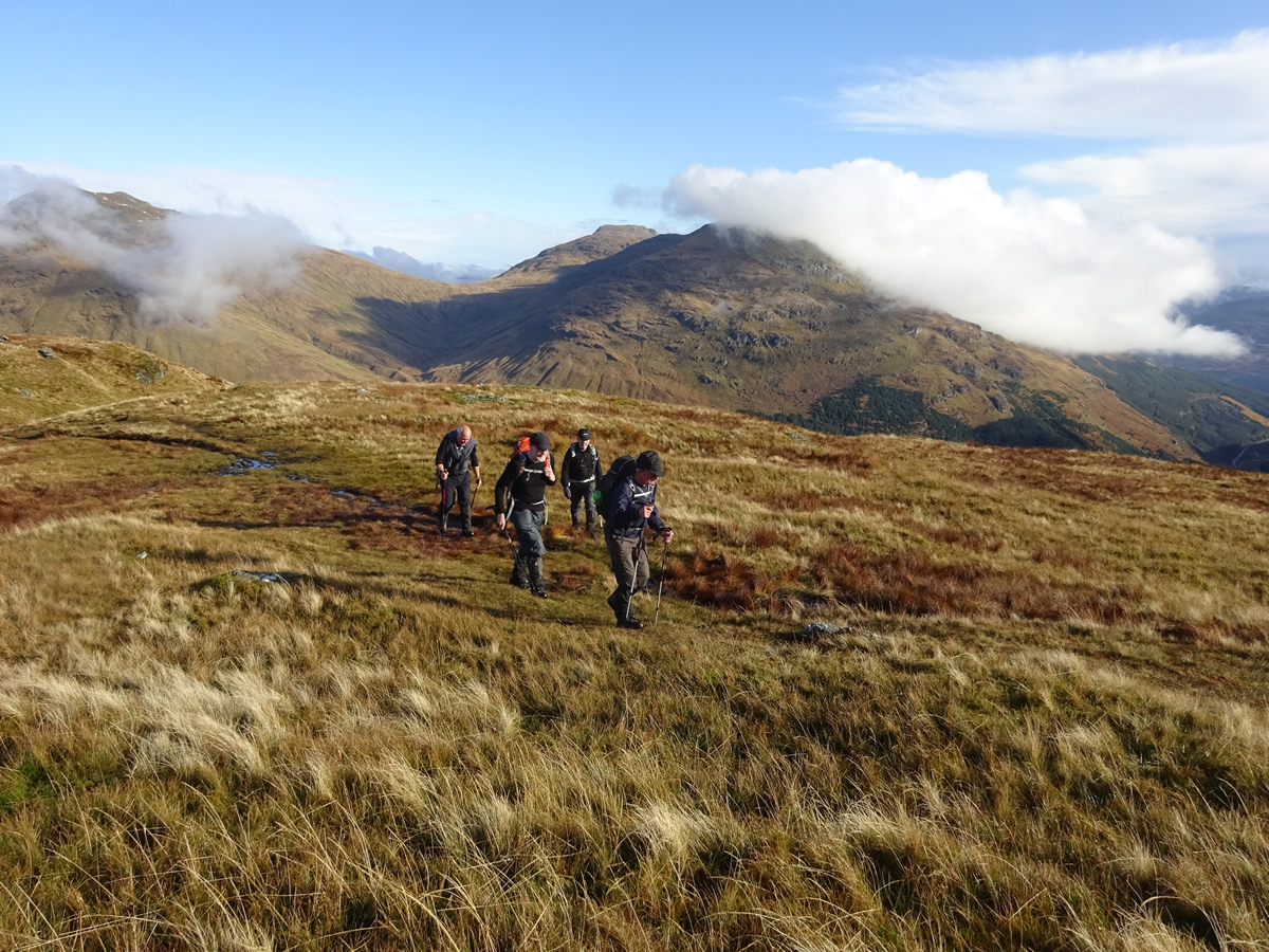
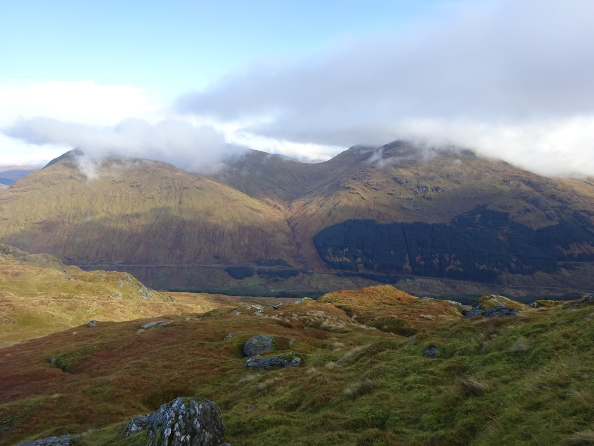
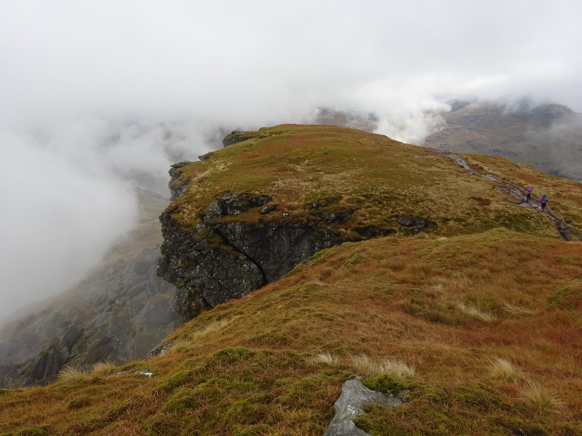
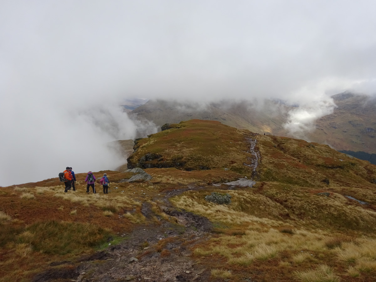
Although not as popular as its neighbours, the footfall on Ben Donich is still heavy enough to cause significant erosion to the once grassy path, and it is now a very wet and boggy affair, especially on the lower slopes; today however, not even the mud could detract from some stunning views as the sun and drifting low cloud combined to create an ever-changing panorama as we climbed ever upwards.
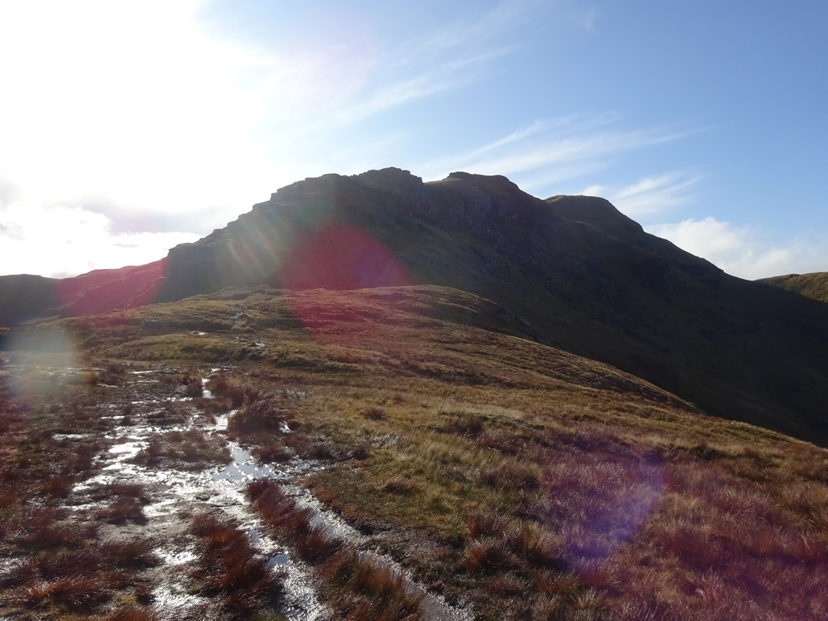
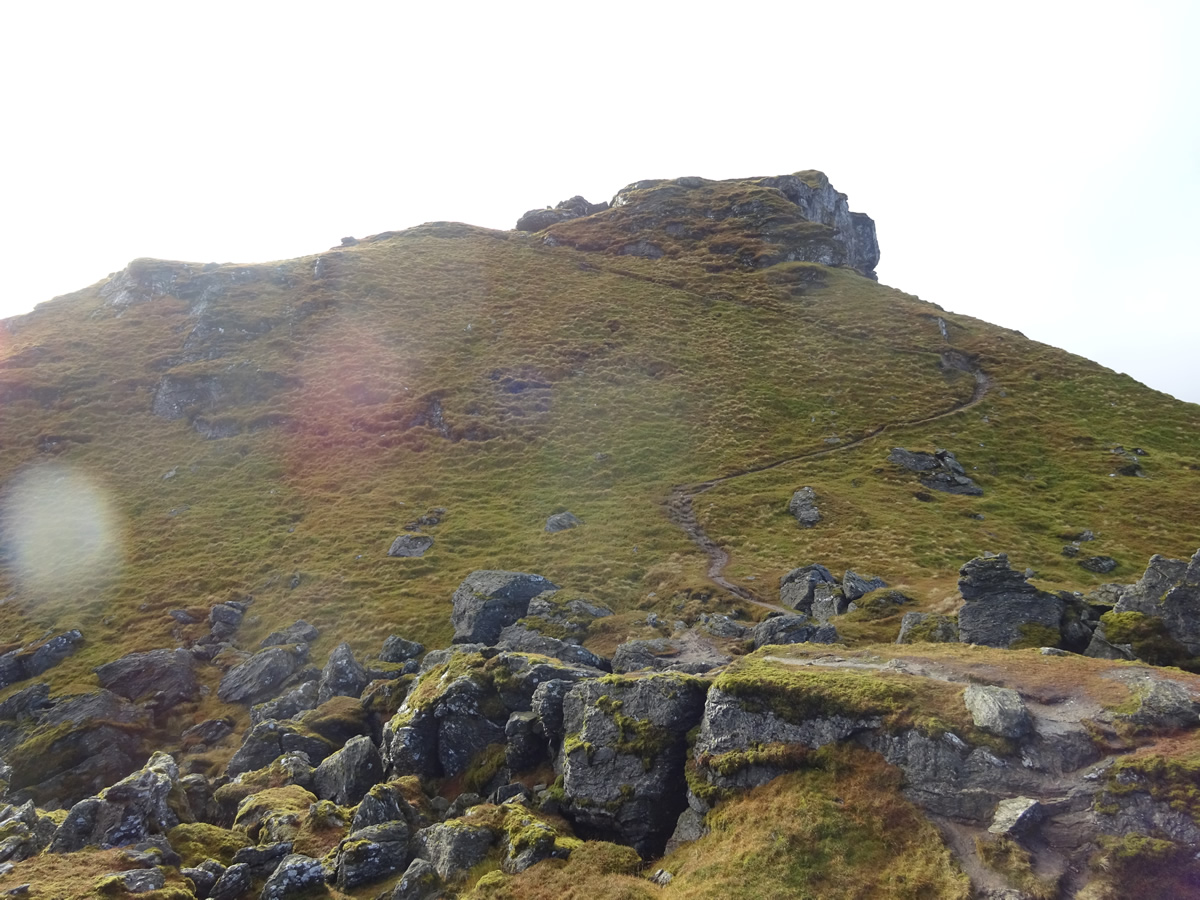
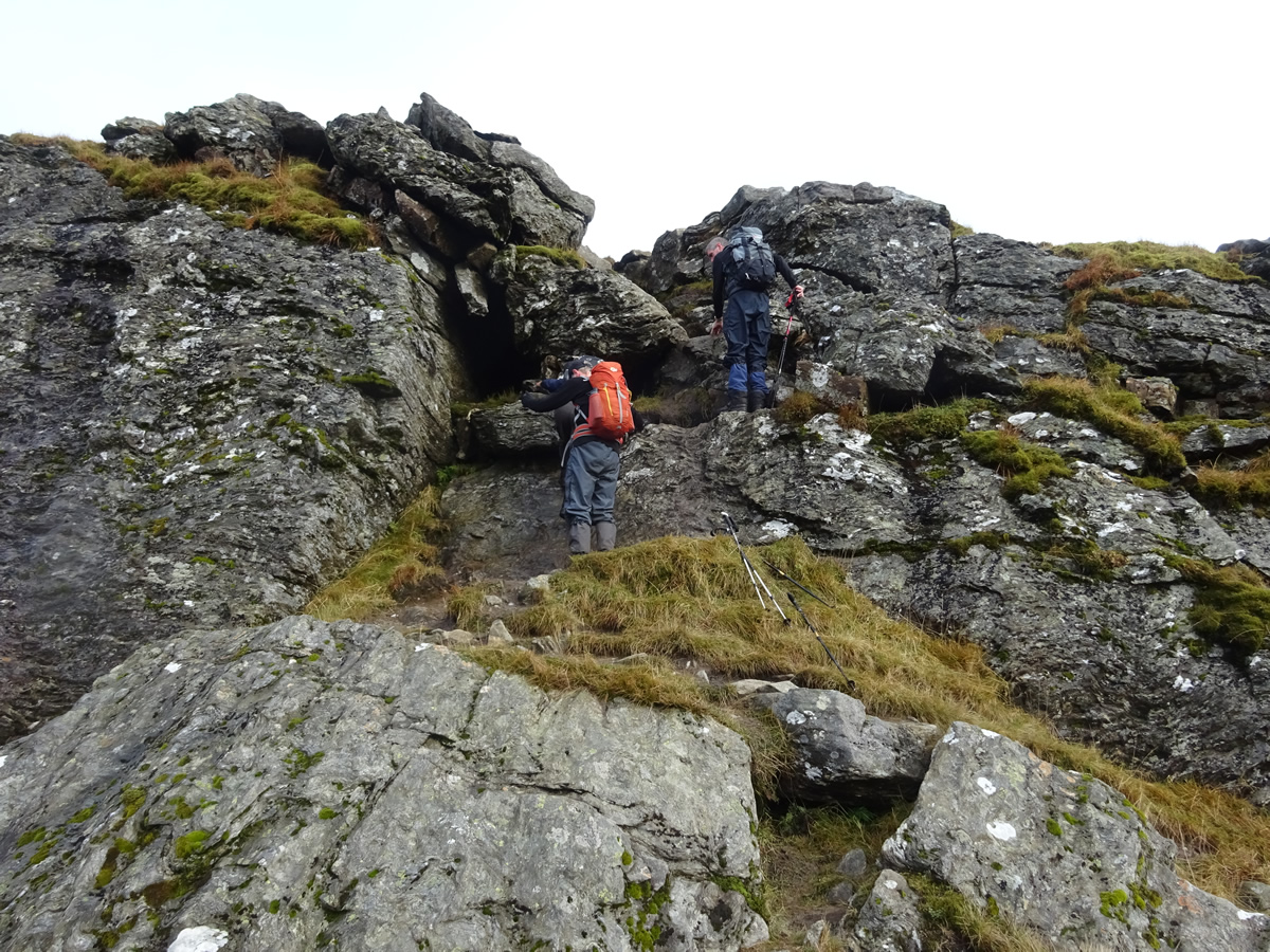
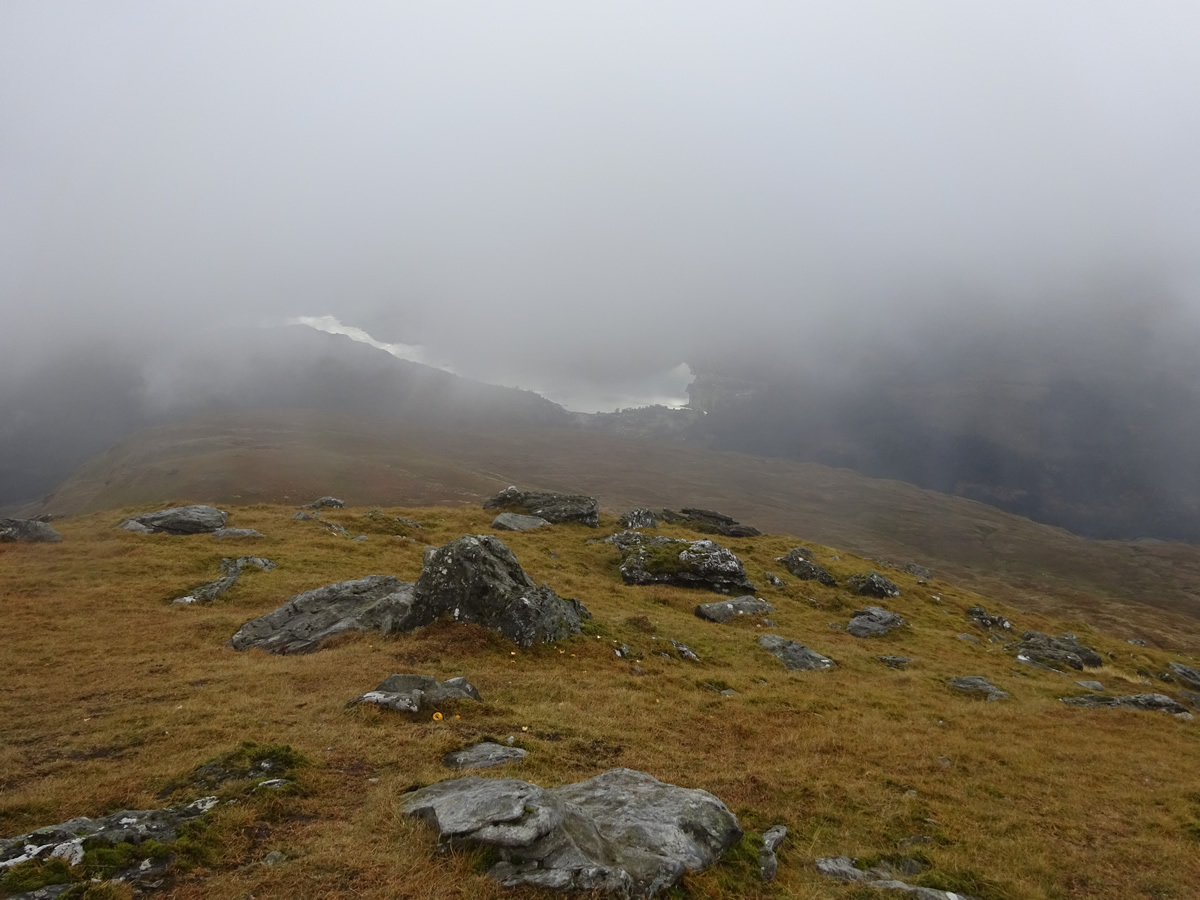
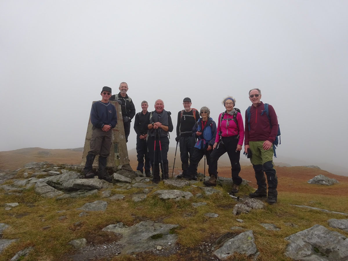
Once beyond the "bad step", a rocky fissure that lies across the ridge at about the 750m height, the hard work is done, as the final section of path leading to the summit contours the hillside as it climbs at a gentler angle towards the Trig Point marking the 847m summit. A fine summit, with stunning views! But alas, not today, as our short stay on the summit coincided with a spell of heavier cloud cover which severely restricted the visibility. A pity, but, we were happy to enjoy our lunch without the threat of the forecast heavy rain.
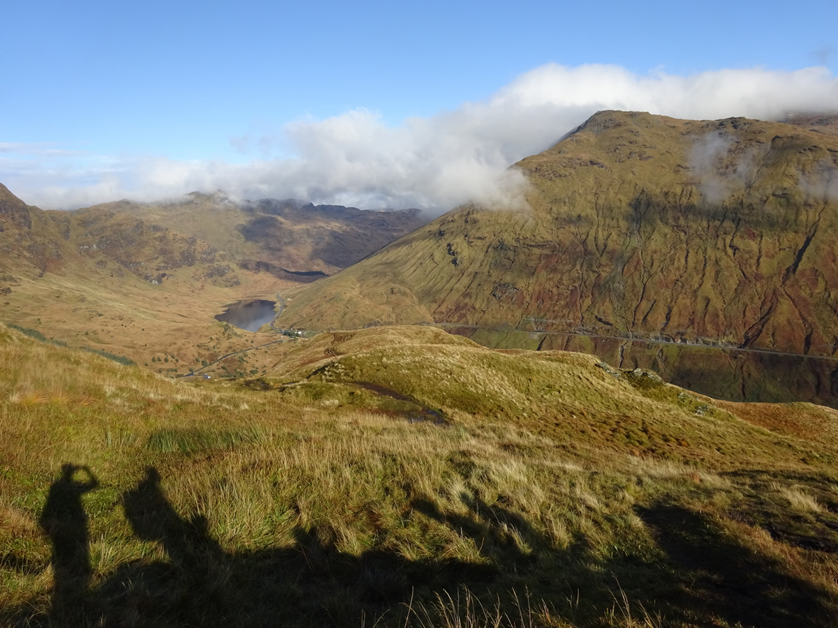
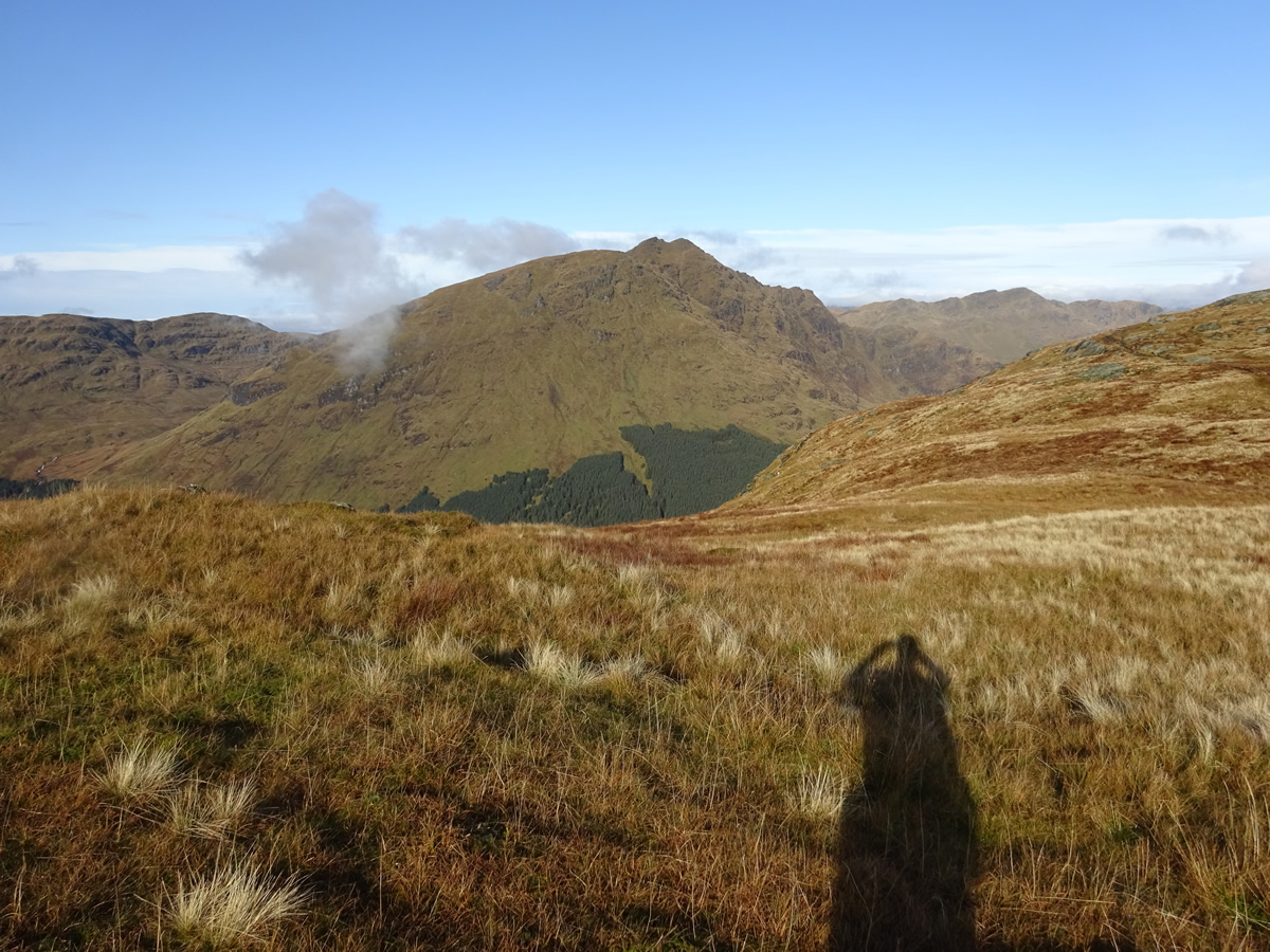
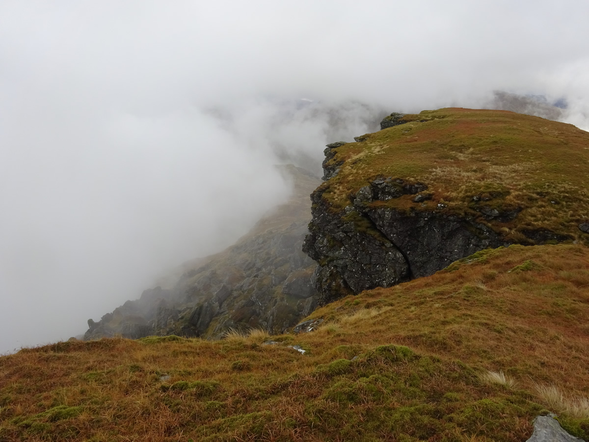
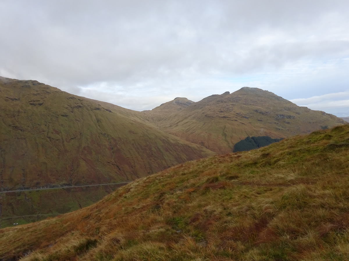
As we re-traced our steps on the descent, we were treated to some fine views as the cloud base descended, and drifting cloud found its way, into, up and over the crags and gullies which define the western edge of the ridge; and still the forecast rain was held at bay as we returned to the car park still dry, albeit, with very wet boots and gaiters.
A great day on a fine mountain in the best of company - Thanks Mhairi.