A'Chrois(849m)
Sunday 12th November 2017
11.5kms
6hrs 30mins
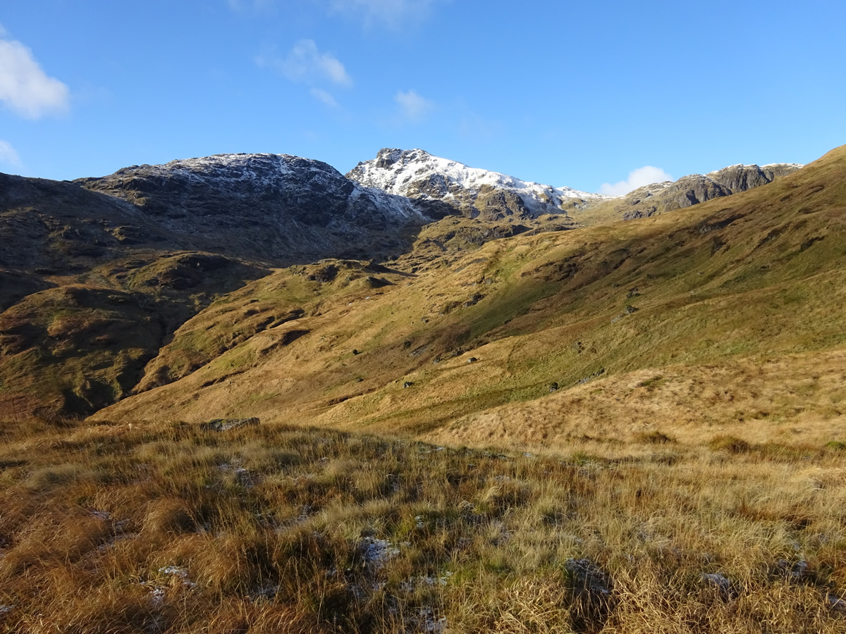
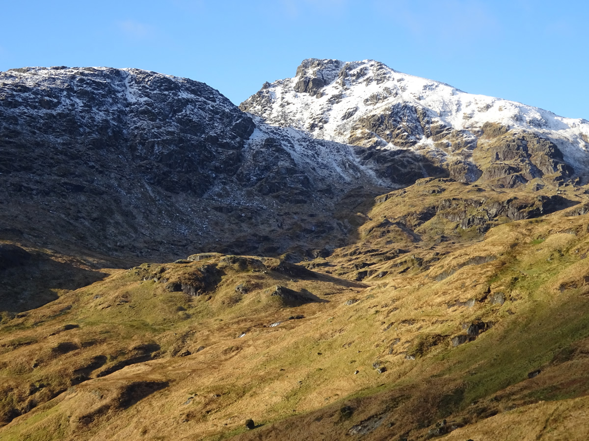
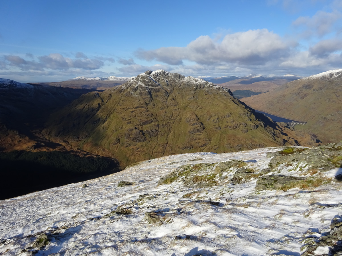
A' Chrois is probably the least visited of all the mountains within the "Arrochar Alps". Reaching a height of 849m it does not have the same status as it's neighbouring Munros; and, although well above the minimum height for recognition as a Corbett, and with steep crags and gullies dropping sharply around almost it's entire circumference, the lowest point on the narrow strip of ridge linking A'Chrois to the northeast ridge of Beinn Narnain rises to a height of 742m, the height separation from summit to the ridge at this single point on its circumference being a mere 45m above the minimum required, and so denying this fine mountain Corbett status. However, today, this mountain stood proud in its dusting of snow and crown of blue sky, offering us superb visibility and a spectacular viewpoint from which to admire mountain views, both near and far.
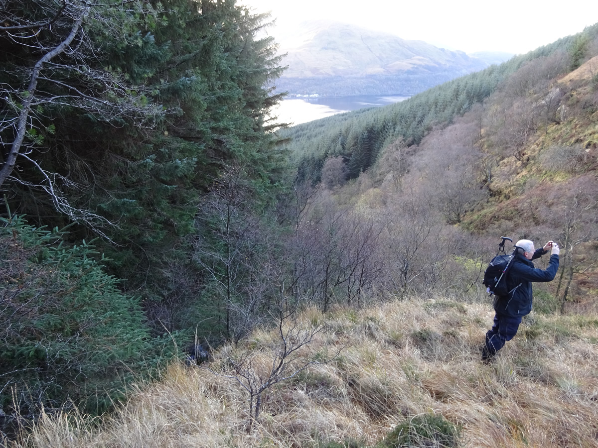
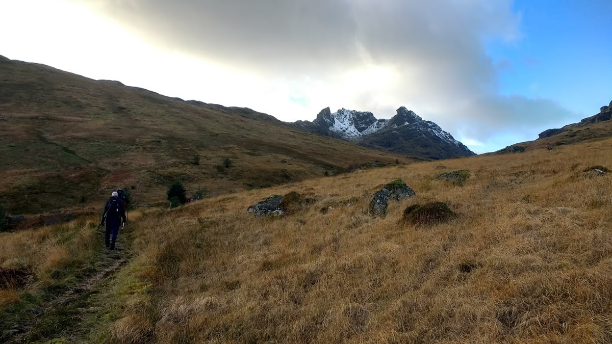
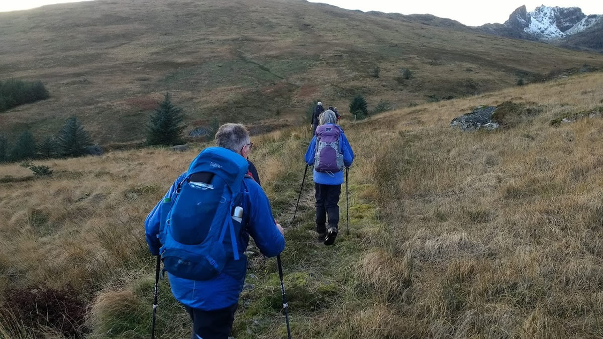
We left Succoth and took the old hydro track up through the trees to the point were it merged with the forestry track contouring the hillside and swung north along the Glen Loin Loop to the small bridge spanning the Allt Sugach. Here, the forest to our left looked steep and impenetrable; however, Mike had done his homework, and as we started to climb up through the forest, the faintest of paths wound its way through the dark, densely packed trees and above the waters of the Allt Sugach until it finally emerged from the forest and into the open hillside beyond the forest boundary.
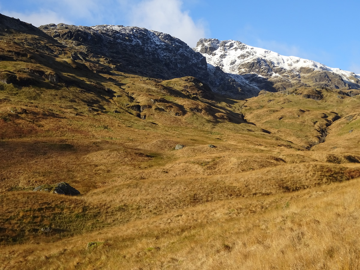
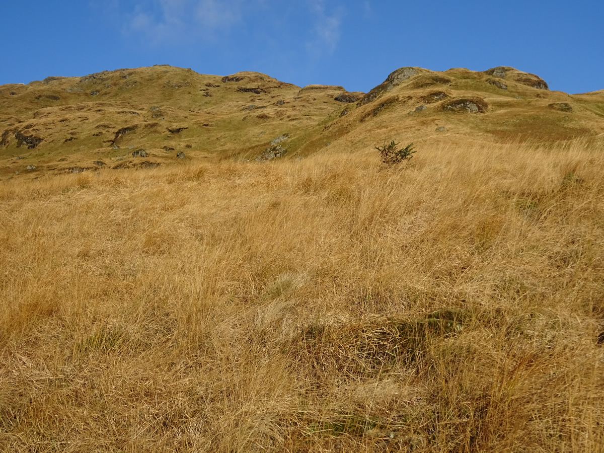
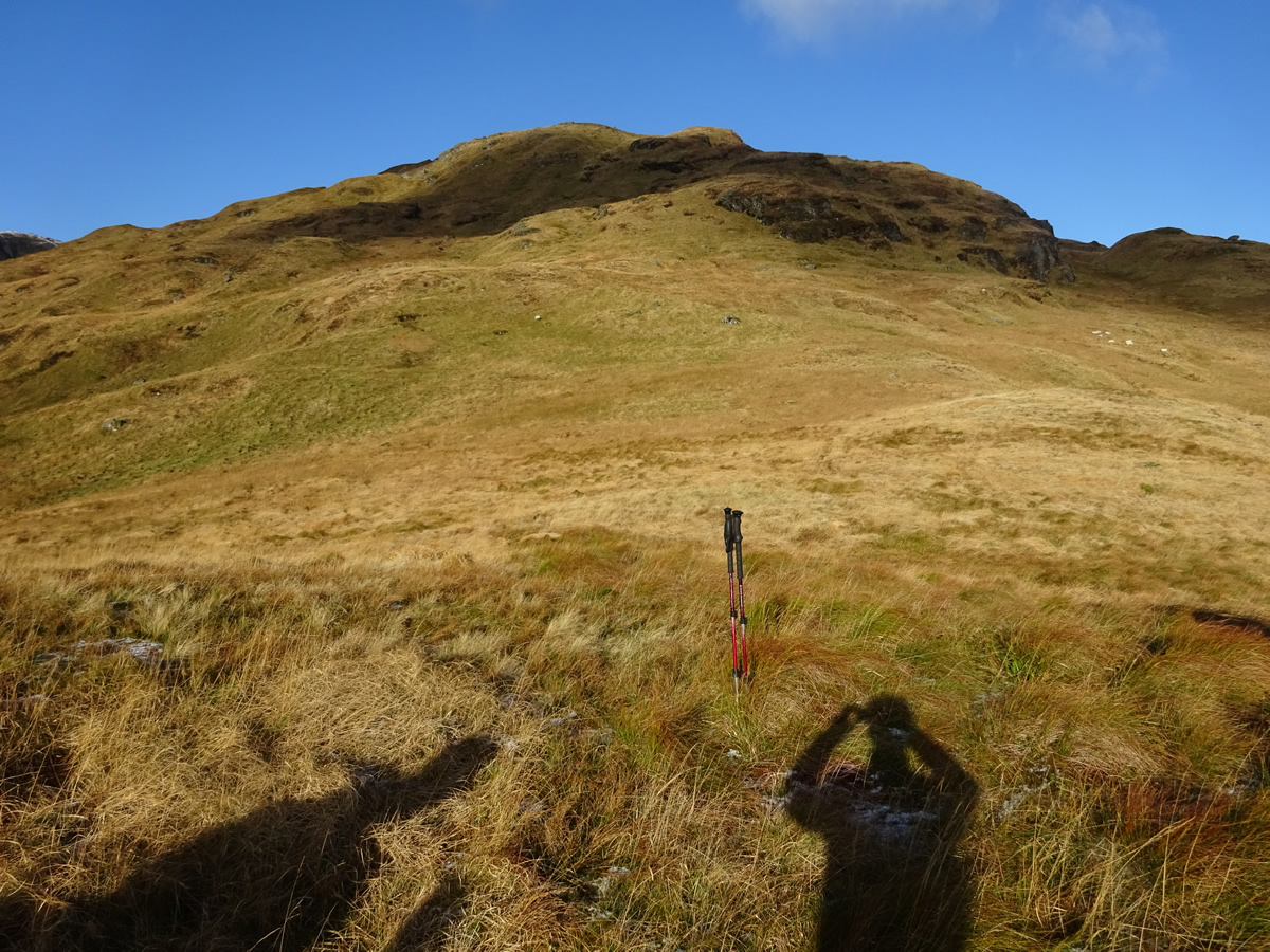
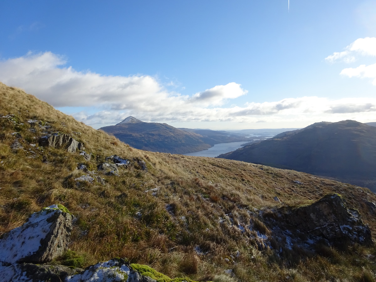
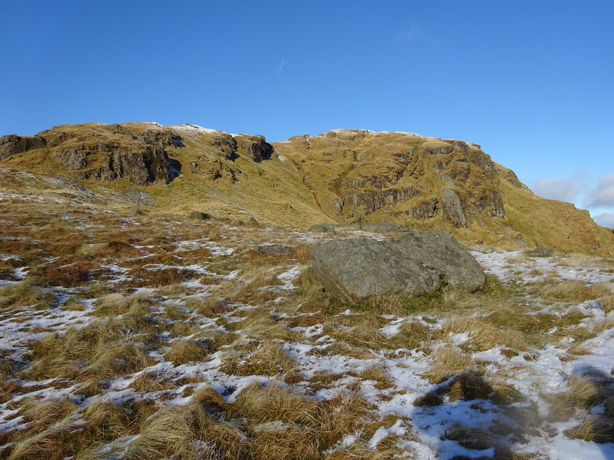
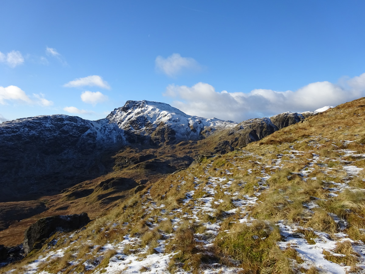
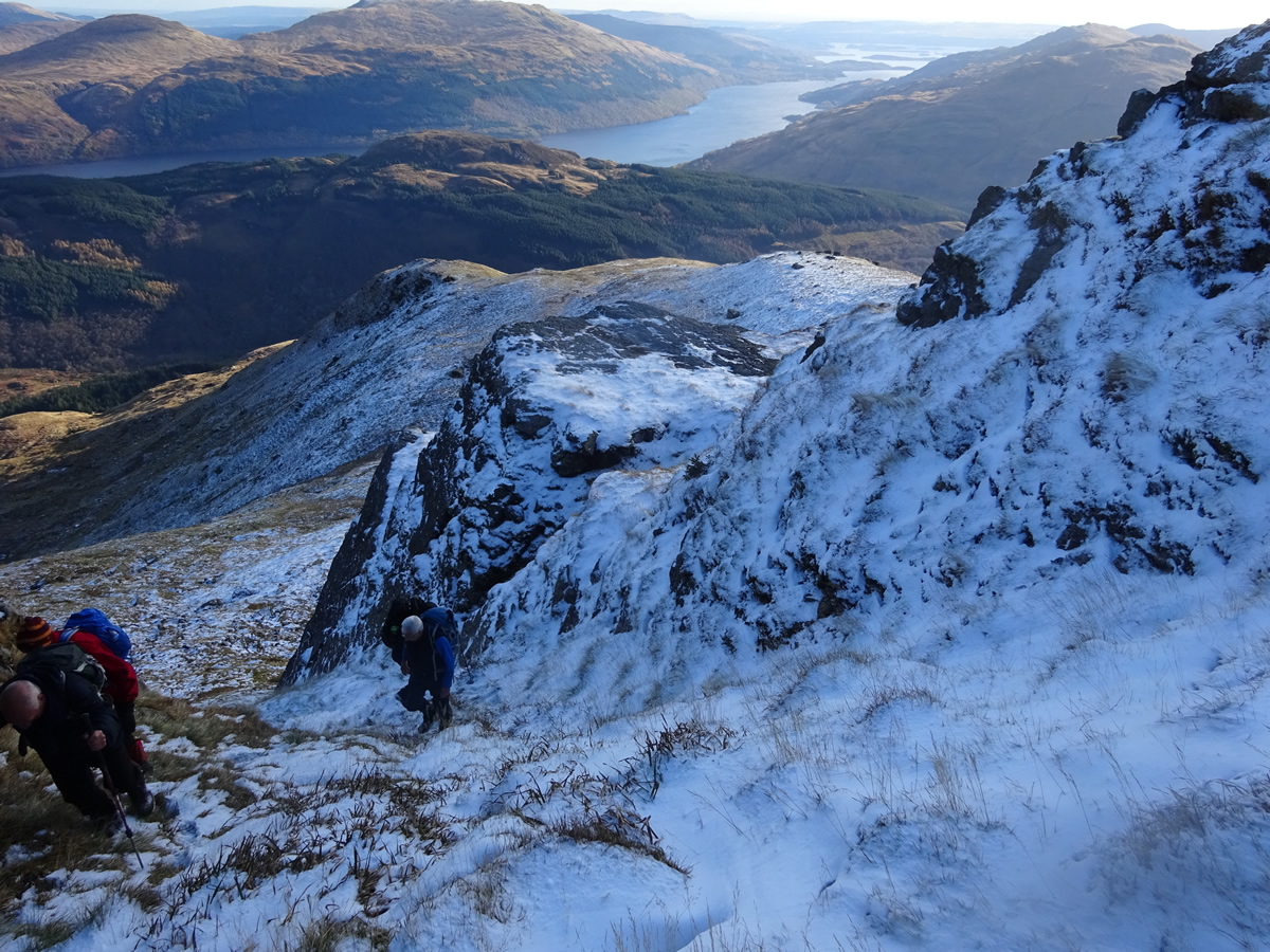
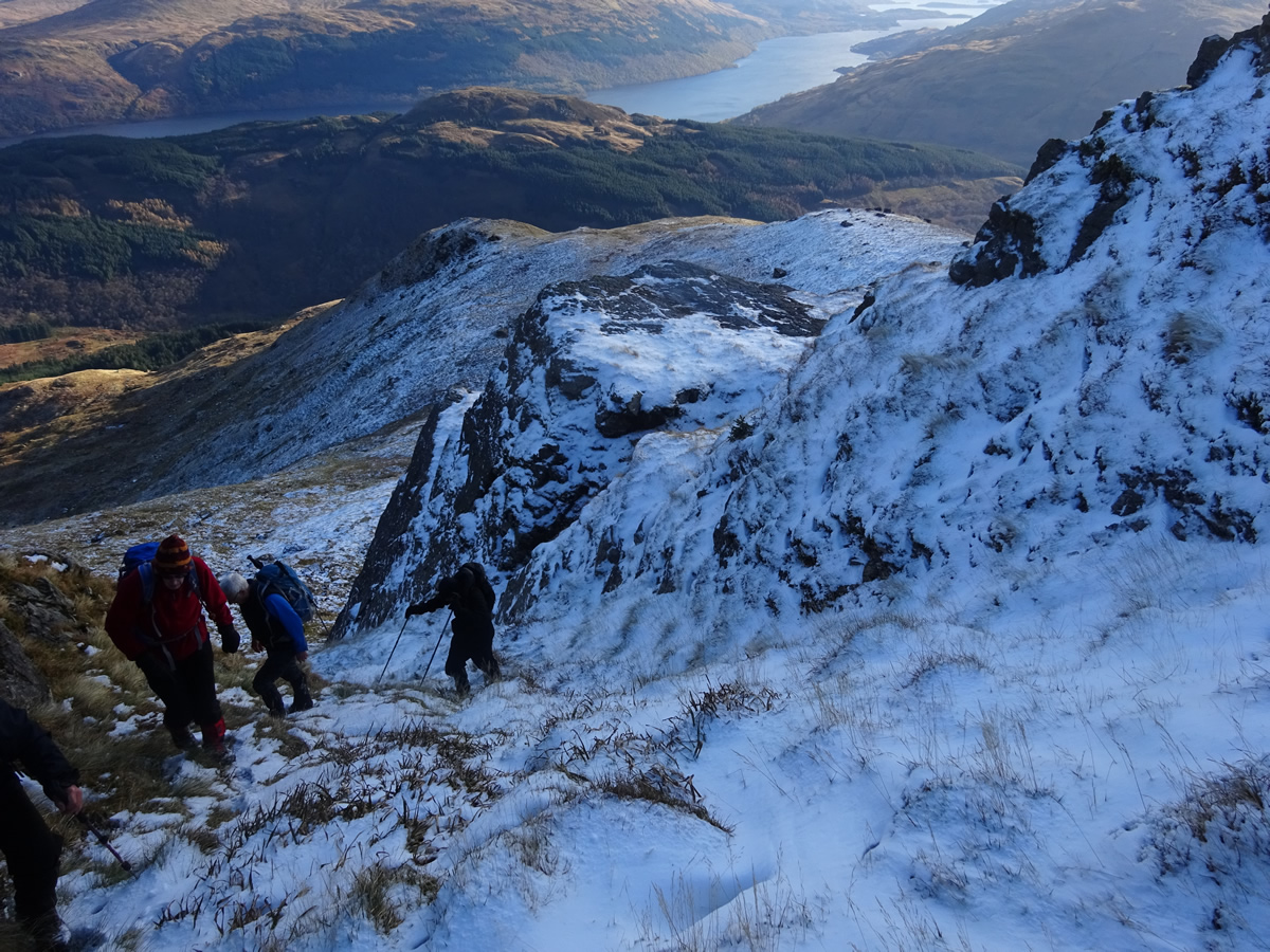
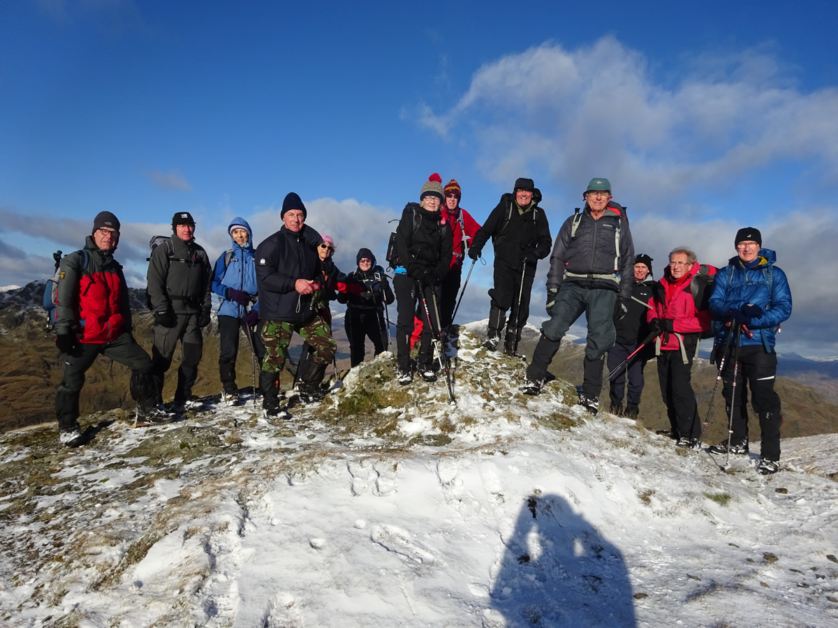
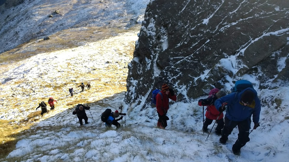
Directly north of us lay the broad grassy ridge leading to the crags of Sron nan Eun. A steady climb over the trackless hillside with ever increasing patches of snow soon had us below a narrow grassy rake, conveniently situated between the rocky crags and up which we climbed to reach the easier slopes for the final climb to the snow covered summit, the photos of which may look bright and sunny, and it was, but what the photos do not show is the bitingly cold and strong wind that blew across the upper hillside; forecast summit temperature, with wind chill, was minus 9, and I think the temperature we encountered may well have been near to that forecast. But, we were not going to be deterred, on such a wonderful day we just hunkered down and enjoyed the views as we opened our flask for a very welcome hot beverage.
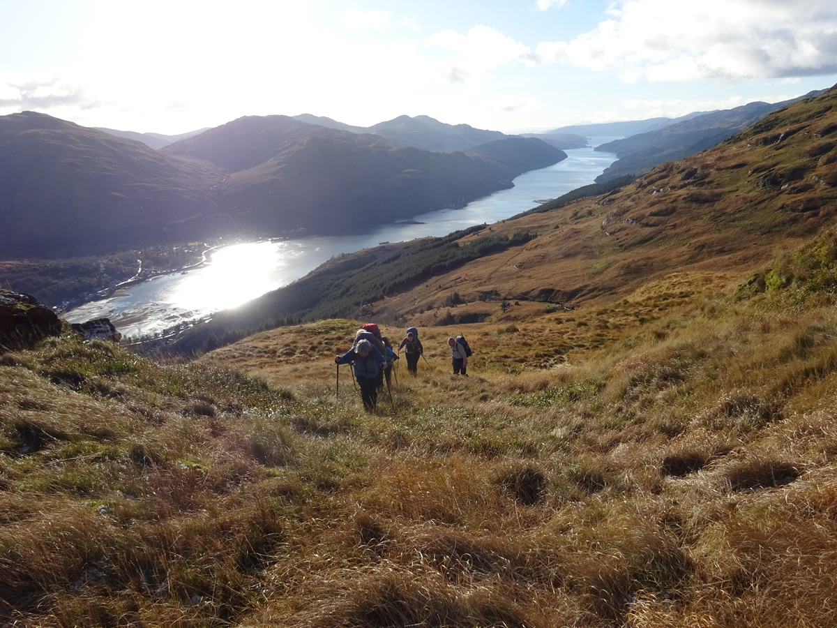
On our return, we retraced our route as far as the upper reaches of Coire Feorline before swinging towards the small hydro dam on the Allt Sugach from were we traversed the hillside below Creag an Fhithich until we joined the Cobbler track for the long descent down the zigzags and back to Succoth.
A wonderful day, sunshine, clear skies, a smattering of snow and a route that gave us everything from forest paths to crags and even a small river crossing - Just brilliant, thanks Mike.