Ben Vorlich (Loch Lomond)(943m)
Sunday 8th October 2017
14kms
6hrs 30mins
Some mountains have that magic to retain their appeal whatever the weather, and, Ben Vorlich achieved that status today, as even in low cloud and misty conditions it was able to provide us with a superb day in the hills.
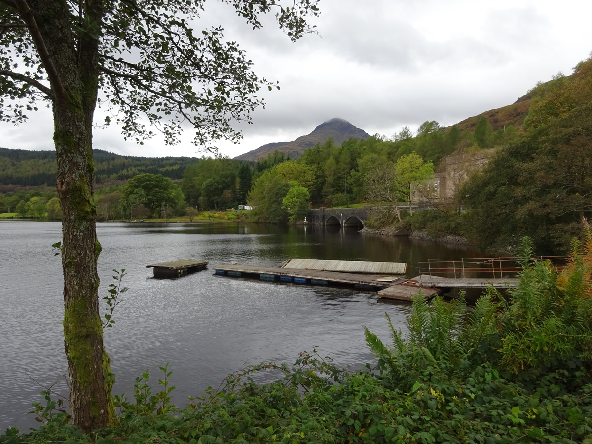
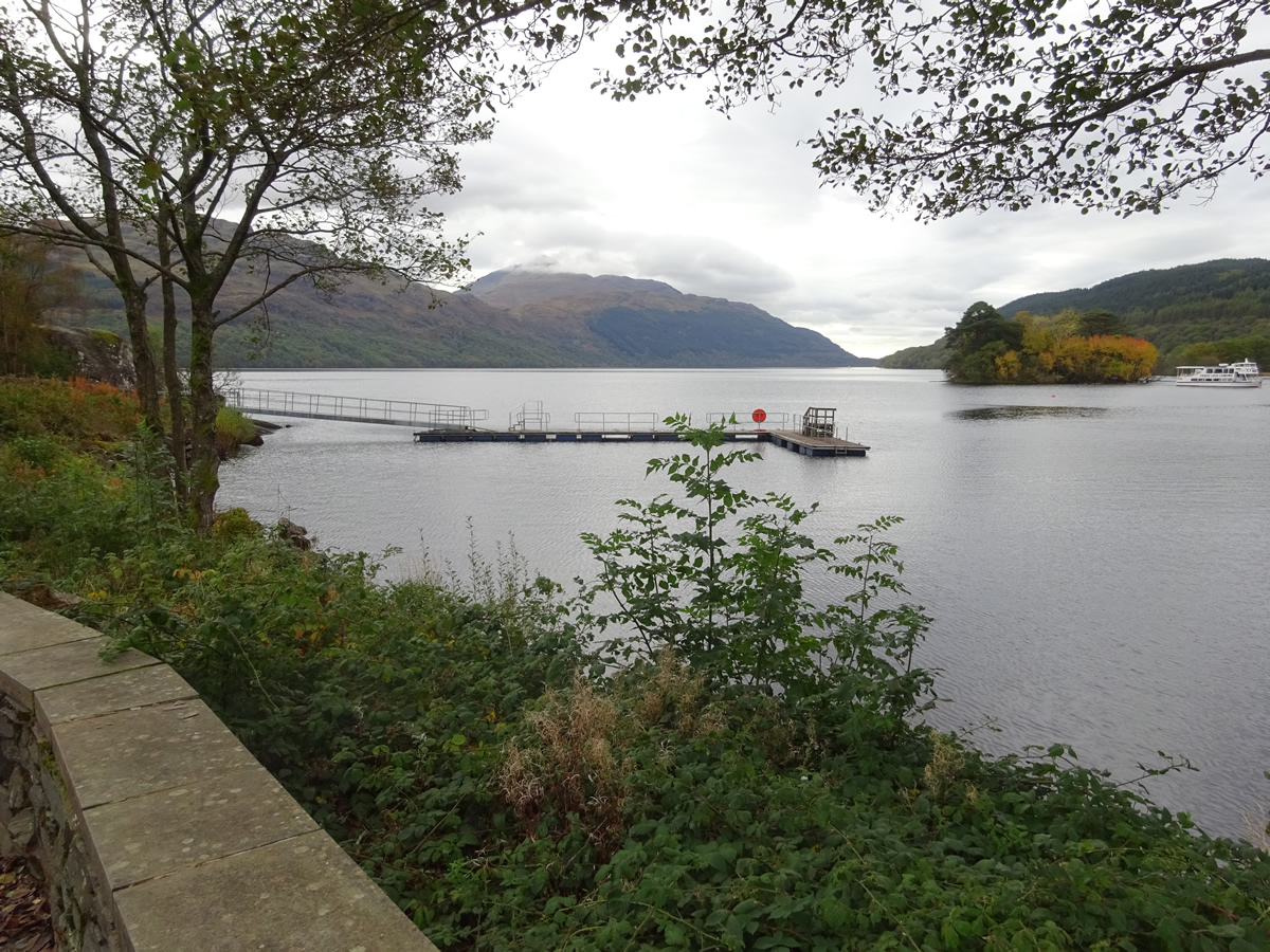
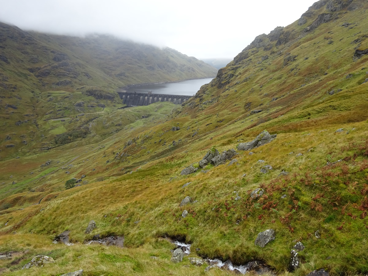
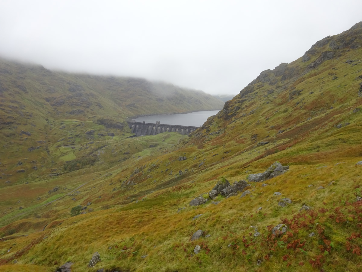
Taking the Loch Sloy hydro track from Inveruglas, the initial few kilometres of this walk are on a good tarmac track, not everyone's favourite, but when undertaken in good company and a relaxing atmosphere the time and distance passes almost un-noticed and you are suddenly within shouting distance of the massive stone structure of the dam across the head of Loch Sloy and alongside the cairn which marks the point where tarmac is left behind and the open hillside beckons.
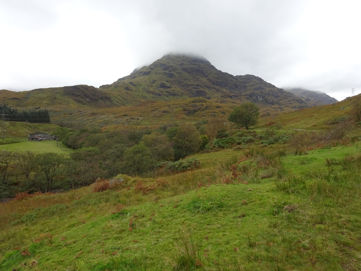
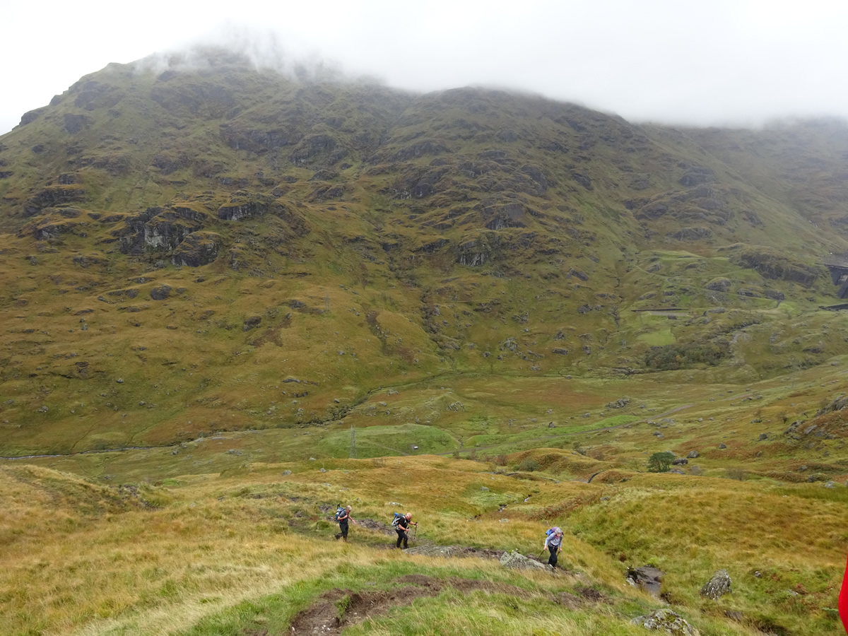
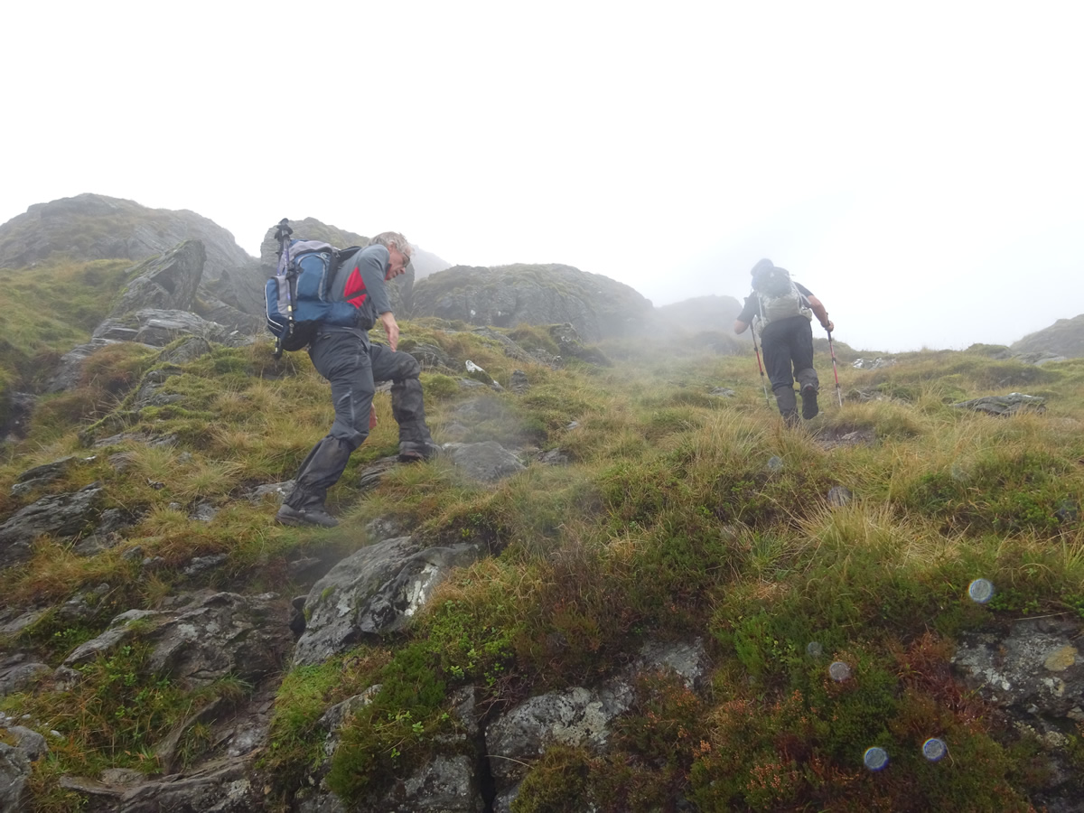
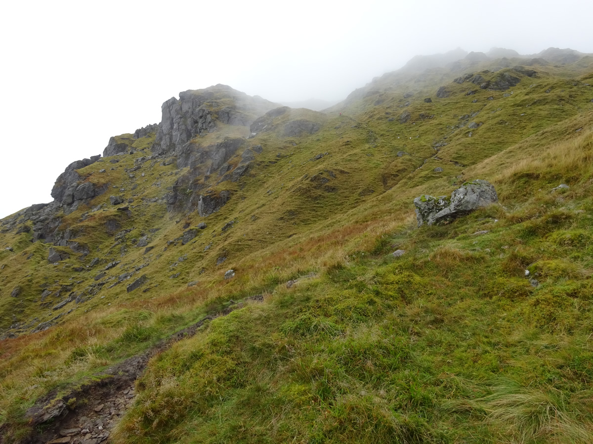
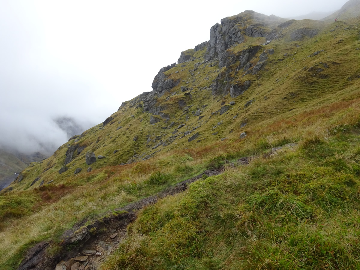
Ahead lies an almost unrelenting ascent of a broad, open area on the hillside, marked on the OS maps with the name Lag Dubh. I was initially about to call this a coire , but the features on the map do not equate to those of a coire; and so I enlisted the aid of Google, and according to Scotland Places, the definition of Lag Dubh is: "A name signifying the "Dark Hollow" applied to a slight depression in the South side of Ben Vorlich". So, there we have it, we ascended this slight depression via a rough track which took us almost directly up the south side of the depression until around the 500m height where the path then rises across the head of the depression and into an area of more defined rocky knolls above the crags of the west face of Ben Vorlich.
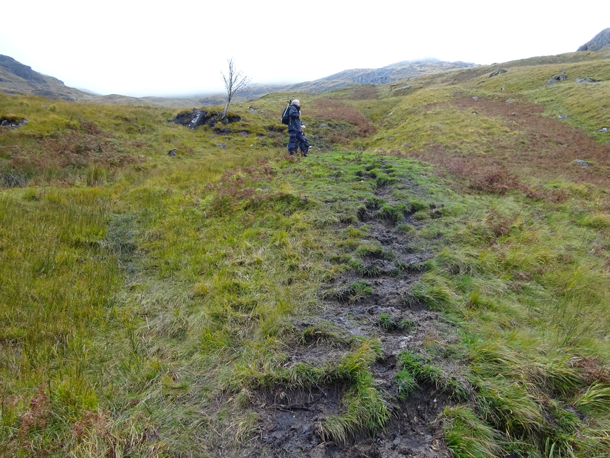
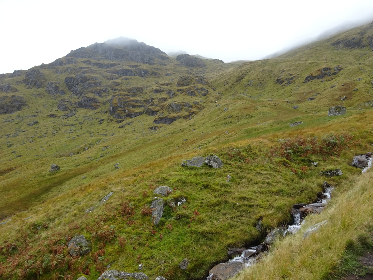
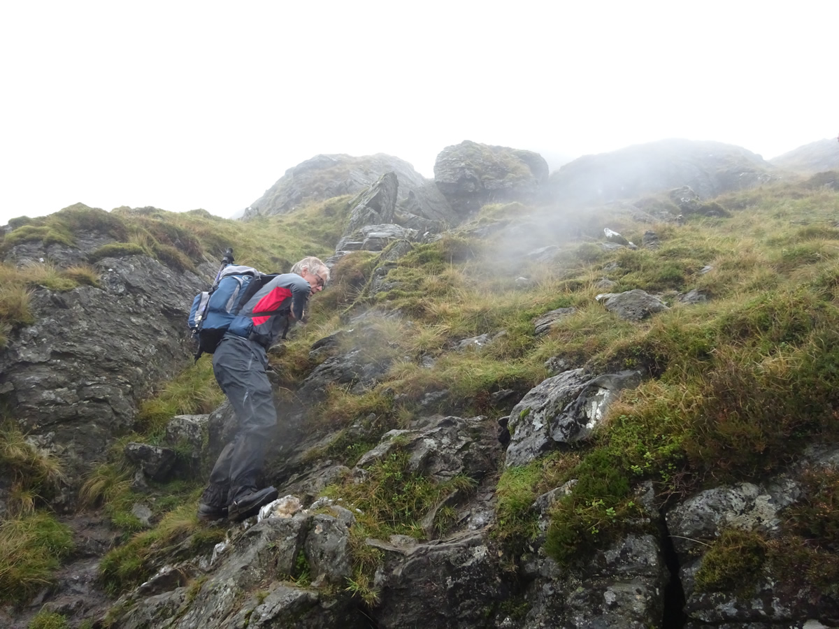
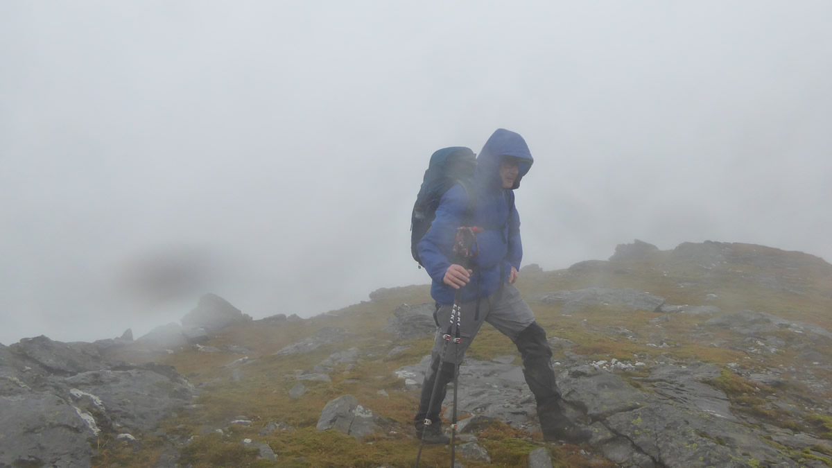
The path continued to twist and turn for a further 300m of ascent as it wound its way up through these knolls, the features of which were none too clear as by now we were well inside the low cloud base with visibility considerably restricted by the accompanying mist and heavy moisture. Finally, as we gained an altitude of about 800m, the ridge became more defined, the gradient eased, and it was then a matter of determining where on the summit plateau the high point was.
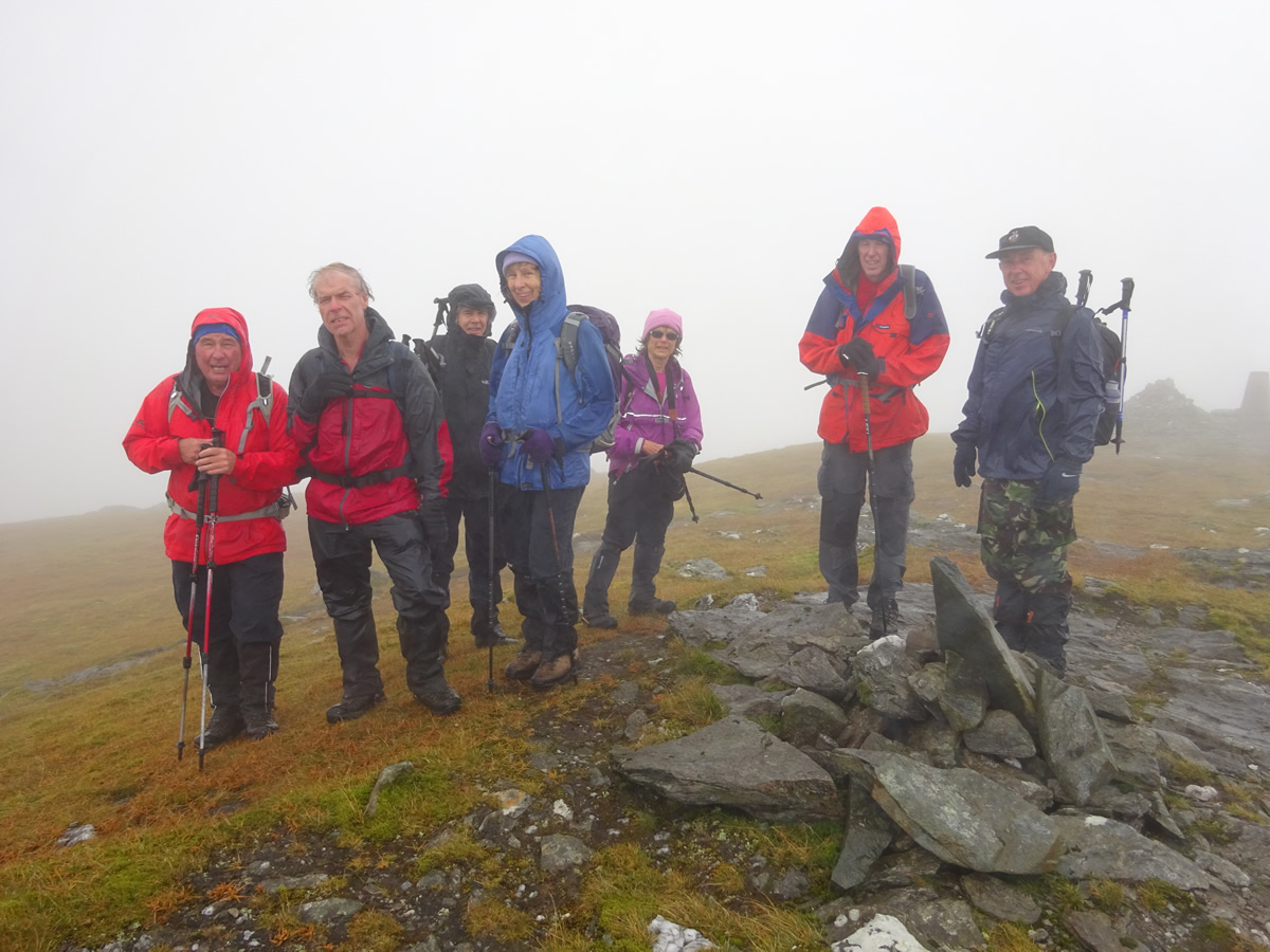
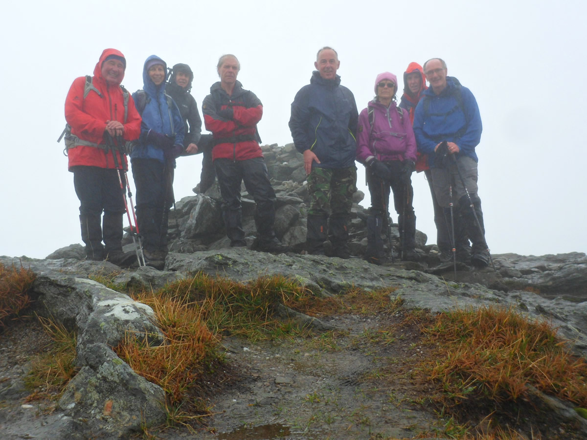
Why? Well Ben Vorlich is one on those hills which boasts a Trig Point which, unusually, is not on the high point of the plateau, the Trig Point has a spot height of 941m, whereas, if you proceed north for about 200 metres beyond a shallow depression an obvious rocky knoll can be found, literally in our case as it loomed out of the mist, upon which sits a fine cairn, and the spot height at this point is 943m, some 2m higher than the Trig Point, all of which adds to the magic of this mountain.
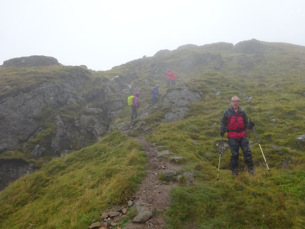
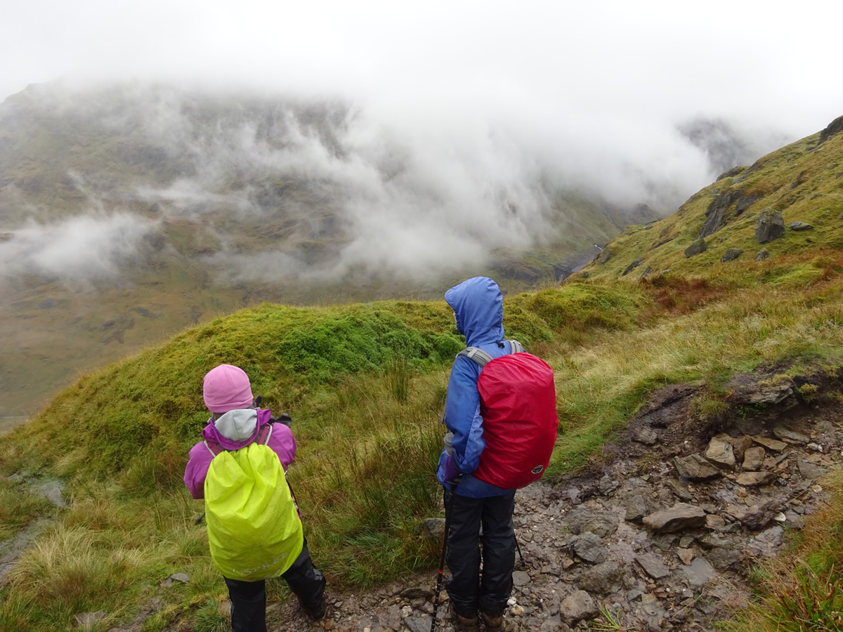
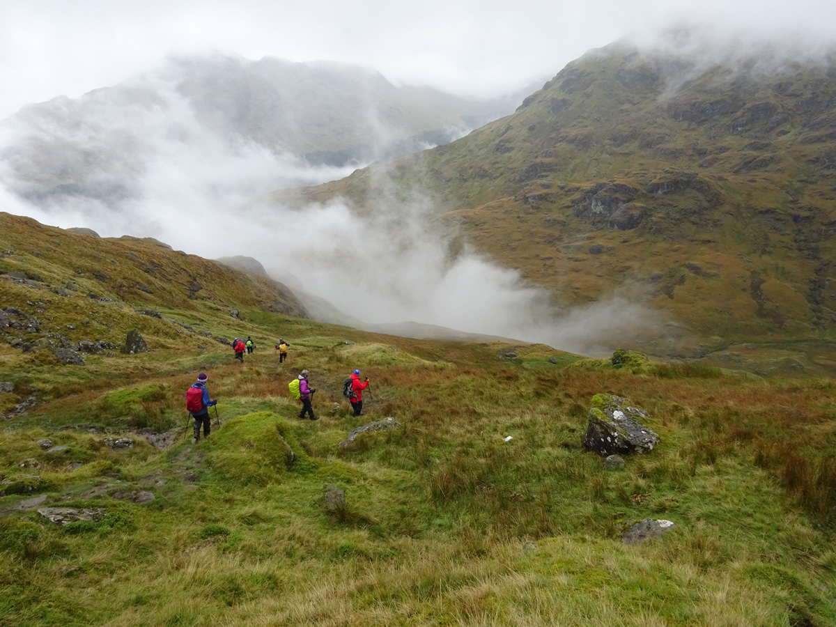
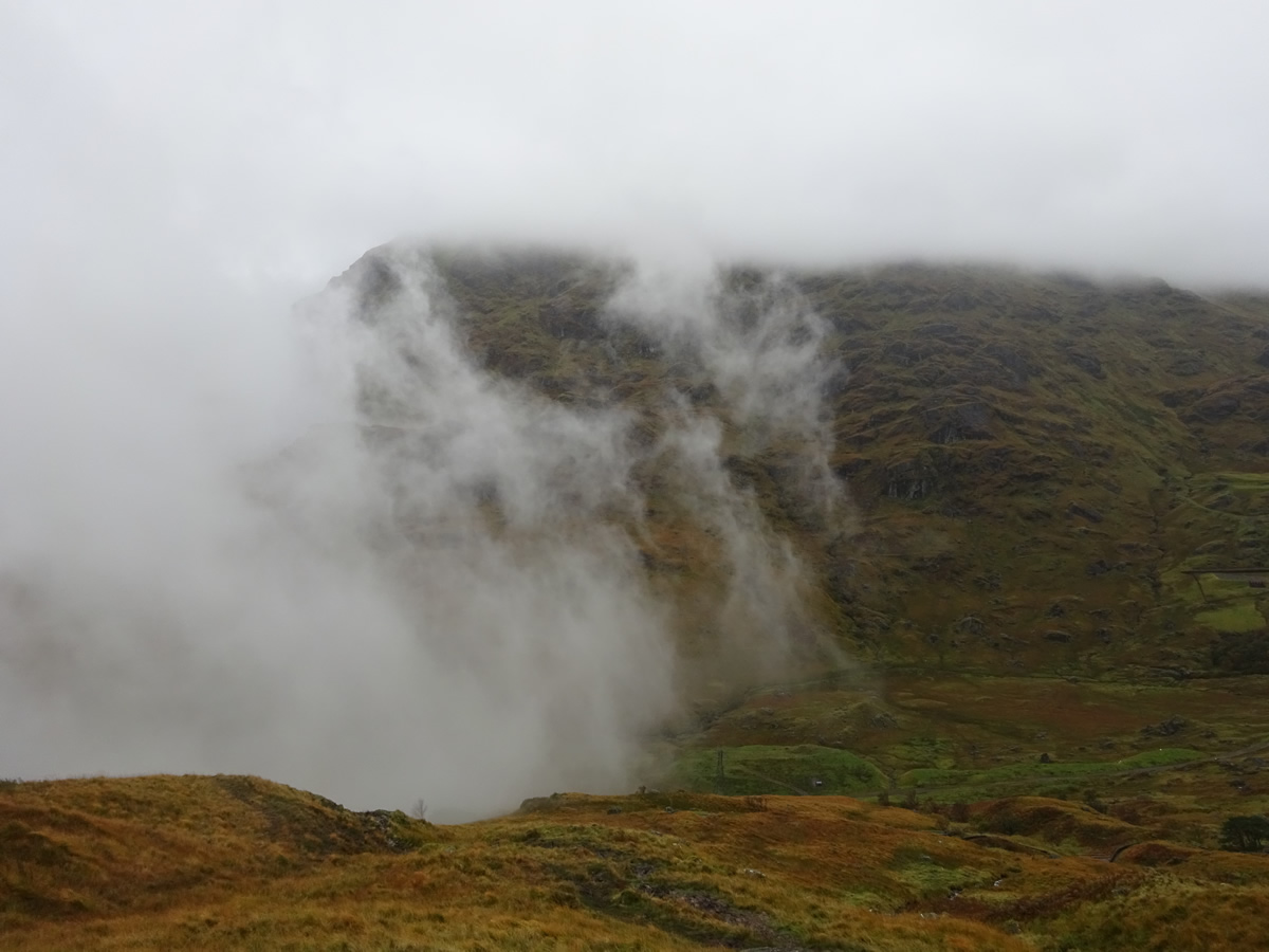
Despite the mist and heavy moisture laden air, we had a pleasant break in the rocks around the summit before retracing our steps for the descent; with a few more surprises ahead of us, as, with the shifting mist and low cloud, we had ever changing views of this fine mountain, and later as we descended back below the cloud base, drifting mist gave the glen and dam a haunting look as they reappeared through the gloom.
Thanks Idris for a great walk and to everyone for your company on this fine mountain.