Beinn Ime from Inveruglas(1011m)
Sunday 17th June 2018
19kms
8hrs
The idea for today's route was born from an aborted day on Ben Vane earlier in the year, when strong winds and rain forced us to stay at low level, and we just wandering up alongside the burn flowing from Lag Uaine, the low bealach between Ben Vane and Beinn Ime. That day, we only ventured a kilometre or so up towards the bealach, however, it was enough to whet our appetites to explore this area in greater detail at a later date.
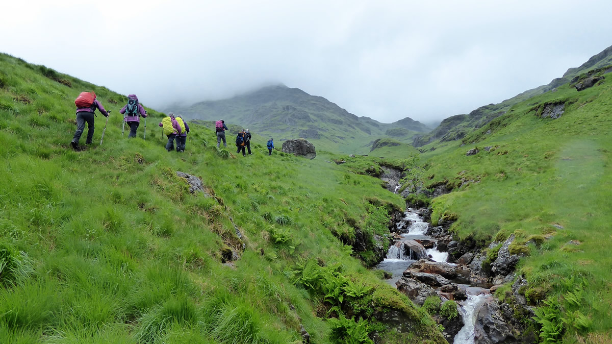
A steady walk from Inveruglas, along the Loch Sloy approach road, and then onto the good track which forms the Glen Loin Loop around the base of Ben Vane soon had us at the small dam and water intake just before the gate and fenceline where the track enters the well established forest which hugs the lower slopes of A'Chrois. A steep section of rock rises to the left of the dam up, alongside the waterfall, and it was here that we scrambled up to gain the gently rising grassy slopes above the waterfall. The scramble was relatively easy, apart from the need to fend off the midges which swarmed around your head as you climbed up through the tufts of grass amongst the crag.
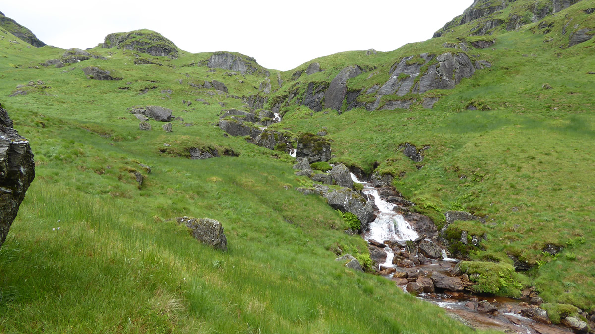
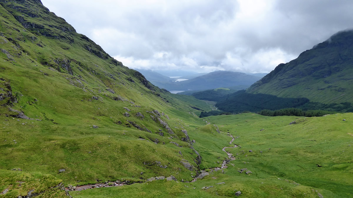
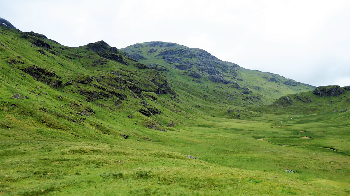
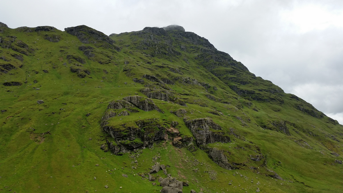
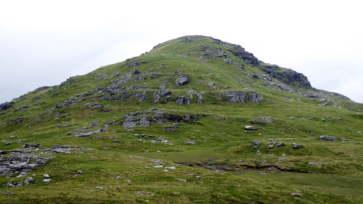
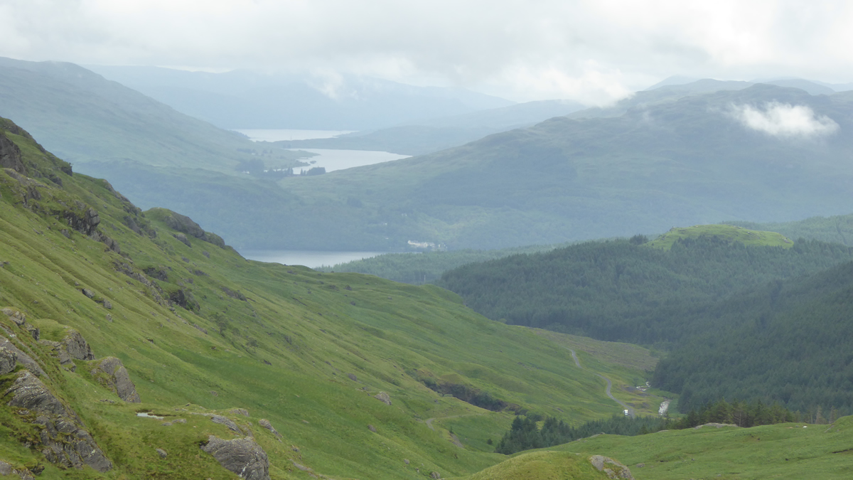
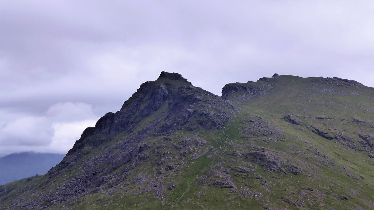
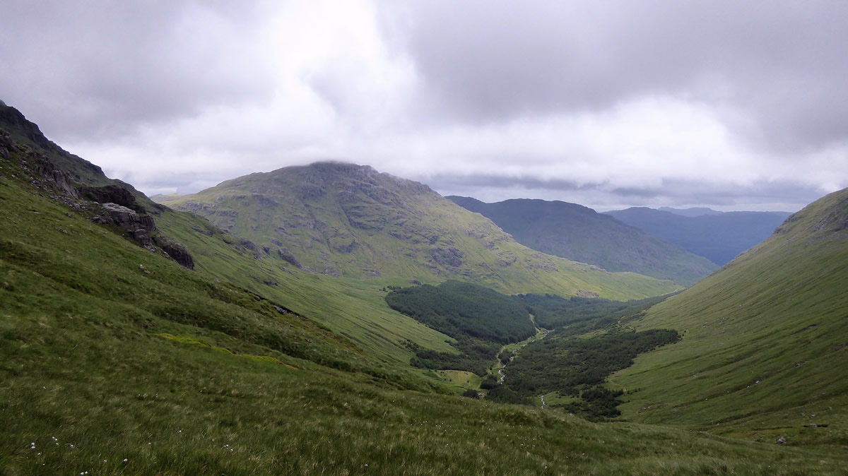
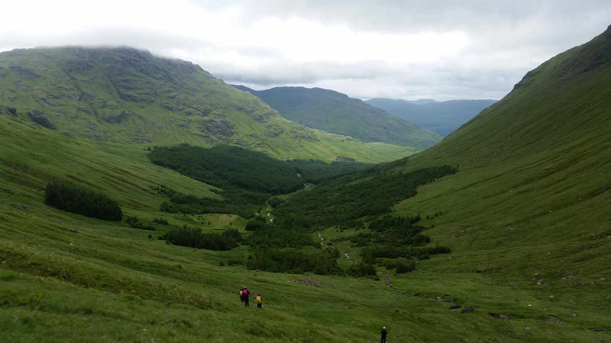
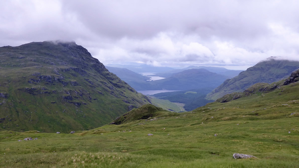
Above the waterfall, the whole scene changes; ahead lies a broad, gently sloping grassy glen, flanked on the right by the steep, rocky crags of Ben Vane, and to the left by the equally steep and rocky north east ridge of Beinn Ime. Ahead, in the distance, as the glen narrows, the prominent 490m high knoll appears on first sight to be a barrier to any further progress beyond its crags. However, as you gain height and follow the course of the burn and draw nearer to the knoll, a very obvious grassy rake rises from left to right across and up the crag, above which there is a surprisingly large flat grassy area from which the view back down the glen towards the dam and beyond, is quite beautiful. Today, even with the low cloud and mist we had a wonderful view stretching beyond the forest, over Loch Lomond, Loch Arklet and the waters of Loch Katrine - spectacular!
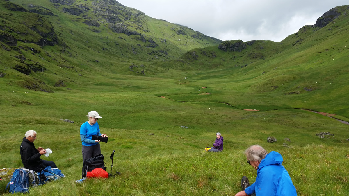
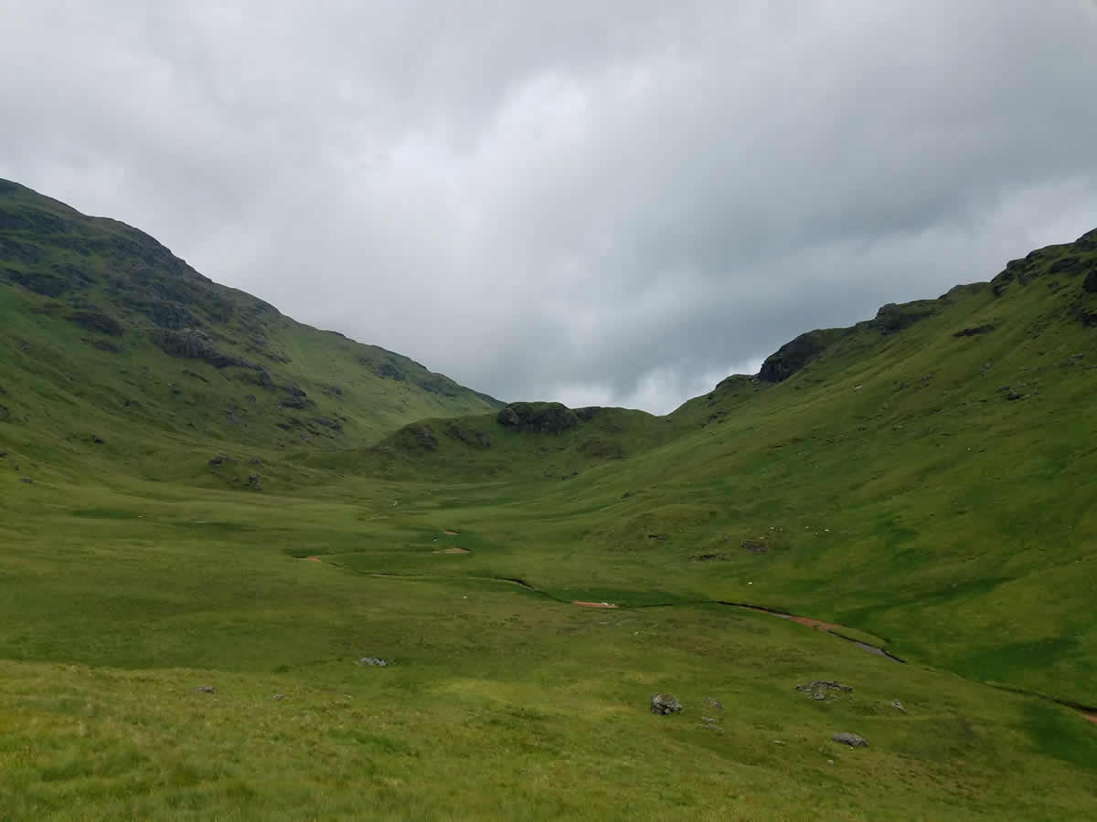
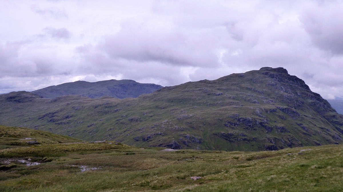
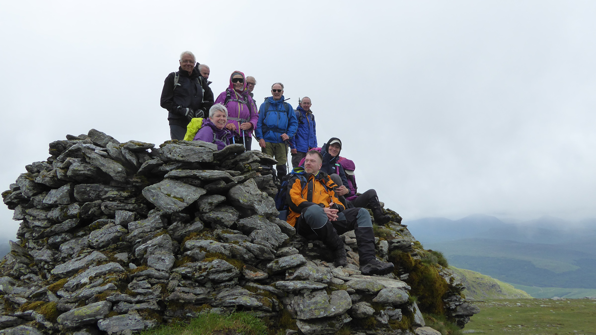
And there was more to come. From this fine little top, ahead of us lay Lag Uaine, a secluded area of pure green grassland, a hollow surrounded on all four sides; to the left, the crags of Beinn Ime, to the right, crags of Ben Vane, directly ahead, a neck of crags, the last remnants of Ben Vane's west ridge, with the fourth edge being our viewpoint, the 490m knoll.It was on this delightful spot that we paused to enjoy a break and some welcome refreshment during which it was commented upon how lush and green this area was. How observant of us, a fine way to describe such an area. Pity none of us spoke "The Gaelic" - as a quick check on Google for Gaelic mountain and hill names dispelled any doubts; Lag Uaine simply means, "Green Hollow" - And there are fairies too - "the use of uaine frequently indicates a brighter shade of green which is perceived to be unnatural or even supernatural." - "the lochan acquired its conspicuous green colour when Dòmhnall Mòr, the king of the fairies, washed his clothes in the water" - "Similarly, Lag Uaine ‘green hollow’ near Arrochar containing a pool is also reputed to be the site of a secret fairy dye-factory. When the people of the district became curious about the fairies’ work, and came up Beinn Ime to spy on them, the fairies quickly dumped their dye in the pool, turning it a bright green colour." (Gaelic Place Names - Alison Grant https://thebottleimp.org.uk/2015/06/gaelic-place-names-words-meaning-green/?print=print). Wonder if it was the same fairies that sprayed Alan's new van? I digress, back to the walking.
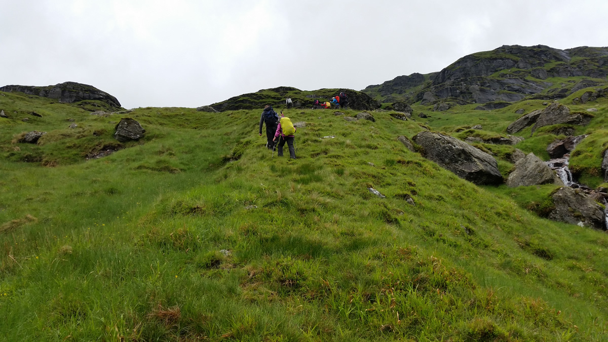
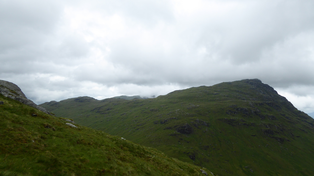
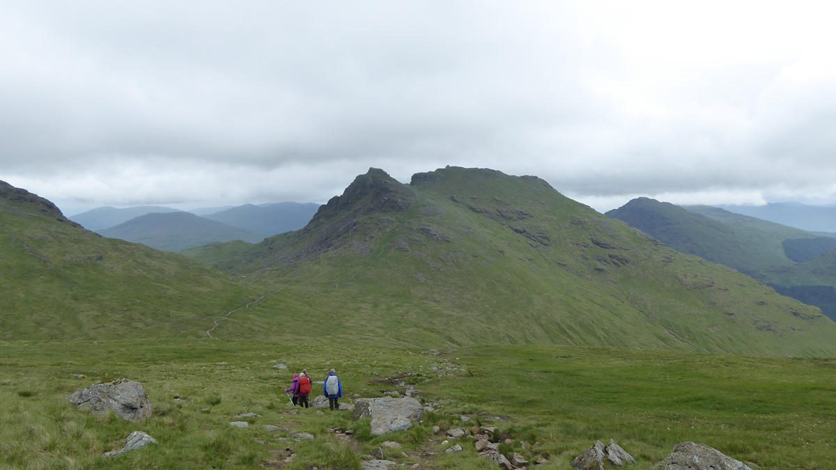
Leaving the 490m top, we crossed to the far end of the Lag Uaine to a point where three small, but distinct, burns flow down from Glas Bealach, and, crossing the first two, we headed up, alongside the third burn skirting the crags, above which the gradient eased a little on the final rise to Glas Bealach, a fine viewpoint between Beinn Chorranach and Beinn Ime. And, so to the final climb of the day, up the rocky north face of Beinn Ime to the huge wind shelter on the 1011m summit; the windiest and coldest part of what had been until now a dull, but quite pleasant day.
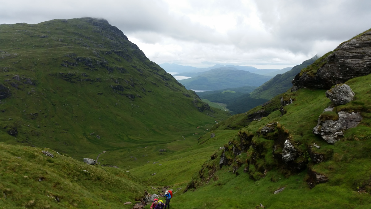
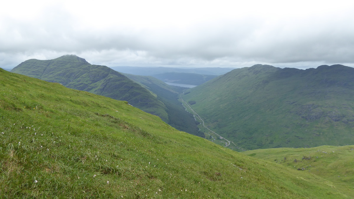
We scurried rather sharply from the windy summit, and descended the well trodden path down to Bealach a'Mhaim where we swung north east to make our descent down very steep grassy slopes to re-enter the forest and rejoin the Glen Loin Loop track, back passed the dam and waterfall, for what was to be a wet return as drizzle quickly turned to quite heavy rain as we made our way back to Inveruglas.
I had anticipated this walk as being an interesting one, and it did not disappoint, and I hope everyone enjoyed it as much as I did.
Thanks everyone for you company; and thanks also to those who provided me with the photos, my camera having decided not to work for the day.