Beinn A'Chochuill(980m)
Sunday 10th November 2013
14kms
7hrs 30mins
Earlier in the week we had identified Sunday as the better day of the weekend and decided that Beinn a'Chochuill would make a good day out. Keeping a watch on the week's weather, it seemed that by Sunday we could expect a covering of snow above about 600m or so. Come Sunday, we were about to find out just how much snow had actually fallen.
A 3½km walk-in on the hillside track through the Castles Estate makes for a relatively gentle climb for the first 400m of ascent, and gives you a chance to admire the views over the Allt Mhoille towards the rugged bowl formed by the sweeping ridges of Beinn a'Bhuiridh and Stob Diamh. There was a smattering of snow around the roadside as we drove over the A85 towards Dalmally, but by the time we were at around 300m height on the track, we were walking over a good covering of snow, significantly lower than our expected 600m height, and it was obvious from the hills around us, there was going to be a lot of snow ahead.
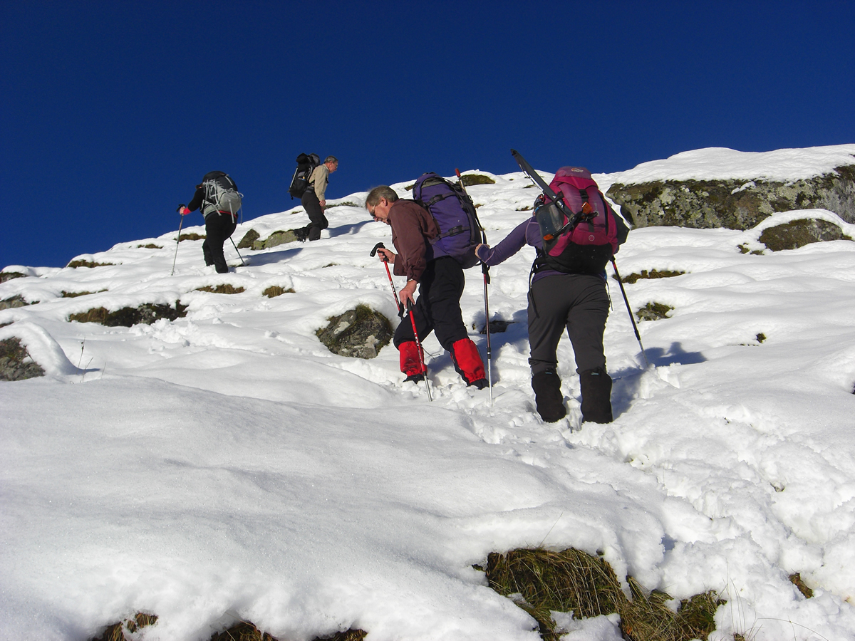
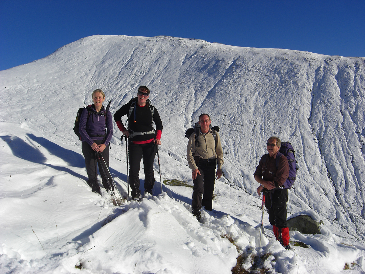
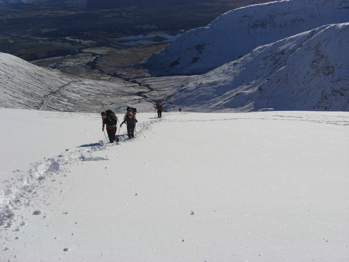
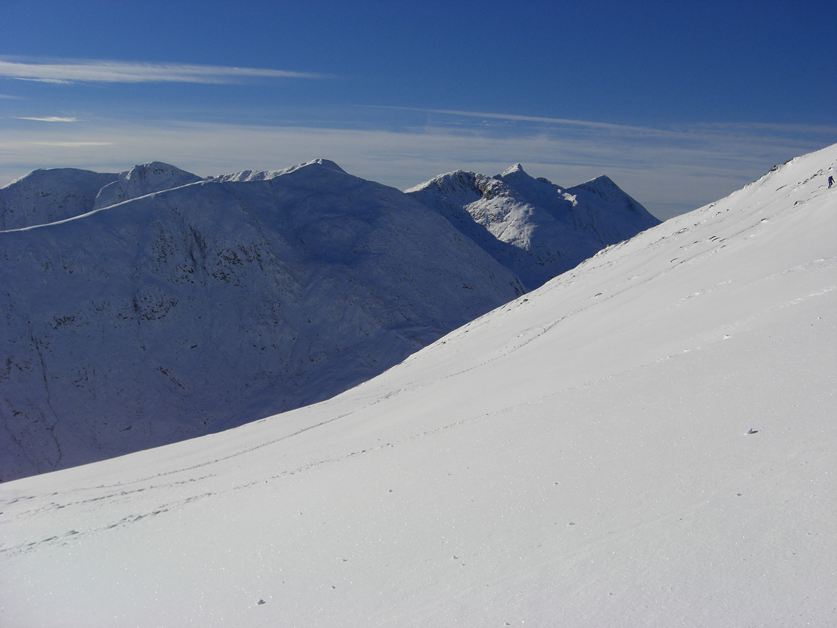
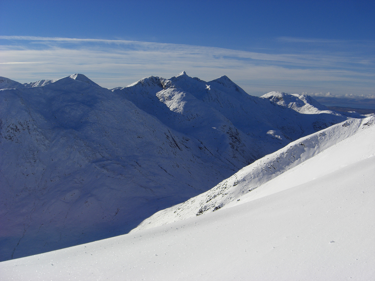
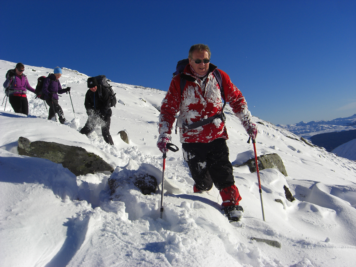
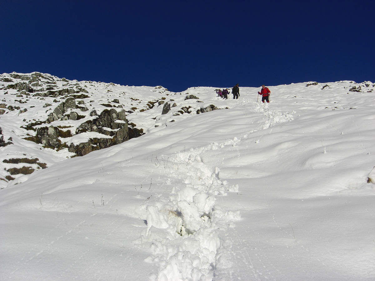
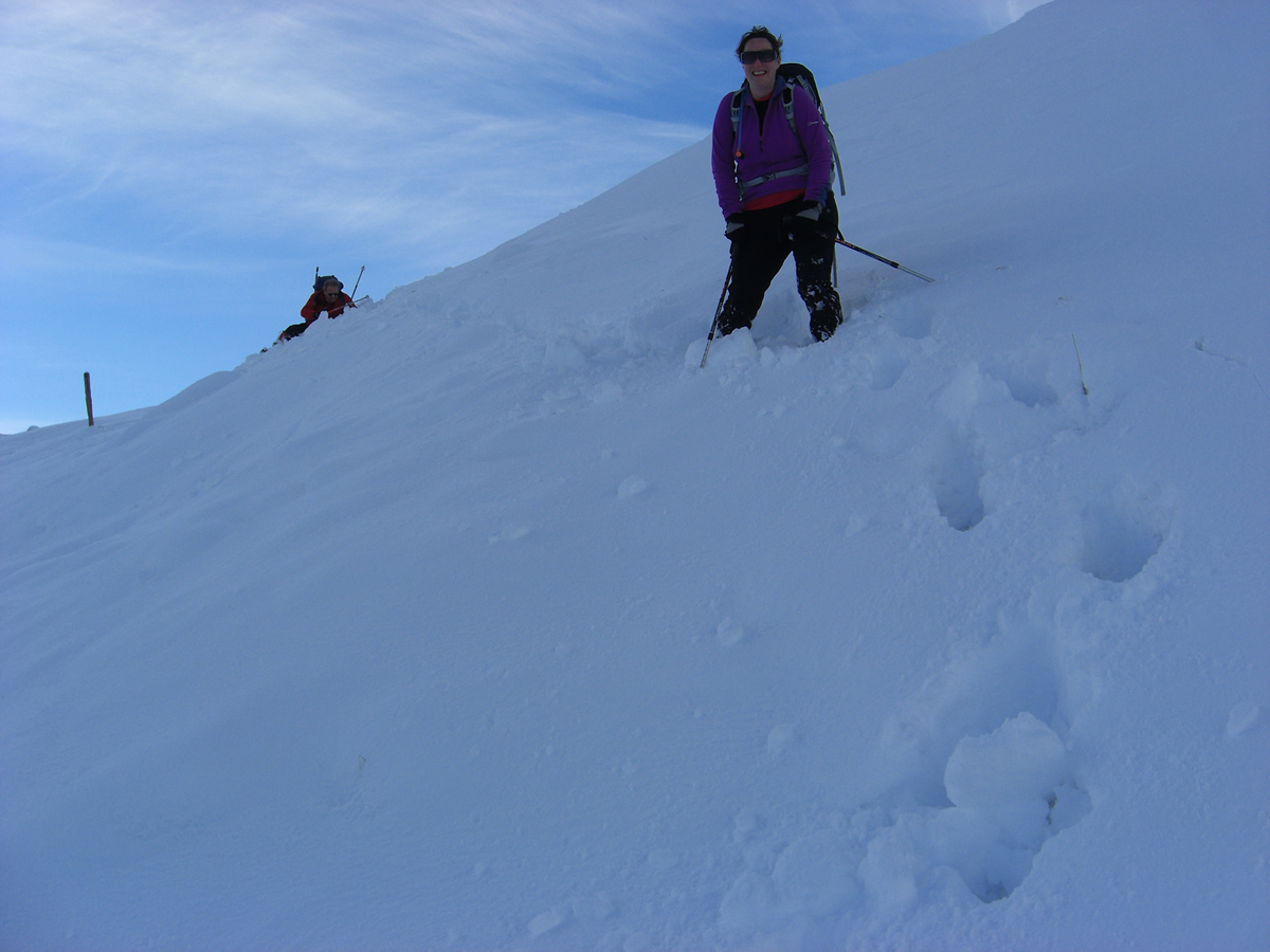
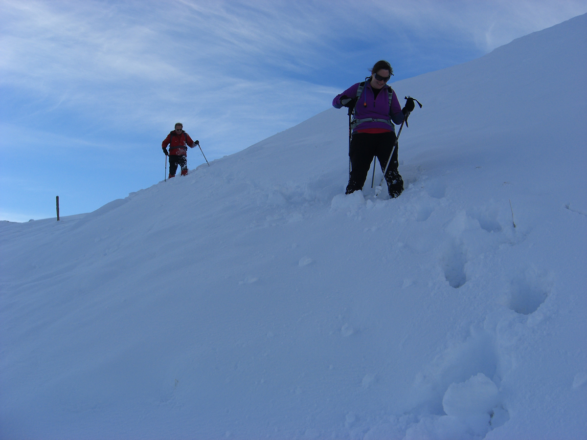
The track dips slightly, crosses the Allt Lairig-lanachain and then splits as a hairpin bend takes you on uphill towards a tunnel entrance serving one of the many underground hydro pipelines associated with the Cruachan dam and power station. Shortly before the tunnel entrance, we left this good track and took to the open hillside and started out on the steep climb towards the distant ridgeline. If there is a path here then the heavy covering of snow obliterated any sign of it, and so we just wound our way upwards picking our way between a few rocky outcrops and some sections of very deep snow. As we ascended and gained height, the views over distant snow covered hills mapped against the bluest of blue skies just stopped us in our tracks, who could not be impressed by such a dramatic landscape.
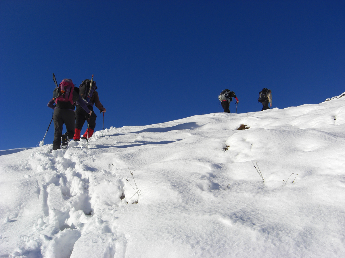
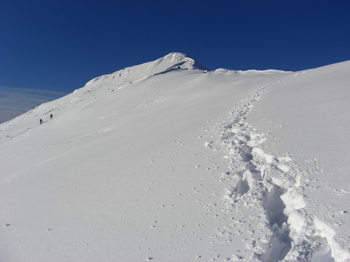
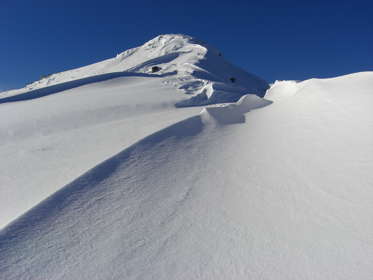
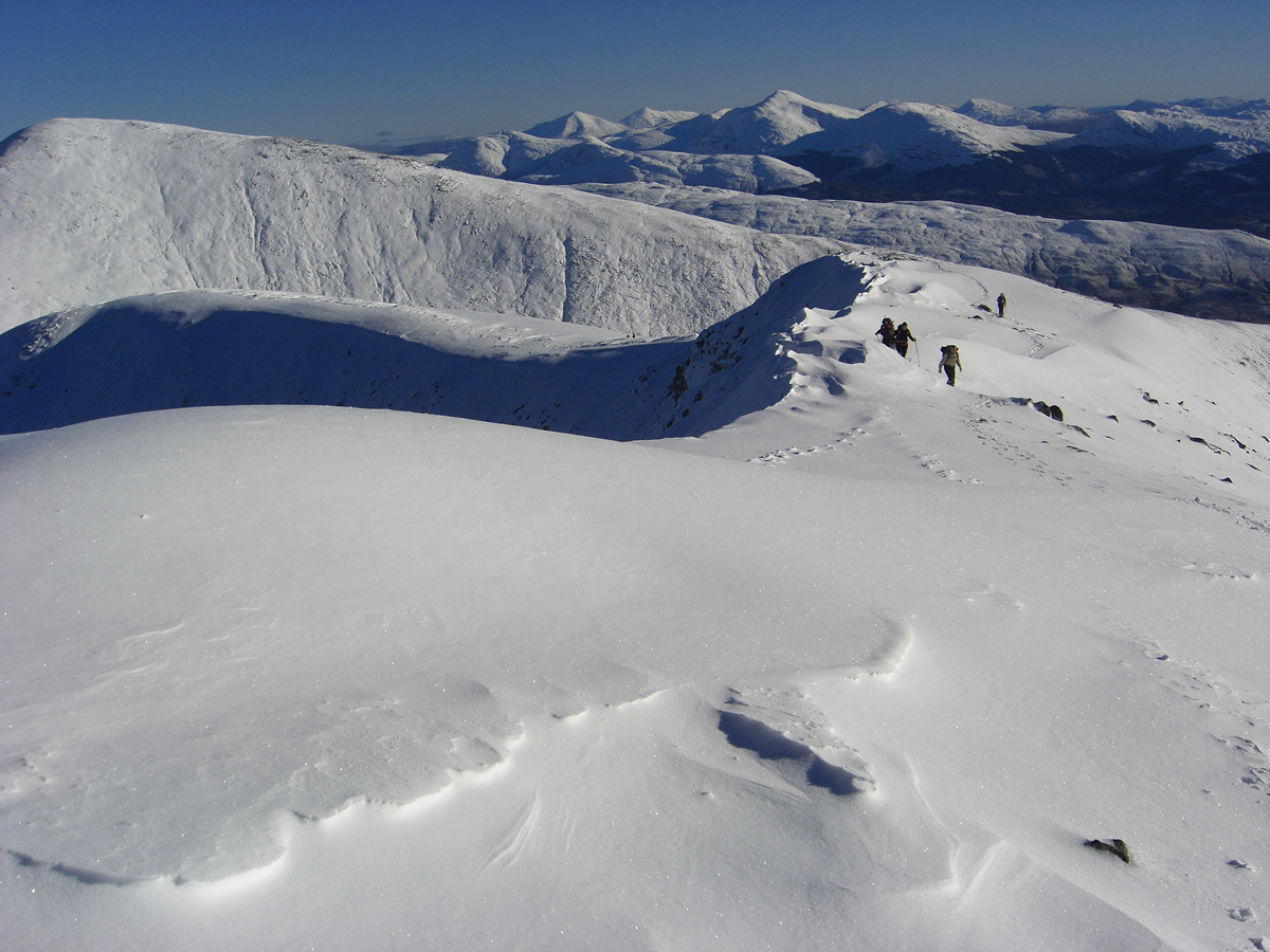
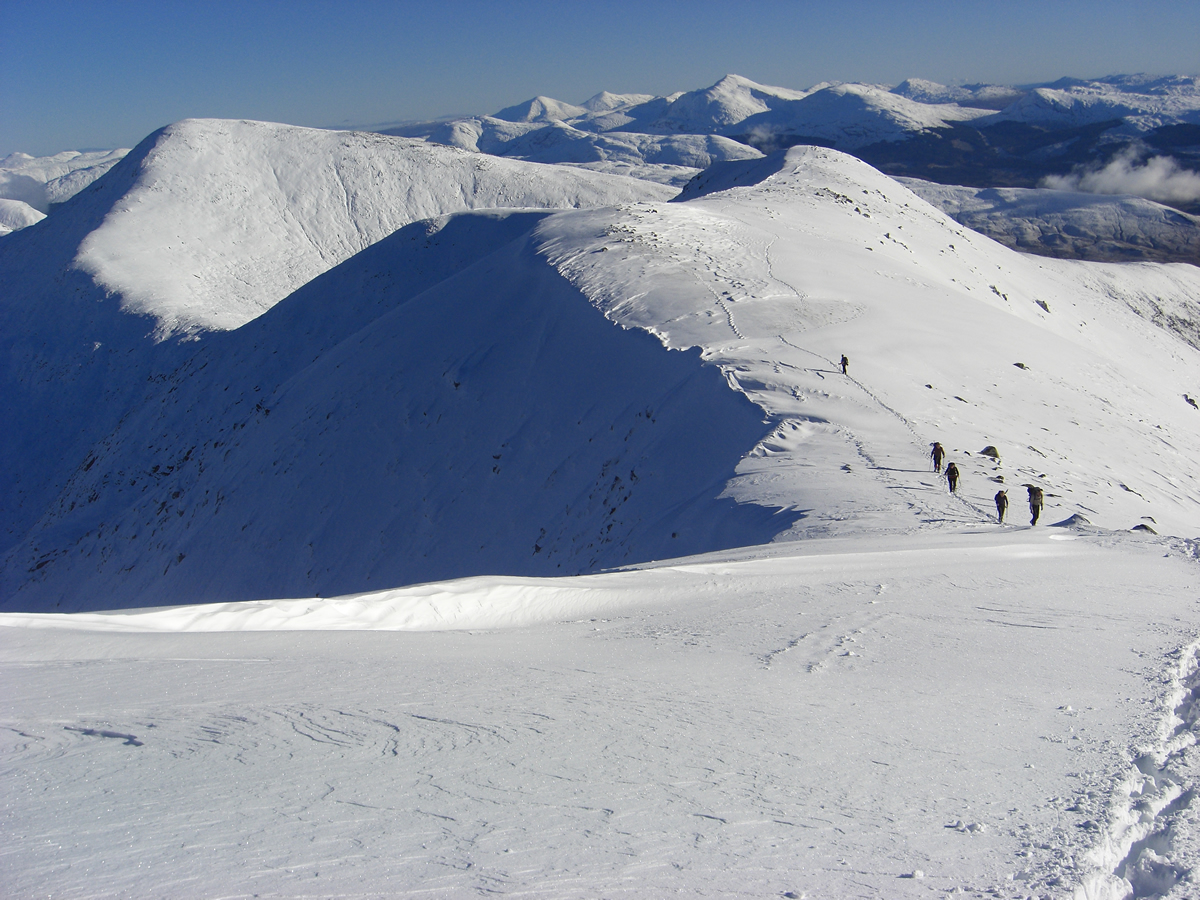
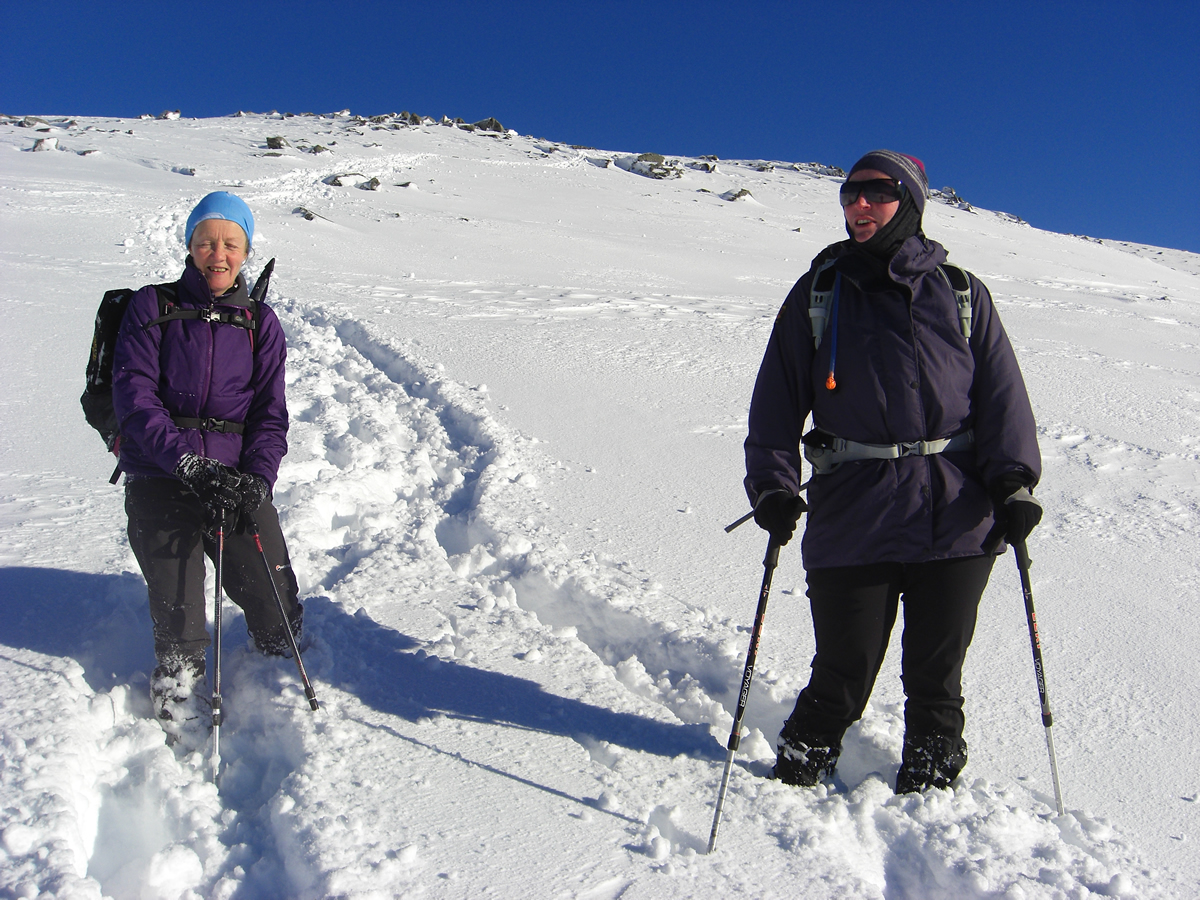
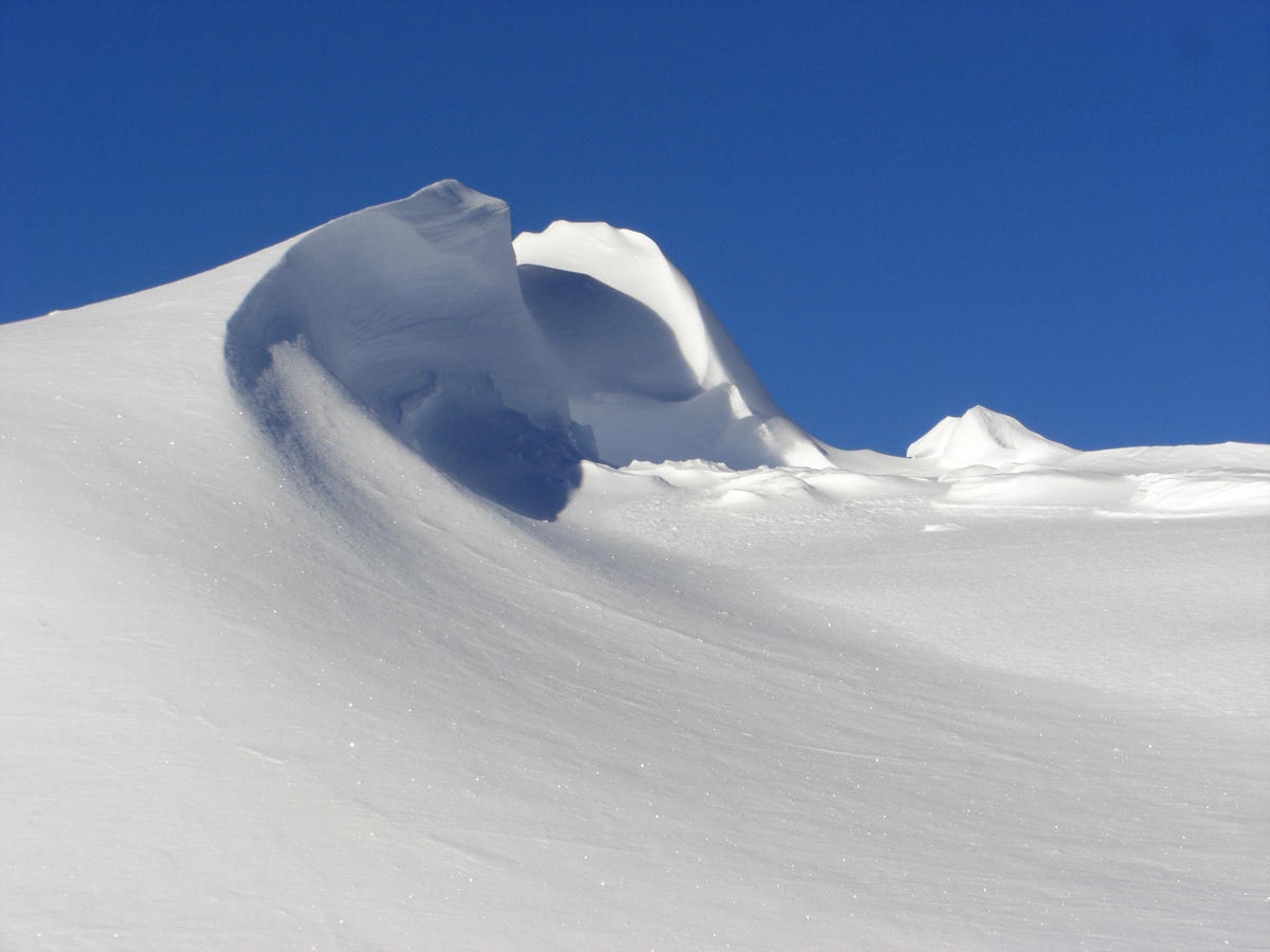
On the steep hillside, the snow was generally around 10cm deep and did not hamper our progress. However, things changed as we approached the ridgeline and we started to encounter some very deep sections where we were often plowing through knee-deep snow, with a few drifts exceeding a metre in depth. We could have stayed below the ridgeline and by-passed the deeper snow, but we were determined to take in the full ridge, and so fought our way through the deeper snow to reach the ridge and continue along its course. Our efforts were well rewarded, some virgin snow for us to negotiate plus some amazing wind sculptured snow banks along the edges of the ridge, well worth the additional effort.
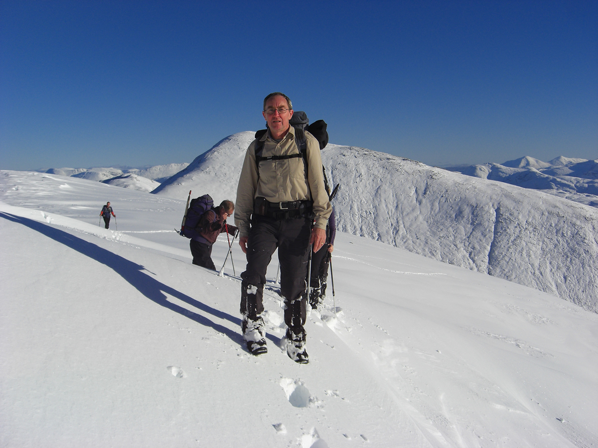
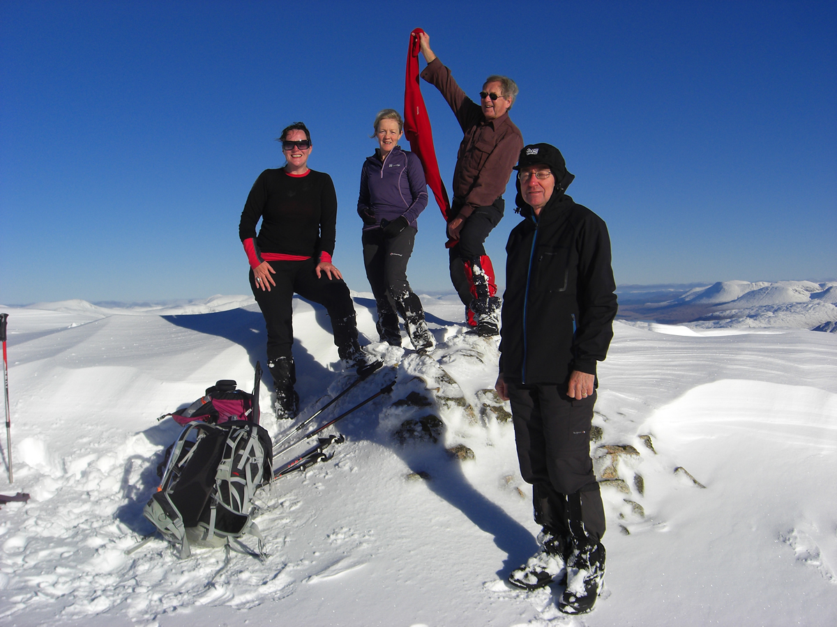
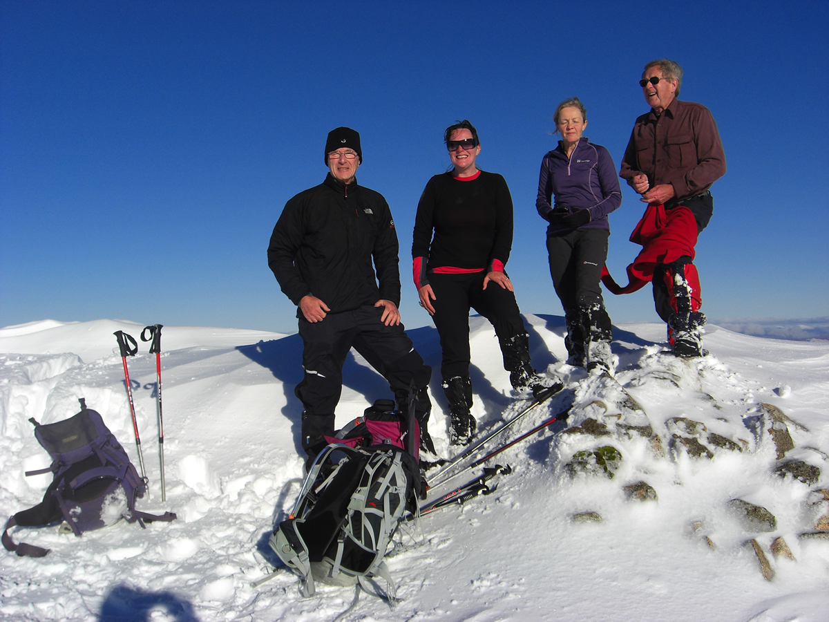
Sitting on the summit, bathed in glorious sunshine but with a temperature well below zero and a bit of a cool wind, was just wonderful; you don't get many days like this!
We had intended descending via the very steep south ridge directly down to the Lairig Noe. However, immediately we left the summit it was obvious this would be a difficult descent, as unlike our approach which was through soft, deep snow, the south ridge was hard packed and very icy. We did have crampons and ice axes with us, but decided to make a longer traverse along the west ridge before turning south towards Glen Noe, this being a much safer option given the uncertainty of the conditions of the south ridge.
As it transpired, this was indeed a safer route, and one that offered a few moments of almost comical antics as we slipped and skidded our way down through some awkward sections on a surface of deep snow which covered a very slippery grassy under layer. We made this slippery descent to about the 600m height, at which point we turned south east and traversed the hillside to intersect the high point of the Lairig Noe at the 564m bealach. The going was easier on the traverse, although a series of streams and minor gullies required some care as we dipped down, crossed streams, and then climbed back to continue along the hillside.
Once at the bealach, it was a fairly straightforward descent towards the estate track at the base of the bealach which would take us back to the hair-pin we had turned off at earlier in the day, and then onwards downhill towards our start point just beyond Castles Farm.
This was a wonderful day, and a great day of winter walking. Lets hope we have many more days like this one in the coming months.
Great walk, great company, great day - Thanks all.